Hike Info:
Trailhead: Eagle Creek Camp Ground, near camp host, lat � 45.64105 / long � 121.92654
Total Miles: 9ish
Elevation Gain: ~3500'
Difficulty: Hard
Family Friendly: No
All Season: 3+
Ruckel Ridge is a Gorge classic... an unmaintained trail that rides near or atop the crest of the ridge to the east of Eagle Creek. The route involves a bit of scrambling, some root ladders, an aptly named section called 'The Catwalk' and an undulating trail that gains around 3500' from the valley to the Benson Plateau. There are some spectacular views, but this hike isn't so much about the destination as it is all about the trail. It's a roller coaster ride that is fun every time I do it. John Oppelt covered it in an earlier TR here.
At the trailhead, I met up with a pair of hikers who were looking for the Ruckel Creek trail. I offered to show them Ruckel Ridge on the way up, coming down the Ruckel Creek trail. They were up for the adventure... so Tim, Nate and I took off towards the Ridge. The trail starts off near Eagle Creek campsite #5 at the signed Buck Point Trail. Follow this trail to the powerlines, where maintenance ends. Continue into the trees, veering right and down to the talus field. Follow the route up through the rocks, and you're on the unmistakable Ruckel Ridge. Keep going up and up and up... you'll know the instant you get to the Benson Plateau.
After we got to the Benson Plateau, we spent a little while scouting out the top of the old Rudolph Spur trail. While the trail is easy to find at the junction with the Ruckel Creek Trail (4 way blazes on a tree, faint trail heading east), it proved to be difficult to follow. We lost the trail fairly quickly. After doubling back again, we regained the trail, but didn't have enough daylight to explore the route further. Another adventure for next year...
On to the pictures.
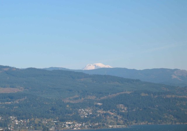
Mt. Adams from Ruckel Ridge
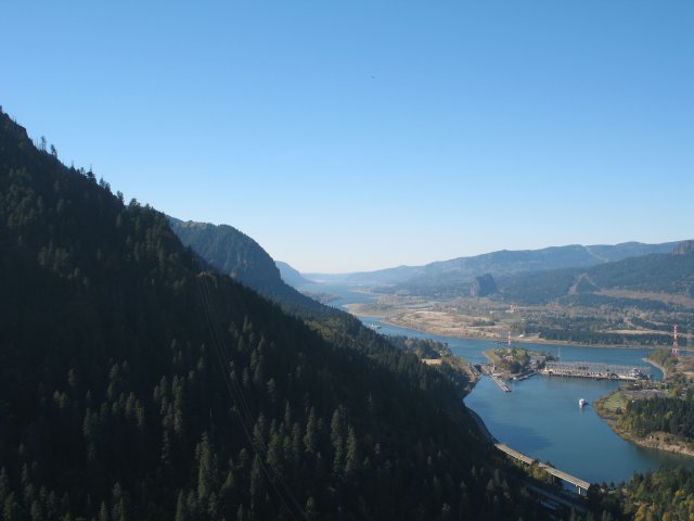
Wauna Ridge, Munra Point, Beacon Rock and the Gorge to the west...
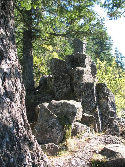
Columnar basalt pinnacles. Yes, they're part of the trail... 
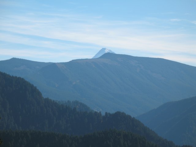
Mt. Hood peeking over the far end of Eagle Creek valley...
Nate navigates 'The Catwalk'...
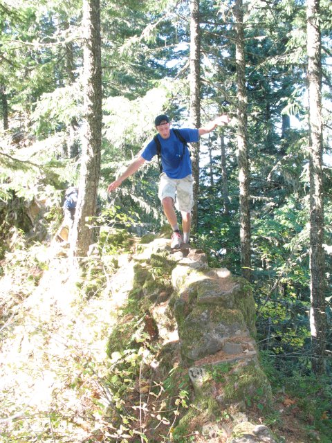
Looking back to where we came from...
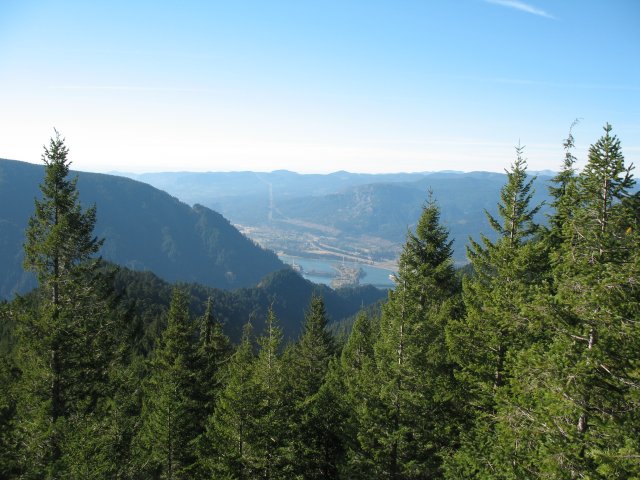
Hanging meadow on the Ruckel Creek Trail on the way down...
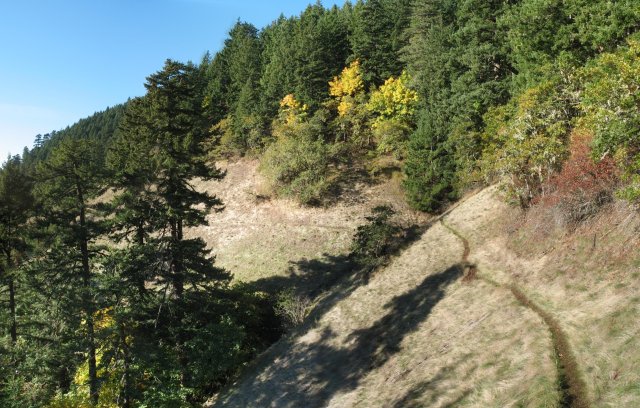
Table Mtn and Greenleaf Peak from the Ruckel Creek Trail...
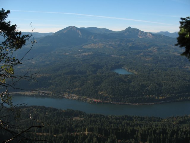
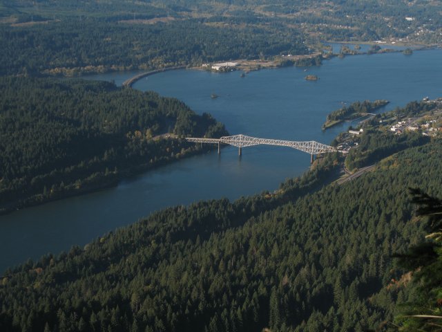
Cascade Locks and the Bridge of the Gods...
|