Hike Info:
Trailhead: Ape Cave Trailhead, lat � 46.10846 / long � 122.21142
Total Miles: 4+
Elevation Gain: ~250'
Difficulty: Easy
Family Friendly: Yes
All Season: No
I know many people here have long since explored the Ape Cave... many several times over. Since nobody on Portlandhikers has covered the cave yet, I'm adding this quick report for those who have never been.
The Ape Cave is a popular lava tube near Mt. St. Helens, with easy and more difficult areas to explore, depending on your ambitions. The cave is located on the south side of St. Helens, a few miles northeast of Cougar, Washington. The Forest Service maintains a nice web page covering the area. Lantern rentals are available on-site, but many people bring their own flashlights and headlamps. Parking permits are required... $5/day or the yearly Forest pass. Beware of weekend crowds. The parking lot fills fast, but roadside parking is available.
We went to the Ape Cave with the hope of meeting up with the boys' Cub Scout pack. Unfortunately, we got a late start and didn't get to explore the cave as a group. Motivation wasn't extremely high on this day, so we explored the easy lower cave, leaving the longer upper cave for a day when we had more time. To make up for our lack of cave time, we made the quick trip to Climber's Bivouac to show the boys the mountain and get a few afternoon shots.
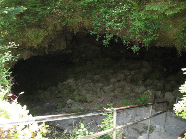
Lower cave entrance
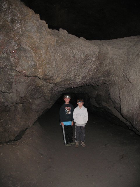
Jake and Dillon under a neat lava formation
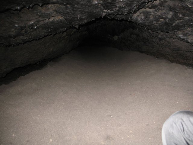
The end of the lower cave...
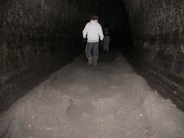
Walking back up the railroad tracks. After the lava formations on the side cooled and hardened, another lava flow coursed in between them, leaving the vertical rails on either side after the lava drained away.
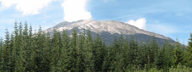
Mt. St. Helens from the Climbers Bivouac, where most summer climbs start.
|