
Gotchen Creek Meadows
The weather wasn't looking hopeful anywhere else in the big Cascade volanoes around Portland, so we opted for the south side of Mount Adams. The weather called for 58°F and partly cloudy in Trout Lake, so the intention was to hike the Shorthorn Trail to the South Climb Trail, making a loop via the RTM trail and FR 8040-500. But as soon as we got to the trailhead, the weather turned sour and hiking through burned forest in windy/rainy weather didn't seem like the best idea, so we decided to head further east.
Also brought along a friend who's new to the area and also a student here in the Portland area. She's done hiking before but wanted to see some Cascade mountain views. Our goal was to head to a big mountain with views, so Mt. Adams had the best chance for that based on the situation. Desert and low-elevation hiking was considered but would have been less unique. Unfortunately the Shorthorn-Round the Mountain Loop didn't work out.
Hike Statistics:
- Weather: Sun, rain, wind, snow, and clouds.
- Distance: 10.2 miles
- Elevation Gain: 2249 feet
Forest Road 8040 on the way to the Shorthorn Trailhead.
The view of the mountain before the clouds rolled in.
We decided to hike up to Gotchen Creek Meadows via the Snipes Mountain Trail. This trail follows the east side of the A.G. Aiken Lava Bed (and follows Gotchen Creek–but not the same trail as the Gotchen Creek Trail on the west side of the lava bed, by the way).
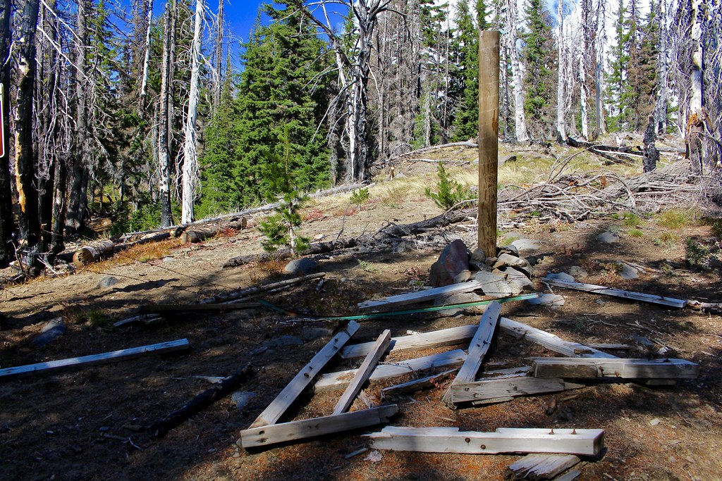
The Snipes Mountain Trailhead
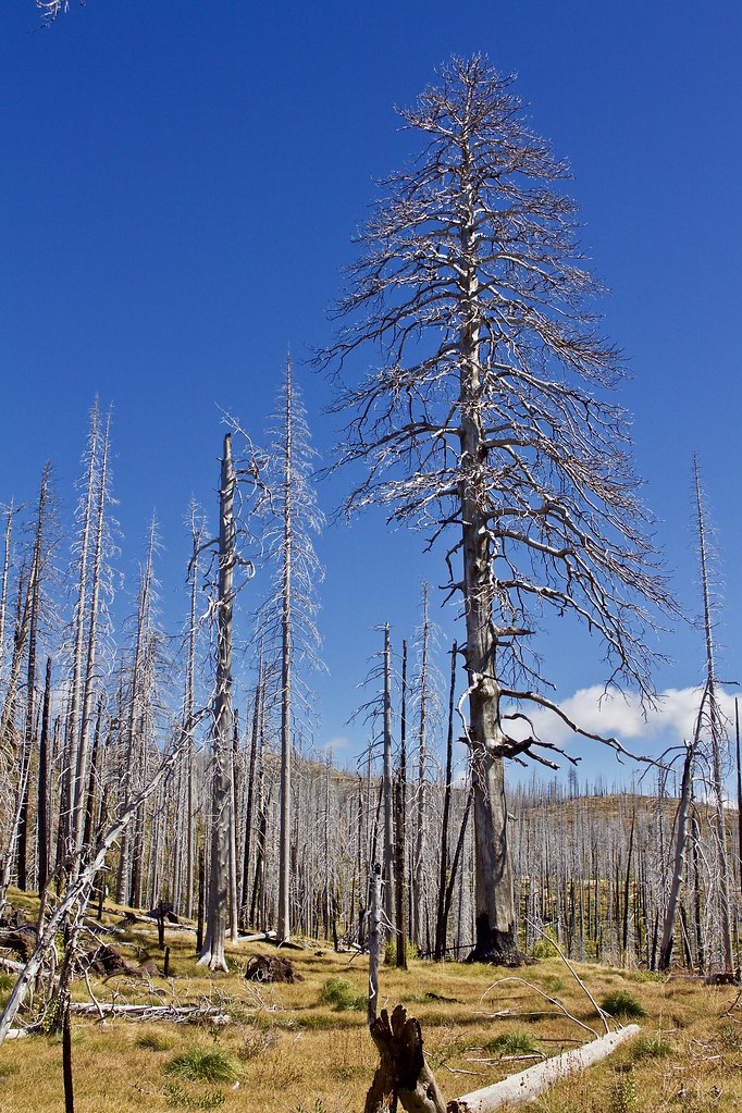
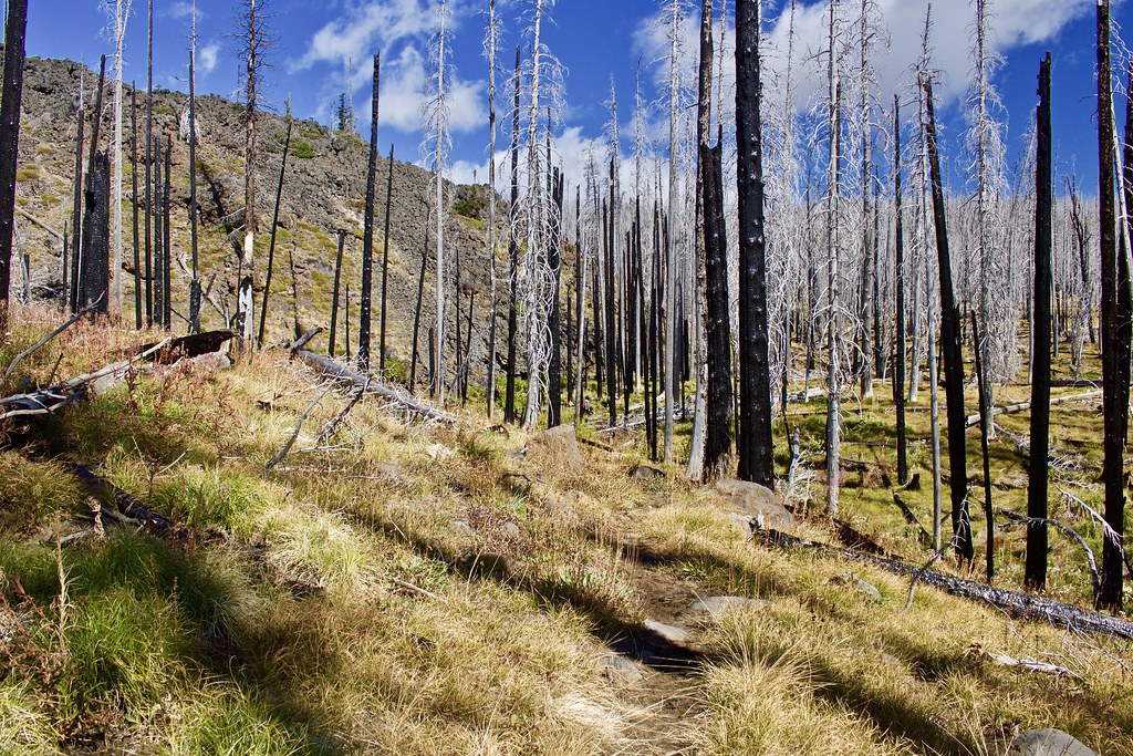
The trail starts out in a dry forest before immediately heading into the burn. The forest along this trail was burned in the 2008 Cold Springs Fire, the 2012 Cascade Creek Fire, and the 2015 Cougar Creek Fire (some of which overlap).
This side of the mountain was sunny, but just on the other side of the A.G. Aiken Lava Bed it was cloudy and raining. What a difference a few miles makes.
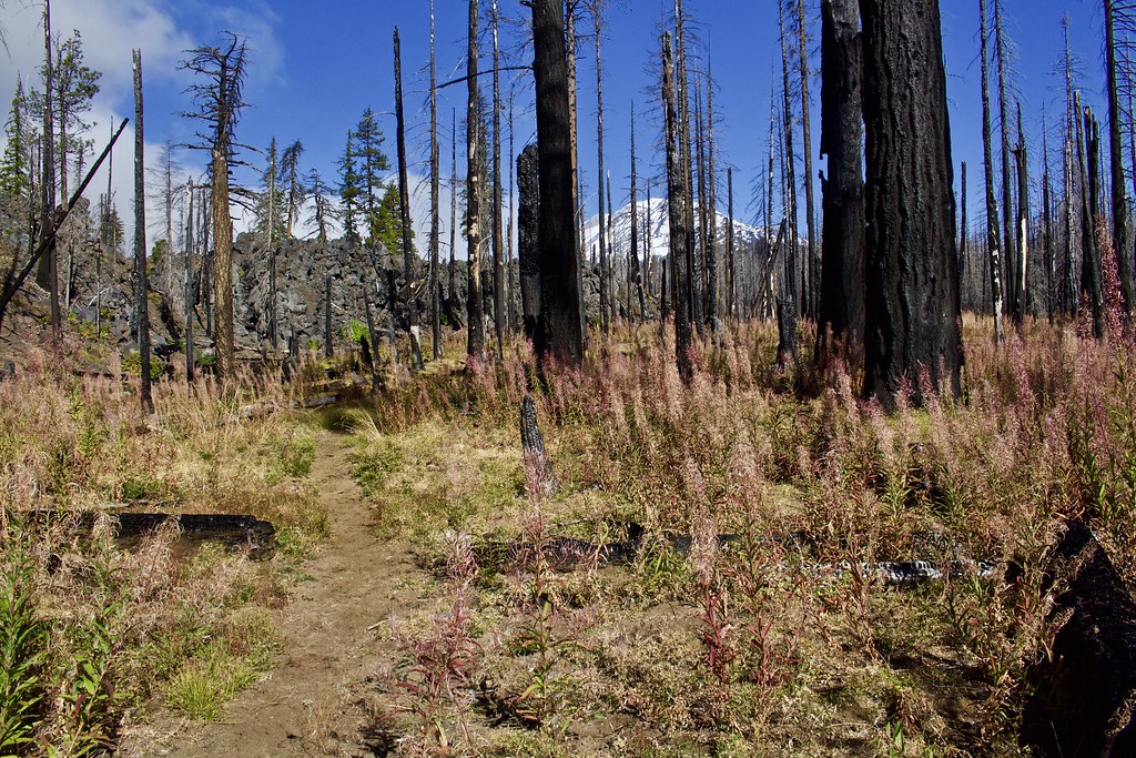
The trail following the lava bed. Look at all those dried up fireweed wildflowers! Hike this trail in wildflower season; it looks like the fireweed makes for quite a show!
Following the lava bed
Quite a few of these.
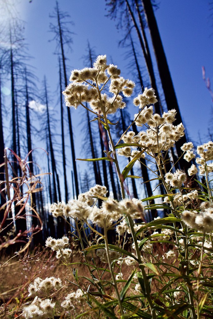
This wildflower (many of which are still blooming), has a strong scent of chocolate/coffee toffee.
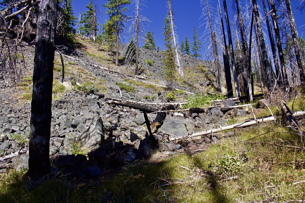
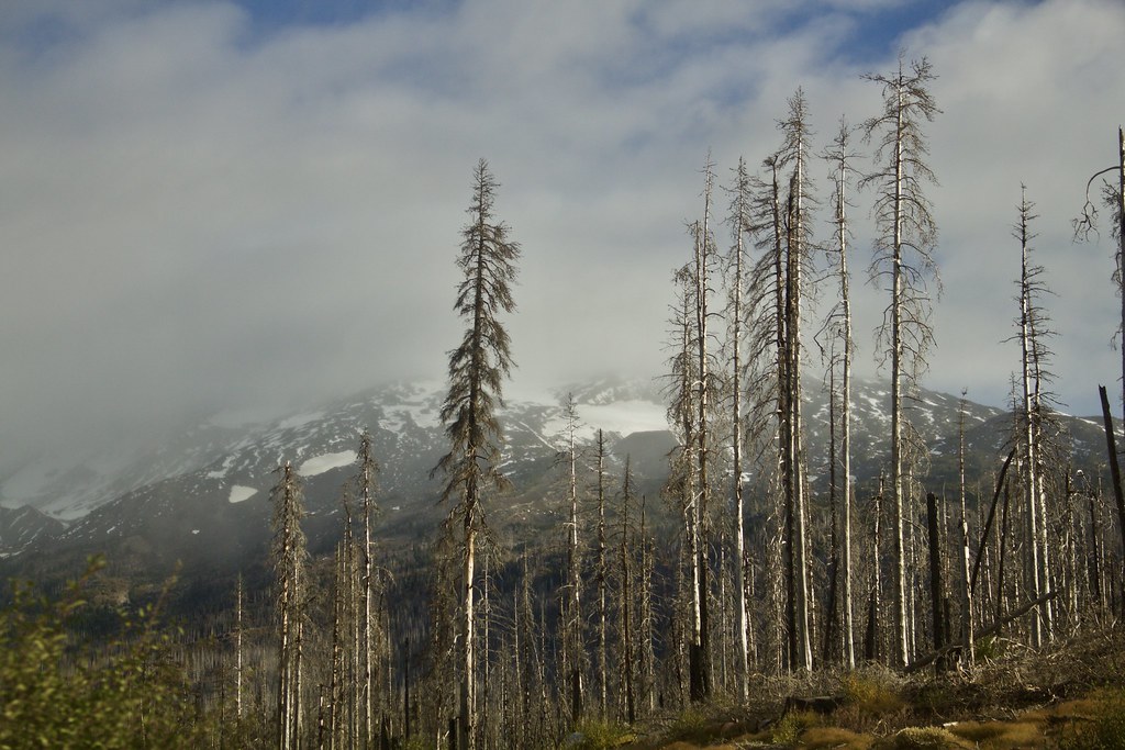
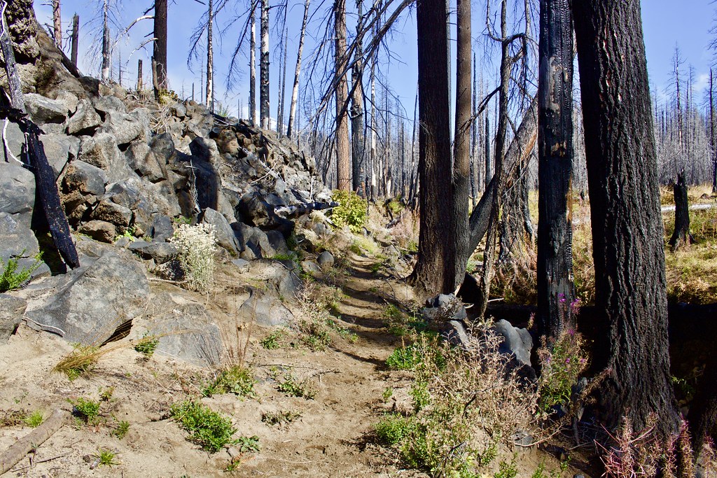
This photo gives a good impression of the sheer height of this lava flow. I believe it is the tallest (clearly visible and recent) lava flow on Mount Adams, at least compared to the Tahk Takh, Mutton Creek, and Muddy Fork flows).
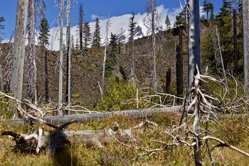
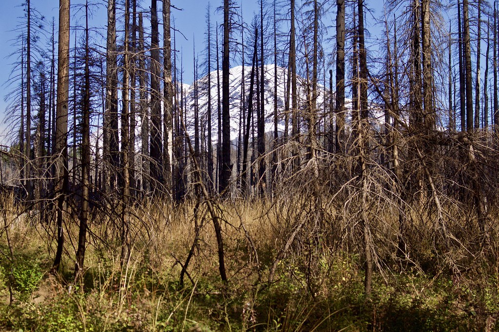
Even behind the lava bed and some pesky clouds, the view of the mountain was nothing short of spectacular. It was sure great to be back on Mount Adams after so long this year.
The weather on this hike varied from sun, sun and rain, wind, and snow (twice at the meadow, though non-sticking).
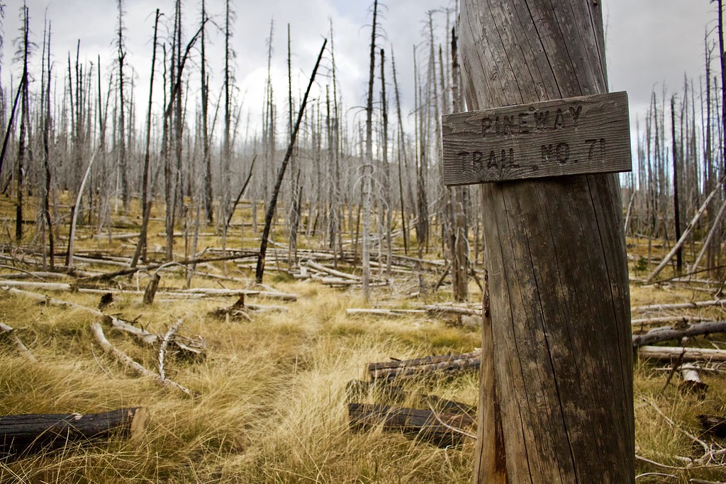
Somewhere in the middle here we passed the junction with the Pine Way Trail.
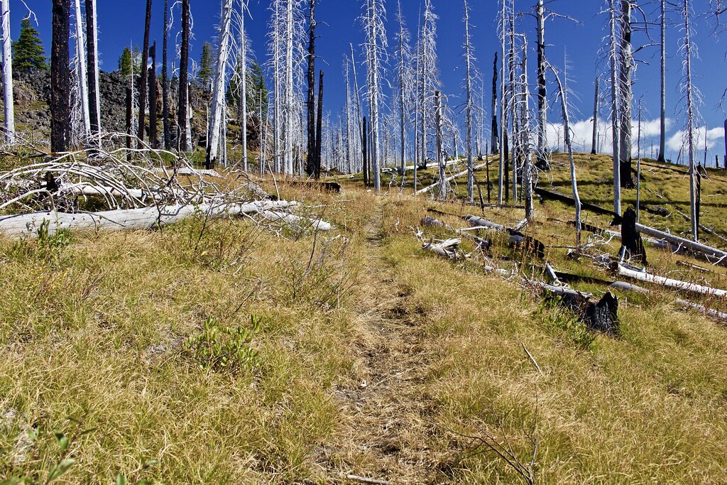
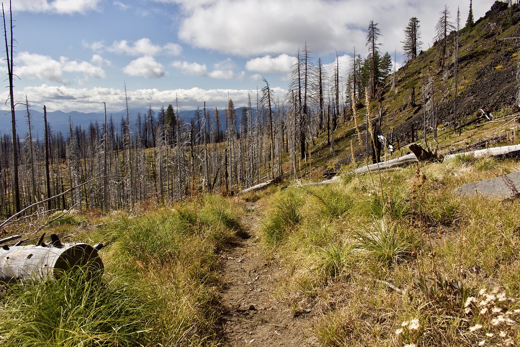
About halfway to the meadow, the trail started to open up as it crossed over a small "saddle" or ridgeline. From here on it was much more open with wide views to the east and south.
A large, beautiful tree along the ridge/saddle caught my attention.
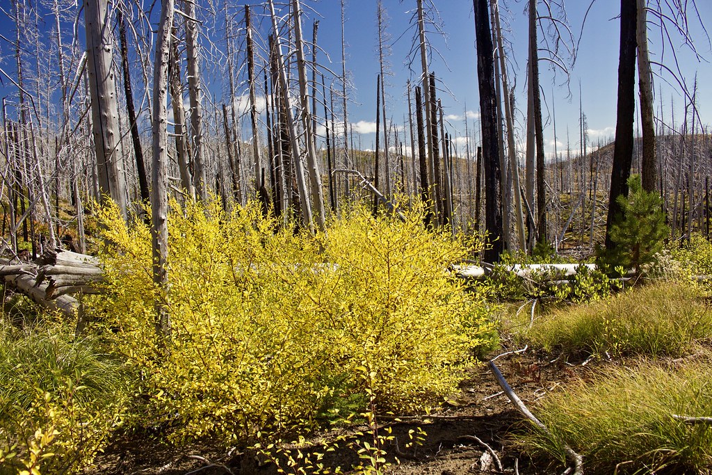
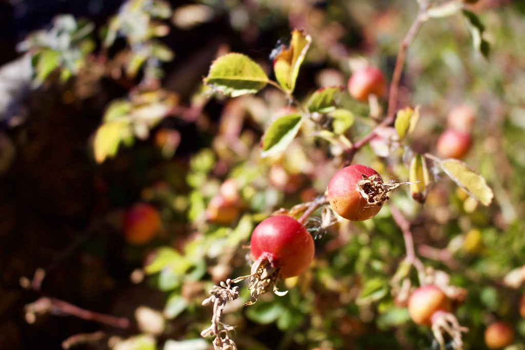
While most of the fall color along this hike was the dried up grass, there were a few of these bushes as well as some recovering quaking aspen groves.
Looking back down the trail.
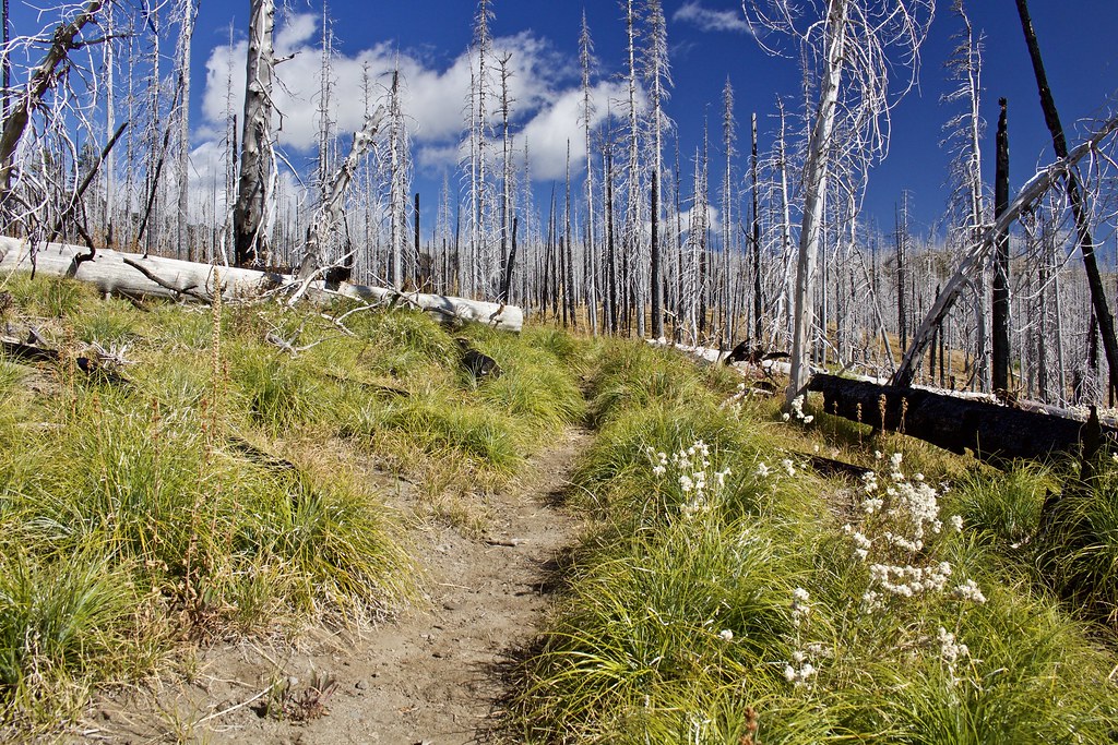
The stark contrast between the black and white trees against the blue sky was beautiful in it's own way.
Following the lava bed.
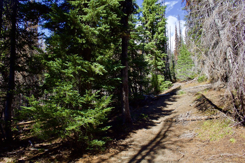
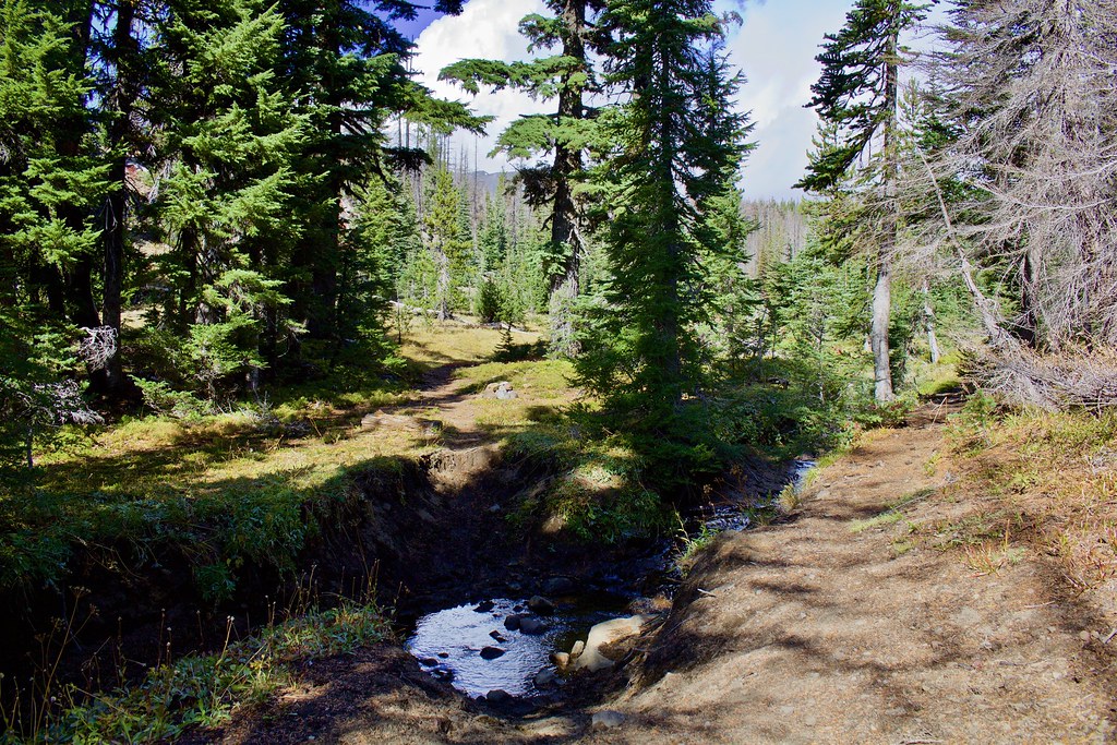
After a few miles, the trail enters a green, transitioning montane to subalpine forest before reaching the Gotchen Creek Meadows complex.
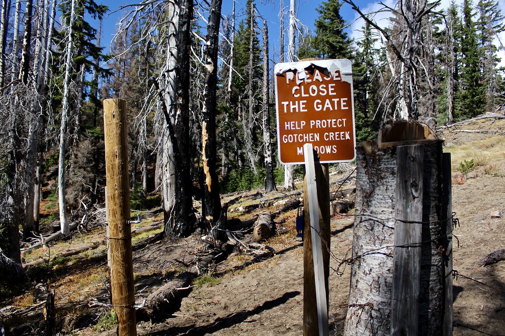
Soon we passed a gate that was supposed to keep cattle off of the meadows...
Unfortunately the whole fence is broken and burned to the ground and the forest service nor the Yakama Reservation has fixed it, so the cattle have spilled into the nearby meadows, including Gotchen Creek Meadows and the famous Bird Creek Meadows. The damage is absolutely terrible, both aesthetically and environmentally.
Broken fence right next to the gate.
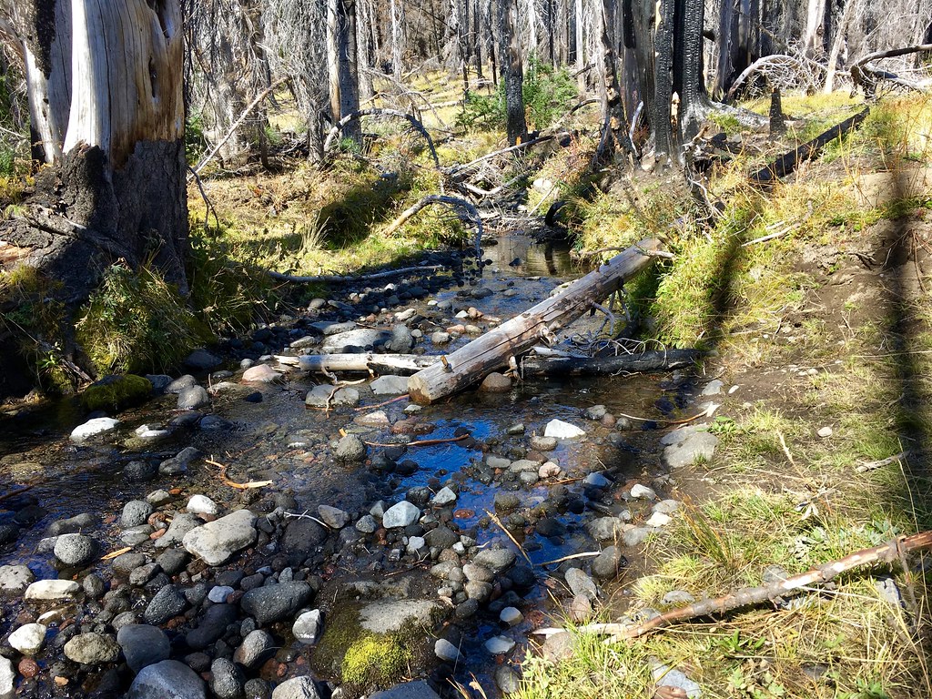
Crossing Gotchen Creek
After a short while hiking through forest and crossing Gotchen Creek several times, the trail crossed the creek once more before entering the first of several meadows under the Gotchen Creek Meadows title.
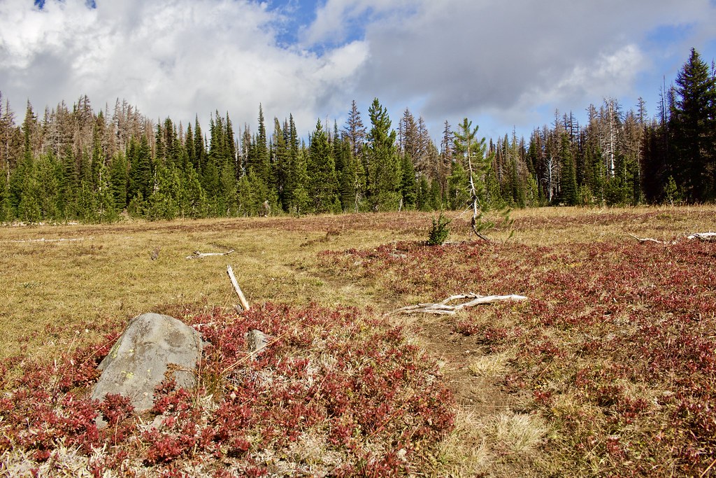
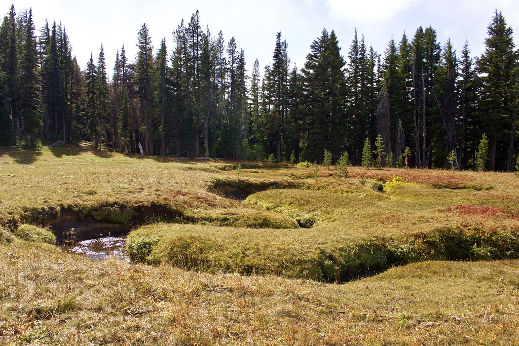
The second meadow, with some fall color on display.
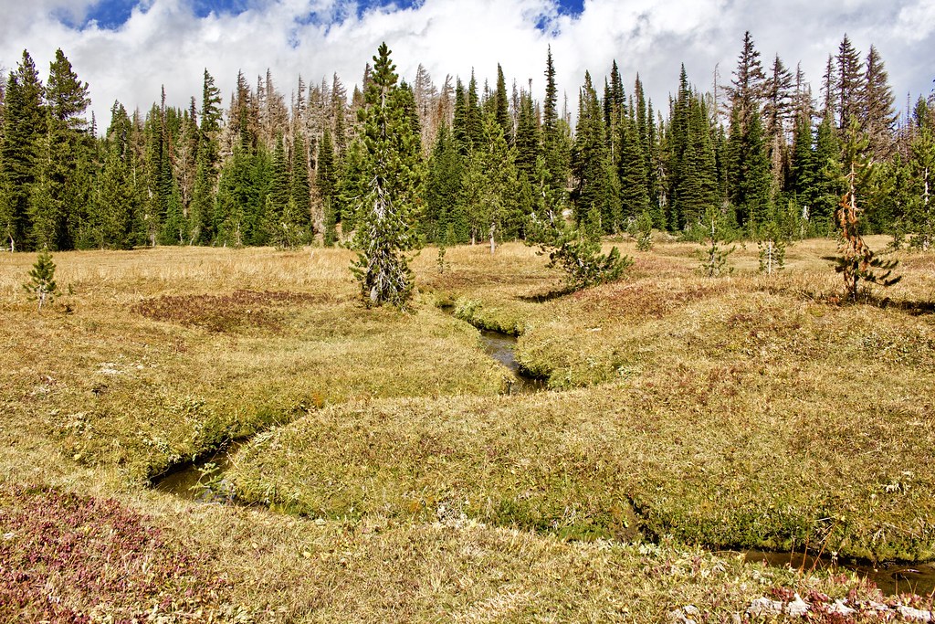
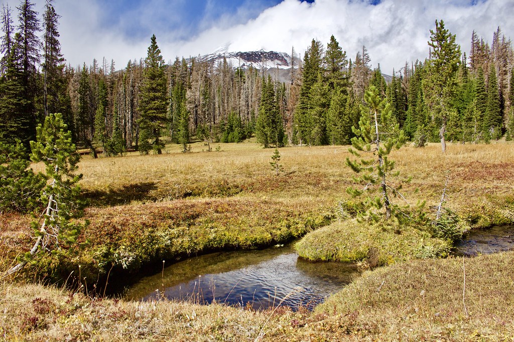
The third meadow is the "main" meadow (with a campsite) and has the best views.
Here Gotchen Creek winds around in a classic meandering snake pattern.
We walked out into the center of the meadow to get a view of the mountain. The clouds rolled over the mountain over the course of the next hour. This is as clear as it got, but the clouds added for some extra drama!
During our stay, I recorded a timelapse of the clouds rolling over the mountain. I had two cameras taking a timelapse, as my DSLR was also recording a different timelapse of the mountain (taken in individual images that haven't been processed yet).
https://www.youtube.com/watch?v=dWbHS2CWFpc
Some of that film used here. The hype for the big-budget MLP movie that just came out in theatres yesterday had me hyped!
https://www.youtube.com/watch?v=jfZez6Y8a6o
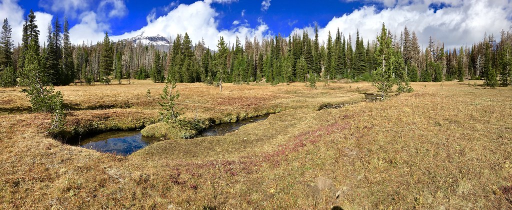
Panorama taken with my iPhone 6s.
View the MyHikes guide and gps track download here.

