
“Windy City”
5/27/18
Rating: 4 Stars
Miles: 4.7 (90% of GPS)
Time: 2 hrs, 30 min
Avg MPH: 1.9
Elev Min: 200’
Elev Max: 1,178’
Total Ascent: 1,160’
Steps: 11,000
Flights of Stairs: 140
Time Up: 3:45am
Sleep Hours: 4.5
Start Time: 5:20am
Temp Low: 50
Temp High: 56
Other hikers: 0
Wildlife: Finch birds, Other birds
Parking Permit Required: No
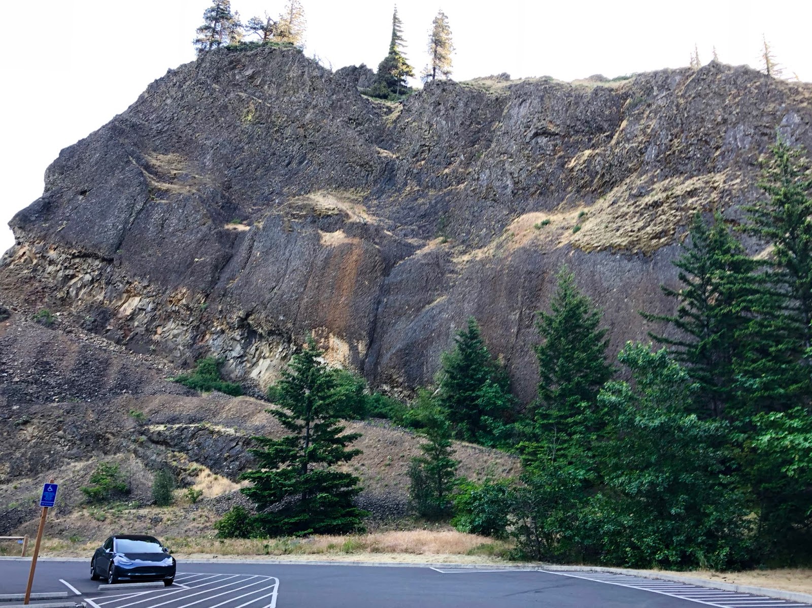
Parking Lot: 13 spots
Bathrooms: Pit toilet
Columbia River Gorge * Lower Mitchell Point * Mitchell Point
Opening Shot: Mitchell Point

I met up with my good friend Alan at 4am to head out on the morning drive to Mitchell Point. It was nice to have company after several solo hikes. We arrived, just after dawn to an empty Mitchell Point trailhead. It was super windy, which was a stark contrast to my last several morning hikes in the Gorge as there were good sized whitecaps on the Columbia.

We started the hike up and I had forgotten how steep it was. It’s not a very long hike though, so it’s not a big deal. We quickly arrived at the spur trail to the left to go out to the lower point. We got our first good view here to the west in the morning light.

As we broke out of the trees, the wind really started whipping and blowing through the grasses.
2018-05-27 Mitchell Grass from Michael Irving on Vimeo.
The sunrise was just starting to happen in our eastern view.

We got to the top and had more good views to the east, over the rough Columbia.

Here’s a 180-degree video that will help you appreciate the wind.
2018-05-27 Lower Mitchell from Michael Irving on Vimeo.
Here we are on top of the lower point,

We went back to the main trail and continued on upward to the power lines. On the way, we saw Sedum,

and Forktooth Ookow.

We hung a left at the crest to head up to the top.

Just before the top, we could see the shadow of Mitchell Point as we looked west down the river with Dog Mountain in a cloud cap to the right.

The eastern views were equally spectacular.

Here is the view from the summit of Mitchell Point at 1,178’. We could see the summit of Mt Defiance too.

Across the river, we could barely see the tip of Mt Adams peeking over the horizon.

The wind was surprisingly calmer, so we had a nice break and snack while watching finches fly around in the breeze.

Here is a video clip from the top.
2018-05-27 Mitchell Pt Top from Michael Irving on Vimeo.
Retracing our steps, we saw some more flowers as we made our way back to the power lines.

We followed the service road as it wound around up and down through the corridor. I saw a lone Tiger Lily in this section.

The only daisies were in here too.

We had a segment with a bunch of spit bugs…yeah that’s pretty gross,

and Lupine.

Another rare one today was Columbine,

and Ceanothus.

We took the road to the junction of the closed Chetwoot Loop trail. I explored this trail last year and it was totally destroyed and impassible as it approaches Perham Creek, so we skipped it. Instead, we took the barely perceptible connector trail that goes straight across the corridor from the Chetwoot start. You have to really look closely for it. We quickly dropped down through the trees to connect to the Wygant Trail. We went left, just a few yards, to a T intersection, where we turned right to see the so-so, but only overlook in the area.

We turned around and went back to the intersection and continued back toward the trailhead. I was shocked that we were still the only car in the parking lot. We also didn't see a single hiker on the entire hike. With all the closures from the Eagle Creek Fire I thought it would be much more busy. it really surprised me that we were still solo.
It was another great hike. In my quest to re-hike all the Oregon side trails after the fire, I’m temporarily complete until another one opens…hopefully that will be soon!
Summary:
It’s a big payoff for not too much effort. It can be about 1/2 the distance if you just go out and back and don’t make it into a loop like we did. After getting home, my friend Alan texted me that he had discovered 6 ticks on him that he picked off. (I found none on me.) We both wore long sleeves and pants. So take warning for that!
Favorite experience of the day:
Sharing the experience with a good friend including the drive out and back.
Least favorite experience of the day:
It was windy! Not a terrible thing, but I like the typical calm of the morning.
Today's route & GPS track (Clockwise):
https://www.gaiagps.com/datasummary/tra ... 81b9a54e0/
Google Earth:

-GoalTech (aka Mike)
www.GoalTechHikes.com
@goaltechhikes (Instagram)
