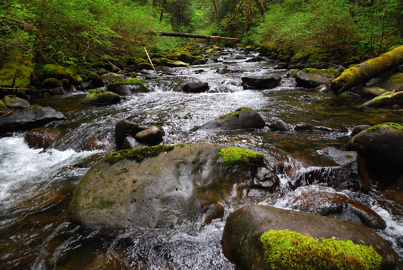
Opening picture, from the middle of Tanner Creek.
Did a fantastic, cloudy loop in the Columbia Gorge Friday. From the Eagle Creek TH, I went up Road 777 and Tanner Creek to the Moffett Trail, then up on Moffett to Nesmith Point, down the Nesmith Trail to the 400, and finally came back on a combination of the 400 and Old Highway to Eagle Creek. The short story is that the Tanner ford's easily doable, all the trails are in pretty good condition, and the promised hornets near the Tanner ford seemed to either be gone, asleep, or in a generous mood.
Starting from Eagle Creek around nine, I took the staircase shortcut to Road 777, and followed that for a few miles, as the tracks faded.
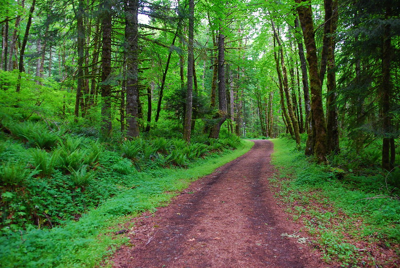
#1
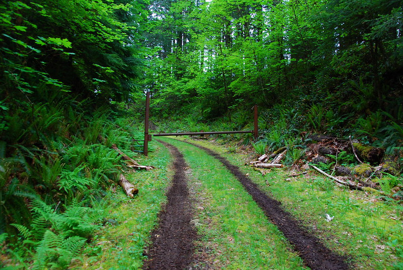
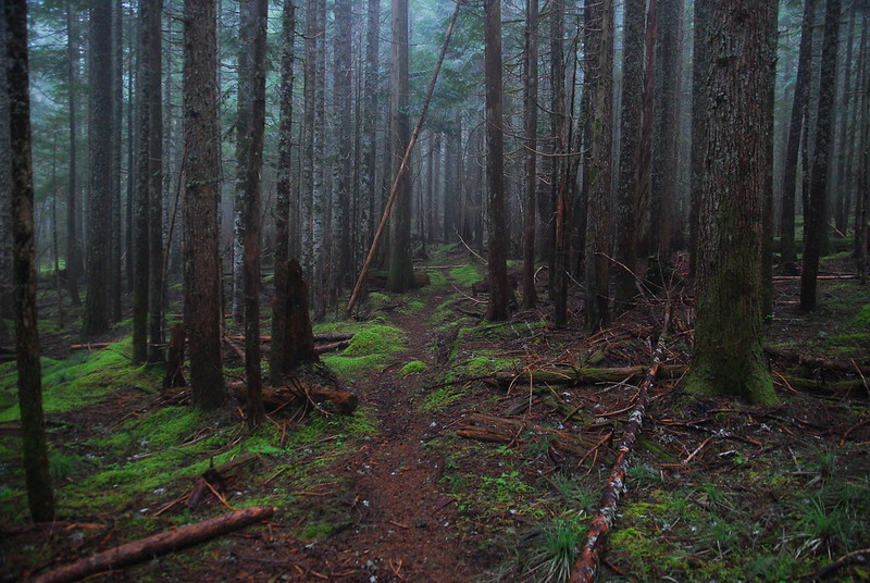
#2
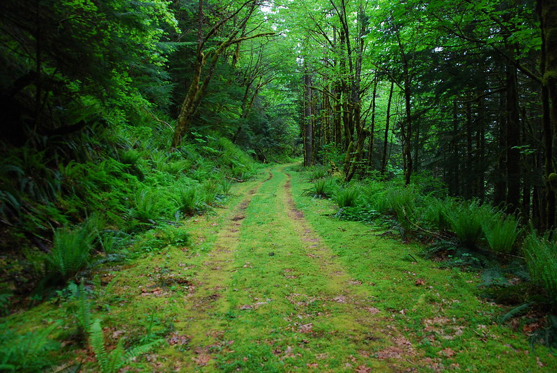
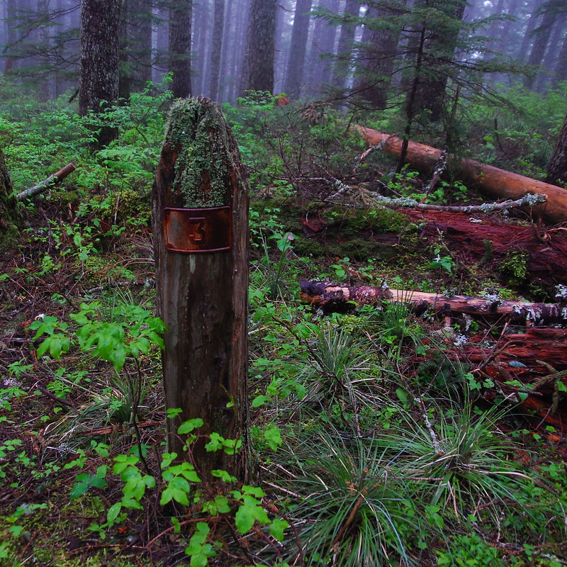
#3
Although they faded, there were definitely new tire tracks. Anyone know who still has access to this road? Is it just Bonneville Power people?
Anyway, I'm not usually a fan of road walks, but there's a lot to see on the 777.
Old Tanner Butte TH
Looking across the Tanner Creek drainage
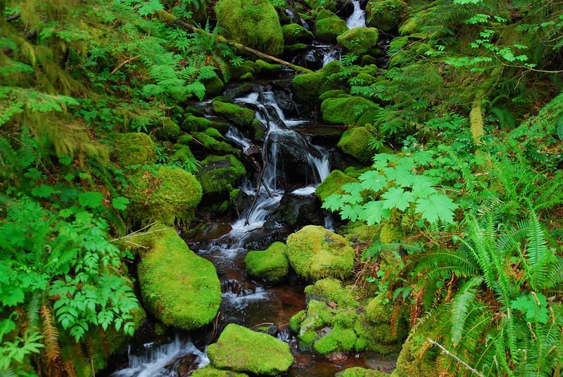
One of many, many streams
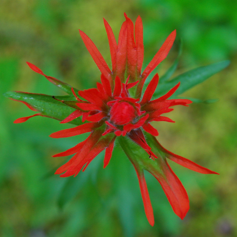
Paintbrush
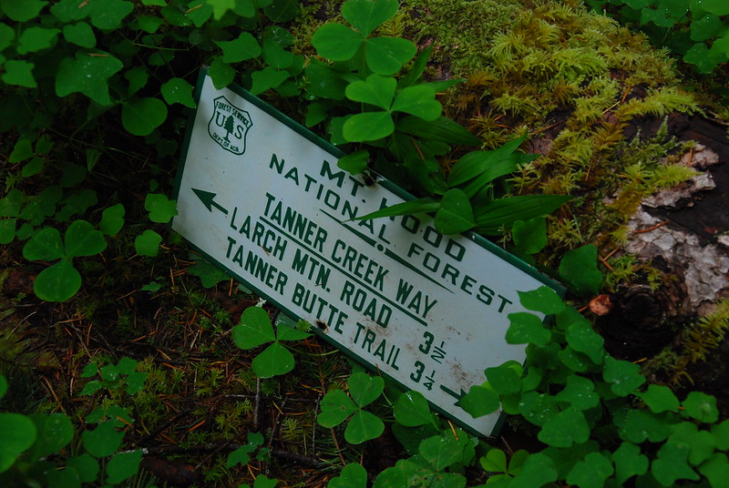
There's no sign at the beginning of the Tanner Creek Trail, but it's relatively obvious, especially as someone has carved "TC" in a standing stump. A little ways down the trail, there's a set of very old looking trail signs.
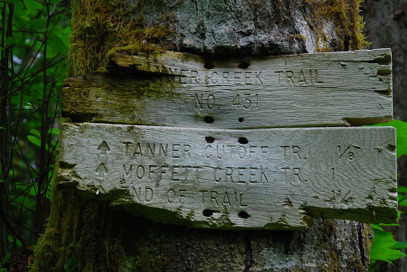
With, as usual, distances that are at best vague approximations
Old... something?
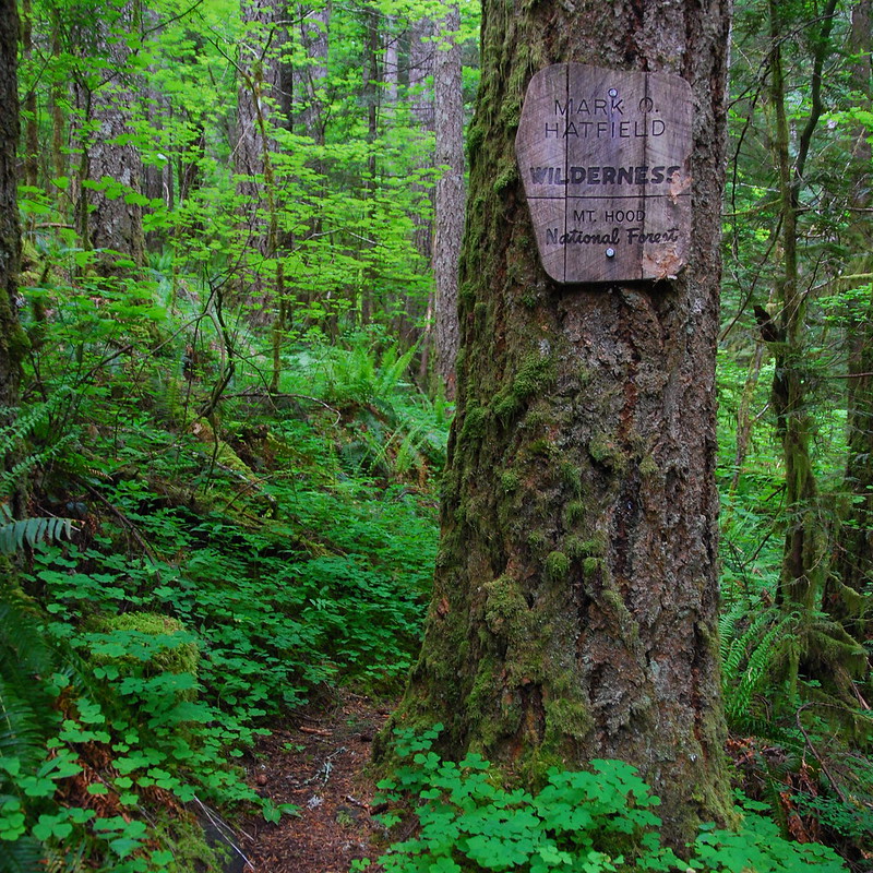
The trail enters the wilderness pretty much immediately
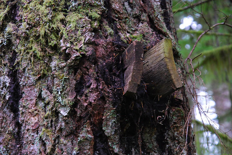
A tree got hungry and ate the old Tanner Creek Cutoff sign
I was ready for the trail to be pretty faded, but, on the whole, it wasn't that bad - similar to the last time I was on Bell Creek. This is surely due in part to Sean's heroic work on the trail a while ago (read all about it here). Thanks again, Sean!
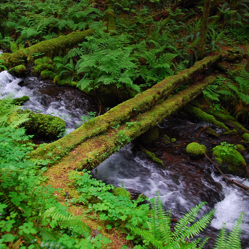
Also like Bell Creek, the trail's essentially one long stream crossing. I love the old bridges:
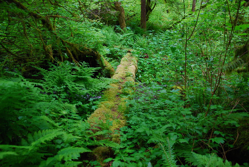
Some sections of the trail were a little brushy...
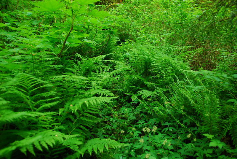
The trail's in the middle of this picture
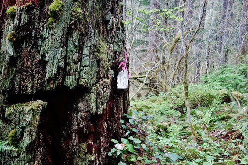
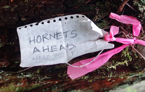
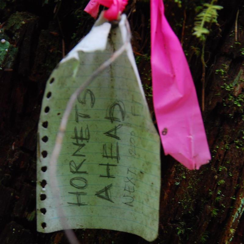
A little ways in, there's a sign warning of hornets, but, like I said, they don't really seem to be around. Anyone know how long this has been here? Are they still a problem in summer?
I walked very carefully from here to the ford
While looking down carefully for hornets, I saw this fellow. And then half a dozen more like him. They're everywhere! I think I may have found Sean's Secret Stash.
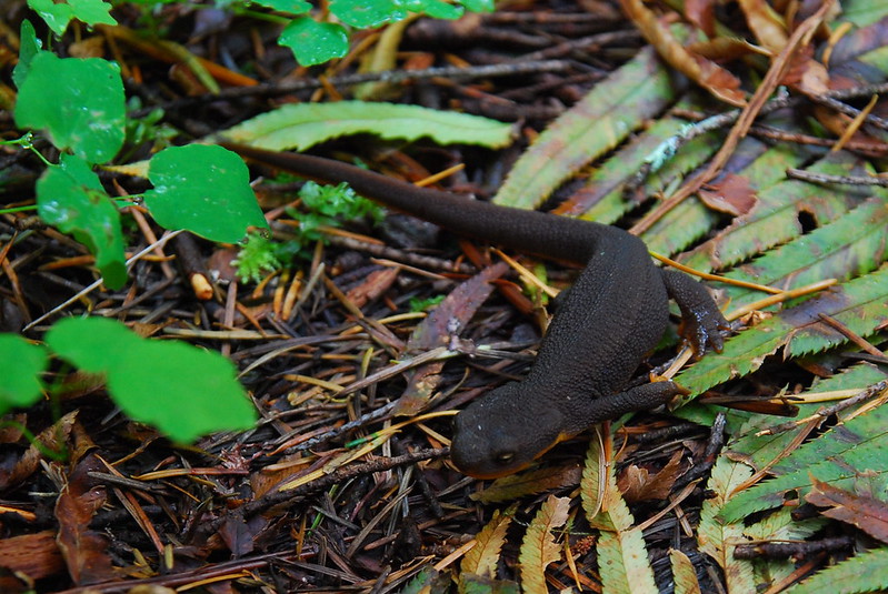
Yo.
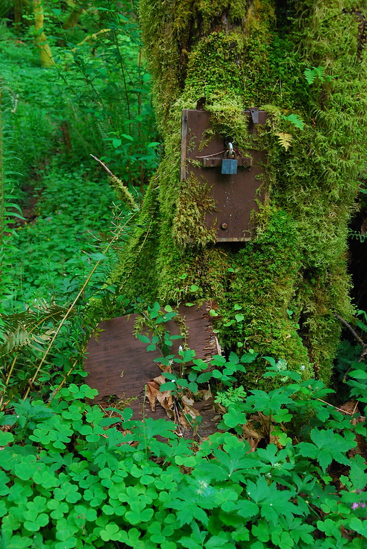
There's some flagging marking where the ford and Moffett Trails split off, but no official signs. There is, though, this at the junction:
Hmm.
Sean and JM on the PH Facebook group helpfully pointed out that the Tanner Creek Trail used to extend much, much further south, toward a tangle of roads that connects to Larch Mountain. I wish it still did.
The ford itself was no problem. I didn't try to do it dry - just took the opportunity to change into flip flops and take a short snack break - but, at the deepest point, it was just over my knees. I suspect it'll be considerably lower soon.
Déjà vu
I was expecting the Moffett Creek Trail to be more of the same, but it was actually a little easier to follow than Tanner Creek. The only big problem is that the tread consistently seems a little eroded, so footing is sometimes a little uneven. And even then, there were compensations.
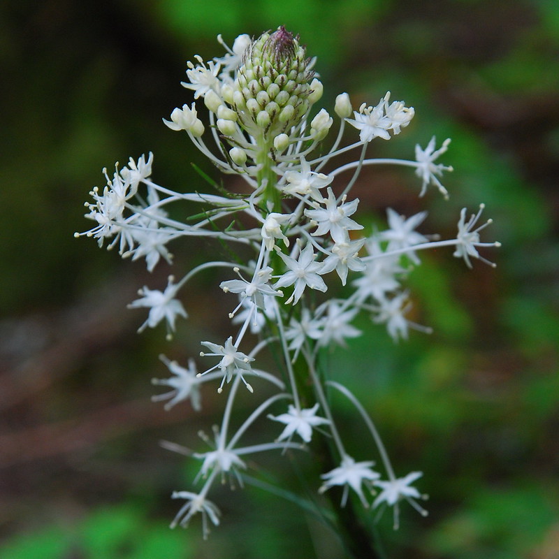
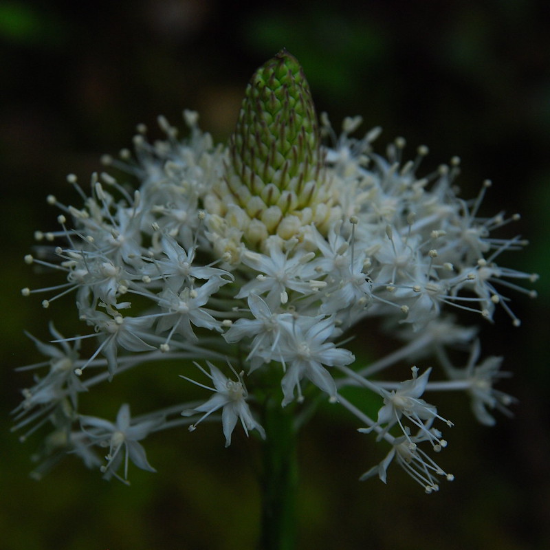
Beargrass!
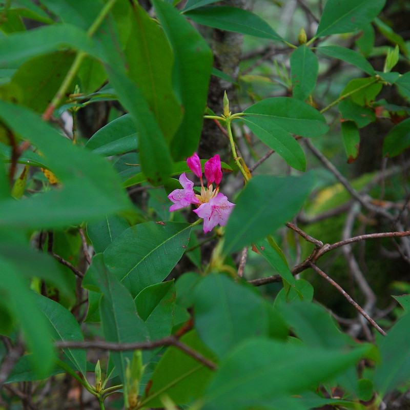
The rhododendrons are about ready to pop at 3000'
And the trail itself is really pretty. I know it's a long ways from anywhere, but I'm really glad it hasn't faded into oblivion, and really thankful to everyone who's put in the work to keep it alive.
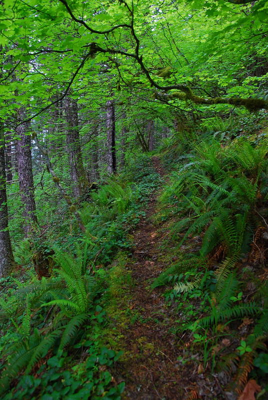
Green Tunnel
Around 3500', I entered a cloud that stuck around until below Nesmith Point. It wasn't too cold, but it was wet and a little clammy.
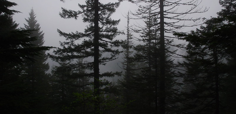
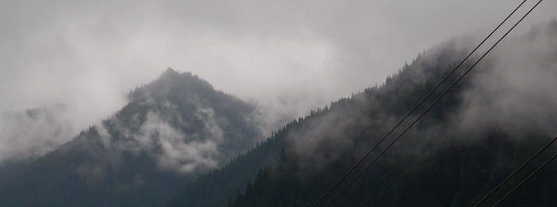
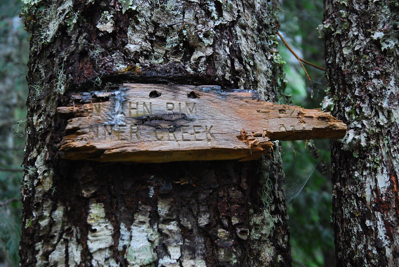
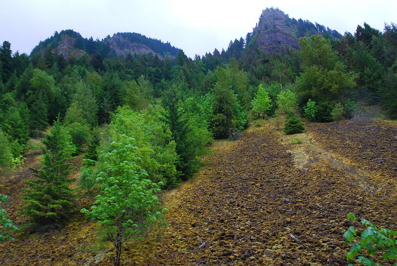
The views from Von Ahn Rim were... subdued
Von Ahn Camp? If so, this is about all that remains of it
Shortly after the trail levels out a bit, there are a couple road junctions (again: used primarily by Bonneville people?), and a powerline meadow with the loudest electricity buzz I've ever heard. I thought it was chainsaws!
Cryptic trail sign
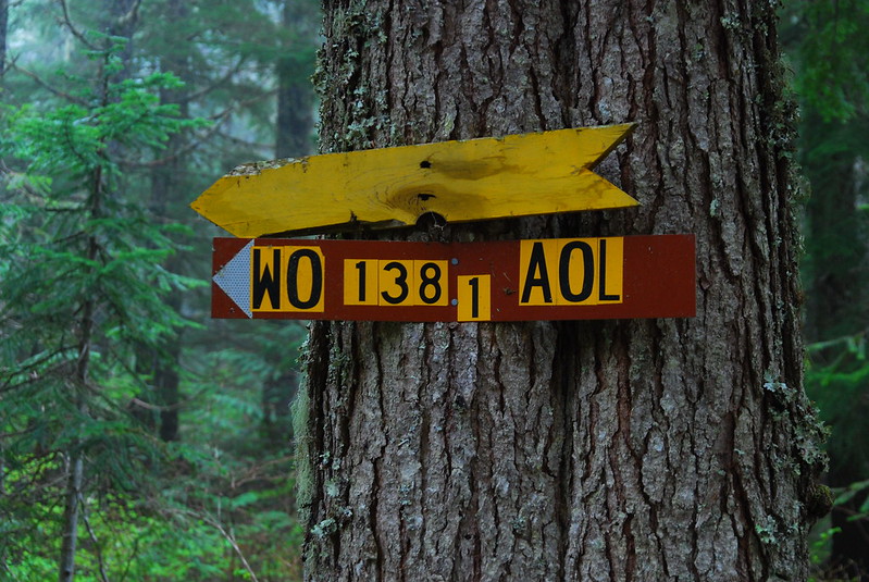
Equally cryptic road sign
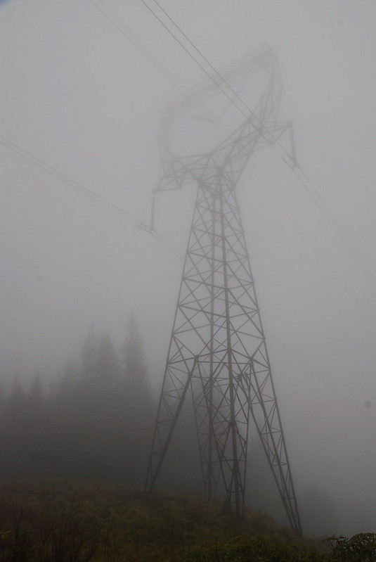
BUZZZZZZZ
At this point I started to get a little chilled, and put on my raincoat, more for insulation than water protection (I'd so far just been walking in a t-shirt and shorts). I also heard a loud hooting, which I initially took to be some ruffians out for a wilderness adventure, but which I'm actually pretty sure was an owl of some sort. There was also a raven squawking and a bunch of birds accusing me of trespassing. Wonderfully noisy up there!
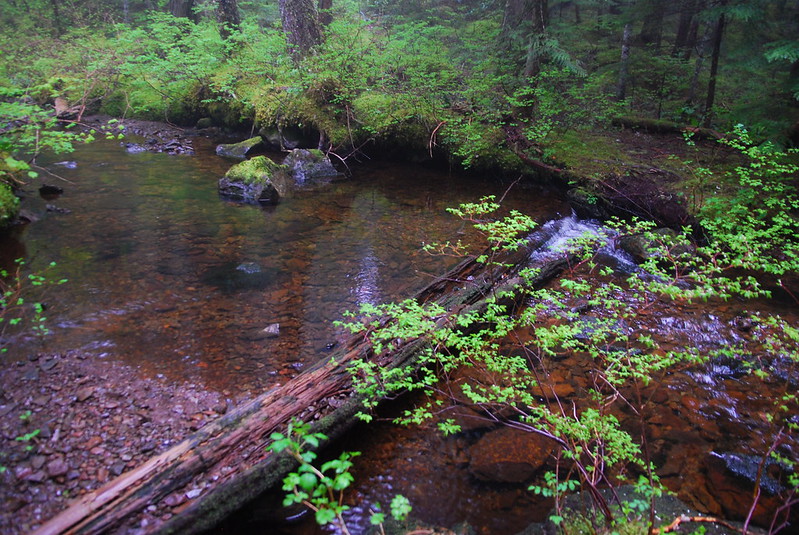
After the Wauneka Point junction, I came to an easy hop-across creek, that I imagine might be a little more difficult in wetter weather.
Moffett?
And then a creepy couple miles to the Nesmith Point Road junction.
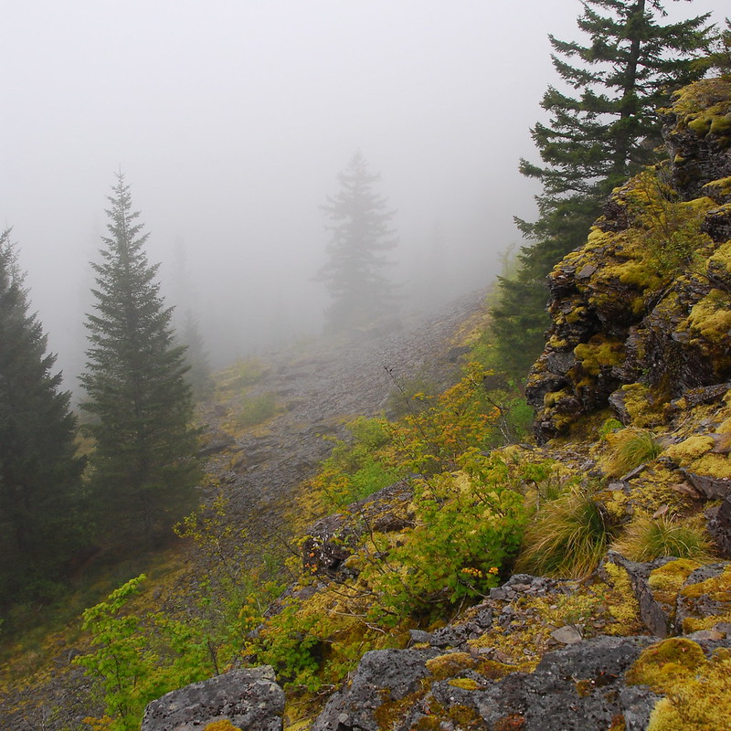
I did the obligatory push up to Nesmith, though the view was mostly just a fuller vision of the cloud I'd been in for several miles. It was also pretty windy and cold. I ate a quick lunch near the summit block, then scurried down the Nesmith Trail toward hopefully clearer skies.
Strangely marked stump on Nesmith Road. Anyone know what's going on here?
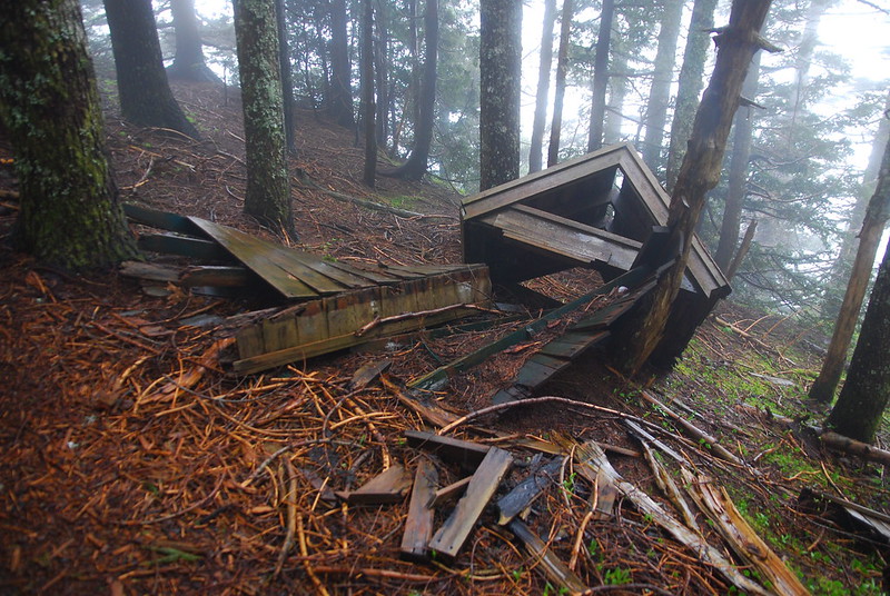
The outhouse is out of order
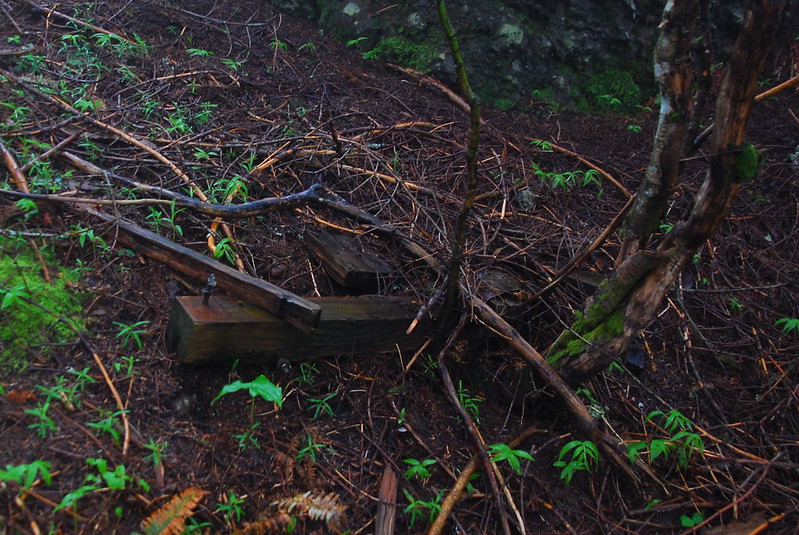
Lookout remains?
The Nesmith trail seems to have a split identity. For the first and last part, it's easy, soft walking through the forest. But for the middle part, as it passed through a (landslide?) canyon, it's rocky, eroded, and a little tough. I ran into the first people I'd seen all day in the middle of the rocky section, who asked exhaustedly how much further to Nesmith Point. I told them in miles, but they wanted it in time (!?). I said I guessed it depended on one's speed, but they found this unsatisfactory. Weird.
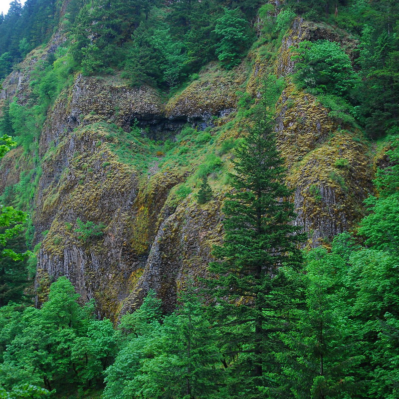
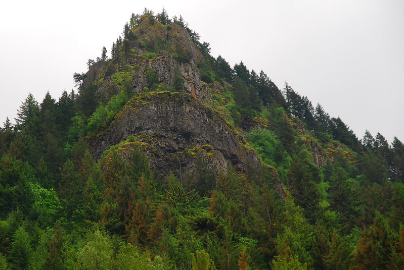
Anyway, I love the rock faces in this area.
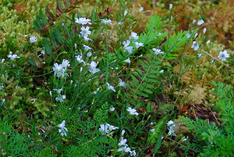
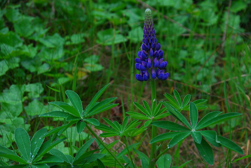
And flowers!
After the trail leveled out, it was back to pleasant, fast woods walking. Interesting contrast with the gray about near Nesmith.
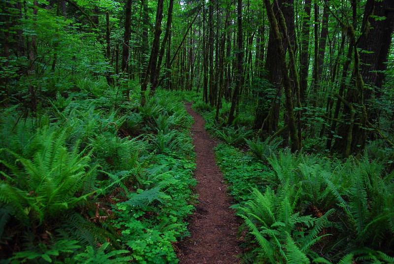
Green!
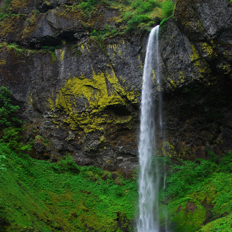
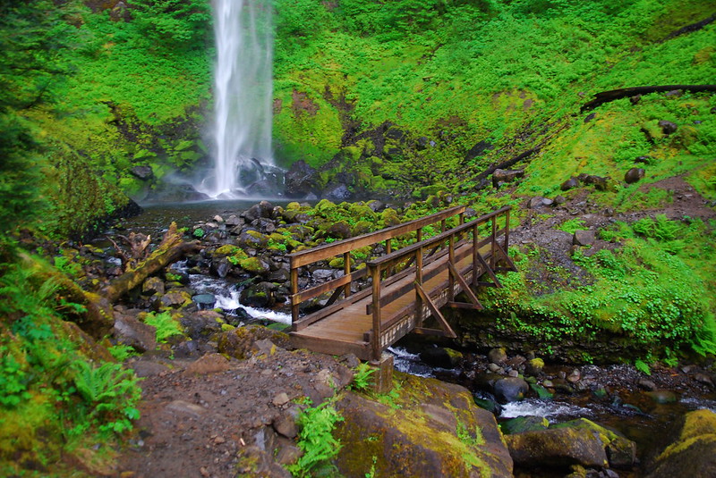
After the 400 junction, I started running into groups of people, presumably on short jaunts to Elowah or McCord Falls, who gave me the usual "Why the big pack?" looks. I'd never seen Elowah Falls before. Pretty! Even if it took two pictures to capture the whole thing:
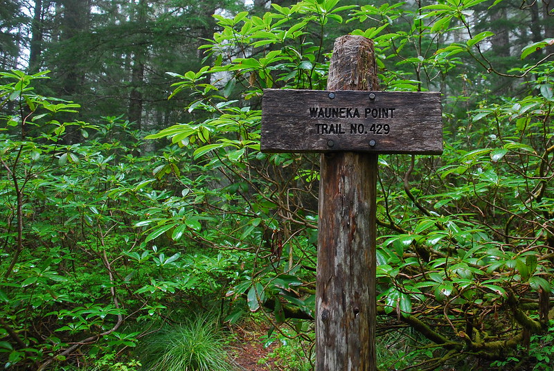
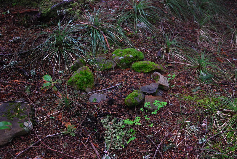
A little later, where the 400 and Old Highway trails merge at the base of Wauneka Point, I took a second lunch break, sitting on the strange, Stonehenge-like arrangements someone's made on the sides of the path. Another hike for a sunnier day:
I ambled back on a combination of the 400 and Old Highway, trying to take the most efficient route. On one of the sections, where the trail's basically a glorified shoulder off I84, there were the most magnificent flowers. Lupine? It looked like lupine, but so full.
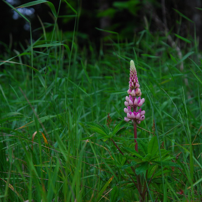
And, sometimes, pink!
I got back to Eagle Creek right around dinner time, and drove back toward Portland and, most germane at that moment, takeout Thai food. What a wonderful day in the woods.