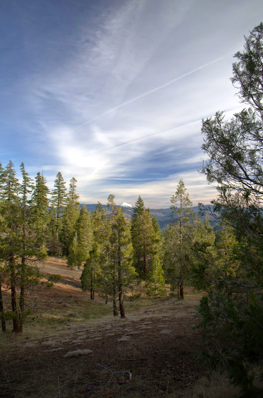
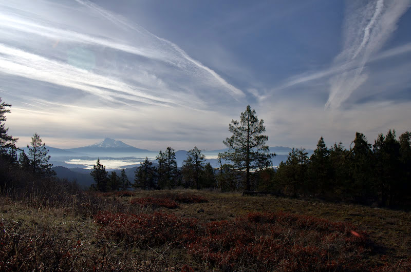
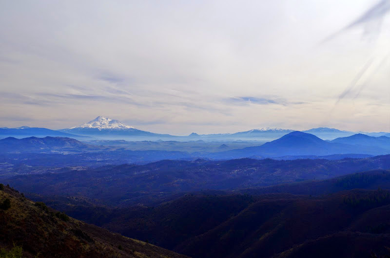
I caught a glimpse of Mt. McLoughlin early on but would spend most of the day on the S side of the range, where Mt. Shasta dominates the horizon.
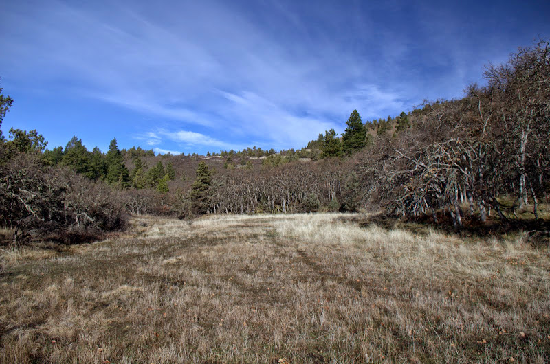
After topping the crest, the trail heads S through some large meadows (still a little early for lots of flowers),
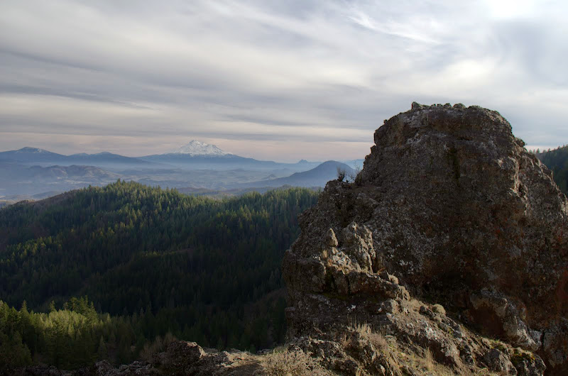
gives you a big view of Shasta (the first of many),
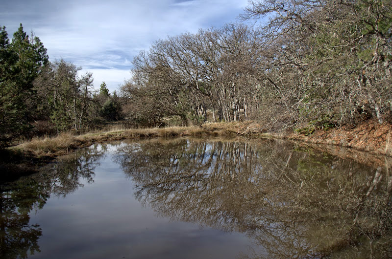
passes an abandoned stock pond that is now frog heaven,
before swinging E around Pilot Rock.
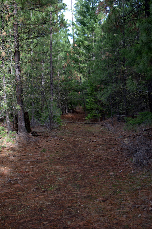
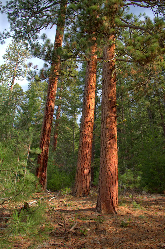
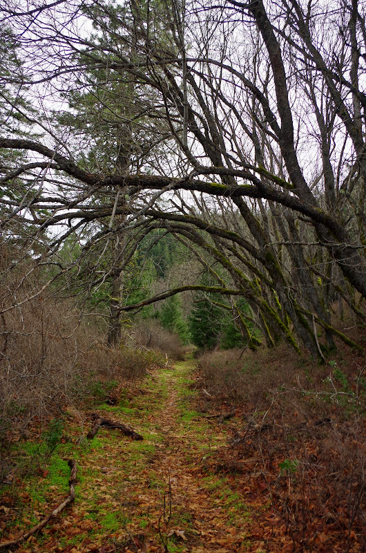
The trail cuts in and out of ravines throughout its length and these ravines harbor microclimates and habitats quite different from the S-facing ridges. After a walk through open meadows, I'd turn a corner and be plunged into a dense Ponderosa forest within a hundred yards. This would provide cool relief if you hiked this in summer.
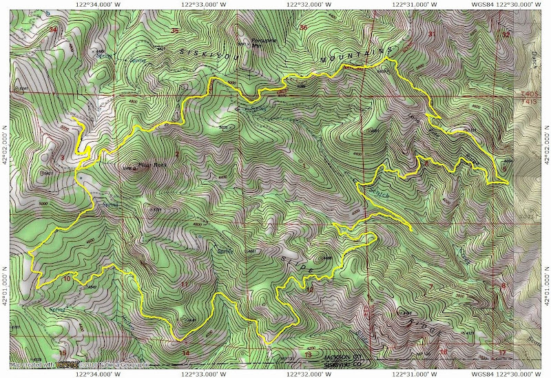
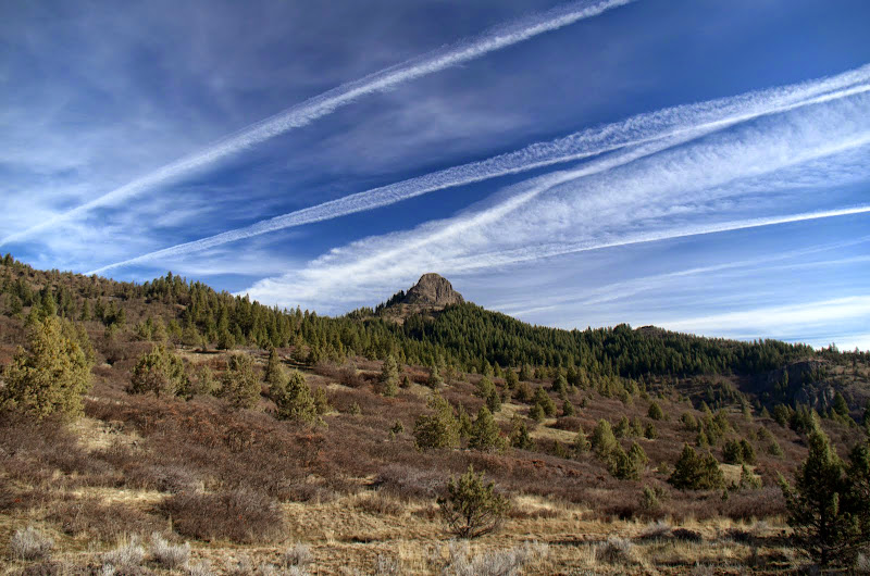
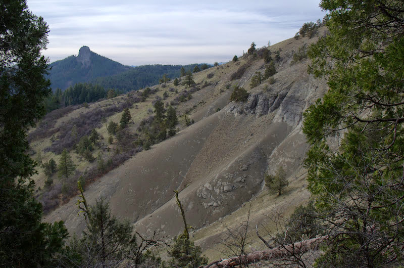
Then the trail would climb out of the ravine and provide big views of my route (arrows),
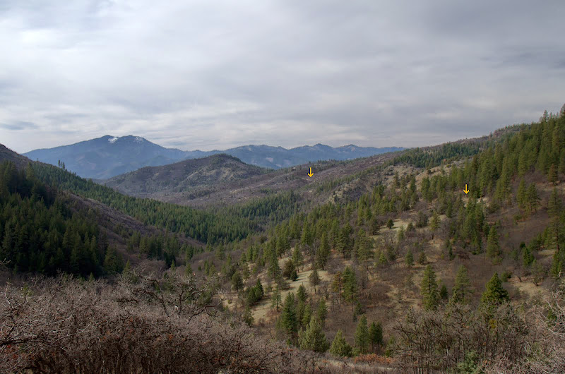
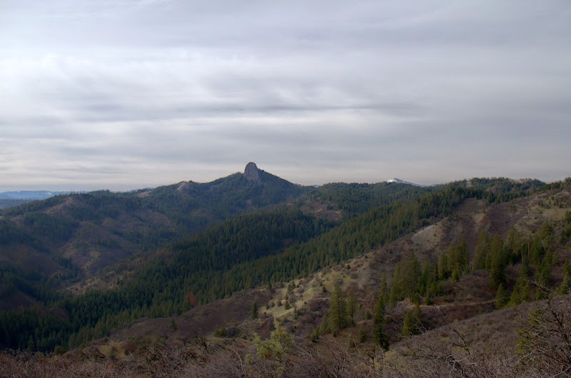
and of the ever present beacon of Pilot Rock.
About 8 mi in, the trail drops to its low point along an unnamed creek, where it looked like the SMC had to do quite a bit of brushing to keep the road/trail open.
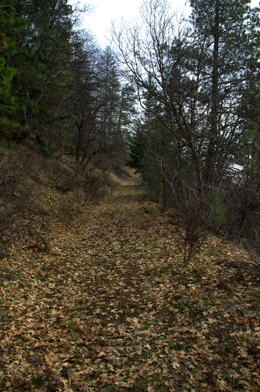
From there, the trail started a long, slow climb up through oak forests,
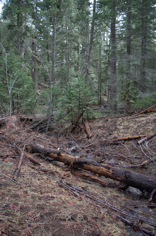
to a crossing of Scotch Creek,
and then on up to a view of snow-covered Mt. Ashland to the N,
and Shasta, Black Butte, and Mt. Eddy to the S.
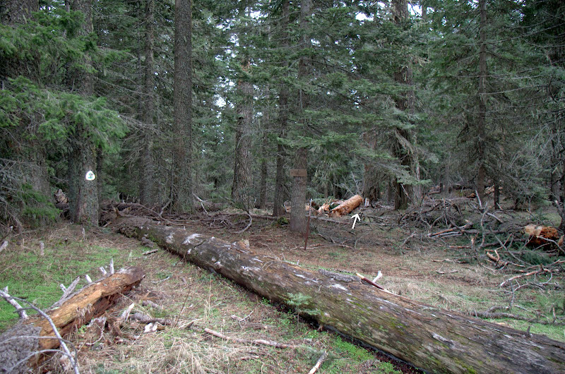
Eventually, I reached the top of Lone Pine Ridge, which I would follow N to the PCT. It's hard to tell here that the trail (arrow) was ever an old road.
The trail along the ridge undulates gently through forests and vistas,

before encountering a steep, loose cliff that forces it to lose elevation and forced me to do a late-in-the-day climb back up to the PCT.
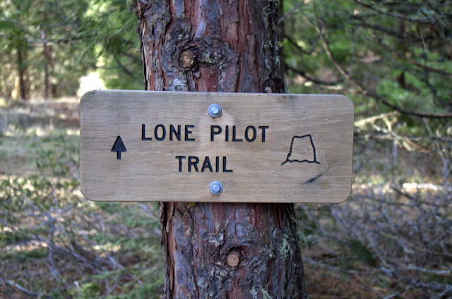
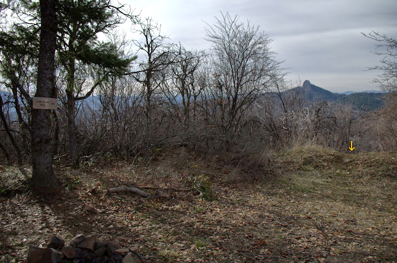
If the SMC hadn't put a nice sign at the Lone Pilot - PCT junction, it would be really hard to tell that the Lone Pilot (arrow) even existed.
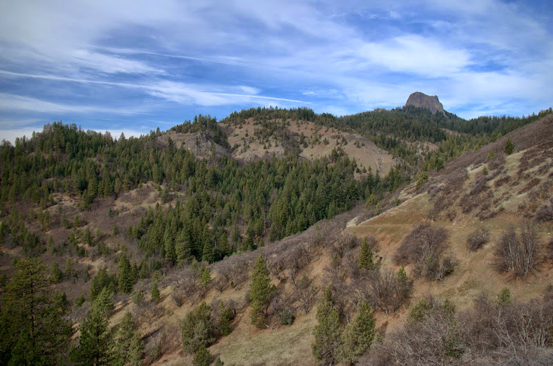
From the junction, I ambled W on the PCT, catching a last view of Shasta,
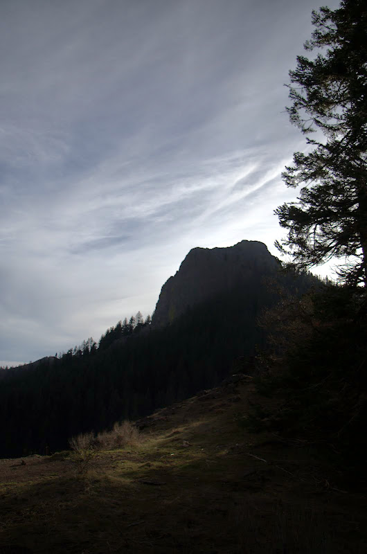
and of Pilot Rock, now loomimgly close,
before getting back to the TH late in the day (but I got a later than usual start).
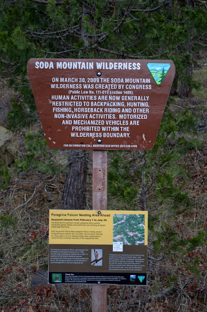
Although long-ish (17 mi RT, 2700' EG) , this hike was never steep (thank the road for that) or hard to follow (thank the SMC for that). It proved to be a great way to experience the inner Soda Mountain Wilderness, with its differing habitats and vistas. There are places to camp and water sources (not sure if all the springs run in the summer), so you could easily make an overnight backpack out of it.