Norway Pass/Soda Peaks Lake and The Dark Divide: 7/27-7/28/

This forum is used to share your experiences out on the trails.
User avatar
Sean Thomas
Posts: 1647
Joined: February 25th, 2012, 11:33 pm

Norway Pass/Soda Peaks Lake and The Dark Divide: 7/27-7/28/

Post by Sean Thomas » July 28th, 2012, 11:32 pm

My gf and I spent the last three days camping near Trapper Creek and the Bourbon Roadless area in sw Washington. We setup camp thursday morning and drove up to the Norway Pass TH north of St. Helens via FR 99 and a quick mile on FR 26 to the TH. In just a couple of miles we were at Norway Pass enjoying the views:


Image


Image


On our way we had lunch with a local:


Image


Image


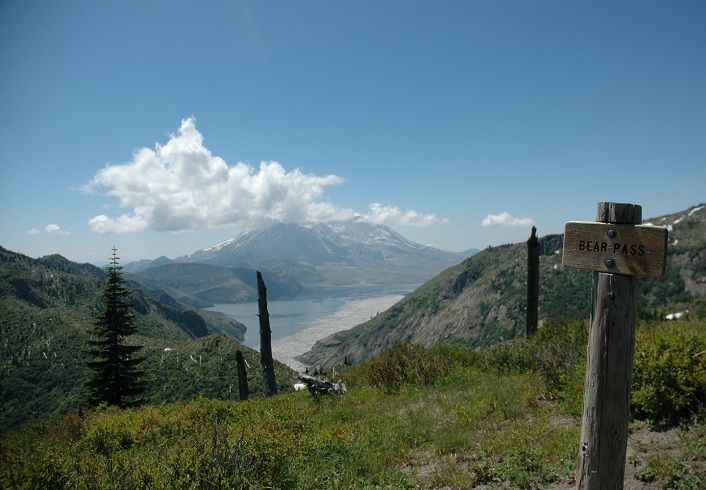
The Independence Pass Trail #227 is closed due to washouts so we headed up to Grizzly Lake instead. Climbing over Bear Pass to get to Grizzly Lake:
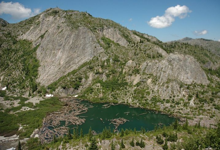
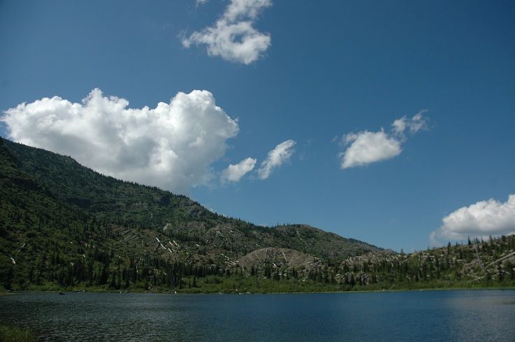

Image


Image


Image


Grizzly Lake:


Image


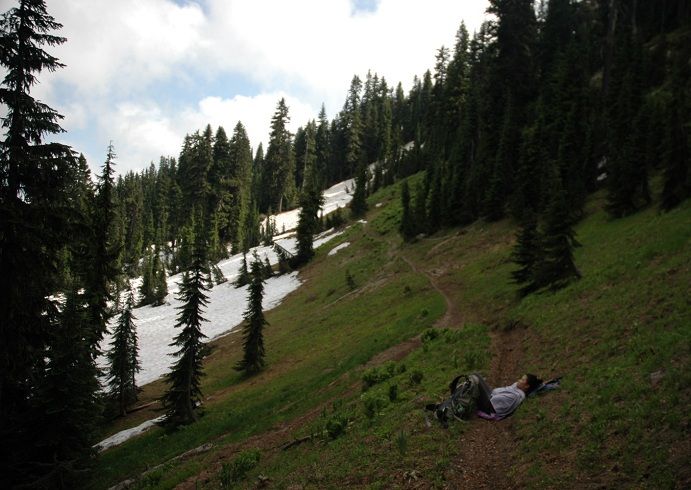
Early on in the hike you get could views of Meta Lake and crazy rd 99:
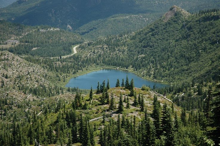
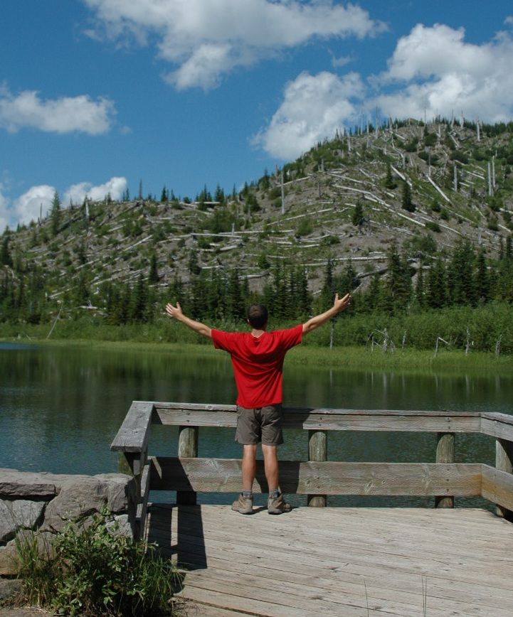
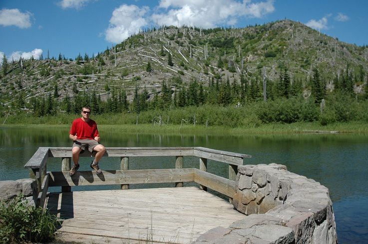
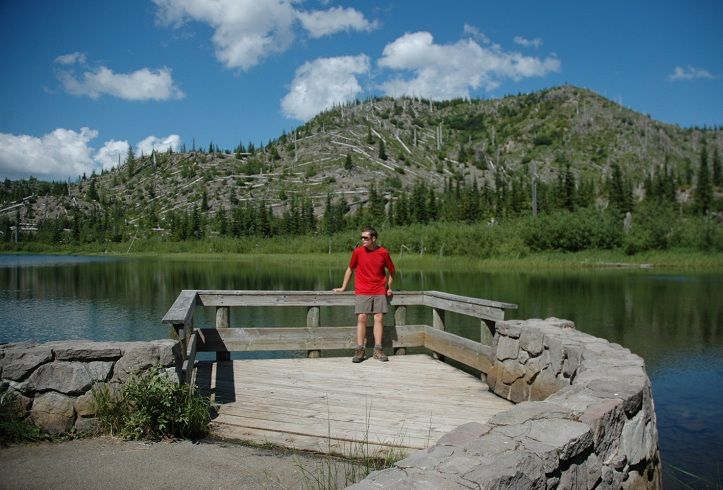

Image


Meta Lake:


Image


Image


Image


We headed back to camp after a sunny day on the trails for some warm food and a good nights sleep in the tent. The next morning we drove up to the Lewis River and Quartz Creek via FR 90 where we turned onto FR 93. From forest rd 93 we turned onto FR 9341 with hopes of making it to the the Snagtooth Mtn Trail Head. We turned onto FR 9341 to reach the Snagtoot Ridge Trail but we were stopped a few miles short with our lack of 4 wheel drive:


Image


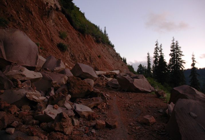
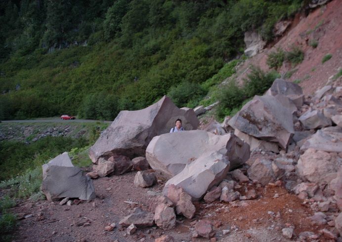
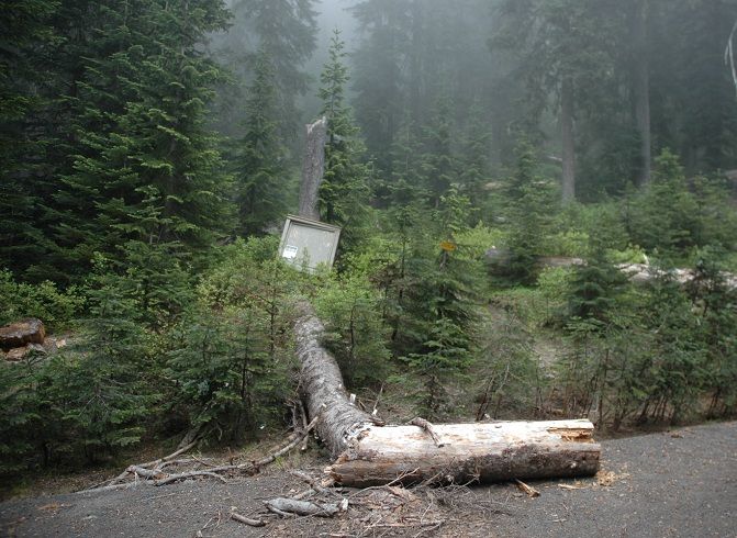
Forest road 9341 is an amazing forest rd, paved but with enough encroaching vegetation to make it interesting. The rockslide pictured above made it a little more interesting then we anticipated but we used that as the new TH instead. This mess may take a while to get cleaned up so for now the Snagtooth TH is about a 2 mile hike on FR 9341:


Image


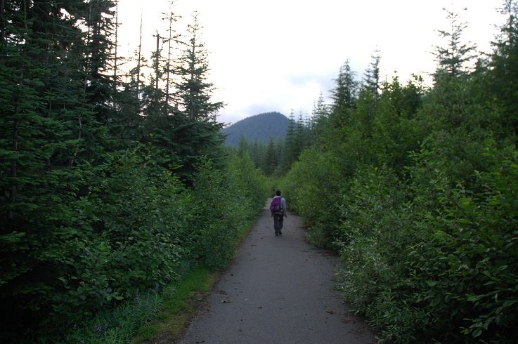
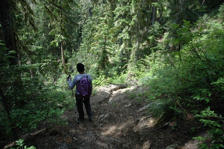
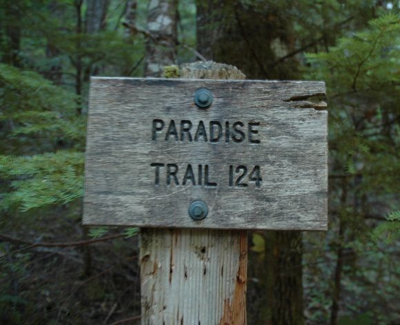
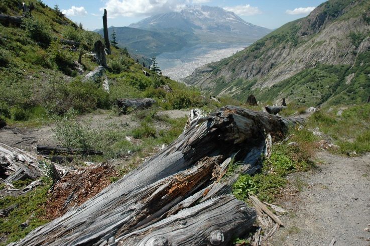
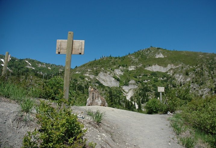
Snagtooth Mtn rests in the Dark Divide and tops out at an elevation of 5443 ft. The Dark Divide is a roadless area in between Mt St Helens and Mt Adams that is home to over 40'000 acres of land off limits to road building. The unique and often deciding factor in terms of its lack of notoriety in the hiking world is it's allowance of motorized vehicles on the trail systems. The trails were originally constructed for hikers/horse traffic and werent built for vehicular use making many of the trails accessible to only the hardiest riders. A wonderland of rocky and exposed 5,000 ft peaks dot the landscape while the area's solitude seems aided by a combination of difficult riding terrain, lack of popularity in the hiking world due to the motor use and the fact that it's so far away from a city center. After an unexpected roadwalk due to the landslide we found the TH on the left side of the rd with it's worn down sign:


Image


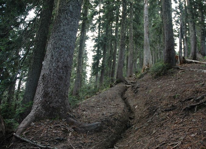
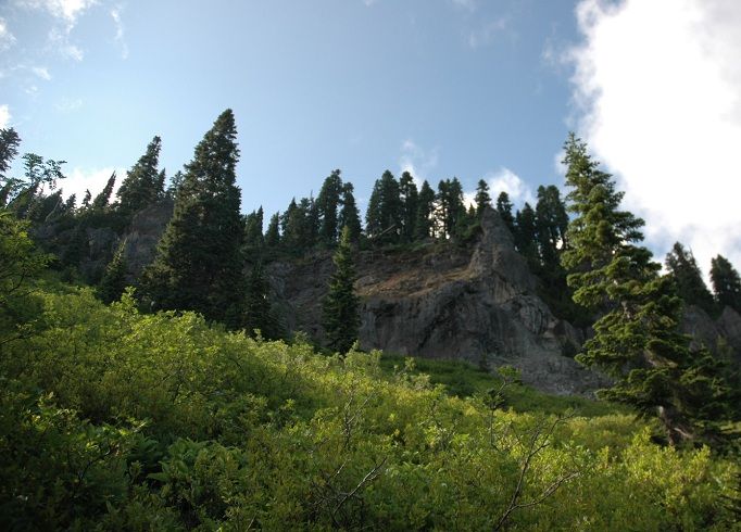
The trails follows Snagtooth Creek for a short while before it heads to the ridge top:


Image


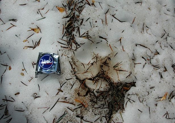
There was still a good amount of snow on the north side of Snagtooth Mtn but a mountain lion had laid tracks almost the entire way(yes the mint suffered an untimely death just seconds after its cameo in the snow)


Image


Image


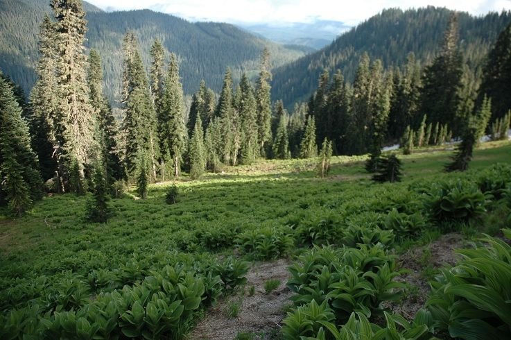
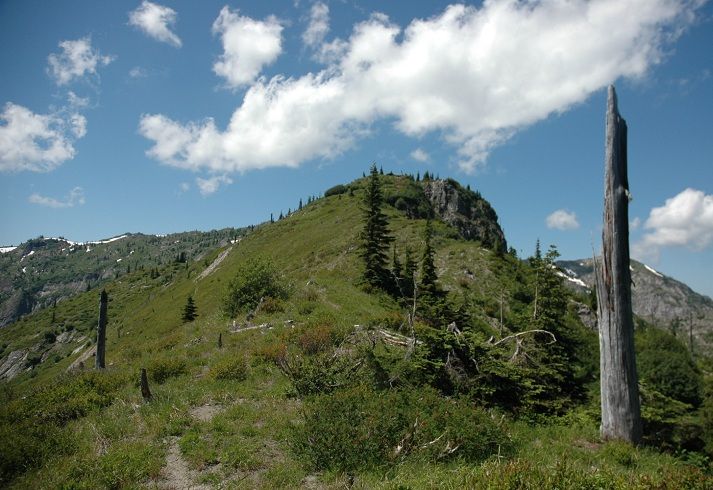
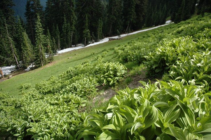
We hit the Boundary Trail #1 after 1.8 miles on the snagtooth trail and headed down to yellow jacket pass. There is a pond at the pass just a few hundred yard off that isnt visible from the trail. A short side trail shows on my trails illustrated map but we couldnt find it. The pond is easy to reach but the trail must be lost. From the pass we headed toward Craggy Peak and some of the best meadows ive ever seen. We spent a few hours admiring the meadows in the afternoon:


Image


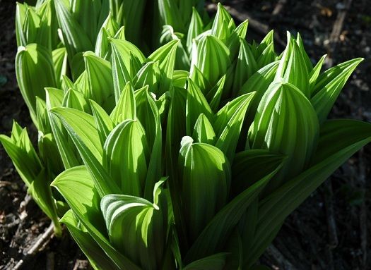
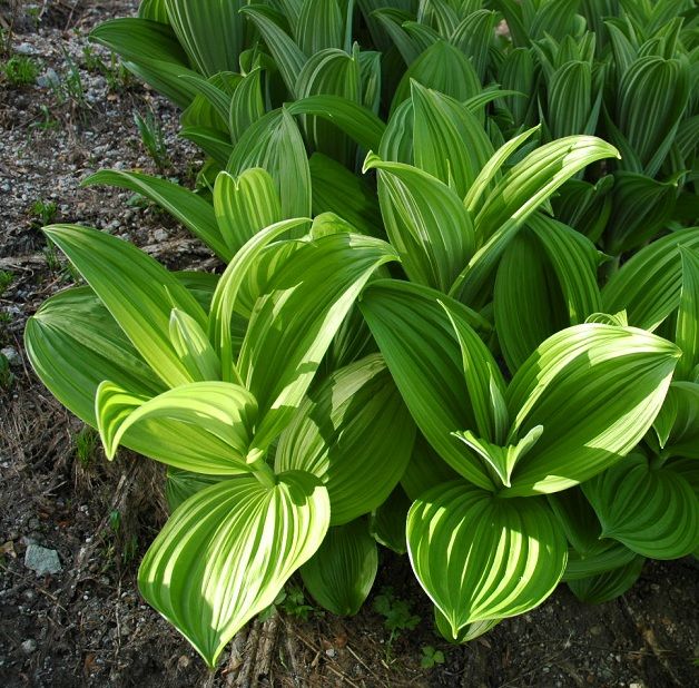
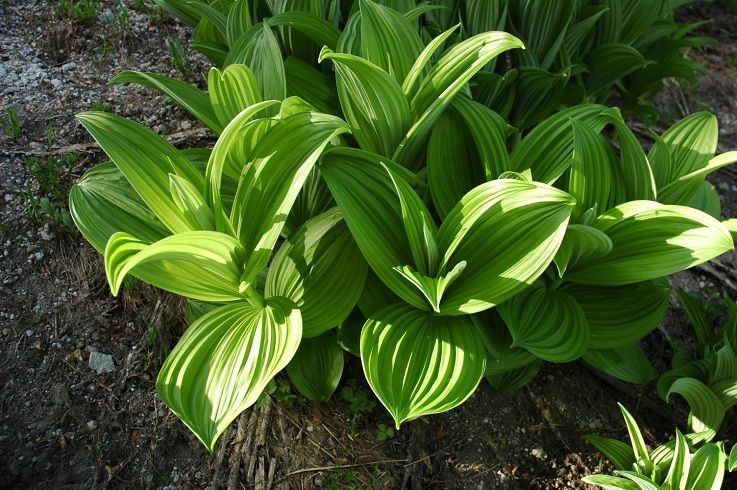
Ive never seen so much False Hellebore in my life:


Image


Image


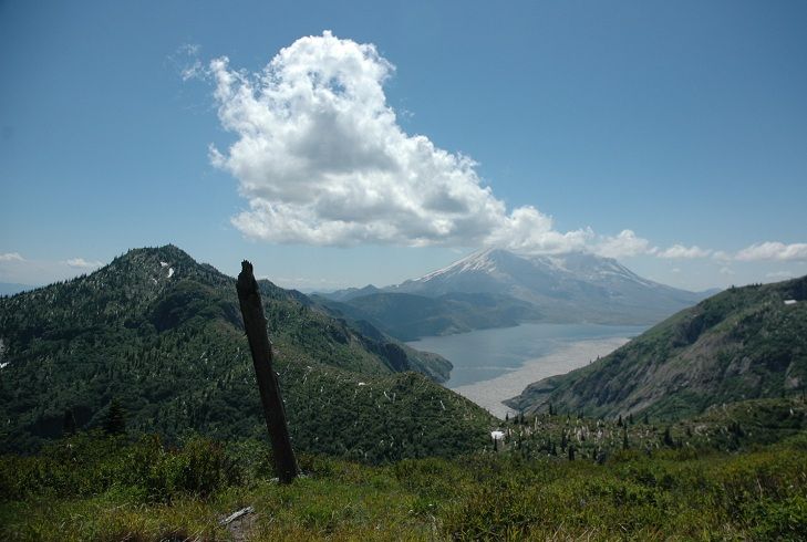
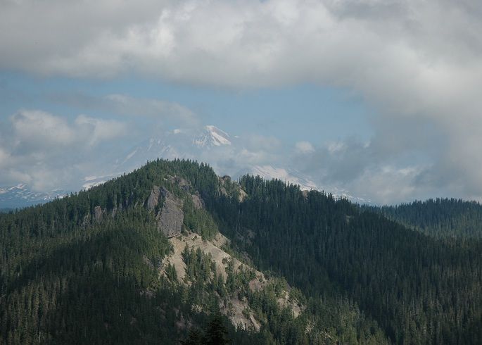
Snagtooth mtn on the right with Hat Rock on the left:


Image


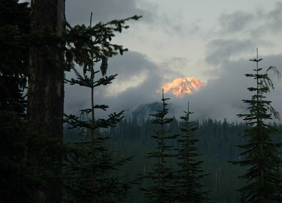
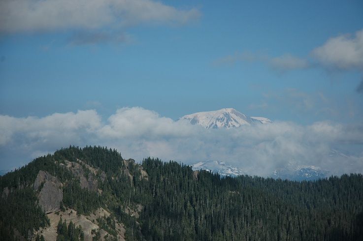
A couple shots of Snagtooth's summit and Adams looming behind:


Image


Image


We had a late lunch under Craggy Peak:


Image


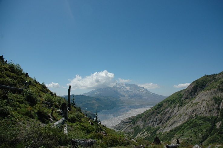
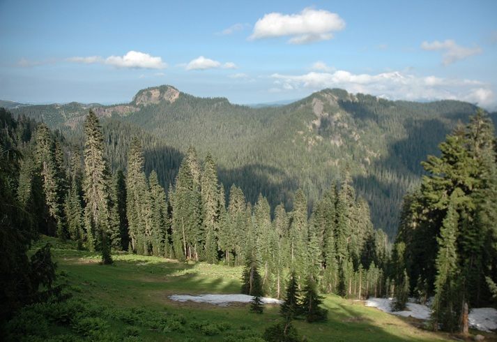
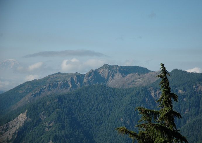
I think this is McCoy Peak, Rainier is on the left hiding in the haze:


Image


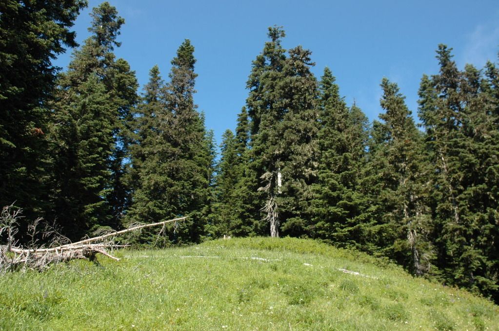
Woke up to sunny skies on Saturday morning after a great fire the night before. Packed everything up and headed for the western Soda Peaks TH off FR 54. We spent the morning in a meadow just below one of the peaks:


Image


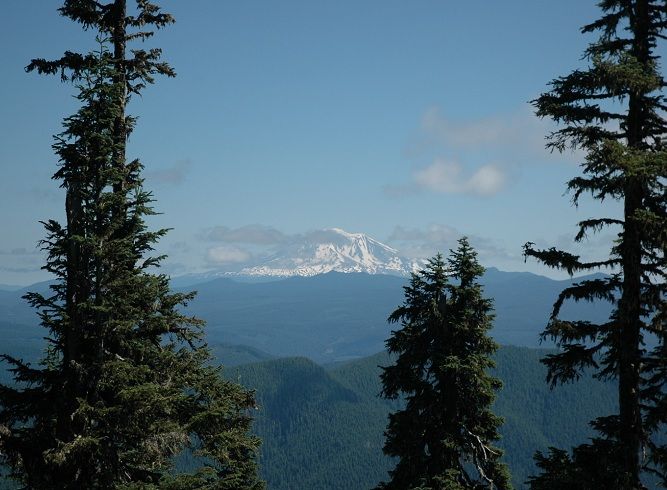
With views of Adams:


Image


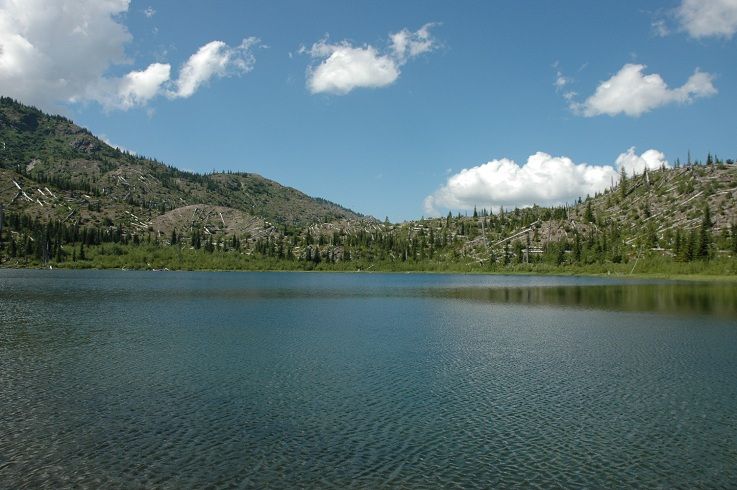
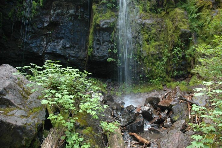
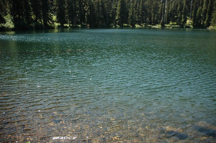
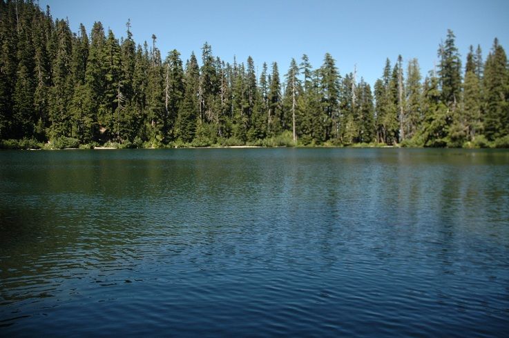
Before long we were enjoying the crystal clear waters of Soda Peaks Lake:


Image


Image


Image


Cant wait to get out again :)

User avatar
retired jerry
Posts: 14426
Joined: May 28th, 2008, 10:03 pm

Re: Norway Pass/Soda Peaks Lake and The Dark Divide: 7/27-7/

Post by retired jerry » July 29th, 2012, 5:23 am

That's a great area, nice pics

User avatar
Peder
Posts: 3401
Joined: May 28th, 2008, 10:02 pm
Location: Lake Oswego

Re: Norway Pass/Soda Peaks Lake and The Dark Divide: 7/27-7/

Post by Peder » July 29th, 2012, 8:24 am

We turned onto FR 9341 to reach the Snagtoot Ridge Trail but we were stopped a few miles short with our lack of 4 wheel drive:
:lol: :lol: :lol: Maybe if you let Jojo drive...

That is a great report! Is there any reason why you send Jojo ahead when you are following cougar tracks?
Some people are really fit at eighty; thankfully I still have many years to get into shape…

User avatar
Chase
Posts: 1265
Joined: May 28th, 2008, 10:03 pm

Re: Norway Pass/Soda Peaks Lake and The Dark Divide: 7/27-7/

Post by Chase » July 29th, 2012, 9:15 am

Peder wrote: :lol: :lol: :lol: Maybe if you let Jojo drive...

That is a great report! Is there any reason why you send Jojo ahead when you are following cougar tracks?
Seriously, great TR!

User avatar
Eric Peterson
Posts: 4097
Joined: May 11th, 2009, 5:39 am
Location: Oregon
Contact:

Re: Norway Pass/Soda Peaks Lake and The Dark Divide: 7/27-7/

Post by Eric Peterson » July 29th, 2012, 9:41 am

You guys are all over the place this year! :)

And are most of the roads paved and or good gravel? Aside from the huge boulders on
one road it all looks doable in your Honda...

User avatar
Crusak
Posts: 3617
Joined: August 6th, 2009, 7:33 pm
Location: Oregon

Re: Norway Pass/Soda Peaks Lake and The Dark Divide: 7/27-7/

Post by Crusak » July 29th, 2012, 9:50 am

Eric Peterson wrote:You guys are all over the place this year! :)
That's almost exactly what I was going to say! *twin telepathy* :)

You two covered a lot of ground on this trip. Nice pics and TR. WOW those boulders on the road were huge! Maybe they'll have to blast them out with dynamite? I don't think they can move them with conventional road equipment.
Jim's Hikes

Solvitur Ambulando

User avatar
Born2BBrad
Posts: 1086
Joined: May 1st, 2011, 7:26 pm
Location: The Dalles

Re: Norway Pass/Soda Peaks Lake and The Dark Divide: 7/27-7/

Post by Born2BBrad » July 30th, 2012, 9:32 am

Where's the thumbs up picture? It's not a complete TR without one of those :lol:
Make now always the most precious time. Now will never come again.
- Jean Luc Picard

Link to GPX tracks
Link to Trip Reports

User avatar
Sean Thomas
Posts: 1647
Joined: February 25th, 2012, 11:33 pm

Re: Norway Pass/Soda Peaks Lake and The Dark Divide: 7/27-7/

Post by Sean Thomas » July 30th, 2012, 10:35 am

Thanks guys, it was a fun trip. I was hoping mcds, tko and a few inclined loonies would come bulldoze the way for us, but no luck :( lol Peder, I was too busy stuffing my face with delicious york patties, I would have been plump and easy prey!

EP - you are exactly right :) Road 99(windy ridge) and rd 26(up to norway pass/beyond) are paved along with rd 93 and 9341. 93 has some short on and off gravel sections but its never too bad. Forest rd 54 up to Soda Peaks Lake is paved as well. Forest rd 90 has a rough gravel patch of road thats about 1/2 mile long with some very short/steep up and downs. It was just before 90 reaches the Lower Lewis River Falls I think but it was doable in the Honda. They patched it with some extra gravel so it was much easier going than last month when we were up there. Here is a pic of rd 9341, much like rd 26 north of St Helens it is paved but horribly overgrown making visibilty around corners virtually nill:


Image


Peaking Adams nearing sunset from 9341:


Image


Some more hellebore pics:


Image


Image


Image


These shots illustrate the trail damage caused by motorized users in the dark divide, the reroutes some of these riders took to avoid downed logs etc were insane and must have required some serious skill. The second shot is where the trail used to be but the rut is about 3 ft deep making it impossible to walk or ride that section. We didnt see or hear a motor bike all day or anyone else for that matter:


Image


Image


The Washington Trails Association would like to see the dark divide become a designated wilderness area. Ira Spring wished the area to be called the "Shark Rock Wilderness" but that was a long time ago, im not sure where things are now in terms of this area gaining wilderness designation. I could be wrong but the trails were pretty well maintained and it looked to be the work of the dirt bikers. So if they are sent packing and the area becomes wilderness should we worry that these trails would fade away due to lack of care or would WTA take over those duties if they already havent? I know the area is managed by the Mt St Helens Monument, would it still be if it were wilderness? Motorized riders cant make it over large downed logs etc meaning most if not all of the downed logs on the trails we hiked were clear, logged out and easy to follow. Will it stay that way if the riders arent allowed? I dont know, im curious what other more knowledgeable folks think about the subject.

Another interesting thing is this website which shows every roadless area in the United States, it lists the Dark Divide as being about 41,000 acres of land off limits to road building. Wikipedia, WTA and most other sources list the dark divide as being about 75,000 acres. So im a little fuzzy on that one too.


Here is a link to the cool roadless area website:


http://roadlessland.org/imap_create.php ... ate=WA&o=3


In other news, I checked out the other end of the Paradise Trail off dry creek rd near the Trapper Creek Wilderness. The trail is well signed and easy to find. I only hiked about 1/4 mile of it but it seemed to be in ok shape, just not very well known:


Image


:lol: :D Brad, I thought this was going to have to do:


Image


But then I checked the photos again and bammola:


Image

justpeachy
Posts: 3069
Joined: May 28th, 2008, 10:03 pm
Location: Portland, OR
Contact:

Re: Norway Pass/Soda Peaks Lake and The Dark Divide: 7/27-7/

Post by justpeachy » July 31st, 2012, 10:39 am

Sean Thomas wrote:The Washington Trails Association would like to see the dark divide become a designated wilderness area. Ira Spring wished the area to be called the "Shark Rock Wilderness" but that was a long time ago, im not sure where things are now in terms of this area gaining wilderness designation. I could be wrong but the trails were pretty well maintained and it looked to be the work of the dirt bikers. So if they are sent packing and the area becomes wilderness should we worry that these trails would fade away due to lack of care or would WTA take over those duties if they already havent? I know the area is managed by the Mt St Helens Monument, would it still be if it were wilderness? Motorized riders cant make it over large downed logs etc meaning most if not all of the downed logs on the trails we hiked were clear, logged out and easy to follow. Will it stay that way if the riders arent allowed? I dont know, im curious what other more knowledgeable folks think about the subject.
Yeah, it's a bit of a catch-22. Reminds me of the Fish Creek area. The road was decommissioned in the late 90s after the big 1996 flood, but you can still hike up the old road. The only reason that's still possible, though, is because the off-road crowd uses that old road too.

User avatar
drm
Posts: 6154
Joined: May 28th, 2008, 10:03 pm
Location: The Dalles, OR
Contact:

Re: Norway Pass/Soda Peaks Lake and The Dark Divide: 7/27-7/

Post by drm » August 1st, 2012, 8:37 am

Besides the remoteness and motorized use, hikers are dissuaded by the reputation of the area for poor trail maintenance. This might emphasize the point you make that the the non-motorized trails don't get that attention. The WTA has only so much resources. It now has a multi-year effort to save the Quartz Creek trail in that area, but I think they had to get a grant to get the resources for that kind of multi-year effort. So it's probably true that some of these trails would get lost anyway to hikers if made a wilderness. Otoh, if it brought a lot more hiker attention and visitation, it might also bring more maintenance resources. Given the views and historic quality, the Boundary Trail would probably get a lot of hikers.

Post Reply