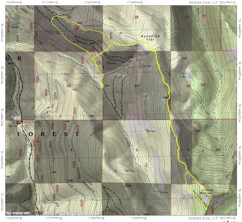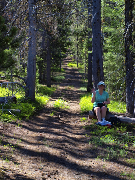
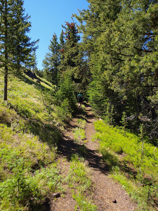
The "trail" just follows the ridge S to the peak. Further along, it does pass through some nice meadows, all of which were filled with many different kinds of flowers.
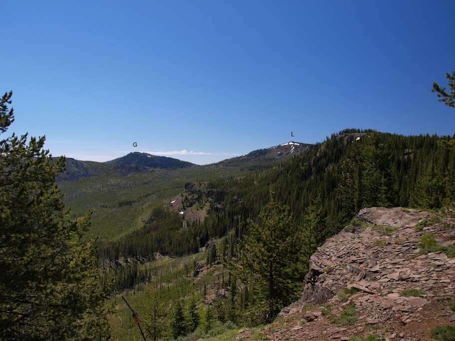
There are occasional views along the trail, here looking S toward Glacier Mtn (G) and our goal, Lookout Mtn (L).
Eventually we intersected what used to be called the Rail Creek Trail (but still ATV tracks) and followed that to a road/trail junction just S of Lookout's summit. Names of trails seem to need to taken with a grain of caution in this area - the only thing on this sign that seemed to be accurate or matched the various maps we had was "Sunshine Flat Trail."

As we made the final 0.2 mi to the summit, the views opened up.
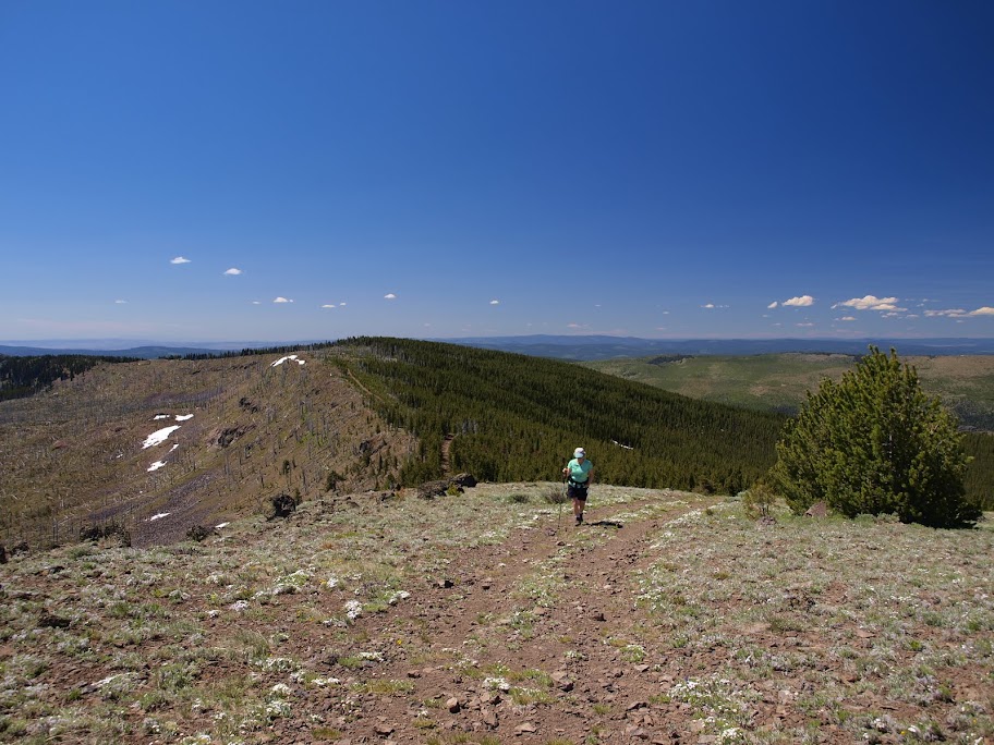
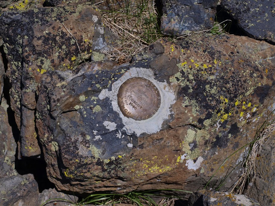
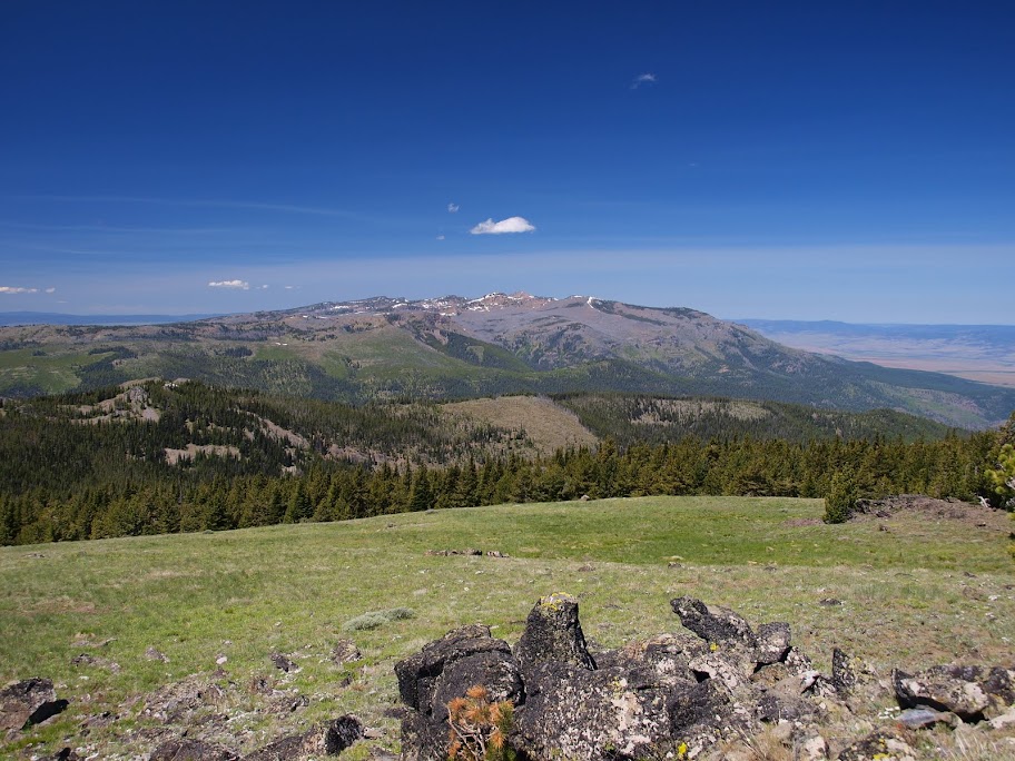
From the summit,
we could see much of the upper John Day River valley, Prairie City, and the the E side of the Strawberry Mountain complex.
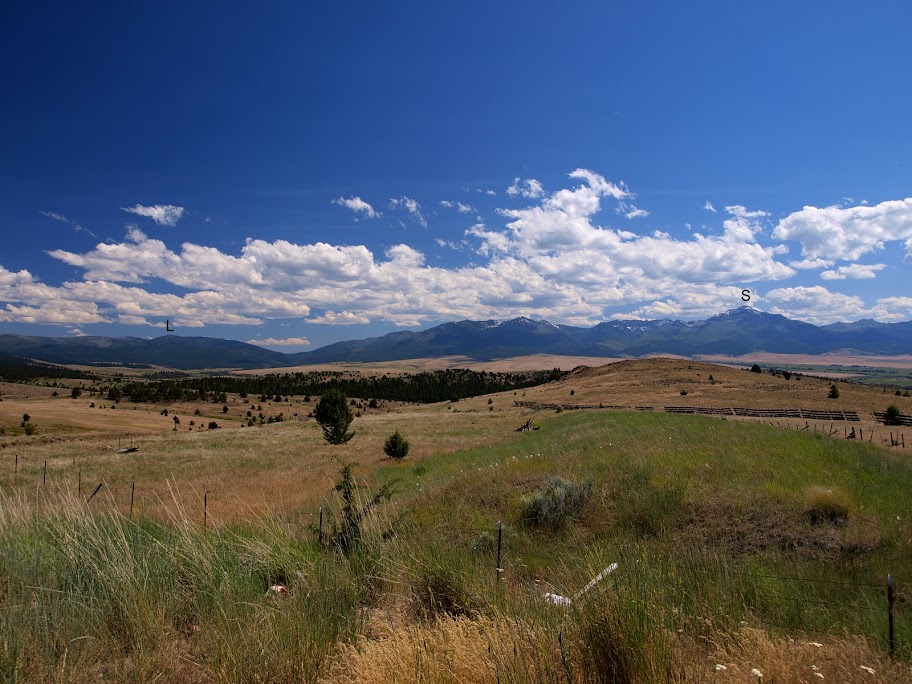
There were an amazing variety of flying - but fortunately non-biting - bugs on the summit, so after a quick lunch, we headed back. For variety, we followed the ridge line itself for awhile and, when we got lower down, descended directly downslope to intersect the road. We could do this because the forest here is like a park - a canopy of trees with only grasses for undergrowth. On our way over to Baker City, we could look back and see Lookout (L) and Strawberry (S) filling the horizon.
Despite the ATV tracks for a trail, this was a pretty good hike given the park-like forest, the flowering meadows, and the expansive views. All told, 10.3 mi RT, 2500' EG.