After reading about Pablo's recent exploration, I was curious to try out this direct way to the Relaxation Place of Lucifer (a.ka. Devil's Rest). Barranco is Spanish for gully. Since others on the site have decided to name places he has reported about that have previously been unreported (i.e. "Lago de Pablo," "Pablo's Ridge," and "Pablo's Public Path"), I thought I would follow the tradition (much to his chagrin).
Got off work early enough Sunday to consider a small Gorge excursion, with the aid of the time change. This would be my opportunity to try Barranco de Pablo. Decided to make a loop using two different trailheads by utilizing the bike 'n hike. Parked at Angels Rest TH, biked the three or so miles to Wahkeena TH and locked up there. Being a nice Sunday afternoon, there were throngs at both places. However, I was only on the paved Wahkeena trail until the first switchback. Traversing out of sight and on up the slope commenced, which led me to this balloon (apologies for all the backlit photos as it was late afternoon).
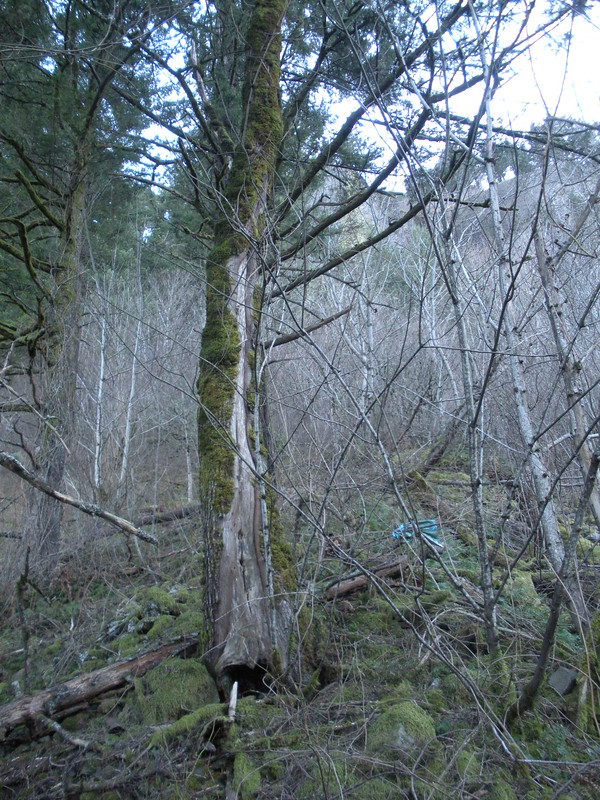
It's nice things are only beginning to leaf out as it made some of the schwacking easier.
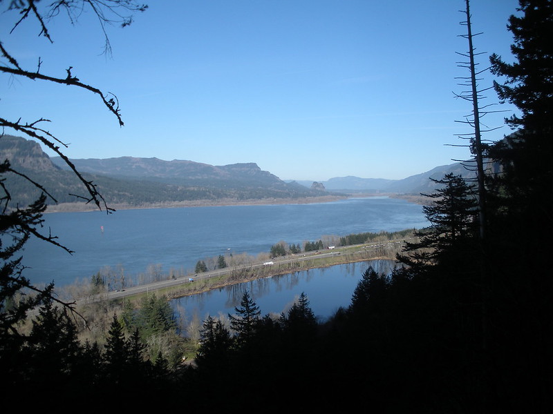
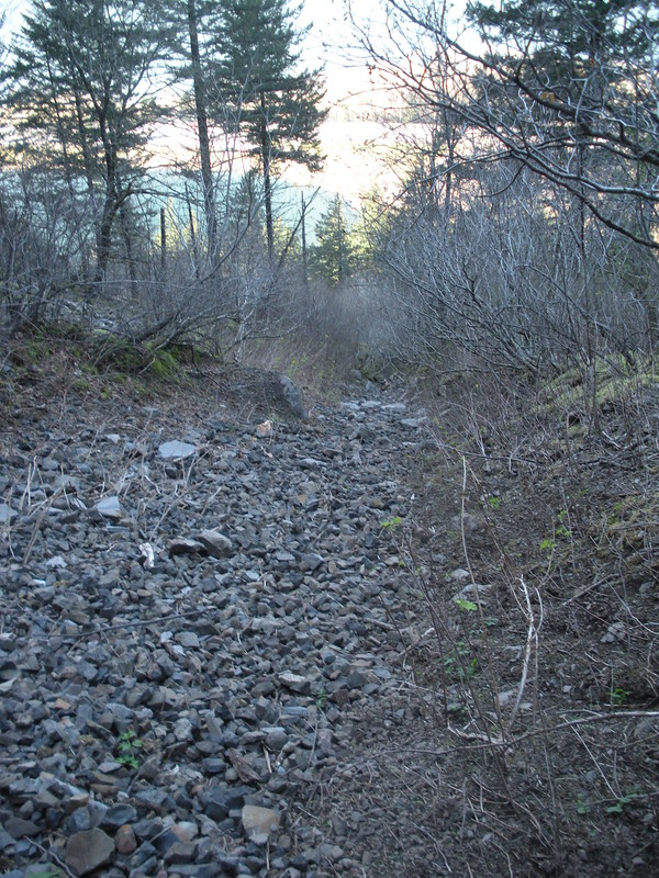
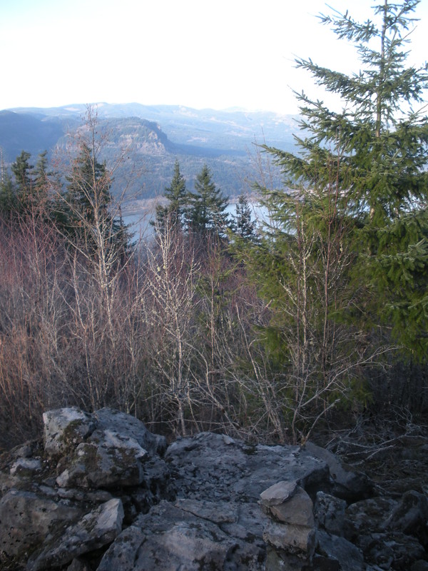
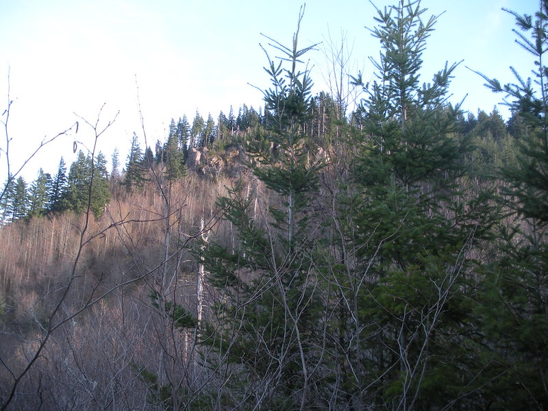
Already a nice view a mere several hundred feet up in the open talus section.
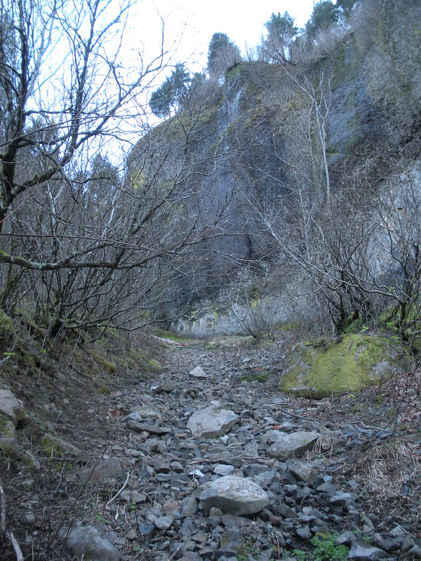
My aim was a noticeable notch in the cliff with a chute running far below the cliffs. I traversed to the chute close to the aforementioned talus field.
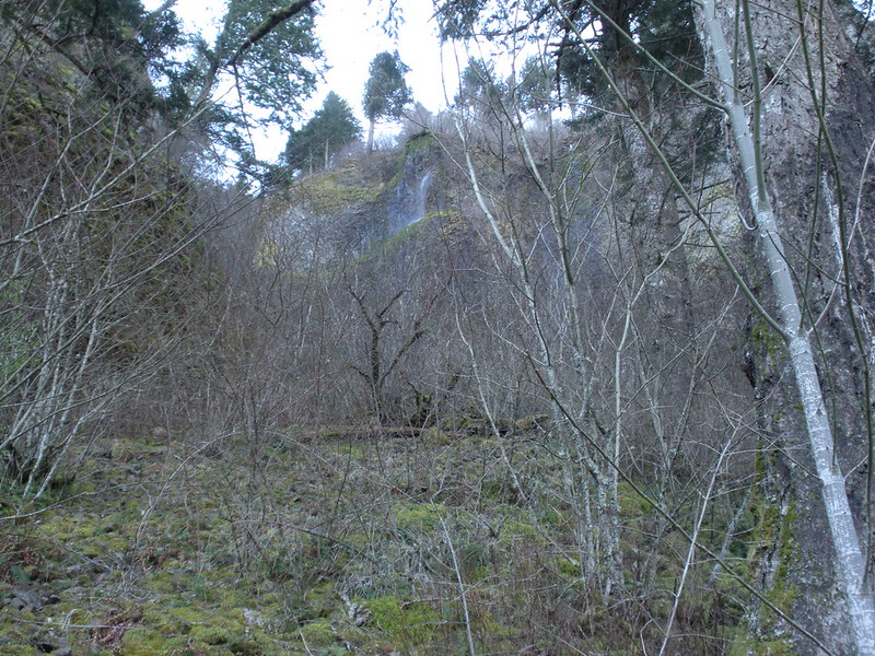
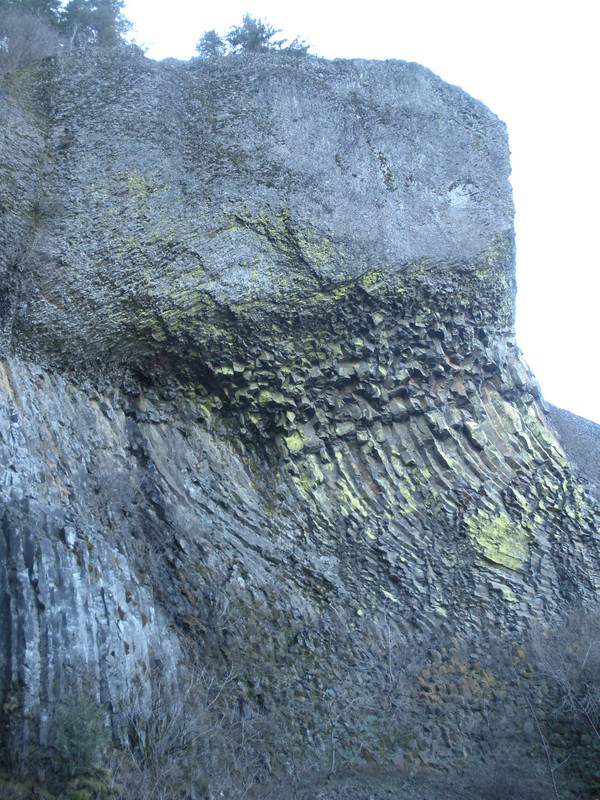
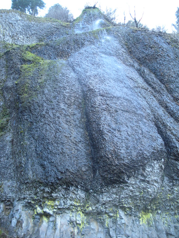
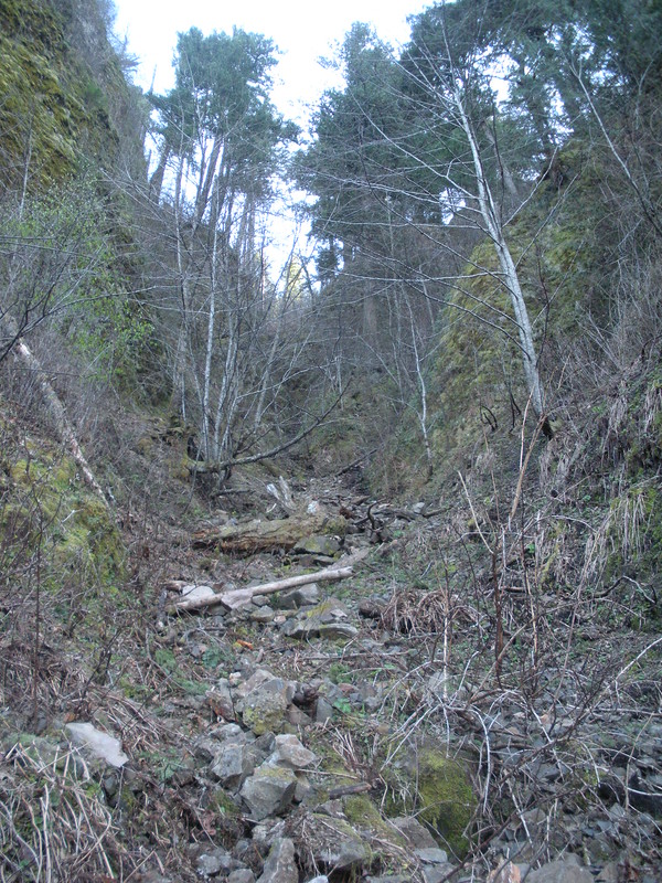
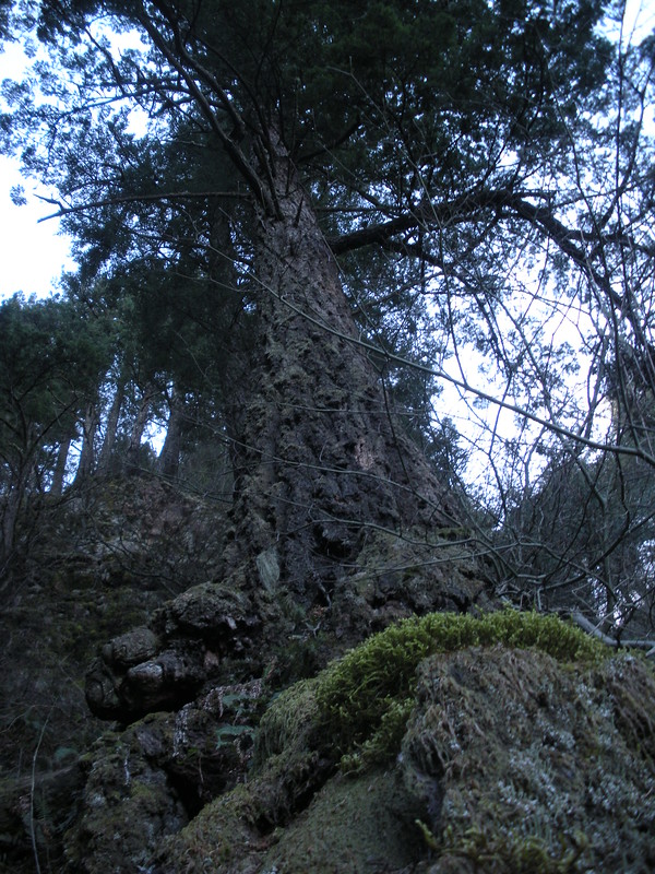
As I approached the amphitheater where the gully resided between Wahkeena and Mist Falls, I was impressed with how dramatic it was; interesting columnar basalt.
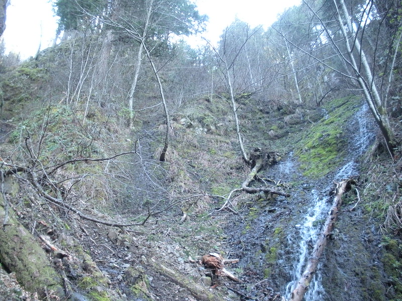
Nice sized side waterfall.
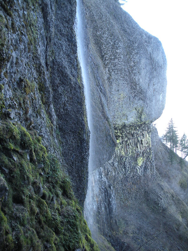
The waterfall goes in between and to the right of the "cheeks."
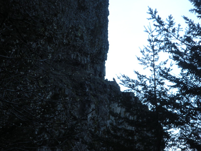
Peregrine Falcon!
Looking down the gully.
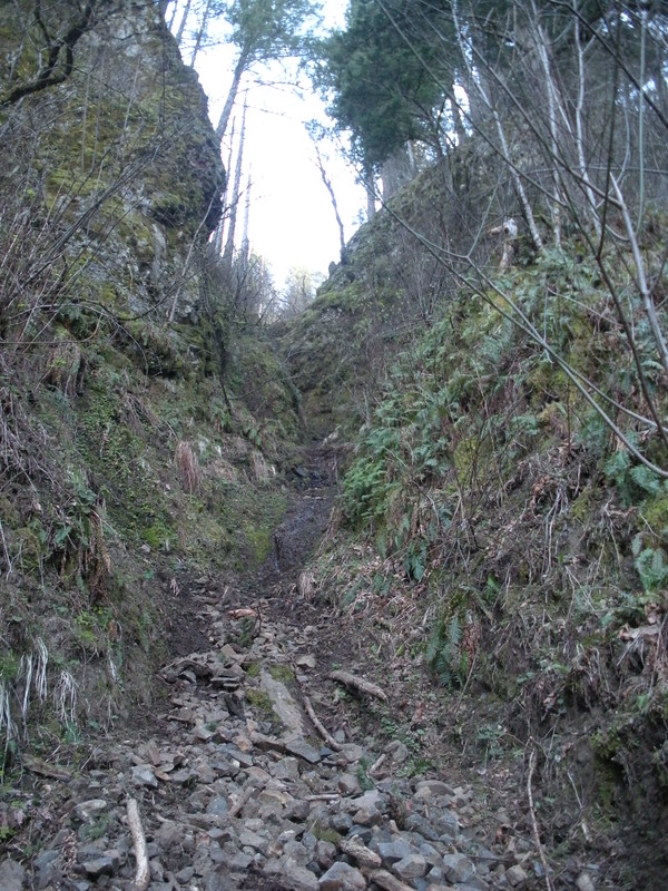
Further up the gully.
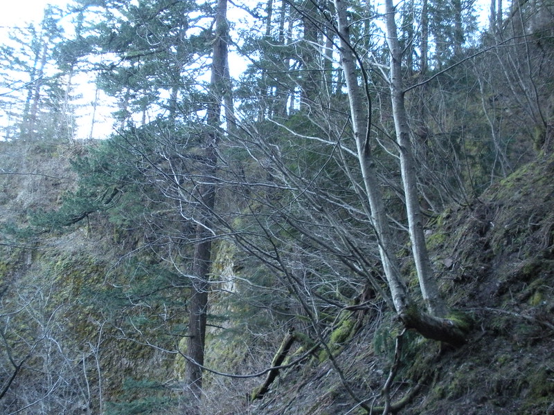
Approaching this section, the only minimally feasible way to go is on the ridglet to the left. The rest is too bare or too slick unless you have an ax or a deathwish (I had neither, but the latter is probably debatable to some on this forum).
Moving further up, this is the beginning of the ridgelet.
At this point, I wasn't even sure I was in the correct gully or if this would go without technicalities. Pretty steep with some exposure. The key was always having something to hold onto.
Once I traversed over and dropped down to the right of this U-shaped tree, I recognized it from Pablo's report (it has a large chunk taken out of it by a rock that resembles a blaze but the "blaze" faces uphill). From here, I knew it would go!
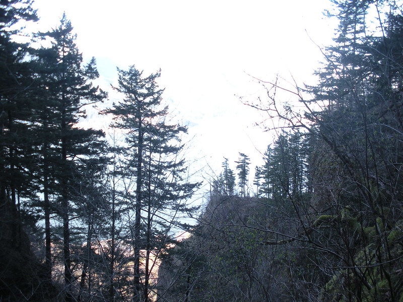
A little more scrambling on steep but less exposed terrain and I topped out of the gully. There are a couple minor ridge spurs that jut out over the cliffs, offering good views.
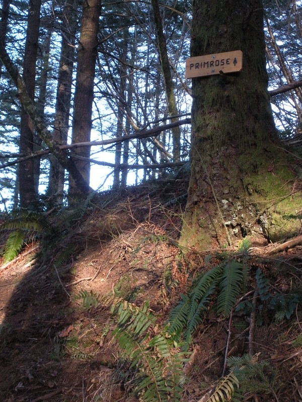
I schwacked uphill a couple hundred more feet and hit the switchbacks of the trail from between Wakneena and Angels Rest. I continued up to the Primrose Path junction and took it toward Devils Rest. Having not been on the Primrose in a few years, I had noticed how much additional traffic the trail had seen. Very easy to follow the entire way. The always good view in the open area before the old logging road.
Around here was where I saw one of my best Pileated Woodpecker sightings ever. The female bird was so close I could make out the rings around her eyes. She was disturbed by my presence and we leap frogged our way up the trail for a couple hundred yards with her almost always being within sight and sound. I heard her mate up the hill a ways before losing them both for good at this spot with the nice rock outcrops above the burn.
I'm pleased to say the only sign for the Primrose is this one at the old logging road before the steep climb. The ones at Devils Rest and on the Angels Rest Trail are gone. Good riddance.
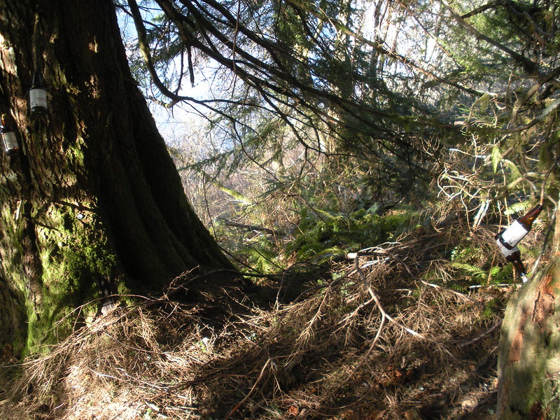
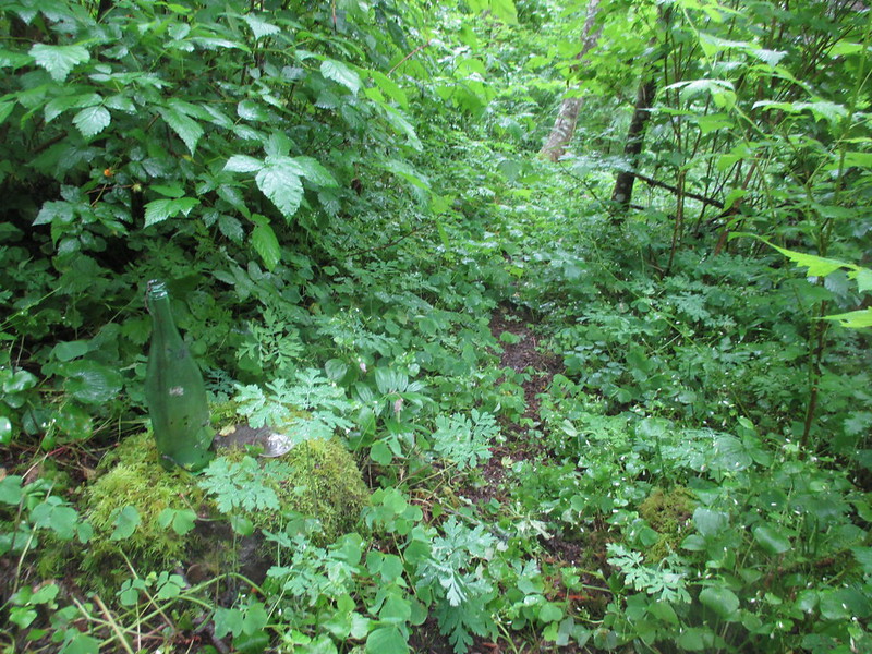
Stupid beer bottle detritus display at a resting spot on the steep part of the Primrose. Why?! If I had room I would have packed it all out, but it's still all there for someone else.
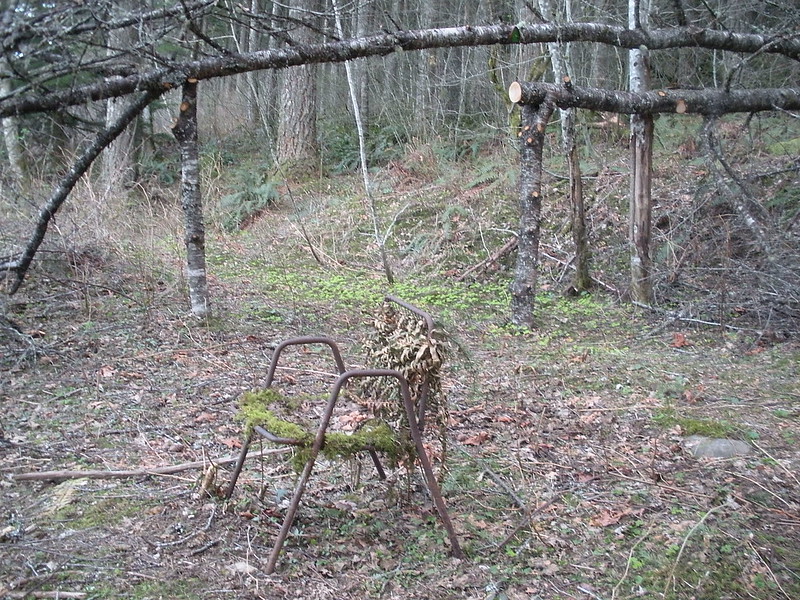
When I reached Devils Rest I only spent a few minutes in the quiet tranquility of the spot before dashing down the Foxglove. Light was getting long and I only had a short time to complete the loop how I wanted to. Before reaching the junction with the Upper Foxglove, I veered left onto an old logging road that wraps around the Coopey Creek drainage on the northeast end of the Bridalveil Plateau. The woods were very dark as I made my way just below the rim of the plateau on a combination of an old flagged logging road quickly being taken over by trees and going cross country to avoid some of the ups and downs of the road. Passed the '76 Datsun around the creek crossing. Within 45 minutes of leaving Devils Rest, I made it to Wine Bottle Junction.
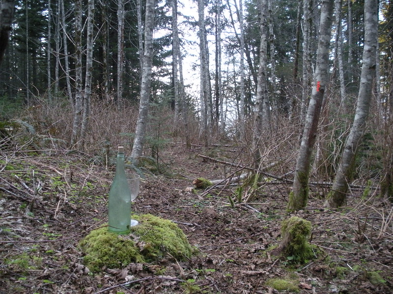
Compare the same junction to last June when Aircooled went there!
In a few minutes I descended to the "Throne."
It was just before sunset and I made my targeted time to this point. From here, I descended the Coopey Creek Trail where I was treated to a nice glow of the setting sun on Angels Rest.
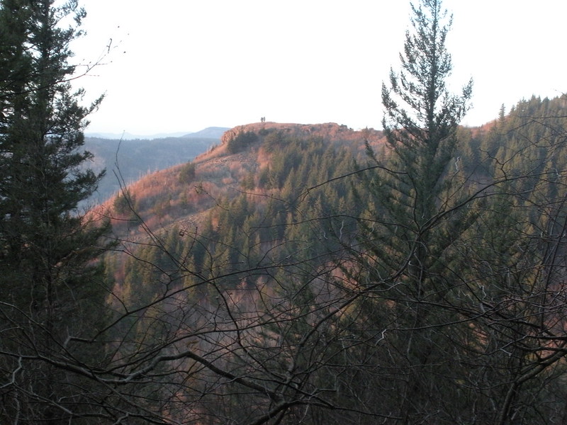
Looking west to "Pablo's Ridge."
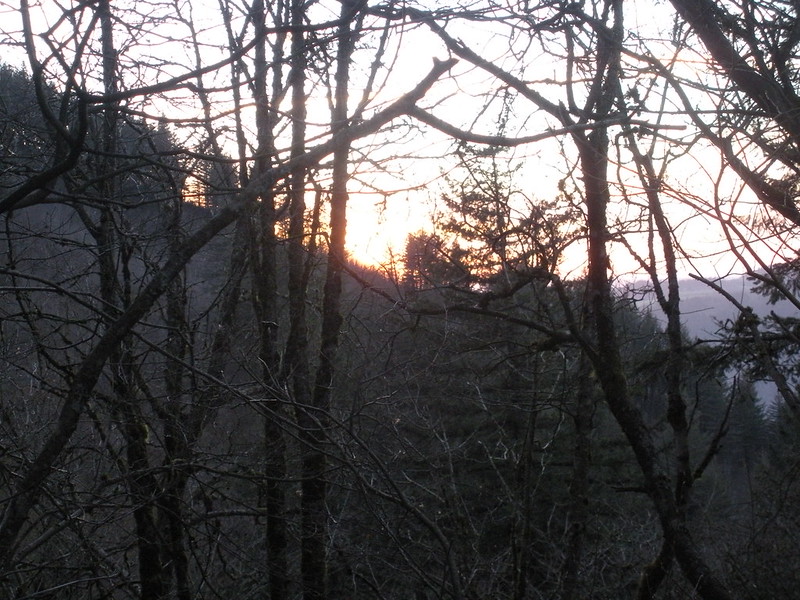
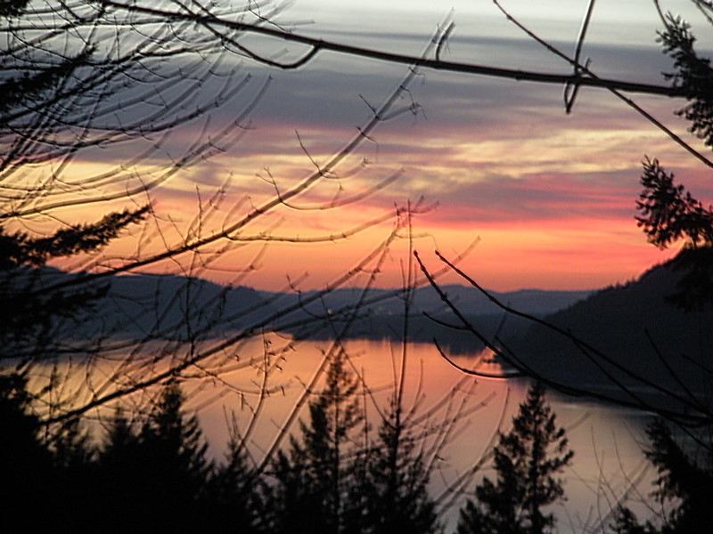
An semi-open spot provided my best view if the sunset.
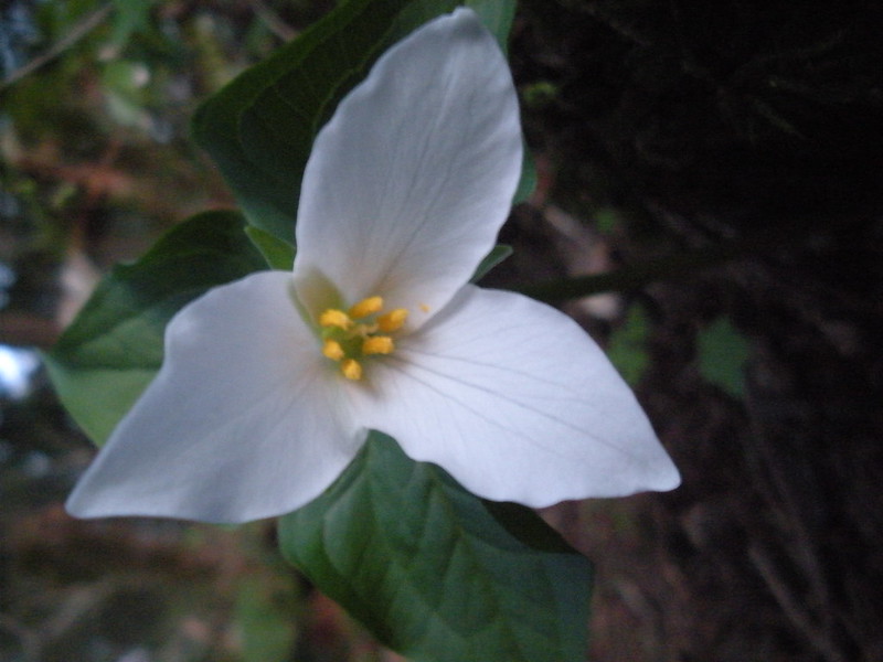
Near the crossing of the west fork of Coopey Creek were some very nice stands of trillium.
I hit the main Angels Rest Trail at Coopey Falls and was back to the trailhead before needing a headlamp. Unsurprisingly, the only people I saw were on this stretch and the initial portion of Wahkeena Trail. What a good idea for a nice spring day when I only had a few hours for an adventure!
Around 6 miles and 2750 ft EG.
"Barranco de Pablo" to Relaxation Place of Lucifer 3/8/15
- acorn woodpecker
- Posts: 240
- Joined: January 4th, 2013, 8:35 pm
"Barranco de Pablo" to Relaxation Place of Lucifer 3/8/15
Last edited by acorn woodpecker on March 13th, 2015, 2:46 pm, edited 2 times in total.
Re: "Barranco de Pablo" to Relaxation Place of Lucifer 3/8/1
Neato. I'll bet there are plenty of other gullies over there yet to be explored. Seems like winter before leafout is the time to be up there. Your Wine Bottle Jct comparison is crazy!
I like "barranco." Maybe all the new OT routes should be named in Spanish.
acorn woodpecker wrote:The rest is too bare or too slick unless you have an ax or a deathwish (I had neither, but the latter is probably debatable to some on this forum).
#pnw #bestlife #bitingflies #favoriteyellowcap #neverdispleased
Re: "Barranco de Pablo" to Relaxation Place of Lucifer 3/8/1
What a nice bike 'n hike with a route providing solitude in an area generally very busy. What did you lock your bike to - is there a bike staple at Wahkeena?
You really captured the feel of that gully in the photos and your approach to the ridgelet was the same as I did - I don't think there are many choices. "The cheeks", ha!
--Paul
You really captured the feel of that gully in the photos and your approach to the ridgelet was the same as I did - I don't think there are many choices. "The cheeks", ha!
--Paul
The future's uncertain and the end is always near.
Re: "Barranco de Pablo" to Relaxation Place of Lucifer 3/8/1
Great TR! Love the comparison photo from last June. Is the tree with the flagging on it (right of trail) just gone? Hard to tell on my phone.
Re: "Barranco de Pablo" to Relaxation Place of Lucifer 3/8/1
Coopey Creek Trail? It branches off of the Angel's Rest Trail near the falls? I always thought that was just a short boot path stub. It really goes somewhere?
Believe it or not, I barely ever ride a mountain bike.
- Eric Peterson
- Posts: 4097
- Joined: May 11th, 2009, 5:39 am
- Location: Oregon
- Contact:
Re: "Barranco de Pablo" to Relaxation Place of Lucifer 3/8/1
Yes, and thank you for calling it by it's correct nomenclature!Charley wrote:Coopey Creek Trail? It branches off of the Angel's Rest Trail near the falls? I always thought that was just a short boot path stub. It really goes somewhere?
- acorn woodpecker
- Posts: 240
- Joined: January 4th, 2013, 8:35 pm
Re: "Barranco de Pablo" to Relaxation Place of Lucifer 3/8/1
Thanks, all. A fun outing indeed.
No bike staple. I stuck the bike to the outside railing of the wheelchair ramp facing the parking area.pablo wrote:What did you lock your bike to - is there a bike staple at Wahkeena?
It's there, but heavily obscured by brush and my photo was taken from a slightly different perspective than Aircooled's.Chase wrote:Is the tree with the flagging on it (right of trail) just gone? Hard to tell on my phone.
The Coopey Creek Trail terminates right at that old chair in my photo after climbing a spur ridge for around 1200 ft. to the Bridalveil Plateau. From there, you can go right or left on an old logging road to further confusing junctions to see various human detritus of the days of yore.Eric Peterson wrote:Yes, and thank you for calling it by it's correct nomenclature!Charley wrote:Coopey Creek Trail? It branches off of the Angel's Rest Trail near the falls? I always thought that was just a short boot path stub. It really goes somewhere?
- Eric Peterson
- Posts: 4097
- Joined: May 11th, 2009, 5:39 am
- Location: Oregon
- Contact:
Re: "Barranco de Pablo" to Relaxation Place of Lucifer 3/8/1
I think Guy designated the old rusty chair as DN's Throne
Re: "Barranco de Pablo" to Relaxation Place of Lucifer 3/8/1
That settles it. I wasn't sure before, but now I know. I clearly have a deathwish as I ascended on the far left side up the drainage in the gully between Wahkeena and Mist Falls. I could see where the drainage dead-ended at a 10-12 foot drop just above me. By then, I was up pretty high up (very slick, wet, small/bad holds, exposed) and had to traverse across the drainage with exposure. By the time I traversed over, I was already high on the ridgelette you had ascended as the crux. I continued to traverse right very high and never saw the "U"-shaped tree. Then I continued up.
Yup - I seem to fit in that latter category.
Made it up though. The end justifies the means?
Oh - I did have an axe with me.
Yup - I seem to fit in that latter category.
Made it up though. The end justifies the means?
Oh - I did have an axe with me.
Re: "Barranco de Pablo" to Relaxation Place of Lucifer 3/8/1
Oh Craig...smh.
"The top...is not the top" - Mile...Mile & a Half
Instagram @pdxstrider