Since it was my first hike on Mt. Adams west side, I had pretty vague plan of the trip. I was going to camp the first night at Horseshoe Meadows, hike off-trail over The Bumper - the hill/rock roughly 100 feet high with the front row view of the mountain (inspired by fluttershy's report) and through alpine tundra to Crystal Lake, camp there, then hike back on Sunday. Since it looked from her report that Stagman Ridge Trail is less traveled, I chose to start at PCT.
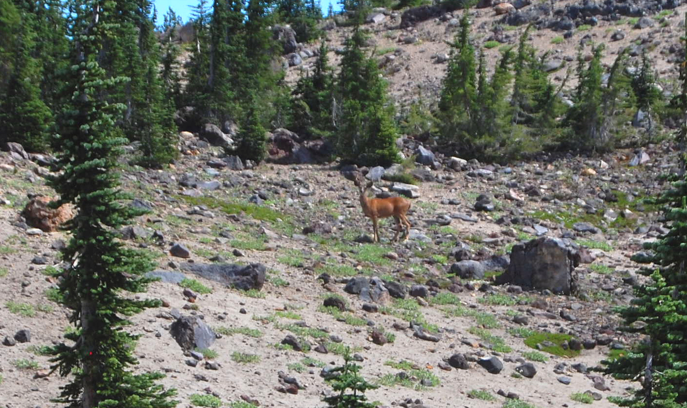
The trail stayed outside of burn area for just over 2 miles, then went through mostly dead woods for the next 4 (but that meant strawberries, early views of the mountain, and deer sighting). Also, starting at about 5500 feet elevation, carpets of flowers were insane - mostly lupine and aster at peak bloom. Having started late, I still got to Horsheshoe Meadows before sunset. Small trees in the meadows have survived the burn well between the meadows, there were even more lupine, and large stream cut its way through all of this. Beautiful place (the stream is very silty though; for this rest of the trip I couldn't use my filter)
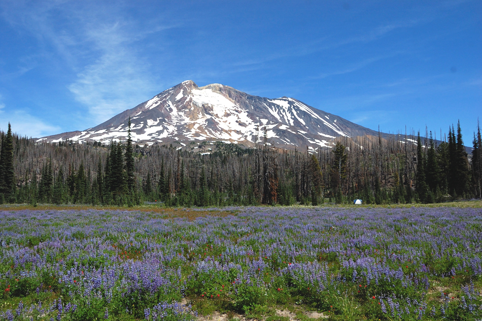
Horsheshoe Meadows on Saturday morning
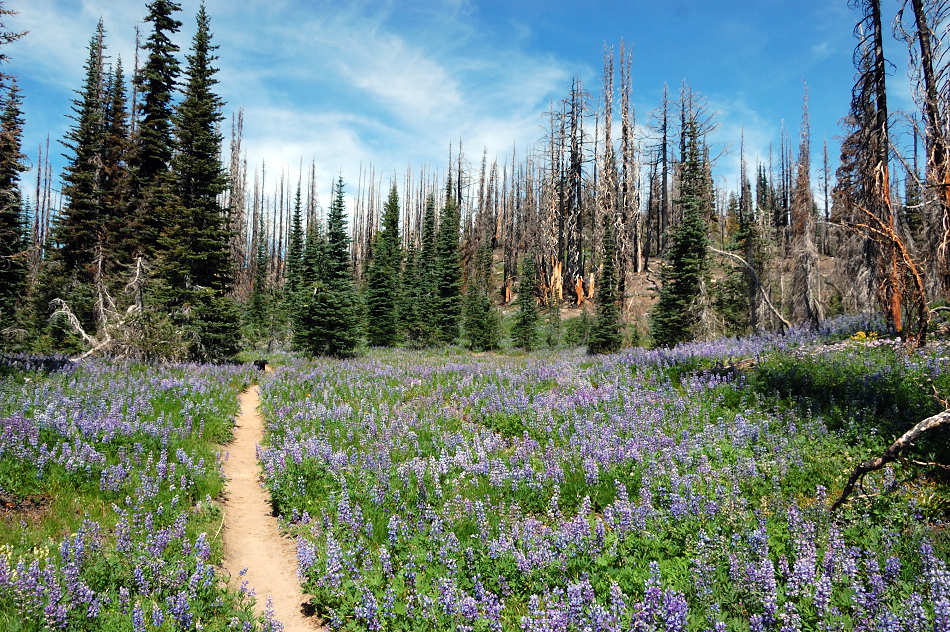
More meadows along the PCT. Could feel the fragrance even after a day up there
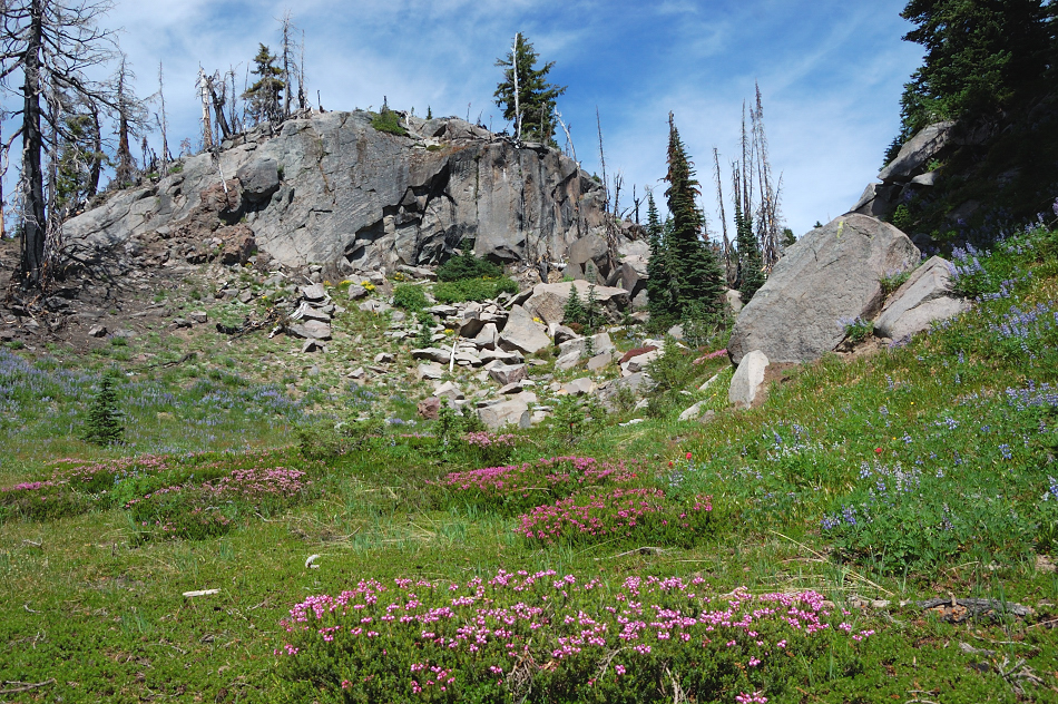
I cut off-trail to The Bumper a bit late, had to go back south above the PCT. Absolutely beautiful country up there, though mosquitoes became worse the closer I went to the Bumper
More deer sightings
The Bumper's summit is wide and mostly flat, north side is rocky but south side is sandy and perfectly suited for summit bivy - some time after mosquito sesason... Oh the views (and bugs!)
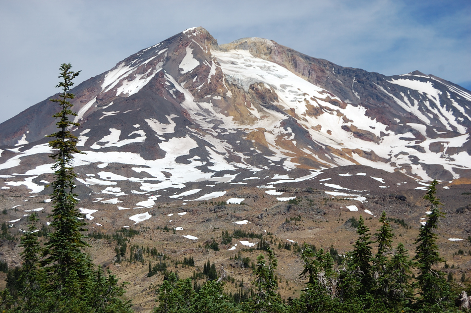
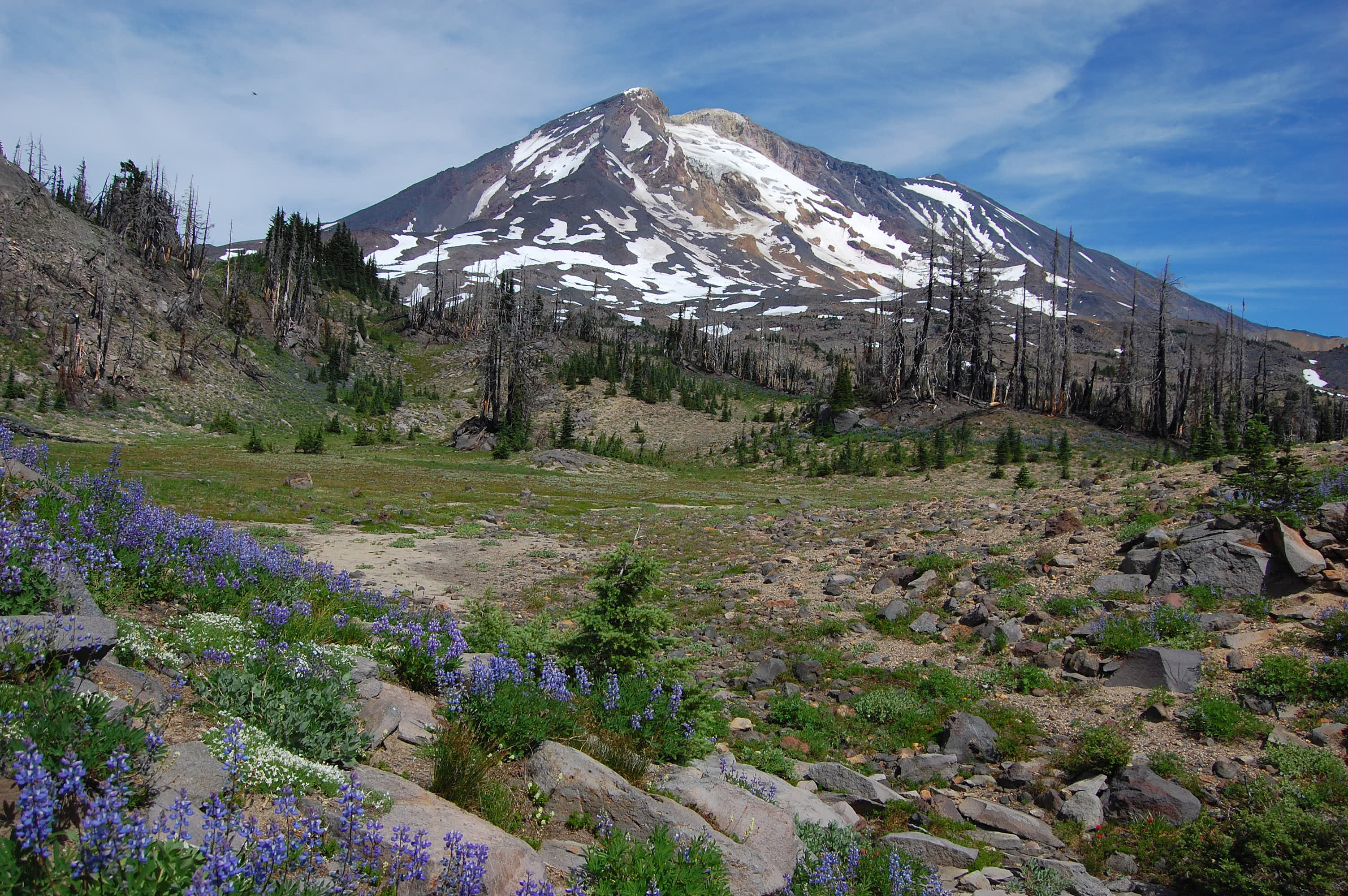
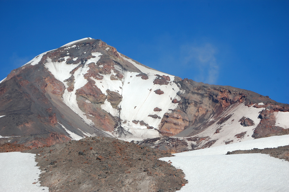
Terrain uphill from The Bumper looked easy, I thought there's still a lot of time before going to Crystal Lake, why not check the two mapped lakes below Pinnacle Glacier?
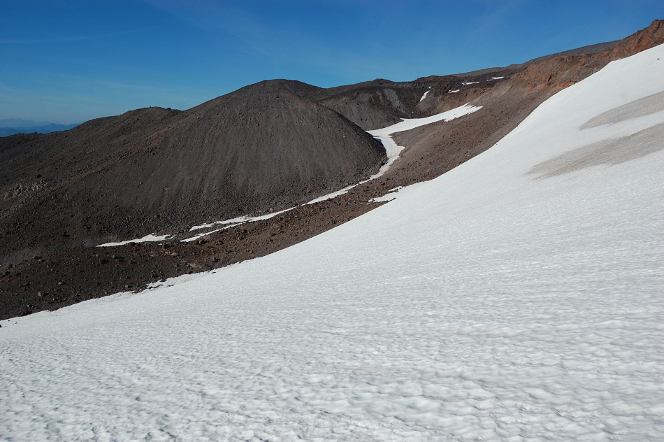
Long story short, I reached one lake at 7011' with no problem, although what started easy cross-country became more rugged and slow going toward the end, with some loose scree slopes and snow. This last big snowfield was a bit steep, I carefully tried my sliding speed before deciding it was safe to glissade down. Then I hiked up that narrow snow gully in the background - Lake 7011 is right around the first cinder hill
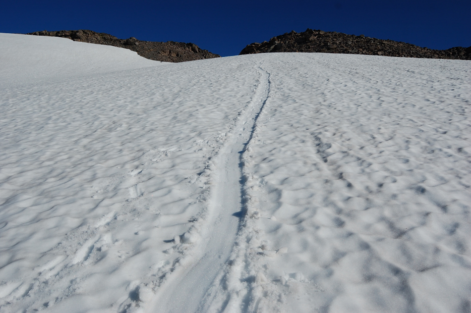
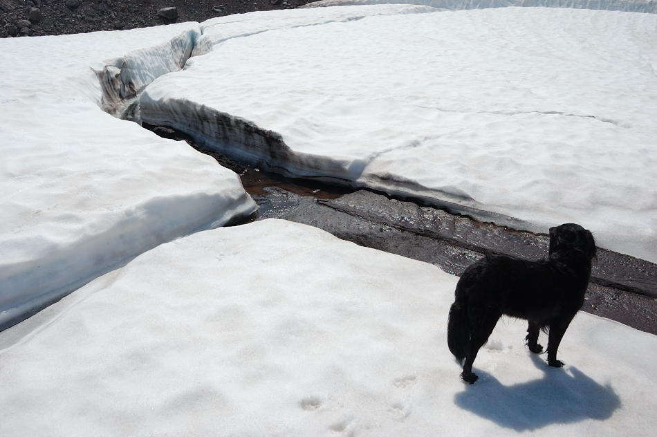
Looking back from snow gully - really thankful for snow bridge here, the hillside is too steep and loose to hike along the stream. Without snow, I'd need to wade up in icy creek (or more likely, I'd turn down hill here)
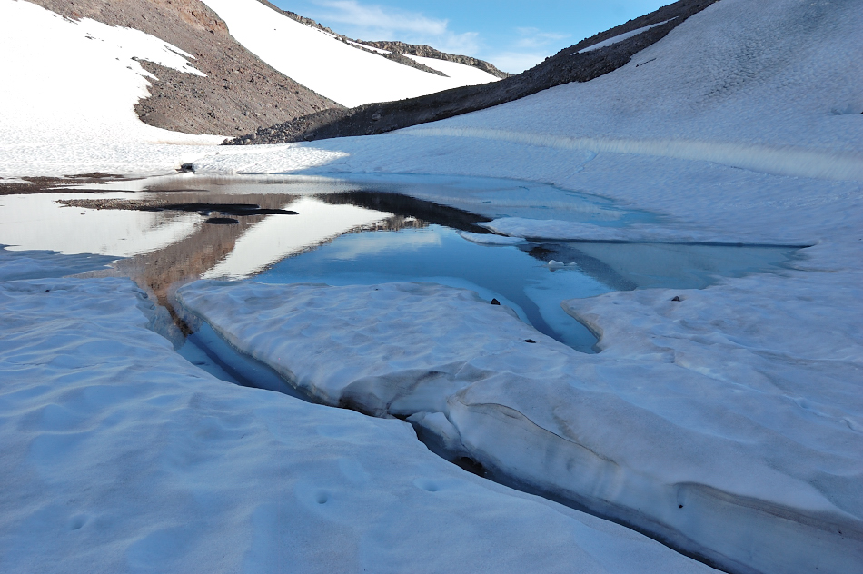
Lake 7011 turned out small and shallow (more like a tarn & was still half covered in ice), but there was superb view of the mountain and Pinnacle Glacier from there. Some interesting crevasses around this tarn - not glacier type crevasses, it looked like the water level recently dropped 5-6 feet and all the ice collapsed. A flat-ish, wet gravel bar at near the water - if needed, I could stay there for the night - but I still hoped to find a good campsite.
(next day's photo of the lake)
Rockslides on this side of the mountain go almost non-stop (and also on some moraines around me)
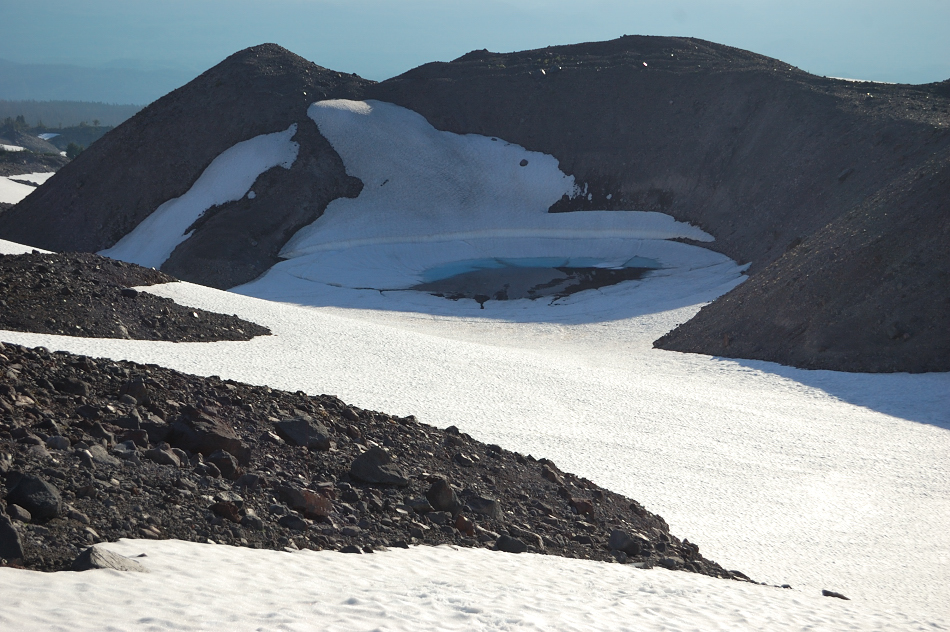
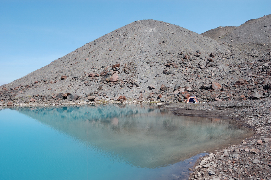
Black Hole Lake?
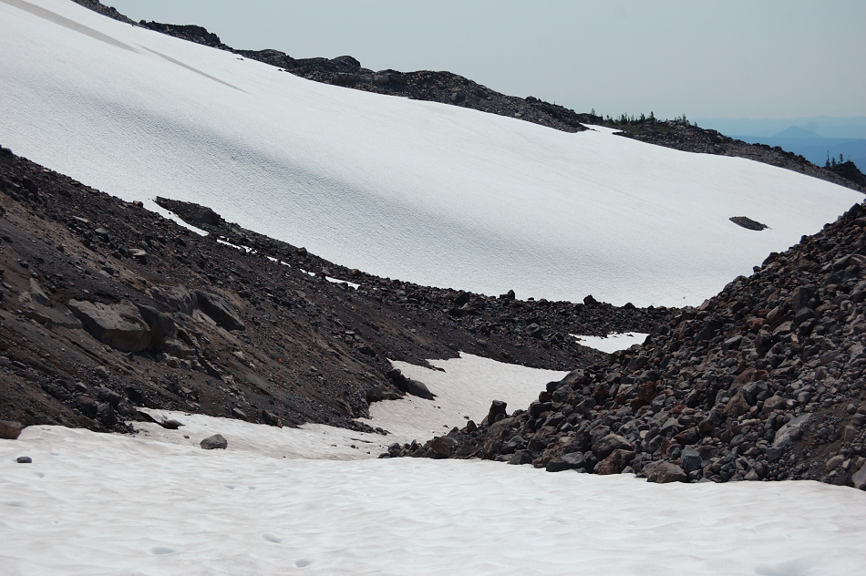
My next goal was to reach the lake marked on the map at 7205', but it proved not so easy. I had to go around and over unstable moraine and it blocked my way until almost 7600', finally went over its upper edge but decided it was too late and if I don't find a suitable camp I'd run out of daylight, so took one last shot of the glacier and turned back here.
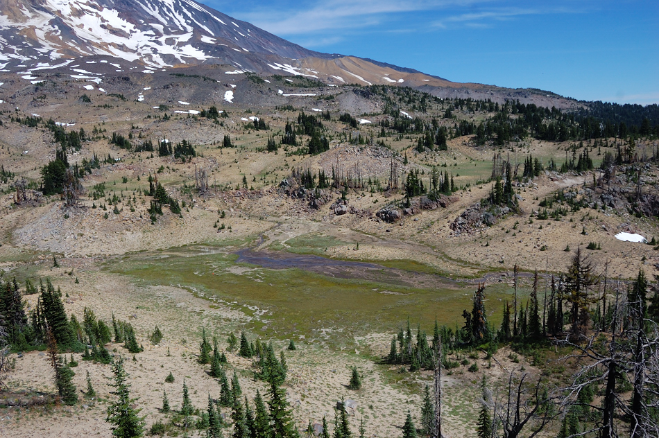
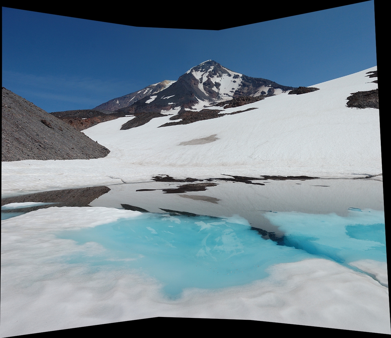
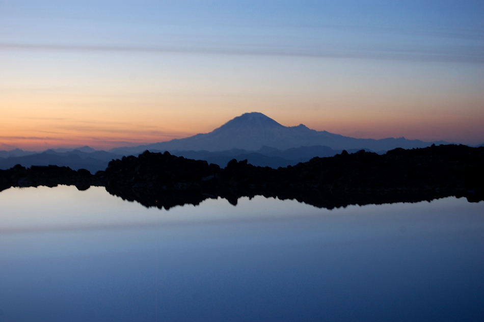
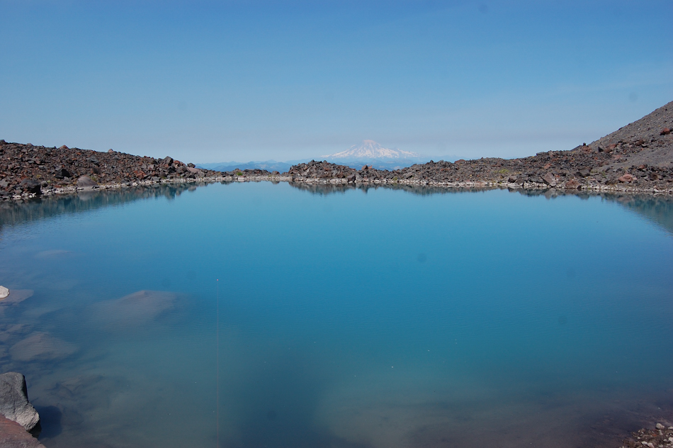
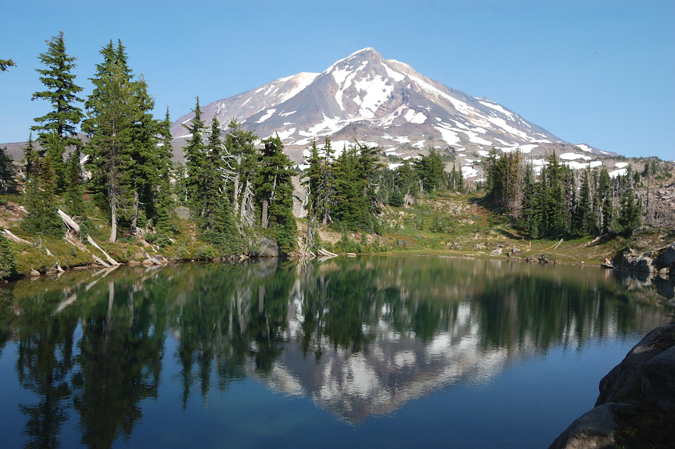
Going down to Lake 7011 though, I saw the second bigger lake a quarter mile away and what looked like much easier (snow-covered) way over moraines so I went down that way & it turned out to have the most beautiful Adams reflection I've seen, and also terrific Rainier view! It had a good place to pitch a tent (although on the "wrong" side of the lake) so I stayed there for the night. Checked the GPS that night it turned out not 7205' lake at all, but an unmapped one at ~6800' elevation - what a find! This lake was much bigger and deeper than 7011 lake, I wonder why it didn't make onto the map?
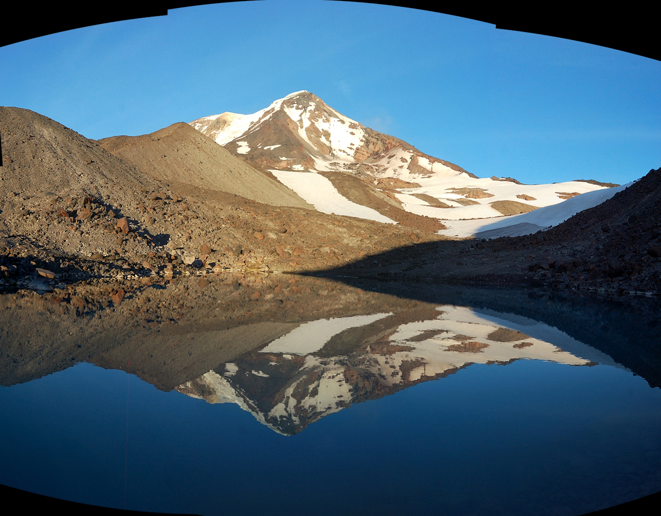
Great view of Rainier there too
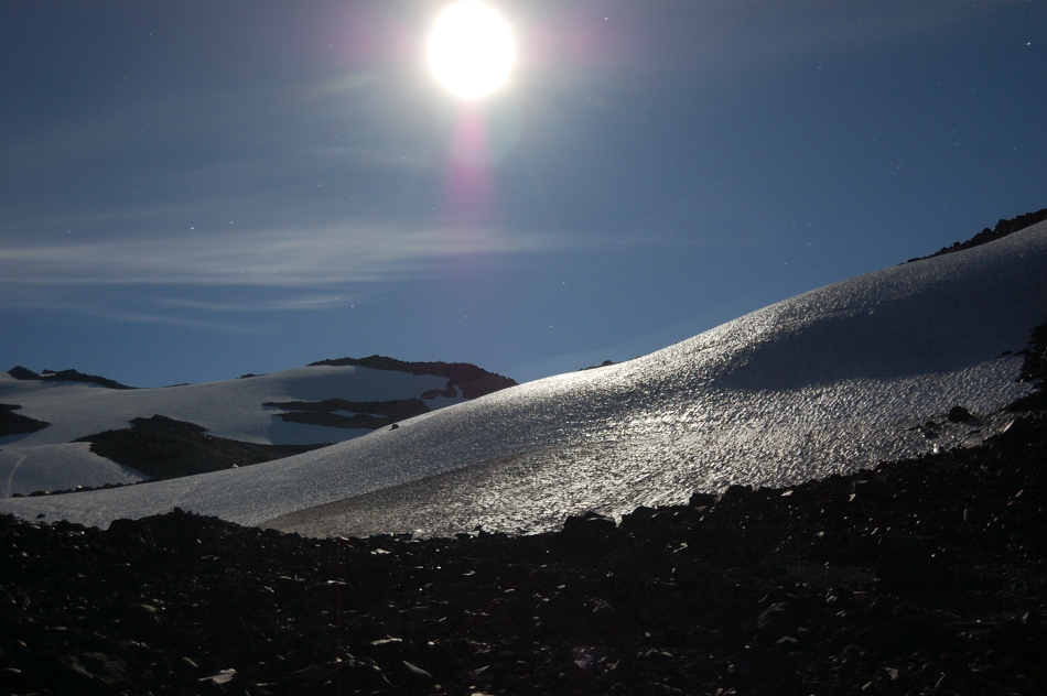
Supermoon reflected off glaciers - it was pretty bright night
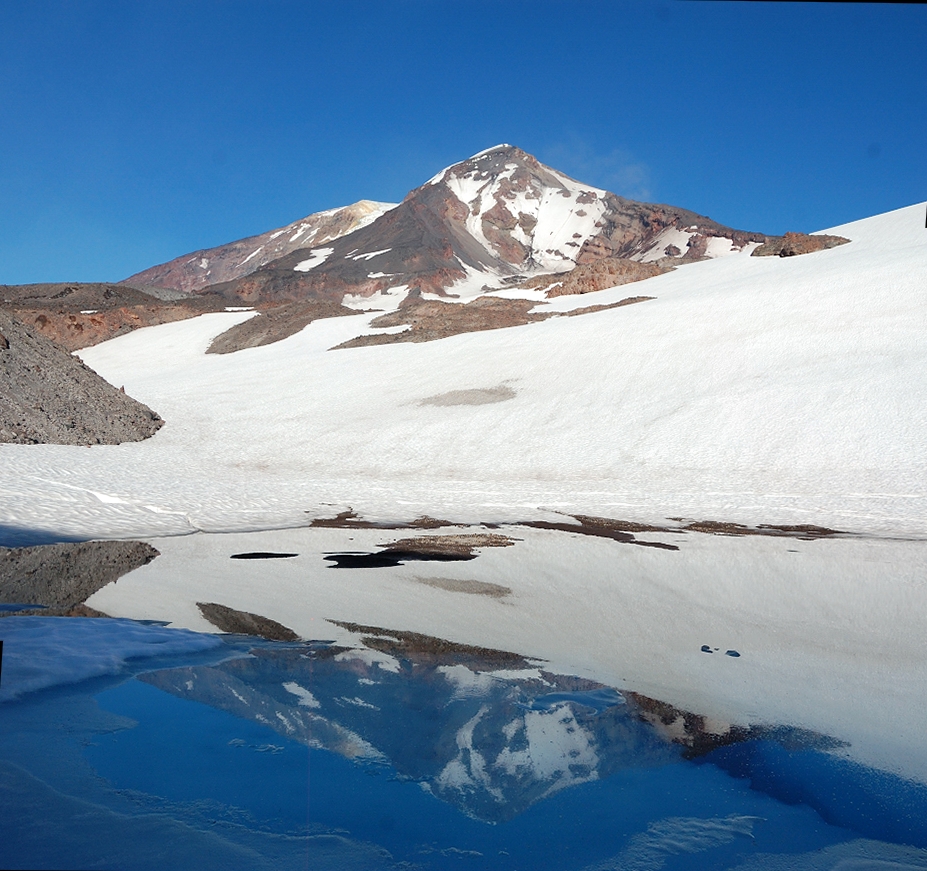
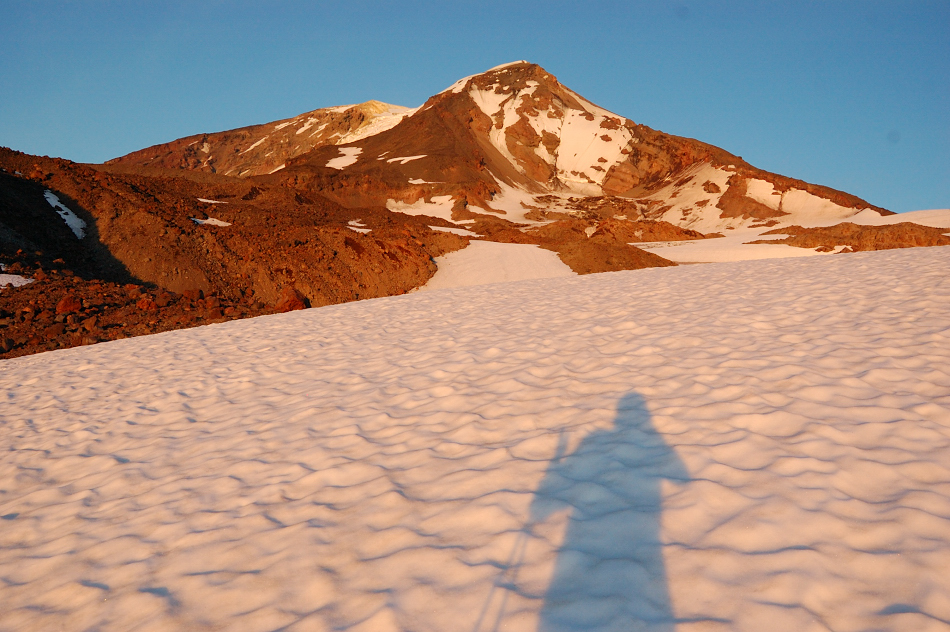
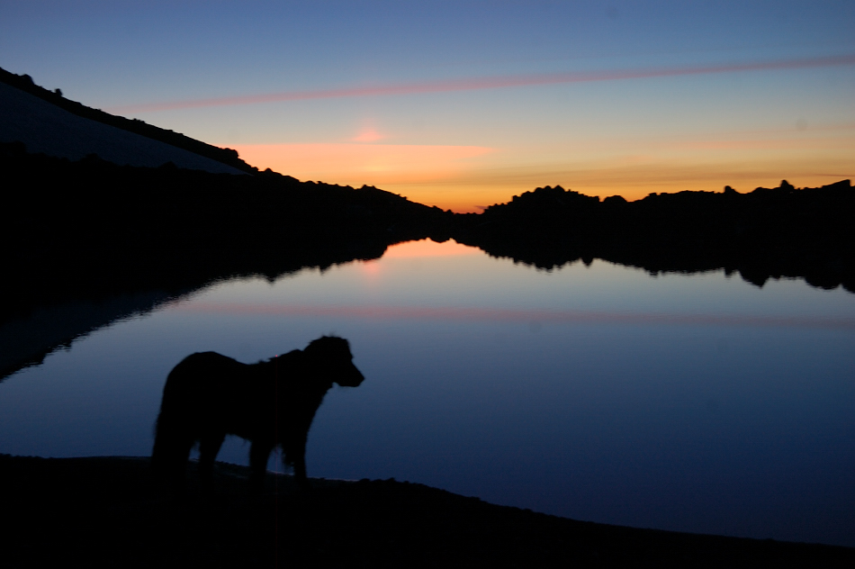
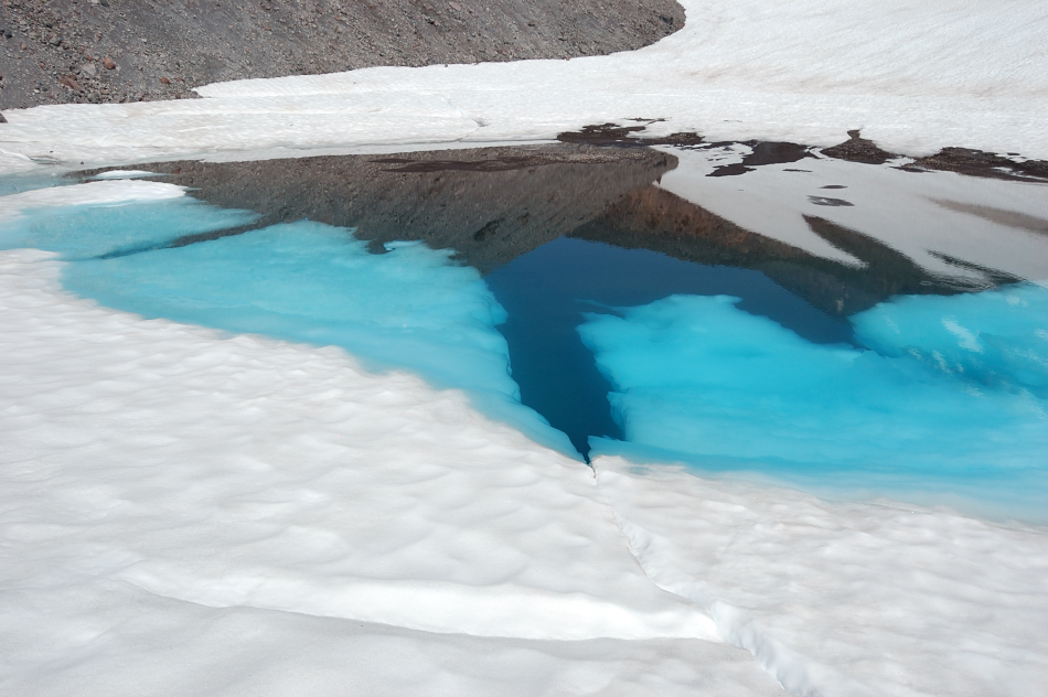
My camp on Sunday morning. I tried the water and surprisingly it wasn't too cold (for being right under large snowfields), maybe 40-45 degrees? If not droves of mosquitoes I'd try to swim there, but with the bugs you need to take off raincoat and run into the water fast. Check that water color!
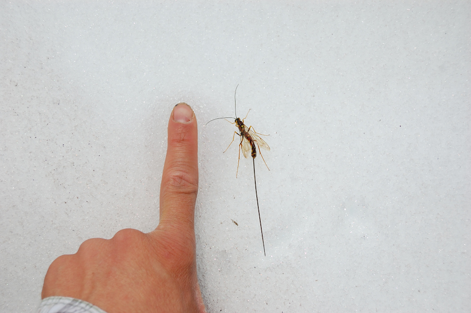
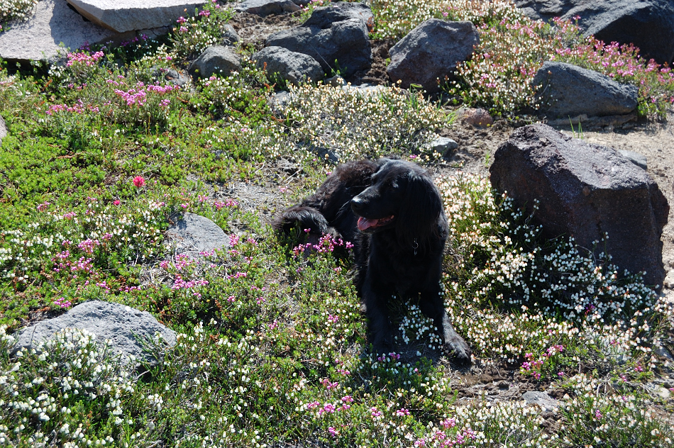
One of the strangest bugs I've seen
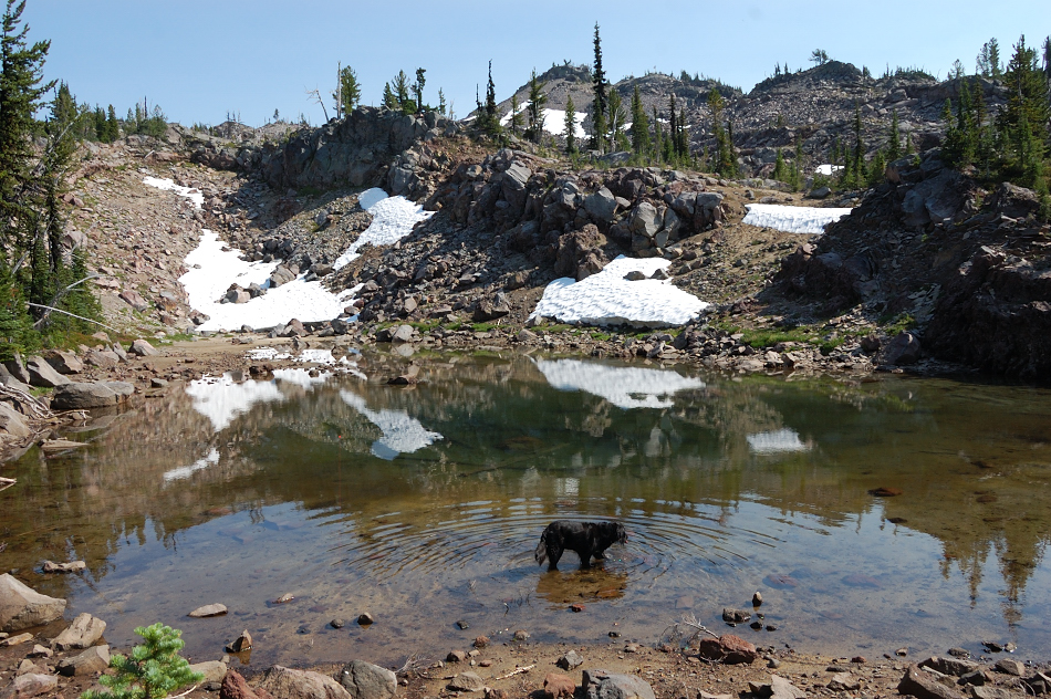
On Sunday, I went back over 250' pass (and by another very small tarn) down to Black Hole Lake...
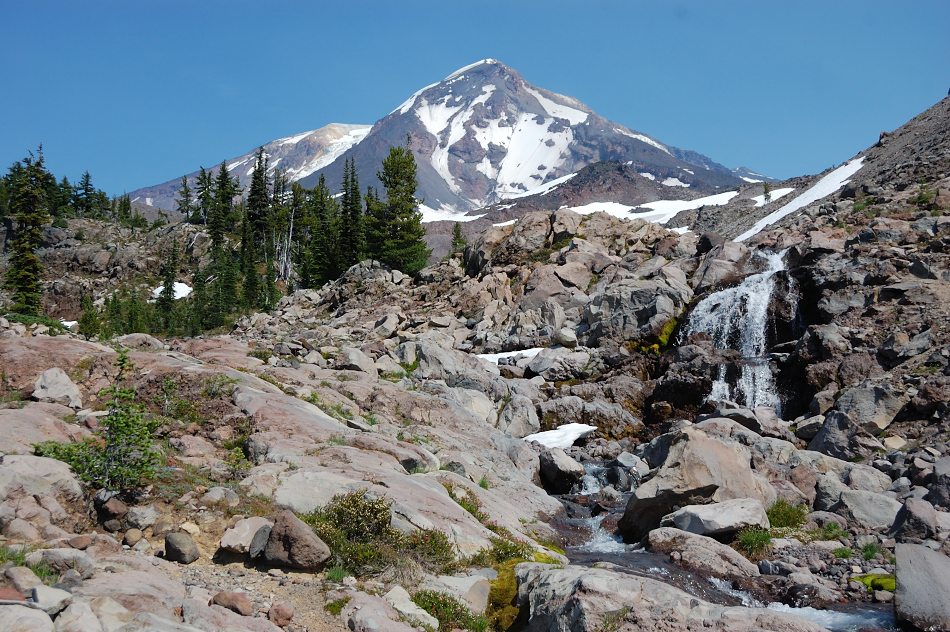
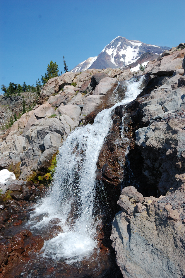
...and continued straight down Riley Creek Canyon - started on snow (easy) but soon descended onto lava jumble (slow!) and it lasted that way for a while. However, then the canyon changed dramatically, with glacier-polished bedrock and sparse trees (had some Yosemite feel in places), mats of blooming heather, and a series of small waterfalls. It's one of the nicer canyons I've seen, completely untouched by the 2012 fire.
Around 6200' I had to leave the canyon if I was to find Crystal Lake, which - oddly - sits right near the top of a narrow ridge. That ridge was pretty nice to see, too - with more polished white rocks, many flat sandy depressions (camping opportunities abound), islands of trees and tons of heather. Saw a small unnamed lake - would definitely camp there if I had another night
...and then found Crystal Lake which also has awesome reflection of Adams but the lakeside is steep and I don't think it's possible to camp anywhere with lake view (although there was another group on the opposite side of the lake so I didn't check it, no campsites were visible). But there were some great campsites within 1/4 mile of the lake, with volcano view.
100' vertical down and I was back in the burn zone with mostly dead trees and some little green areas surprisingly spared by fire, but carpets of lupine and asters were everywhere. Overall, fantastic trip but I have to say 90% of the scenery was above the PCT; this mountain on its west side is best explored off-trail. Also, flowers were already at peak bloom, so I'd give it 1 more week before things start to fade - if you planned to visit that area, now's the time to go
GPS track of the hike (you can see where I went down to 6800' below Pinnacle Glacier - that unmapped lake is there)