
|
Special page |


File list
From Oregon Hikers Field Guide
This special page shows all uploaded files. When filtered by user, only files where that user uploaded the most recent version of the file are shown.
| Date | Thumbnail | Size | User | Description | Versions | |
|---|---|---|---|---|---|---|
| 01:56, 20 March 2008 | Abiquafalls1.jpg (file) |  | 58 KB | Justpeachy | Abiqua Falls | 1 |
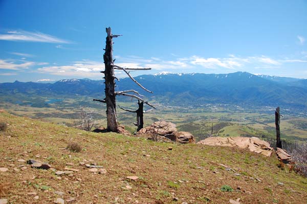
| 21:32, 6 June 2010 | Ashlandviewpoint.jpg (file) |  | 68 KB | Justpeachy | 1 | |
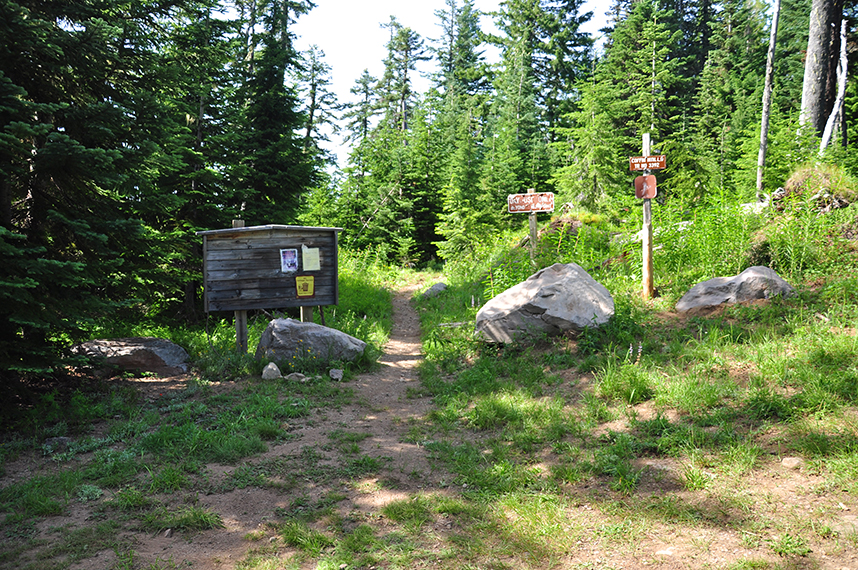
| 18:58, 21 May 2021 | Babyfoottrailhead.jpeg (file) |  | 157 KB | Justpeachy | 1 | |
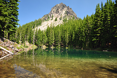
| 19:36, 18 May 2021 | Babyfoot Lake.jpg (file) |  | 359 KB | Justpeachy | 1 | |
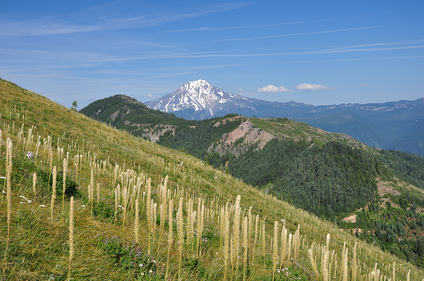
| 18:25, 26 July 2013 | Barlowbutte1.jpg (file) |  | 363 KB | Justpeachy | View of Mt. Hood from a viewpoint south of Barlow Butte | 1 |
| 18:26, 26 July 2013 | Barlowbutte2.jpg (file) |  | 245 KB | Justpeachy | View of Mt. Jefferson from viewpoint south of Barlow Butte | 1 |
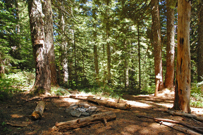
| 02:50, 29 August 2009 | Berry camp.jpg (file) |  | 135 KB | Justpeachy | Berry Camp, along the Observation Peak trail | 1 |
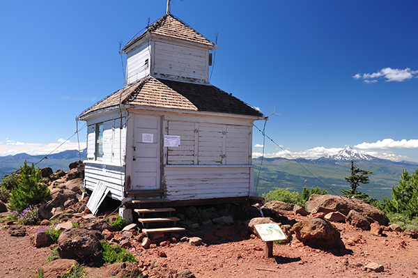
| 20:05, 4 December 2016 | Blackbuttecupola.jpg (file) |  | 281 KB | Justpeachy | 1 | |
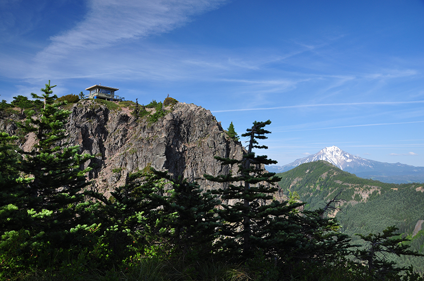
| 23:09, 10 March 2017 | Blackbuttelookout.jpg (file) |  | 320 KB | Justpeachy | 1 | |
| 23:18, 10 March 2017 | Blackbuttemap.jpg (file) |  | 1.84 MB | Justpeachy | 1 | |
| 14:28, 9 June 2023 | Blackbuttetrailhead.jpg (file) |  | 732 KB | Justpeachy | 1 | |
| 21:31, 6 June 2010 | Burnviewpoint.jpg (file) |  | 76 KB | Justpeachy | 1 | |
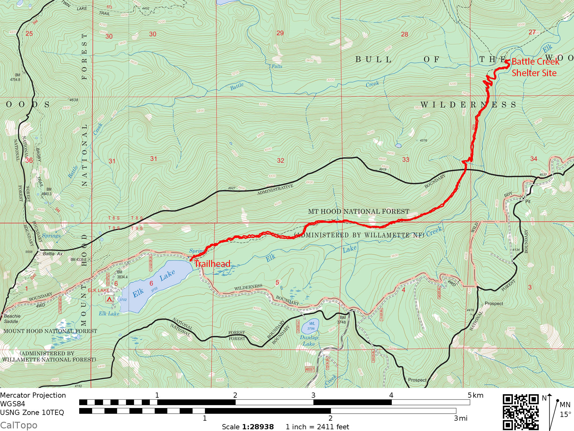
| 01:07, 11 August 2020 | CampLakeMap.jpg (file) |  | 1.64 MB | Justpeachy | 1 | |
| 14:27, 19 March 2019 | Carllake1.jpg (file) |  | 570 KB | Justpeachy | 1 | |
| 15:45, 28 July 2015 | Castlerock1.jpg (file) |  | 229 KB | Justpeachy | 1 | |
| 15:45, 28 July 2015 | Castlerock2.jpg (file) |  | 586 KB | Justpeachy | 1 | |
| 14:22, 28 July 2015 | CastleRockTrailhead.jpg (file) |  | 668 KB | Justpeachy | 1 | |
| 13:25, 20 August 2018 | Cedargrove1.jpg (file) |  | 389 KB | Justpeachy | 1 | |
| 13:26, 20 August 2018 | Cedargrove2.jpg (file) |  | 402 KB | Justpeachy | 1 | |
| 15:53, 18 November 2020 | Cedargrovetrailhead.jpg (file) |  | 626 KB | Justpeachy | 1 | |
| 19:32, 13 June 2020 | ChucksneyMap.jpg (file) |  | 1.81 MB | Justpeachy | 1 | |
| 20:03, 13 June 2020 | ChucksneyMountain.jpg (file) |  | 1.46 MB | Justpeachy | 1 | |
| 19:27, 13 June 2020 | ChucksneyThreeSisters.jpg (file) |  | 1.21 MB | Justpeachy | 1 | |
| 19:46, 13 June 2020 | ChucksneyTrailhead.jpg (file) |  | 1.16 MB | Justpeachy | 1 | |
| 14:54, 8 October 2018 | Clearlakewillamette.jpg (file) | 233 KB | Justpeachy | 1 | ||
| 15:17, 28 May 2014 | Coffin1.jpg (file) |  | 588 KB | Justpeachy | 1 | |
| 15:19, 28 May 2014 | Coffin2.jpg (file) |  | 509 KB | Justpeachy | 1 | |
| 14:59, 28 May 2014 | Coffintrailhead.jpg (file) |  | 829 KB | Justpeachy | 1 | |
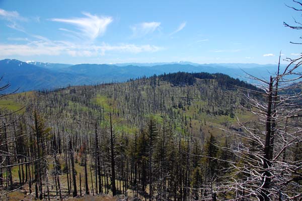
| 00:16, 10 July 2013 | Cowhornview.jpg (file) |  | 94 KB | Justpeachy | 1 | |
| 16:40, 25 October 2022 | Cranecreekcrossing.jpg (file) |  | 1.25 MB | Justpeachy | 1 | |
| 22:18, 13 July 2014 | Crescentbeargrass.jpg (file) |  | 622 KB | Justpeachy | Beargrass on Crescent Mountain | 1 |
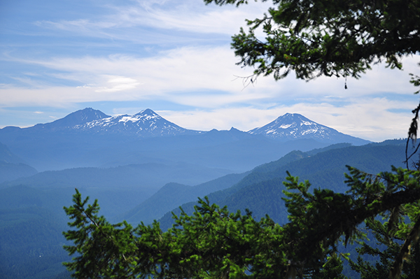
| 22:17, 13 July 2014 | Crescentjefferson.jpg (file) |  | 355 KB | Justpeachy | 1 | |
| 23:55, 13 July 2014 | Crescenttrailhead.jpg (file) |  | 821 KB | Justpeachy | Crescent Mountain Trailhead | 1 |
| 02:15, 4 August 2014 | Diamondpeak.jpg (file) |  | 130 KB | Justpeachy | 1 | |
| 02:16, 4 August 2014 | Dividelake.jpg (file) |  | 191 KB | Justpeachy | 1 | |
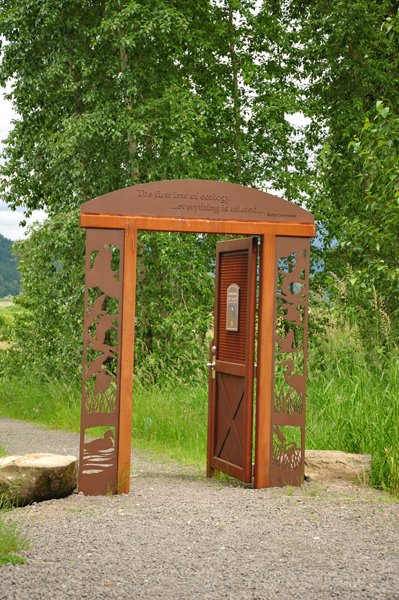
| 02:28, 26 June 2011 | Doorway.jpg (file) |  | 377 KB | Justpeachy | 1 | |
| 16:02, 18 November 2020 | Douglaswildcatjct.jpg (file) |  | 766 KB | Justpeachy | 1 | |
| 15:14, 18 June 2017 | Drycreek1.jpg (file) |  | 788 KB | Justpeachy | 1 | |
| 05:21, 7 January 2008 | DryCreekFalls4.jpg (file) |  | 153 KB | Justpeachy | Dry Creek Falls in winter | 1 |
| 13:30, 20 August 2018 | Duffylake1.jpg (file) |  | 279 KB | Justpeachy | 1 | |
| 14:54, 10 March 2023 | Eaglecreekdogsign.jpg (file) |  | 1.2 MB | Justpeachy | 1 | |
| 14:57, 10 March 2023 | Eaglecreekpicnictable.jpg (file) |  | 1.02 MB | Justpeachy | 1 | |
| 14:51, 10 March 2023 | Eaglecreektrailtread.jpg (file) |  | 1.2 MB | Justpeachy | 1 | |
| 17:50, 22 September 2018 | Elklakecreektrail.jpg (file) |  | 199 KB | Justpeachy | 1 | |
| 15:47, 8 September 2019 | ElkLakeCreek Map.jpg (file) |  | 656 KB | Justpeachy | 1 | |
| 17:56, 10 September 2020 | ElkLakeTHDeschutes.jpg (file) |  | 796 KB | Justpeachy | 1 | |
| 03:01, 5 July 2013 | Elkmountain.jpg (file) |  | 372 KB | Justpeachy | The viewpoint at Elk Mountain | 1 |
| 03:02, 5 July 2013 | Elkmountainbeargrass.jpg (file) |  | 407 KB | Justpeachy | Beargrass on Elk Mountain | 1 |
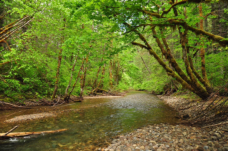
| 02:26, 26 June 2011 | Gibbonscreek.jpg (file) |  | 349 KB | Justpeachy | 1 | |
| 21:31, 6 June 2010 | Grizzlypeak.jpg (file) |  | 64 KB | Justpeachy | 1 |
First page |
Previous page |
 Next page |
Last page |