
|
Special page |


File list
From Oregon Hikers Field Guide
This special page shows all uploaded files. When filtered by user, only files where that user uploaded the most recent version of the file are shown.
| Name | Thumbnail | Size | User | Description | Versions | |
|---|---|---|---|---|---|---|
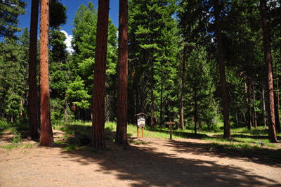
| 15:11, 22 April 2013 | Weldon3.jpg (file) |  | 265 KB | Justpeachy | White Salmon Oak NRCA Sign | 1 |
| 00:38, 22 April 2013 | Weldon2.jpg (file) |  | 170 KB | Justpeachy | Wildflower slopes along the old Weldon Wagon Road | 1 |
| 00:36, 22 April 2013 | Weldon1.jpg (file) |  | 158 KB | Justpeachy | View from Weldon Wagon Road hike | 1 |
| 02:50, 28 August 2012 | Maxwelllake.jpg (file) |  | 276 KB | Justpeachy | 1 | |
| 03:31, 28 July 2011 | Steinsmap.jpg (file) |  | 285 KB | Justpeachy | 1 | |
| 02:22, 28 July 2011 | Steinspillar2.jpg (file) |  | 85 KB | Justpeachy | 1 | |
| 02:21, 28 July 2011 | Steinspillar1.jpg (file) |  | 164 KB | Justpeachy | 1 | |
| 02:13, 28 July 2011 | Steinspillartrailhead.jpg (file) |  | 184 KB | Justpeachy | 1 | |
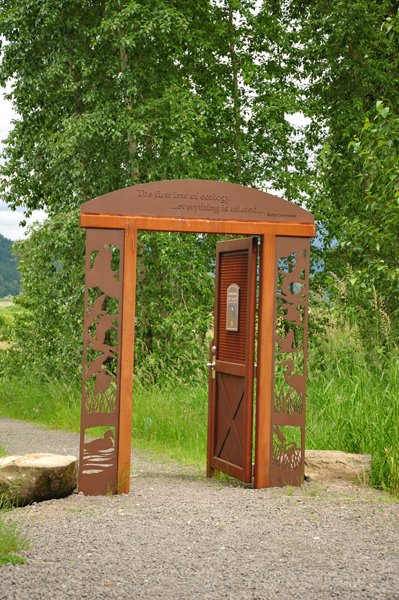
| 02:28, 26 June 2011 | Doorway.jpg (file) |  | 377 KB | Justpeachy | 1 | |
| 02:26, 26 June 2011 | Gibbonscreek.jpg (file) |  | 349 KB | Justpeachy | 1 | |
| 21:32, 6 June 2010 | Ashlandviewpoint.jpg (file) |  | 68 KB | Justpeachy | 1 | |
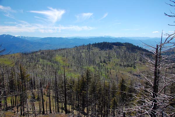
| 21:31, 6 June 2010 | Grizzlypeak.jpg (file) |  | 64 KB | Justpeachy | 1 | |
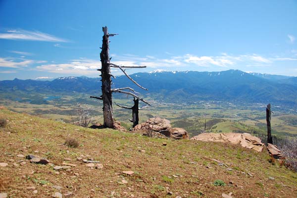
| 21:31, 6 June 2010 | Burnviewpoint.jpg (file) |  | 76 KB | Justpeachy | 1 | |
| 02:46, 4 June 2010 | Pilotrocktrailhead.jpg (file) |  | 85 KB | Justpeachy | 1 | |
| 02:17, 4 June 2010 | Pilotrockview.jpg (file) |  | 75 KB | Justpeachy | 1 | |
| 02:16, 4 June 2010 | Pilotrock.jpg (file) |  | 83 KB | Justpeachy | 1 | |
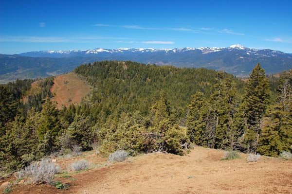
| 03:02, 29 August 2009 | Observation peak.jpg (file) |  | 104 KB | Justpeachy | The view from Observation Peak | 1 |
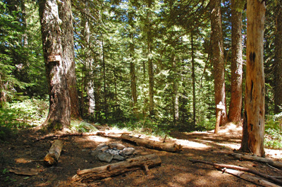
| 02:50, 29 August 2009 | Berry camp.jpg (file) |  | 135 KB | Justpeachy | Berry Camp, along the Observation Peak trail | 1 |
| 02:45, 29 August 2009 | Observation trailhead.jpg (file) |  | 100 KB | Justpeachy | The trailhead for Observation Peak | 1 |
| 02:32, 29 August 2009 | Observation hood.jpg (file) |  | 36 KB | Justpeachy | Mt. Hood from Observation Peak | 1 |
| 02:31, 29 August 2009 | Observation rainier.jpg (file) |  | 112 KB | Justpeachy | Mt. Rainier from Observation Peak | 1 |
| 01:05, 27 April 2009 | Hoodrivermtn2.jpg (file) |  | 145 KB | Justpeachy | The summit of Hood River Mountain | 1 |
| 01:02, 27 April 2009 | Hrm map2.jpg (file) |  | 306 KB | Justpeachy | Map showing loop route | 1 |
| 01:01, 27 April 2009 | Hrm meadows.jpg (file) |  | 144 KB | Justpeachy | The meadows at the beginning of their bloom | 1 |
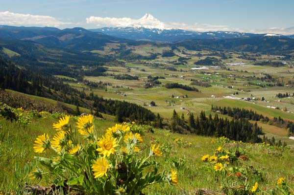
| 01:00, 27 April 2009 | Hoodrivermtn1.jpg (file) |  | 88 KB | Justpeachy | Mt. Hood from the meadows atop Hood River Mountain | 1 |
| 00:33, 27 April 2009 | Hrm trailhead.jpg (file) |  | 216 KB | Justpeachy | Hood River Mountain trailhead | 1 |
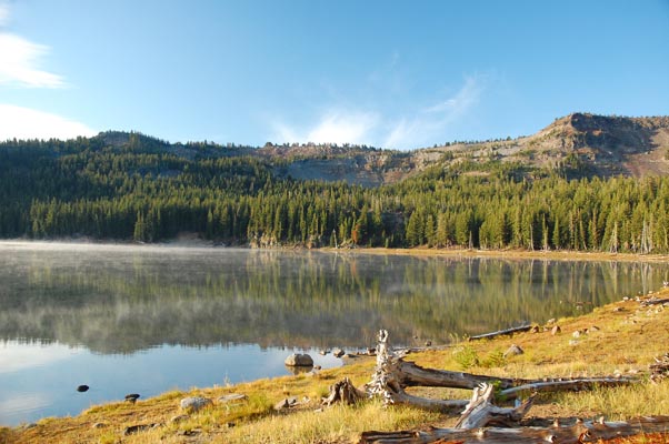
| 03:03, 2 January 2009 | Mcarthur rim.jpg (file) |  | 82 KB | Justpeachy | Tam McArthur Rim above Three Creek lake | 1 |
| 01:56, 20 March 2008 | Abiquafalls1.jpg (file) |  | 58 KB | Justpeachy | Abiqua Falls | 1 |
| 05:21, 7 January 2008 | DryCreekFalls4.jpg (file) |  | 153 KB | Justpeachy | Dry Creek Falls in winter | 1 |
| 05:11, 7 January 2008 | PotatoMtHood.jpg (file) |  | 131 KB | Justpeachy | 1 | |
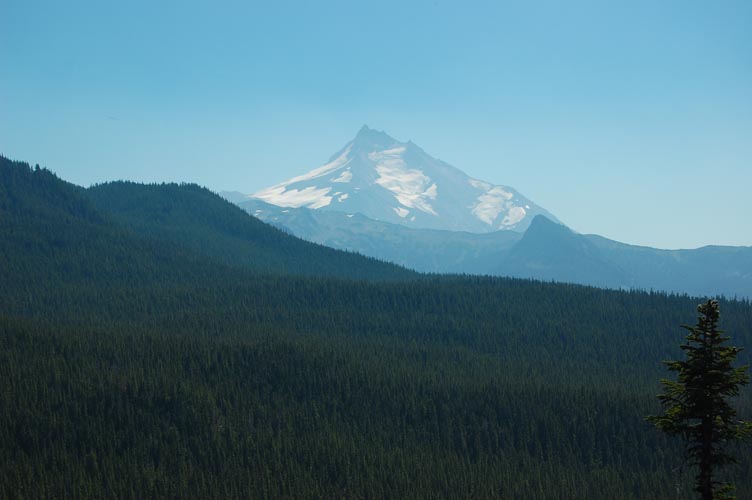
| 05:09, 7 January 2008 | PotatoMtJefferson1.jpg (file) |  | 82 KB | Justpeachy | View of lakes and Mt. Jefferson from Potato Butte | 1 |
| 05:07, 7 January 2008 | PotatoMtJefferson2.jpg (file) |  | 53 KB | Justpeachy | View of Mt. Jefferson from Potato Butte | 1 |
| 05:05, 7 January 2008 | PotatoOlallieButte.jpg (file) |  | 104 KB | Justpeachy | View of Olallie Butte from Potato Butte | 1 |
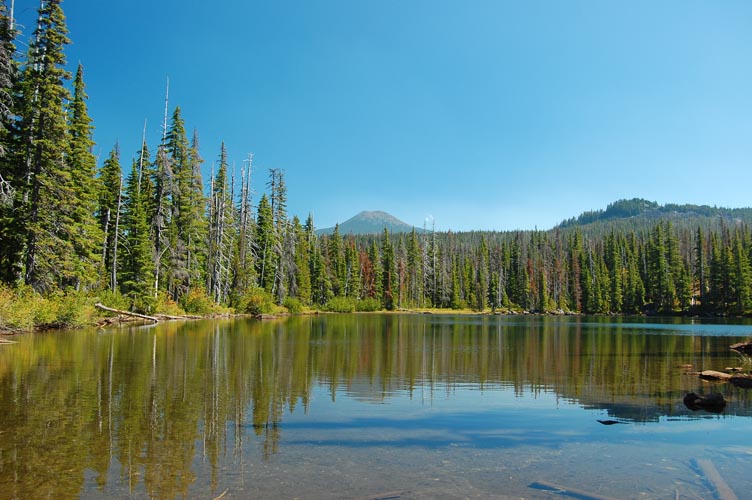
| 05:03, 7 January 2008 | PotatoSheepLake.jpg (file) |  | 102 KB | Justpeachy | Sheep Lake | 1 |
| 04:57, 7 January 2008 | PotatoWallLake3.jpg (file) |  | 133 KB | Justpeachy | Wall Lake | 1 |
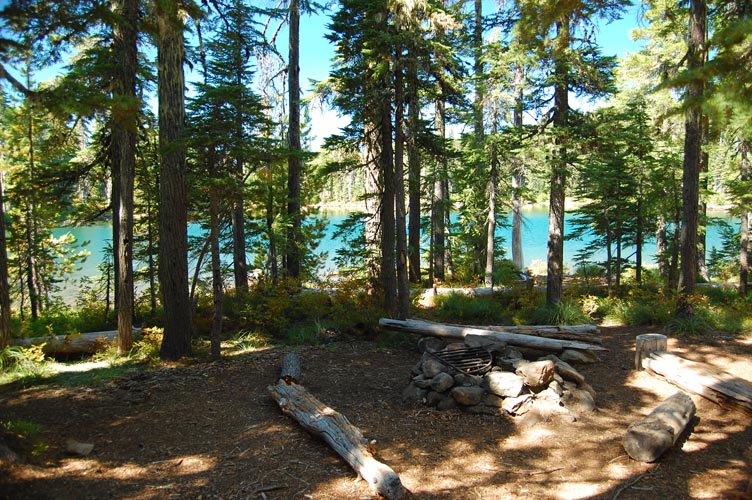
| 04:56, 7 January 2008 | PotatoWallLake2.jpg (file) |  | 182 KB | Justpeachy | Campsite at Wall Lake | 1 |
| 04:53, 7 January 2008 | PotatoWallLake1.jpg (file) |  | 103 KB | Justpeachy | Potato Butte seen from Wall Lake | 1 |
| 04:47, 7 January 2008 | PotatoAverillLake2.jpg (file) |  | 103 KB | Justpeachy | Averill Lake | 1 |
| 04:44, 7 January 2008 | PotatoAverillLake1.jpg (file) |  | 110 KB | Justpeachy | Averill Lake | 1 |
| 03:59, 7 January 2008 | PotatoRedLake2.jpg (file) |  | 41 KB | Justpeachy | Red Lake | 1 |
| 03:55, 7 January 2008 | PotatoRedLake1.jpg (file) |  | 61 KB | Justpeachy | Red Lake | 1 |
First page |
Previous page |
Next page |
Last page |