I found a neat route from just beyond the Oneonta trailhead up the ridge to connect to the Franklin Ridge trail (well, the cutoff trail to Nesika to be exact). While very steep it is brush free and there are well worn game trails to follow to route around the numerous rock outcroppings on the way up. This route creates a number of loop opportunities like I did today where I ascended on this route and descended on Oneonta. Other loops could be things like a short loop using Multnomah Falls or the Elevator Shaft.
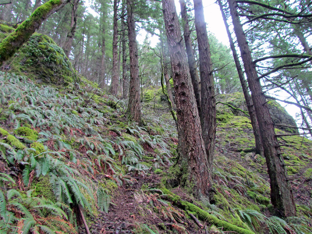
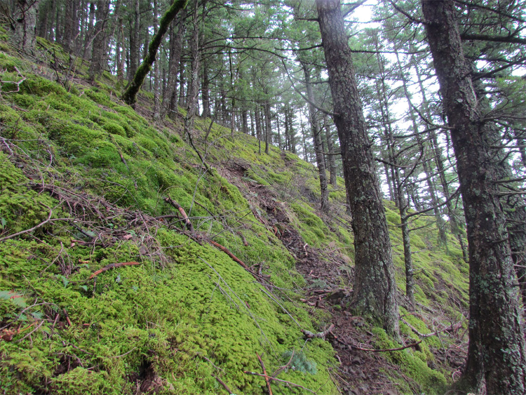
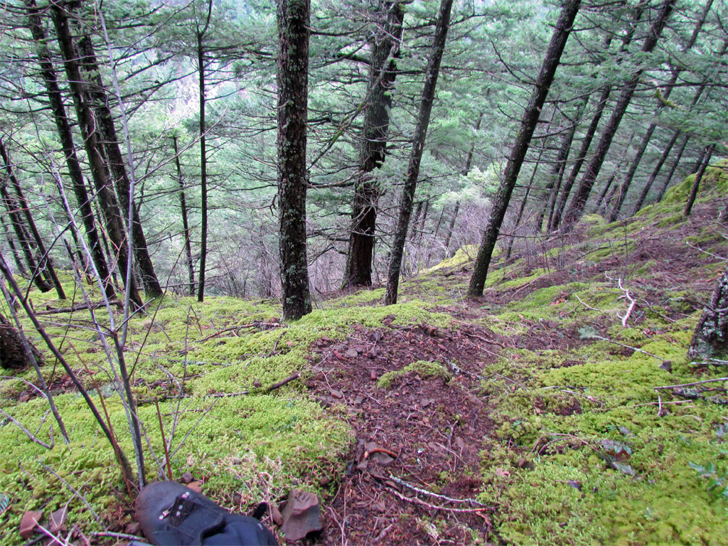
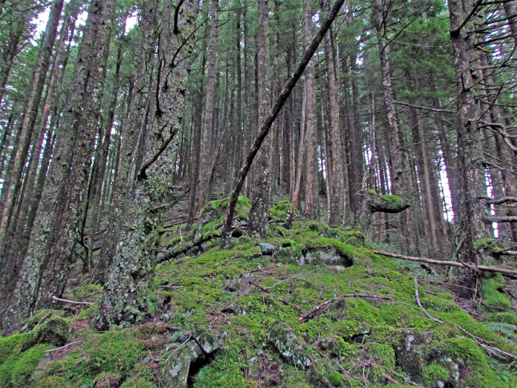
Here are examples of nice sections of game trail on the way up:
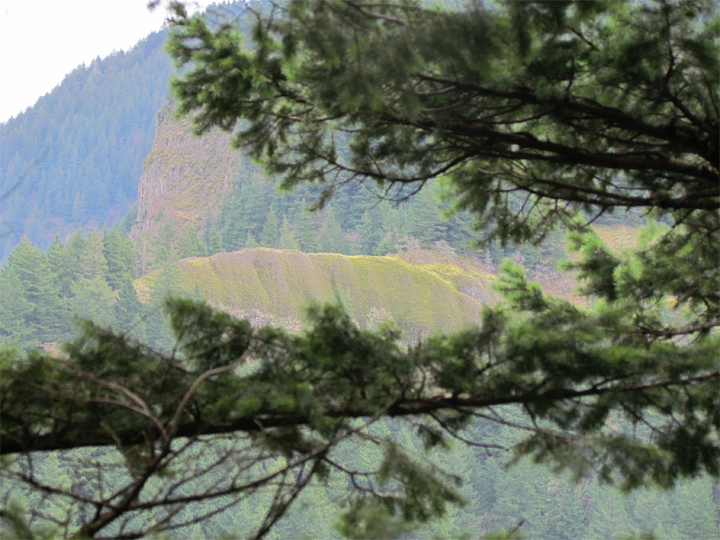
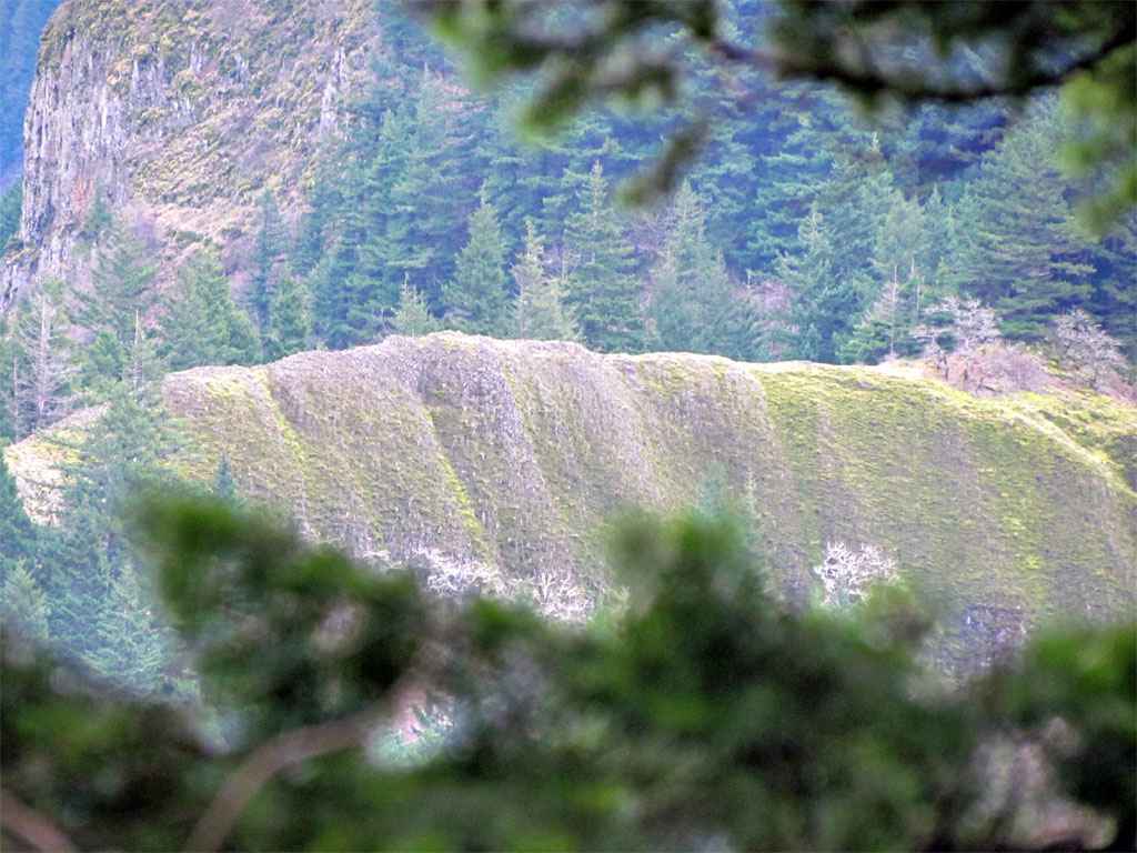
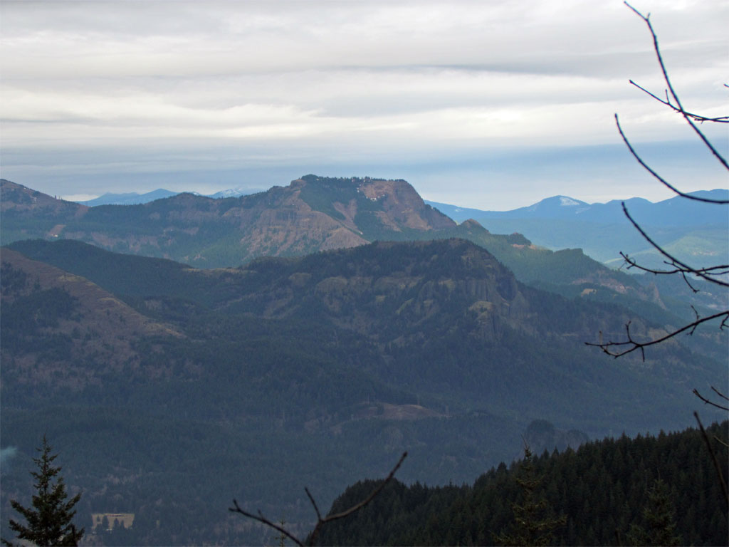
Pretty viewless for the route I took but I think some exploring would turn up some nice openings. I did get this view of the Devil's Backbone on Rock of Ages Trail:
Did I mention the route is steep?
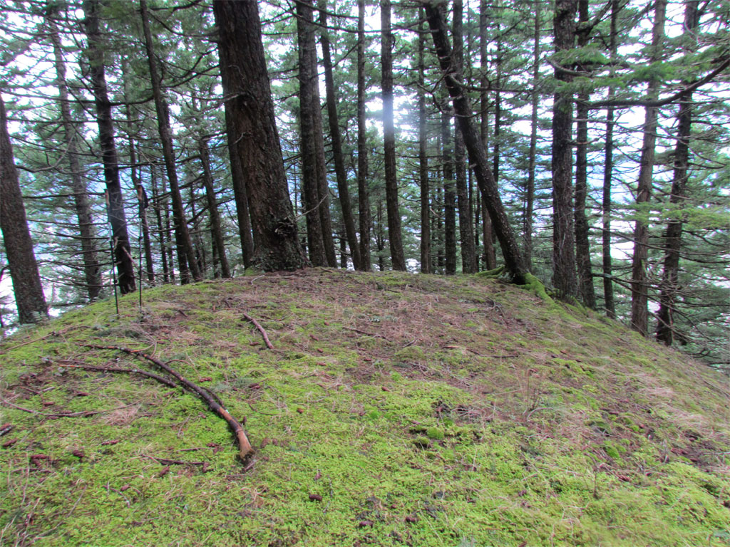
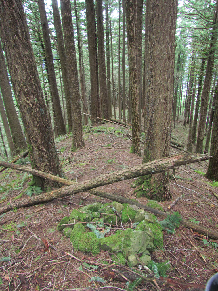
I hit the ridge proper on a flat spot with still more to go but it was nice to have a somewhat level place to stand.
Once on the ridge I was able to pick up the pace.
This route meets up with the cutoff trail to Nesika and just before I met with the trail I ran across this old fire ring - I've no doubt that many others have preceded me on this route.
From the Franklin ridge trail I met with Oneonta trail for the return. There was a nice view of Table Mtn from an opening on Franklin Ridge Trail. Where's the snow?
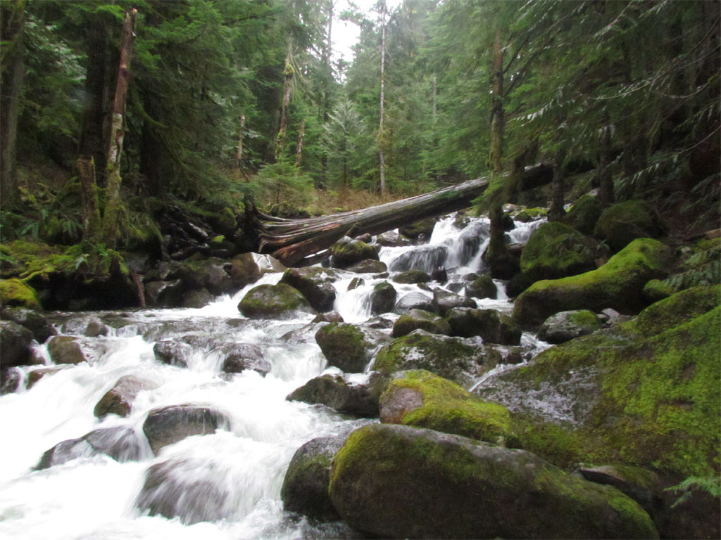
Oneonta Creek has slimmed down since the deluge - here's the log crossing:
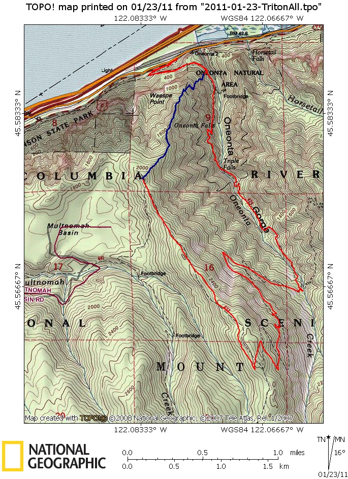
Around 7-8 miles, ~3000'+ cumulative vertical. The off-trail portion is in blue.
Oneonta to Franklin Ridge - January 23, 2011
The future's uncertain and the end is always near.
Re: Oneonta to Franklin Ridge - January 23, 2011
Great find Paul,
Makes a very direct way to Nesika Lodge, the old fire ring makes me wonder if this route was once used by Trails Club members to get to Nesika.
- IDratherbehiking
- Posts: 551
- Joined: May 7th, 2010, 11:20 pm
- Contact:
Re: Oneonta to Franklin Ridge - January 23, 2011
OK, this is a MUST DO for me!
Last edited by IDratherbehiking on January 23rd, 2011, 7:59 pm, edited 1 time in total.
Re: Oneonta to Franklin Ridge - January 23, 2011
Hey Paul,
I was up there two weeks ago and had fun scrambling on that ridge, looking for Waespe Point, and some other stuff. It was a bit icy on my visit:
I started just below this big gorgeous mossy scree field, which I skirted, the moss here is truly at least 6 inches thick: I got a thrill too about seeing the Devil's backbone across the way.
At times that trail seemed like it had to be made by people, then other times, it was truly a game trail.....but I sure do love a good ridge top ramble. I went up to about 1700 feet before I had to turn around, not far past the old fire ring. I should have gone back earlier, it was my first big hike since a back injury in November and my legs were shaking on the way down, a bit scary.
Re: Oneonta to Franklin Ridge - January 23, 2011
Me too! Thanks Paul for sharing what looks to be a great destination for a fun adventurous outing.IDratherbehiking wrote:OK, this is a MUST DO for me!
Some people are really fit at eighty; thankfully I still have many years to get into shape…
Re: Oneonta to Franklin Ridge - January 23, 2011
Jen,cfm wrote:Hey Paul,
I was up there two weeks ago and had fun scrambling on that ridge, looking for Waespe Point, and some other stuff. It was a bit icy on my visit: [...]
That's great that you did that, I had the feeling the route is too obvious for me to be anywhere near the first up. I hope to do a look-see for Waespe Point on subsequent visits - but there is not much to go on from the map - in the map I posted I was thinking it would be near the 'W'.
--Paul
The future's uncertain and the end is always near.
- Splintercat
- Posts: 8333
- Joined: May 28th, 2008, 10:03 pm
- Location: Portland
- Contact:
Re: Oneonta to Franklin Ridge - January 23, 2011
I'm confused - I thought Waespe Point was simply the overlook/viewpoint at Nesika Lodge? (and having never been to either, I'm completely in the dark... as usual...)
Paul or Jen, can you point them out on the map? Also, Paul, where was the "flat spot" on your track?
Neat report!
Tom
Paul or Jen, can you point them out on the map? Also, Paul, where was the "flat spot" on your track?
Neat report!
Tom
Re: Oneonta to Franklin Ridge - January 23, 2011
So all this got me curious about the official location of Waespe Point.
So from the site below I got these co ordinates 45.5842846 -122.0834187
http://www.geographic.org/geographic_na ... sageo_1061
Feeding those through GPS visualizer puts Waespe Point here on the map below: Looking at the contours that would seem to make sense. Also looking in Google Earth but it doesn't look right there.
Re: Oneonta to Franklin Ridge - January 23, 2011
That would be really neat if Waespe Pt was where you have located the marker as there is that narrow little ridge going south from your marker. A traverse over from the route I took and then hike out on that ridge would be cool - but that ridge must be really narrow if the USGS contours are to be believed. Worth a visit - likely not much brush.Guy wrote:So all this got me curious about the official location of Waespe Point.
So from the site below I got these co ordinates 45.5842846 -122.0834187
http://www.geographic.org/geographic_na ... sageo_1061
Feeding those through GPS visualizer puts Waespe Point here on the map below: Looking at the contours that would seem to make sense. Also looking in Google Earth but it doesn't look right there.
--Paul
The future's uncertain and the end is always near.
Re: Oneonta to Franklin Ridge - January 23, 2011
The Lowe's 1974 hiking guide (70-Hiking Trails Northern Oregon Cascades) shows a trail from the helispot off the Franklin Ridge trail at about 2020' descending NNW into the Multnomah Basin and connecting with the dirt road that enters the basin from SSW. This trail is shown going past a "private lodge." Their trip description makes it sound as though this was THE way to Franklin Ridge in those days. Looks like the current trail was re-routed to avoid the Basin.
Last edited by VanMarmot on January 25th, 2011, 6:35 am, edited 1 time in total.