Harrison Falls, Camp Benson Falls, + others 12/14

Discussions and Trip Reports for off-trail adventures and rediscovering lost trails
User avatar
BrianEdwards
Posts: 2405
Joined: February 2nd, 2010, 1:32 am
Location: Oregon City, OR
Contact:

Harrison Falls, Camp Benson Falls, + others 12/14

Post by BrianEdwards » December 14th, 2010, 9:01 pm

Headed out with my sister today to check out some forgotten falls in the eastern Gorge. As mentioned yesterday, all the creeks are at peak flows due to warm rain and melting snow.

I've only had this camera a couple weeks, and in RAW it's saturating everything. While converting these images, I've turned down the saturation 15-20% in all these shots.. Still a work in progress.
First on the agenda was a trip to Cabin Creek Falls to try and get a better angle on it than yesterday. The immense spray today hampered any efforts to get a good vertical shot of it.
Image

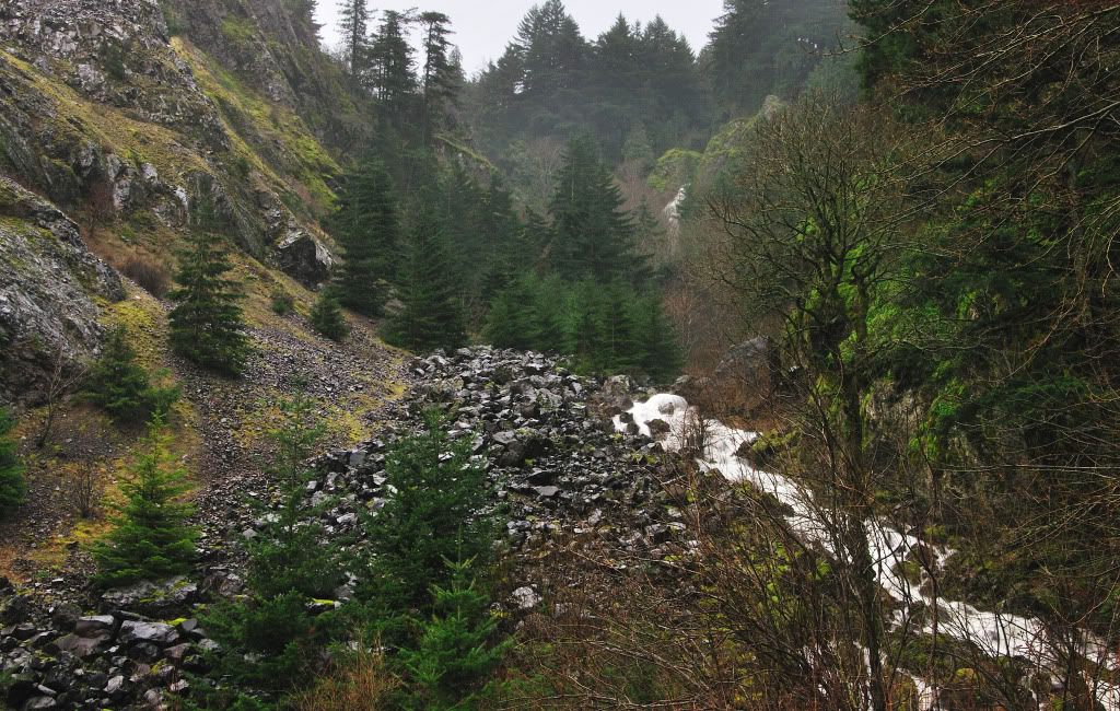
Looking over the huge rock laying in the way
Image

I then tried a shot from the side of the highway
Image

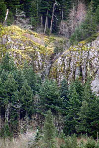
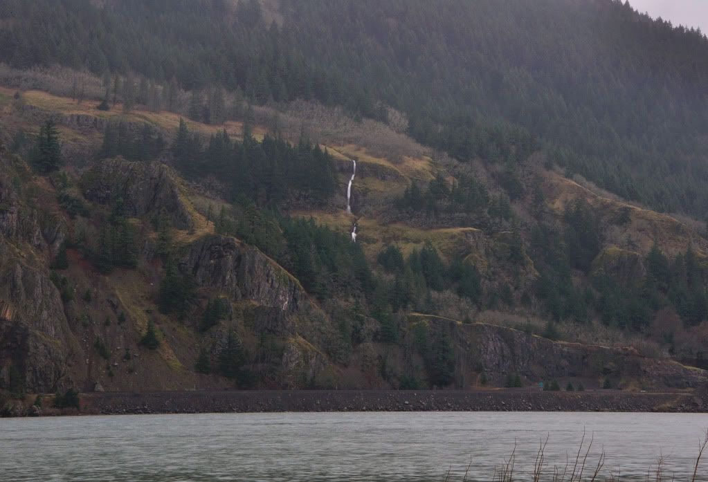
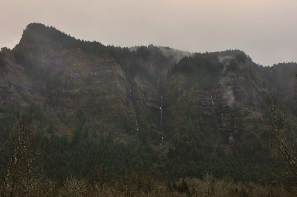
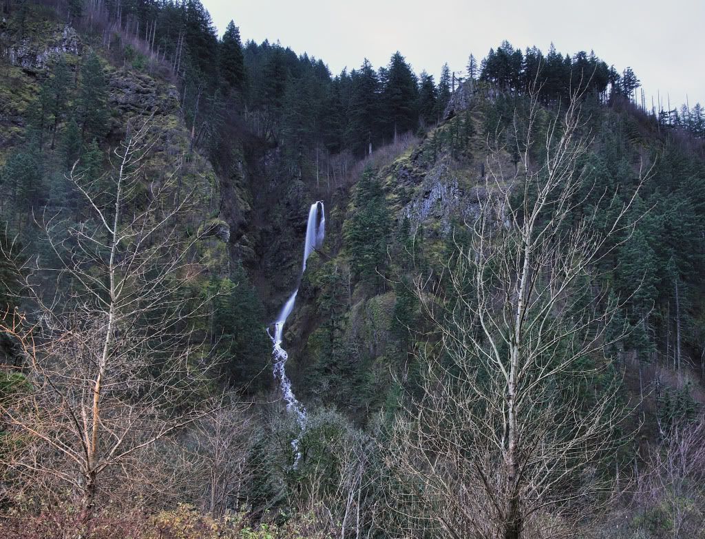
From here we proceeded east to Viento State Park to turn around. Across the river was a seasonal falls
Image

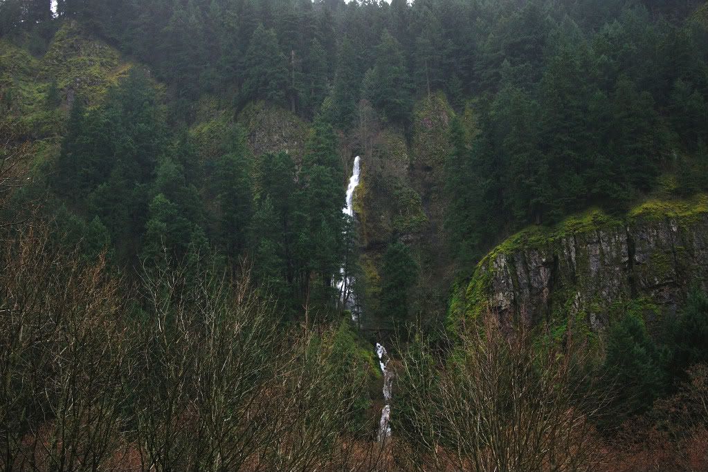
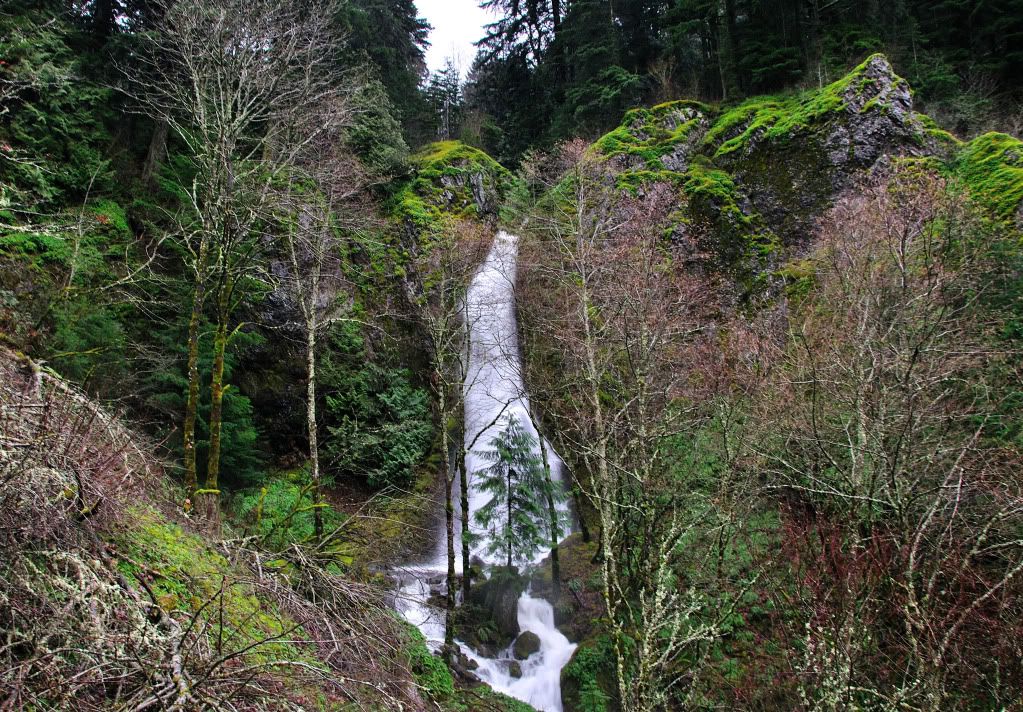
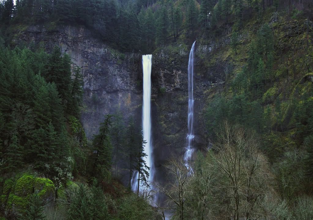
Mainly what I wanted next was a vertical shot of 300+ ft Lancaster from the weigh station parking lot
Image

In this view, you can see the bowl I climbed into yesterday at the bottom of the picture.
Image

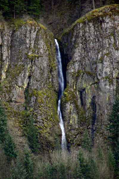
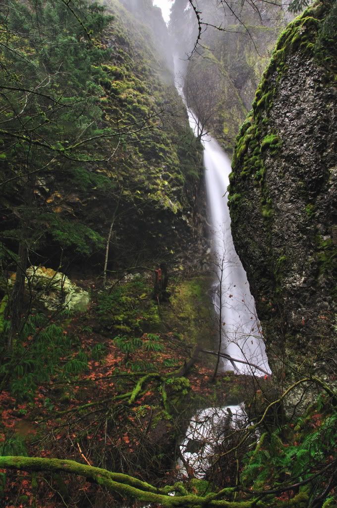
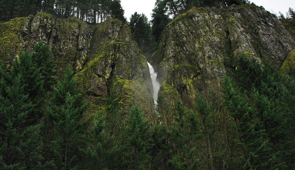
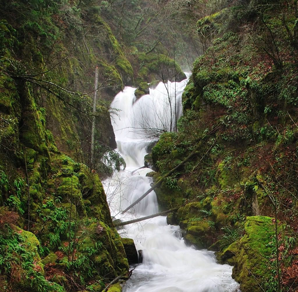
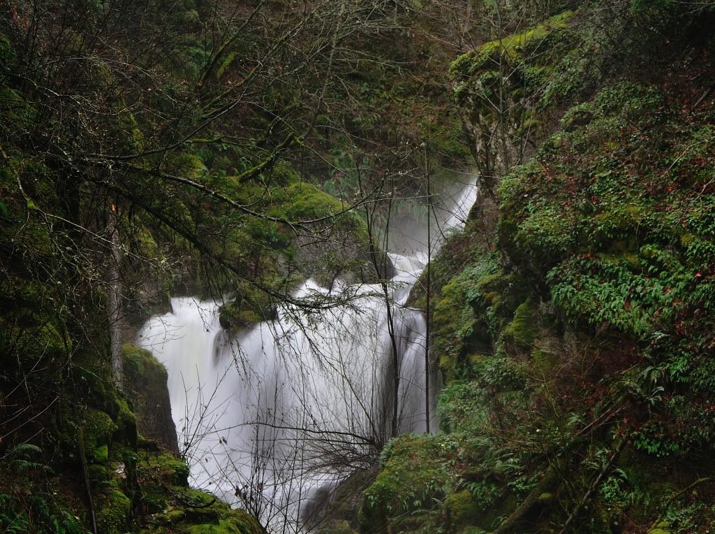
From here, we turned back east at Wyeth and proceeded to the base of Summit Creek, where Camp Benson Falls were roaring. We parked at the wide spot right before the culvert. I proceeded on foot alone up the creek. The going is rough to say the least.

Here's a shot from the highway, the falls are in sight at the top of the canyon.
Image

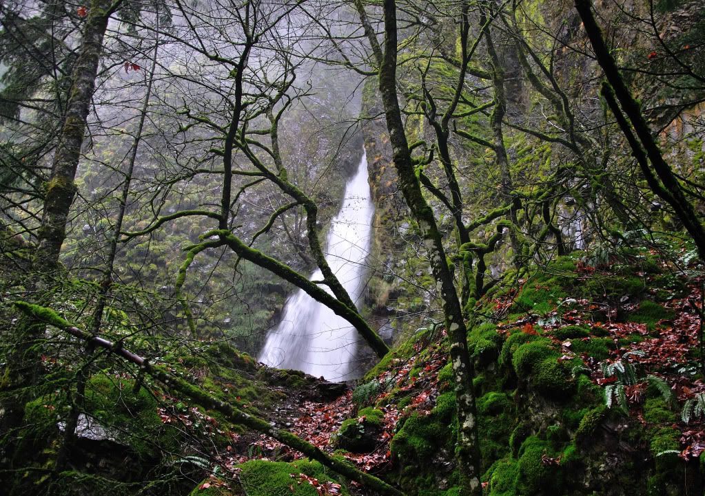
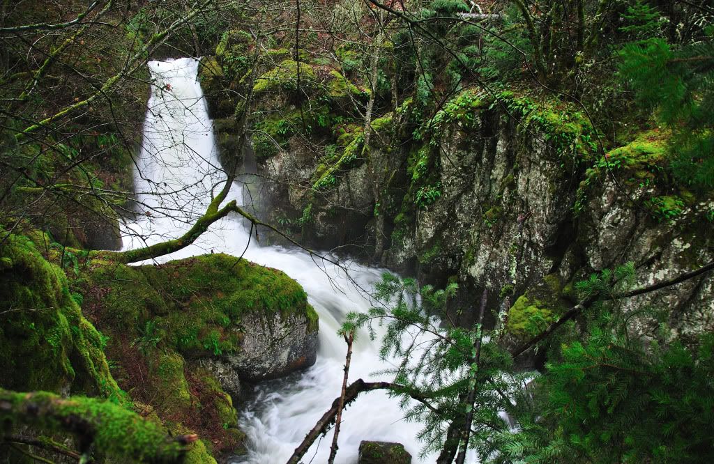
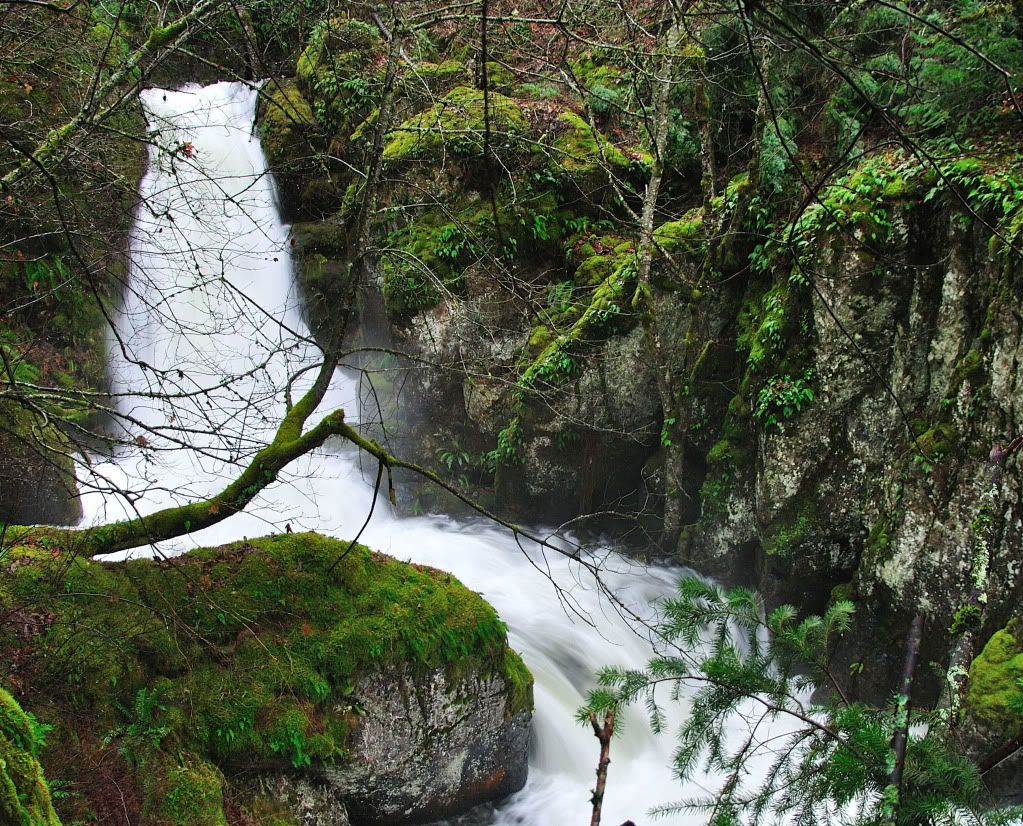
I climbed up the eastern side of the creek, following a faint game trail. about halfway up, I encountered cliffs and a series of cascades. The falls are on the right just above the cascade.
Image

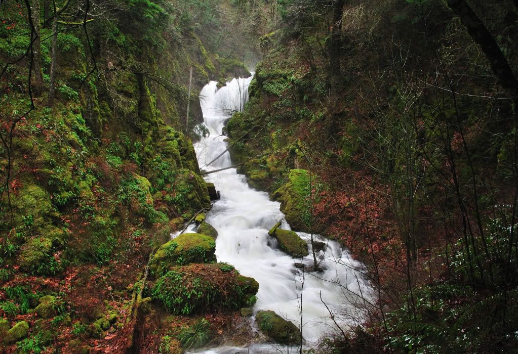
From here, its all cliffs to the falls. I don't recommend anyone go this route to the falls. I made it up and around the hill, but the going was extremely slow and not for the faint of heart. The falls turned out to be less spectacular than I had hoped. They're probably in the realm of 60 ft or so.
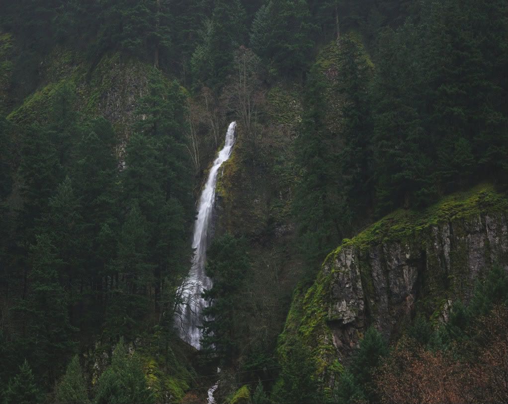
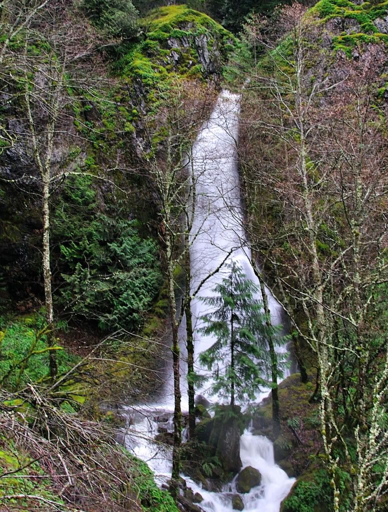
Image

Cropped
Image

From here, I proceeded back down the cliff area, and back to the truck. The rain was pounding by this time, and it made things interesting to say the least.

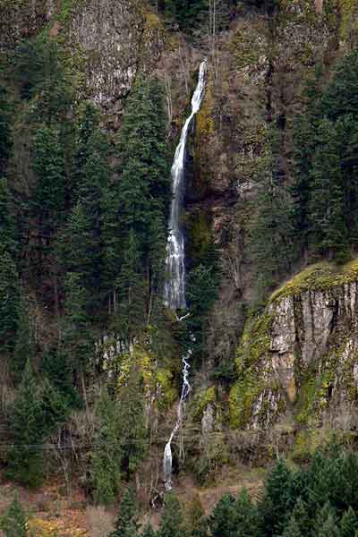
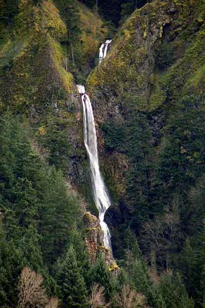
Last on the list was Harrison Falls on Lindsay Creek. I had seen this falls dozens of times driving by on I-84, but never stopped. It's roughly 500 ft off the interstate. To get shots of the whole thing, one must take a shot of the lower tier from the western side, then hike back to the highway, cross the culvert, and then climb up the steep east side to get a view of the upper tier. The west side is flat, the east side just the opposite.

Harrison Falls
Image

Wide view
Image

Here was my best effort at seeing the upper tier from the west. The rain was still pounding and I really didn't want to climb up the steep eastern side, but alas I would've been kickin myself later for being lazy.
Image

After hiking back to the highway, I crossed the raging creek on the culvert, and headed about 100 ft elevation up the 70+ degree east slope. Didn't find any game trails, so the goin was slow. I made it up to the power-line 'clearing', which was insanely thick as usual. From there I worked my way to a viewpoint of the 18 ft upper tier. My photos make it look small though. Here's upper Harrison Falls.
Image

Cropped
Image

This falls was a beauty. I stayed an extra bit to admire the rocks and the deep splash pools.

From here it was getting dark, so we headed back. Along the way, I grabbed a shot out the window near Dodson showing the seasonal stream flows.
Image

Last but not least, we stopped in at Multnomah in the dark 'cause it was roaring as hard as we'd ever seen it. These next two pictures are long exposures in the dark, just trying to show the flows today.
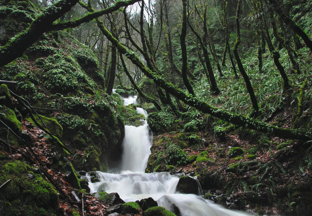
Image

Shady Creek
Image

Happy trails.
Last edited by BrianEdwards on December 14th, 2010, 11:57 pm, edited 11 times in total.
Clackamas River Waterfall Project - 95 Documented, 18 to go.

User avatar
Crusak
Posts: 3617
Joined: August 6th, 2009, 7:33 pm
Location: Oregon

Re: Harrison Falls, Camp Benson Falls, + others 12/14

Post by Crusak » December 14th, 2010, 9:44 pm

My novice/noobish eyes don't see the stuff you mentioned - to me you have some great pictures. photography isn't my thing though. Your new camera - what type do you have? is it an SLR or a DSLR or a point-n-shoot?

It looks like you had some fun scrambles for up-close shots, mixed with fantastic views of falls from the road. nice! need to add some east gorge trips to my January hiking (which is probably when I'll be able to get out again)
Jim's Hikes

Solvitur Ambulando

User avatar
BrianEdwards
Posts: 2405
Joined: February 2nd, 2010, 1:32 am
Location: Oregon City, OR
Contact:

Re: Harrison Falls, Camp Benson Falls, + others 12/14

Post by BrianEdwards » December 14th, 2010, 9:58 pm

Thanks Jim. I'm shooting with a Nikon D90 DSLR. Probably way to much camera for me, but I found a deal I couldn't pass up.
Clackamas River Waterfall Project - 95 Documented, 18 to go.

User avatar
Splintercat
Posts: 8334
Joined: May 28th, 2008, 10:03 pm
Location: Portland
Contact:

Re: Harrison Falls, Camp Benson Falls, + others 12/14

Post by Splintercat » December 15th, 2010, 9:30 pm

Nice report, Brian. Weird observation: did you smell a dead carcass at Cabin Creek Falls? I definitely did, and it sort of creeped me out. Out in the woods, I'd just figure it to be a dead deer, at worst a cougar kill. But a few dozen yards from I-84...? Hmm... :?

User avatar
BrianEdwards
Posts: 2405
Joined: February 2nd, 2010, 1:32 am
Location: Oregon City, OR
Contact:

Re: Harrison Falls, Camp Benson Falls, + others 12/14

Post by BrianEdwards » December 16th, 2010, 1:45 am

Yes I did Tom, the east side of Cabin Creek smelled rotten. Just so happens the east side is the side to take pictures from. Crazy observation!
Clackamas River Waterfall Project - 95 Documented, 18 to go.

User avatar
jdemott
Posts: 651
Joined: July 23rd, 2010, 1:43 pm
Contact:

Re: Harrison Falls, Camp Benson Falls, + others 12/14

Post by jdemott » December 16th, 2010, 10:20 am

Great report and nice photos, Brian. I looked at the EXIF data on your files. Although the camera is set to the Standard Picture Mode, it looks like the saturation and sharpness settings have been turned up to High. If you go to the camera's menu system, and select the shooting menu, the first item should be Set Picture Control. If you select that with a right click on the 4-way switch and then a second right click you should be able to set the saturation setting for standard picture mode back to the default setting of neutral.

If you have a raw conversion program that will properly read the camera settings and use the Standard Picture Mode with the saturation settings at neutral, you should get a very natural look without having to adjust saturation. The EXIF data shows that you are processing with Paint Shop Pro, which I'm not familiar with. In Photoshop (actually in the Adobe Camera Raw converter), you have to select the proper camera profile to have the program read the Raw file as the camera intends. If you haven't shot a Nikon DSLR before, you might want to look at Nikon Capture NX2 software (available for a 60-day free trial) that will let you directly see and adjust the camera settings on your Raw files (and a lot more). You can also use the free Nikon program View NX2 that lets you do some very basic raw adjustments and would certainly let you verify that you're getting the look that is set in the camera.

User avatar
BrianEdwards
Posts: 2405
Joined: February 2nd, 2010, 1:32 am
Location: Oregon City, OR
Contact:

Re: Harrison Falls, Camp Benson Falls, + others 12/14

Post by BrianEdwards » December 16th, 2010, 1:33 pm

Thanks John. That pretty much explains everything really. I was wondering why on earth these pictures were comin out so sharpened and saturated that they practically look computer generated. Sure, to the casual looker, they were fine. But to me, they definitely didn't show what I was seeing in person at the time I took 'em. I'll try your tips when I head out this weekend and see how things end up! Thanks again, John.

Brian
Clackamas River Waterfall Project - 95 Documented, 18 to go.

User avatar
chameleon
Posts: 1795
Joined: May 28th, 2008, 10:03 pm
Location: Oregon
Contact:

Re: Harrison Falls, Camp Benson Falls, + others 12/14

Post by chameleon » December 16th, 2010, 4:20 pm

Great report Brian! Those streams are swollen! Cabin Creek really is a tough one to shoot. As you say, that giant boulder pretty much blocks the view. I'm thinking it might be better to shoot it with a telephoto from the WA side. Harrison Falls is a cool one too, huh.

User avatar
Splintercat
Posts: 8334
Joined: May 28th, 2008, 10:03 pm
Location: Portland
Contact:

Re: Harrison Falls, Camp Benson Falls, + others 12/14

Post by Splintercat » December 16th, 2010, 9:47 pm

I was just thinking about that, Zach -- here are some photos of all four falls in this group from across the river in winter 2008, and you do get an excellent sense of scale and proportion that is impossible from up-close:

Cabin Creek Falls:

Image

Lancaster Falls:

Image

Starvation Creek Falls (revealing the upper tiers):

Image

Warren Falls (dry):

Image

-Tom :)

User avatar
CuriousGorgeGuide
Posts: 260
Joined: March 28th, 2010, 10:48 am

Re: Harrison Falls, Camp Benson Falls, + others 12/14

Post by CuriousGorgeGuide » December 20th, 2010, 4:19 pm

Brian, yeah, I agree that the way up to Summit Creek's falls is NOT staying left of the first 10-foot cascade---yikes! The way to go is to cross the creek there and go up the relatively east right side. Have you ever parked a quarter-mile east of where you did and walk the uber-mossy "lost" section of the HCRH back towards Summit Creek's gully?? I described it as a scramble-route as a loop in my newest edition.....but I never intend people to try to do it when the creek is in full rage. My favorite aspect of the falls, by far, is the sweet nurse-stump at the base of the falls. You can climb up and sit on the stump and lean back against the little tree. A true Gorge throne by my standards!!
Also, good call on that Wa Falls that you can only see from Viento park! It's not as seasonal as you'd think. it makes its final 8-foot drop almost right onto Hwy 14, but it's really tricky to find. But as you pass in June/July you can get a quick glimpse to see if water is still in the creek. If you want to find it just poke 'round near the bottom of Cook-Underwood Rd.
And, Tom, thanks for the pic of dry Warren Falls---i love it!!.....scott

Post Reply