
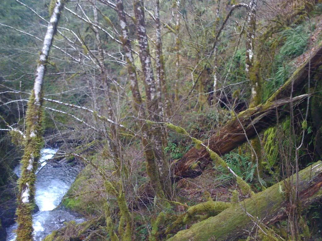
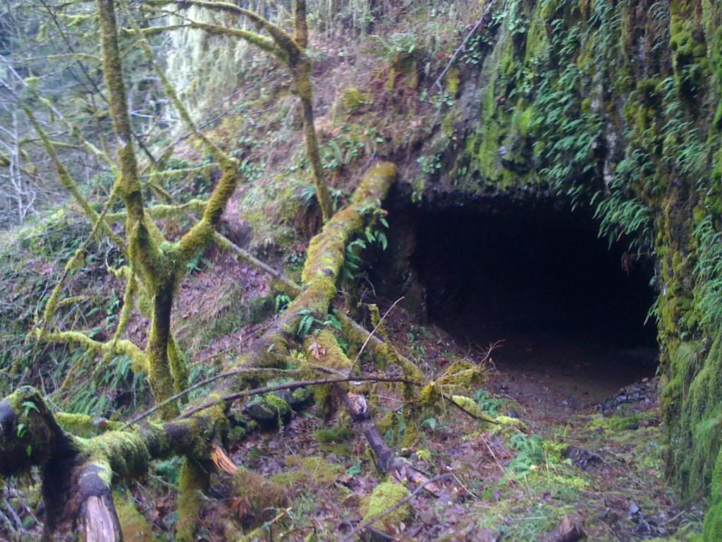
Continue down this old road til you can see its end, then turn and head down hill, angling slightly right. Once you are about 10 feet up from the water, head down stream at this elevation til you get to a man-made bench in the hill, the first tunnel will be in sight shortly. Here's the bench.
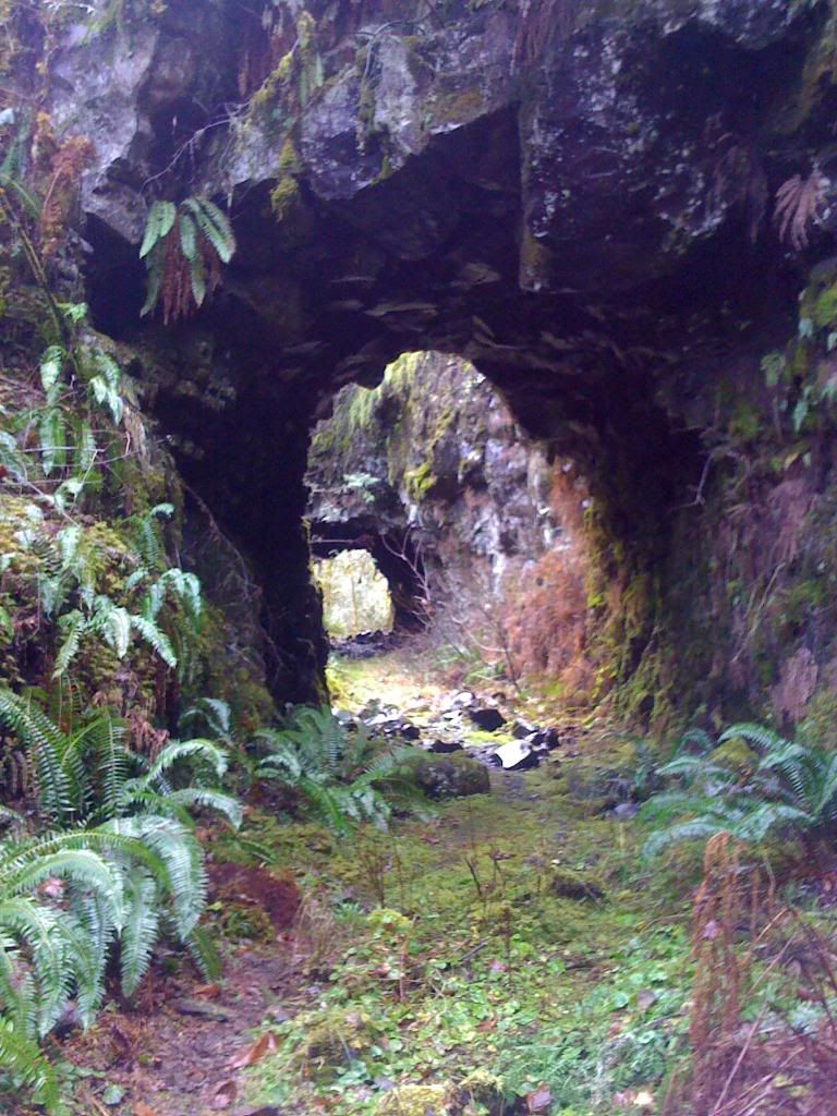
Here's a closer look at the top of the tunnel.
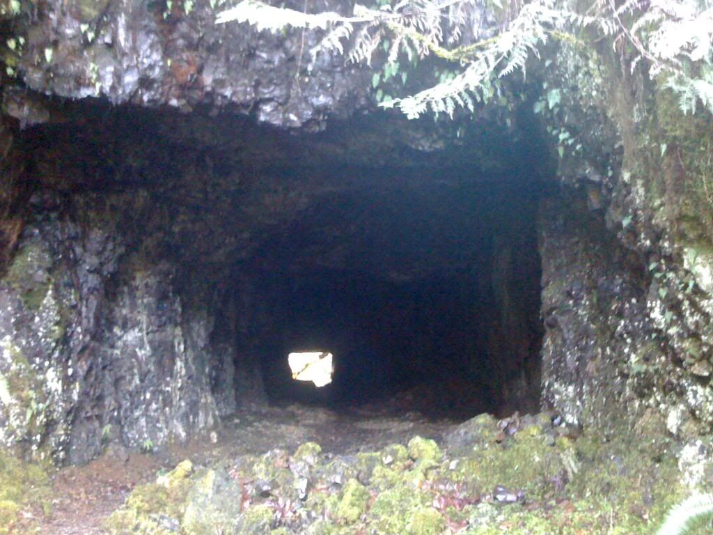
Make your way through the tunnel, which is big enough to fit a car or pickup through. Its around 100 feet long. Here's a view from the other end looking back.
Continue down the old road about 100 feet and find a good place to make your scramble down to the creek. Memaloose Falls is down and to the left. Here's where I made the scramble.
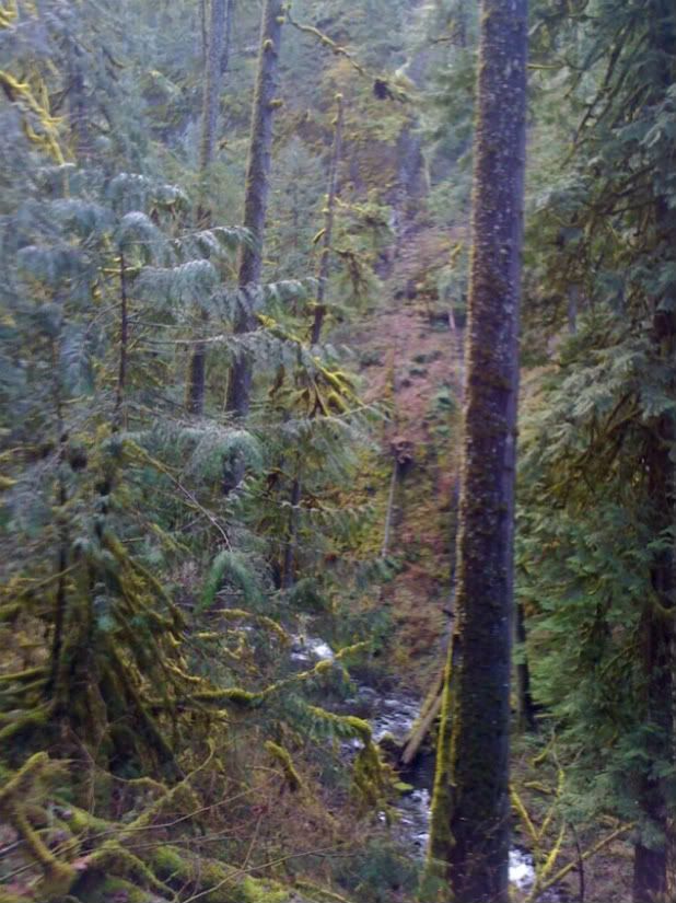
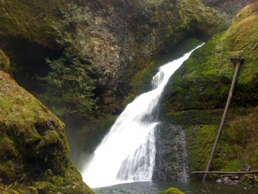
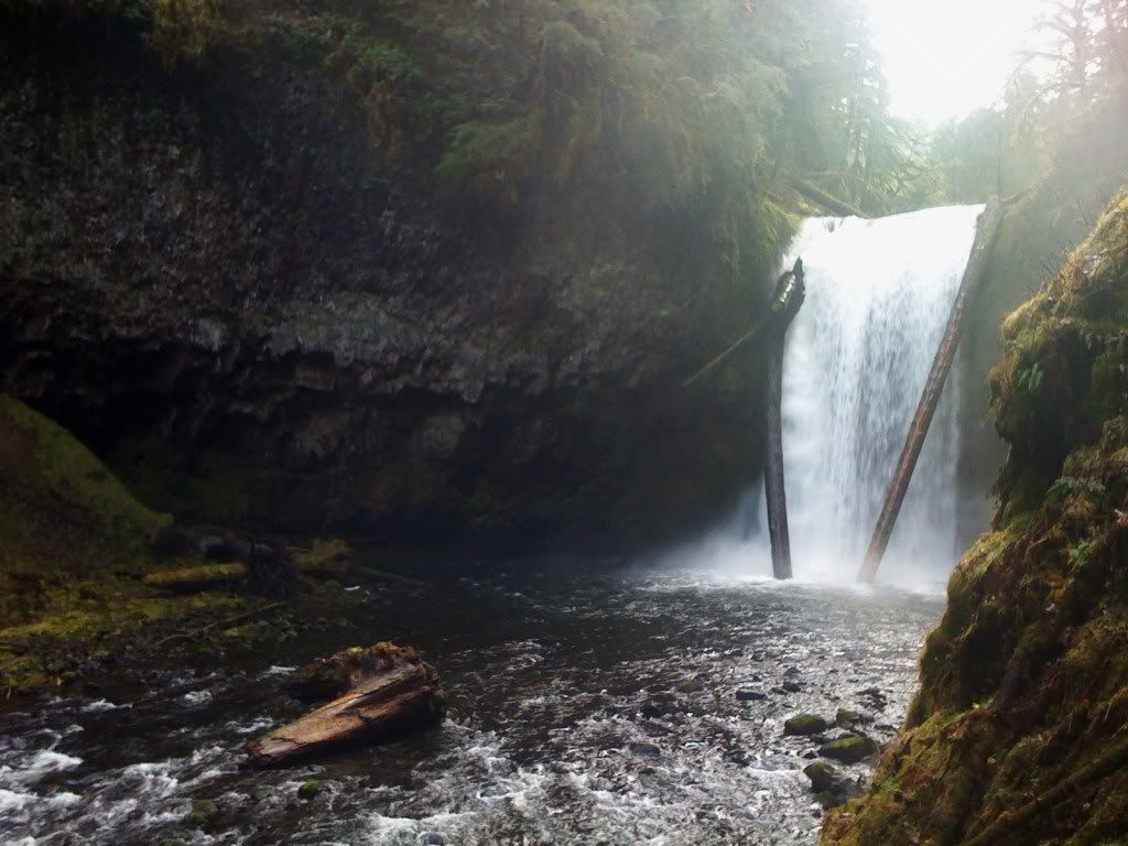
Make sure you angle to the left at a 45 degree or better, don't get to the water too quick, as you'll be forced to climb back up. Continue on and Memaloose Falls will come into view. Here it is.
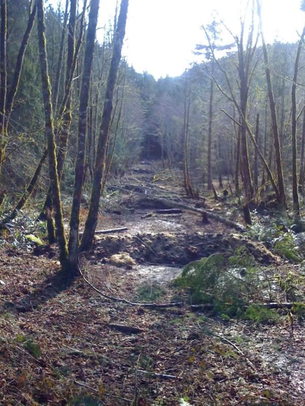
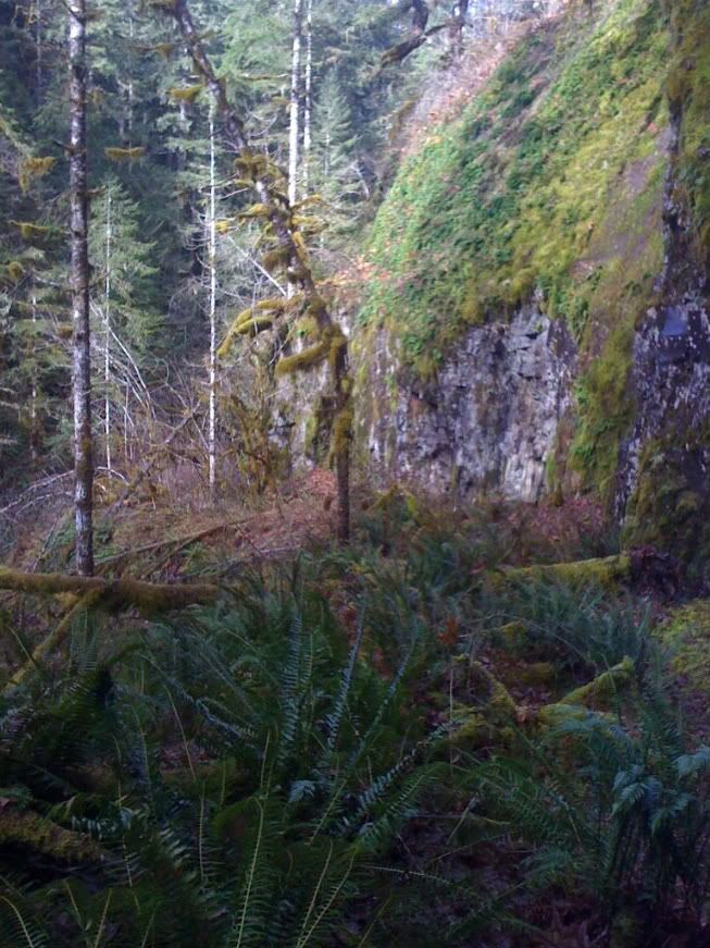
Once you have your fill, turn back and head to the road. This part isn't fun but do-able. Once back on the old road, continue on. Here's a pic of the road.
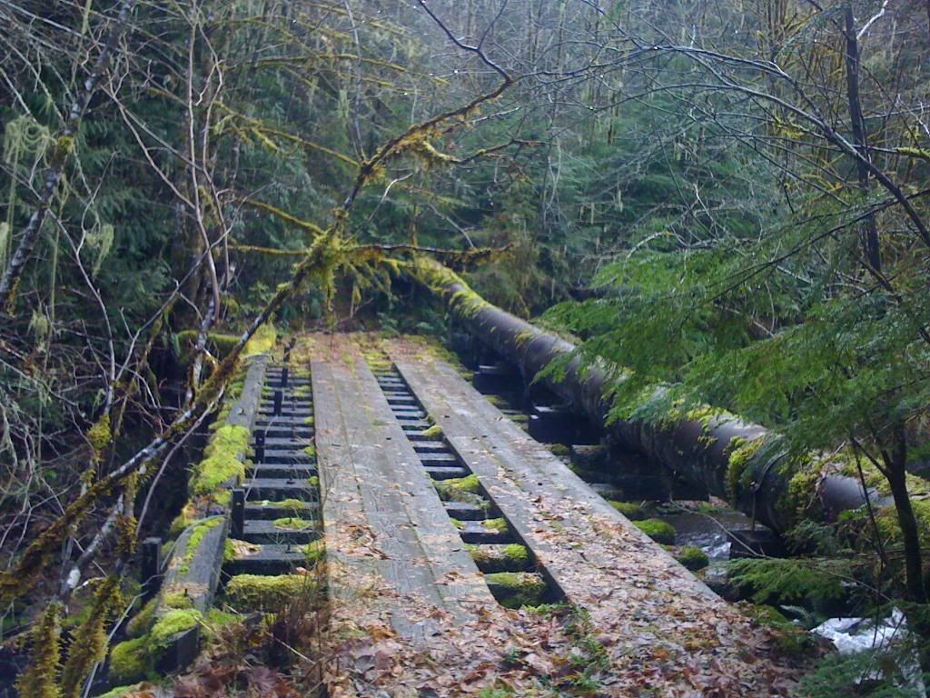
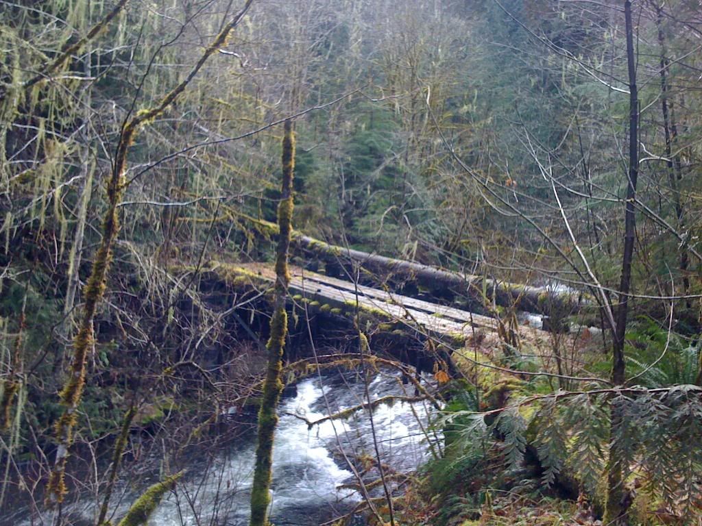
After ~1/4 mile, you'll come to the bridge over the South Fork Clackamas River. The immediate end of the bridge is washed out approx. two feet from the bank so a small jump is in order. Here's the bridge.
Another view of the bridge looking upstream.
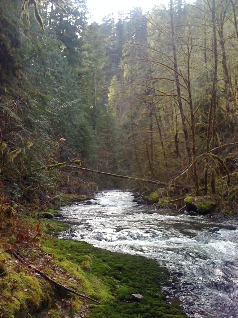
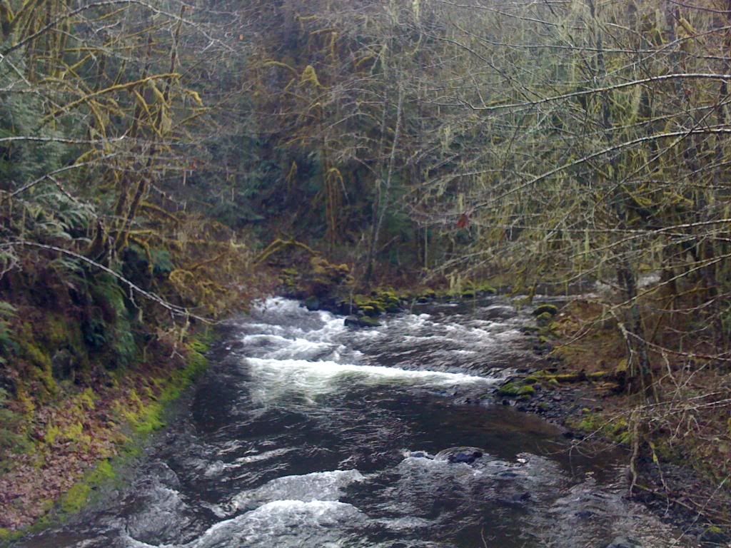
Now you have a decision to make. The road forks on the west side of the bridge. Left takes you up to the infamous rotten log bridge and the 300 ft upper tunnel. Right takes you to the lower falls and a set of double tunnels. BUT if you want a picture of the big 120+ ft tall Clackamas Falls, you must turn back. That's what I did. Turn back, cross the bridge, and in 50 feet, on the right is an old spur road down to Memaloose Creek. Take this spur and ford the creek. Its only 10-14 inches deep but its movin and wide enough it will get you wet. Once across, head downstream and then turn up the South Fork Clackamas River. The walking here is fairly easy but there are two scrambles up the bank to avoid deep pools. Here's a view looking upriver.
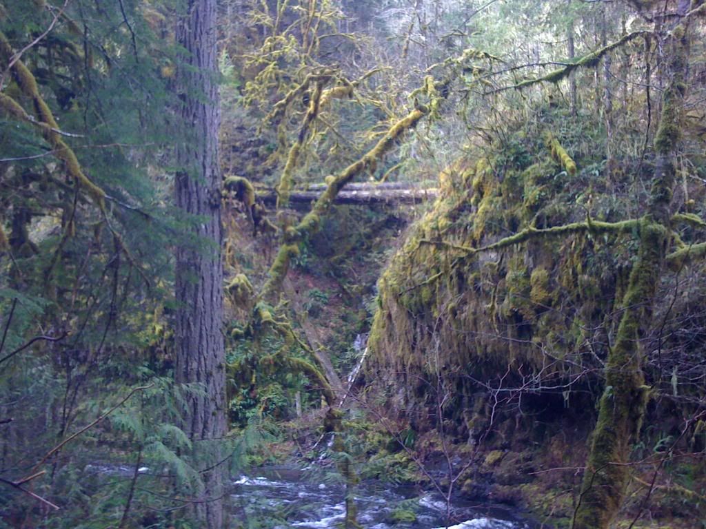
At the site of the last scramble, you can see the rotten log bridge across from you about 60+ feet up the hill.
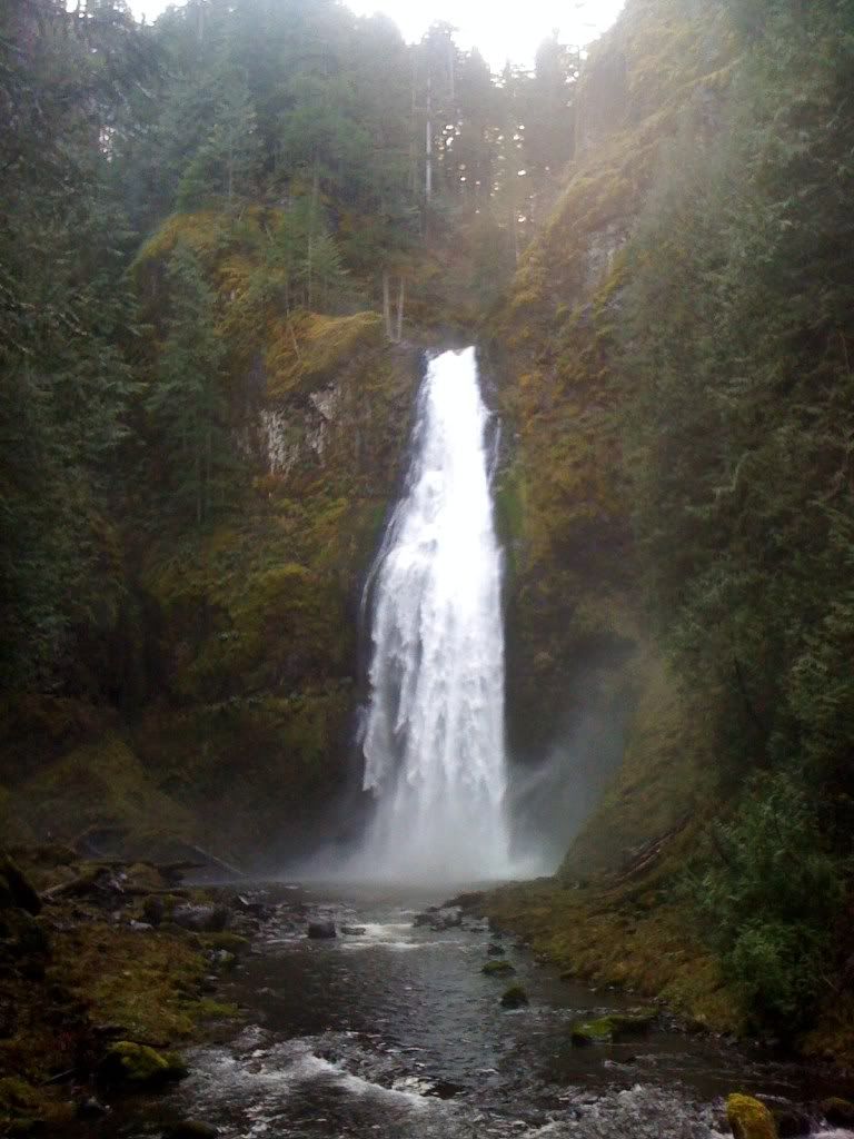
Another 200 feet and you're at Clackamas Falls. This waterfall is quite a site.
Once you get your fill of the falls, head back downstream. Re-ford Memaloose and cross the bridge. On the bridge you can see where Memaloose Creek flows into the South Fork. Here's a shot from the bridge looking upstream.
To get to the lower falls, turn right and head down river. in about 1/4 mile, you will get to the double tunnels. Here's a view of the tunnels looking back upriver.
About 50 feet outside the last of the two tunnels, you'll see a faint trail leading down to the water. Bail off and follow this to water's edge and the Lower Clackamas Falls will come into view. Here it is.
After getting your fill, head back the way you came. Cross the bridge, continue up the road, and back through the Memaloose tunnel. The hardest part of the whole trip is the scramble from this tunnel back up to the spur road. I've done it twice and both times I've said never again. Numerous slides make this a tricky climb.
All in all, I did this hike in 2 hrs and 42 minutes, but this was speed hiking. I didn't go to the forth and longest tunnel by the log bridge due to time constraints. There are two more impressive falls above this other tunnel that need a route scouted to/from. But until then fellow hikers, be safe and I'll be seein ya!


