Vista and Pinnacle Ridges Loop (with Pinnacle) - 07-31-2013

This forum is used to share your experiences out on the trails.
Post Reply
pablo
Posts: 1451
Joined: May 28th, 2008, 10:03 pm

Vista and Pinnacle Ridges Loop (with Pinnacle) - 07-31-2013

Post by pablo » August 1st, 2013, 11:51 am

This hike started in July of 2010 where I'd planned on making a loop on Vista Ridge to return on Pinnacle Ridge trails starting from Laurance Lake. I did not make it to Wy'East Basin but bailed early on to take a miserable road walk back to where I'd parked at Clear Branch Dam - you can see that report here. The route with this hike (as the one in 2010) was to cross Clear Branch Dam, take the Laurance Lake High Loop Trail (not a loop), bushwhack over to the former Red Hill guard station, on to the Old Vista Ridge Trail, Vista Ridge, cross Wy'East Basin, and return on Pinnacle Ridge trail with a stop at The Pinnacle.

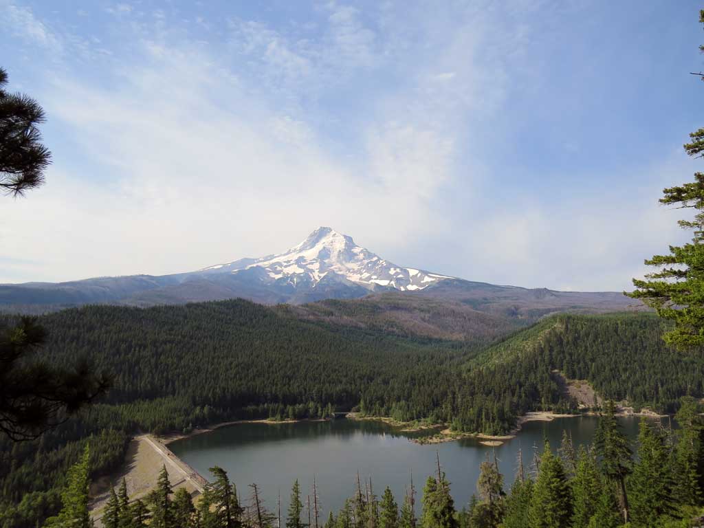
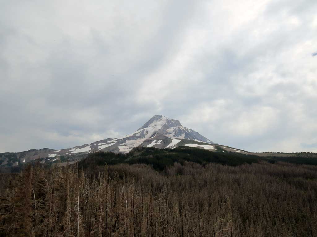
Not wanting to leave my vehicle alone at the end of some forest road, I paid the $5 and parked at the Kinnikinnick (Laurance Lake) Day Use Area just so I wouldn't be thinking about it while hiking. I crossed the Clear Branch Dam and headed north up the well graded but many-switched-back Laurance Lake High Loop Trail - don't ask me why the 'Loop' part is in there, maybe there was a larger plan at one time. It is nice trail and maintained by the FS per their info page on this trail (last time was in 2012). There are nice views on the way up like this one of Hood - no solid blue sky on this day and a bit hazy:

Image

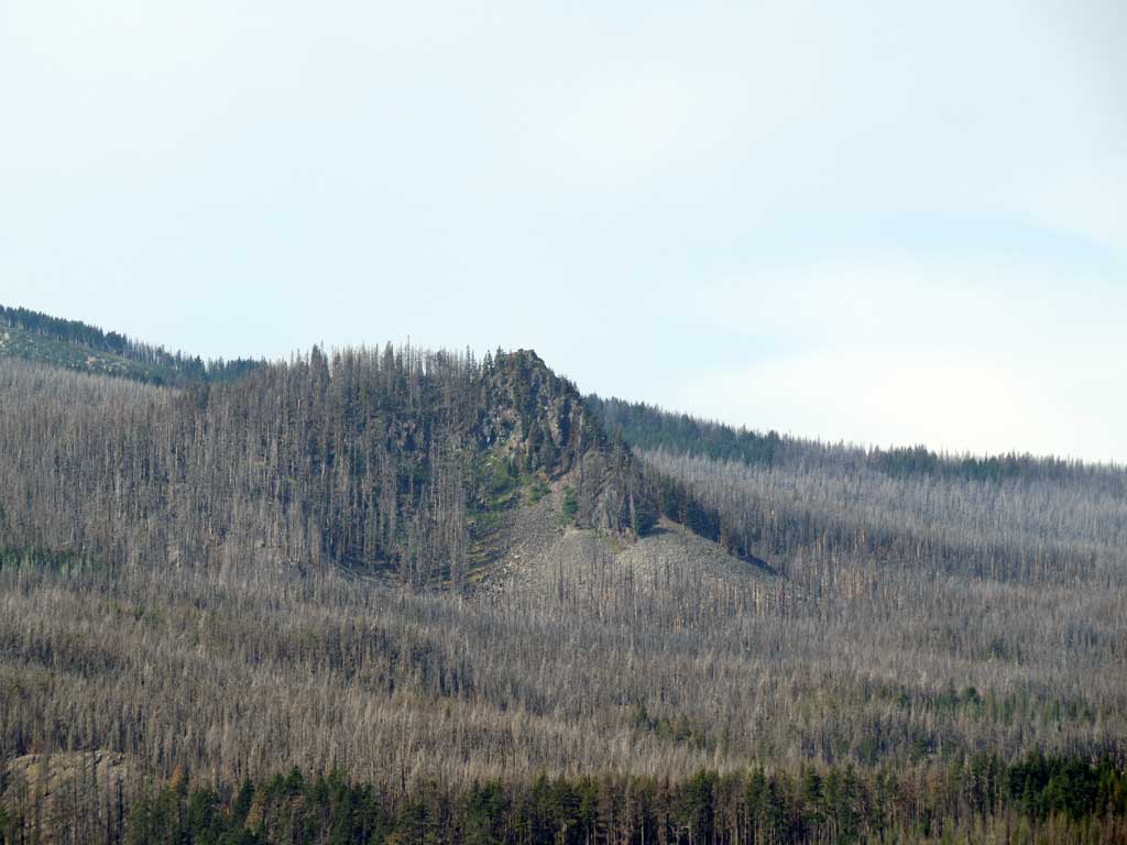
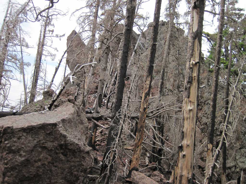
A long way off was my bonus feature for the day, The Pinnacle:

Image

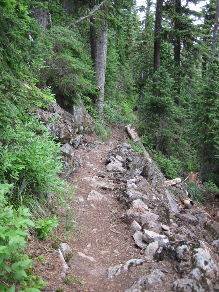
The trail is in excellent shape, some minor blow down once on the ridge above Laurance Lake.

Image

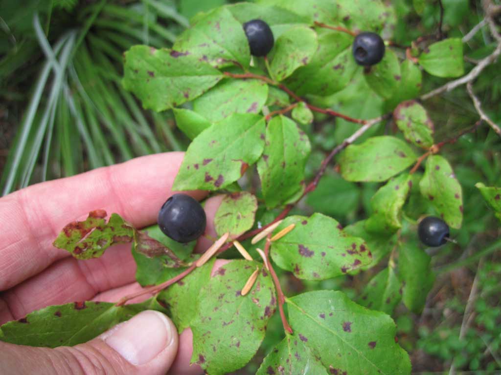
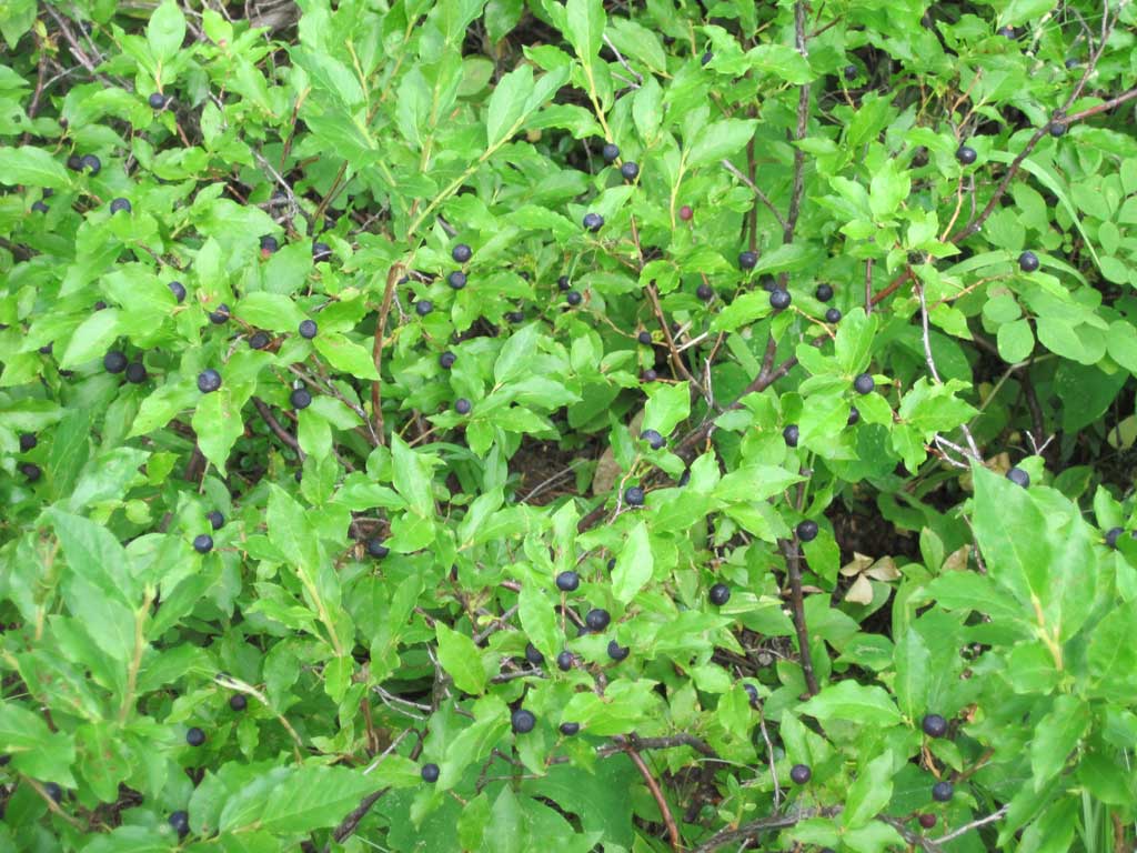
Once on the ridge lots and lots of huckleberries made for a luscious treat - some were really huge, like store bought blueberries.

Image

Image

I traveled on to the end of the trail, did the short road walk to the end of road and the easy, well flagged bushwhack to the foundations of the old Red Hill guard station. From here it was on to the Old Vista Ridge Trail - in most excellent shape and from the looks of footprints seeing some action. Wouldn't it be nice if the Laurance Lake High Loop and the Old Vista Ridge Trails were connected and some trail built to return to Laurance Lake.

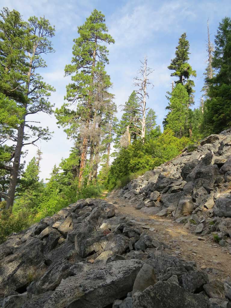
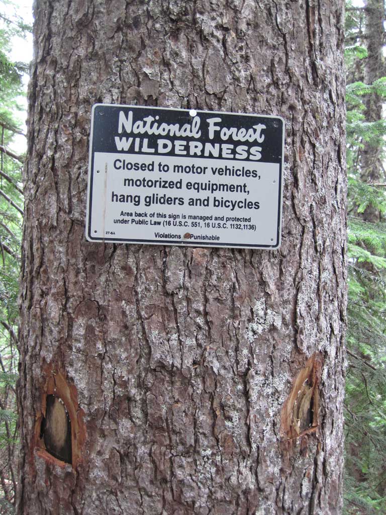
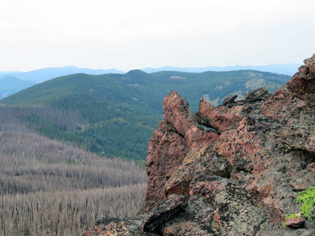
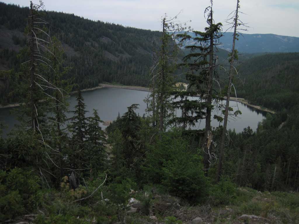
Views along Old Vista Ridge Tr are really nice - along with Owl Pt (which I skipped this trip) and the Rockpile there are others just off trail. I can't believe the FS wanted to abandon this piece of trail - especially since it forms the wilderness boundary. A piece of the Old Vista Ridge Trail:

Image

Along the way are signs indicating the wilderness boundary, with additional blaze(?). Seems like every tree that had a sign also had blaze - I would guess the blaze is to indicate the presence of a sign tree were the actual sign to go missing.

Image

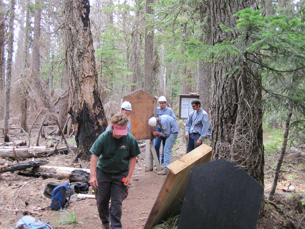
I admired the new signage on the trail, hope it lasts. At the intersection of Vista Ridge there was a FS work party doing work on signs and the wilderness registration box.

Image

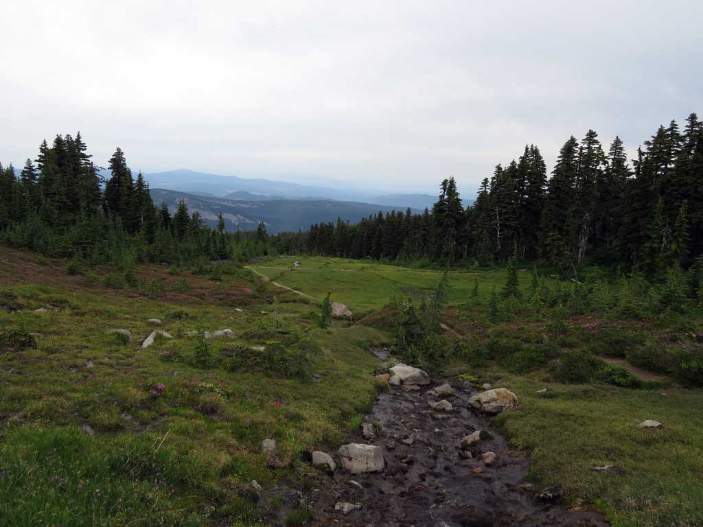
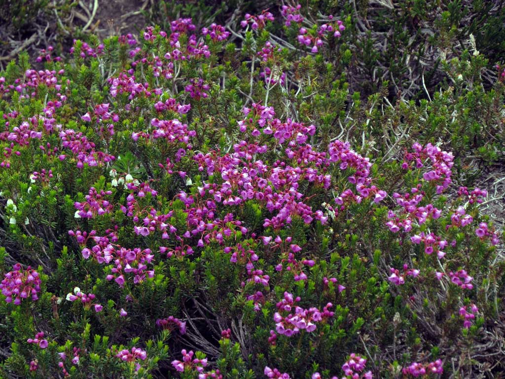
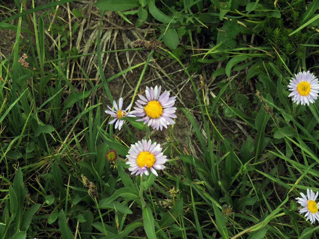
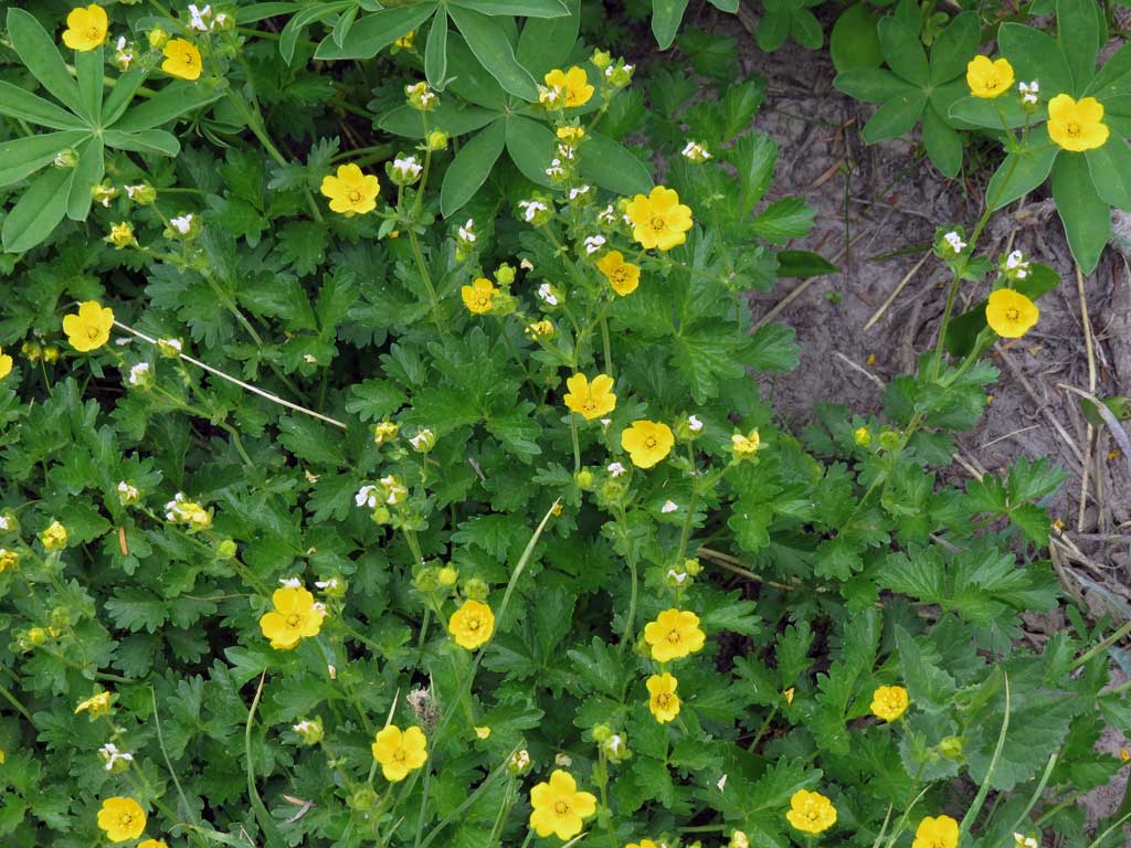
I marched through the burned area and shortly arrived at Wy'East Basin - never been there before, pretty place, lots of flowers.

Image

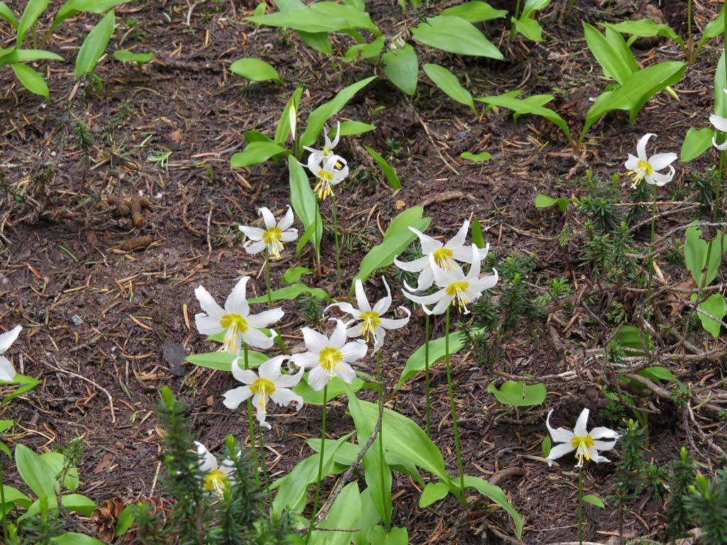
Glacier Lilies are going to seed but there are still patches.

Image

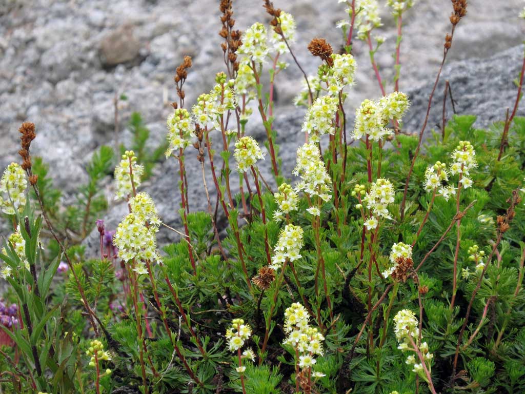
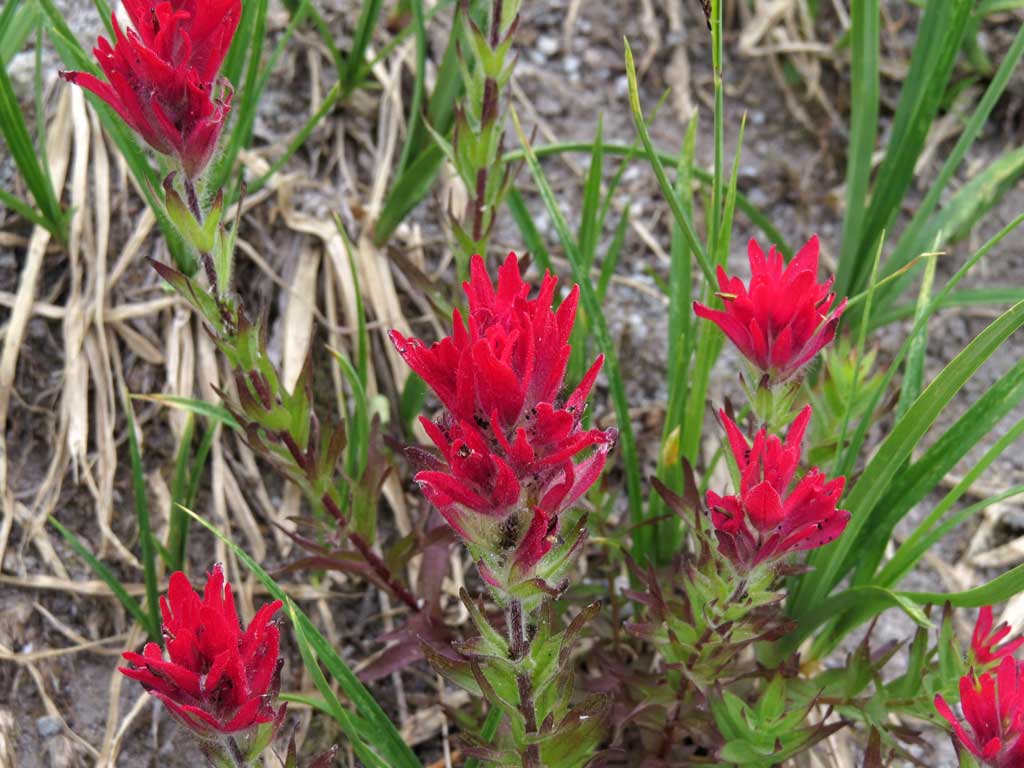
Lots and lots of flowers:

Image

Image

Image

Image

Why is the paintbrush on Mt Hood so brilliantly red?

Image

Image

I hung around the basin for a while and gulped gallons of icy snow melt bubbling from the ground and admired the views close up and far away. Moving on, I headed down Pinnacle Ridge trail, past the boggy swamp part and headed for The Pinnacle. I don't recall reading any information or trip reports out there about The Pinnacle - so I had no clue what to expect. I decided to approach from the south through a tangle of burned out brush and trees. Was not a bad bushwhack to get there. Here's my first good look - seemed daunting at the time:

Image

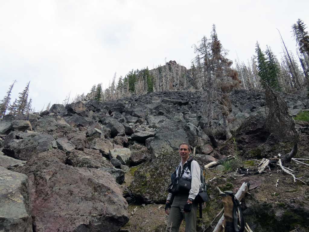
On the way there it started to sprinkle from the darkening clouds overhead - the weather report had said something about possible thunderstorms so I'd basically be a lightening rod once on top if something like that were to happen. Since I did not see any lightening nor hear any thunder I dropped my pack at the base and did a short scramble to get on a ledge of the Pinnacle. From there I just went from ledge to ledge around the west side and soon found myself at the top - not hard at all, rock is solid, still a little scary for me.

Looking back toward Hood from The Pinnacle:

Image

Off to the north - the rock is a nice reddish color.

Image

Lots of huge boulders - some VW sized - have fallen off this thing. Here's a look back:

Image

I made my way off on a slightly different route than I took going up - likely there are several routes. The way down to the north is steep and dusty but brush free.

I made my way back to the Pinnacle Ridge TH and did the 1.2 mile road walk to the ridge above the Kinnikinnick Day Use Area and my rig. The way off the ridge is clear but very steep with a loose talus slope to negotiate just before the road.

Image

Nice day and loop, made better time than I expected and could have gone up Barrett Spur for some extra EG. The Pinnacle was a lot of fun.

~16 miles, ~3900' cumulative EG, ~8.5 hours.

Image
The future's uncertain and the end is always near.

User avatar
Splintercat
Posts: 8333
Joined: May 28th, 2008, 10:03 pm
Location: Portland
Contact:

Re: Vista and Pinnacle Ridges Loop (with Pinnacle) - 07-31-2

Post by Splintercat » August 1st, 2013, 8:42 pm

Nice report, Paul! Much improved over your earlier version (and the overgrown logging roads)! :D
Wouldn't it be nice if the Laurance Lake High Loop and the Old Vista Ridge Trails were connected and some trail built to return to Laurance Lake.
I have to think the newish Laurance Lake loop was planned with that in mind, but perhaps for bicycles? Possibly using one of the old logging roads for the return? I have a hunch the Mount Hood Wilderness additions put a kink in those plans, as the entire upper Clear Branch Valley is now closed to bicycles, thus making a bike loop REALLY long (as in, via Government Camp) ;)

It still makes for an interesting backpack/long hike option from the campground, though. I ran into a group from Olympia Washington at Elk Cove last Sunday, and they were camped at Kinnikinnick CG, so I think it's fairly common for people to use that as a base for the north side.

Thanks for posting!

Tom :)

User avatar
Guy
Posts: 3333
Joined: May 10th, 2009, 4:42 pm
Location: The Foothills of Mt Hood
Contact:

Re: Vista and Pinnacle Ridges Loop (with Pinnacle) - 07-31-2

Post by Guy » August 2nd, 2013, 6:44 am

Great report Paul, I think that's the first Pinnacle scramble reported on PH!
hiking log & photos.
Ad monte summa aut mors

User avatar
Sean Thomas
Posts: 1647
Joined: February 25th, 2012, 11:33 pm

Re: Vista and Pinnacle Ridges Loop (with Pinnacle) - 07-31-2

Post by Sean Thomas » August 2nd, 2013, 8:09 am

Nice TR, Pablo. I love the free store bought blue berries still on the bush, it doesnt get much better than that :)

User avatar
bobcat
Posts: 2768
Joined: August 1st, 2011, 7:51 am
Location: SW Portland

Re: Vista and Pinnacle Ridges Loop (with Pinnacle) - 07-31-2

Post by bobcat » August 2nd, 2013, 1:08 pm

Great loop. Maybe I'll use part of it to access Red Mountain/Owl Point a "different" way some time. Not sure why the Laurance Lake High "Loop" even exists. Was it originally to the Red Mt. Guard Station before the roads were built?

User avatar
Peder
Posts: 3401
Joined: May 28th, 2008, 10:02 pm
Location: Lake Oswego

Re: Vista and Pinnacle Ridges Loop (with Pinnacle) - 07-31-2

Post by Peder » August 2nd, 2013, 1:22 pm

Paul - Yet another great loop and the first recorded ascent of the Pinnacle! Congratulations.
Some people are really fit at eighty; thankfully I still have many years to get into shape…

pablo
Posts: 1451
Joined: May 28th, 2008, 10:03 pm

Re: Vista and Pinnacle Ridges Loop (with Pinnacle) - 07-31-2

Post by pablo » August 4th, 2013, 11:13 am

bobcat wrote:Great loop. Maybe I'll use part of it to access Red Mountain/Owl Point a "different" way some time. Not sure why the Laurance Lake High "Loop" even exists. Was it originally to the Red Mt. Guard Station before the roads were built?
The 1938 map shows a lesser standard trail going up from approximately where the Laurance Lake High Loop trail is located and connecting to a trail that went on to the Red Hill GS - the 1946 map does not show this connecting trail. Given the fine condition of the LHLT it is likely the trail was put in along with the dam for some larger recreational purpose and is not part of the older trail seen on old FS maps. The dam is only ~30 years old.

--Paul
The future's uncertain and the end is always near.

Post Reply