
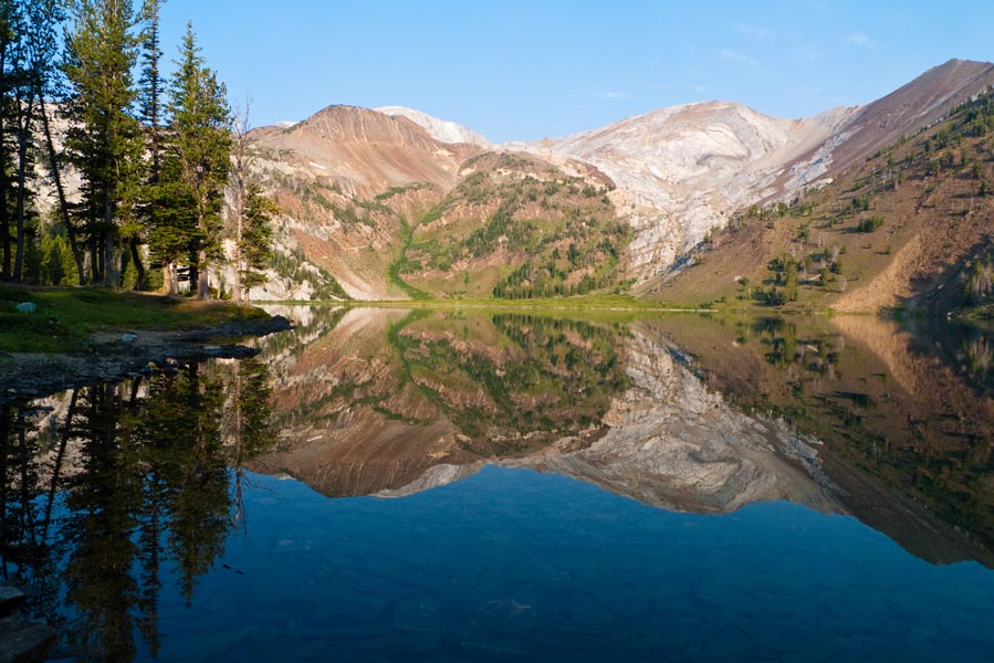
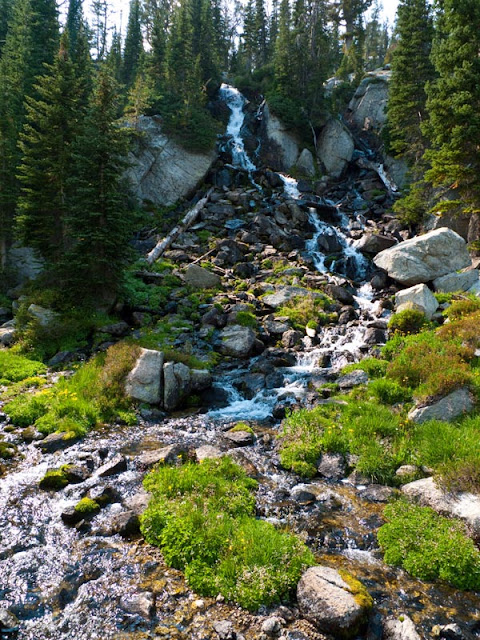
The first day we drove out to Wallowa Lake and hiked in to Ice Lake and set up camp.
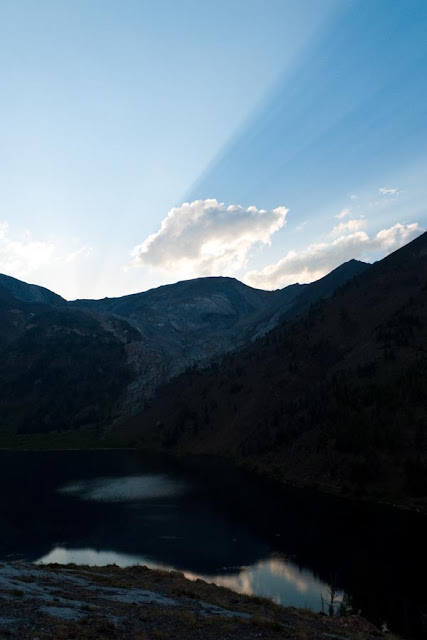
Some interesting light formations at sunset.
The next morning after breakfast, I set off to explore. I went around the back of Ice Lake and then up a scree couloir towards the saddle between Craig Mountain and the unnamed peak to its west (which I'll call 9314 - its height). [Edit: this is called Razzberry Mountain]
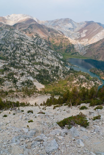
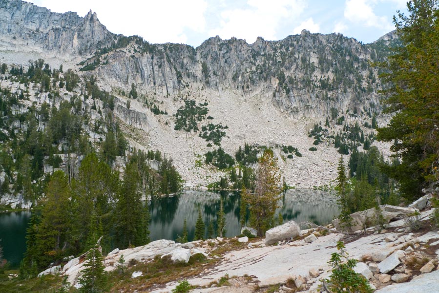
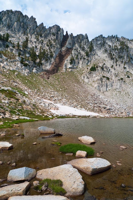
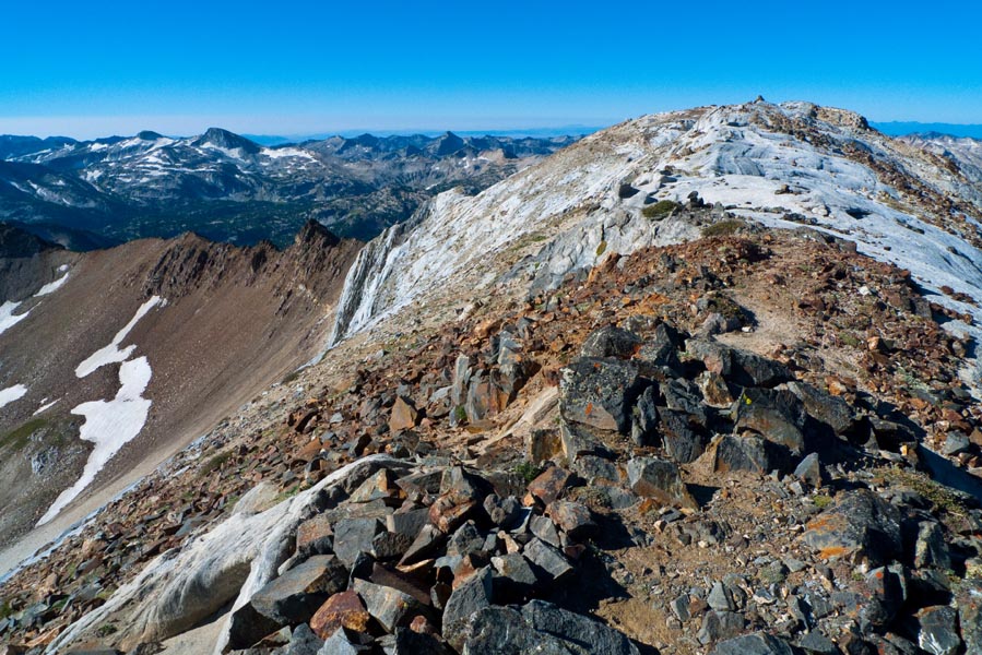
Craig Mountain from our camp on the back of the Ice Lake peninsula. The couloir runs down on the right along the trees to the lake.
Looking back down the couloir.
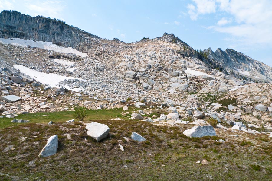
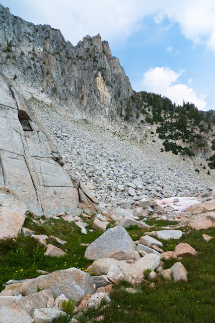
I decided to see if I could summit Craig Mountain, and headed up a scree field below the saddle.
After some steep scree work, I found myself at a false summit. The true summit was still a ways away.
I decided the short trees would be too annoying to try to navigate through to reach the true summit, and I wanted to save more time for Razz Lake, so I turned around and headed straight down to the saddle. This route turned out to be super easy, with firm footing and a mellow grade, so I would definitely go up Craig Mountain this way the next time.
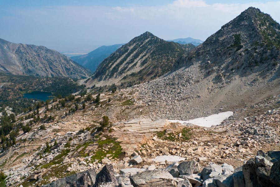
Looking in the direction I was headed across Razzberry towards the prominent gap in the middle of the ridge that would lead me to Razz Lake.
The route down from Craig.
The saddle between Craig and Razzberry.

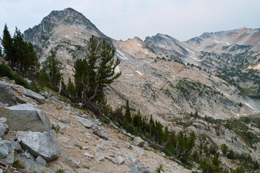
Traversing the slopes of Razzberry. (Matterhorn in the background.)

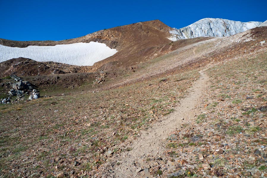
A high meadow en route to the ridge. I decided to head up the slope to the left of the point in the middle of the ridge and see if I could go down to Razz that way.
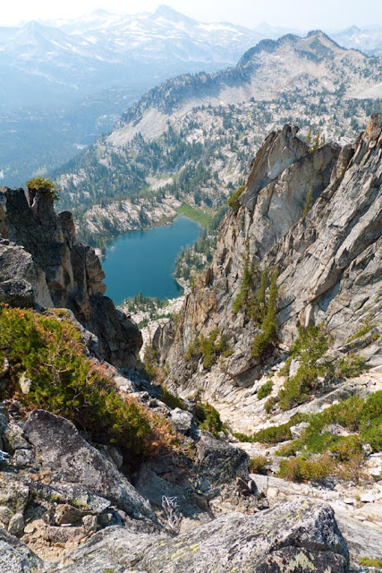
Nope! My first view of Lower Razz, straight down.
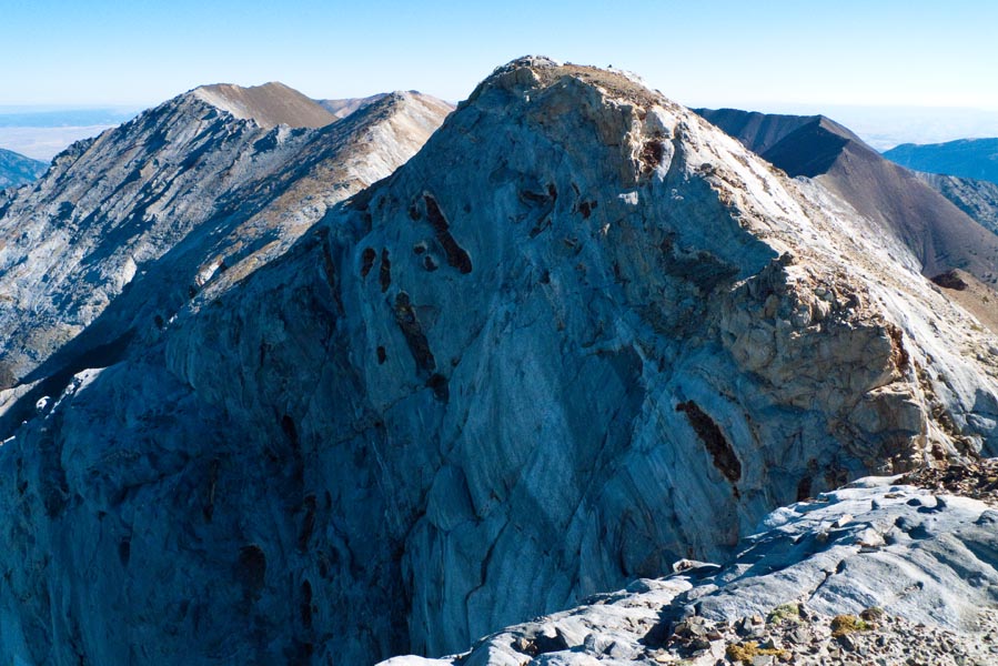
I continued along the ridge towards a pinnacle people on here had discussed as the access down to Razz. From here the scrambling became a little more exciting, climbing over big granite blocks with some exposure.

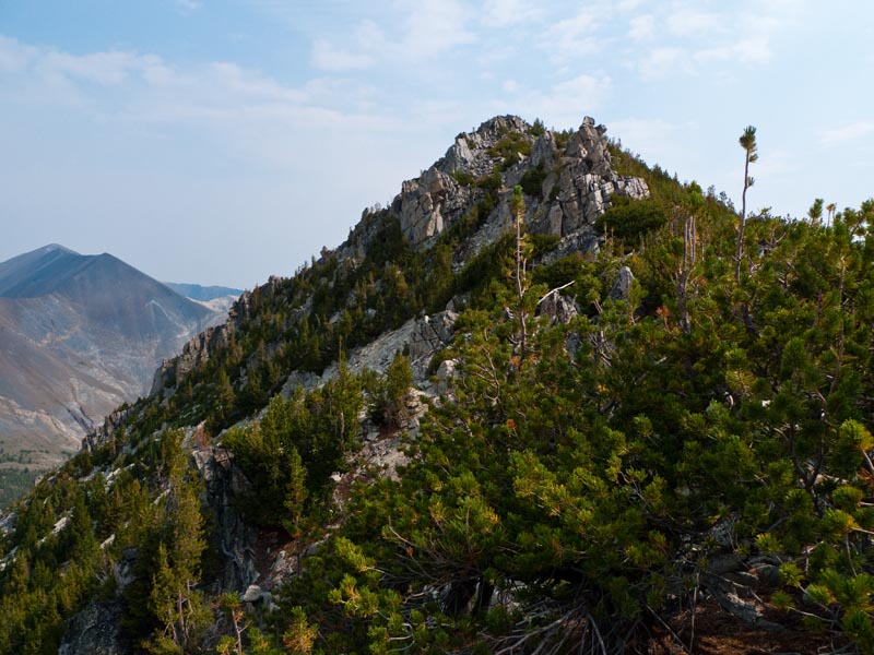
Looking back towards Craig Mountain (L) and Razzberry (R).
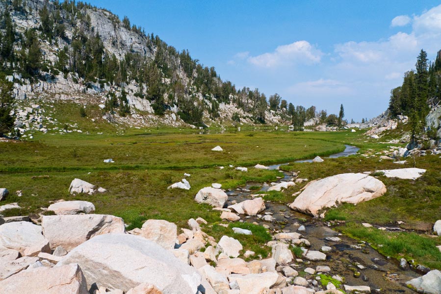
I reached the notch next to the pinnacle in the ridge and found an easy descent through some trees over scree. At the bottom I crossed some big blocky talus and then ended up in more meadowier terrain. I followed a stream as it led down towards Lower Razz.
Looking back up at the pinnacle. The route descends from its right shoulder down the tree-covered hill below it.

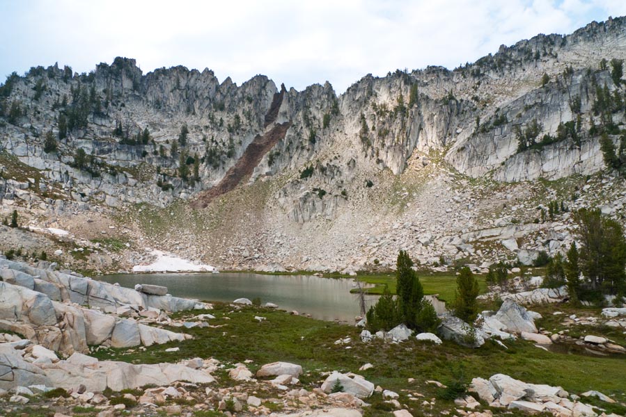
Voila! Lower Razz Lake!
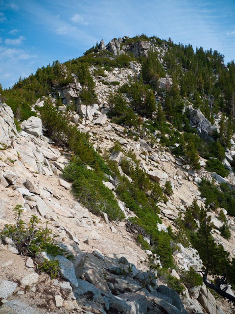
The pinnacle is in the upper left of this ridge, with the route again descending from its right shoulder down that tree covered hill below it, into the talus field.
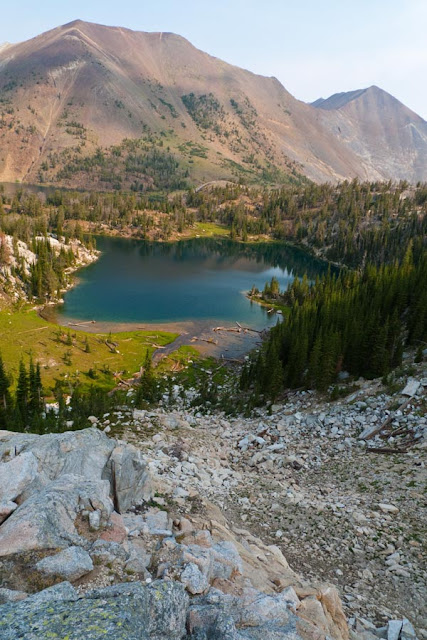
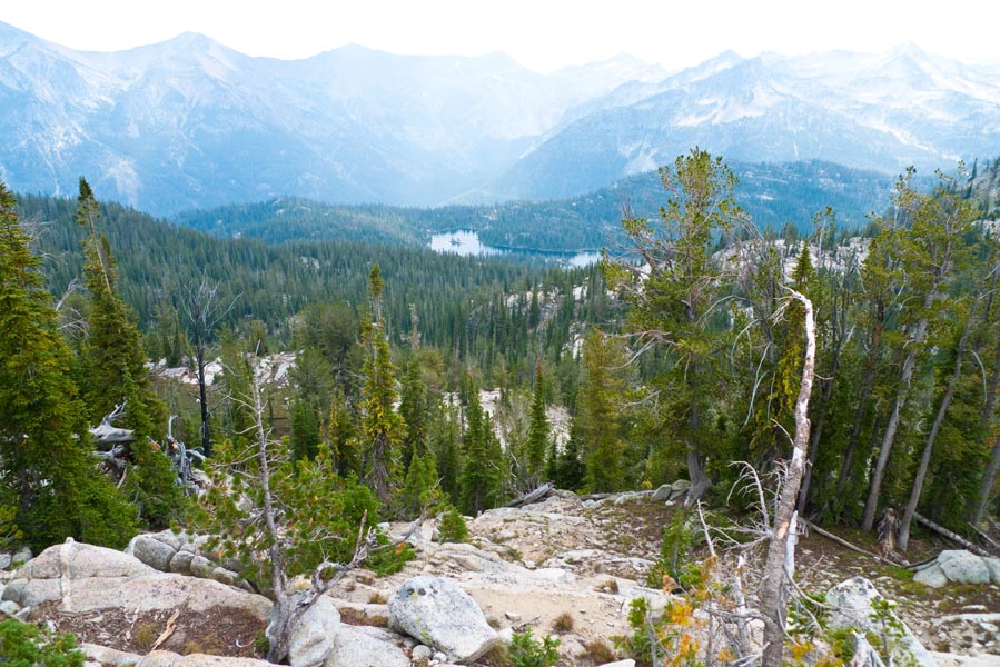
Looking down into the Lakes Basin at Horseshoe Lake. It was a really hazy day and the air on this side of the ridge smelled like forest fire smoke.
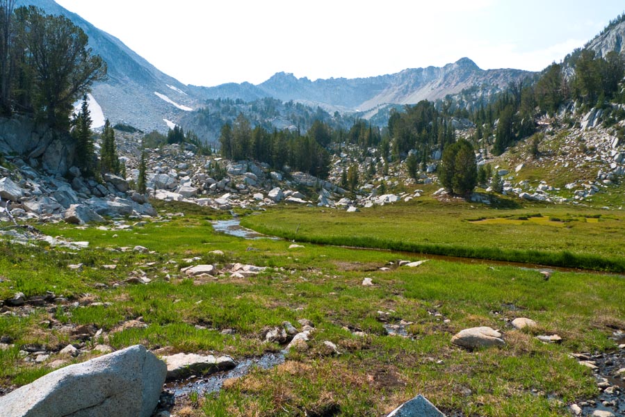
I followed an inlet stream uphill towards Upper Razz.
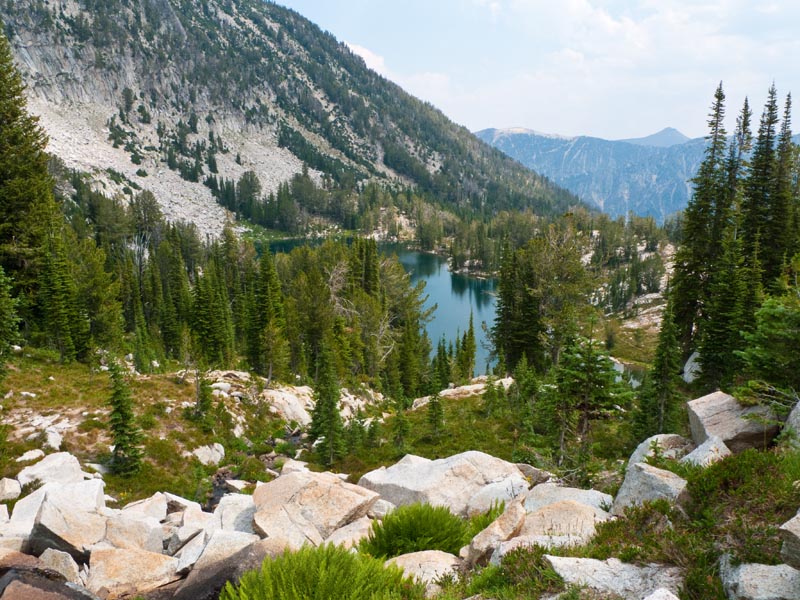

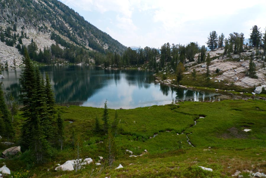
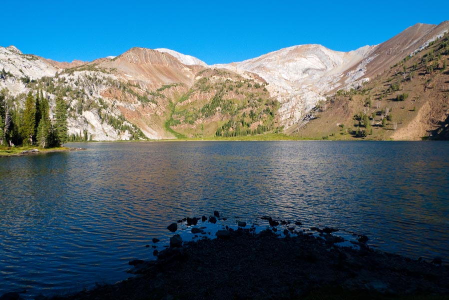
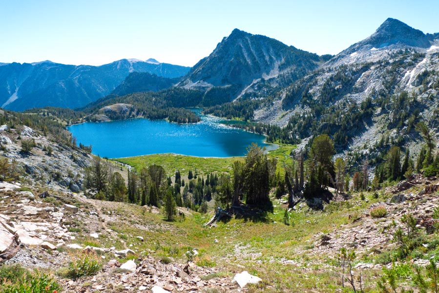
Upper Razz! It's extremely pretty and secluded.

Shockingly, there were three guys at Upper Razz. They were all like, "No waaaayyyyy!" and I was like, "No waaaaayyyyy!" We hung out for a while and discussed how we got there (they'd come up the abandoned trail from Horseshoe Lake), cool places in Eagle Cap, etc. We also watched a mountain goat (the only one I saw all trip) climb up the vertical band of dark brown rock in the ridge above the lake. Those things are crazy.
The weather also decided it was time to rain for five minutes, which it'd done the day before when I'd gotten to Ice Lake. Luckily it stopped pretty much immediately.
After gabbing for a while, it was time to get going back up over the ridge and back to camp. I made my way from Upper Razz over to the base of the notch route.
The talus field and the route up to the notch next to the pinnacle.
Ascending back to the ridge was easy; getting down the other side turned out to be the most challenging part of the route. I'd decided that rather than retracing my steps across the flank of Razzberry and back to the base of Craig Mountain, I wanted to head straight down into a little bowl that held a lake I wanted to check out. However, from the notch, the only viable route was straight down an extremely steep and treacherous scree chute. Little avalanches that went all the way down to the bottom were released as I angled down it, and I quickly decided to hug the rock wall on the right and hang on for dear life as I tiptoed my way down. I had visions of losing my footing and tumbling all the way down to the bottom. Even once the loose and steep section was done, the descent was still steep on blocky talus. It was awful.
Looking back up the chute at the notch.

However, the meadow and lake were nice.
Looking back - I came from around the trees on the left.
I followed the outlet creek from the lake and descended past a little waterfall.
Then back to camp for a little swimming (brr!) and dinner. The scramble to Razz and back took me around 6 hours. I didn't have a GPS but WentHiking's map tool is measuring the route around 4.5 miles and 3250 ft, which I think is probably at least a little bit of an underestimate due to all the irregular climbing that doesn't show up on the map scale. I felt pretty tired after all that off trailing.
- Roughly drawn map of the Razz off trail route.

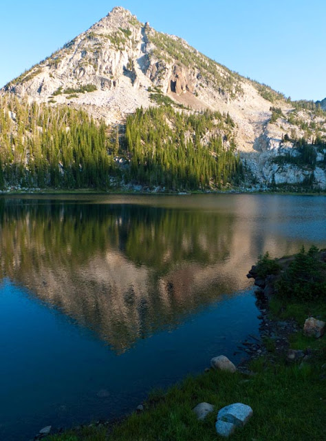
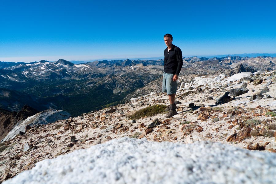
What a good decision. Not only was it by far the best weather of the trip, but I'd forgotten how awesome the Matterhorn is. It's a steep climb, but the summit is super cool and rocky, and you basically feel on top of the world.
Looking north along the ridge, Sacajawea out left.

Looking south. Eagle Cap is the tooth sticking out of the range in the back left.

Self portraitude.
After soaking it in for a bit, I ran back down to Ice Lake.
It seemed prudent to again jump in the lake (brr!), then we packed up and slogged back down to the car.
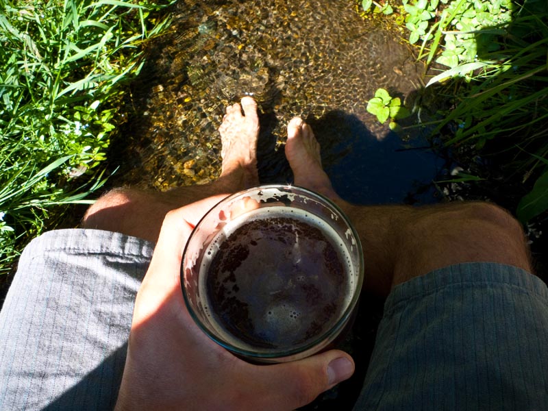
Time for the traditional victory celebration at Terminal Gravity!
And then the long drive home.


