1° is ~90' off at 1 mile. I usually round it up to 100' while I'm teaching just to make things easier.
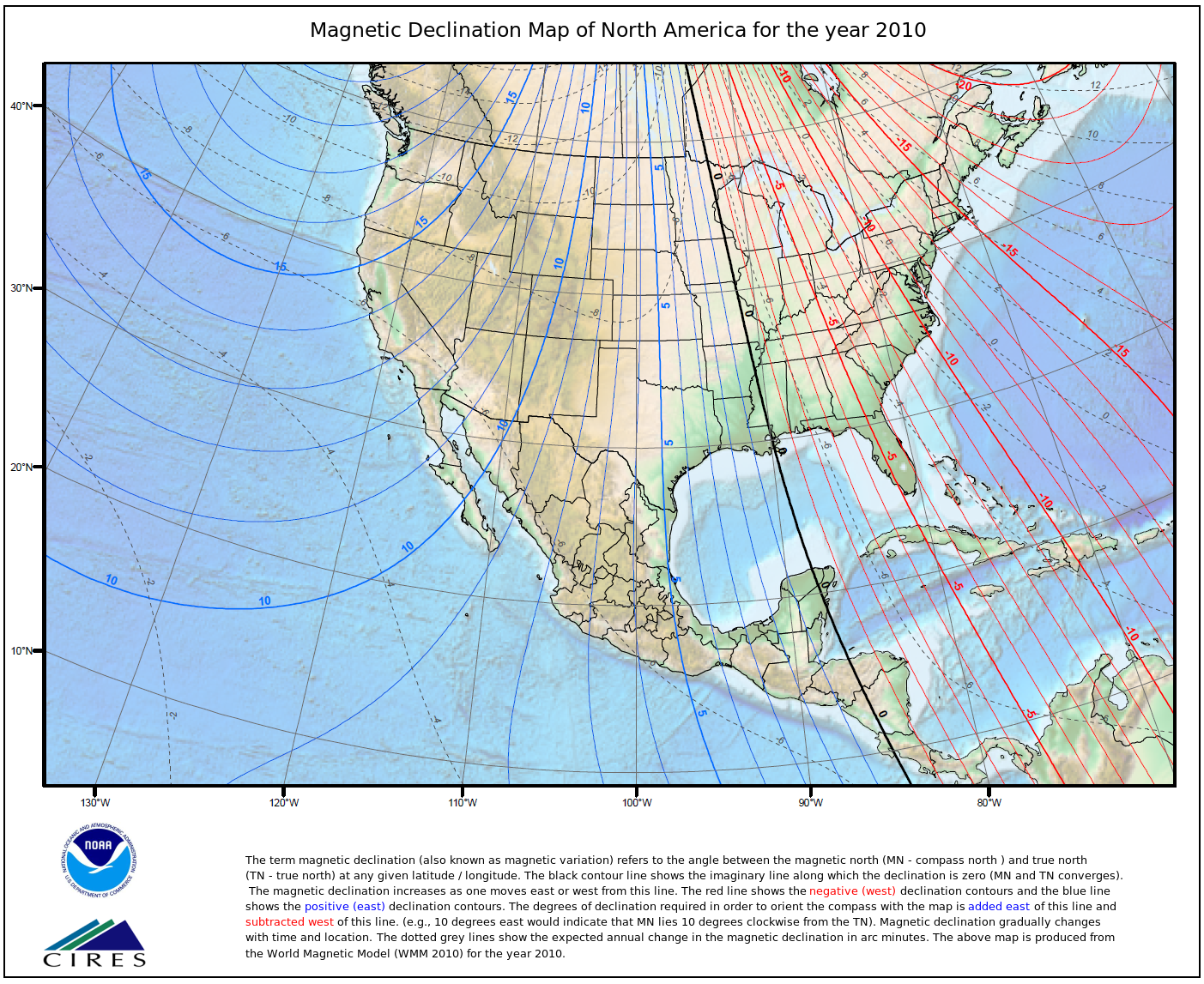
Realistically you have a 2° margin of error with your compass unless you're *really* paying attention to it and being a stickler. It doesn't matter what the map says declination is, since the map is referencing geographic north (or grid north in some cases) so long as you know what the current declination for your area is it will work and be accurate. I believe for the gorge it's currently about 16¼° East.
The bigger problem is when people *don't* declinate, and assume magnetic north is the same thing as true. I can deal with a couple degrees error, but 16° error is too much.. Or worse yet, if they declinate backwards and they're 32° off.
I've attached a map for you for some reference. From Sherrard Point, all arrows are 3 miles long.
Bright red is 0° True, the smaller
Dark Red arrows are ±2°.
Blue to the east is Magnetic North (16.25°T) and the
Purple arrow would show someone declinating backwards at 32.5°T