I spent a few nights at Cairn Basin to check out the Dollar Lake fire. Started at Top Spur trailhead.
I never saw any indication it's okay to be in this area, except the comments on this website - okay after 10/15. I went up on 10/14 (I'm a rule breaker by nature). I just figured I'de check it out and if there was anything that looked dangerous (which there wasn't) I'de turn around. I saw about 6 groups of people that thought the same.
I think that the Timberline Trail, Eden Park Trail, trails up to Barret Spur and McNeil are all passable. I also talked to someone that went up the Vista Ridge trail to Timberline. There are places with blackened trees across trail - it's hard not to get black hands. Over the winter there will probably be more fallen trees plus soil erosion so it will probably be worse.
Crude map:
Before #1 are the ponds. From up above you can see how the fire creeped over the ridge but you can't see anything along the trail:
There was a warning sign at the trailhead and at the Mazama trail junction - trails closed until further notice:
The fire had a number of fingers that intersected the trails. Generally the fire followed a ridge up the mountain. Where the Timberline trail is, the trees diminish so this is about where the fire stopped.
A little before Cairn Basin, #1 on the map, there was a mildly burned area. No trees across trail or anything:
Then right when you get to Cairn Basin there was a narrow finger (#2 on map). This burned the trail sign showing the way to Eden Park. That's the only damaged trail sign I saw:
The fire burned right next to the shelter, but they cut a bunch of branches away to save it. I slept there because it was raining when I got there. It's pretty rain-proof:
The North corner of Cairn Basin is burned pretty severely. Several campsites are unusable, but most of Cairn Basin is fine including most campsites:
One night, someone else camped at the other end of Cairn Basin from me.
I walked down through Eden Park. The first maybe 0.1 mile (leaving Cairn Basin) is burned with trees across trail, but then it's fine. Eden Park:
Going from Eden Park to Vista Ridge is another heavily burned area.
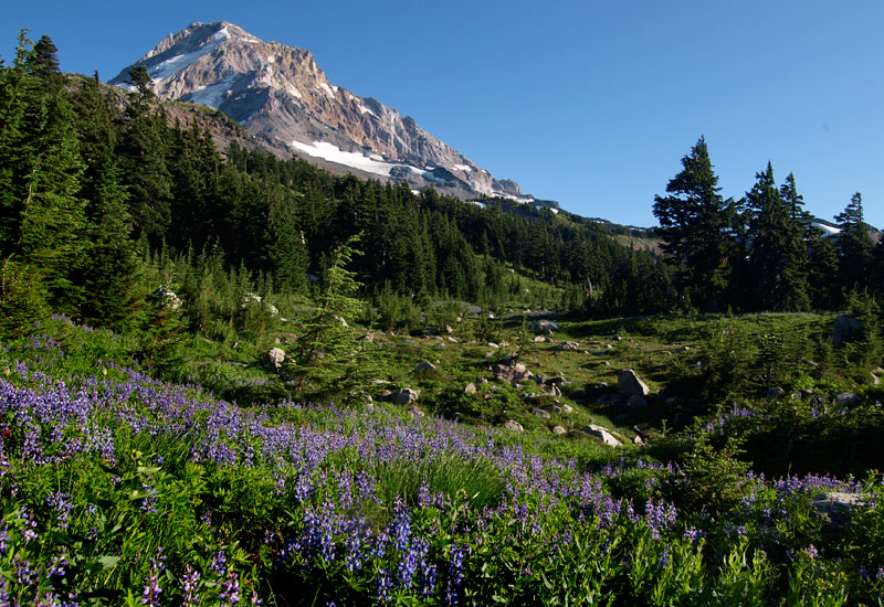
WyEast Basin is fine:
Walking back to Cairn Basin through heavily burned area #3:
Most of the area burned is only slightly burned, like this singed Heather. There's still green underneath. I think this will eventually recover. There are a lot of trees like this also:
Vista Ridge from up above. You can see bands of brown, singed trees, and completely burned black trees. The trail from Eden Park goes through there:
I went up Barret Spur from Dollar Lake. The Lake and campsites are fine, but the fire (#4 on map) got close:
Barret Spur is a great destination. A little snow that never melted and more that's recently fallen:
I went most of the way up Barret Spur, then encountered bear, and went down the WyEast trail, no fire damage.
Then I went over to Elk Cove.
After going past Dollar Lake, just as the trail starts down into Elk Cove, there's a thin finger of fire that didn't affect trail at all, and didn't make it all the way to Dollar Lake:
Then a little further is a heavily burned area (#4 on map). There's this large tree that fell over onto a small tree, and the large tree burned out except the bark. I don't think that will stay standing very long:
Down in Elk Cove, the fire came very close to the Timberline and Elk Cove trails, but didn't really affect them. Elk Cove trail sign, fire behind:
Taking the Timberline Trail down to the Coe Creek crossing, there's another heavily burned area (#5 on map).
Just before Coe is how far I got. I got a nice view of Stranahan Ridge. It's heavily burned. You can see bands of brown singed trees and black trees. This is all way below the Timberline trail which goes a ways above. I think there is minimal damage to the trail there but probably some burned places (#6 on map):
Mountain Ash berries in Elk Cove. There should be bears there: