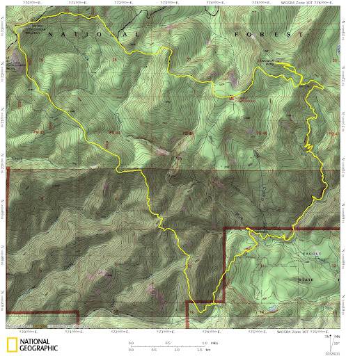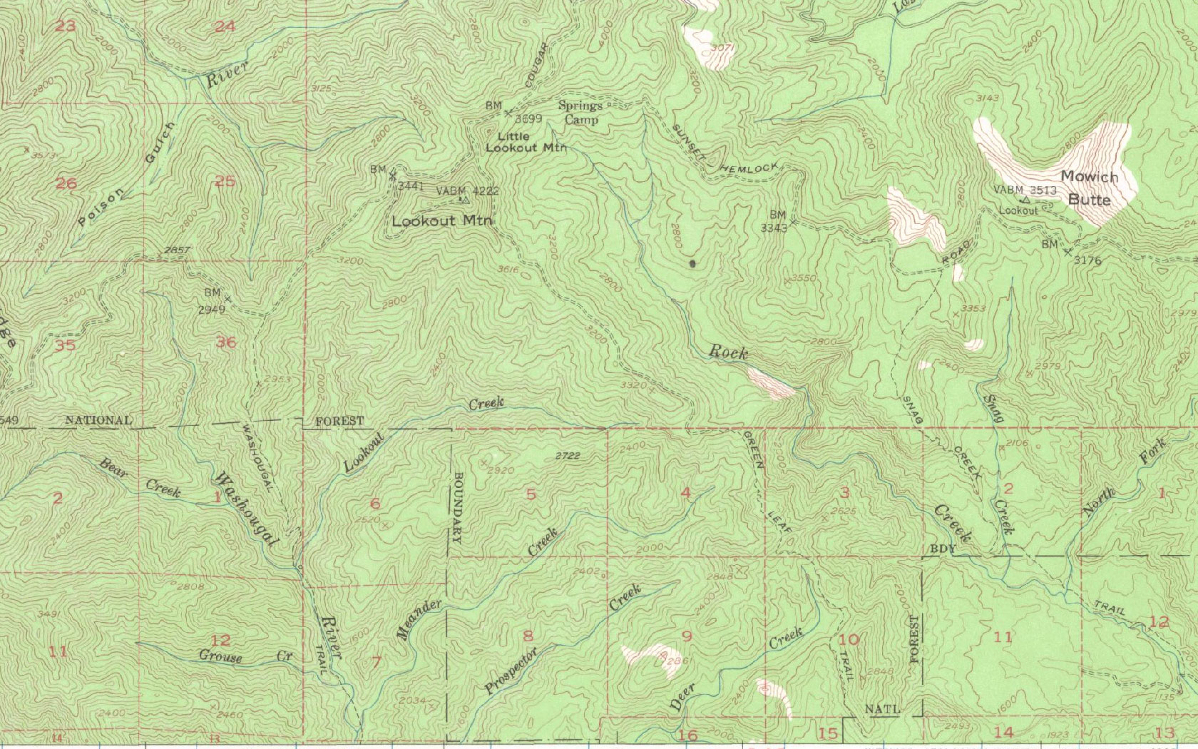
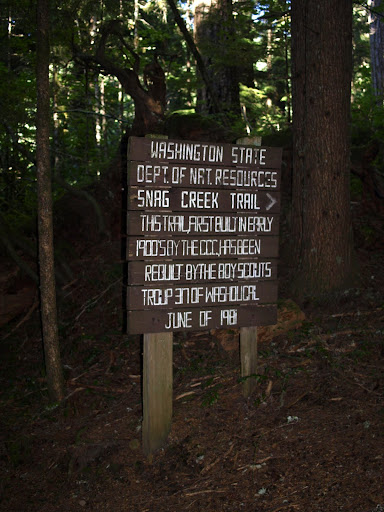
past the start of the Snag Ridge trail – which starts strong but fades as it climbs to Road 41,
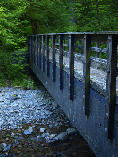
over a very robust “foot bridge”,
to – surprise! – a junction with CG 2000. I could have continued on the PCT but instead went up CG 2000 to its intersection with another road and the “trail” up to NF 406. Turns out this trail is either a really wide trail or a fairly narrow road. It’s washed out where it joins CG 2000,
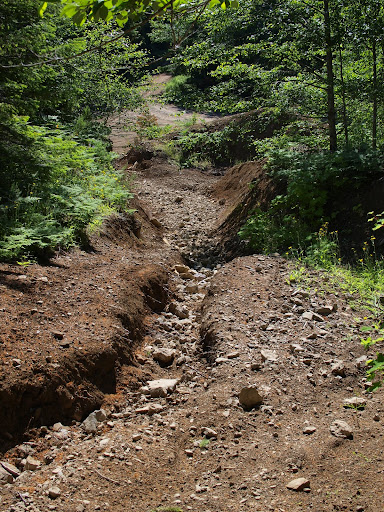
and didn’t look very promising going up,
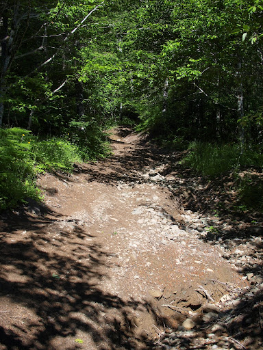
but soon it settled into a very good track that went all the way to the S end of NF 406.
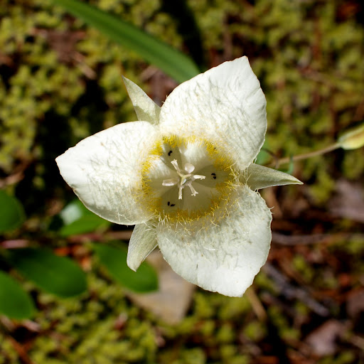
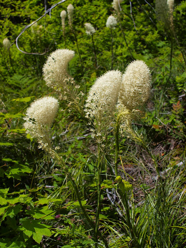
There were still a lot of flowers out including Cat’s Ears, one of my favorites.
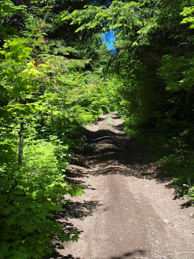
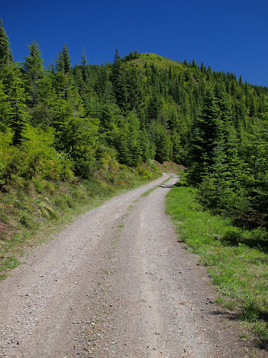
NF 406 is also a wide trail/narrow road
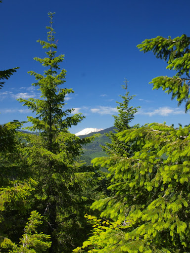
from which I could catch a glimpse of Adams,
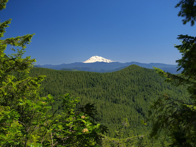
Hood,
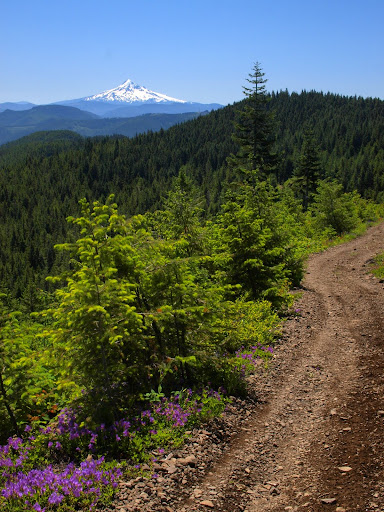
and, eventually, the S side of Lookout Mtn.
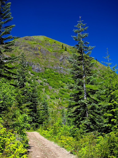
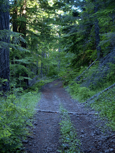
I’m not promoting road building, but NF 406 is almost more of a trail than a road, wanders pleasantly through a forest, provides some good views, and is, near as I can tell, about the only way to explore the ridge SE from Lookout Mtn since there don’t seem to be any “real” trails in that area. Just past Lookout Mtn, NF 406 connects with Road 41 which, although gravel, is more of a real road.
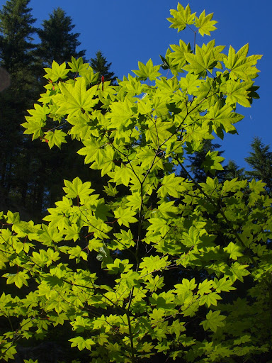
Still, I had it all to myself (the one car I saw all day stopped to ask if I was OK – I guess walking is a sign of distress if you’re driving?), the sun was shining, my tan was building, and there were occasional views to relieve the tread. The beargrass was still flowering heavily in places, with only a few of the heads having been grazed thus far.
Just past Mowich Camp – a bare dirt spot in the trees – Road 41 is blocked by berms and trenches (the Green Trails map says there’s a gate but, no, now it’s tank traps). From there it’s a short distance up to the old lookout site at Mowich Butte, with (until the trees grow back just a bit more) views of Rainier,
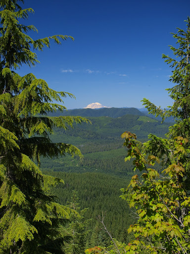
Adams,
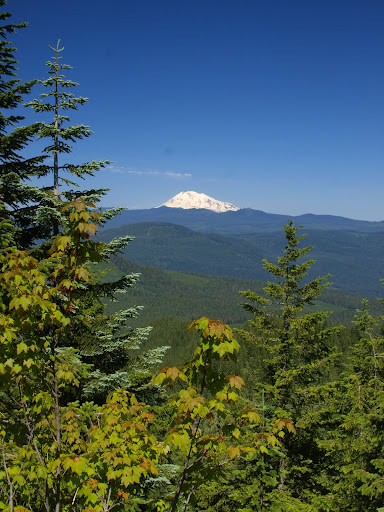
and St. Helens.
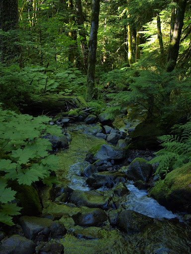
From the Butte, I continued E on Road 41 to a point where it comes within 100’ of the PCT, then went XC briefly to join it. This section of the PCT is all downhill, is shaded, and crosses a few sources of cool water – the perfect way to return to the TH on a hot, sunny afternoon.
Despite being on roads, this was a pretty enjoyable hike – starting and ending on the PCT helped redeem the “hiking” experience. This route, roads and all, is about the only way you could circle the Rock Creek drainage since there aren’t any real trails in this area. All told 19 mi and 3600’ gain.