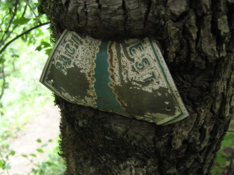
Bruce,VanMarmot wrote:Others probably already know this, but I was interested to find (in the 1976 edition of Spring & Manning's 102 Hikes...) that the alignment of the PCT (then called the Cascade Crest Trail) on the Washington side pre-1975 started at Dog Mtn, went over Augspurger Mtn, past Grassy Knoll and Big Lava Bed, to Big Huckleberry Mtn, and then down to Forest Road 60. Now, after starting at Cascade Locks, the PCT still passes by Big Huckleberry and crosses 60 at Crest Camp. I'd be interested if anyone has a map of the old alignment from Dog Mtn to Crest Camp, as it would make for an interesting "hike through history."
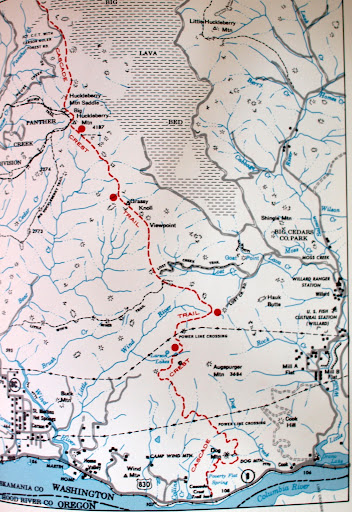
Here you go - this is taken from the old 30 minute series USGS maps and the original late 70's Green Trails maps:
Overview of both old and new alignment: Old in red, new in yellow)

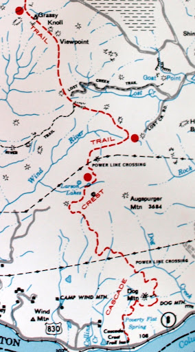
Detail Dog Mt area. (Some of the current dog Mt. trail system in Green) Looks like it didn't go over Augsburger if the maps are correct:


I think I'll go up there and check out what's left. I followed the old aligment a couple of years ago not knowing what it was but it got real brushy and I didn't have the time that day. I only went a short distance from near the top of Dog, though. The original trail follows the current aligment of the Dog Mt. Trail then heads off to the NE near point 2505.
Don