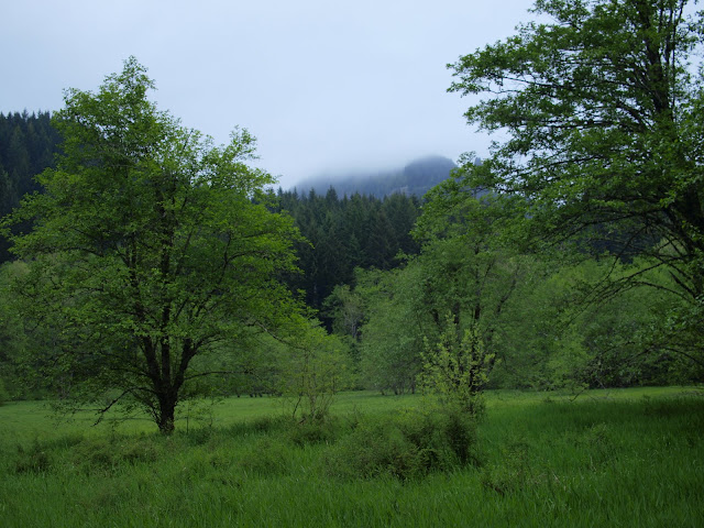
The W ridge was enveloped in clouds and mist, driven by a stiff breeze. While it wasn’t actually raining in the open, it was within the forest canopy, as the mist condensed on the leaves and needles. So climbing the ridge exposed me to either a misty wind or a drippy forest depending on which way the trail ran. The familiar rock pile at the top of the ridge was a study in grays.
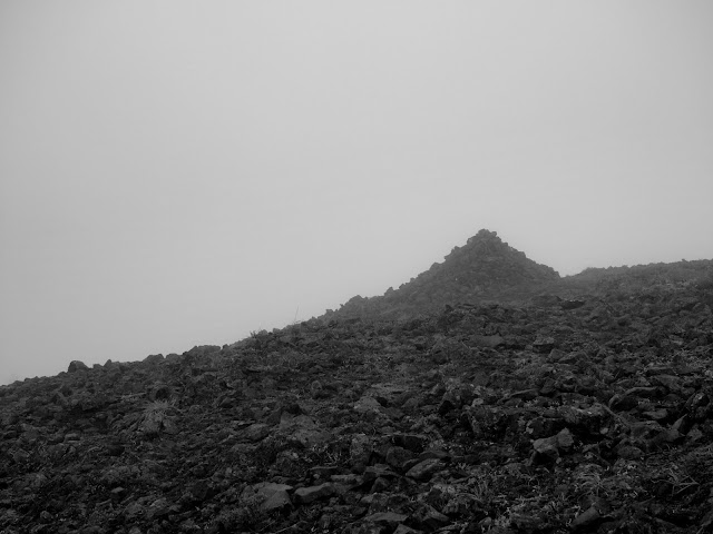
There is no snow on the W ridge, the top of Table, or the trail portion of the NW ridge descent. There’s still snow in places along the road portion of the NW ridge but it’s very easy to walk on. Mine were the only tracks in the snow until I came across these elk tracks,
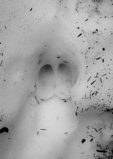
which went along the road for quite a ways. By the time I reached the service road intersection at 3100’, all the snow was gone but the clouds were not.

As much as I wanted to explore Greenleaf Basin, trying to do so in a wet mist with visibility less than 100’ seemed like both a bad idea and no fun. So I ate lunch, hoping that would give the promised sunbreaks time to appear. Would have had better luck wishing to see Big Foot riding a unicorn. So I packed it in and headed back to the TH via the PCT. Since it’s happened before, I fully expected the mists to clear and the sun to start shining just as I reached the car. It was a small comfort when that didn’t happen today. So I got some exercise and I’ll have a go at the Greenleaf Basin another day.