This is what we saw at 1:00.
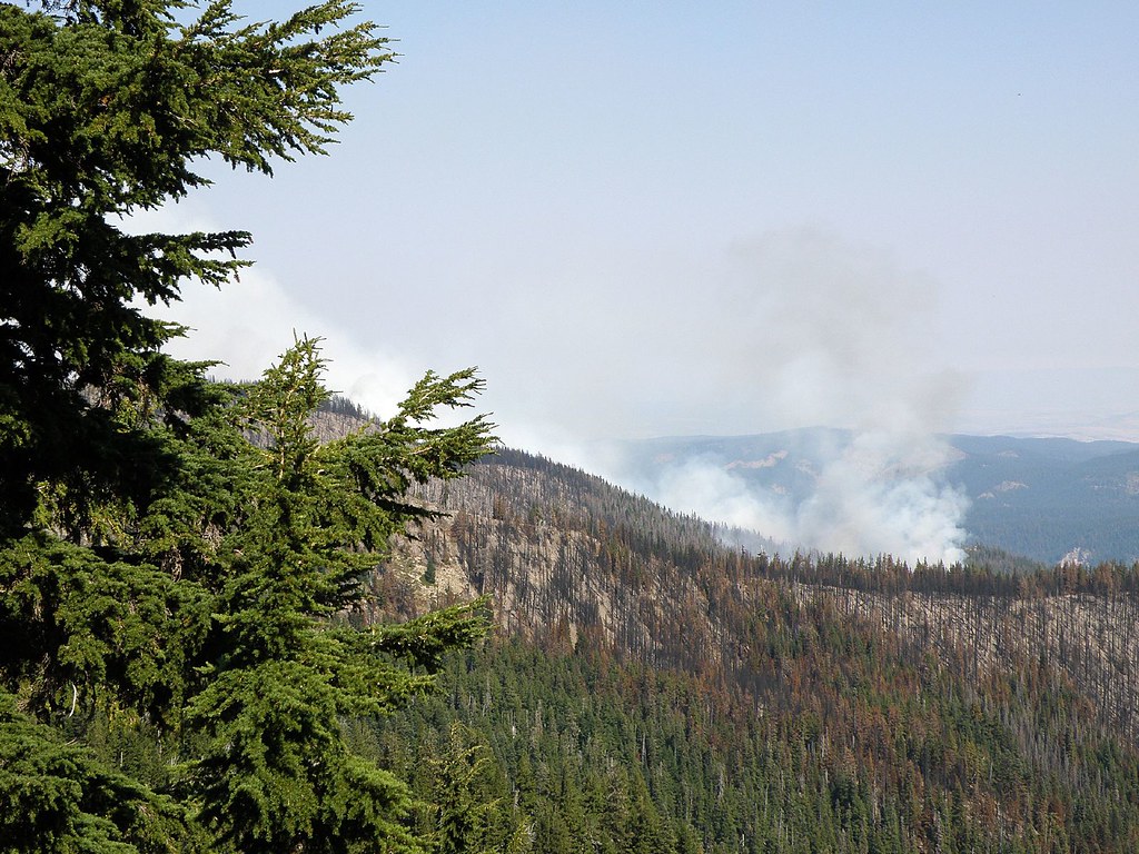
By 2:00 it had grown in intensity.
I have a few more photos at
http://www.flickr.com/photos/janicel/se ... 337933611/


Glad you got back out without getting cooked!Waffle Stomper wrote: This is what we saw at 1:00.
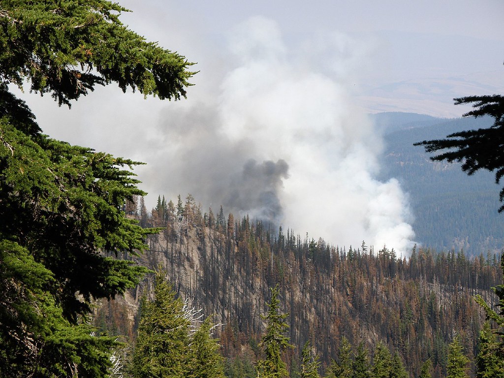
By 2:00 it had grown in intensity.
We don't mind hiking when it is a little "toasty" but that adds a totallly different meaning. We did not linger even though the wind was blowing away from us. And we were almost parallel to the ridge. We did meet Timberline Trail backpackers who were on their way to their cars parked at Tilly Jane. They had not see the fire yet.bush_marmot wrote:Looks like you were walking towards the fire for a while -Glad you got back out without getting cooked!Waffle Stomper wrote: This is what we saw at 1:00.
By 2:00 it had grown in intensity.
Peter


