Mooney Airplane Crash Site Found on Mt. Hood (Part 1)

This is a forum for trip reports that pre-date the Portland Hikers forum, trail photos from pre-digital era, or any other discussions that focus on trail history.
User avatar
Fred
Posts: 100
Joined: May 28th, 2008, 10:03 pm

Mooney Airplane Crash Site Found on Mt. Hood (Part 1)

Post by Fred » July 31st, 2010, 5:32 pm

Cloud Cap - July 30, 2010

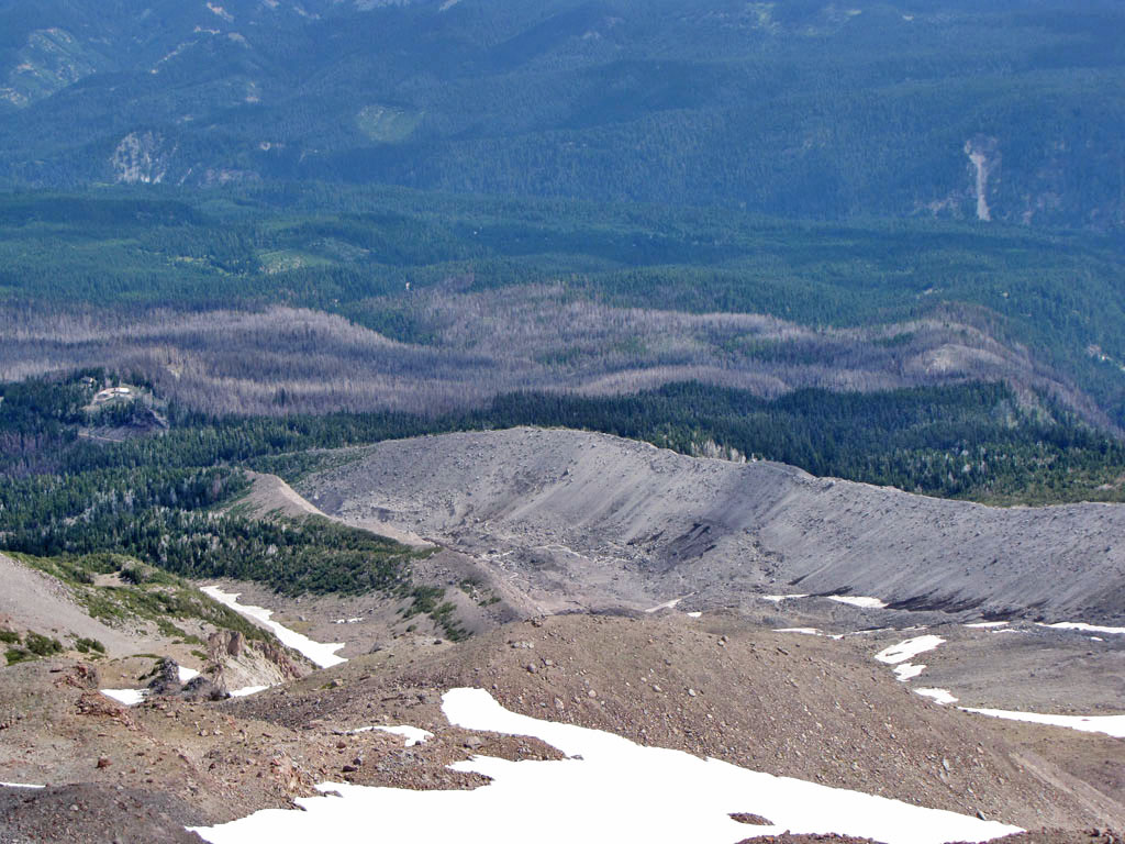
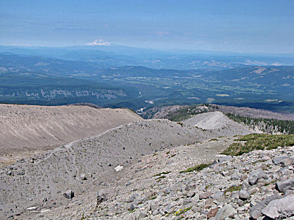
The Eliot crossing remains a problem and if anything was worse than last year with fresh landslides wiping out what little trail there had been. We started up the east moraine and just picked a place to descend below to the place where all the streams converged. It was slow going and difficult to cross without getting wet.

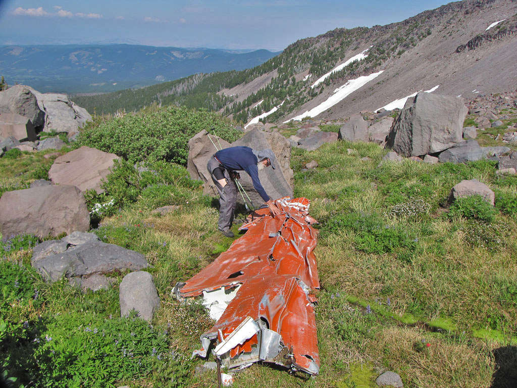
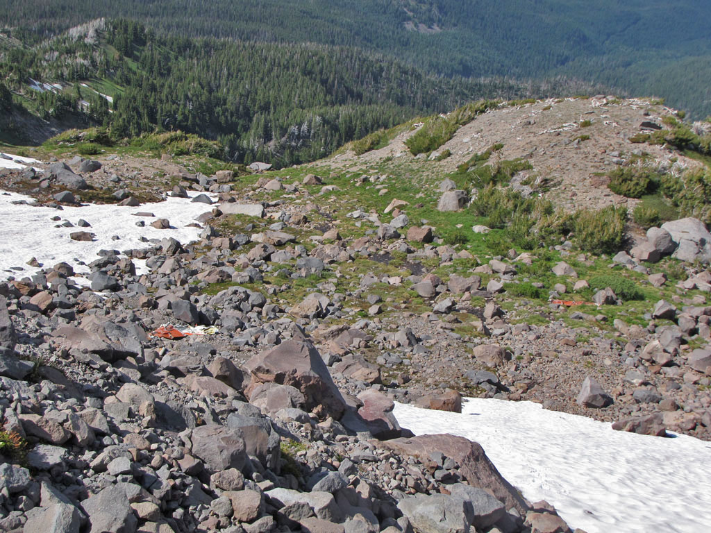
One of our objectives was to find some airplane wreckage. Thomas had been telling me for some time about a crashed Mooney somewhere on the other side of the Langille Crags. He once visited the crash site long ago, but been unable to find it again. We hiked the Timberline Trail to the last ridge before the Coe Crossing and started up.

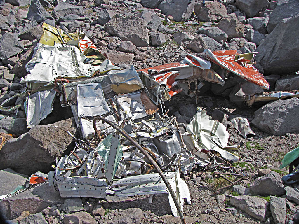
At 6,700 feet we were working up a boulder field and came upon the main wreck.

01 Mooney Crash
Image

It was December 1, 1975. The pilot had only 115 hours of experience and no instrument rating. He was headed for Hillsbough from Redding California, descending through snow, sleet and freezing rain, 53 miles off what would have been a direct course.

02 Thomas inspects Mooney wing
Image

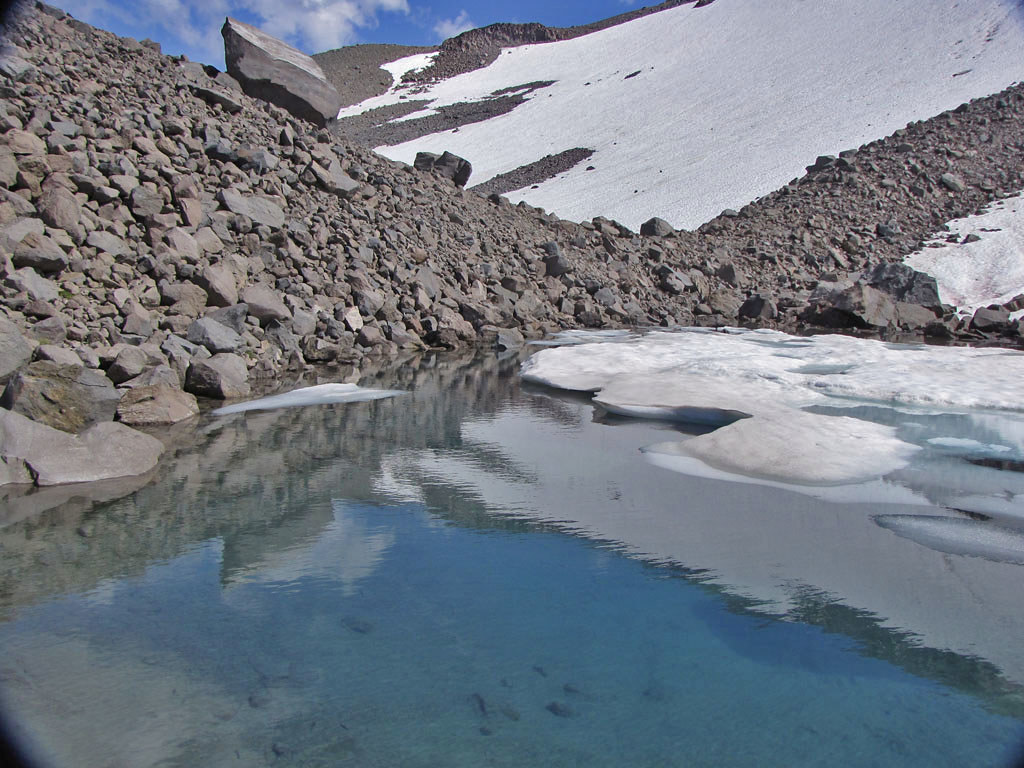
03 Tarn above Mooney site
Image

04 Looking down from Tarn, Mooney Crash and Wing
Image

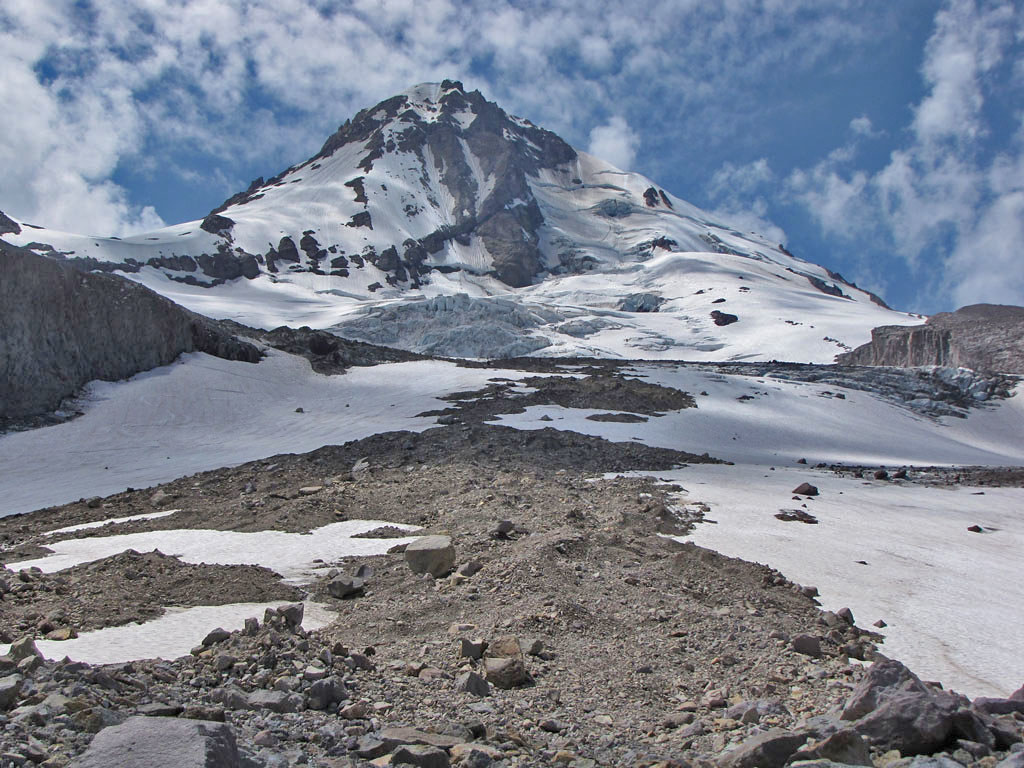
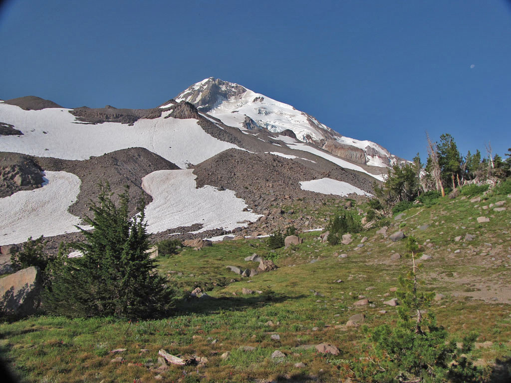
We spent the rest of the day exploring the area and camped in the trees below the crash site. We planned to go up the top of the Langille Crags just below Snow Dome and descend the Moraine back to Cloud Cap.

The night was cool and clear. We watched the twinkling lights of Parkdale and Hood River as the Moon rose nearly full.

05 View from Camp - Our objective is the high, rocky knob directly on the left mountain skyline
Image


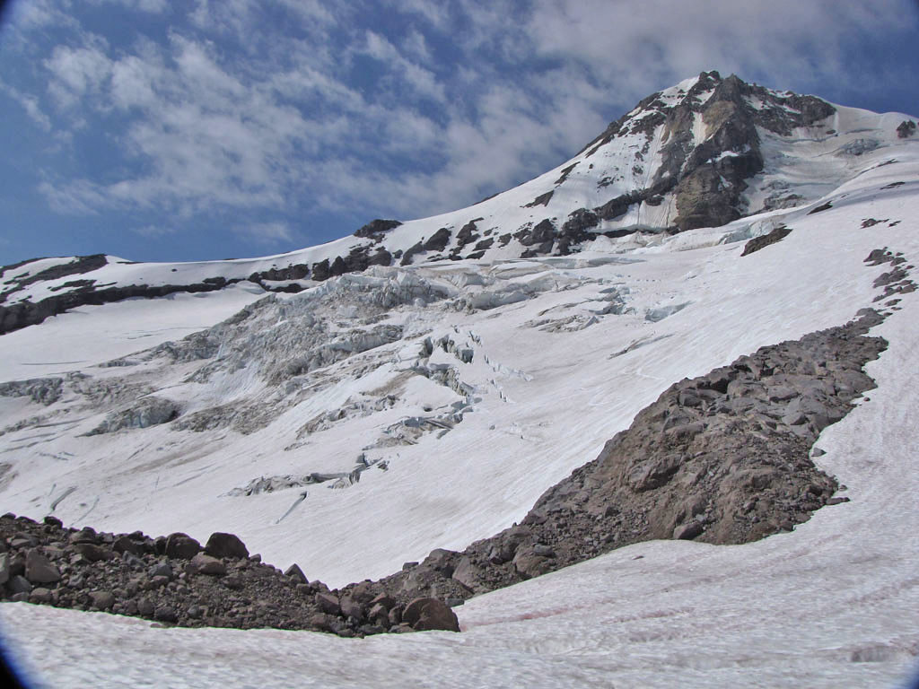
06 Eliot Glacier
Image

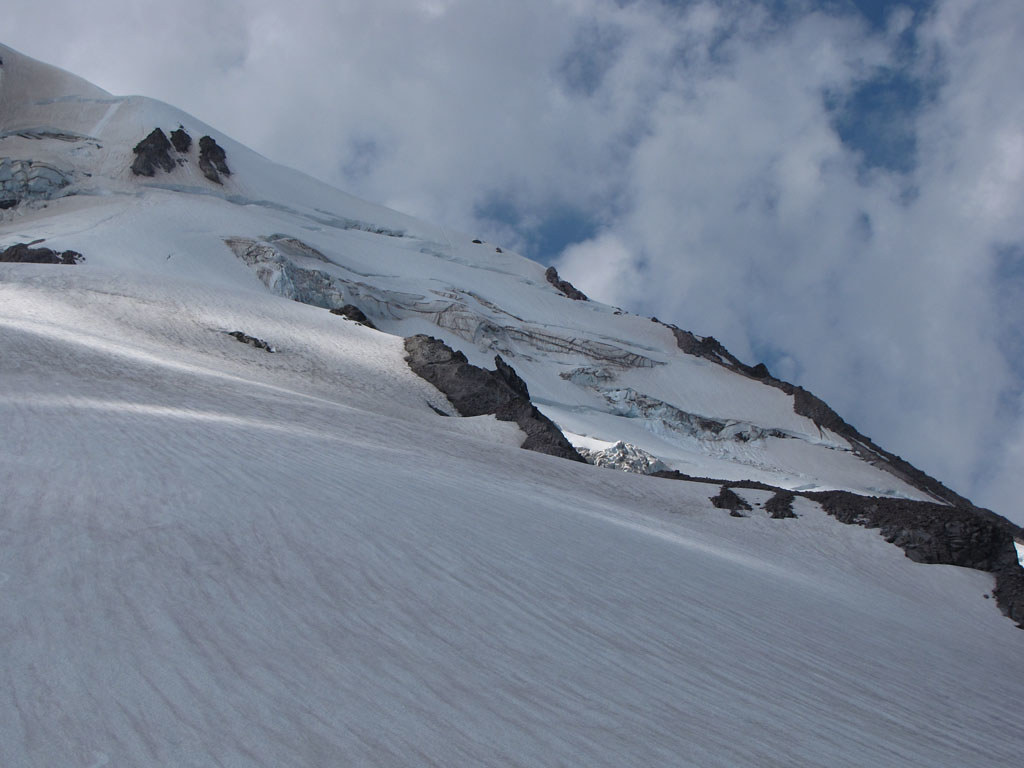
07 Langille Crags
Image

08 Coe Glacier
Image

09 The Eliot, Cloud Cap
Image

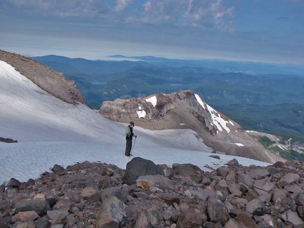
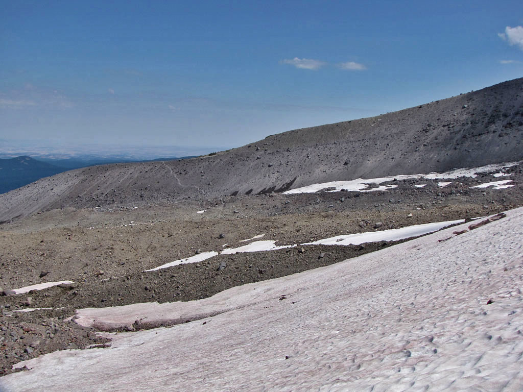
We crossed the Eliot right under the Langille Crags, headed for the glacier access trail on the east side. This crossing was easier than the lower crossing we had done the day before, but is not a real alternative for those doing the Timberline Trail because of all the additional uphill. It was only convenient for us because we were going down.

10 Upper Eliot Crossing
Image

11 Looking up midway across Eliot
Image

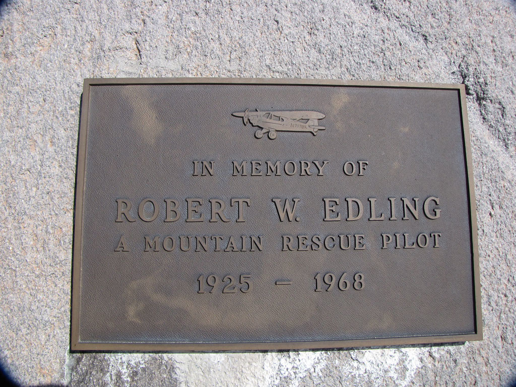
A few hundred feet above the Eliot glacier access trail, near tree line, a bronze plaque tells another story.

12 Another Pilot - Another Story
Image

13 Heading Down
Image

Back at Cloud Cap we relaxed and made coffee before taking the long dusty hill down.

User avatar
retired jerry
Posts: 14417
Joined: May 28th, 2008, 10:03 pm

Re: Airplane Crashes and Eliot Crossings

Post by retired jerry » July 31st, 2010, 6:30 pm

Another great Fred and Thomas trip!

So, what do you think, should regular people be crossing Eliot?

What elevation did you cross below?

What elevation did you cross above?

Where's the best place to cross?

User avatar
roadtripmom
Posts: 304
Joined: March 3rd, 2010, 9:20 pm
Location: Vancouver, WA

Re: Airplane Crashes and Eliot Crossings

Post by roadtripmom » July 31st, 2010, 6:33 pm

Wow, fantastic report and amazing photos! That has to be an incredible experience to come upon an old crash site !
Filling my bucket, one hike at a time.
Amanda

User avatar
Fred
Posts: 100
Joined: May 28th, 2008, 10:03 pm

Re: Airplane Crashes and Eliot Crossings

Post by Fred » August 1st, 2010, 2:48 am

Jerry:

Thomas will post a reply with GPS information and elevations, but in general the lower crossing should be done just above the place where all the streams converge into one. There is less water to cross at one time and after the streams come together is where the channel gets deep. About 50-100 feet past the trail signs at Cloud Cap (headed towards Timberline, not the old way towards Elk Cove. Forget that.) is a trail to the right that leads to the moraine and a "Trail Closed" Sign. We did not go that way and continued up hill to the easiest looking descent with some side hilling towards the stream convergence area. Once over, move downstream along a flat area to the easiest looking climb back out. There is a yellow rope tied to a boulder. Done this way, the crossing is not particularly dangerous, but is very time consuming. I think it took us like a hour and a half.

Of course I don't recommend the crossing for your hiking pleasure, but if you want to get around that way and complete the Timberline Trail, it can be done in relative safety. There are some big rocks ready to fall, but the places we went were not extremely unstable.

If what you're doing seems dangerous, you are probably in the wrong place and need to be more choosy about finding a route. Conditions would become much worse in wet weather and should be avoided.

Fred

User avatar
retired jerry
Posts: 14417
Joined: May 28th, 2008, 10:03 pm

Re: Airplane Crashes and Eliot Crossings

Post by retired jerry » August 1st, 2010, 5:07 am

So is there a yellow climbing rope on both sides of the gully? To get down one side and back up the other?

User avatar
Fred
Posts: 100
Joined: May 28th, 2008, 10:03 pm

Re: Airplane Crashes and Eliot Crossings

Post by Fred » August 1st, 2010, 8:04 am

Last year there were ropes on both sides. I think the place on the east the had a rope last year slid or I did not see it. Last year you could see the route on both sides. This year only a fraction.

User avatar
fettster
Posts: 1720
Joined: May 28th, 2008, 10:03 pm
Location: Hillsboro, OR

Re: Airplane Crashes and Eliot Crossings

Post by fettster » August 1st, 2010, 8:47 am

That's a pretty good memory to find it once again. Nice work! Now that you know where the site is do you think there would be a better route or was the route you took about the best?

User avatar
Thomas M
Posts: 353
Joined: May 28th, 2008, 10:03 pm
Location: Vancouver,WA

Re: Airplane Crashes and Eliot Crossings

Post by Thomas M » August 1st, 2010, 9:08 am

Eliot crossing East to West, Low
The aerials were taken before the storm of 2006 which severely washed out the drainage and took out the old trail, which now ends in a precipitous drop into the ravine.
Fred chose to descend from about 6300 feet on the east rim. Very loose, poor footing. Must go slow!! There was no sign of any trail this time across until we got just above the spot where I marked the rope sighting. We did see the rope and notice the user trail there, but we did not climb with the rope. Personally, I would not trust the rope. It's been out in the elements for a long time and may not support weight.

The elevation information on the map is fairly close but inherent errors in GPS and mapping must be taken into account and this information used as a guide and not as gospel.

With contours:
ELX Lo 1.JPG
Without contours:
ELX Lo 2.JPG
Eliot crossing West to East, High
There were climbers on the Eliot Glacier on their way up. We could clearly see the user trail on the east rim. We aimed for that. Except for the loose scree and bouldered area getting onto the glacier this crossing was pretty easy, especially on the snow. We may have been able to avoid the difficult area by dropping south from our high point and getting onto the glacier sooner. And the view of the glacier....out of sight!!!

With contours:
ELX Hi 1.JPG
Without contours:
ELX Hi 2.JPG
s

Overview:
ELX Overview.JPG
Last edited by Thomas M on August 1st, 2010, 9:45 am, edited 2 times in total.

User avatar
Thomas M
Posts: 353
Joined: May 28th, 2008, 10:03 pm
Location: Vancouver,WA

Re: Airplane Crashes and Eliot Crossings

Post by Thomas M » August 1st, 2010, 9:30 am

Fettster:

I only had vague memories as to where the site was. It took me a long time to get a general location. Talking to the Forest Service, looking at maps, working out a search pattern, a trip up there last year with Fred, FAA accident records.

I also got the Delorme GPS Forum members involved with their excellent aerial photo reading skills. Some guy from out of state spotted a "color anomaly" on the aerial photo of the area and even came up with some photos from another persons personal blog!!

I don't think that we had it nailed to the inch, but a little wandering and Fred's sharp eye..............bingo!!!

I am a fixed wing pilot, so the site was very interesting from a flight safety point of view.

As to the "best route"....we might have been able to avoid some of the miserable bushwack up the short ridge to the site by walking on snow in the drainage to the east. Otherwise, it's only 600 feet above the trail (1/2 mile as the crow flies) and that route was pretty much in the ballpark. On second look, the ridge just to the east of the drainage which we paralleled could be better.

User avatar
Guy
Posts: 3333
Joined: May 10th, 2009, 4:42 pm
Location: The Foothills of Mt Hood
Contact:

Re: Airplane Crashes and Eliot Crossings

Post by Guy » August 1st, 2010, 4:52 pm

So how's a guy supposed to work on reducing his hiking list when you guys go & post stuff like this?? :D

Fantastic stuff guys, thanks.
Last edited by Guy on August 1st, 2010, 6:00 pm, edited 1 time in total.
hiking log & photos.
Ad monte summa aut mors

Post Reply