“Rally”
8/4/18
Rating: 2.5 Stars
Miles: 7.1
Time: 2 hrs, 30 min
Avg MPH: 2.8
Elev Min: 500’
Elev Max: 1,600’
Total Ascent: 1,300’
Steps: 15,000
Flights of Stairs: 130
Time Up: 6:00
Sleep Hours: 3.5
Start Time: 7:30
Temp Low: ~60
Temp High: ~70
Other hikers: ~30
Longest time without seeing a hiker: ~0:30
Wildlife: Bees, Butterflies
Approach Road: Paved
Parking Permit Required: Only if you go into the Starker Forest area
Parking Lot: ~20
Bathrooms: Port-o-potties
Dimple Hill * Oak Creek
Opening Shot: Butterfly on a thistle
I was in town for my 30th class reunion from Crescent Valley High School. My buddy Tooth Fairy and I decided to rally and go for a morning hike before our lunch-time reunion event. We had shut down the local bars the night before and weren’t in bed until about 2:30am, so the 6:30am wake-up call came early…but we rallied!
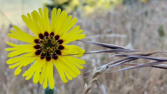
We drove out Oak Creek Road and found parking no problem, due to the early hour. We started up the trail in the forest and it was pretty steep! We saw this cool Media, which is the first time I’ve ever seen one.
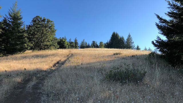
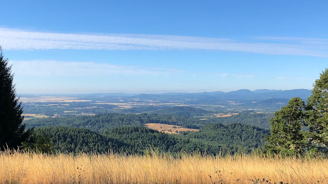
Eventually the trees started to thin and we broke out to the upper meadow, which was one of the only decent views of the entire hike.
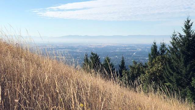
It was really cool to look down from the meadow, in the morning light, to see Corvallis and the Oregon State campus.
The weather was perfect.
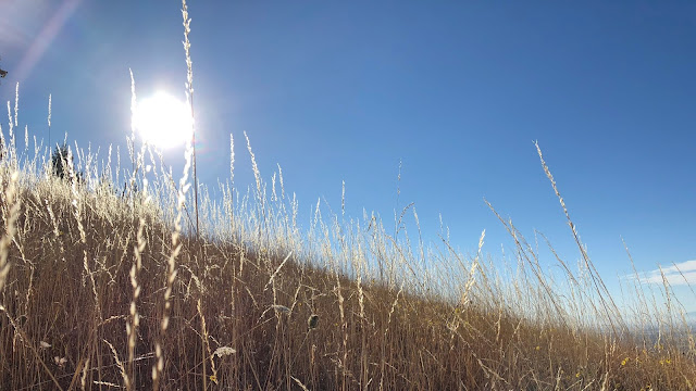
Here was our one other view, more to the west.
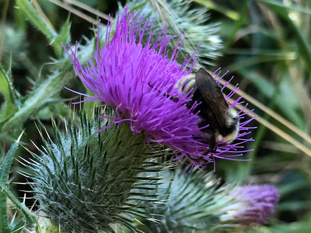
Not a lot of wildflowers, but we saw this thistle with an interested party.
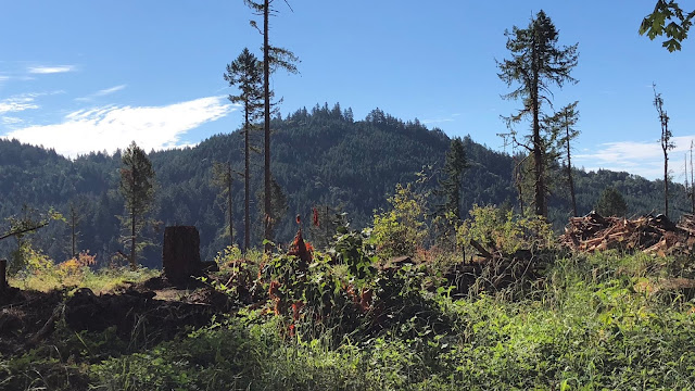
Once we reached the summit of Dimple Hill (~1,600’), we joined a forest road and winded down on that a ways. It wasn’t the most thrilling thing, but at least it was an easy stroll. We were right on the edge of the Starker Forest. They allow hiking on their land if you get a free permit from their office. I had done this, but due to our timing, we decided on a shorter route that didn’t end up going on their land. We did see some logging activity with slash piles. It was in this area that we could see back to our Dimple Hill summit.
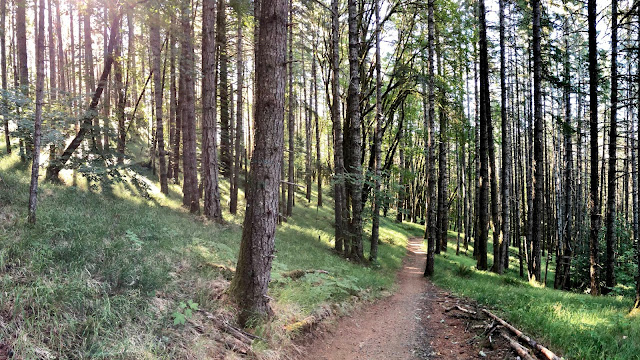
We entered another trail and dropped back down into the forest, it was quite beautiful.
As we approached the finish, we saw Oak Creek and crossed its bridge.
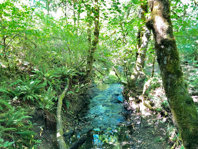
And we were complete! Off to the reunion! (nap first!)
Summary:
I decent hike that has options to go longer. Not awesome being on a road for part of it, but would make a good running trail due to that. There was a lot of multi-use activity on these trails, it appears to be very popular for the locals.
Favorite experience of the day:
Seeing the view from the top, down into Corvallis.
Least favorite experience of the day:
The road walk.
Today's elevation (left-to-right):

Google Earth with Track: (counter-clockwise)
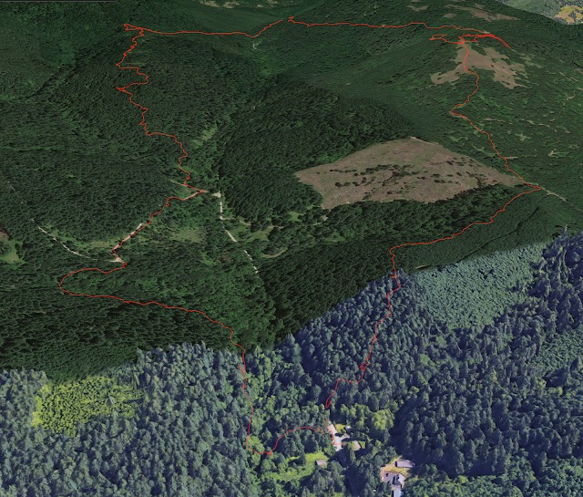
GPS Track:
https://www.gaiagps.com/datasummary/tra ... 59db8ebed/
-GoalTech (aka Mike)
www.GoalTechHikes.com
@goaltechhikes (Instagram)