“Garage Sale”
7/29/18
Rating: 3.5 Stars
Miles: 7.7
Time: 4 hrs, 15 min
Avg MPH: 1.8
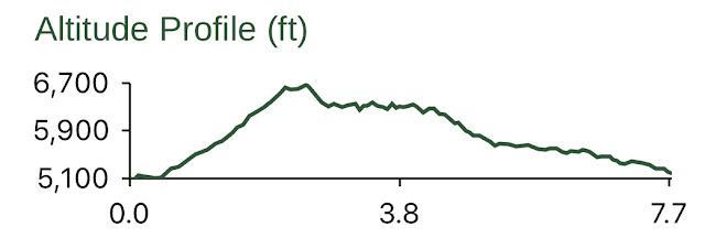
Elev Min: 5,100’
Elev Max: 6,700’
Total Ascent: 1,675’
Steps: 17,600
Flights of Stairs: 151
Time Up: 4:30am
Sleep Hours: 6
Leave Camp/Start Time: 5:05
Temp Low: 50
Temp High: 67
Thru-hikers: 2
Other hikers: 4
Male:Female hikers: 50%/50%
Hikers with a trail name: 100%
Longest time without seeing a hiker: 3:25
Wildlife: Heard birds
Via: 1
Cookies: 1
Verizon Cell Service: LTE at Eagle Peak. Weak signal in other areas that didn’t really work.
Approach Road: Paved
Parking Permit Required: NW Forest Pass
Parking Lot: ~12 at trailhead and ~20 nearby.
Bathrooms: Pit toilet
Willamette Pass Ski Area * Tait’s Trails * Pulpit Rock * Rosary Lakes views * Odell Lake views * Diamond Peak views * Mt Thielsen views * Pacific Crest Trail
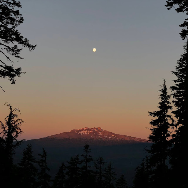
Opening Shot: Full moon over Diamond Peak
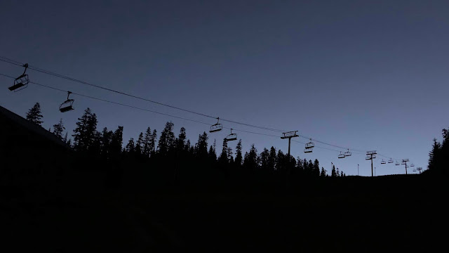
It was another early morning start as I climbed up the lower slopes of Willamette Pass Ski Area.
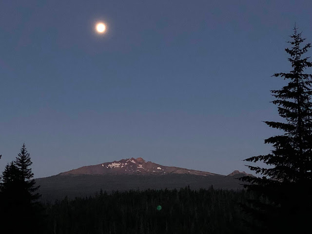
The full moon was lighting up Diamond Peak,
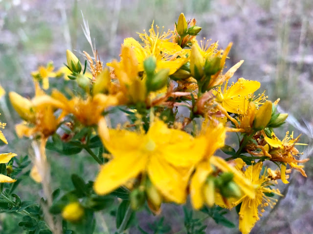
There were some Daisies,

and St Johnswort.
I made my way up Perseverence ski run with the intention of going up Kaleidoscope. Some how I missed my turn and went up Rosary Run instead, which has a pretty steep pitch at the top. The good news is that I ended up further up than I thought I was when I found myself back on Kaleidoscope. Just a bit further, I got my first views down Eagle’s Flight to Odell Lake and Lakeview Mountain, which I summited last year.
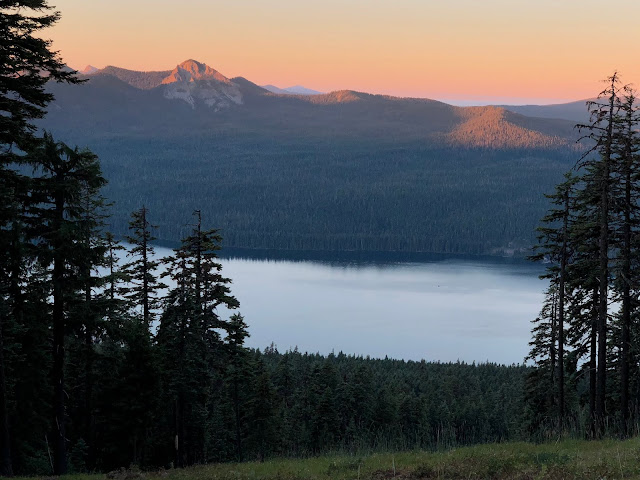
The views down Good Time Charlie were great too, seeing Serenity Bay and a bit of Crescent Lake.
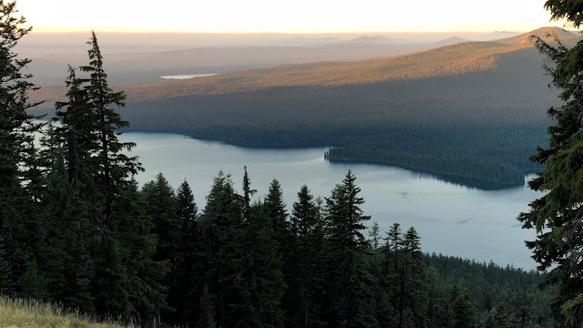
On the other side was Maiden Peak, which I summited several years ago.
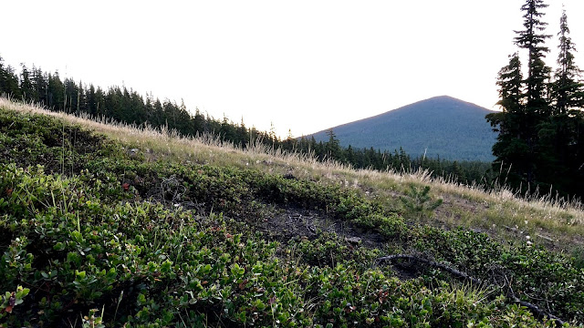
The views back to the east end and Sunset Cove were perfect in the sunrise light.
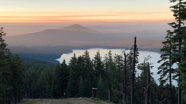
Diamond Peak is now in full sunlight.
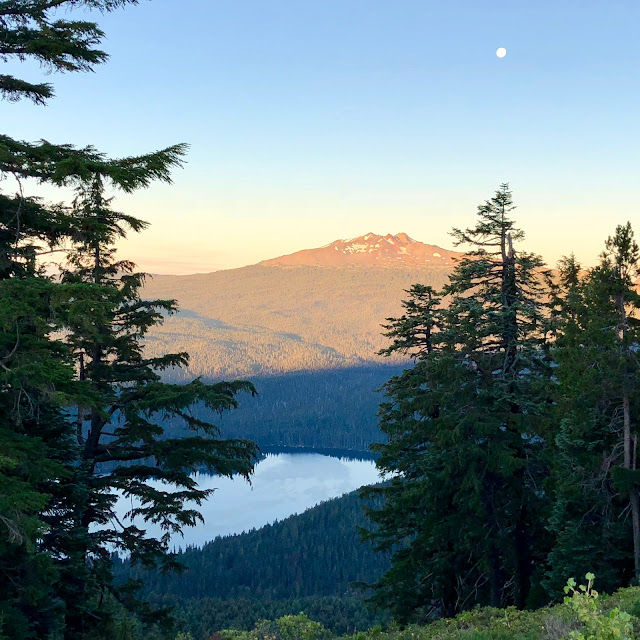
Here is the view from my summit of 6,666’ Eagle Peak.
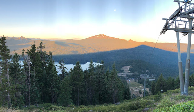
And a 360-degree video clip view.
2018-07-29 Willamette Pass Summit from Michael Irving on Vimeo.
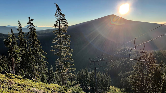
Here is the sun popping up over Maiden Peak.
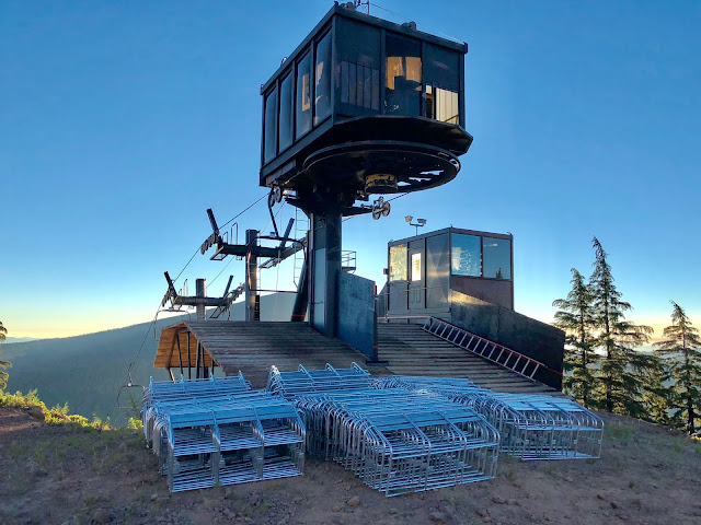
On the second summit in the back it looks like they are converting from a double to a triple.
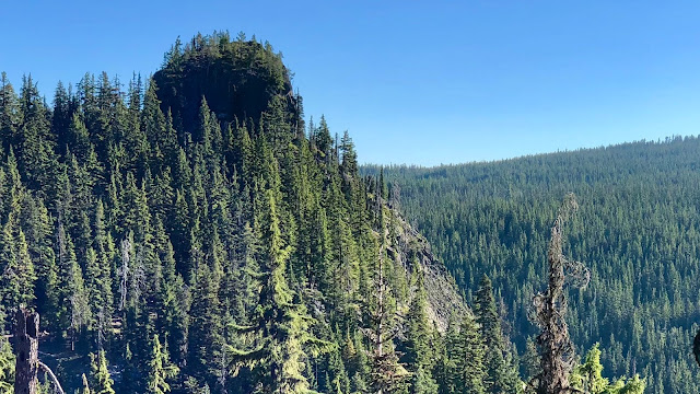
I dropped down the ski run to start making my way over to Pulpit Rock, which you can see popping up in the left/center of the frame.
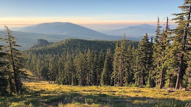
I made it to a saddle and found the cross-country “Taits” trails. After a short time on them, I went off-trail and cut over to Pulpit Rock. I was hoping there would be a way to the summit, but I wasn’t counting on it as it looks pretty cliffy from a distance.
I did find a climber’s rope with Alpine Butterfly knots tied every couple feet to snap in with a carabiner. It looked pretty doable, but being that I’m not a climber, and I’m solo, I figured it would be wise not to do it.
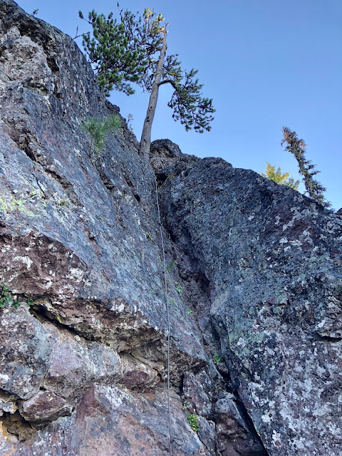
Here is a video of the rope situation.
2018-07-29 Pulpit Rock from Michael Irving on Vimeo.
I could see Mt Theilsen in the distance.
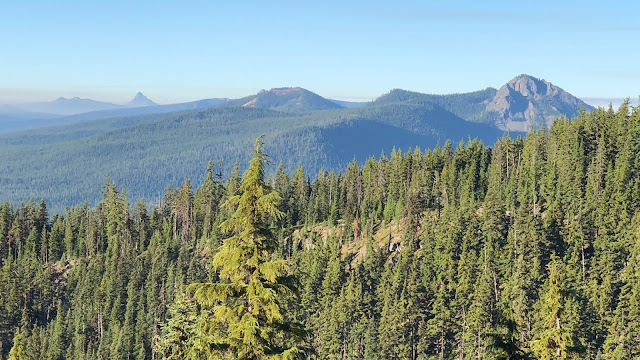
I hiked out the short distance to the nose of the rock and had stunning views of Lower Rosary Lake and Odell Lake.
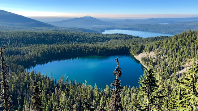
After soaking in the views, I traversed back over to the trail and headed downhill. Here is a view back to Pulpit Rock.
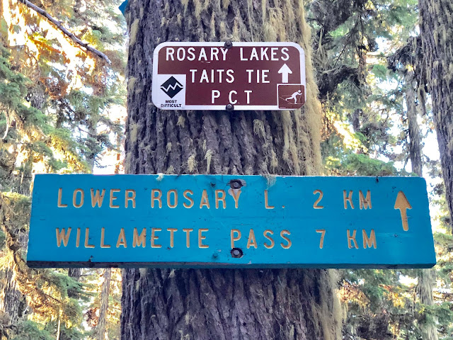
The easy way back was to continue contouring back around to the ski area. Instead, I took a left downhill on the connector trial to the PCT. The Taits trails were actually decent hiking trails as sometimes cross-country trails (typically covered with multiple feet of snow) have a side slope and/or a fair bit of blowdown. I found it interesting that this sign was in kilometers?? Is that more common for cross-country ski trails??
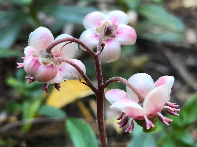
This was Pipsissewa, which is the first time I’ve seen this flower. It’s in he Heather family.
I made it to the PCT...it’d be smooth sailing from here! As I cruised down, I met Easy from Indiana and Fancy Pants from Sweden. I met Fancy Pants back in Etna! He was in that final group of hikers at the pass that were super stoked for my trail magic.
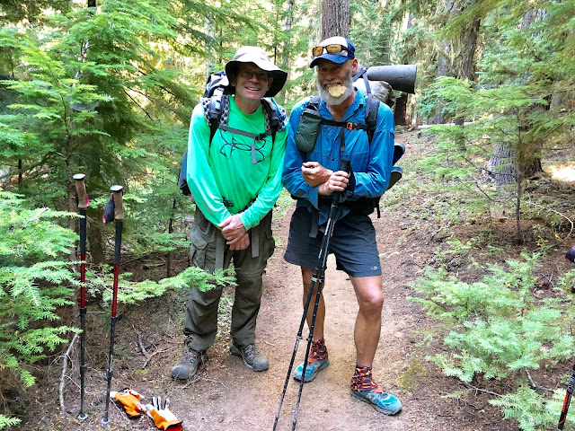
When I got the Via for Easy, he saw my Thermarest sit pad. He asked me if I was almost done with my hike. When I said that I was, he asked to buy my sit pad from me! I’ve never had that happen before! Apparently he’s been having issues in repairing his air mattress so it keeps deflating at night. Even a simple sit pad I guess is better than nothing. I sold it for less than it would cost me to replace it, but I guess at least I’ll get a new one.
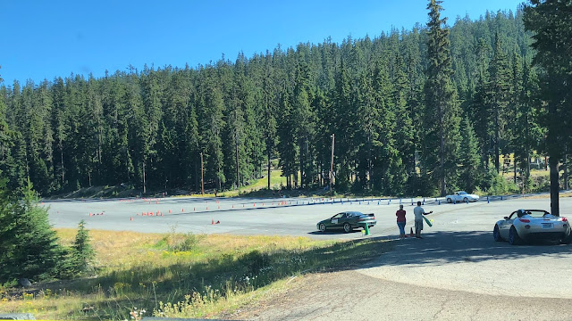
In a few more minutes I was back at the trailhead. After packing up, I drove the short distance back to the ski area. There was quite a village camping there when I went through this morning before dawn. Apparently it’s a car race, using cones, in the giant ski area parking lot. All the cars were pretty normal looking stock/street legal cars. It looked like it would be a lot of fun!
Summary:
A semi challenging hike in steeper elevation gain and off-trail hiking. Kind of cool to see the ski area in the summer and Pulpit Rock is cool.
Favorite experience of the day:
The views from Pulpit Rock
Least favorite experience of the day:
Not being able to summit Pulpit Rock
Today's elevation:
Google Earth with Track:
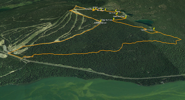
GPS Track:
https://www.gaiagps.com/datasummary/tra ... 3fbdde4f5/
-GoalTech (aka Mike)
www.GoalTechHikes.com
@goaltechhikes (Instagram)