Warren Lake
 WarrenLake
The loop hike from Starvation Ridge to Warren Lake with a return on Defiance is one of my favorite hikes - got everything; big views, a lake, sub-alpine environment, waterfalls, nice elevation gain, bit of snow travel, what's not to like.
Knowing that due to the weekday closures the pent up demand for hiking Defiance would lead to standing room only at the Starvation Creek trail head parking lot I left early. Good thing - as the lot was full and then some on my return.
Starvation Ridge trail is in good shape - a couple of downed trees but nothing serious. Likewise on Defiance trail. Some blooms to brighten the way:
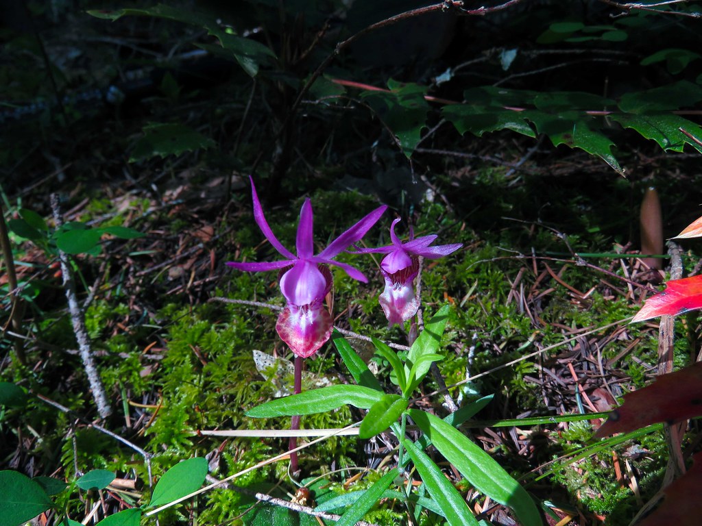 Orchids
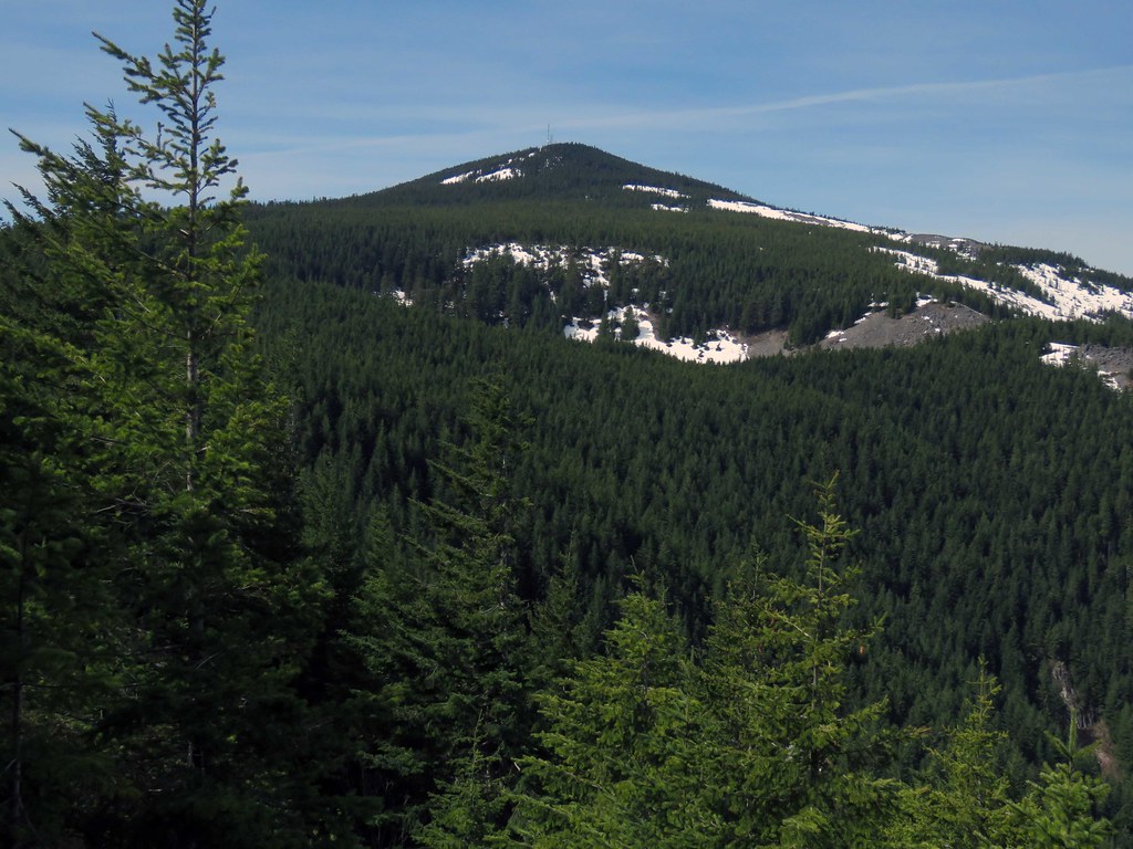
A look at Dog from the viewpoint up Starvation Ridge.
 Dog
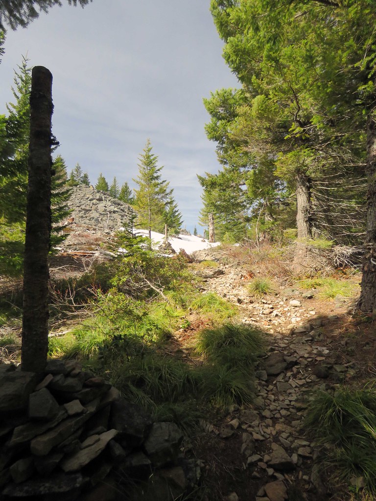
Dog There is a viewpoint just before Warren Lake where I got a look at Defiance and the snow levels.
 Defiance
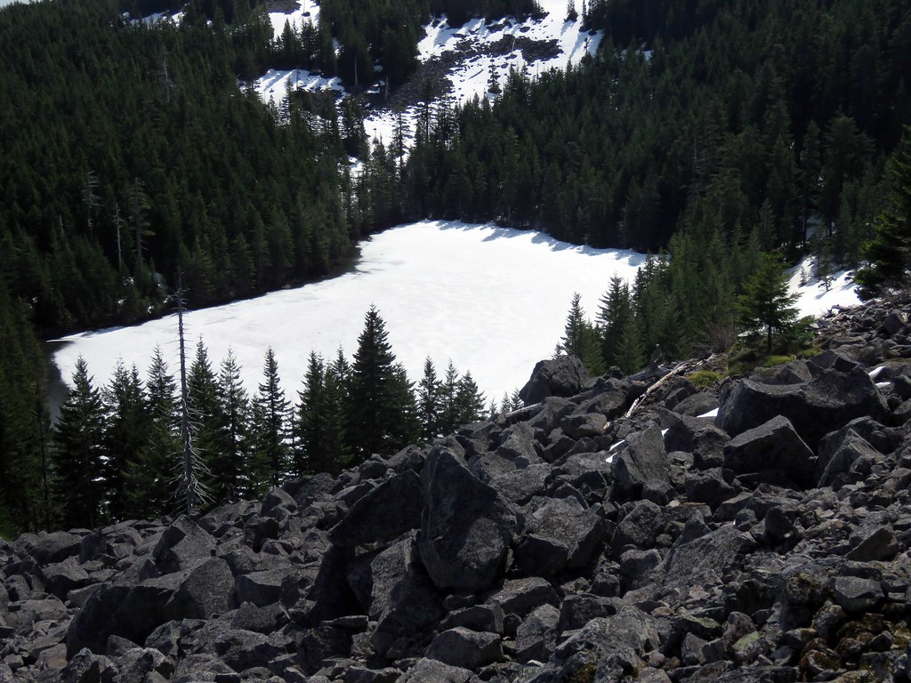
The way to Warren Lake is mostly snow free as are the camp sites around the lake. The lake is still frozen over but melting fast.
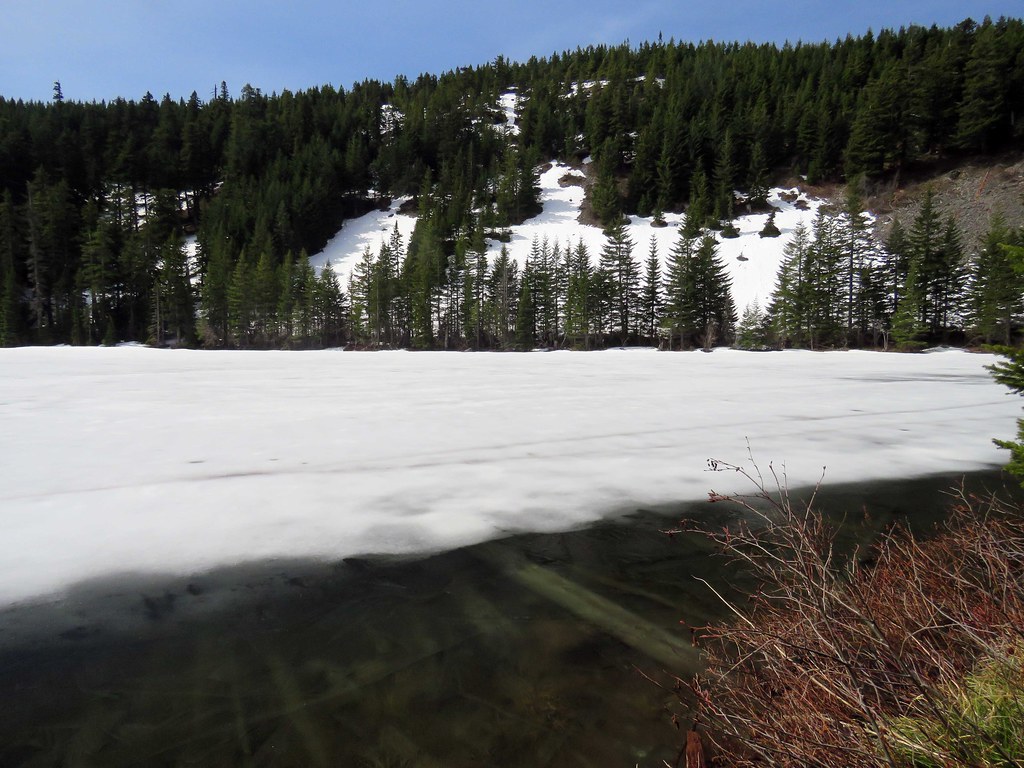 WarrenLakeShore
The cairns put in by the Forest Service a couple of years ago are still standing and if the trail was covered with snow would be useful I suspect.
 Cairns
The newer blaze on trees was useful as I was the first up this day and previous tracks had melted out. The snow level is around 4100 ft. No spikes needed, the snow is pretty consolidated at this point.
 Blaze
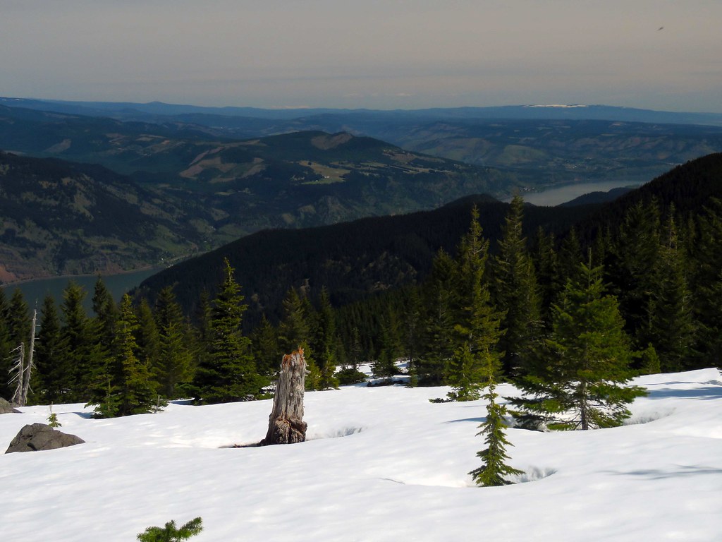
BlazeIn the boulder fields above Warren Lake are some great views.
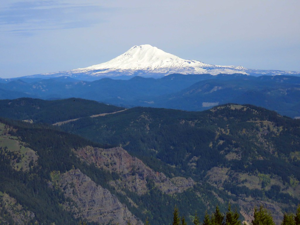 Adams2
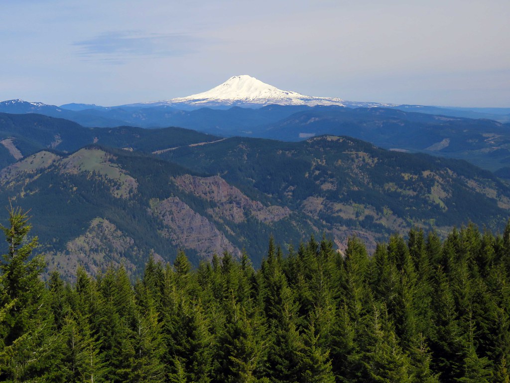 Adams
AdamsSt Helens and the Mt Marge Backcountry.
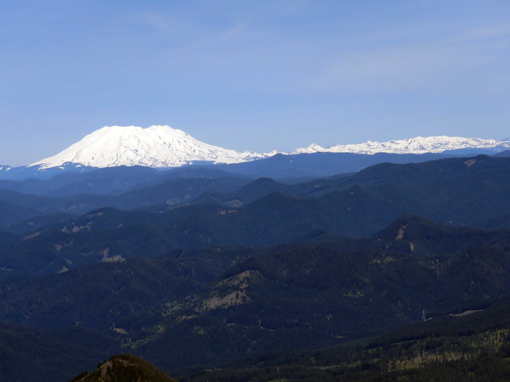 StHelens
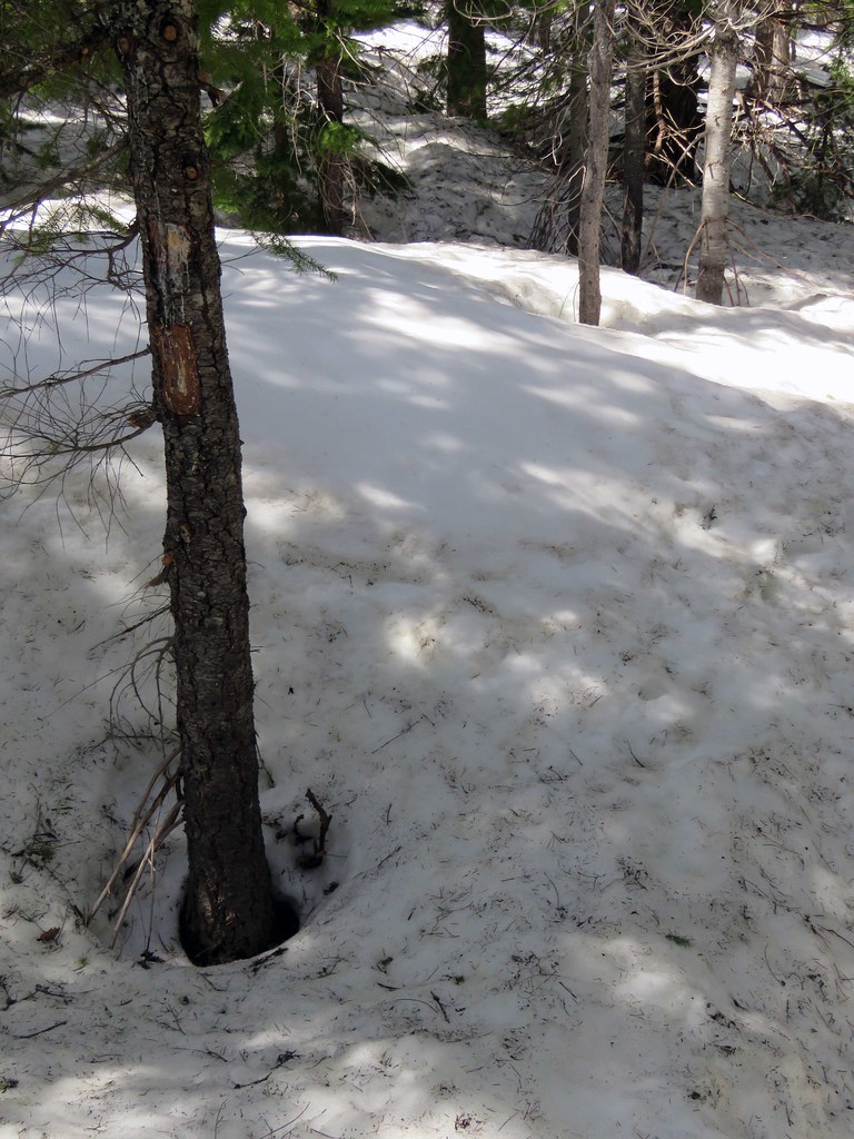
On the way to Defiance Trail I stopped off in the snow for some looks.
 East
East I was all by myself up until the intersection of Mitchell Pt and Defiance Trail and then I started seeing lots of people. With the closure the weekends are going to be busy with folks getting their Defiance fix - get there early.
Historic Columbia River Highway construction
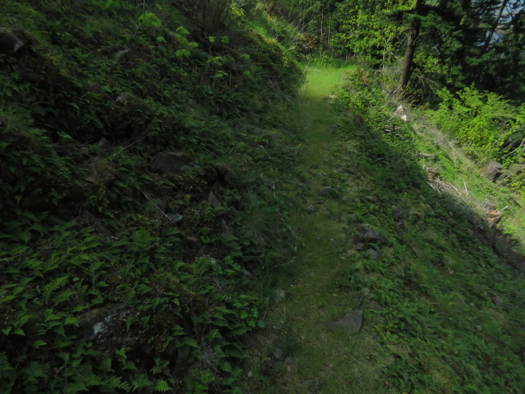
Rather than return all the way on Defiance Trail I took the abandoned section of Defiance Trail down to the power line access road and walked the section from there back to the trail head to explore the construction being done to this section of the HCRH restoration.
The abandoned segment takes off from the current trail shortly after the current trail turns east at the power line right of way and is still in good shape. The trail can be followed all the way down to the 1970s trail head off I-84. What I believe to be the old trail head marker is still there off I-84 last time I looked.
 OldDefianceTrail
In one of their hiking books, the Lowes describe this staircase used to connect the trail to the power line access road. Still got a few years left in it.
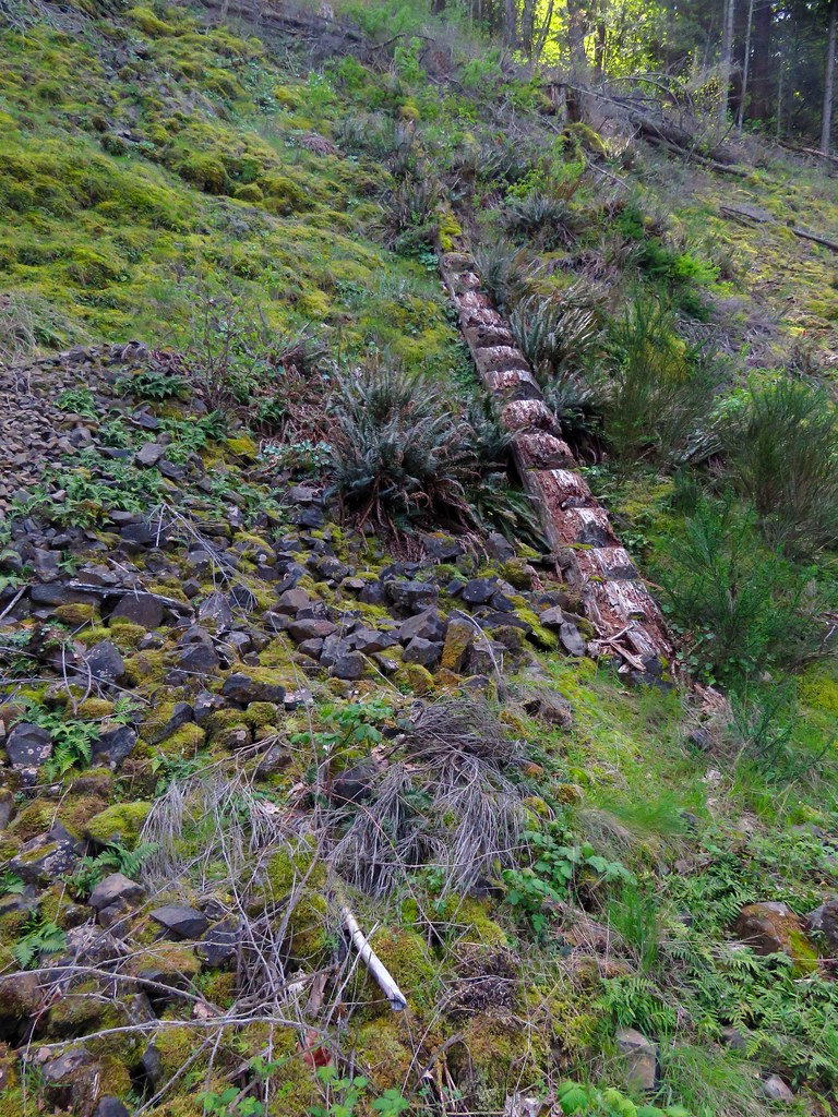 Stairway
You can go west on the power line access road to pick up the rest of the trail going down to I-84. Today I went east to explore the construction.
At the intersection of the power line access road and the HCRH work the westward route of the HCRH going towards Lindsey Creek is going to follow the shoulder of I-84.
 RoadsidePath
The construction follows the old roadbed.
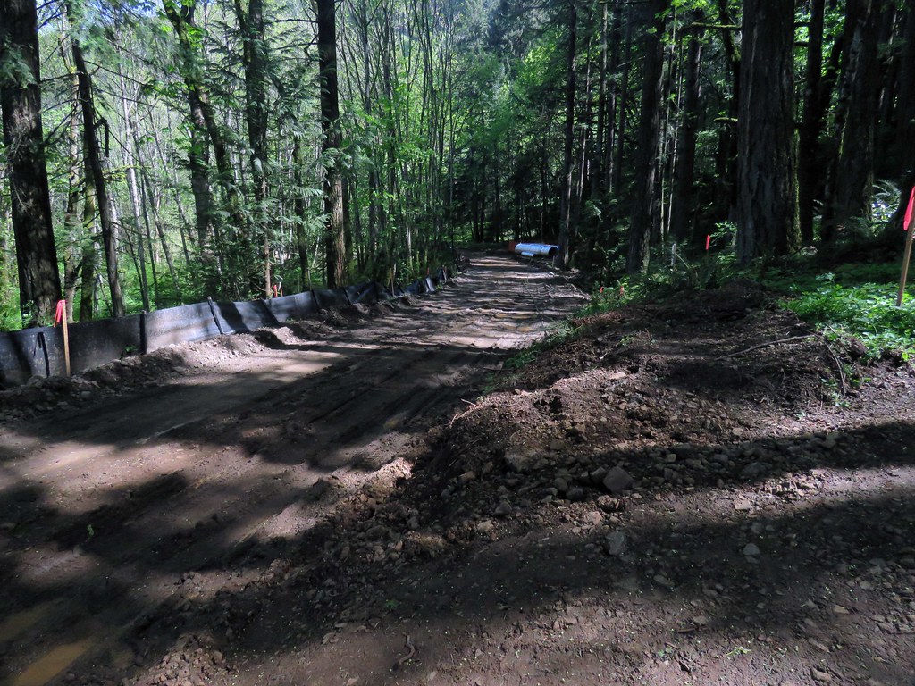 HCRHWest
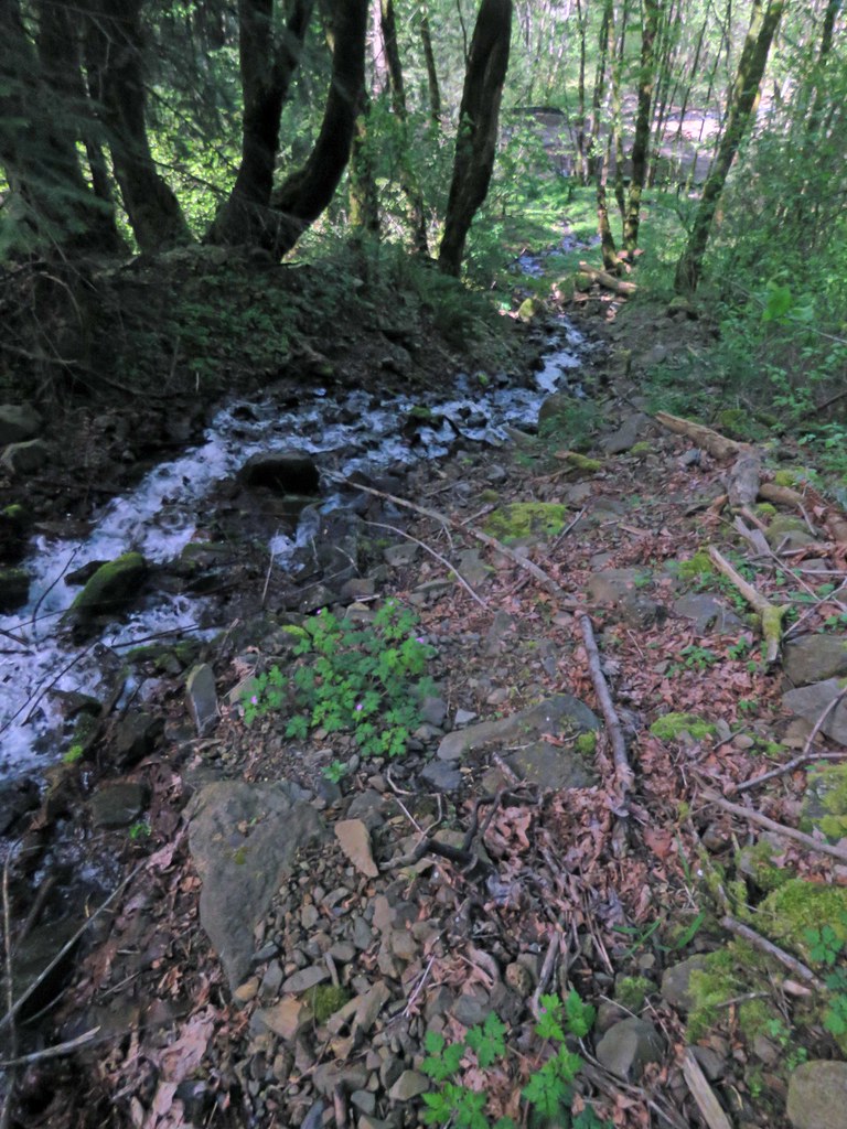
I walked along the construction and came to the falls at Wonder Creek. As I passed by I noticed there was no bridge or culvert for Wonder Creek, curious. What happens is that Wonder Creek disappears into the rocky ground before it reaches the road.
Mysteries of Wonder Creek; the falls
 WonderCreek
The cascades:
 WonderCreekNorth
The vanishing - never to be seen again:
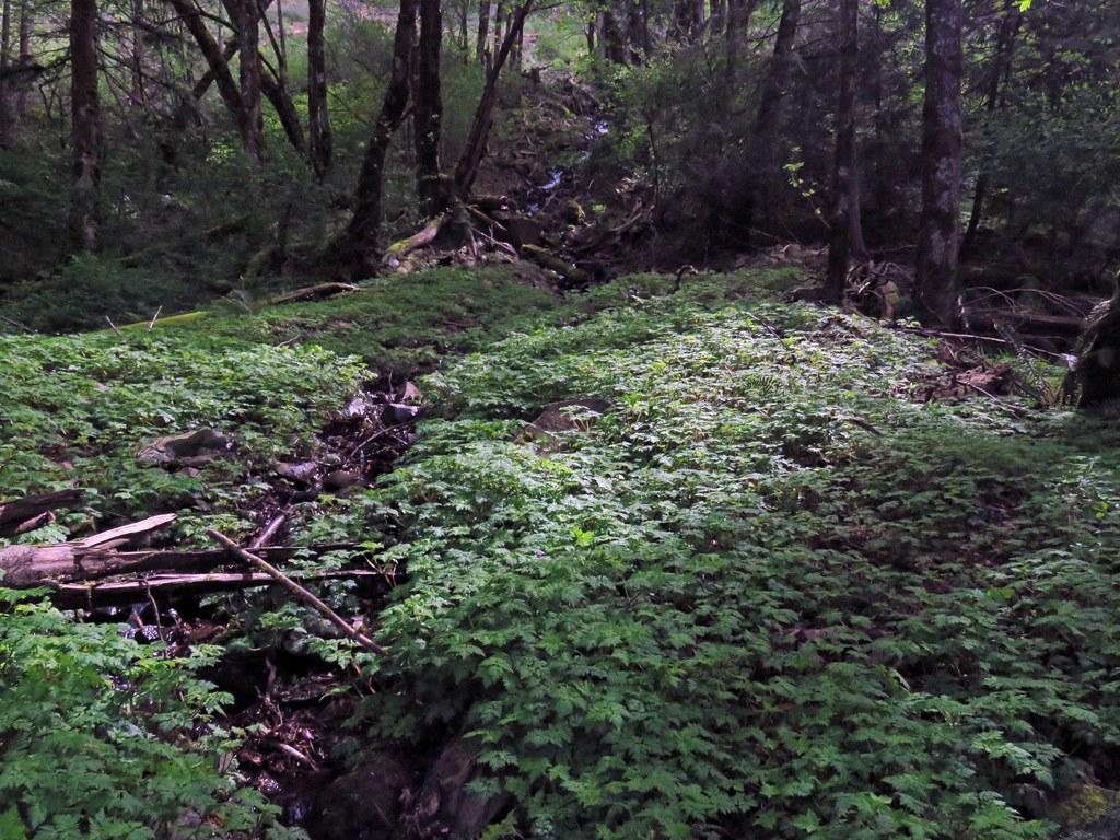 WonderCreekGone
Next over going east is Warren Creek and the construction of a bridge. There is some strange construction going on here and I suppose it will make sense when completed.
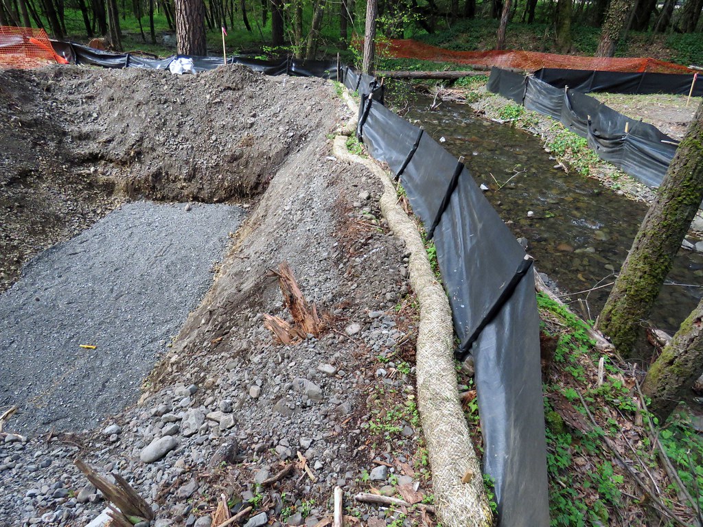
Looking west from the west end of the bridge.
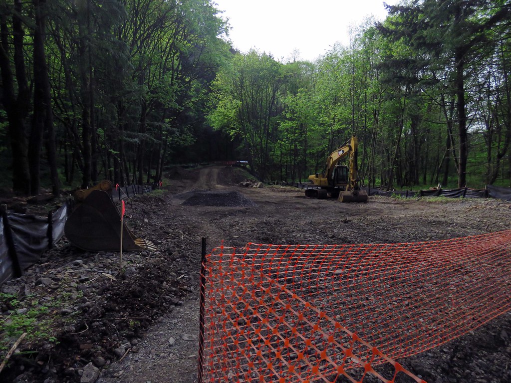 WarrenCreekWest
There is this deep gravel filled hole that is obviously going to be the foundation of the west end of the bridge across Warren Creek. Warren Creek itself is just on the other side of that black barrier on the right in this photo.
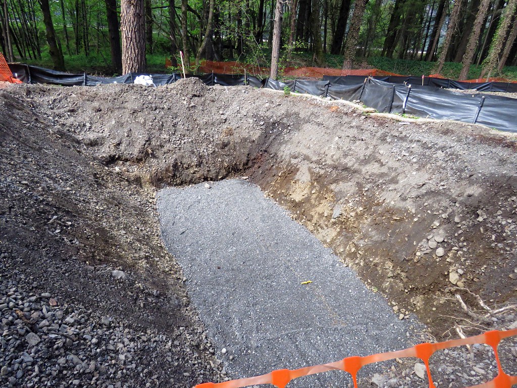 WarrenCreekBridgeWest
Here is the big pit and Warren Creek - really weird to look at - I'm surprised water from Warren Creek doesn't do some subsurface flow through the soil to fill the pit.
 WarrenCreek
This is a look at the whole bridge layout from the east end looking west.
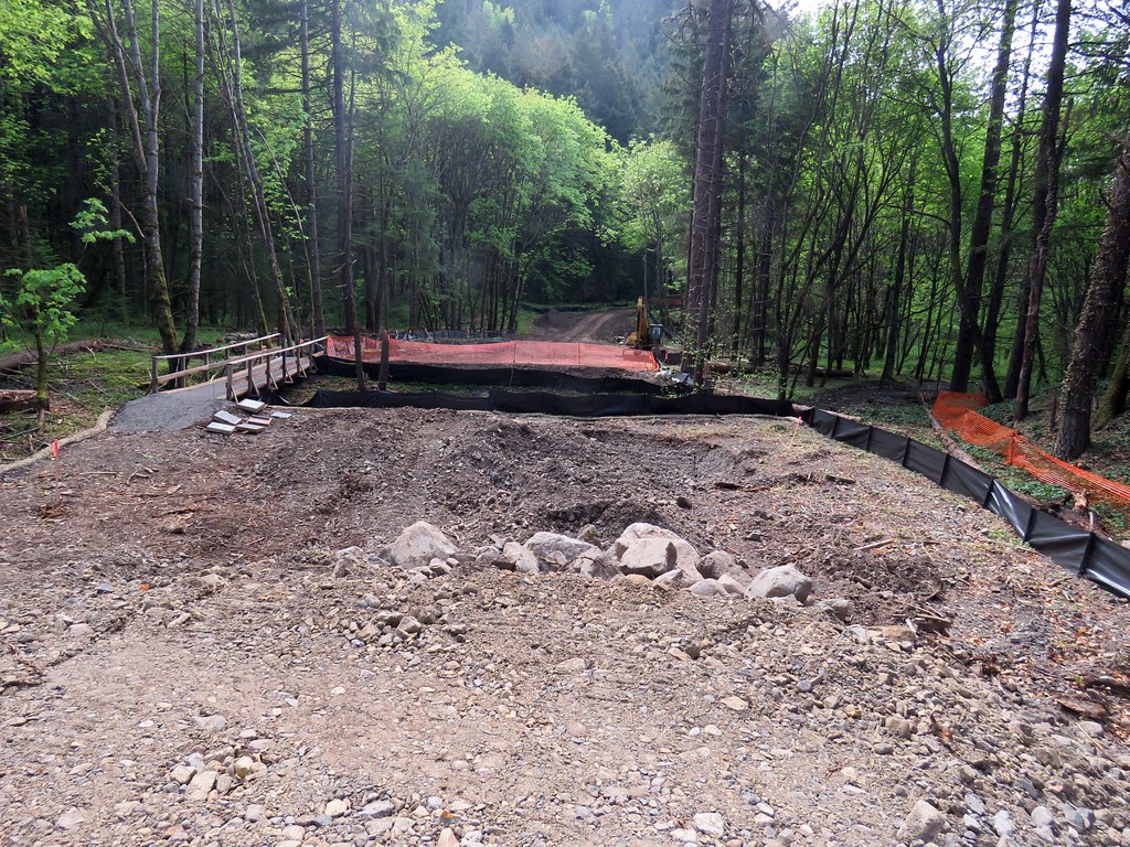 WarrenCreekBridgeEastEnd
Another puzzling piece of construction - what is this going to be? That is Hole-in-the-Wall Falls in the background. Observation platform?
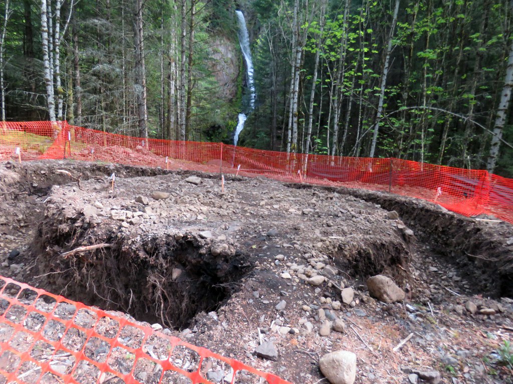 WarrenCreekStructure
Finish up with a shot of Hole-in-the-Wall Falls.
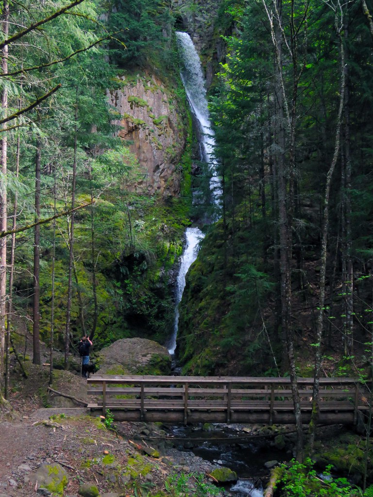 Hole-in-the-Wall
Nice outing and interesting construction. In my mind not that useful without the section around Shellrock Mountain to connect the whole thing with Wyeth.
--Paul
edit: Hole-in-the-Wall rather than Tunnel

