
We left the upper Eagle Creek parking lot at 7:30am.
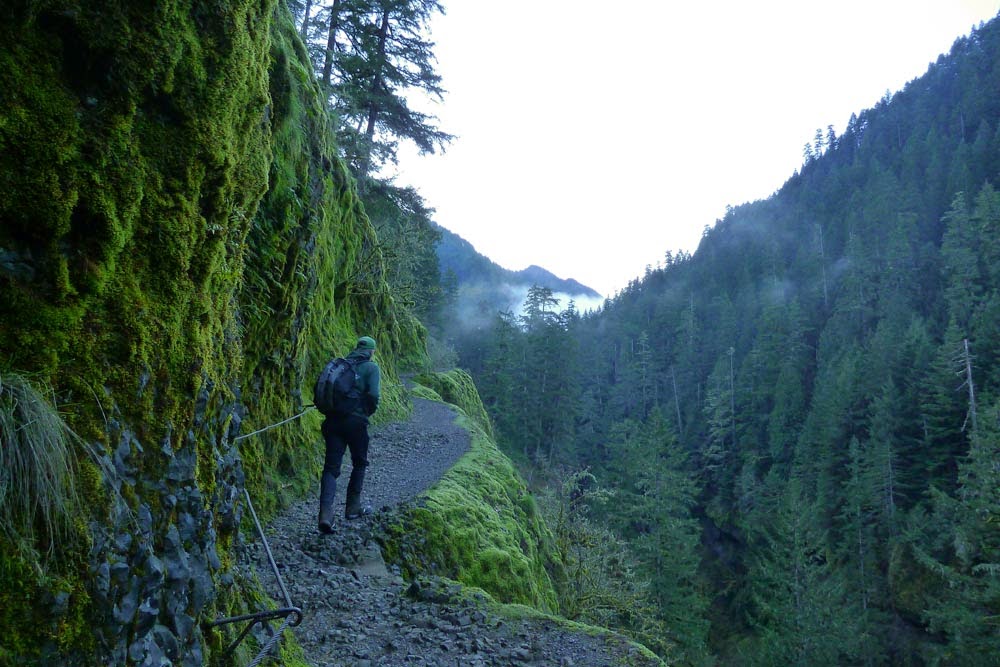
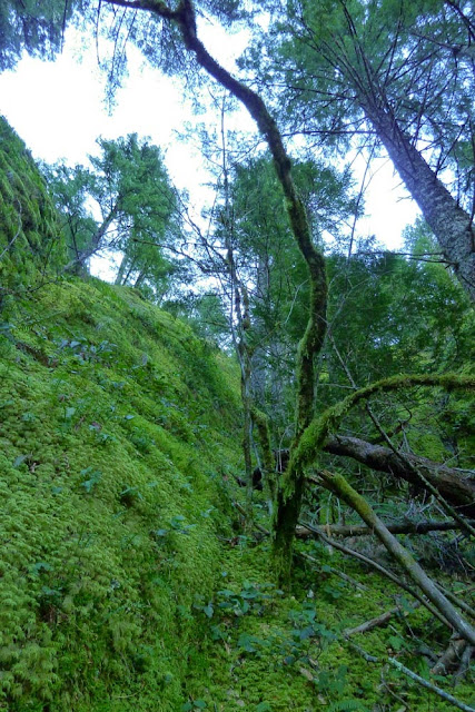
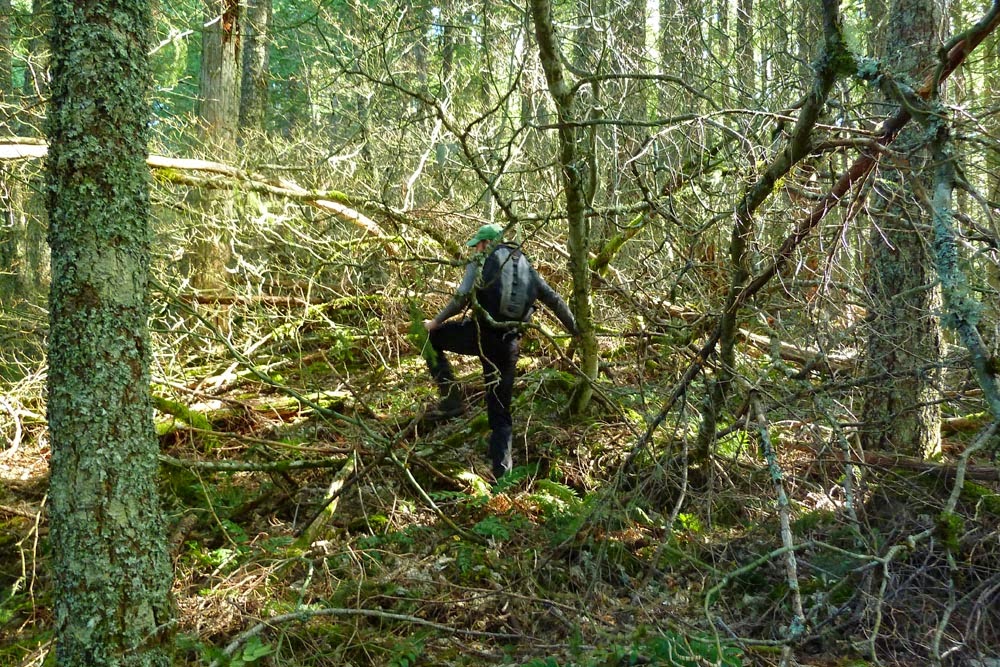
After crossing the Fern Creek bridge, we left the trail and started heading up the steep hillside, fingers crossed that it wouldn't cliff out.
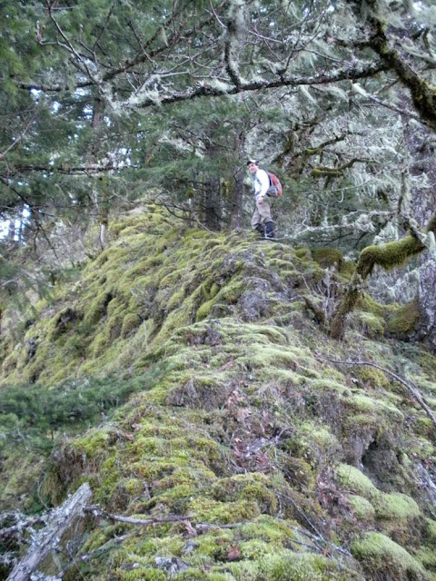
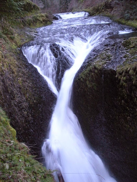
The only way up was this steep slot.
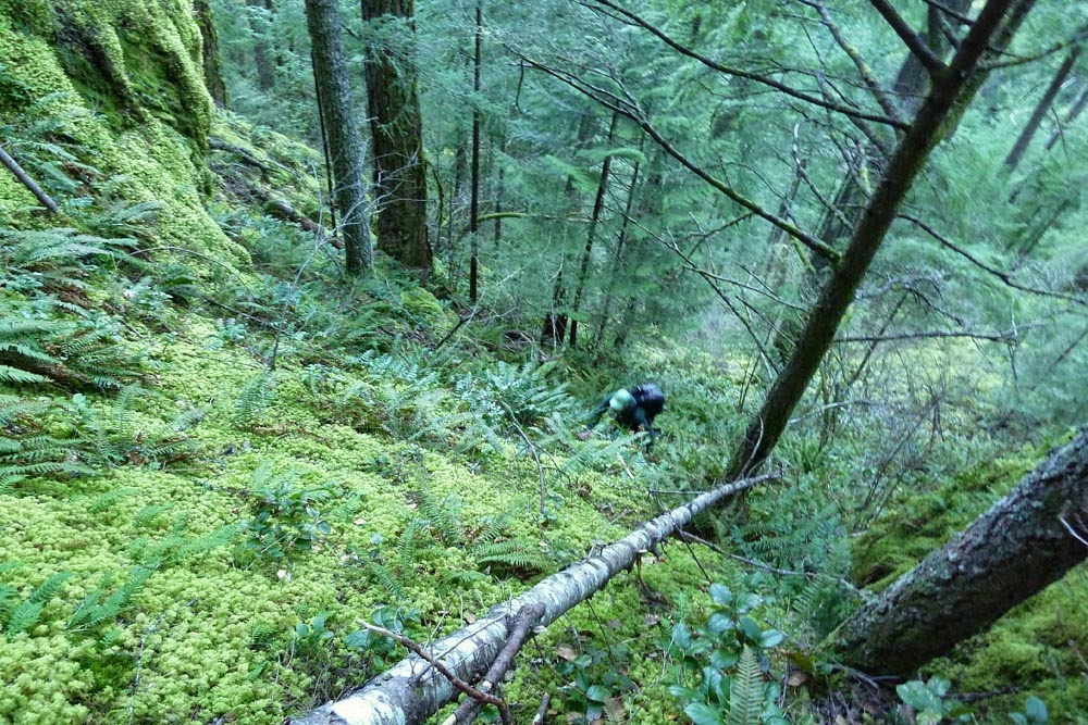
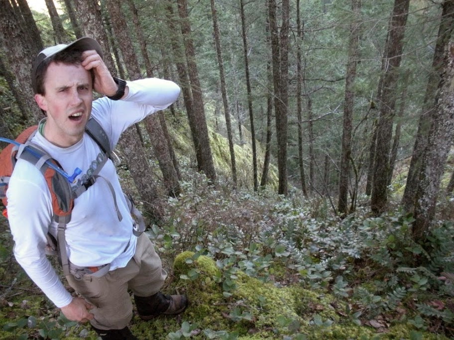
Hard to capture the steepness in photos. It was not uncomfortable, but slipping would suck. For most of it, there were some trees and sword ferns to grab.
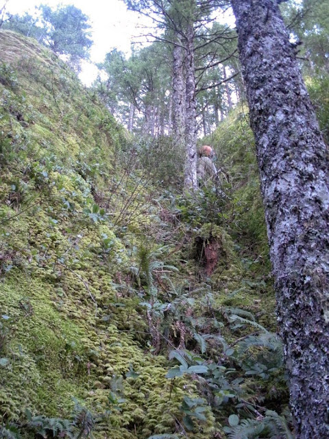
The silly thing looks even steeper from the top. We were a little dumbfounded it'd worked.
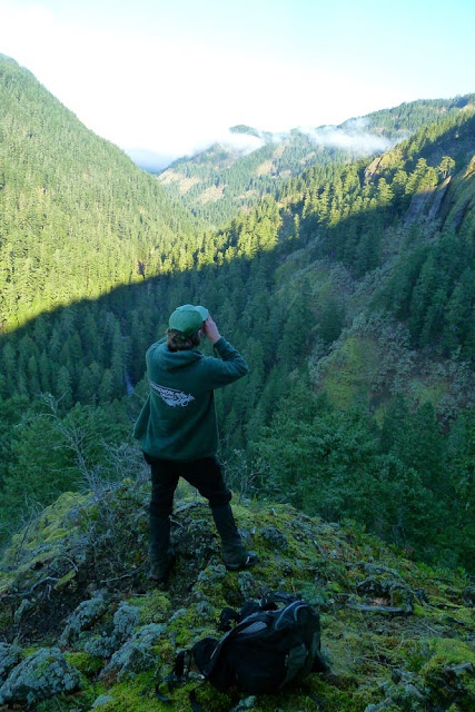
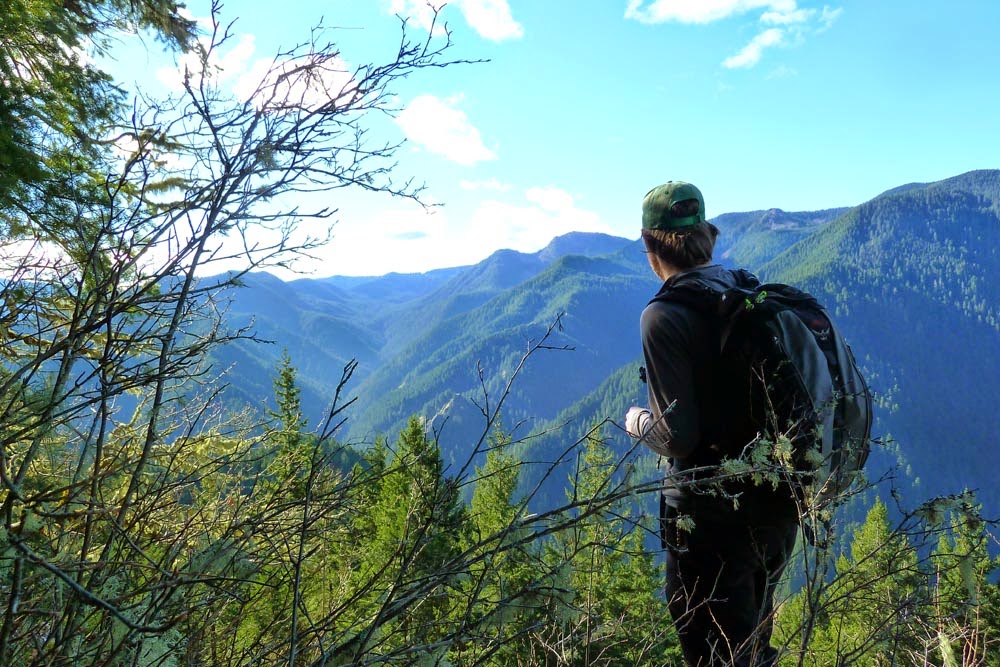
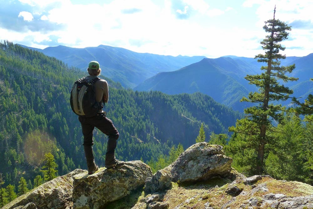
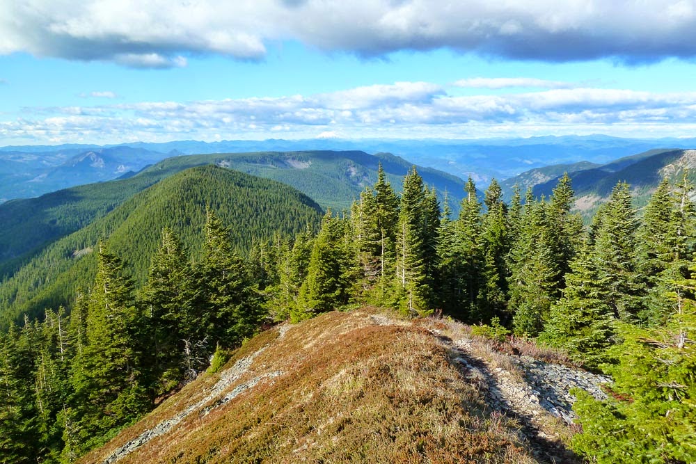
However, the top of the slot yielded a magnificent and rarely visited viewpoint. Looking north:
South:
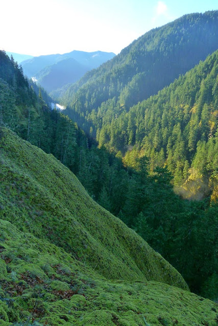
Precipitous, too.
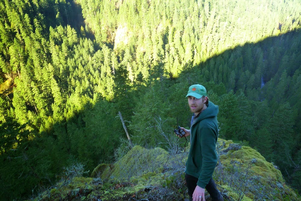
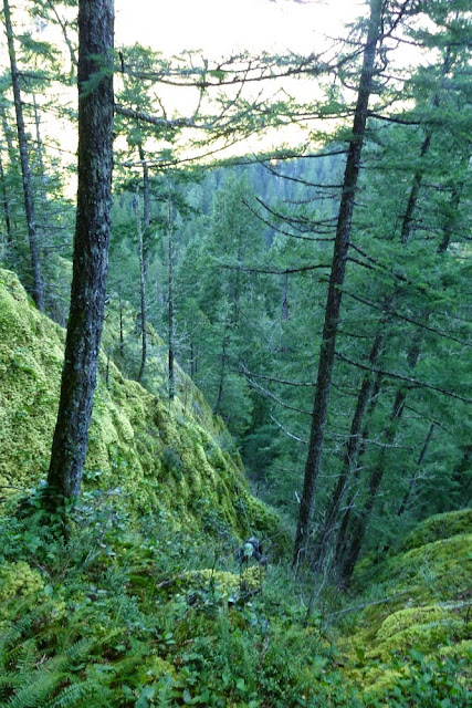
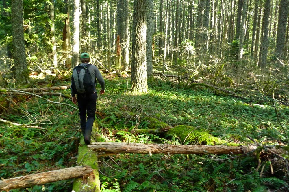
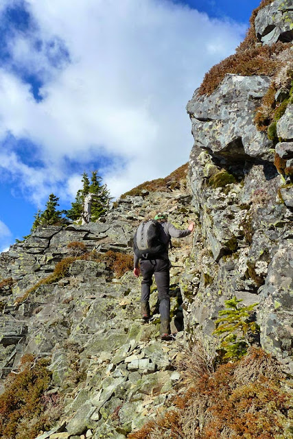
The ridge continued above us. It was wonderful to follow.
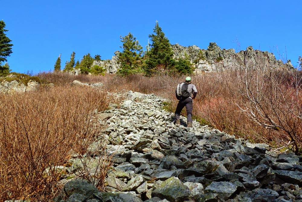
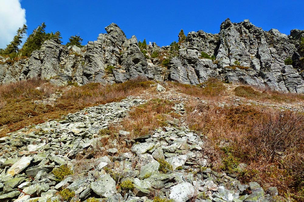
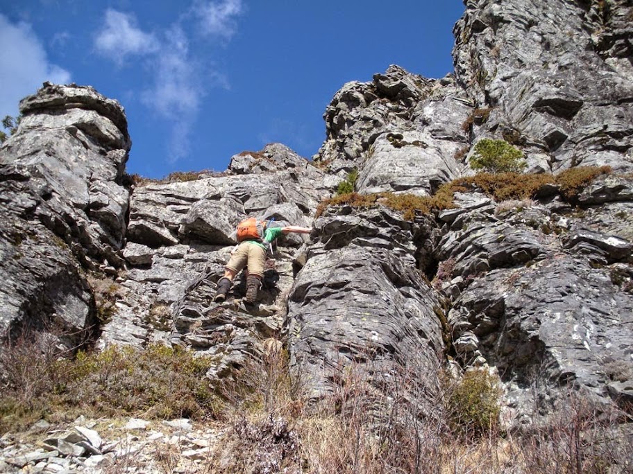
Around 2400 ft we hit a 30-ish ft rock step.
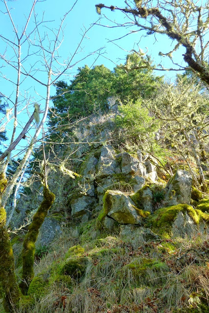
After scaling the prow - a little 5th classy, kind of exposed, a little loose up top. Lower stuff is solid. Non-climbing options exist on the hillside to the climber's left.
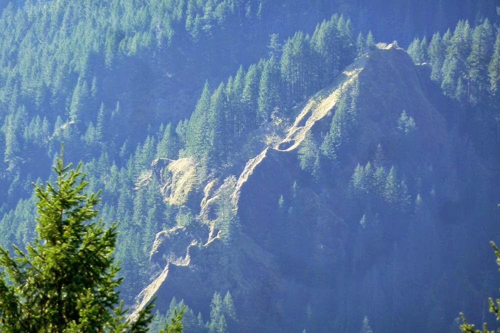
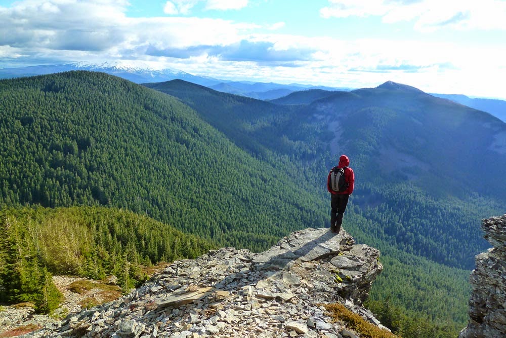
Great view across the valley at the knifey sections of 4.5 Mile Bridge Ridge (aka Bear and Antler Ridge).
Note that the trail log is above the 2400 ft rock step.
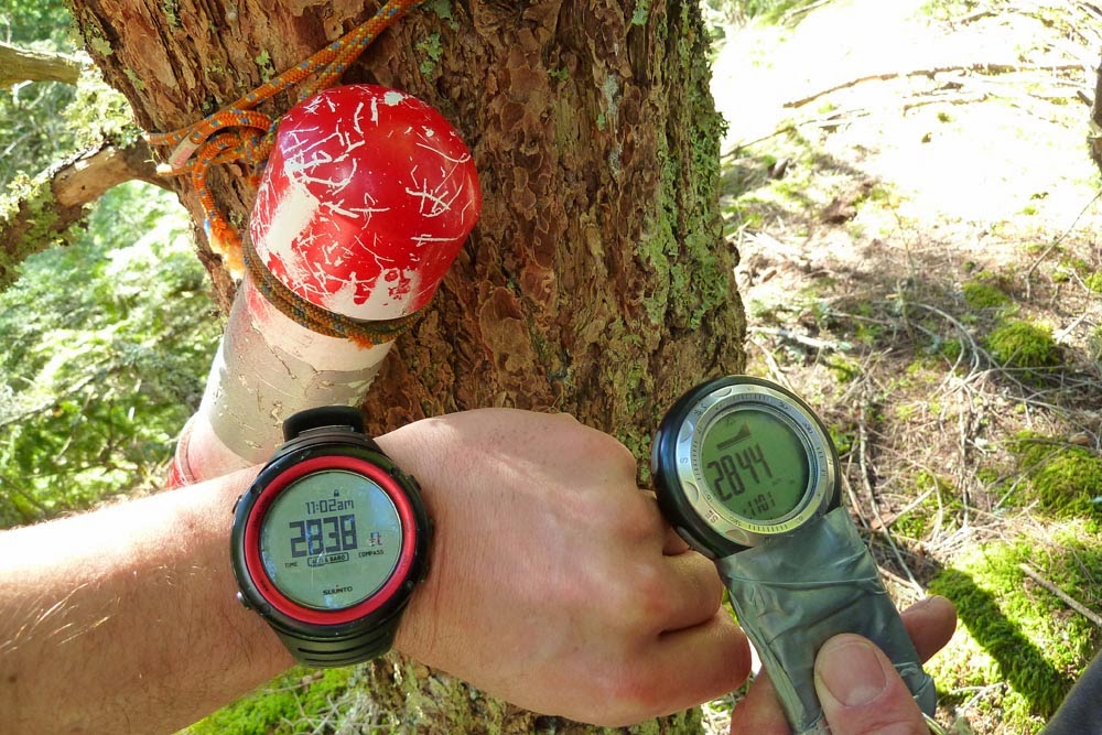
Northridge! Thank you for adding new, dry paper and pens to the trail log! But please use less super glue to close it back up next time!
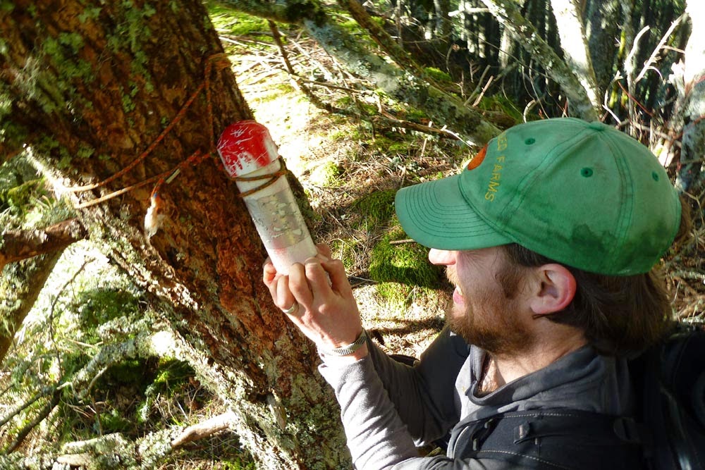
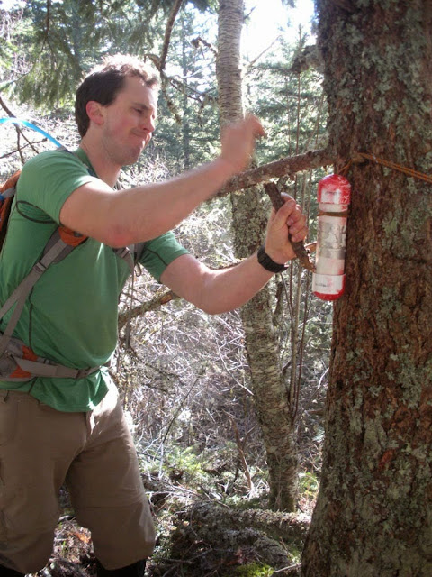
15 minutes of prying and hammering later, we got the damn thing open. While we had a snack break, I tried to dry out Viking's original paper in the sun a bit, but it's still pretty damp.
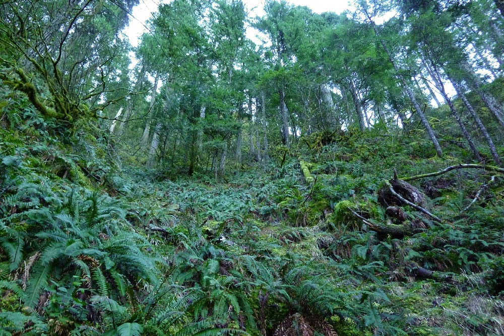
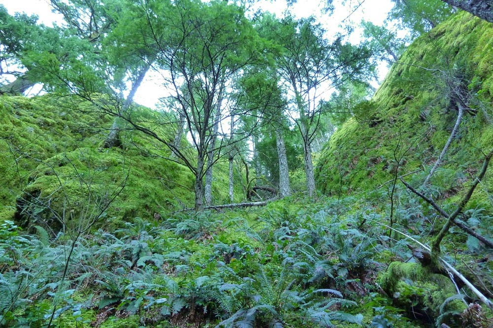
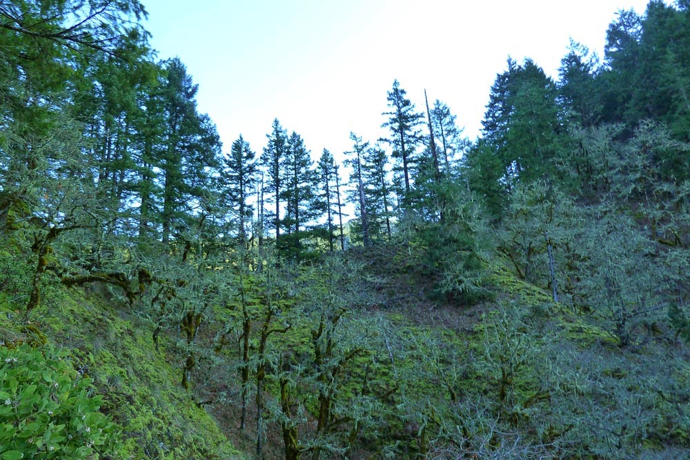
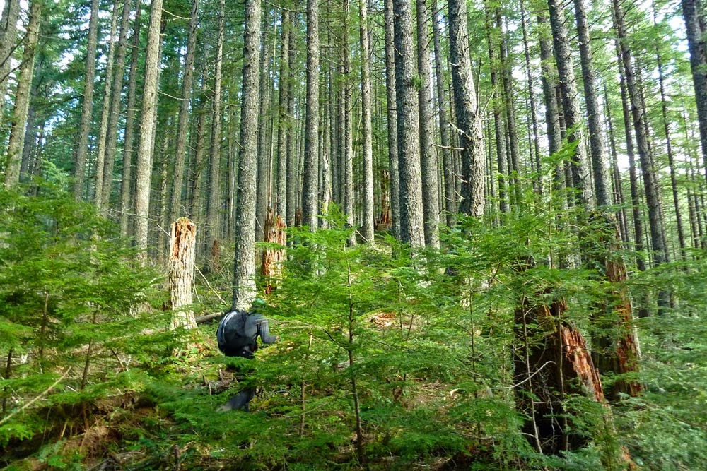
Onward into some brush.
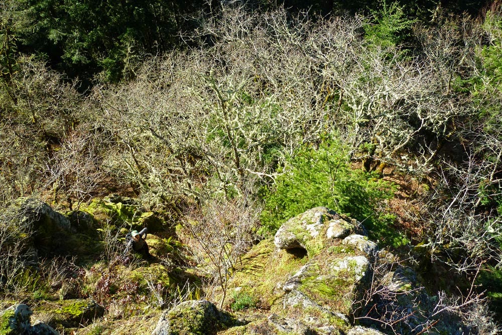
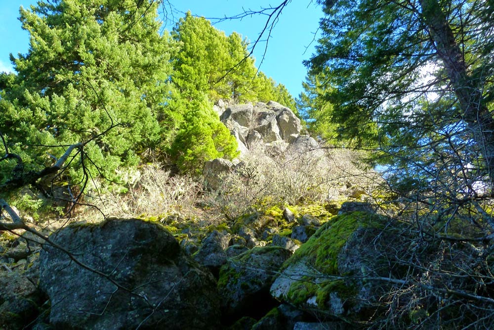
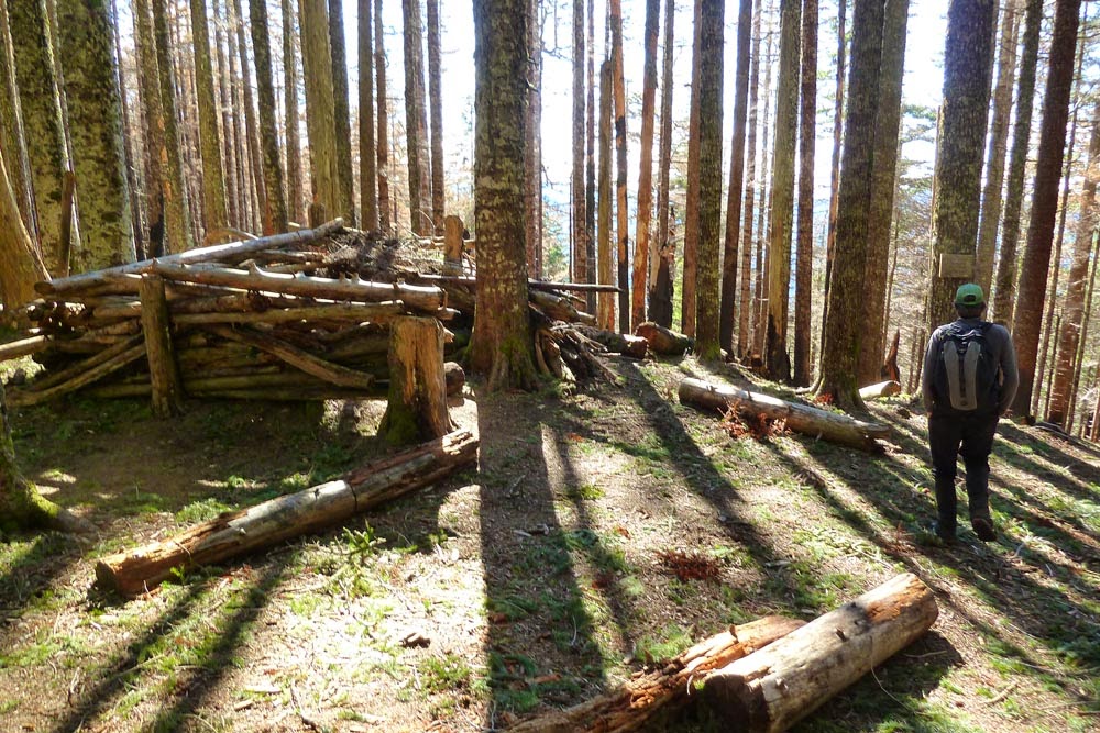
The big rock formation around 3000 ft. Many fun and easy scramble options up it.
Cairn up top - yours, Viking?
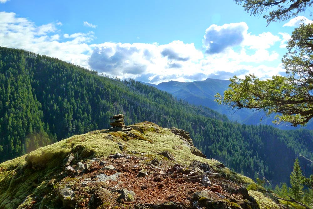
Really wonderful view. We'd already eaten, but this would be an ideal lunching spot.
The last 1000 ft of climbing is just steep uphill through the forest, kind of like the last section of Ruckel Ridge.
We reached the Benson and then motored over onto the PCT.
After a brief stop to climb that rock stack at the saddle, we continued to Chinidere and veered up its west face.
Mellow scramble up. Beware of knocking loose bits onto your partner, if applicable.

Windy up top. Not a speck of snow in sight, pretty different from the last time I was here in February.
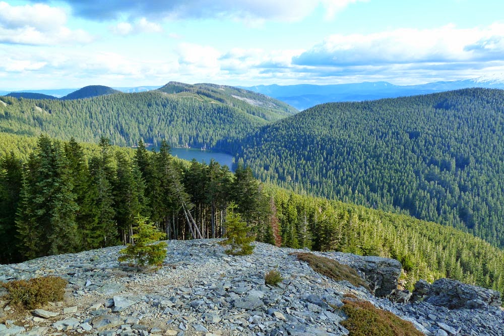
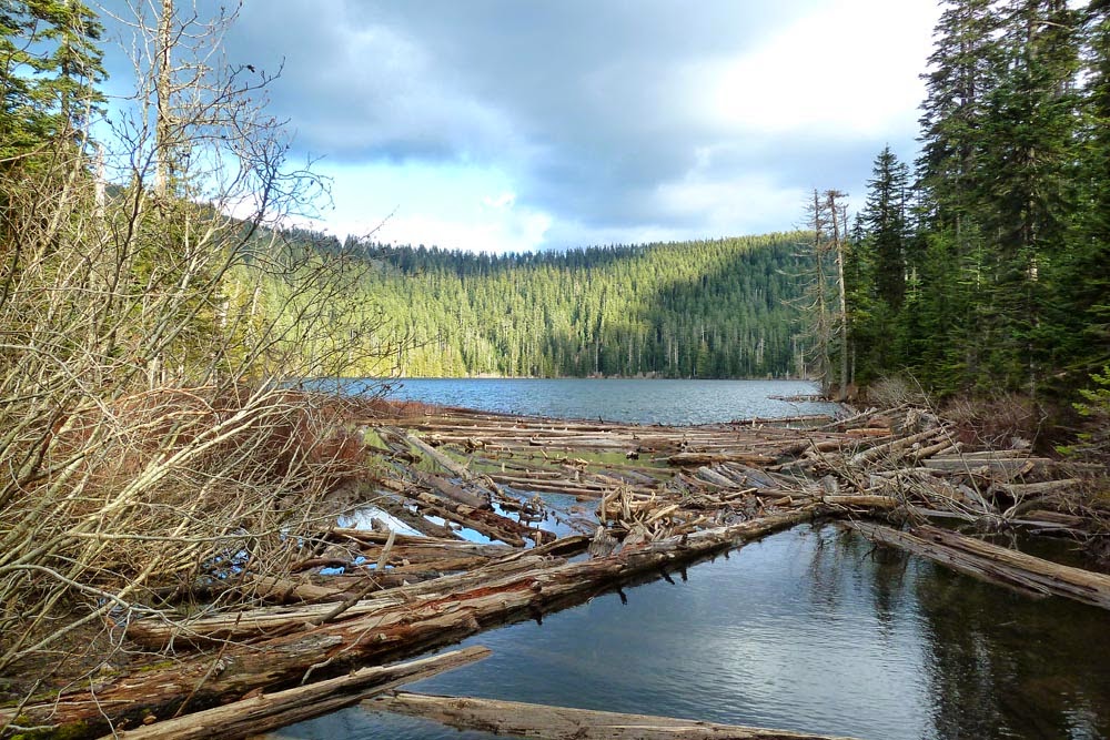
Wahtum Lake is decidedly unfrozen.
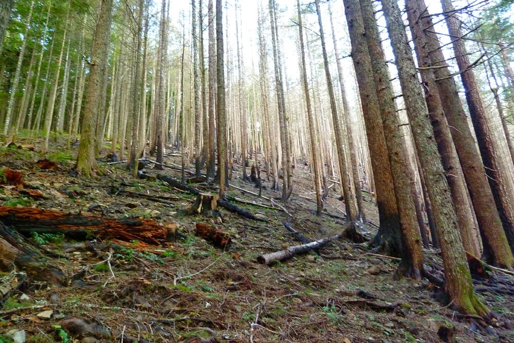
When did this burn happen between Wahtum and the Indian Springs junction? I don't remember it from the last time I was there in 2013...
Usual slog back out, but lovely to have the Eagle Creek trail to ourselves at that late-in-the-day hour. It really is magnificent, if you avoid the crowds and just enjoy the scenery. Headlamps went on at 4.5 mile bridge around 6:30, and we were back at the car a little before 8.
About 22.5 miles and 5500 ft EG.
<map redacted>
A little cold for "June," but a lovely, full day out!


