On the way up:


And now back to the grind . . .

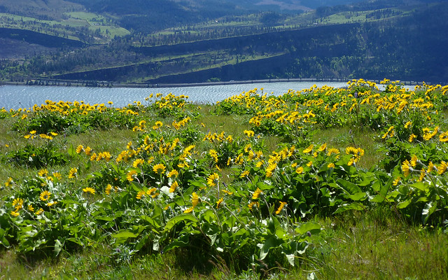
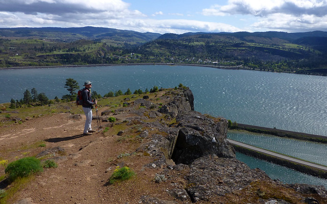
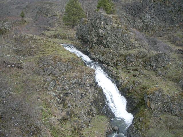
Syncline has the running water. Crybaby has the cliff views. But Syncline still has decent views, so I went that way.aircooled wrote:Nice! My fave is the Crybaby Trail, just because of the name. It'll be prime time out there soon.
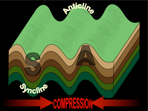
Yes, it is the Labyrinth Trail, and I use that interchangably with syncline, though technically I think it is all part of the syncline as a geologic feature. I've also heard that it actually is not a syncline, it is an anticline. Somebody with more geological background would need to weight in on that.SonOfTamarack wrote:Isn't that the Labyrinth trail? I thought Syncline was the Coyote Wall trail, along the clifftops to the west?
Probably depends where you're standing. The only difference is the direction of the bend:drm wrote:Yes, it is the Labyrinth Trail, and I use that interchangably with syncline, though technically I think it is all part of the syncline as a geologic feature. I've also heard that it actually is not a syncline, it is an anticline. Somebody with more geological background would need to weight in on that.SonOfTamarack wrote:Isn't that the Labyrinth trail? I thought Syncline was the Coyote Wall trail, along the clifftops to the west?

I think it's more compressed and folded up. There's definitely a syncline across the river:retired jerry wrote:I thought it got pushed up by the cascade range, so on the east side it slopes to the east, on the west side slopes to the west. Maybe on the west side it gets so much rain you can't see it.