
This was, it was occasionally mentioned, my idea for a destination. I'd done this loop about a year ago for the first time, and really wanted to use it to again gauge whether I'd done much to improve my fitness level. I think I can say, "a little." Not quite there yet, but better. It's still a butt-kicker. It was Allison's first time doing the entire loop, and I don't think it phased her in the least.
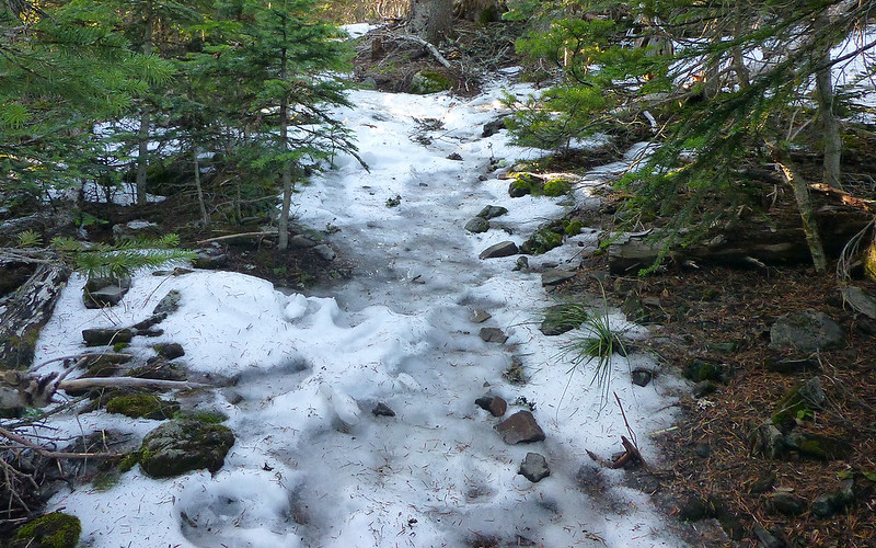
The drive out wasn't bad at all, despite warnings of freezing fog. Only a few bridges were whitened. But pulling into Starvation Creek, the offramp was extremely slick, and we could slide around in the parking lot in our trail runners. Temp was right around freezing, which was quickly forgotten as we started the near immediate ascent up the Starvation cut-off. It's really weird; I know, I have measured(!), this route is not as steep as Mount St. Helens. But it sure as heck seems moreso. Must be the trees?
Anyway, as we climbed, the day just kept getting warmer and more pleasant. Despite considerable ice, and a bit of snow, for the last 1000' or so, the summit was simply glorious. We each chose a "lizard rock" to bask upon, and enjoyed lunch with an incredible view of Mount Hood. I even got a bit of a sunburn!
Several thermometers (reality check!) registered a balmy 71°F during this, the very last week of the year. It was hard leaving after 45 minutes, but we each had dinner dates in town and had to face the plunge back down the Defiance Trail. We were back at the jeep about 3 hours later, and heading home as the last rays of the day were on top of Dog.
A few favorite photos from the day...
Peering over a frozen cliff, 1200' down to where we'd started just over a mile ago. Dog Mountain in the sun across the gorge.
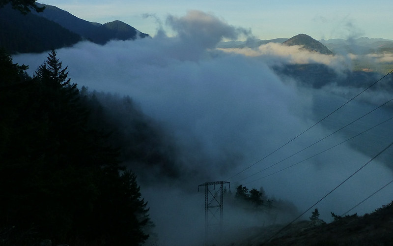
Thin layer of fog/clouds swirling about through the gorge, which we quickly climbed through to enjoy from above.
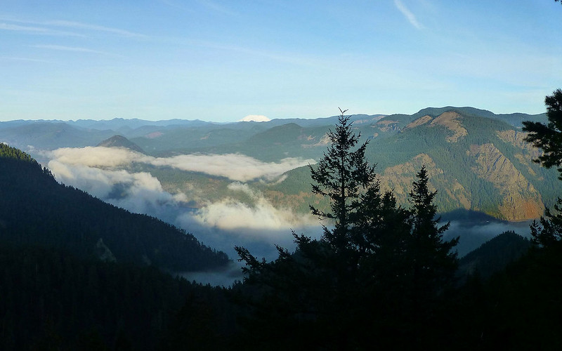
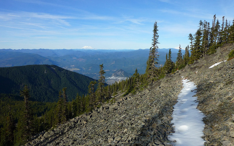
By the time we'd hit 2400', the volcanoes started popping out, and all signs were this was going to be a glorious day above the clouds.
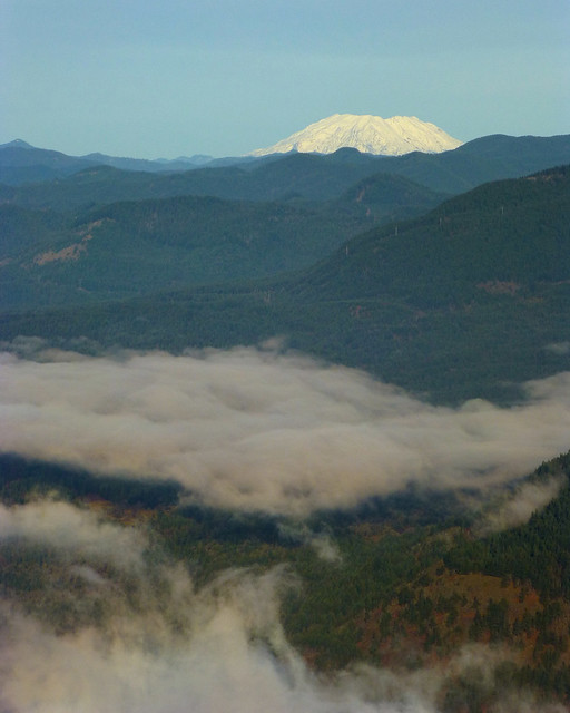
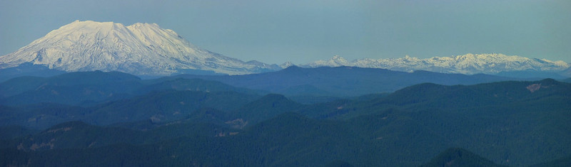
Gratuitous Mount Saint Helens shot.
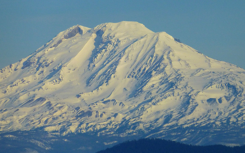
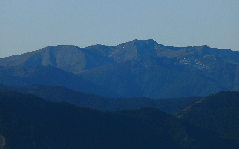
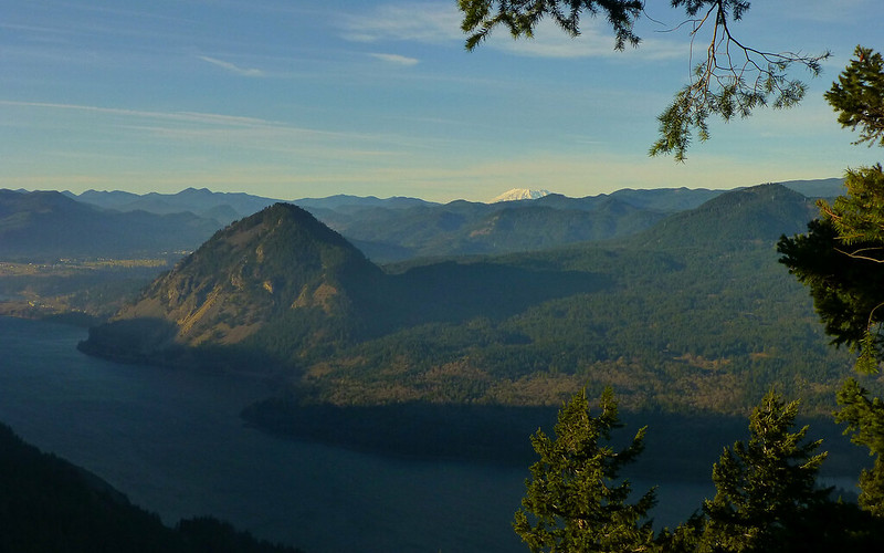
Mount Adams loomed large as well.
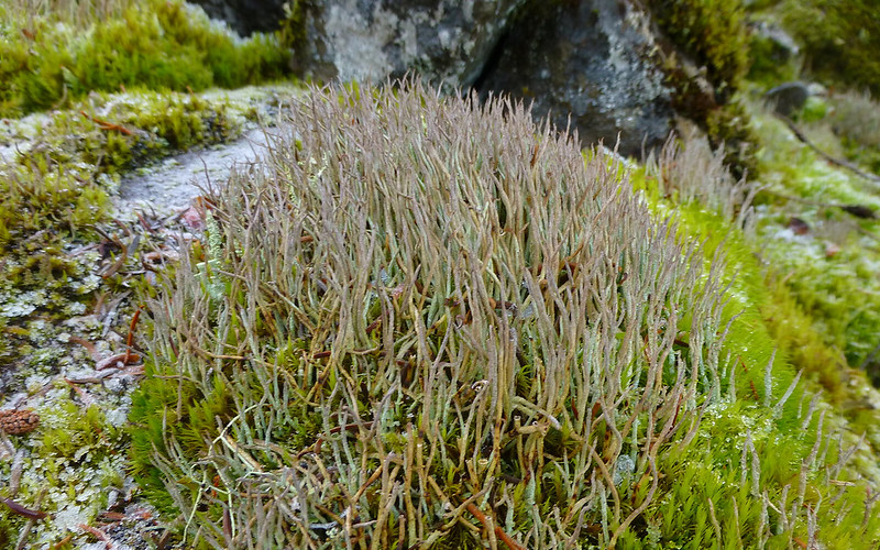
Some sort of hairy lichen in the mossy talus field at 3200'? Or does moss do this? Never seen it before. Note that it's still icy ground.
Our only view of the summit hinted at a bit of ice/snow up above, but it sure didn't look like much!
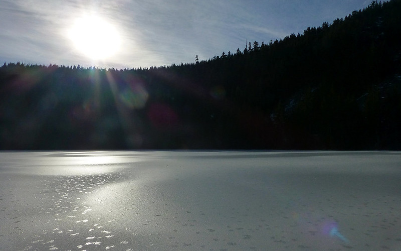
Warren Lake was just beautiful, with the low solstice sun bouncing off it.
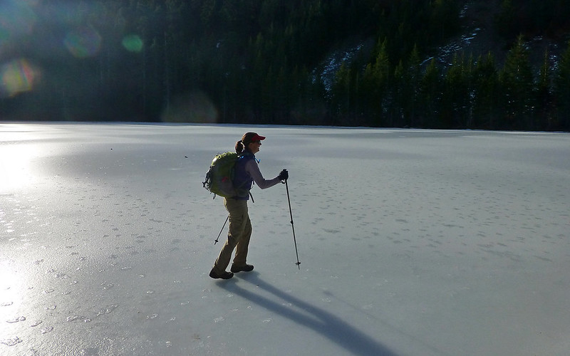
Allison was all like, "Think we should go out there!" (Didn't seem like a question.)
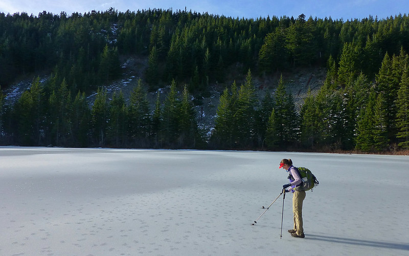
We probably killed 20-30 minutes just exploring the lake and its shores.
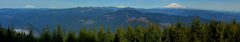
9-shot (111°) panorama showing the view to the north. I recalled a thread where it was suggested there were "no views" on this hike!
So that's where the snow is! MSH and the Mt. Margaret backcountry looks particularly white.
We rock-hopped for 1/4 mile or so, before strapping on the microspikes which made easy work of the final ascent.
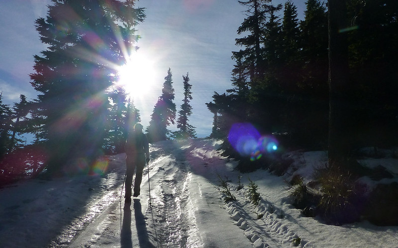
The last couple hundred yards, on the road to the summit, were glaze ice!
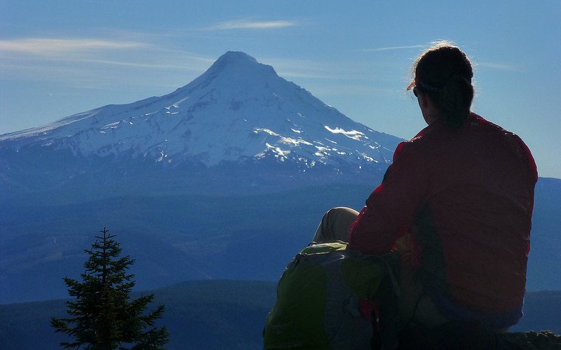
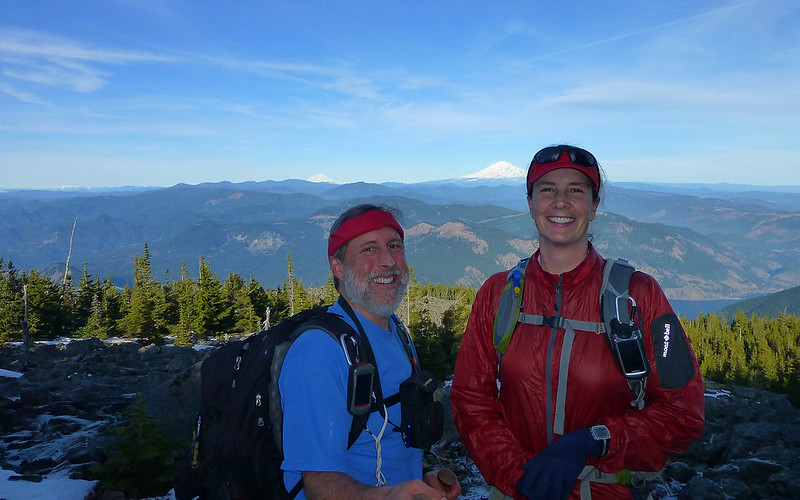
Allison established her lunch spot right beside the geodetic marker, just 19 miles from Mount Hood.
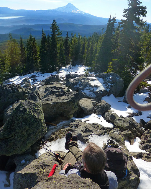
I took the next boulder down, using hers as a backrest. Sandwiches, apples, and Christmas cookies ensued.
On descent, we did the summit wraparound, to take in the northern views. So little snow!
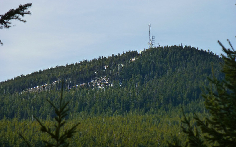
Silver Star is nearly bare-nekkid! Hardly a shred of snow!
Mile-high Allison! (Guess I'm shrinking in my old age?)
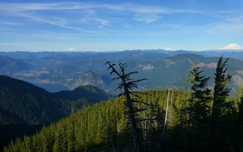
One more three-volcano view, just for the heck of it.
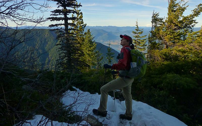
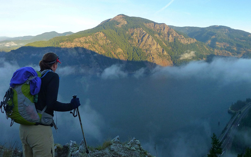
Striking something of a Lewis & Clark "explorer" pose, contemplating the cliffs above.
The cliffs above.
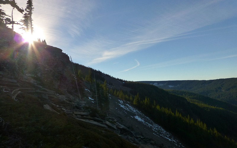
At 2:50, the low sun was already casting long shadows across the gorge.
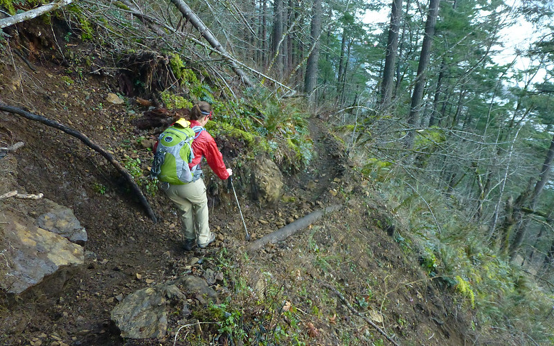
Washout repair by our own mcds is holding up very well!
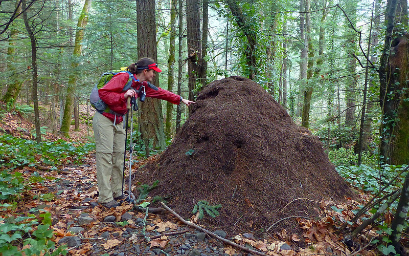
Missed the anthill-from-hell last time here. Found it this time. WOW!!!
At 4:00, back in the parking lot, the sun was almost down!
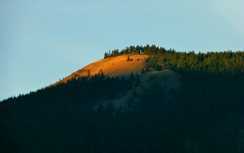
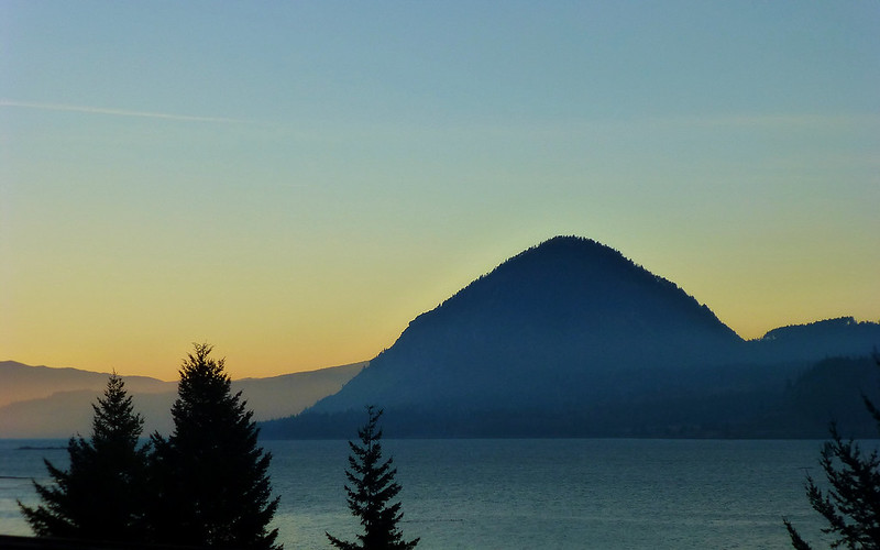
Only the summit meadows on Dog were still catching direct rays!
This was an excellent hike to (most likely) close out 2013 with. More than 24 hours later, yeah, I do still feel it. Which I'd really like to better understand. I've done steeper, longer, more elevation hikes this year that just don't have quite this same impact.
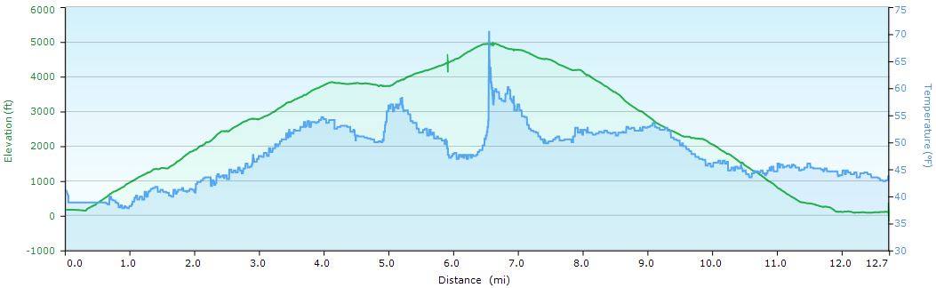
Final stats: about 12.5 miles and 5200' EG...
(Don't believe anyone who tells you there's no views on Defiance!)


