When: 12/24/13
Who: Me (Born2BBrad) and Buddy the Dog
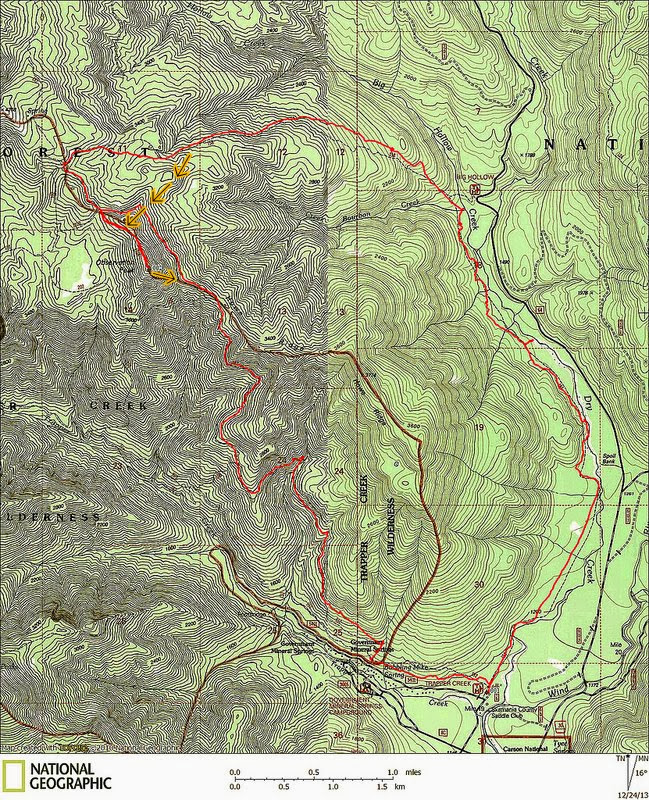
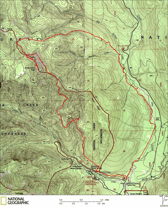
Route: Started at the Trapper Creek Trailhead to Trapper Creek Trail to Observation Trail to Observation Peak back down to Big Hollow Trail to Dry Creek Trail and back to the trailhead
Mileage: 14.93 miles (GPS Fly)
Elevation Gain: 3362' (GPS Fly)
I'm too tired and lazy to write any narrative, so here's the pictures:
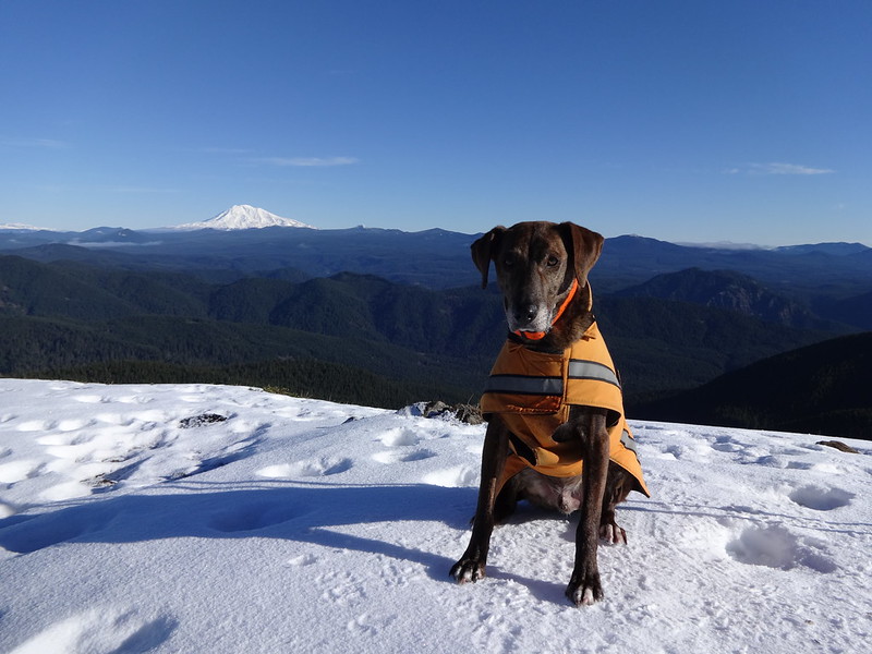
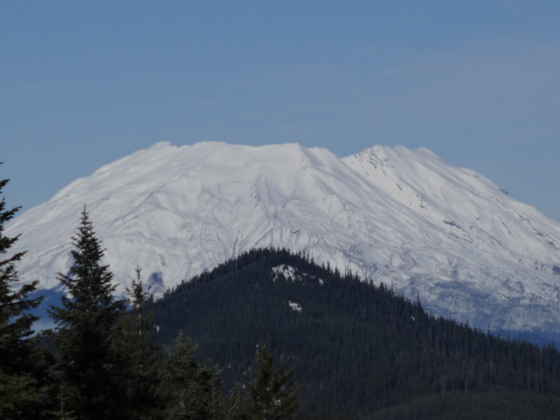
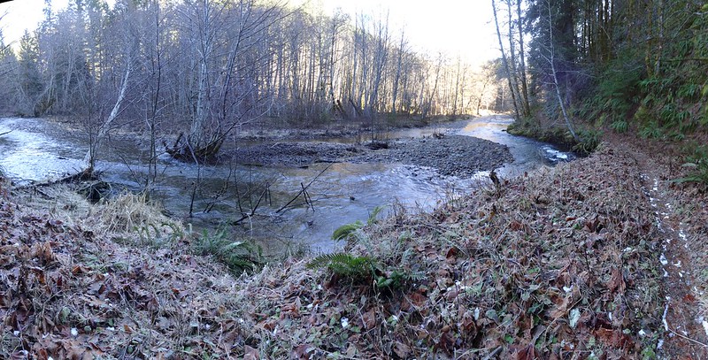
Opening picture:
Tracks in NatGeo:
Tracks in Google Earth (south side):
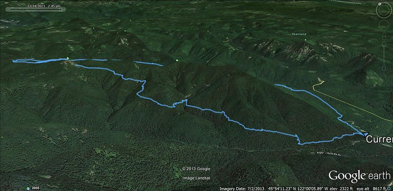
Tracks in Google Earth (north side):

Elevation Profile:

Where the Dry Creek Trail splits from the Trapper Creek Trail:
The beginning of the Trapper Creek Trail:

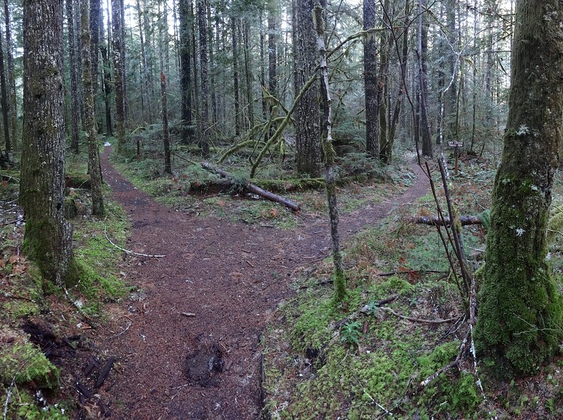
Where the Observation Trail splits from the Trapper Creek Trail:
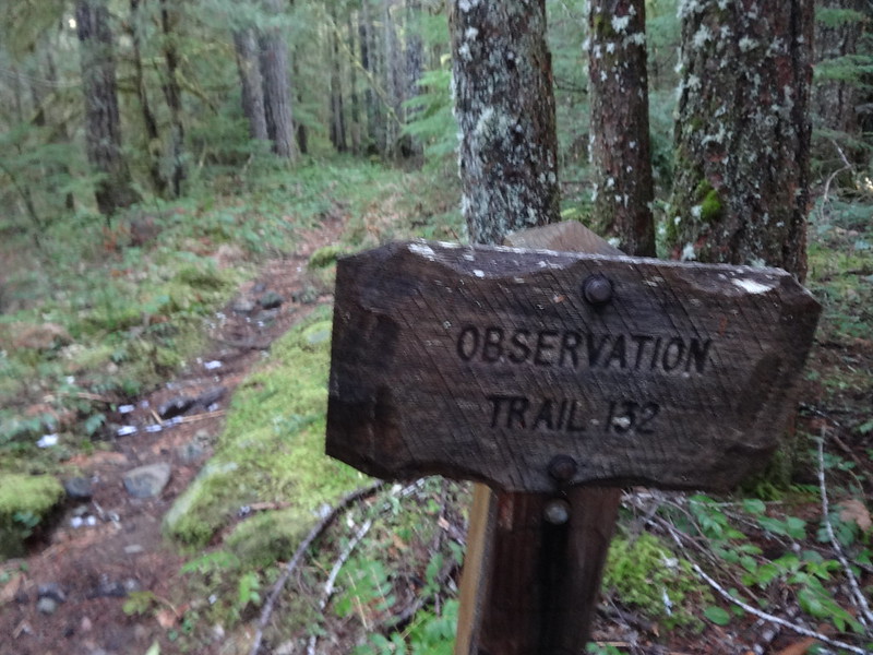
The beginning of the Observation Trail:
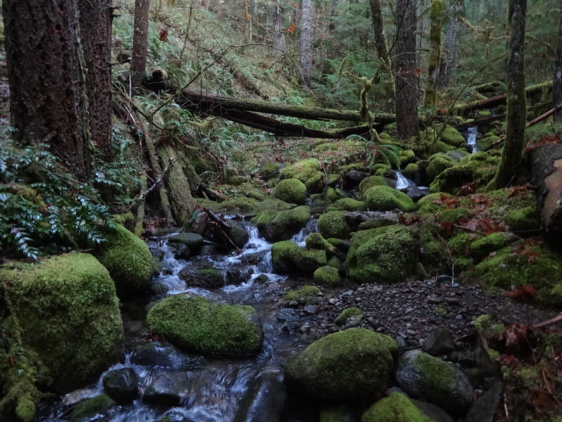
The Observation Trail crossing a creek:
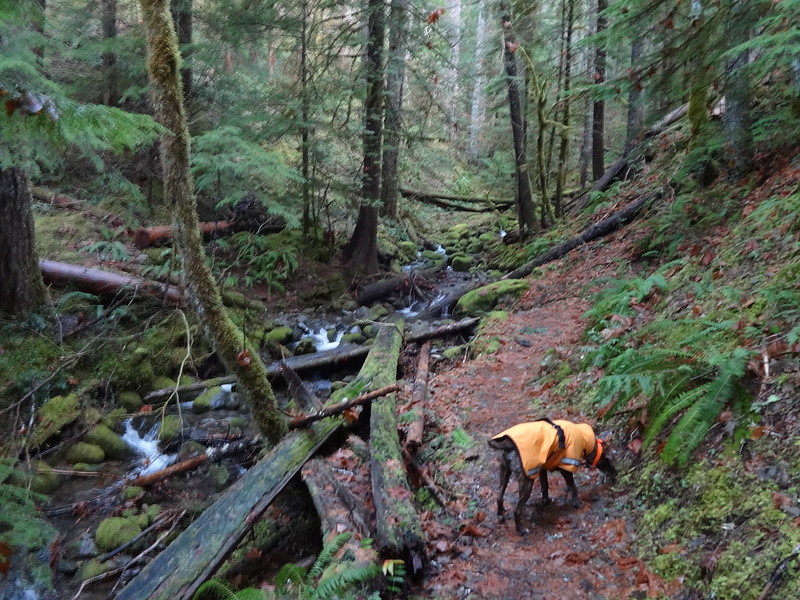
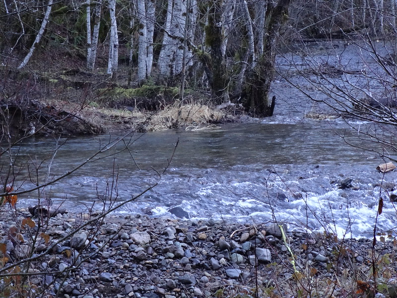
Picture of the creek. Isn't it pretty?
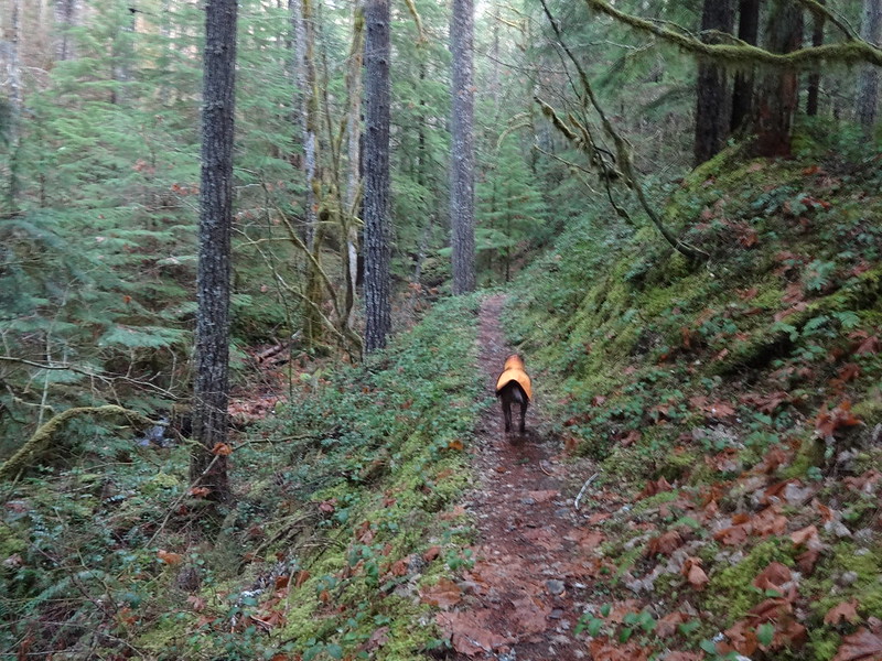
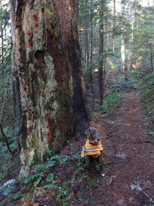
Many old growth trees along the Observation Trail:
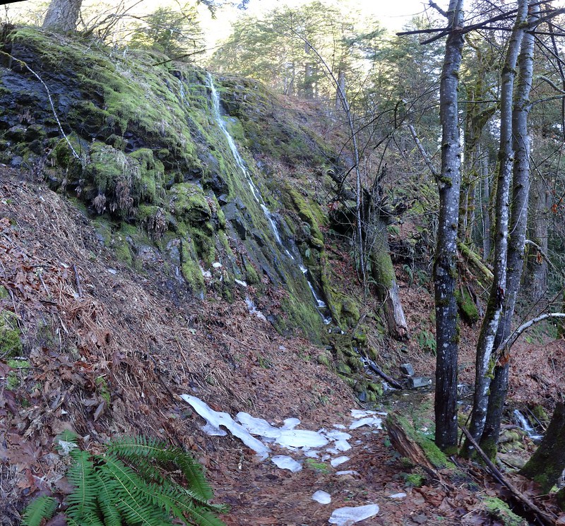
Sheets of ice that had fallen from the rocks above:
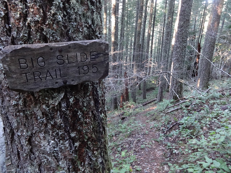
Where the Big Slide Trail meets the Observation Trail:
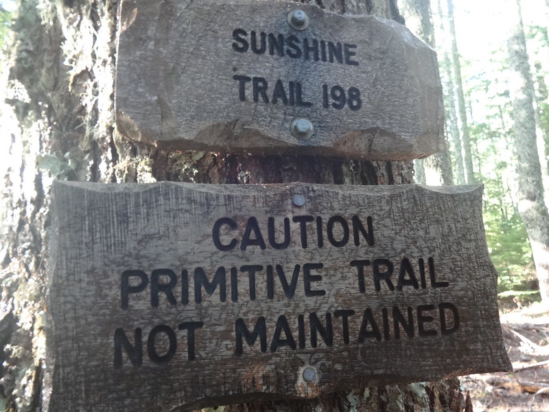
Just how primitive is the Sunshine Trail?
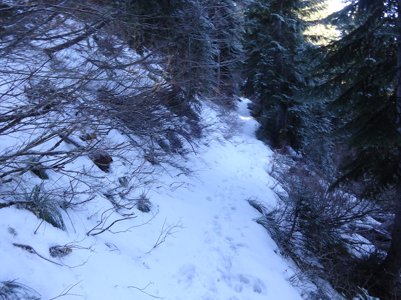
This was the most snow of all the trails, here around 3500':
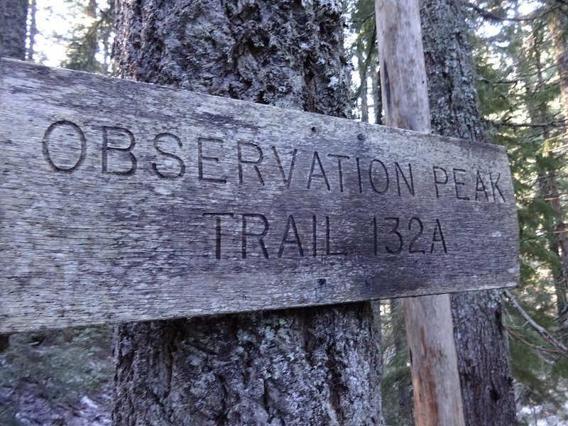
Turning off to head up to Observation Peak:
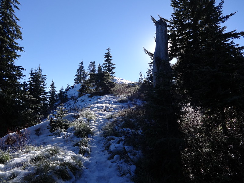
Almost to the top of Observation Peak:
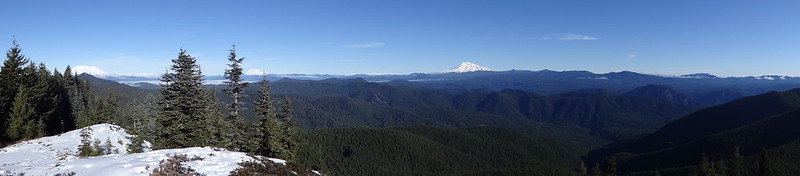
Pano from the top:
Video of Observation Peak 360:
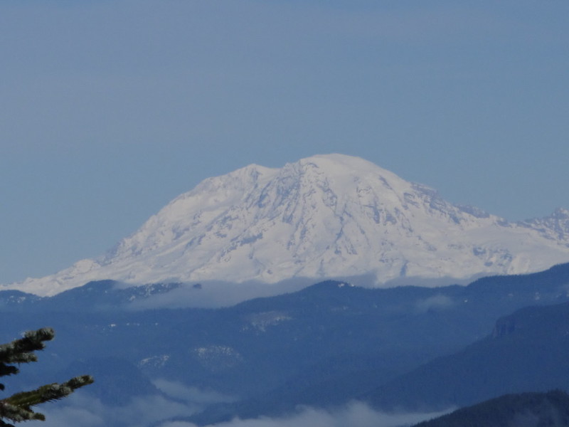
Zoom on Mt. Adams:
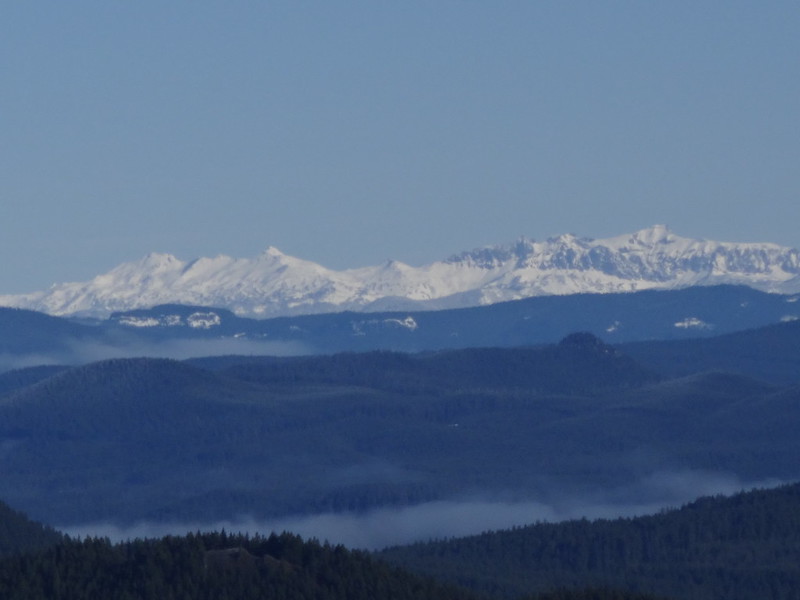
Zoom on Goat Rocks:
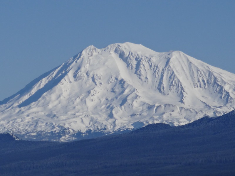
Zoom on Mt. Rainier:
Zoom on Mt. St. Helens:
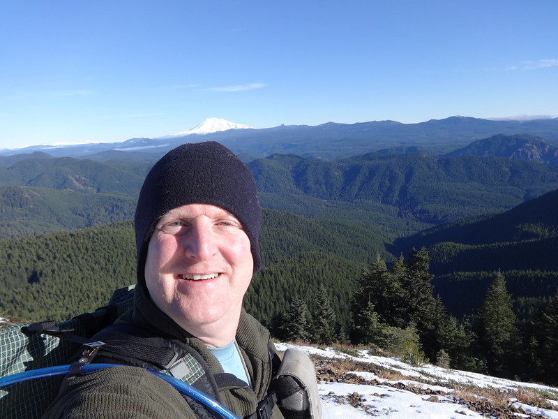
Me at the top:
Buddy at the top:
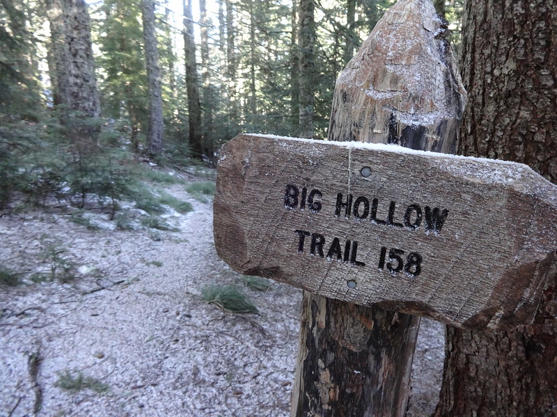
Turning off onto the Big Hollow Trail:
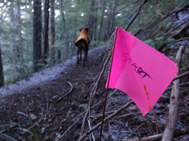
Wire flagging on the Big Hollow Trail. Anyone know what these are for?
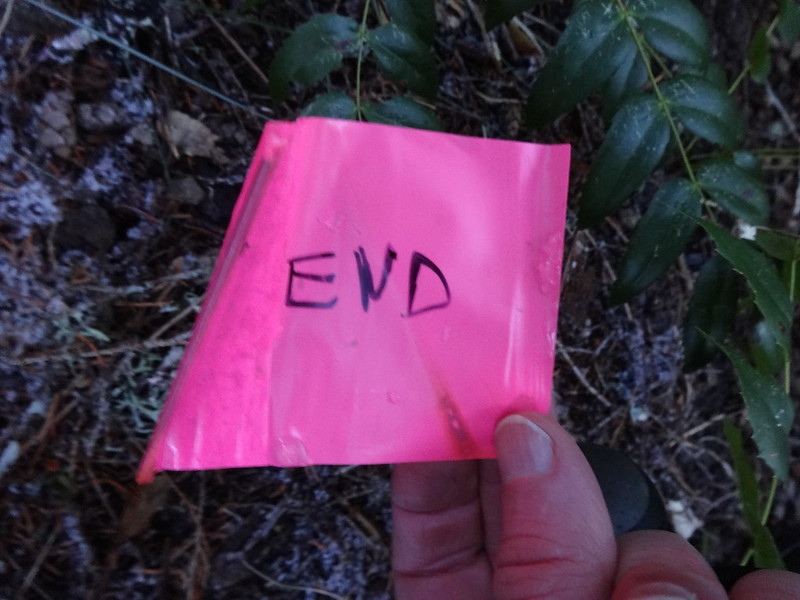
For each "start" wire flagging there was an "end". 15-20 pairs in all:
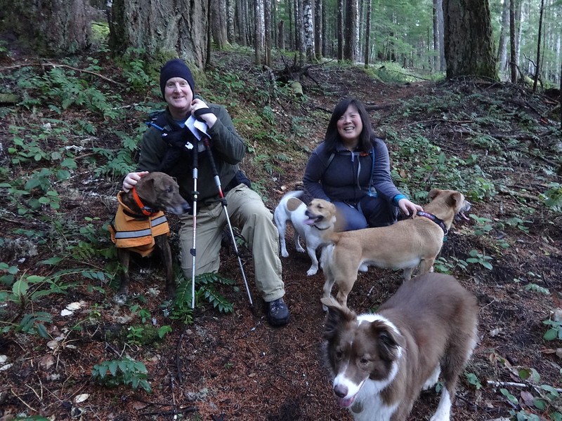
Running into Kam (PDX Flower Girl), her friend and their dogs:
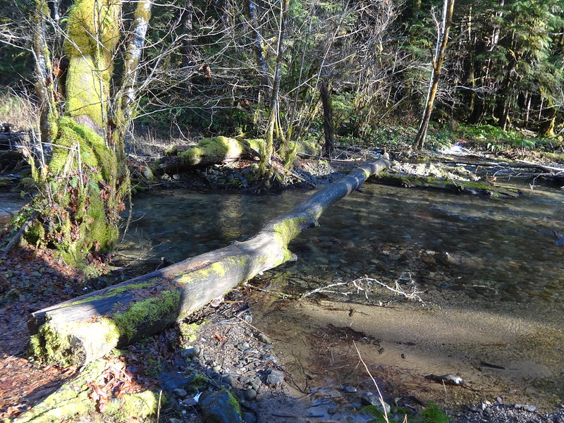
The crossing of Big Hollow Creek (I did not go that way):
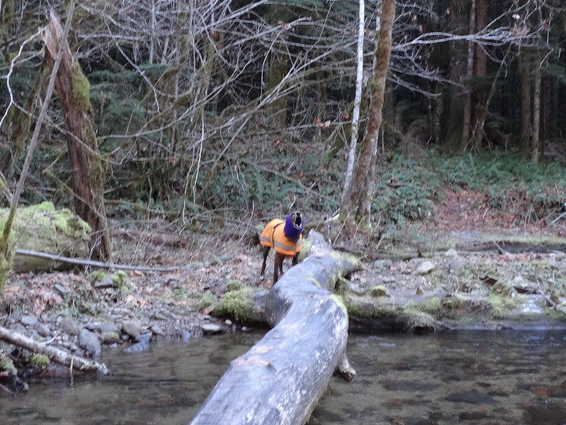
Buddy protesting crossing the log on a different trip 4 weeks ago:
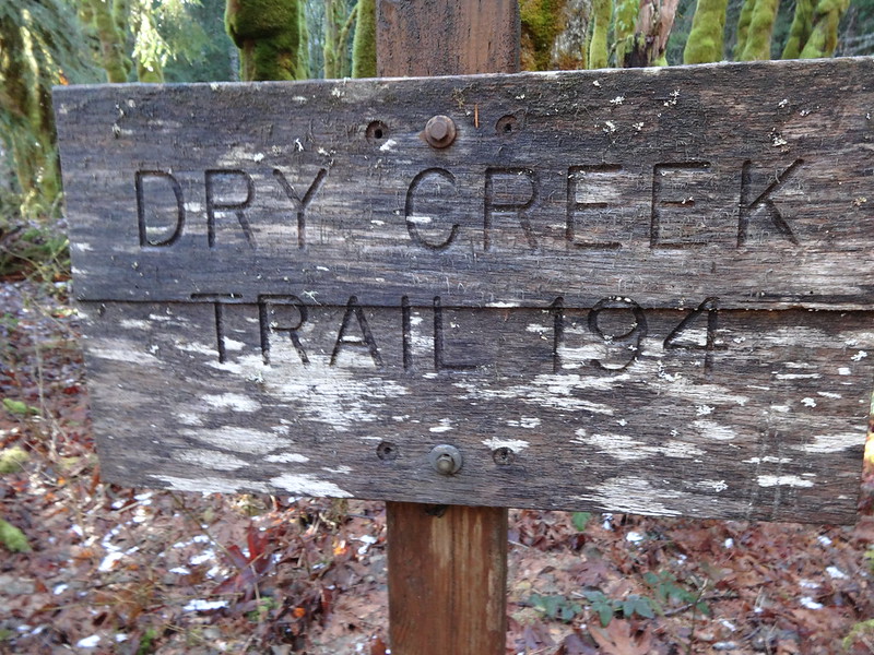
Turning off onto the Dry Creek Trail:
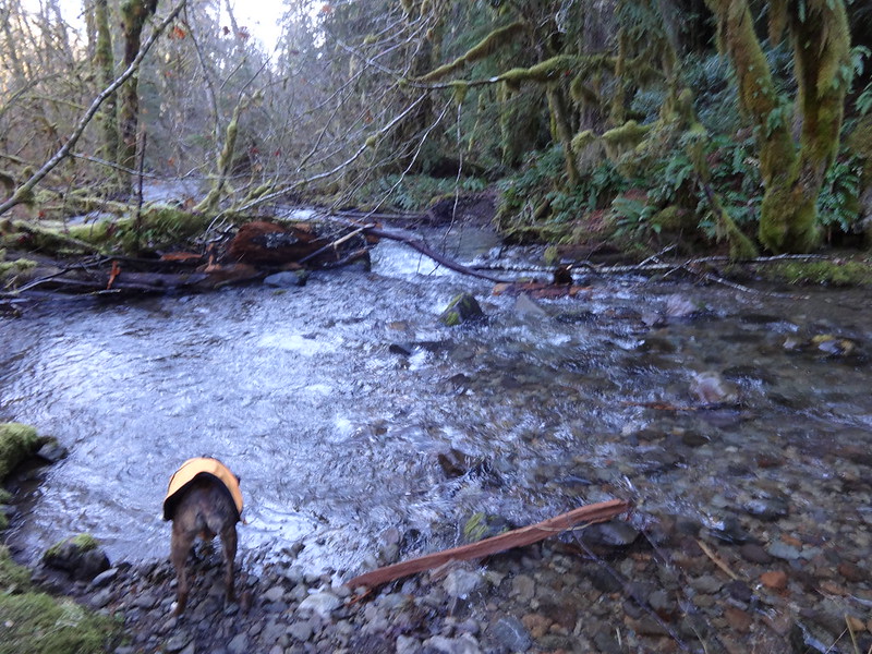
Tricky crossing of Bourbon Creek on the Dry Creek Trail:
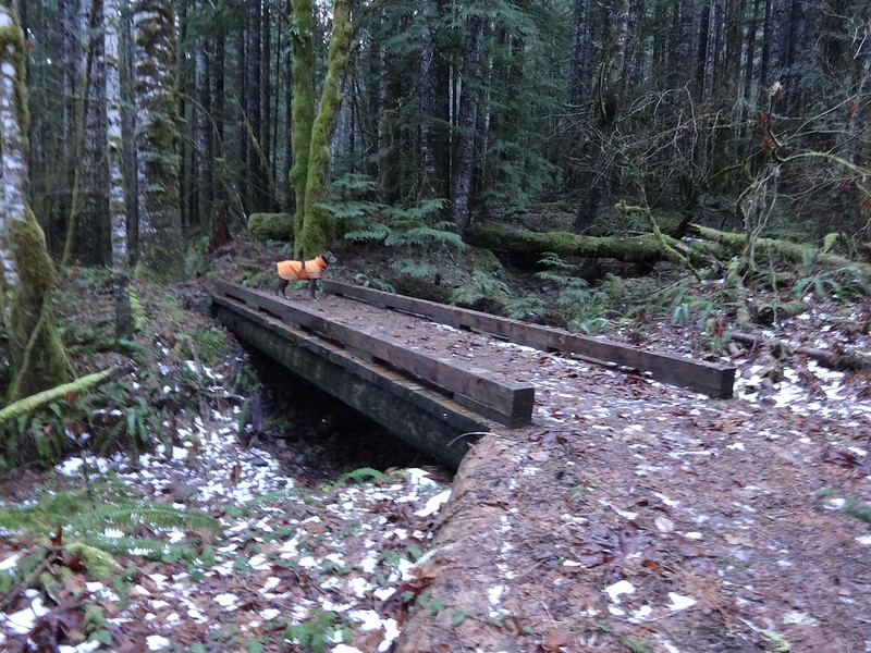
Why couldn't this bridge over a dry ditch be over on Bourbon Creek?
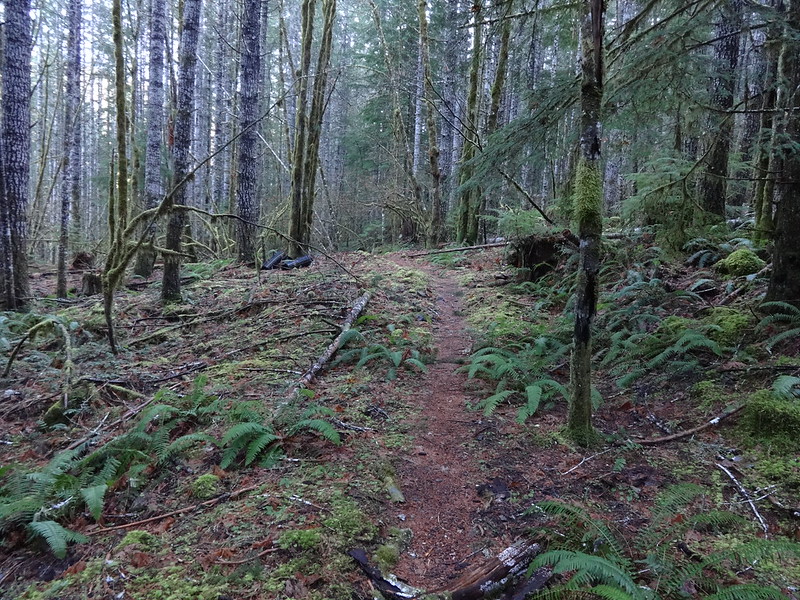
The Dry Creek Trail is very flat much of the way:
These flags led to...

... a side trail to what looked like a horse crossing of Dry Creek:
The Dry Creek Trail is always in earshot of Dry Creek, many times within visual range, and a few times right next to it:
Keep on hiking,
Brad