While I have to agree with Adam that Fall is falling in Indian Heaven (Adam's Indian Heaven), this excellent late season weather is just too good to miss. So I put together a mix of iconic trails, local trails, and old trails (a "sampler") to make a loop through the Heaven to celebrate the passing of another hiking season (soon to be followed by "Where are my snowshoes?"). It was foggy leaving Portland, but that cleared just past the Sandy, and conditions were clear, sunny, warming, and wind-free as I left the TH on trail 29 for a truly Placid Lake.
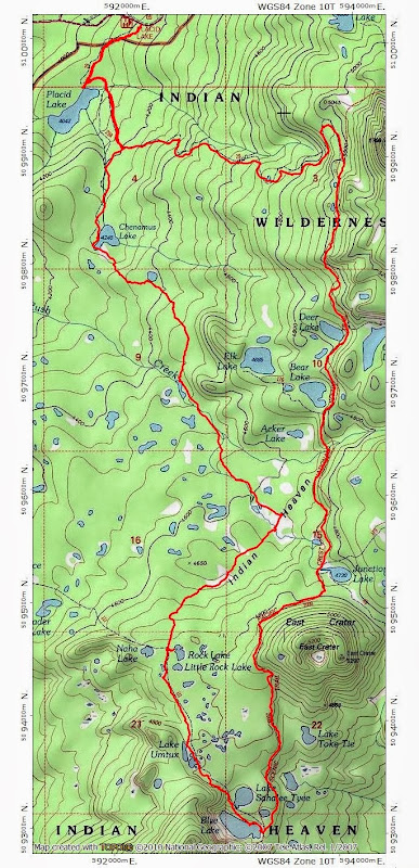
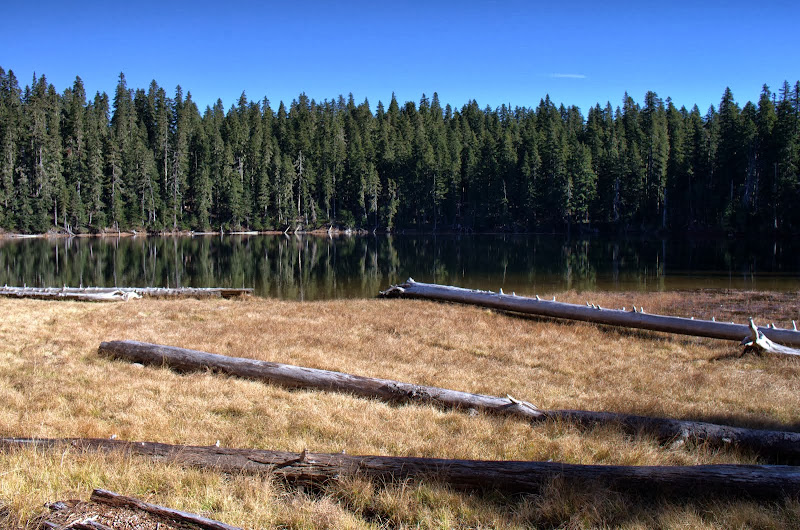
Then it was on to Chenamus Lake (also placid) on Trail 29A.
This trail becomes an old use trail that leaves the SE end of the lake and heads toward Junction Lake. This trail (sketchy in only a few spots) crosses a tributary of Rush Creek,
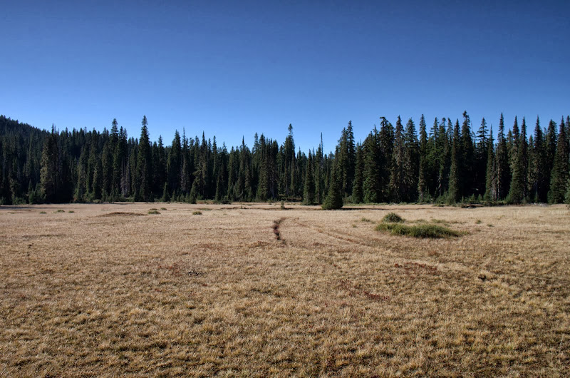
before reaching a big meadow in the shadow of East Crater, where it crosses the old Cascade Crest Trail (CCT) before continuing on to Junction Lake.
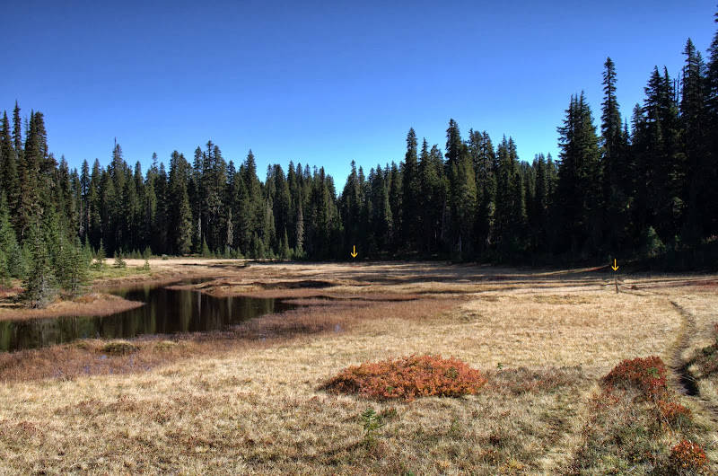
At the "29A"/CCT junction in the meadow, I turned S on the old CCT,
which is easy to follow and still marked in spots with yellow-painted but now heavily weathered posts (arrows).
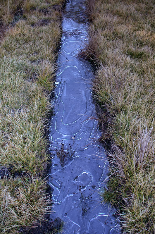
The air temp was warm but it was evident from the ice lurking in the shadows that nighttime temps were no longer tropical.
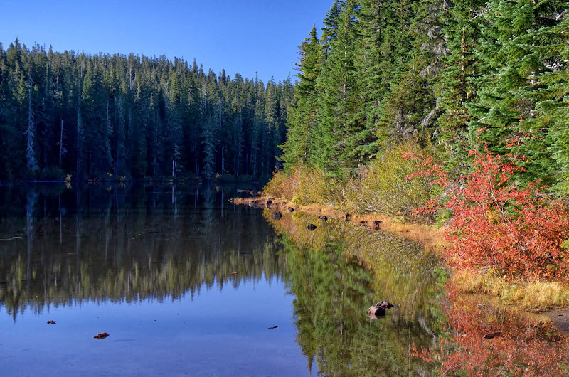
The old CCT becomes one with Trail 111 at Rock Lake.
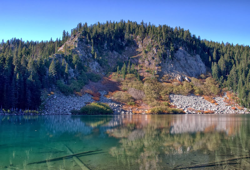
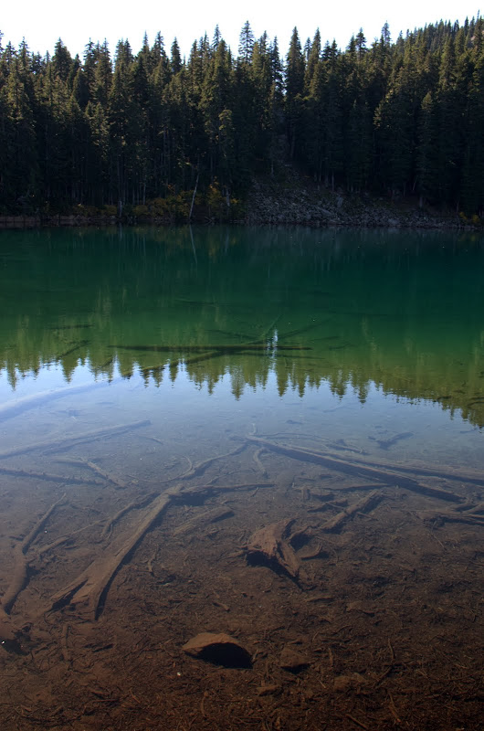
I took Trail 111 (which proved to be the muddiest and most waterlogged of all of today's trails) S past Lake Sahalee Tyee (which sits in the crater of an old volcano that erupted about 130,000 years ago),
to Blue Lake. I'd been here the week before under leaden skies looking at an equally leaden lake, but today, with full sunshine, the lake really lived-up to its "blue" designation.
After lunch at Blue Lake, it was N on the PCT (trail 2000), past Junction Lake,
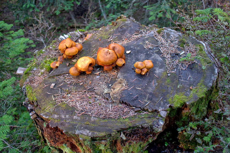
past a final offering of seasonal mushrooms,
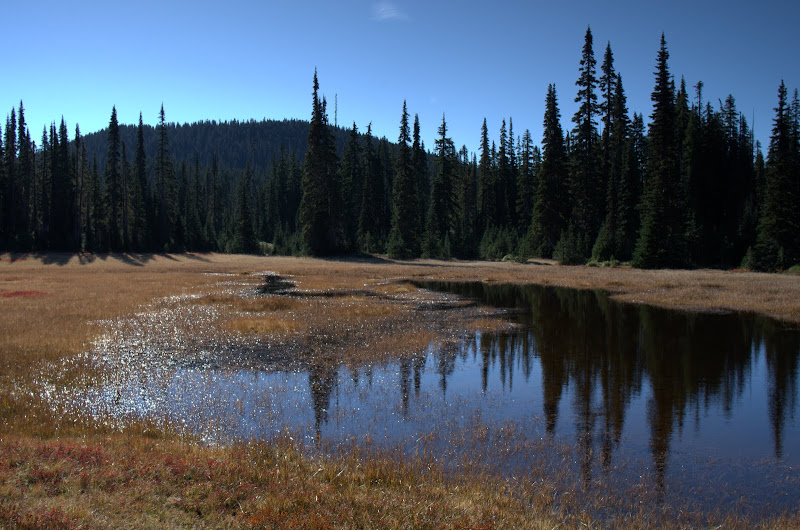
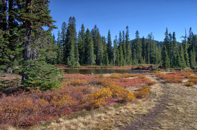
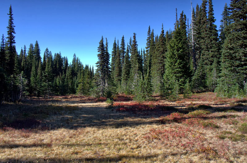
to a junction with the Placid Lake Trail (29). I took this down through smaller meadows with fading Fall colors,
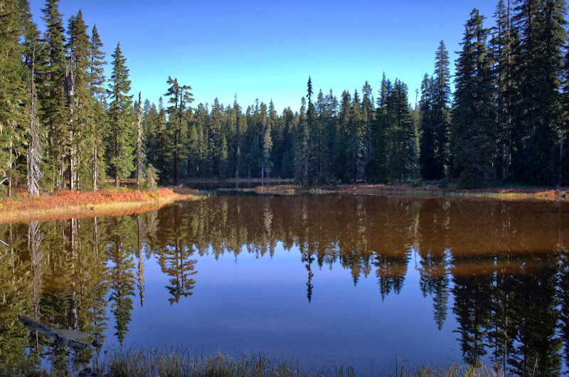
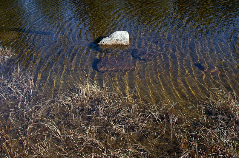
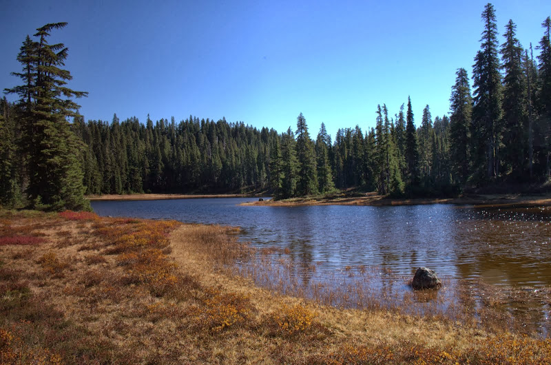
past a small unnamed lake,
and back past Placid Lake to the TH. I saw perhaps a dozen people all day - from trail runners to gun-toting backpackers - and there was just one other car at the TH upon my return. This proved to be a great loop for experiencing the different kinds of trails this wilderness has to offer and for visiting many of its scenic lakes - there are also a few XC options that allow you to shorten the loop. In all, a great way to end the Fall season! 14 mi loop, 1,200' EG.
Indian Heaven - End of Fall Trail Sampler 20-Oct-2013
Re: Indian Heaven - End of Fall Trail Sampler 20-Oct-2013
I did the Chenamus-Junction Lake trail a year or two ago and labeled it on my ph.org trip report as the CCT - don't remember anybody correcting me. But I do remember crossing a well-worn trail in that large meadow. So that's the actual CCT.
It amazes me that despite the exceedingly wet nature of the area, that so many old and abandoned trails are in such good condition. It's one thing that they are not overgrown given that a lot of people still use them, but barely a tree is down across them either. I would expect meadows and trees to retake abandoned trials quickly here. In other places, even with occasional maintenance, trails can be hard to follow.
- adamschneider
- Posts: 3717
- Joined: May 28th, 2008, 10:02 pm
- Location: SE Portland
- Contact:
Re: Indian Heaven - End of Fall Trail Sampler 20-Oct-2013
Here's a question: why does it stay so wet up there? My friend suggested that maybe there's solid rock or hardpan not too far underground. That might fit with the fact that the whole area is full of shield volcanoes; are there huge swaths of impervious basalt just under the surface?
Re: Indian Heaven - End of Fall Trail Sampler 20-Oct-2013
The 29A "extension" beyond Chenamus Lk appears on some older maps but doesn't seem to have a name of its own. This W-E trail is different than the CCT. Some older (early '70s) hiking guides, as does Will's CCT guide from the early '60s, show the CCT running N-S thru this big meadow. I think the yellow painted posts are a give-away. The CCT became the PCT and was then moved E (upslope out of the meadows) in the late '70s. Extra confusing, some maps show a another trail running N-S between the old CCT in the meadow and the "new" PCT where it is now up the slope. I haven't found much of this one yet.drm wrote:I did the Chenamus-Junction Lake trail a year or two ago and labeled it on my ph.org trip report as the CCT - don't remember anybody correcting me. But I do remember crossing a well-worn trail in that large meadow. So that's the actual CCT.
It amazes me that despite the exceedingly wet nature of the area, that so many old and abandoned trails are in such good condition. It's one thing that they are not overgrown given that a lot of people still use them, but barely a tree is down across them either. I would expect meadows and trees to retake abandoned trials quickly here. In other places, even with occasional maintenance, trails can be hard to follow.
Re: Indian Heaven - End of Fall Trail Sampler 20-Oct-2013
I think it's been blamed on being a relatively flat area with minimal drainage and lots of depressions to hold the water, which is also why it has so many lakes (and most meadows are just lakes filled with debris). Our volcanic mountains tend to have steep slopes and canyons for fast drainage. I tend to think of basalt as being full of cracks and not making a good seal, but maybe it does in some cases. Also, maybe the flag ground has encouraged the growth of poor-drainage bogs over the eons.adamschneider wrote:Here's a question: why does it stay so wet up there? My friend suggested that maybe there's solid rock or hardpan not too far underground. That might fit with the fact that the whole area is full of shield volcanoes; are there huge swaths of impervious basalt just under the surface?