Barlow 'n Frog Lake Buttes, Twin Lakes, Palmateer - 07-29-13

This forum is used to share your experiences out on the trails.
Post Reply
pablo
Posts: 1451
Joined: May 28th, 2008, 10:03 pm

Barlow 'n Frog Lake Buttes, Twin Lakes, Palmateer - 07-29-13

Post by pablo » July 30th, 2013, 5:51 pm

I'd been eying something around Barlow Butte for a while when last week justpeachy published an excellent report on Barlow Butte. Since I'd never been in this area I thought I'd do a sampler of what was there starting at Barlow Butte. The plan was to go up Barlow Butte, continue on south for what I hoped would be trail down to intersect Barlow Rd and head up Bonney Meadows trail to Catalpa Lake Trail. From Catalpa Lake I'd bushwhack up to Frog Lake Buttes to descend on the Twin Lakes trail to return to the Barlow Pass trailhead. Worked out that way with the subtraction of Catalpa Lake and the addition of Palmateer viewpoint.

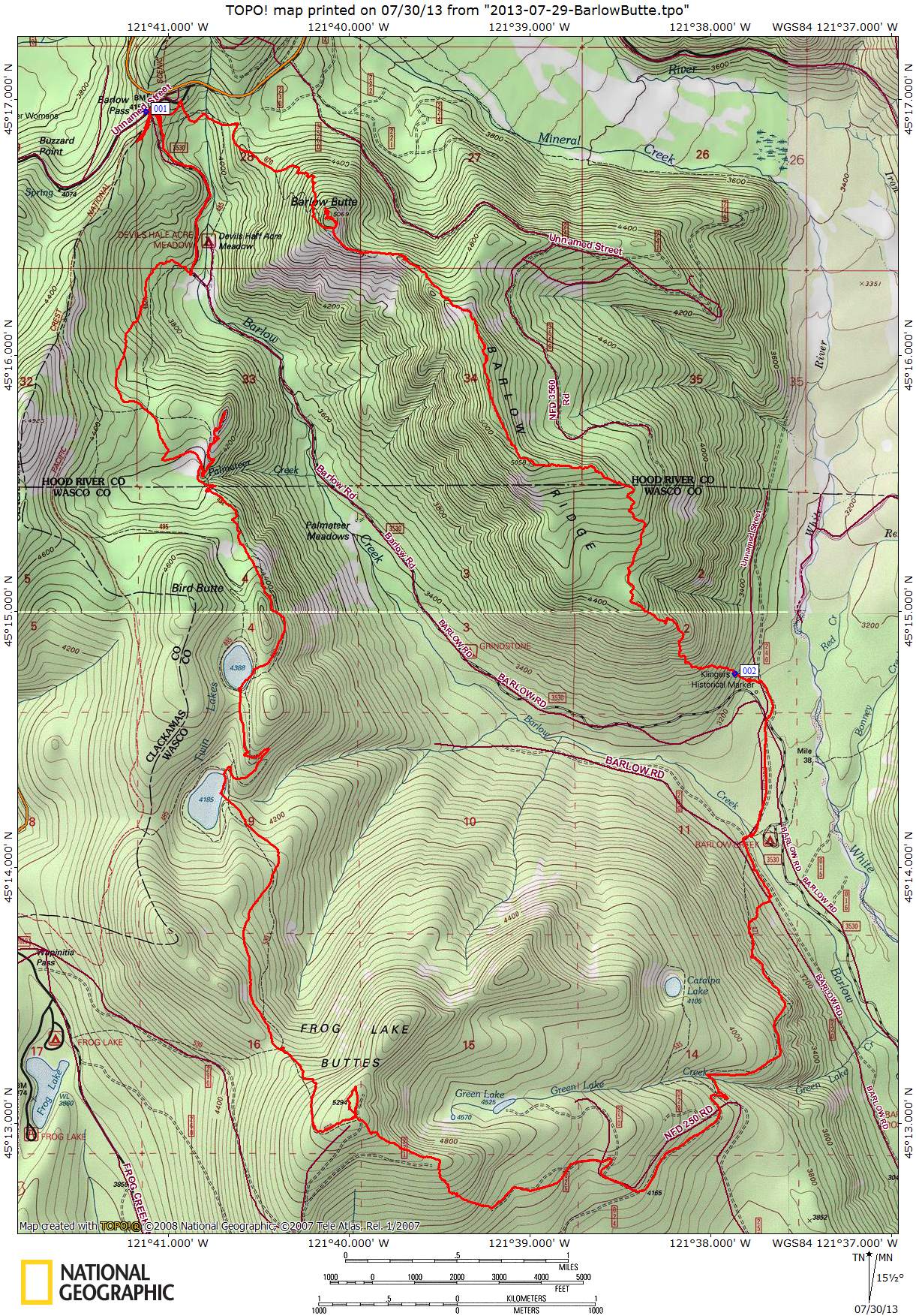
I'm going to start where justpeachy left off, at the plaque memorializing Dr. Richard Carlyle Lambert as mentioned in justpeachy's TR. You can see the plaque in the lower right at the base of the rock outcrop.

Image

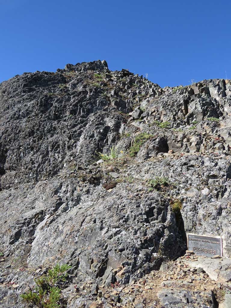
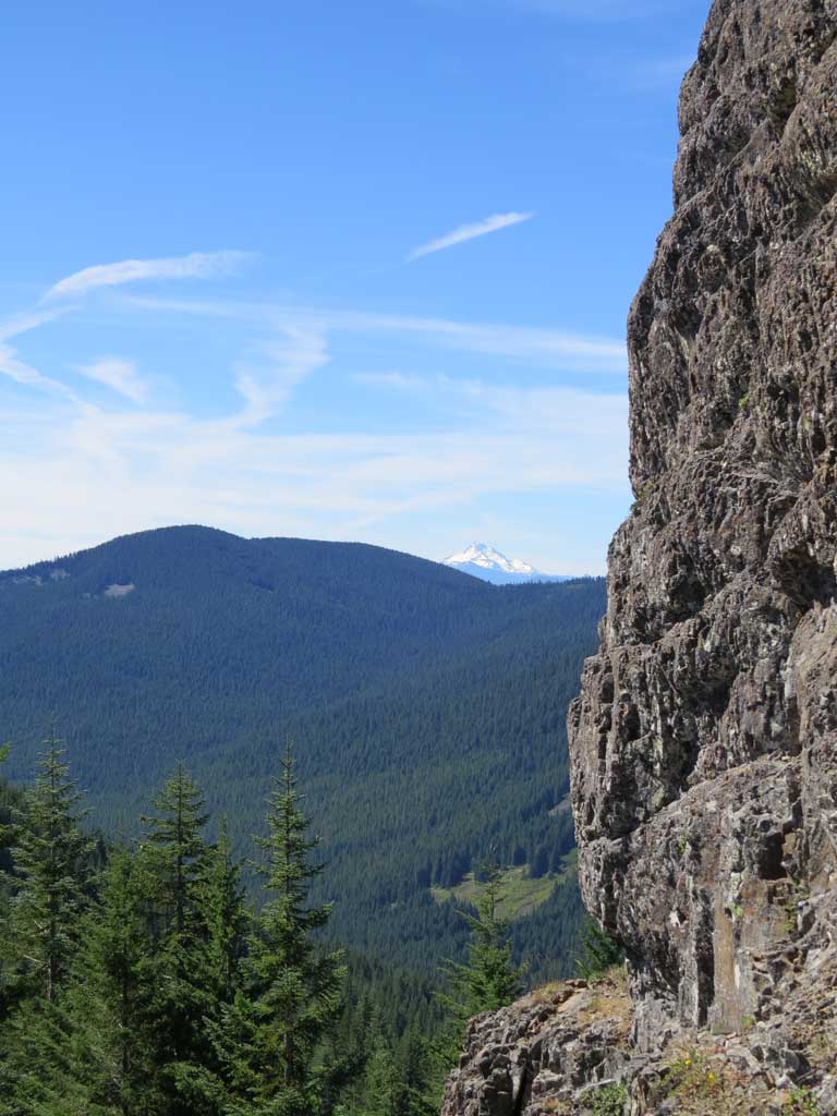
I did the class 3 (?) scramble to the top to get the big views - nice place for a memorial. A fall from up there and you'd be joining Dr. Lambert. To the south is Jefferson flanked by Frog Lake Buttes on the left, Bird Butte on the right and the little bald spot to the far right is Palmeteer viewpoint (did not know that at the time).

Image

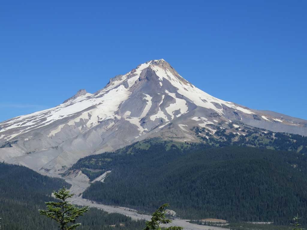
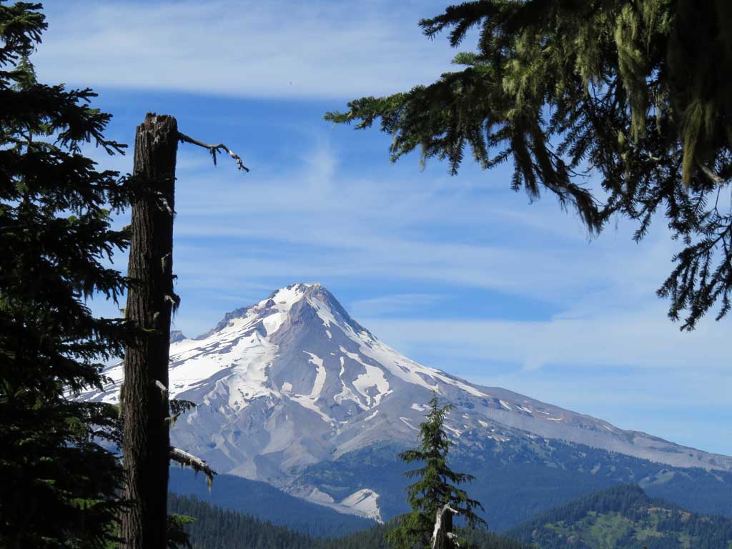
The view is great towards Hood.

Image

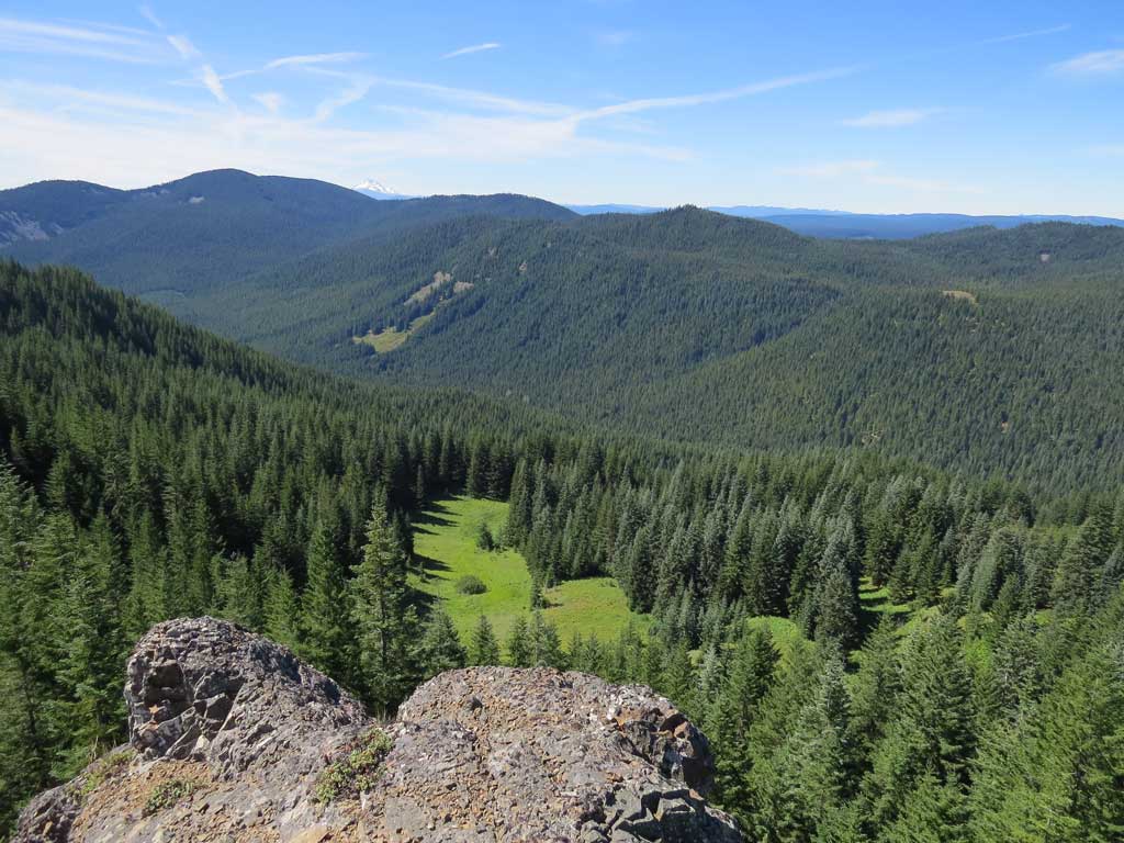
Pretty vertical to the south.

Image

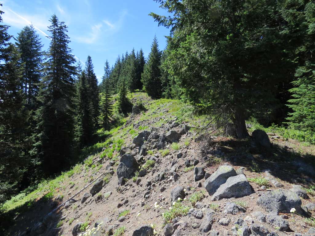
From the memorial rock outcrop I continued south on fairly good and well blazed trail. The ridge is open in spots for good looks back at Hood and to the east.

Image

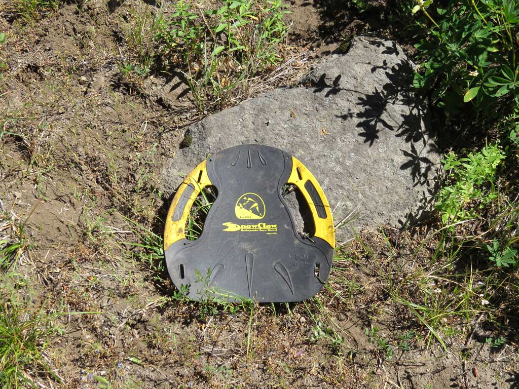
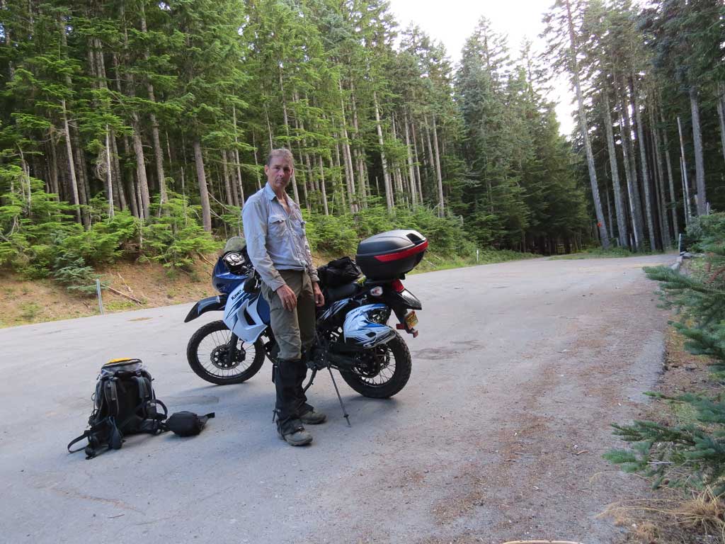
Hey dude, found your snow shovel, looks useful, I'm keeping it.

Image

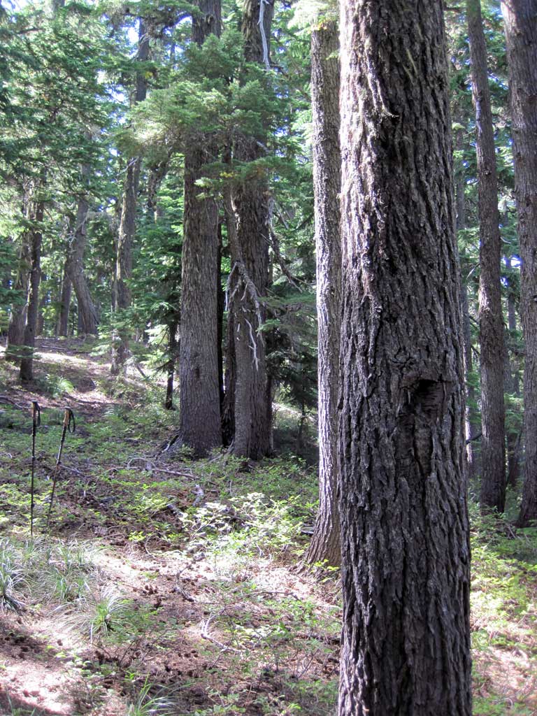
The further south I went the worse the trail became - obviously little used at this point and abandoned by the FS - even though on the FS info sheet the entire route is shown. Well blazed like this spot.

Image

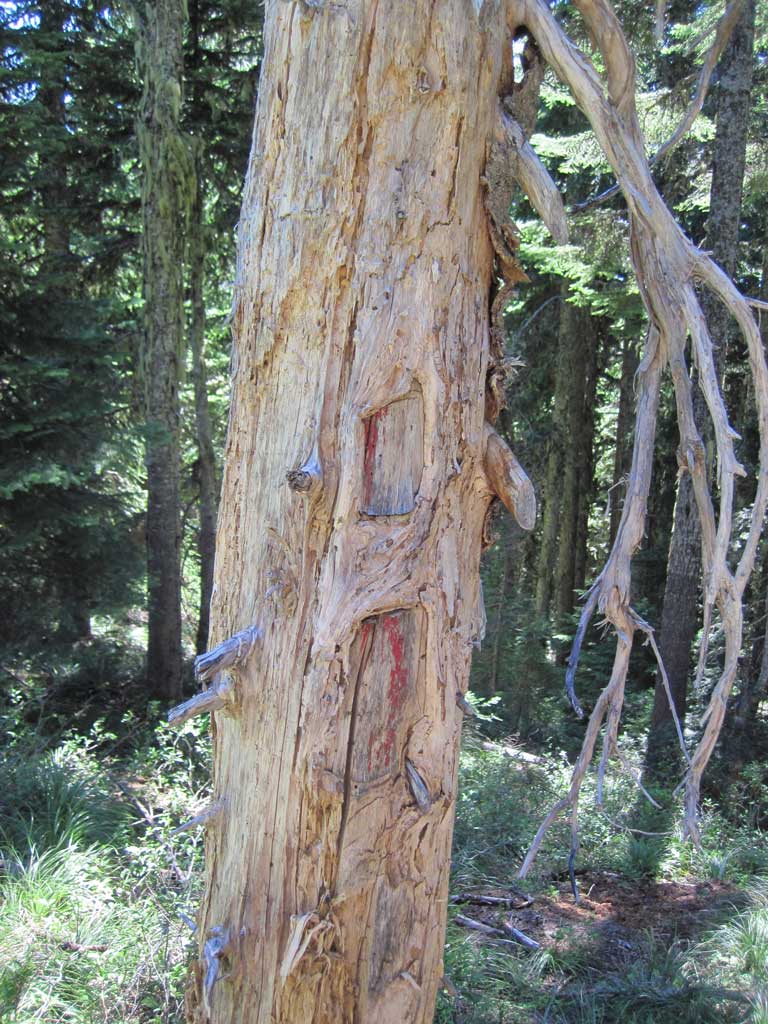
The blaze kept me on the route although there is not much difference between trail and off-trail - 3 kinds of blaze, ax, paint, and some diamond shaped plastic markers nailed to trees.

Image

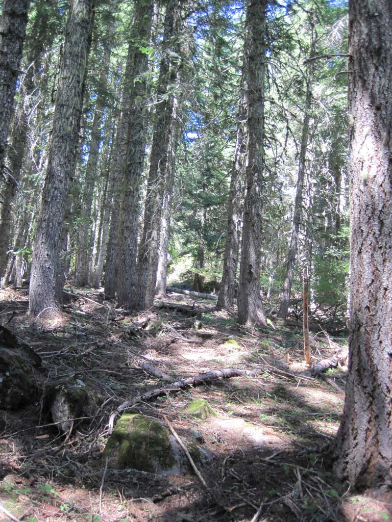
As I dropped off to descend to Barlow Rd I ran into this nicely developed piece of trail - shame to let this go to waste.

Image

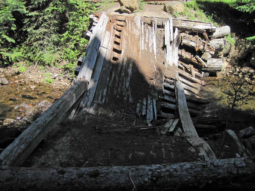
Eventually I gave up trying to find blaze to keep on the route - taking too much time so I just went cross country to depart Barlow Butte to land on the Barlow Rd. I went south and came across the broken bridge, great for hikers:

Image

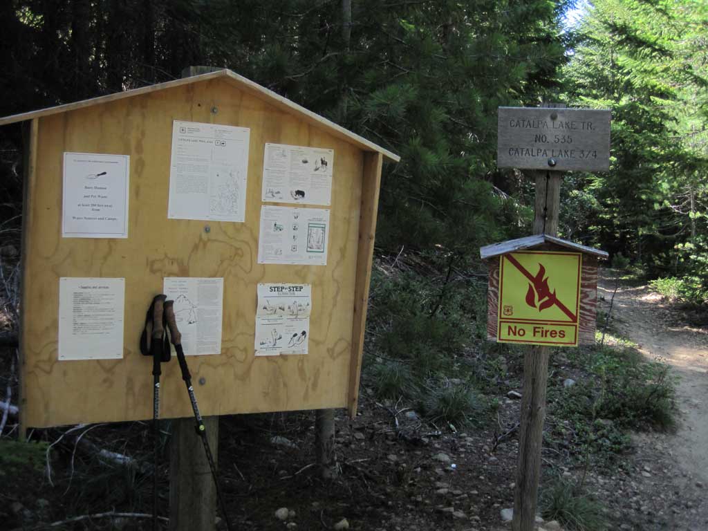
I crossed the bridge and went looking for the Bonney Meadows Trail, unfortunately I chose the wrong direction on Barlow Rd and wound up having to bushwhacking uphill to catch the trail. Pro Tip: From the bridge go north, not south. I reached the trail head for Catalpa Lake but I was running late from looking around for trail on Barlow Butte so took a pass. Instead I would head up the road towards Green Lake, hop off and bushwhack my way up to Frog Lake Buttes and continue on from there. Catalpa Lake TH:

Image

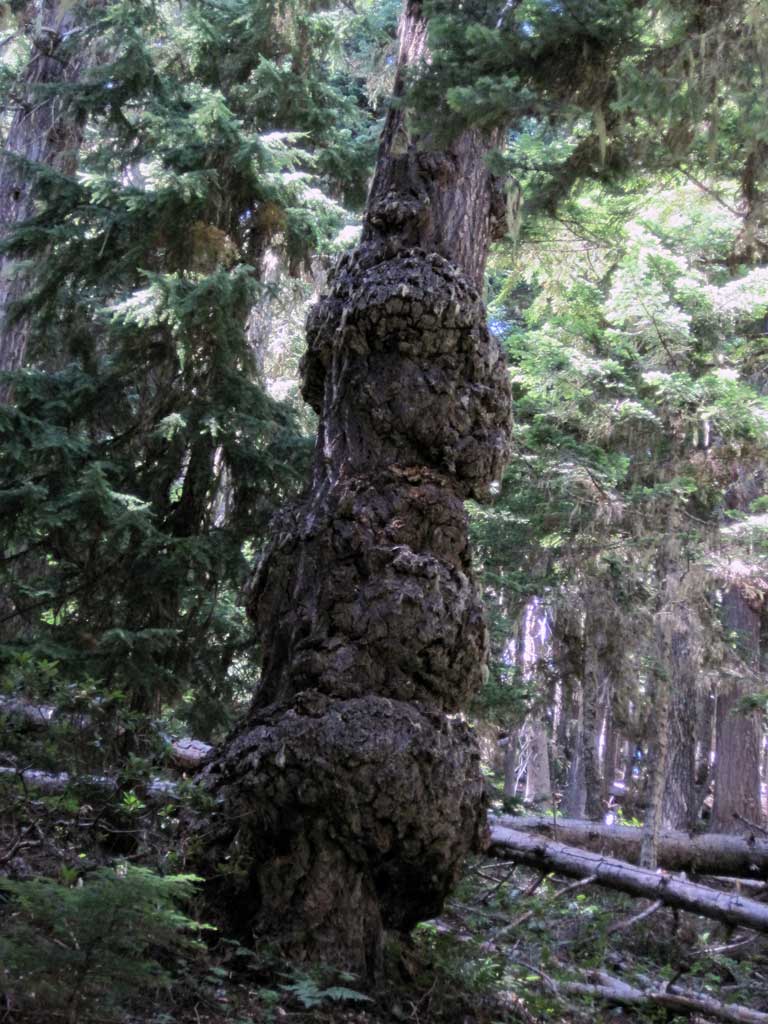
A gnarly tree on the bushwhack to the top of Frog Lake Buttes:

Image

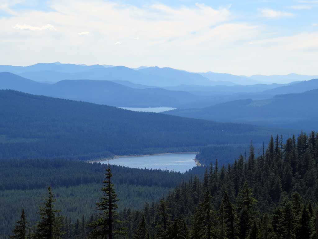
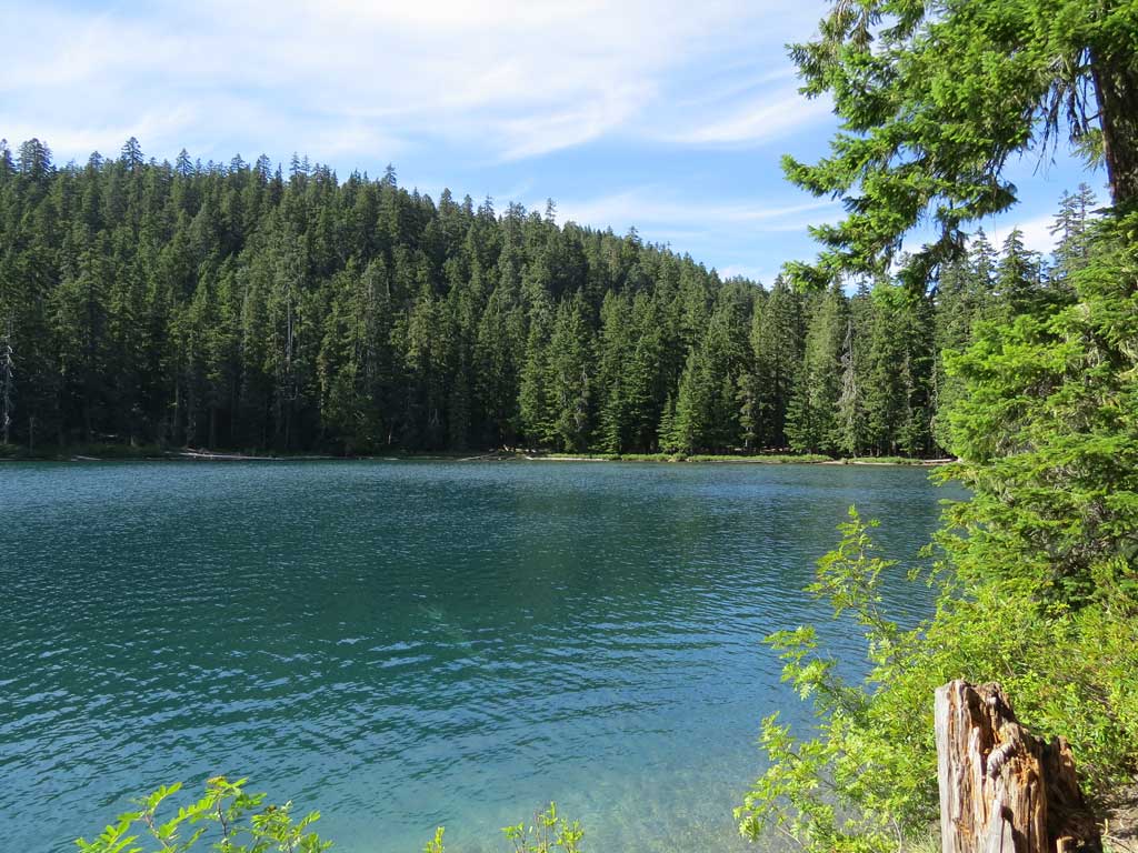
Just below the top I found myself in a clearcut with great views to the south and east. Here's Clear Lake and Timothy Lake.

Image

On I trudged in the heat when I ran into some blaze and a clear trail!??! What gives?

Image

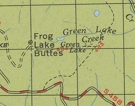
Turns out there was trail here back in the day - here's a snippet from the '63 map - the #484 trail:

Image

I reached the top - there's a microwave relay up there. A couple of guys had driven to the top and they pointed me towards the viewpoint, not much, the clearcuts on the way up offer better views. At the north end of the southern butte:

Image

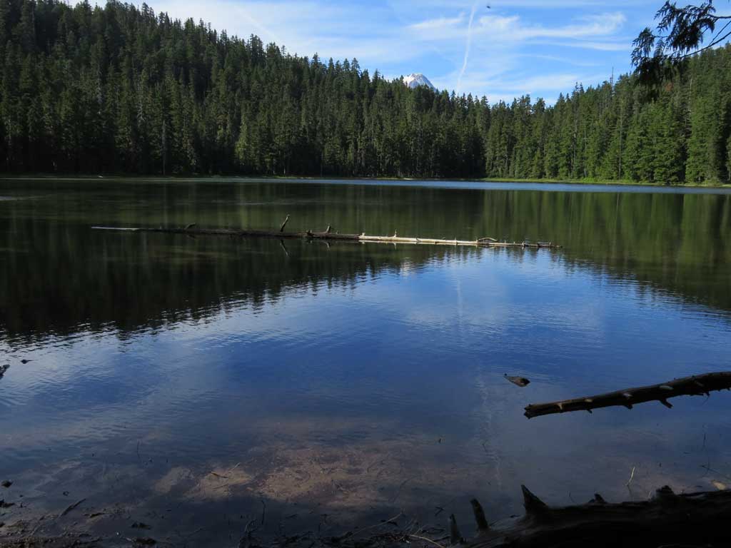
The Frog Lake Buttes trail up from Frog Lake was easy tp find, just around the corner from the relay site - started out as road and eventually became a signed trail. Went rapidly down through the forest to get to the trail to lower Twin Lakes:

Image

The trail at this point, and pretty much the rest of the way back to Barlow Pass, was paved with horse poo. Here's upper Twin Lakes - horse poo right up to the water's edge:

Image

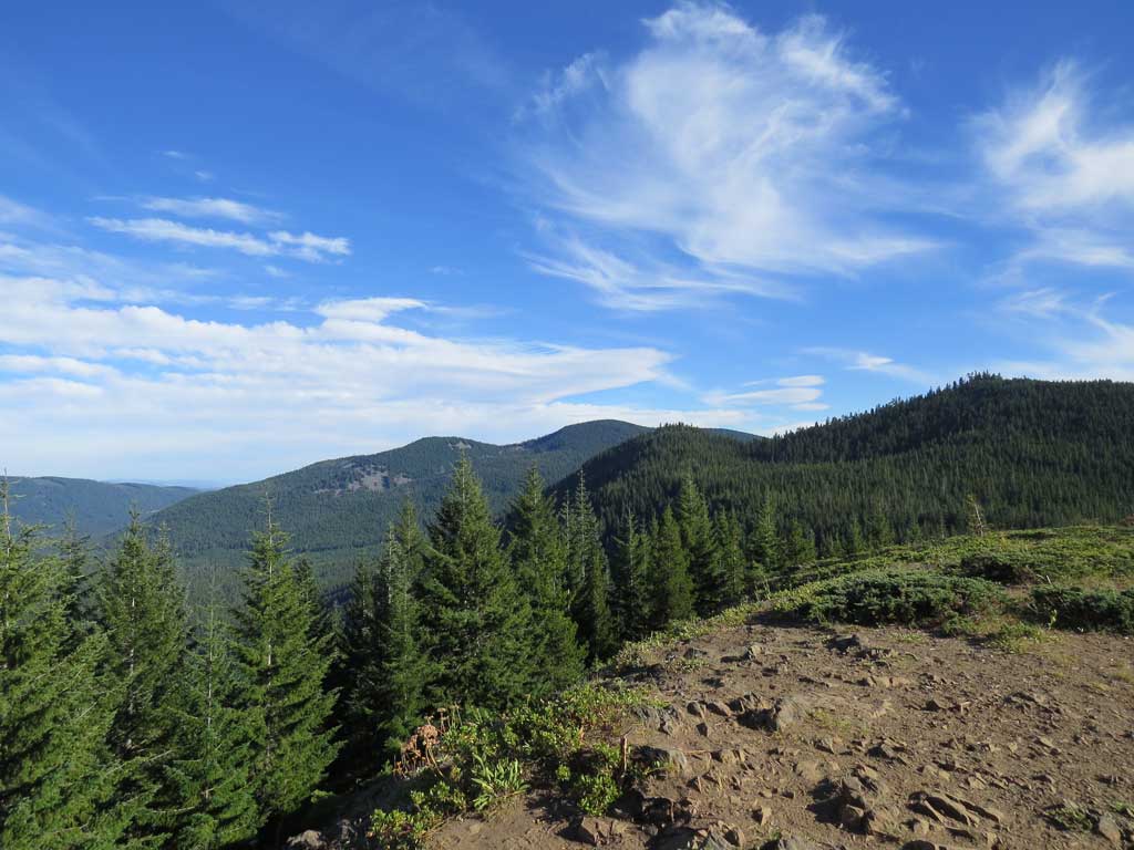
I was entering the home stretch when I made a fortuitous wrong turn to Palmateer viewpoint. I thought I was headed back to the Pass but instead there is the nice open area with big views - looking back on Frog Lake Buttes on the far horizon and Bird Butte nearby:

Image

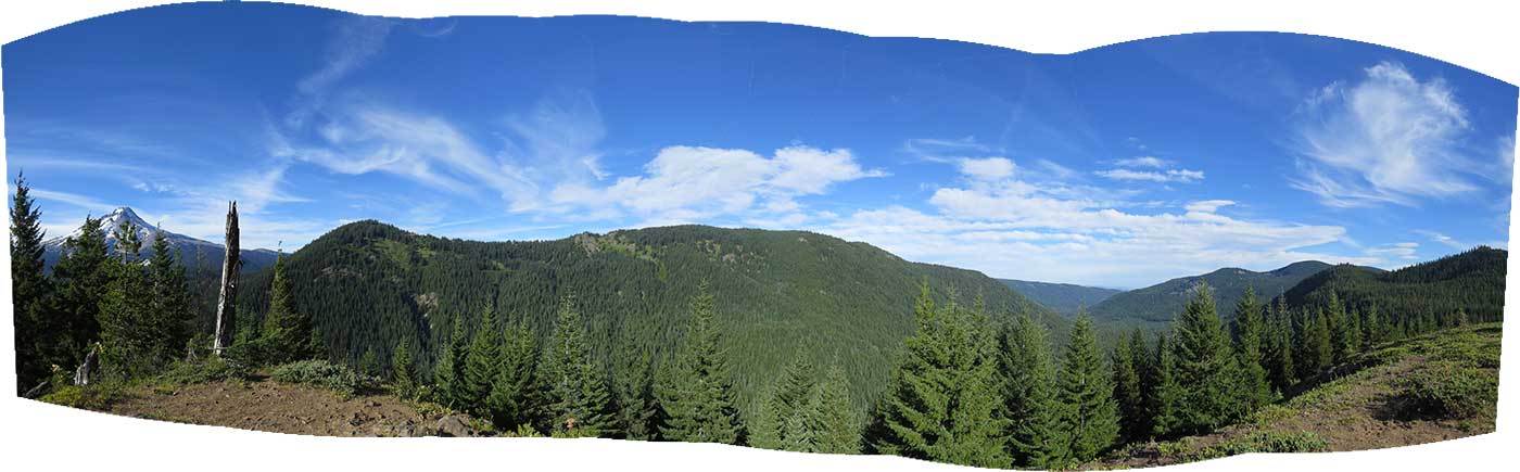
Here's a panorama - nice to see the entire length I'd traveled on Barlow Butte:

Image

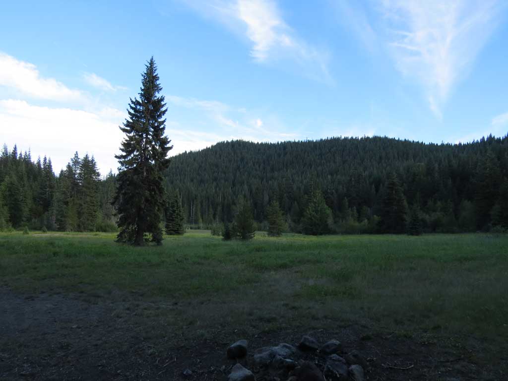
There was something about Devil's Half-acre, is this it?

Image

I took the Palmateer Trail down to Barlow Road and headed up toward the pass (rule #1 broken, never end a hike going uphill) - I now have some appreciation for the pioneers who had made the same trip as I was pretty beat up. I was at least as happy as they were to make the Pass.

Image

Traveled ~19.7 miles with ~5200' elevation gain in ~10 hours. Good day, saw lots of stuff. The trails (Twin Lakes, Palmateer) with all the horse poo I will make every effort to never do again.

Image
The future's uncertain and the end is always near.

User avatar
bobcat
Posts: 2768
Joined: August 1st, 2011, 7:51 am
Location: SW Portland

Re: Barlow 'n Frog Lake Buttes, Twin Lakes, Palmateer - 07-2

Post by bobcat » July 30th, 2013, 7:15 pm

Great loop, pablo, although I'm surprised to see you spending so much time on well-worn paths. I've had the Barlow Ridge down to Klinger's Camp on my list for ages since the "trail", such as it is, appears on all the maps, but you beat me to it! Kudos also on finding the old trail between the Green Lake Road and Frog Lake Butte. There's a winter ski route, too - I'm not sure if it's the same alignment; you probably would have seen blue diamonds if it had been.

Yes, you must have passed through Devil's Half-acre, the last lush watering spot on the Oregon Trail before the grueling up and over on the Barlow Road.

I am in need of your Catalpa Lake Trailhead picture for the Field Guide; if you give me permission, I will take it!

User avatar
Splintercat
Posts: 8333
Joined: May 28th, 2008, 10:03 pm
Location: Portland
Contact:

Re: Barlow 'n Frog Lake Buttes, Twin Lakes, Palmateer - 07-2

Post by Splintercat » July 30th, 2013, 7:32 pm

Nice report, Paul! Disappointing to see the condition of the south end of the Barlow Butte trail, but at least the blazes (and a few trail traces) are there. Barlow Butte is now an appendage to the Mount Hood Wilderness, so restoring that trail will be a manual task. But at least the fading section is approachable from Klingers Camp.

Great find on the old trail approach to Frog Lake Buttes! I've poked around that area bit with an eye toward some new trails possibilities, and the Green Lakes/creek basin and northern summits (and views from their talus slopes) look pretty interesting as a way to make Frog Lake Butte and Catalpa Lake more than just dead-end trails. Nice to have some recon on the area!

Thanks for posting!

Tom :)

pablo
Posts: 1451
Joined: May 28th, 2008, 10:03 pm

Re: Barlow 'n Frog Lake Buttes, Twin Lakes, Palmateer - 07-2

Post by pablo » July 30th, 2013, 8:35 pm

bobcat wrote:Great loop, pablo, although I'm surprised to see you spending so much time on well-worn paths. I've had the Barlow Ridge down to Klinger's Camp on my list for ages since the "trail", such as it is, appears on all the maps, but you beat me to it! Kudos also on finding the old trail between the Green Lake Road and Frog Lake Butte. There's a winter ski route, too - I'm not sure if it's the same alignment; you probably would have seen blue diamonds if it had been.

Yes, you must have passed through Devil's Half-acre, the last lush watering spot on the Oregon Trail before the grueling up and over on the Barlow Road.
Ha! I did a hike on Saturday that left me wanting to hike on a "real" trail. Still plenty of trail to find on Barlow Butte - I think the way to do B. Butte is reverse from what I did. Say march down Barlow Road and return on B. Butte - if I only knew where the TH off Barlow Road is.
I am in need of your Catalpa Lake Trailhead picture for the Field Guide; if you give me permission, I will take it!
Help yourself, happy to help. Wish I'd gone there, maybe next time.

Thx,

--Paul
The future's uncertain and the end is always near.

pablo
Posts: 1451
Joined: May 28th, 2008, 10:03 pm

Re: Barlow 'n Frog Lake Buttes, Twin Lakes, Palmateer - 07-2

Post by pablo » July 30th, 2013, 8:40 pm

Splintercat wrote:Nice report, Paul! Disappointing to see the condition of the south end of the Barlow Butte trail, but at least the blazes (and a few trail traces) are there. Barlow Butte is now an appendage to the Mount Hood Wilderness, so restoring that trail will be a manual task. But at least the fading section is approachable from Klingers Camp.

Great find on the old trail approach to Frog Lake Buttes! I've poked around that area bit with an eye toward some new trails possibilities, and the Green Lakes/creek basin and northern summits (and views from their talus slopes) look pretty interesting as a way to make Frog Lake Butte and Catalpa Lake more than just dead-end trails. Nice to have some recon on the area!

Thanks for posting!

Tom :)
Hey Tom,

The Barlow Butte trail is well blazed in the hard to find sections and the entire route is pretty much brush free - some blow down so I think recovery is possible without a lot of saw work. I'm disappointed I did not do the bushwhack up from Catalpa Lake - in GE looks like there are several potential viewpoints. Gives me a reason to go back out there.

Connecting Frog Lake Buttes trail with Green Lake or Catalpa Lake seems like a logical thing to do.

Thx,

--Paul
The future's uncertain and the end is always near.

justpeachy
Posts: 3067
Joined: May 28th, 2008, 10:03 pm
Location: Portland, OR
Contact:

Re: Barlow 'n Frog Lake Buttes, Twin Lakes, Palmateer - 07-2

Post by justpeachy » July 30th, 2013, 8:46 pm

Great report! I was curious about the condition of the trail along Barlow Ridge, but not curious enough to explore it myself. Nice to get a report on what it's like. The interesting thing is that current topo maps don't show that trail on Barlow Ridge, even though the 2012 Trails Illustrated map of the Mt. Hood Wilderness shows it. Also curious is that the Trails Illustrated map shows the trail as being really pretty straight, even on the steep descent to Klinger's Camp. Perhaps you had already ditched the trail by that point, but I'm wondering if it really is that straight or if there are switchbacks that the map doesn't show.

pablo
Posts: 1451
Joined: May 28th, 2008, 10:03 pm

Re: Barlow 'n Frog Lake Buttes, Twin Lakes, Palmateer - 07-2

Post by pablo » July 31st, 2013, 8:57 pm

justpeachy wrote:[...]The interesting thing is that current topo maps don't show that trail on Barlow Ridge, even though the 2012 Trails Illustrated map of the Mt. Hood Wilderness shows it. Also curious is that the Trails Illustrated map shows the trail as being really pretty straight, even on the steep descent to Klinger's Camp. Perhaps you had already ditched the trail by that point, but I'm wondering if it really is that straight or if there are switchbacks that the map doesn't show.
Looking at the MHNF info sheet for the Barlow Butte, the FS trail matches my GPS track for the northern part of the trail so maybe they are close for the southern part of the trail where they go pretty much straight down the ridge - there are wiggles like switchbacks. The last 1/4 mile I was undoubtedly way off. BTW, MHNF info sheets have been updated to use the new USGS base layers. Seems like the hiking pages on the MHNF web site have improved since I last looked - the info sheets are pretty useful in this area.

Here's the page link for Barlow Butte:

http://www.fs.usda.gov/recarea/mthood/r ... 2&actid=64

Here's the info sheet link

http://www.fs.usda.gov/Internet/FSE_DOC ... 400513.pdf
The future's uncertain and the end is always near.

Post Reply