This trailhead is extremely convenient, considering it's literally on OR 22 a few miles west of the "town" of Detroit. We got there around 1:15 PM, with only three other cars in the parking lot/wide part of the road. This trail was amazing - aside from Jefferson Park and the Obsidian Area in Three Sisters Wildenerss, probably my most rewarding hike I've taken in Oregon in the 8 months I've lived here. It's a 10.6 mile round trip schlep up to Dome Rock, with about a ~3200 ft. vertical rise. The first 3.5 miles or so are nonstop uphill, but pretty well graded. The slope decreases after passing an old forest road upon reaching the ridgeline about 4 miles in. The final 0.5 miles to Dome Rock itself are pretty steep, but at that point you're working off adrenaline so it shouldn't bother you. The combination of views, workout, environment diversity and great trail construction cannot be beat! Yes, you can reach an upper trailhead with a few miles of steep forest roads, but there's something cathartic about getting to the top of a 360-degree summit, looking back toward the trailhead 5 miles away and over 300 stories below, and thinking "holy $hit, I just did that?". It also served as a great remedy to a slight hangover caused by a bit too much Boneyard Beer Hop Venom Double IPA (I could live solely off that and Ninkasi Tricerahops - another amazing benefit to living in Oregon!). Views were 360 degrees, ranging from Mary's Peak to the west, Diamond Peak to the south, and of course, Jefferson to the east. I was a bit surprised that you could barely see the tip of Mt. Hood to the north, due to a higher ridge just to the north. Oh well, I'll get over it! The air was amazingly clear considering it had been a bit hazy the past few days.
But anyway, on to the pics. If these aren't coming through, they're also available at https://picasaweb.google.com/1069229081 ... meRock6813
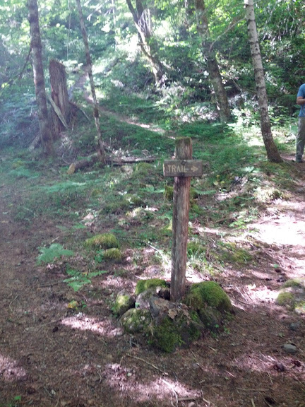
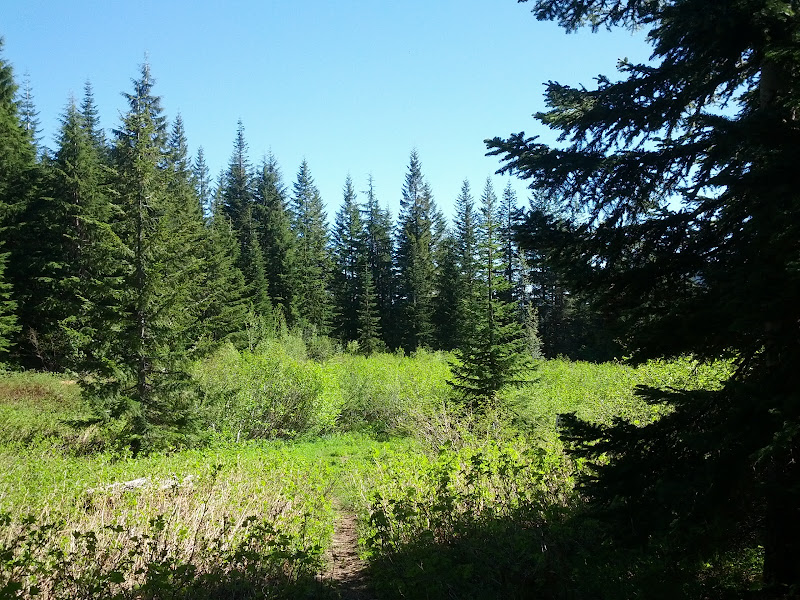
After an initial 0.4 walk on an old road, the trail branches off to the right, and does not stop going up until about 3.5 miles into the trip.
A few views open up ~0.75 miles into the hike.
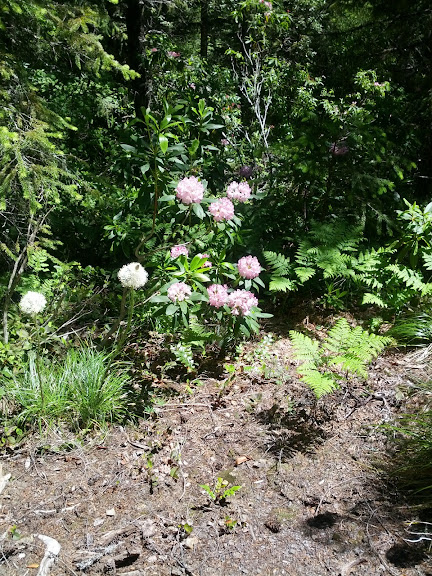
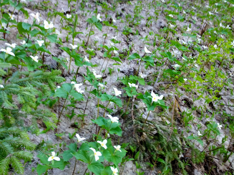
This is beargrass, right?
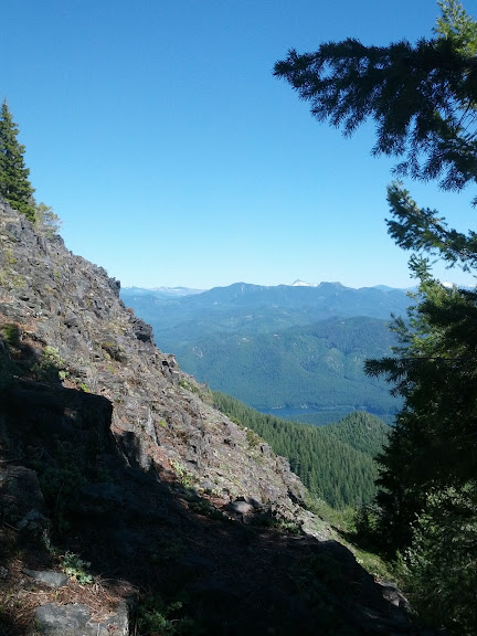
First view up the Tumble Creek "canyon" looking at some cool formations to the west
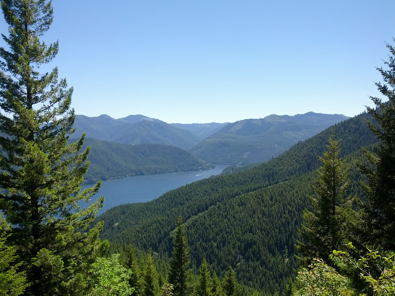
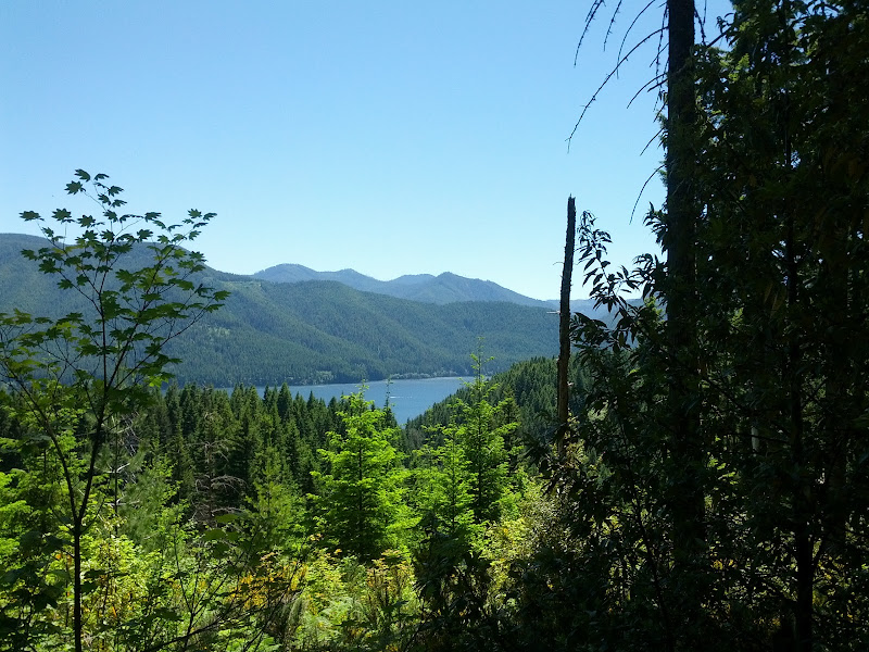
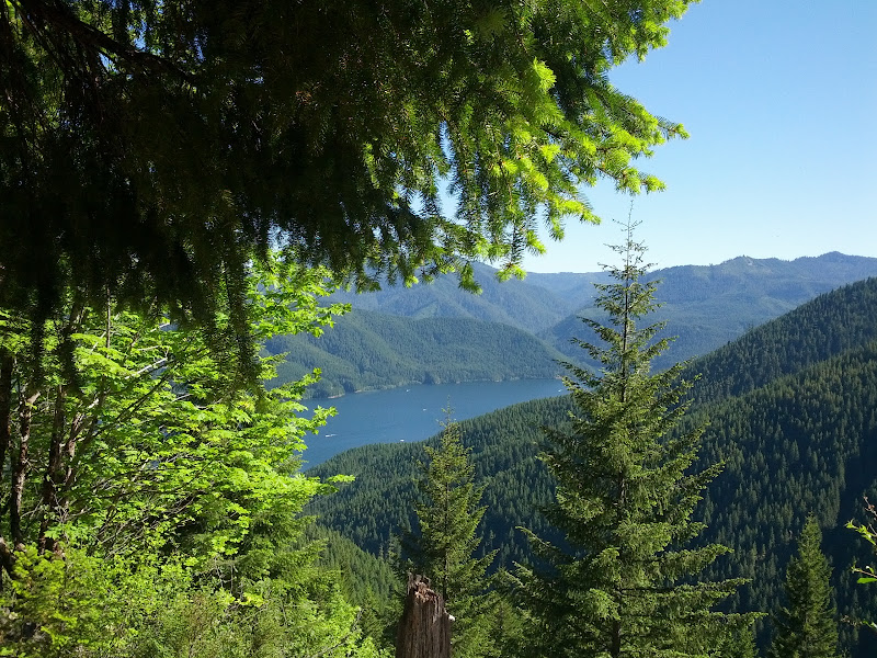
Views back to Detroit Lake, 2 miles or so
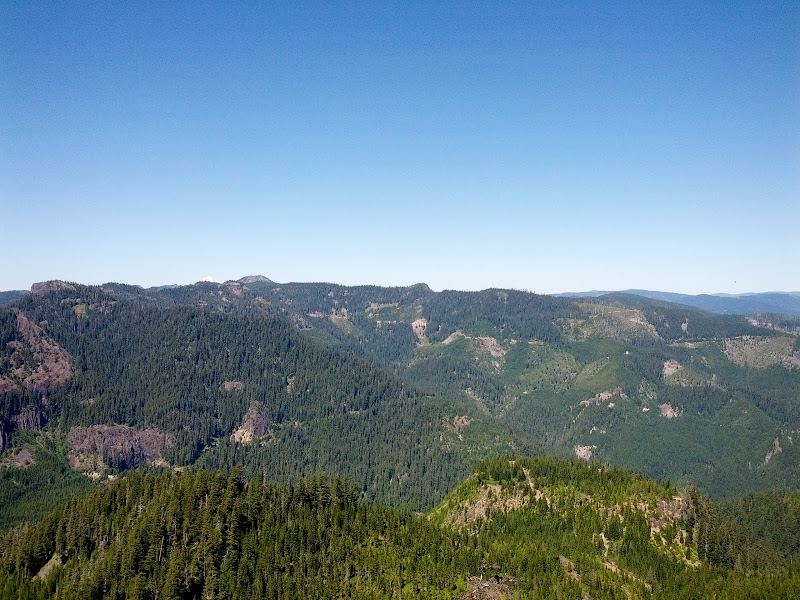
At this point (looking back toward the trailhead at an old clearcut), the trail gets a little bit easier
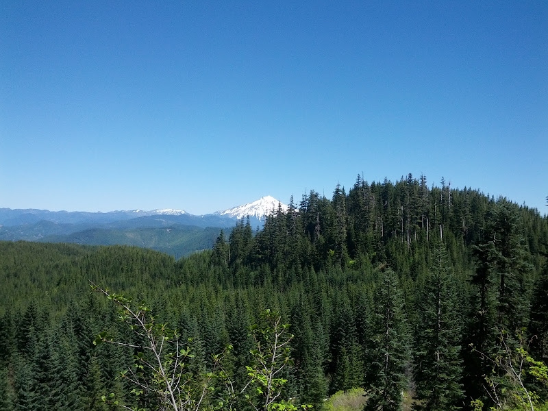
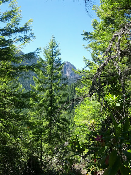
Mt. Jefferson, a bit past the intersection with the old forest road (~4000' elevation)
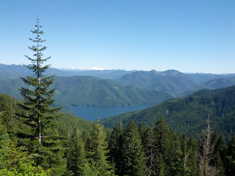
Detroit Lake with the Three Sisters in the background
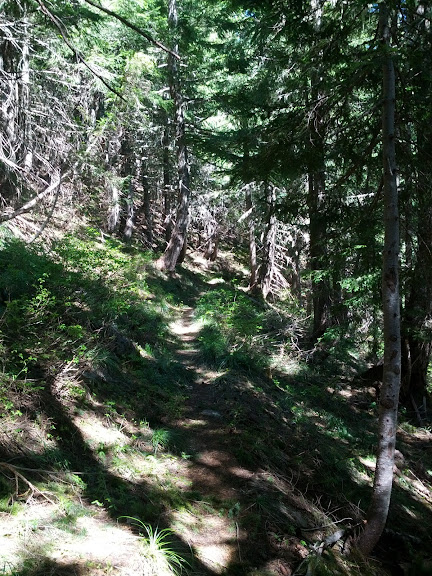
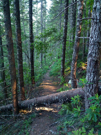
The trail is generally well-graded. There were a few spots with blowdowns, but nothing remotely tricky or confusing.
View to the Northwest from the top. You can barely make out Mt. Hood poking over the ridge
View to the northeast
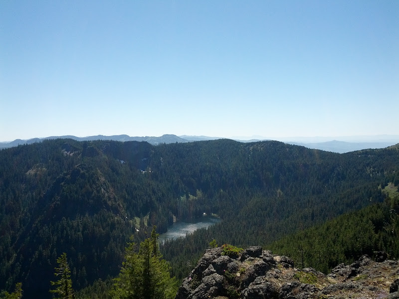
Tumble Lake, directly to the west. Sorry, I didn't have the motivation to add 4 more miles and another 700' vertical to head down there!
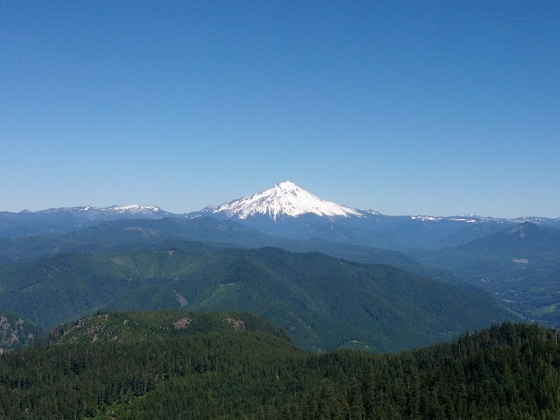
postcard view of Mt. Jefferson
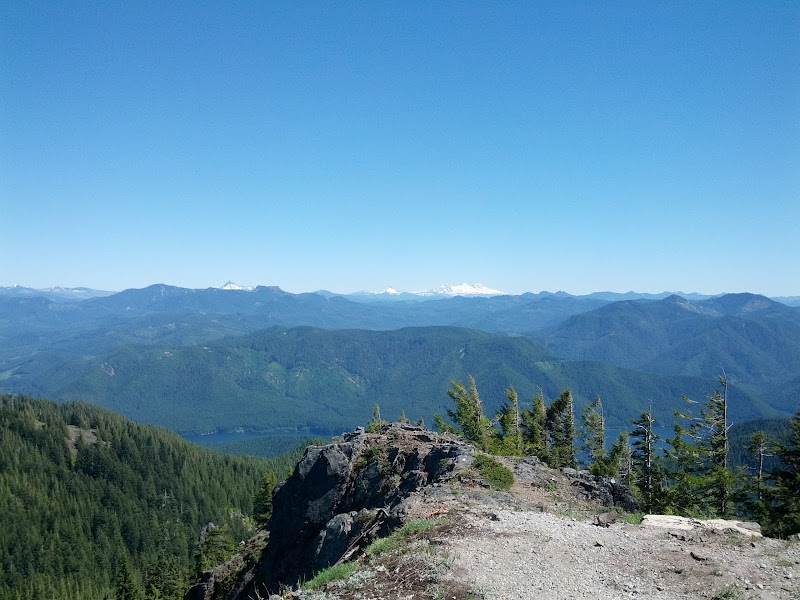
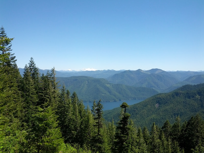
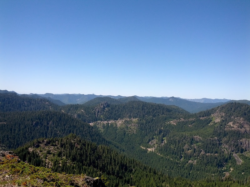
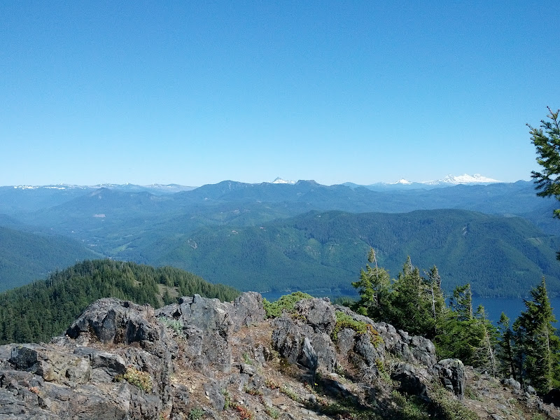
Three Fingered Jack, Coffin Mountain, Mt. Washington, the Sisters, and Detroit Lake (trailhead)
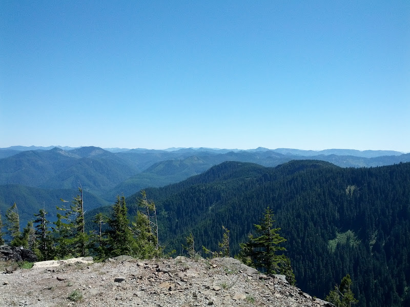
view to the south/southwest

attempt at a christmas card pic
remains of old lookout on Dome Rock
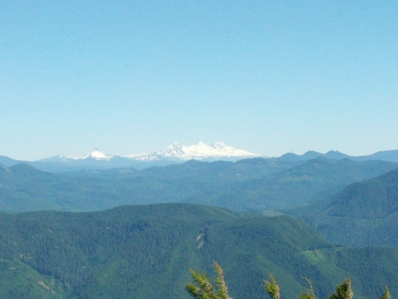
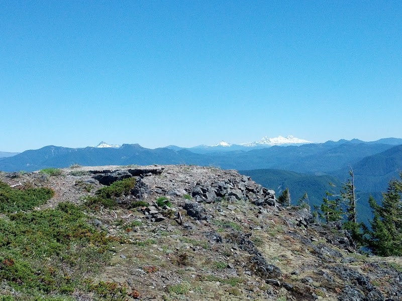
closer view of Three Sisters
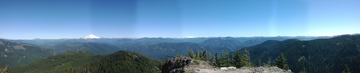
panorama
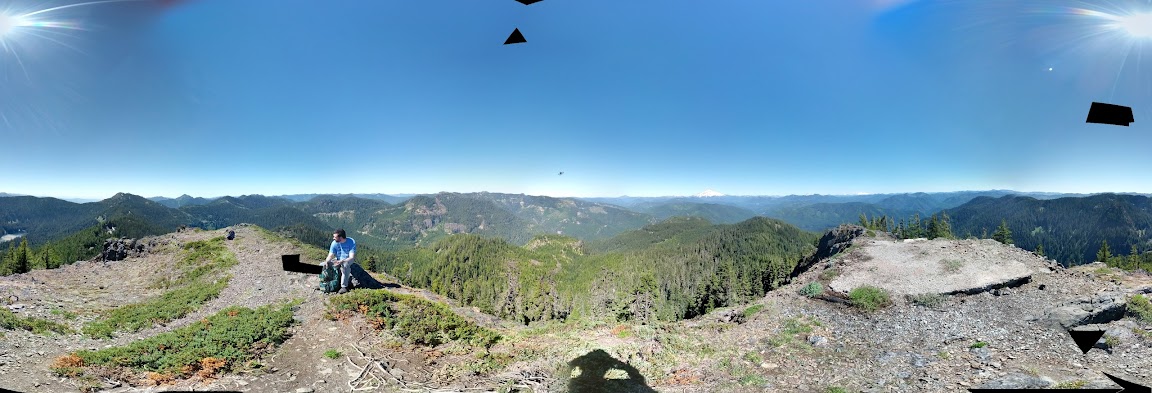
attempt at a 360 panorama

didn't notice this until now, but you can see Mt. Jefferson if you look closely
Lots of green and blue
rocky trail heading down from the summit
rocky trail
a view not easy to find in Maryland
attempt at being "arty"
old clearcut on the way down
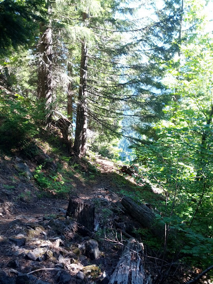
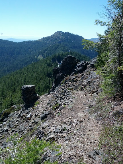
example of Tumble Ridge Trail conditions
more lake
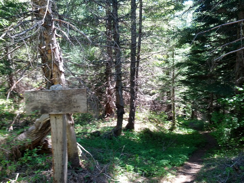
Tumble Ridge Trail, ~2500'
Overall, even though it's not a loop, I highly recommend this! The trailhead is on the north side of OR 22 along Detroit Lake, at milepoint 48 I think.
Thanks,
Chris Saylor
Lebanon, OR


