
I took the Two Chiefs trail to the PCT and that to the Heartbreak Ridge trail and headed up. Judging by how my legs felt here, moving boxes does not count as exercise for hiking. Eventually, I reached the rocky outcrop and had a view of the clouds lazily rolling in from the W.
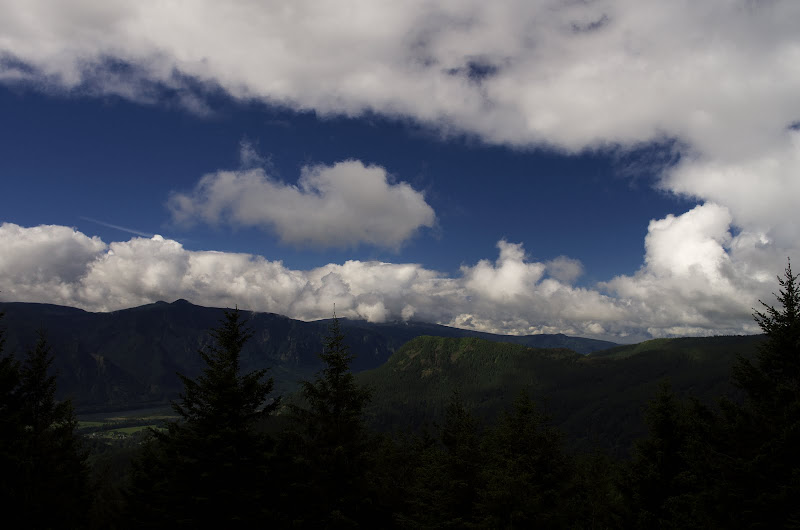
However, by the time I'd dragged by aging and decrepit body to the top of Table, the clouds had settled in to obscure views in most directions. There was a nice view, however, of my planned return route - Table's NW ridge.

The usual way down is to follow the use trail to where it joins an old, somewhat over-grown road on the E side of Pt 3210, and thrash along that to the powerline service road to the N. A while back, I'd found (or re-found, as there was a bit of a use trail, a flag or 2, and some old clothes) a way up the W side of Pt 3210. Except for a couple of short stretches of vine maple, it seemed easier than the road. This time I descended this route, going along the W side of Pt 3210 (arrows). It was harder to follow going down - staying high was important - but otherwise OK. It would need a little clearing to be a viable alternative to the road. After reaching the service road, I climbed up to the PCT and over to where it traverses a boulder field for lunch (yes) and a view (no). Greenleaf was visible but Adams was banded in clouds.

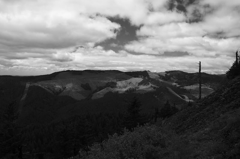
After a nap to kill time in hopes the clouds would clear (no luck), I headed S on the PCT. I'd done a Hardy-to-Hamilton loop hike earlier this year but did not quite grasp the extent of the clearcutting that had taken place in that area.
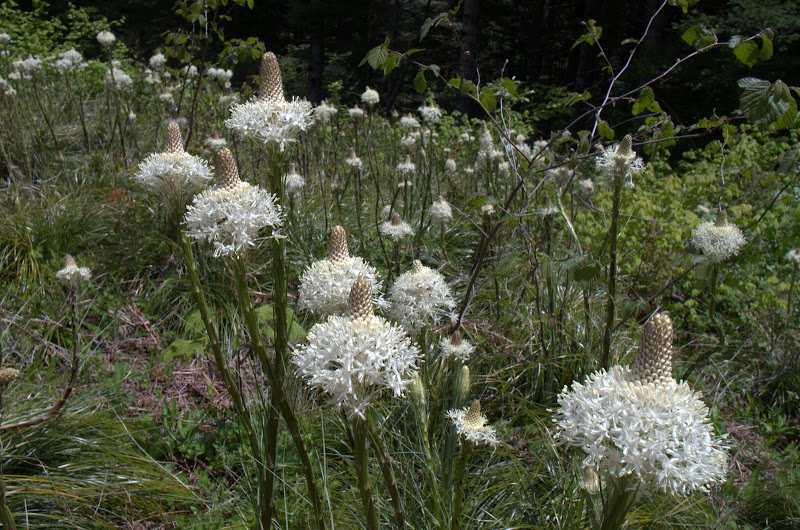
In the short time it took me to reach the bear grass covering the area below the powerlines, the clouds had dissipated and the air temperature had shot up! Amazing! The blue-bird of weather happiness was back!

By the junction with the Cedar Mtn trail, it was as warm and sunny as any one could hope for - magnificent hiking weather!

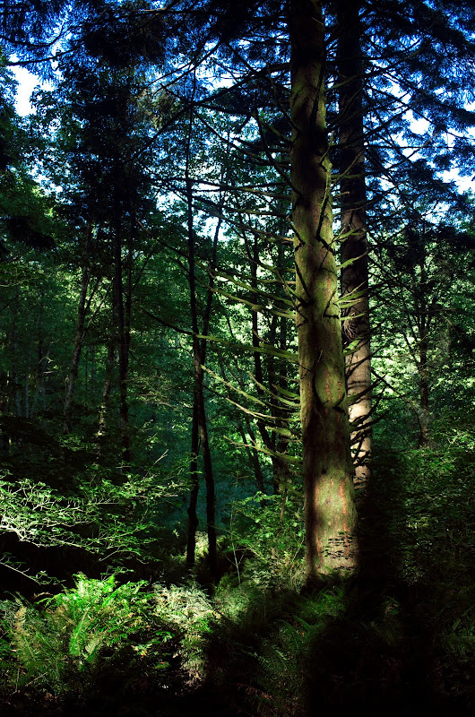
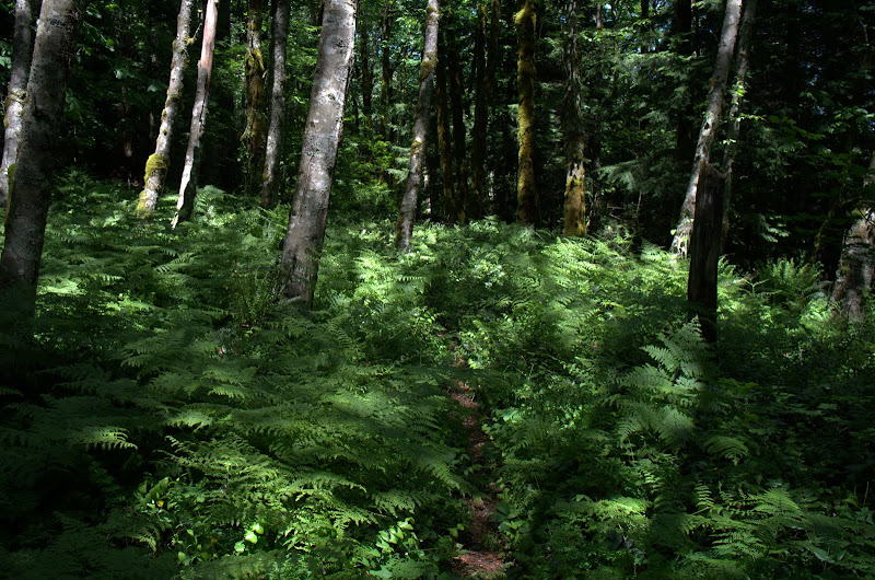
This is now almost a real trail and very easy to follow (no longer any need for flagging). What struck me about this whole hike was how LUSH the vegetation was - seemed greener and denser than in past Springs.
Looking N from the spine of Cedar Mtn, I could see Wauneka Pt (w) and the bald spot just below it which are likely the vision pits.

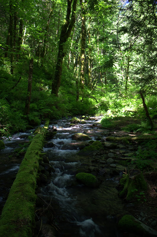
Then on down to Cedar Creek, over the ridge to the road, and along that back to the TH.
After a cloudy start, this turned into a great hike on an excellent weather day (13.5 mi RT, 3500' EG). After I regain the use of my legs, another re-conditioning hike may be needed. I should also note that next time, we'll be hiring movers.


