
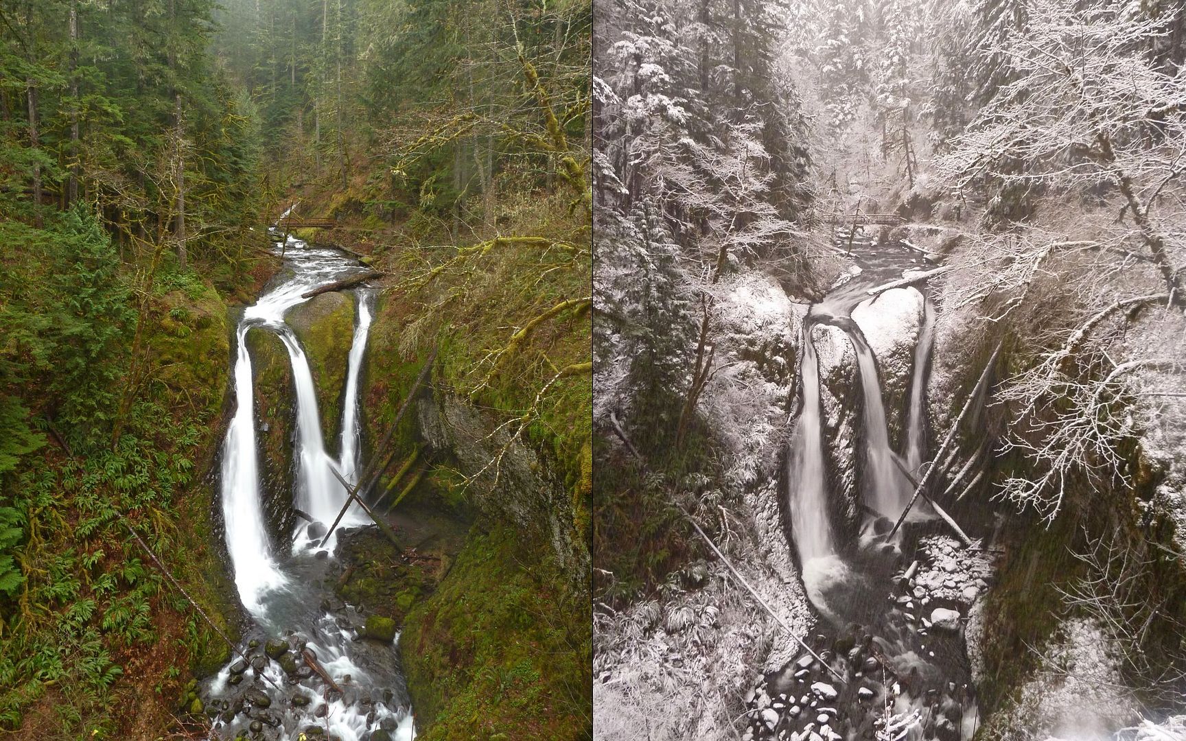
10:05am on left, 4:11pm on right.
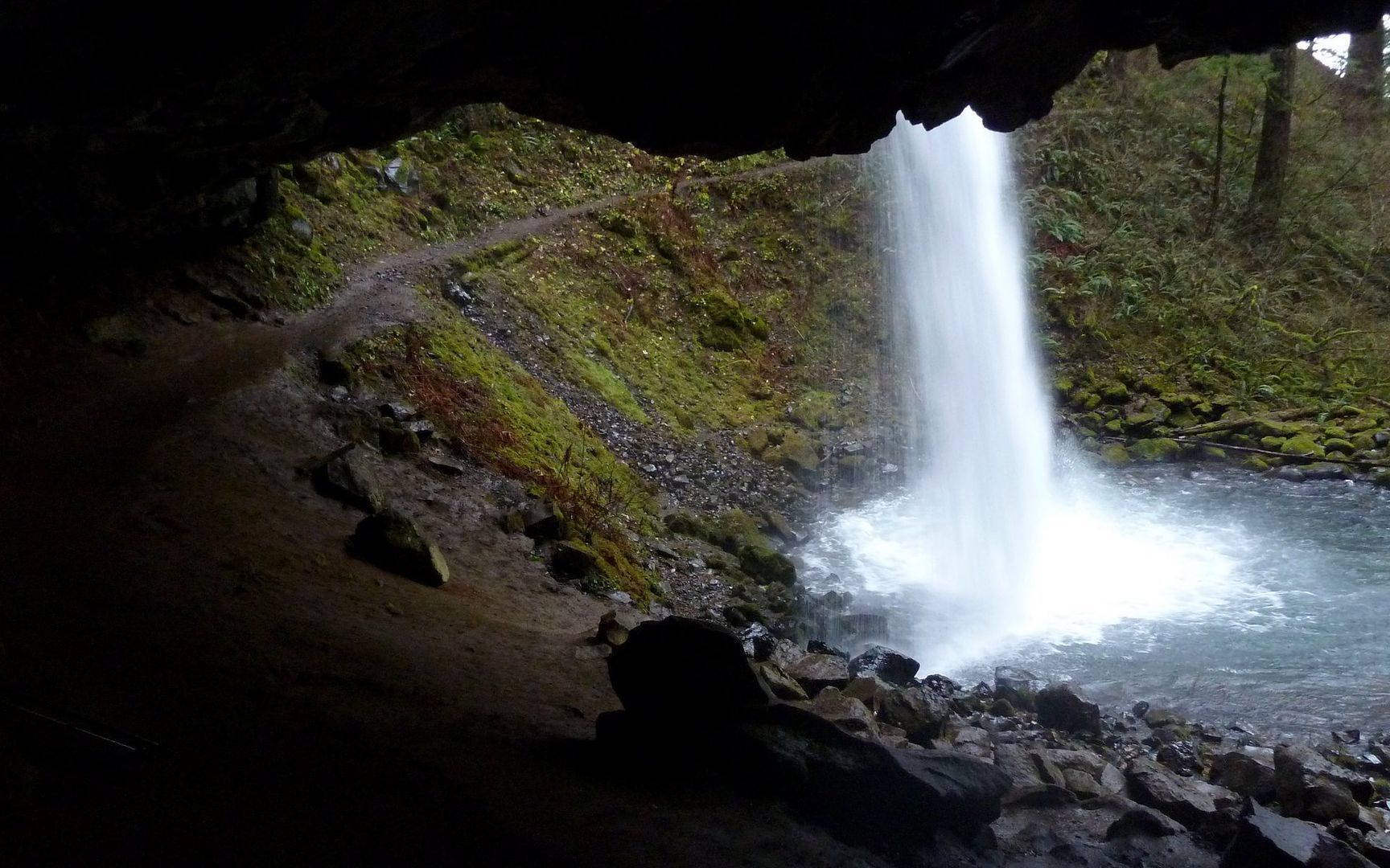
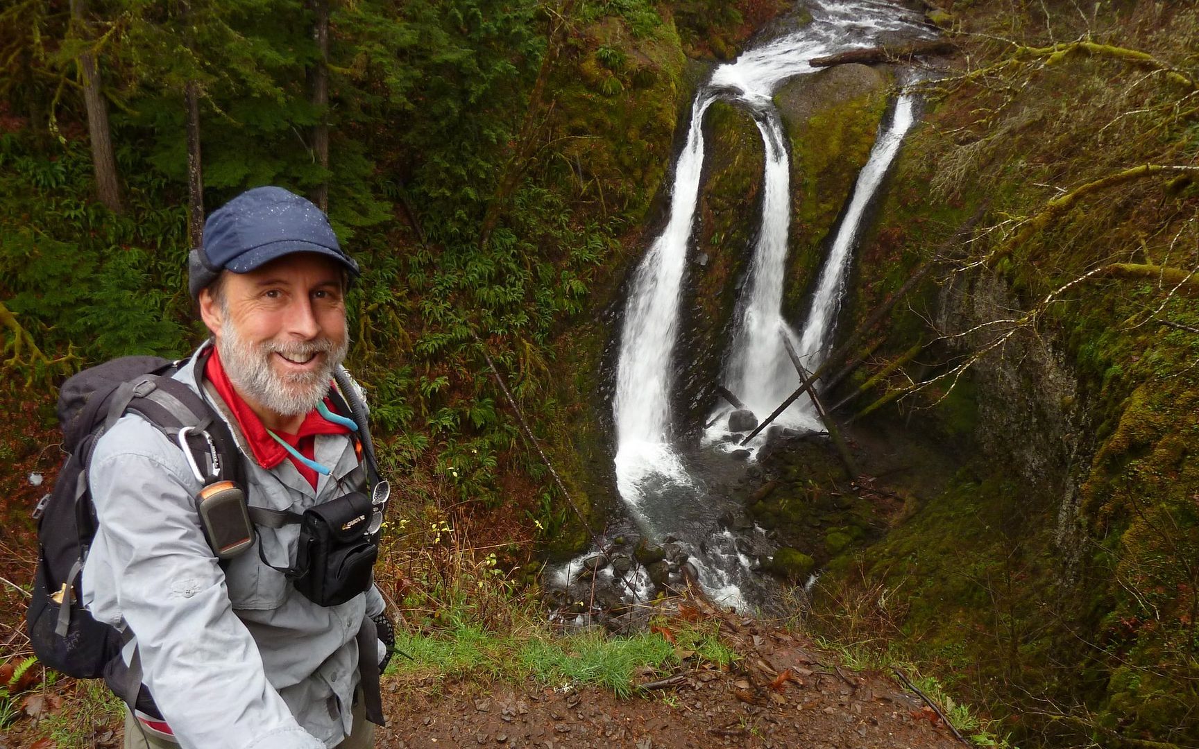
Climbing up from Horsetail Falls, it only took a short while to come to Ponytail Falls. I think it's the first time I've ever been there, and not had to wait for a shot clear of other people. That's how the whole day went. Didn't see another soul for the next 10+ miles.
This would be the absolute highlight a hike, just about anywhere else!
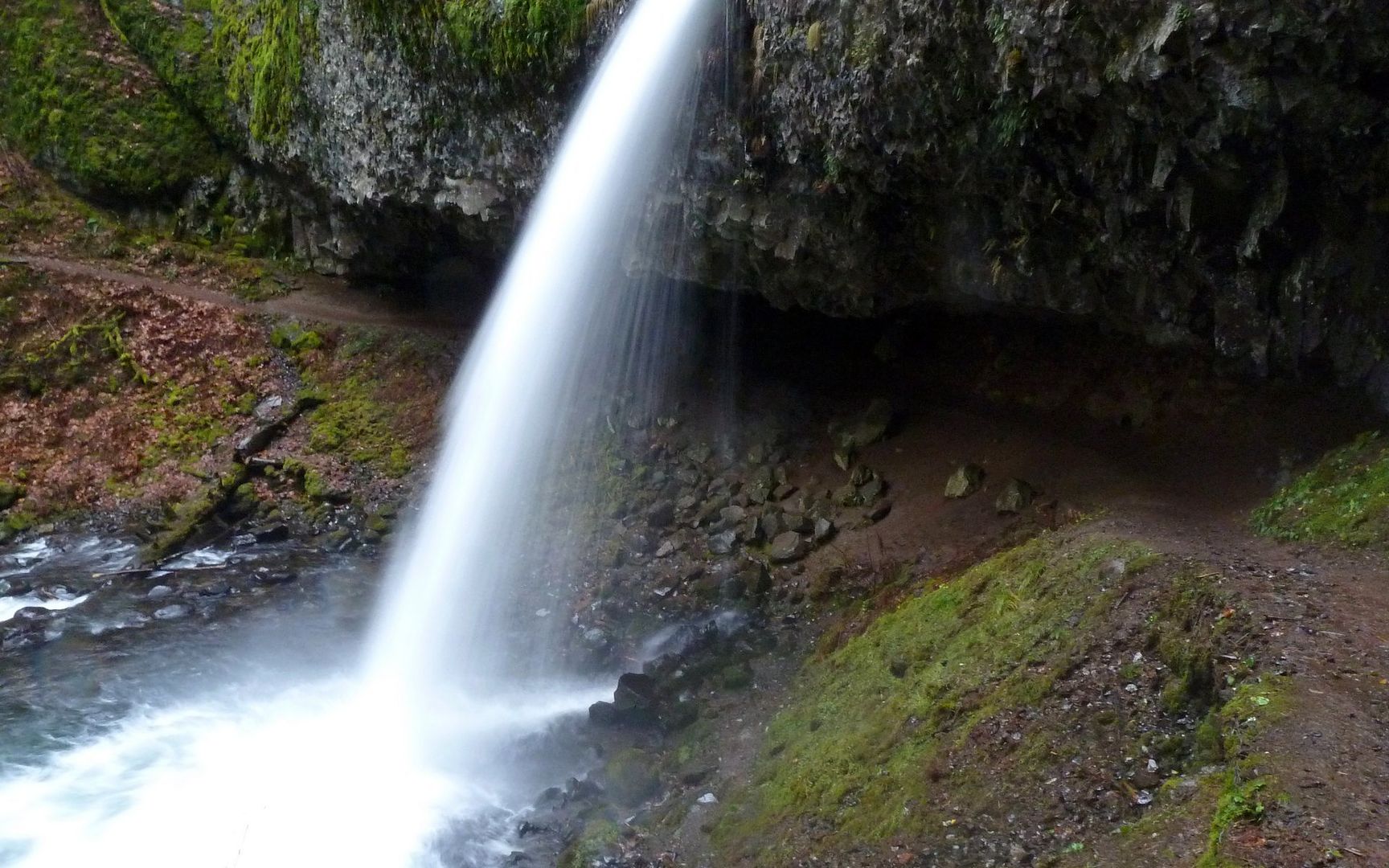
Ponytail Falls
I think this view must normally be obscured by leaves. Not sure I've seen it before.
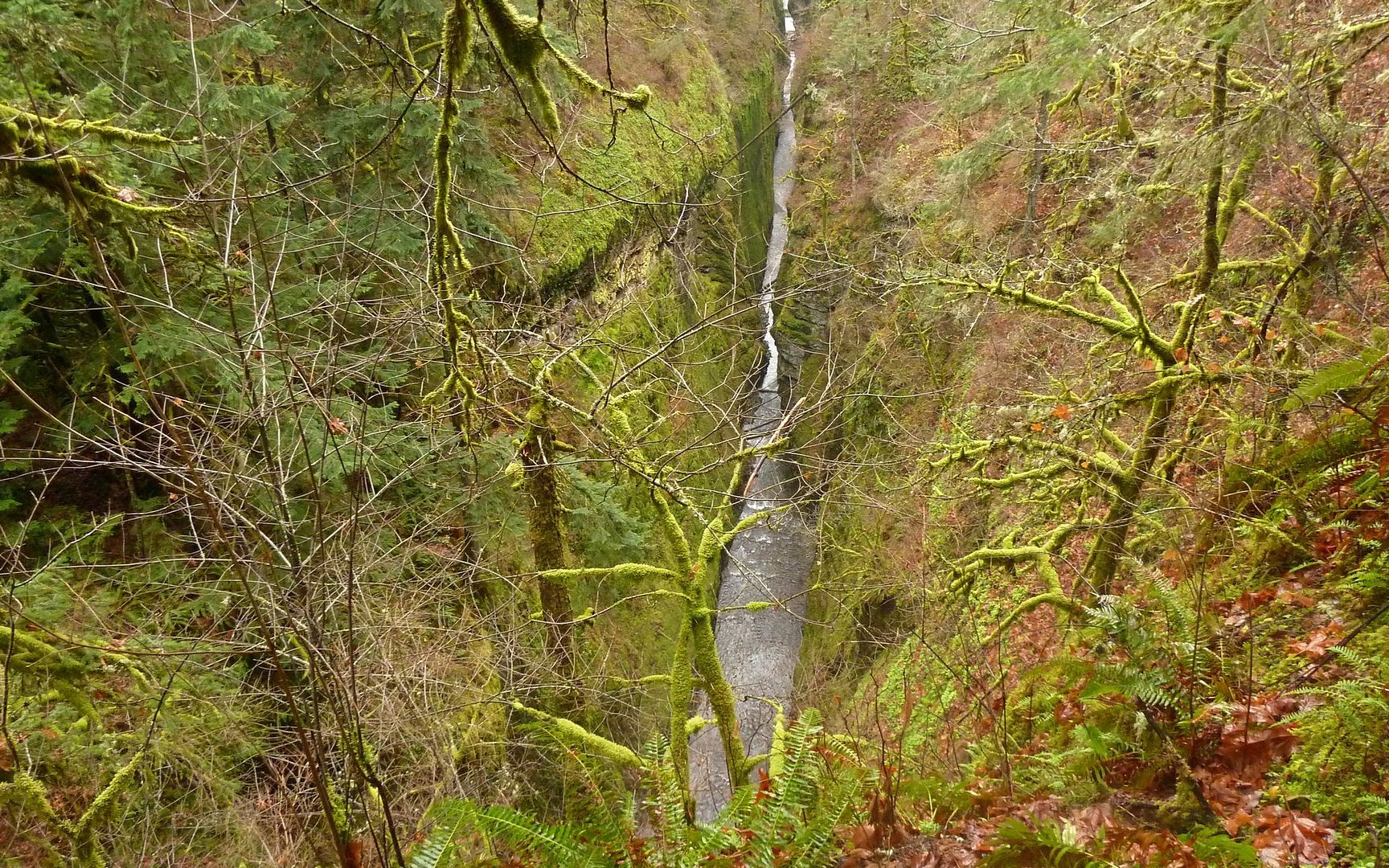
Oneonta Gorge
Similarly, it seems when the leaves are out, this falls isn't as clearly seen, either. I'm really appreciating winter in the gorge more than I had thought I might. ("He says now!")

From the footbridge over Oneonta Creek.
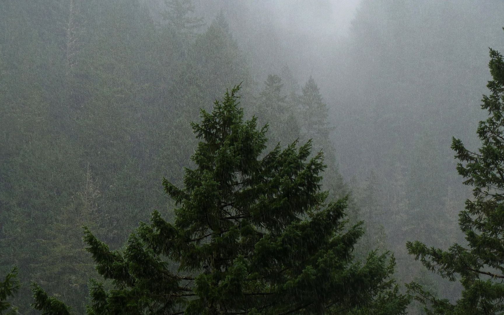
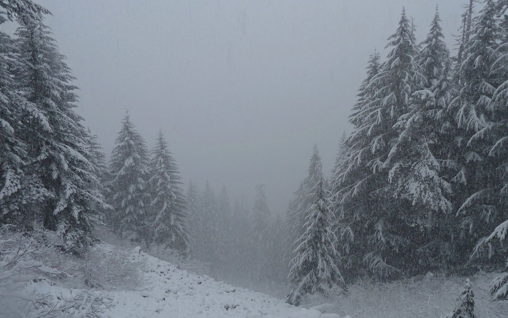
The first real flakes are falling not long after I turn south up Oneonta Trail.
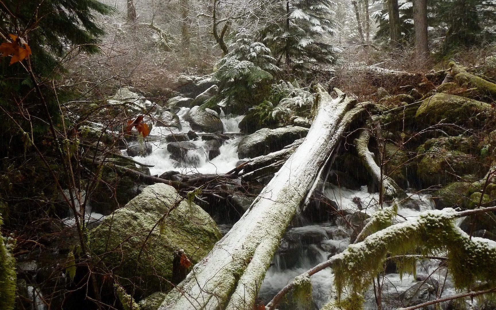
I had Triple Falls completely to myself. Unreal...
Practicing with the StickPic. With it, the arm out is still there, but I like the extra distance!
Snow didn't really start sticking very well until nearly 1200' on the way up, and was definitely clinging to things by the second footbridge.
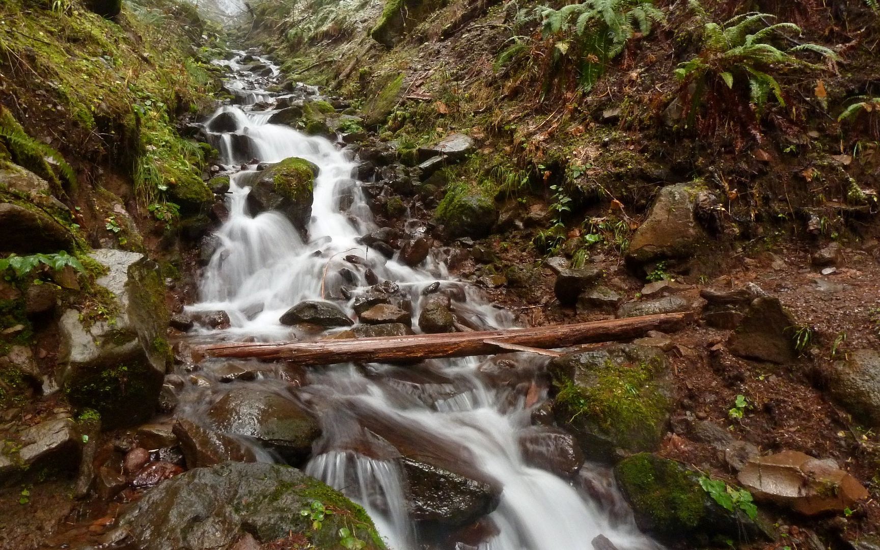
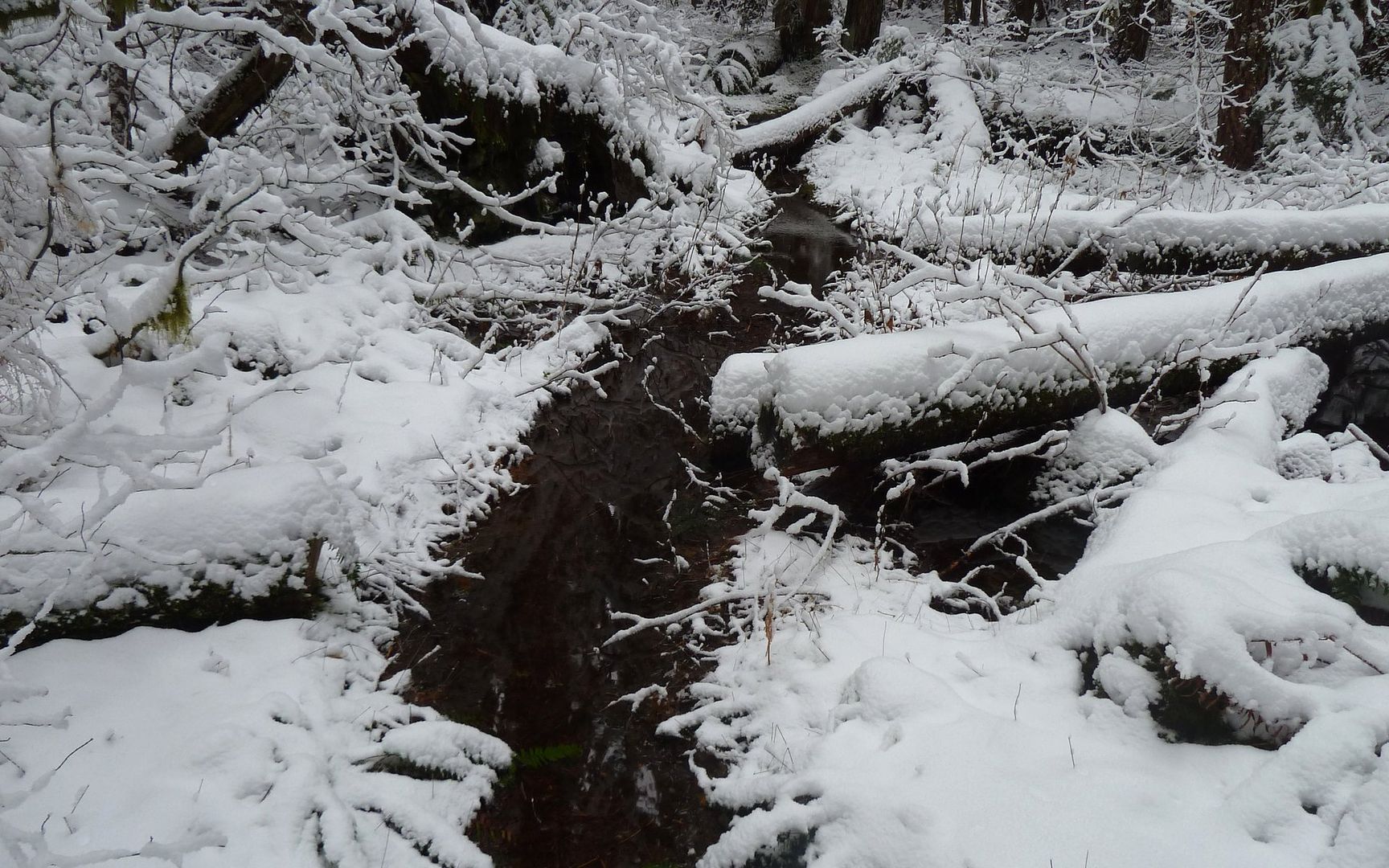
Just a beautiful little feeder stream across the trail.
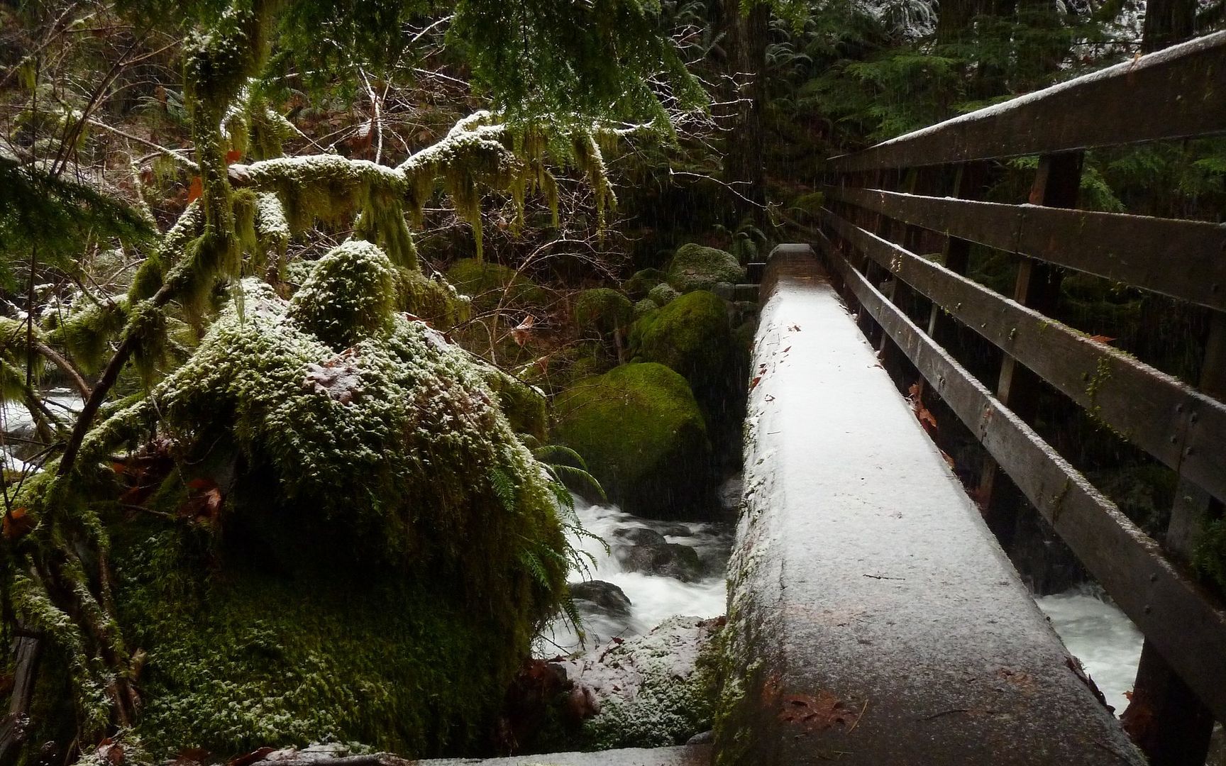
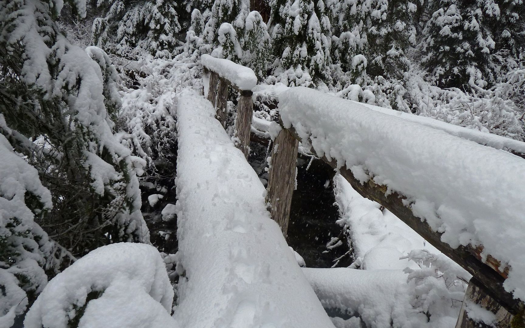
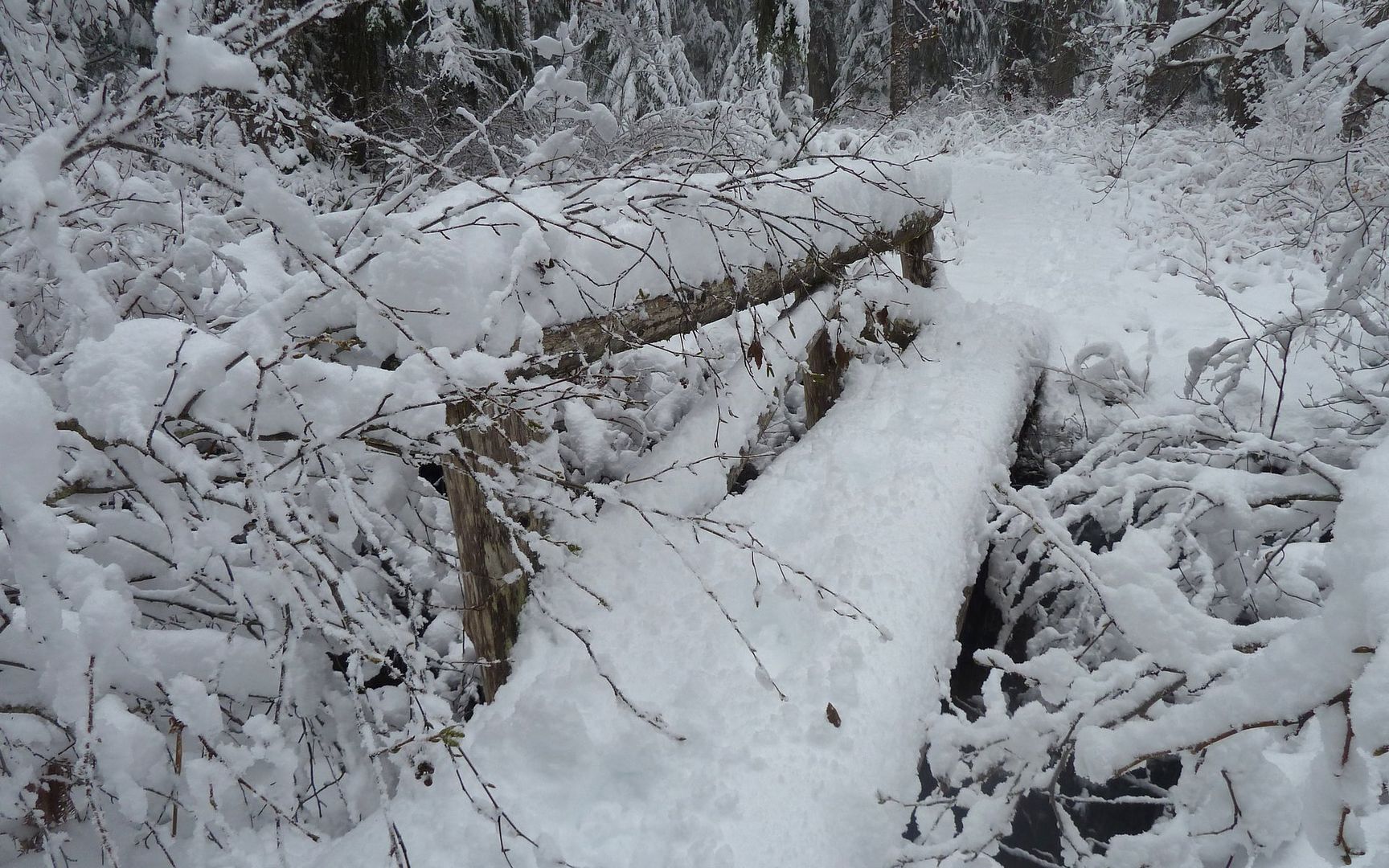
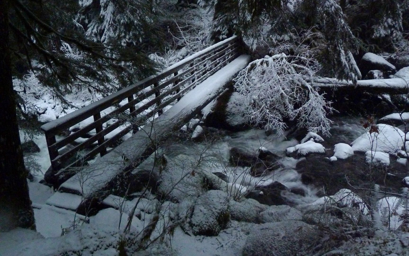
Last footbridge across Oneonta Creek. (Well, not technically true, but for sure here on the lower section.)
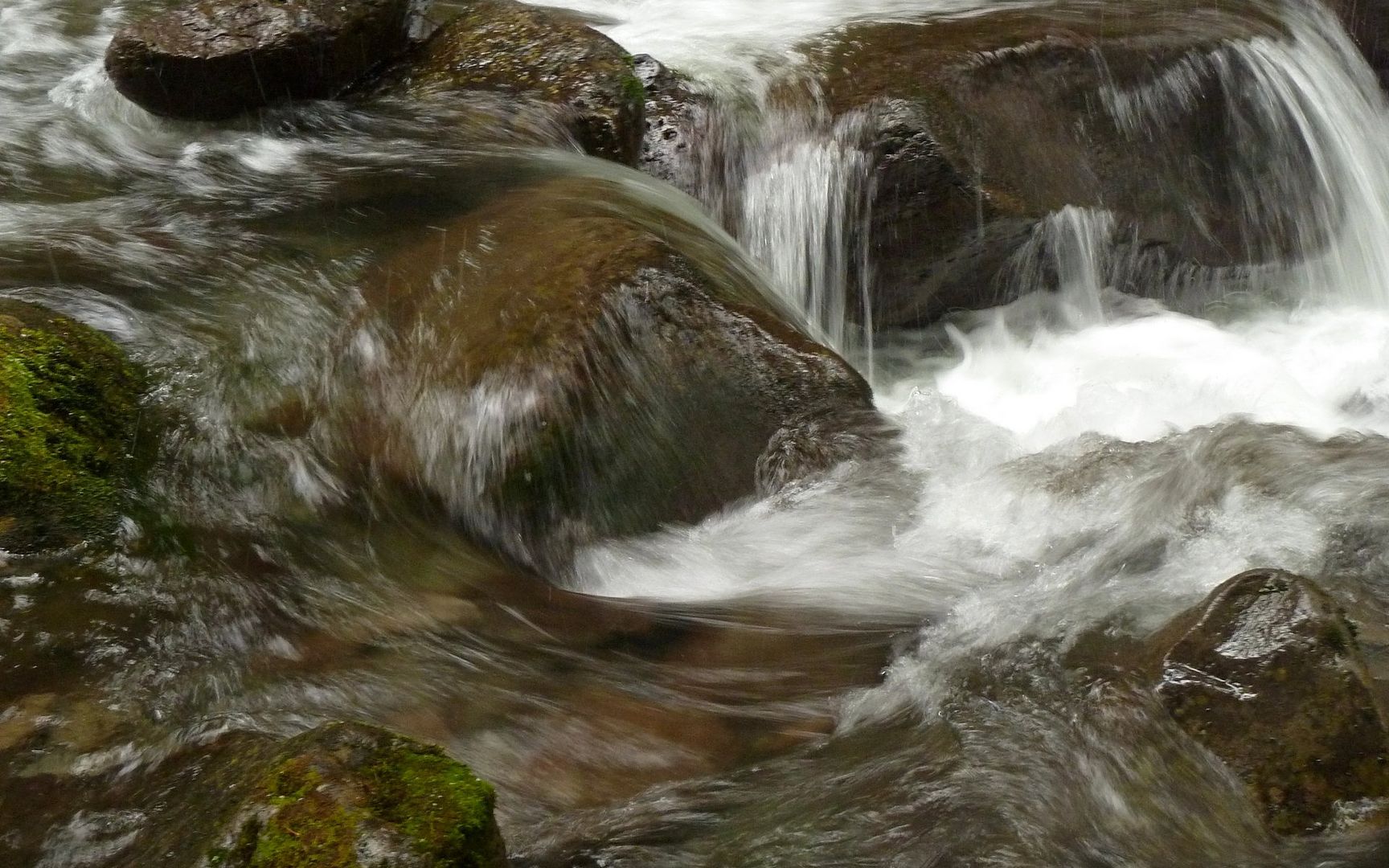
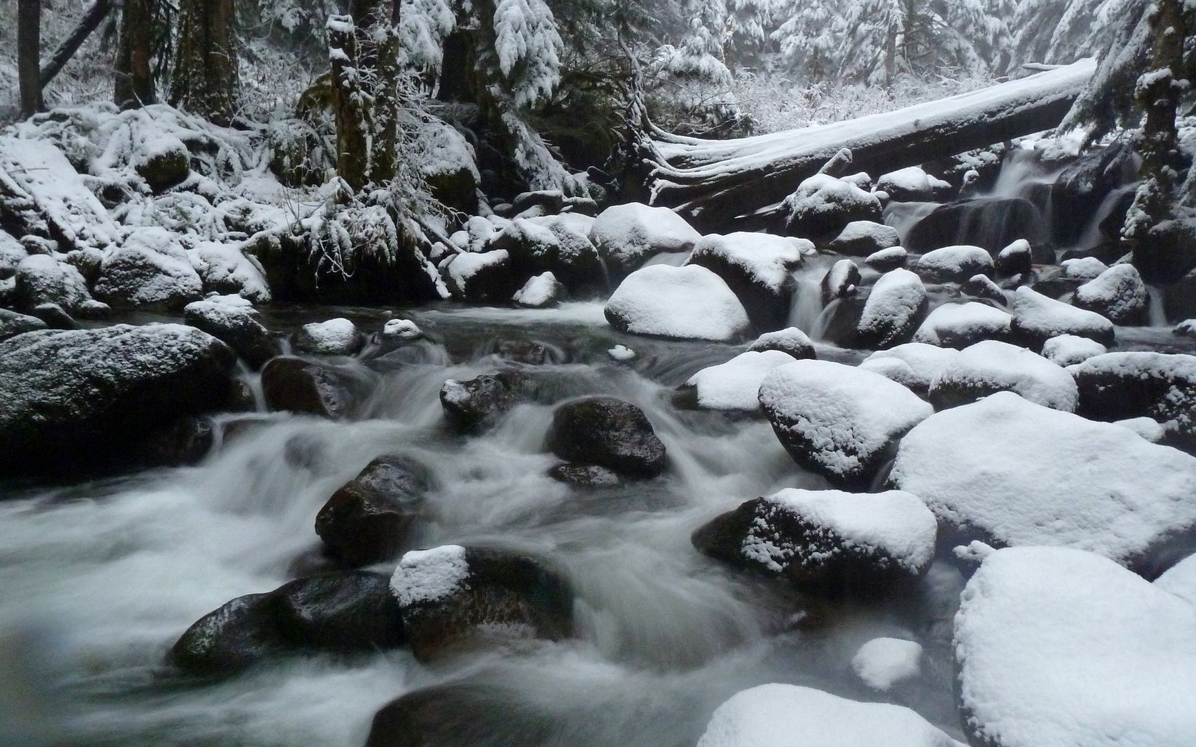
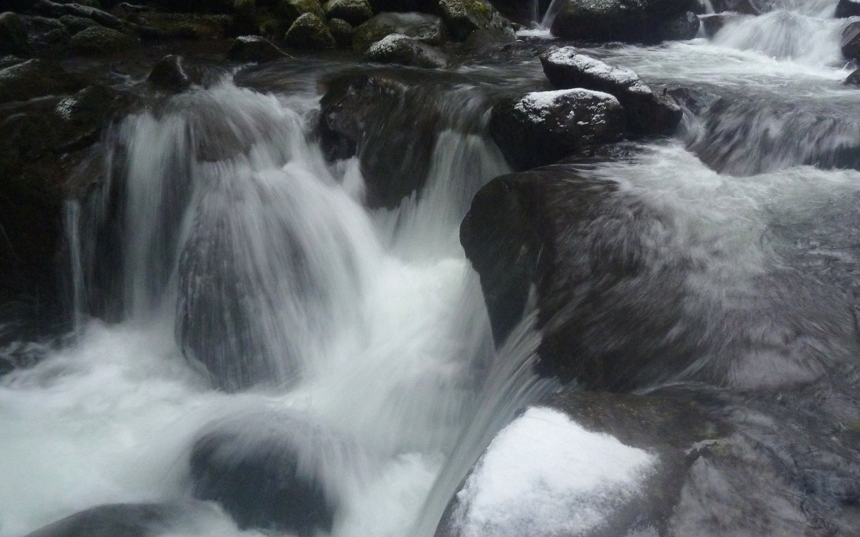
Oneonta Creek from footbridge.
Now here is where I need to part company with the Field Guide! It advises crossing the footbridge, and continuing up another quarter mile or so, before fording Oneonta Creek back to the other side. To be as polite as possible -- that's just nutz!
Luckily, Peder alluded to a better way, and EP told me there's a user trail along the eastern shore of Oneonta Creek. Sure enough! It's not the purdiest thing, but it certainly beats fording that creek! Especially in the winter. Or, I imagine, the springtime. Holy cow, that would've been a hike killer. This is the recommended ford site from the eastern side:
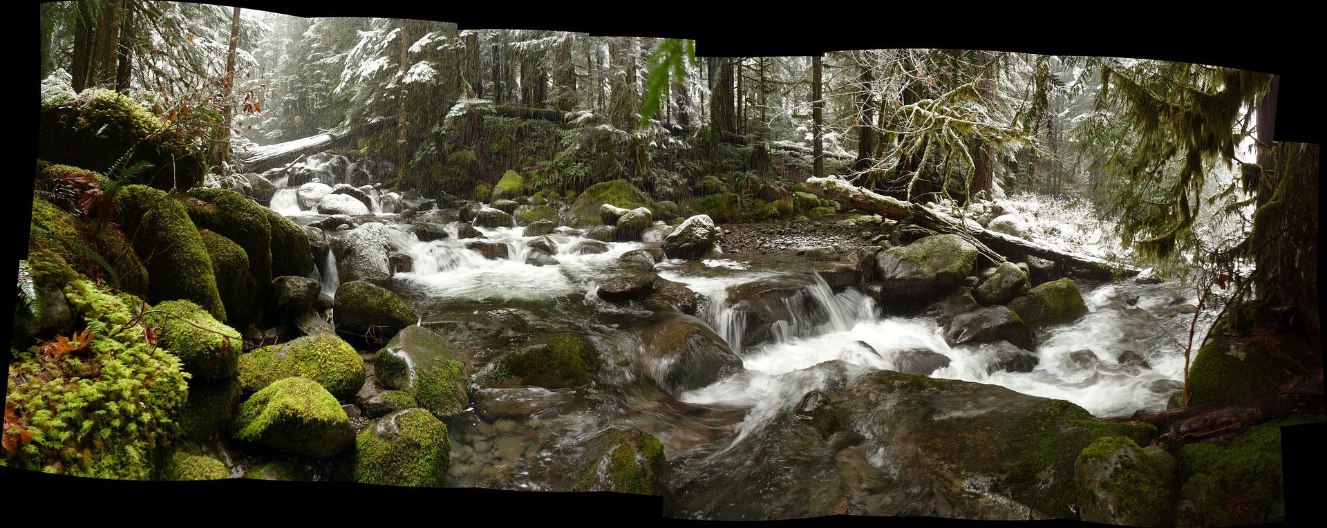
Oneonta Creek ford site panorama. (Interactive)
Stepping stones?
Of course, to get there, I'd have either had to get totally soaked from the shins or knees down in freezing weather, or simply walked along a fairly decent path along the shoreline. Seems the only trick is knowing it's there. Someone did lay down a bunch of sticks and logs where it takes off, trying to divert people from using it, it seems. But once you scramble over those, no problem!
Okay, so it's not the most obvious trail you've ever seen.
But someone's gone to some effort to help you along the way, with notches cut in downed trees, ...
...crude bridges built with rotting cedar over small creeks,...

...and even a bit of flagging when the trail veers right up the hillside.
From the ford site, the Horsetail Creek Trail (#425) meanders up the ridge for a couple miles. (Anyone know if that ridge has a name?) I didn't count, but there were lots of switchbacks. Nothing serious at all. Just a leisurely stroll. I almost wished it took a more direct route, as it seemed to take a long time to get atop it.
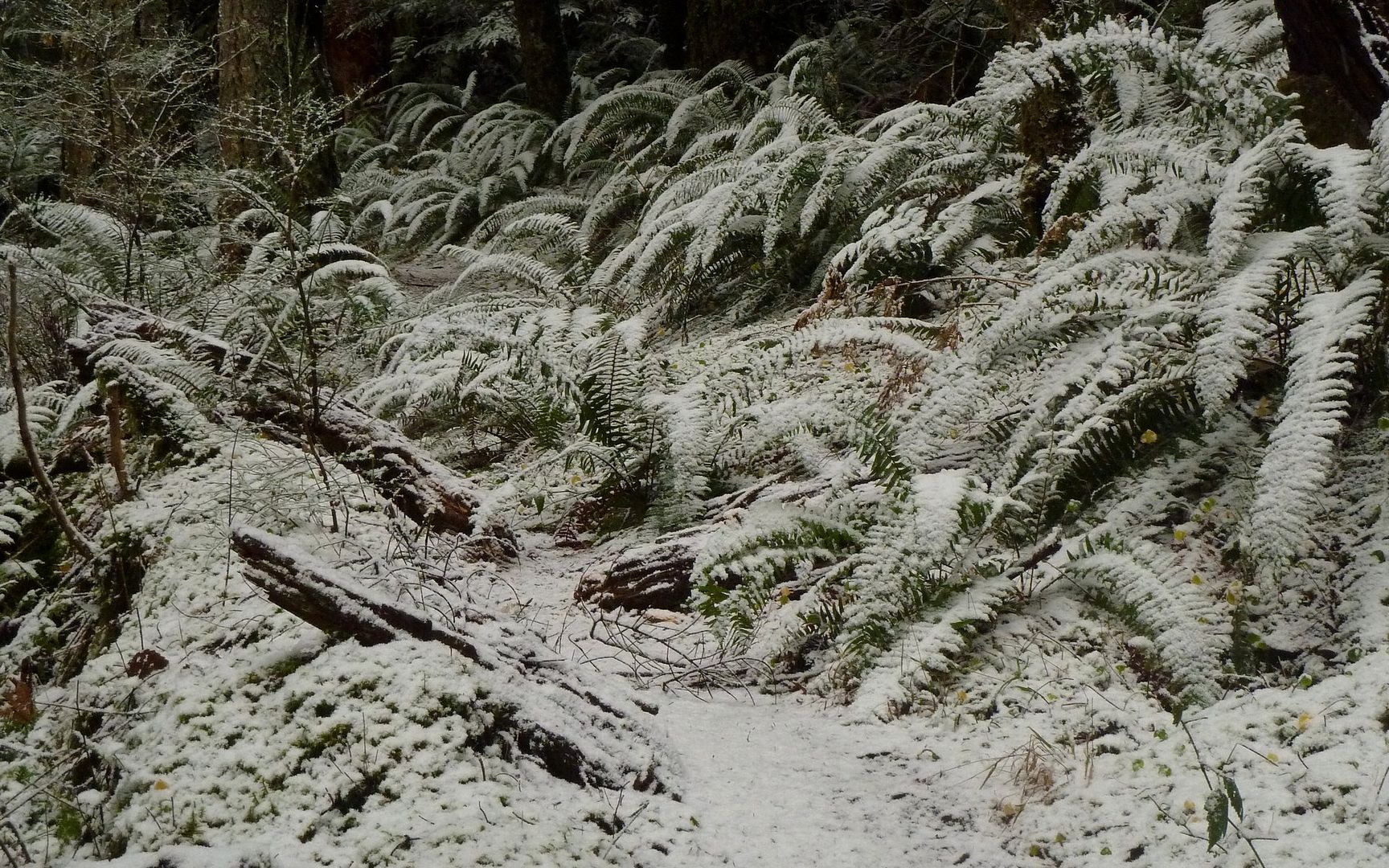
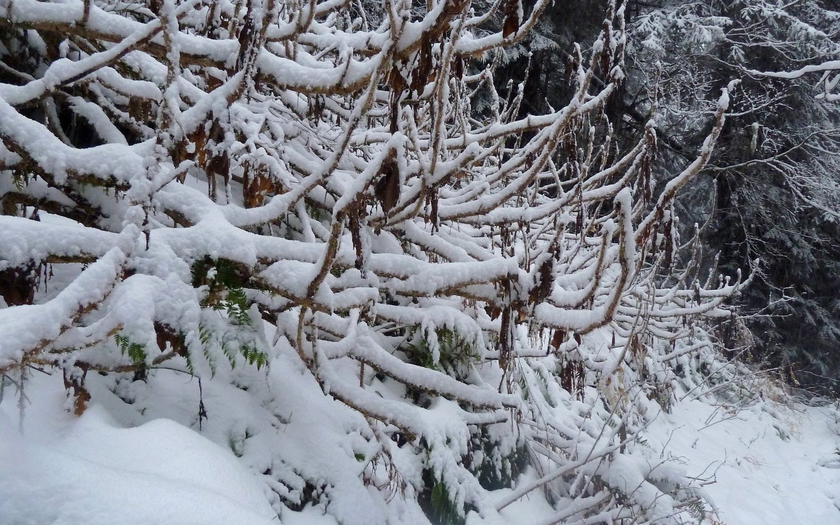
Along the ascent, the ferns, oregon grape, and other plants were highlighted by the fresh snow.
At times, the trail turned into a creekbed.

I'm positive this would be a stunning viewpoint, if it were possible to view!
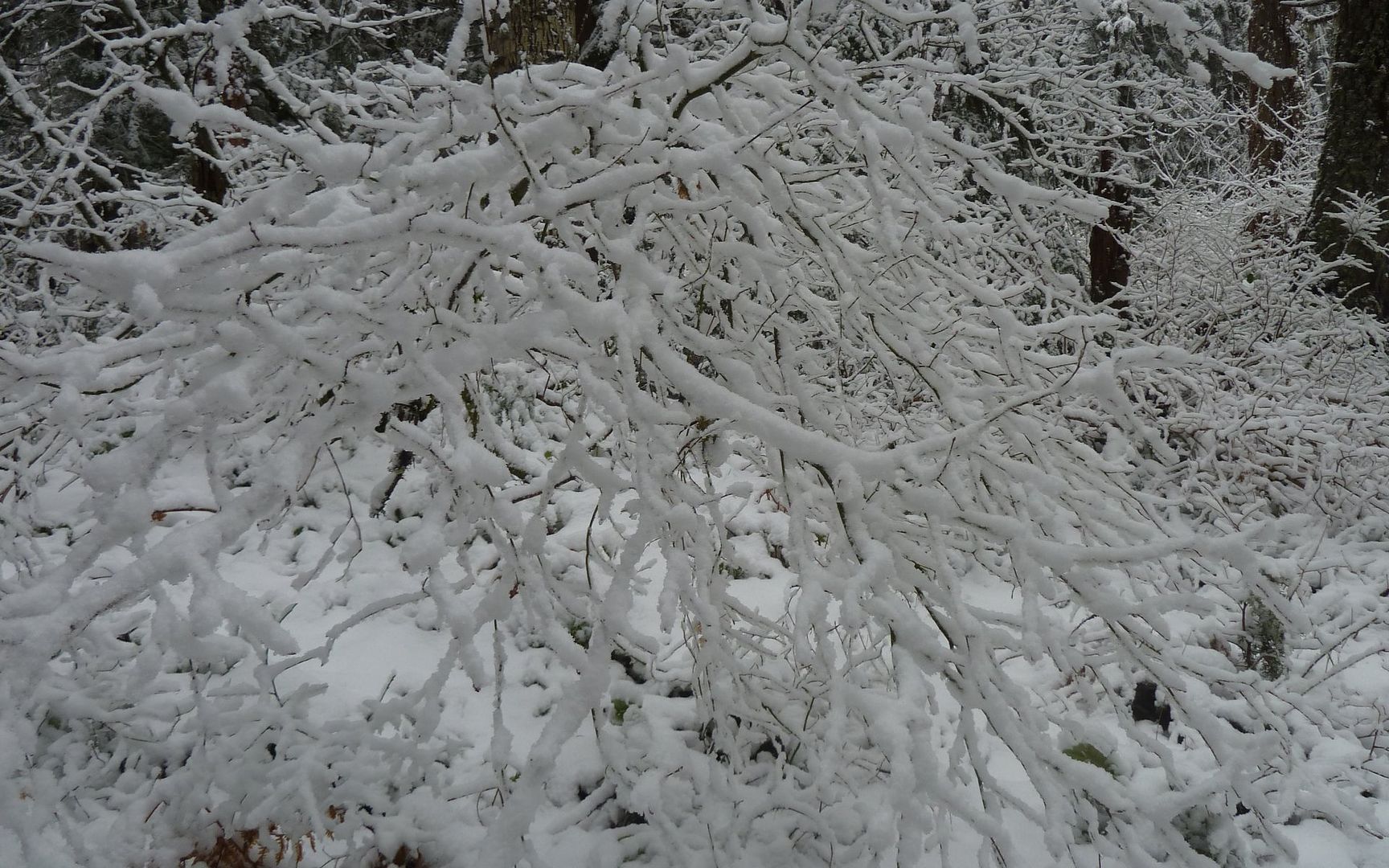
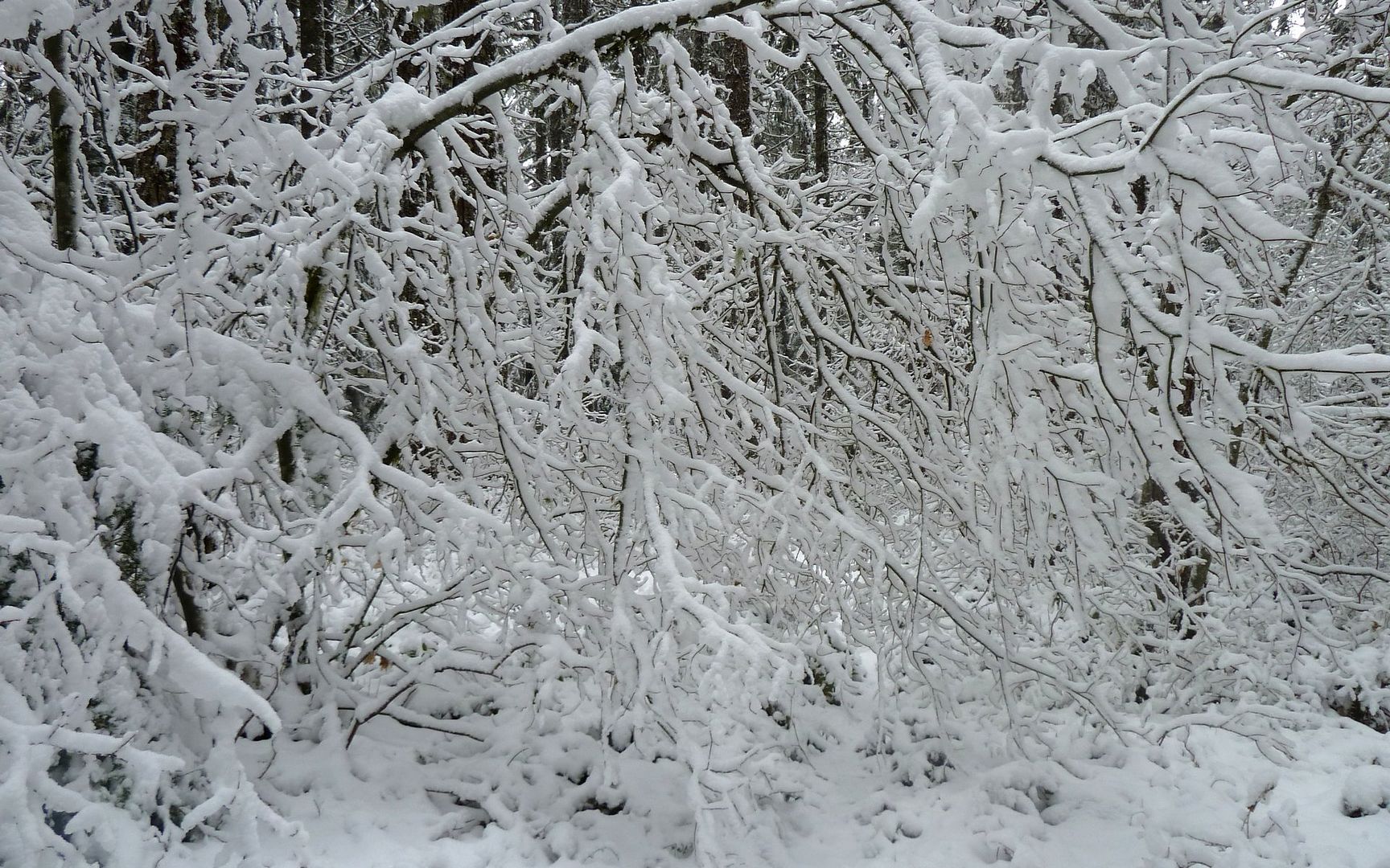
Now, the vine maples were getting in on the showing off act, their skeletons adorned with snow.
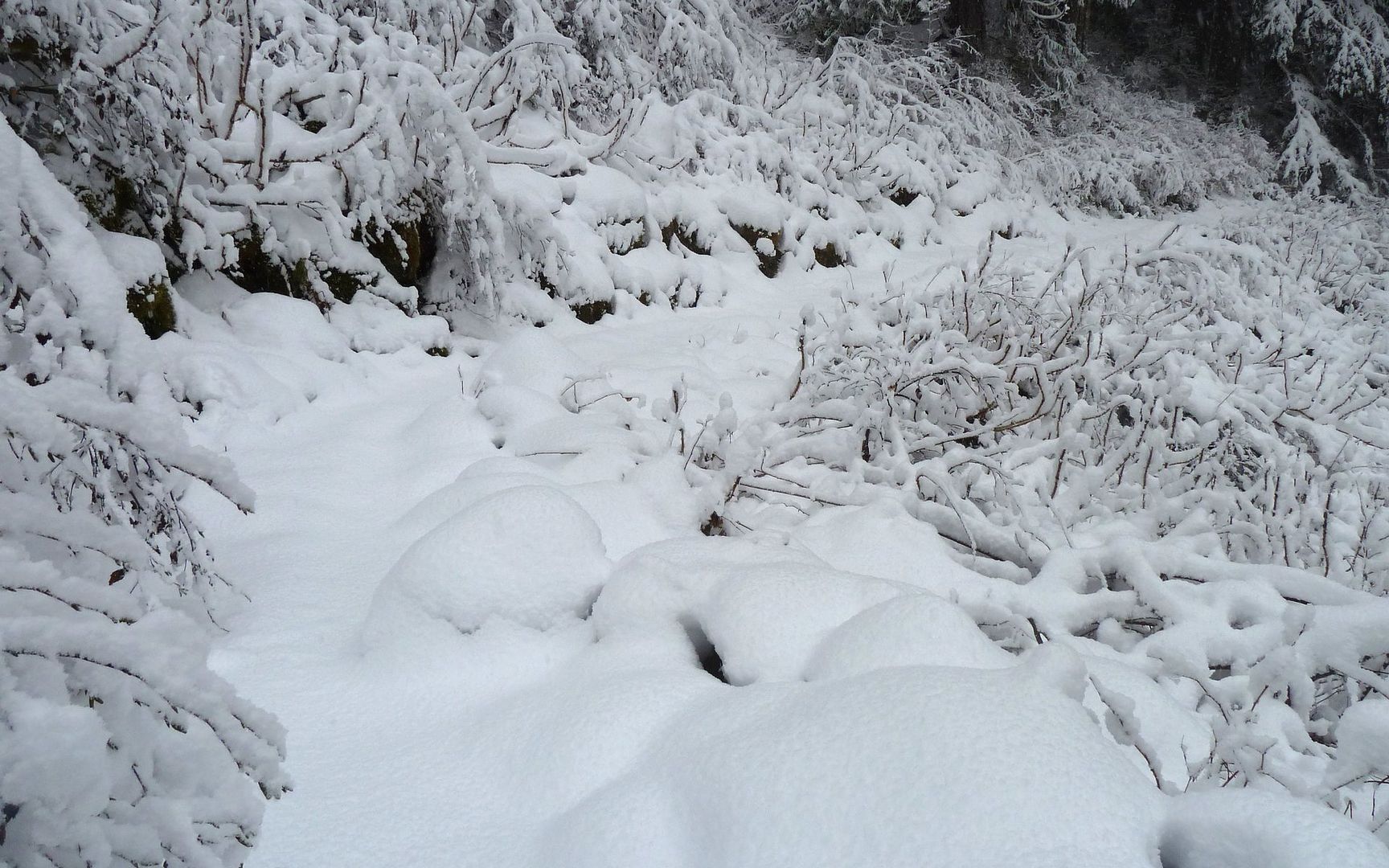
And, yeah, the trail was becoming a bit more obscured, with the snow weighing plants down over it.
It was 12:20 when I finally hit the junction with Bell Creek Trail (#459), which was well marked. The sign tells me it's 3.3 miles to Oneonta Trail, from which I have a good feeling I can make it down "no matter what." I was less sure of what lay between me and that point. The snow was now well above my ankles, and I'd heard this trail was less than optimally maintained. The problem I was seeing with loops at this point was, my options for turning around and retracing my steps were getting fewer by the mile. At some point, I was really committed to pushing through no matter what. So I did some math, and thought if I'm not to the next junction (which is still 7 or 8 miles from anywhere) by 2 o'clock, I'm not gonna be a happy camper indeed.
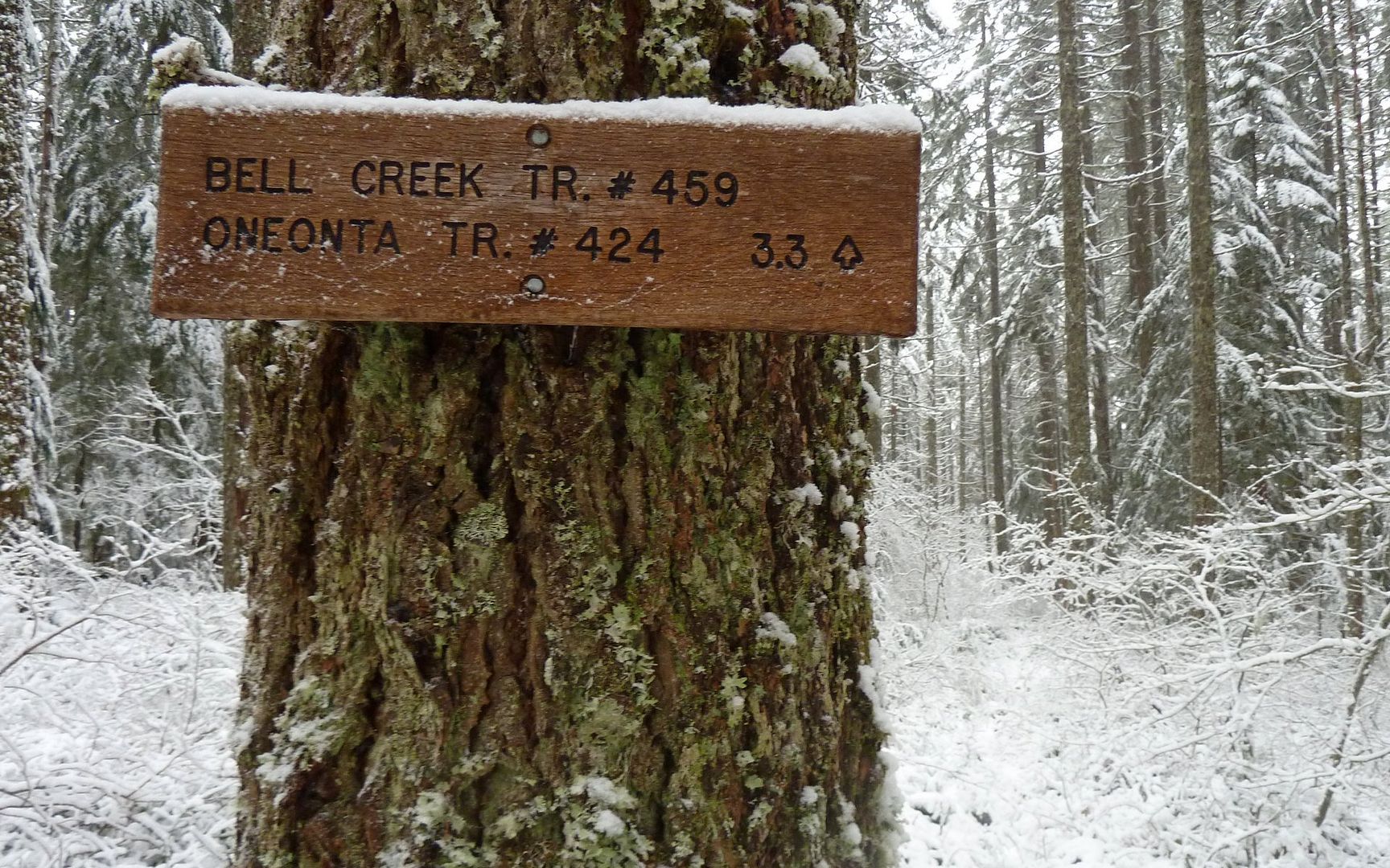
3.3 miles - if I can do it by 2:00pm, I should be able to get out before dark? Time to kick into gear!
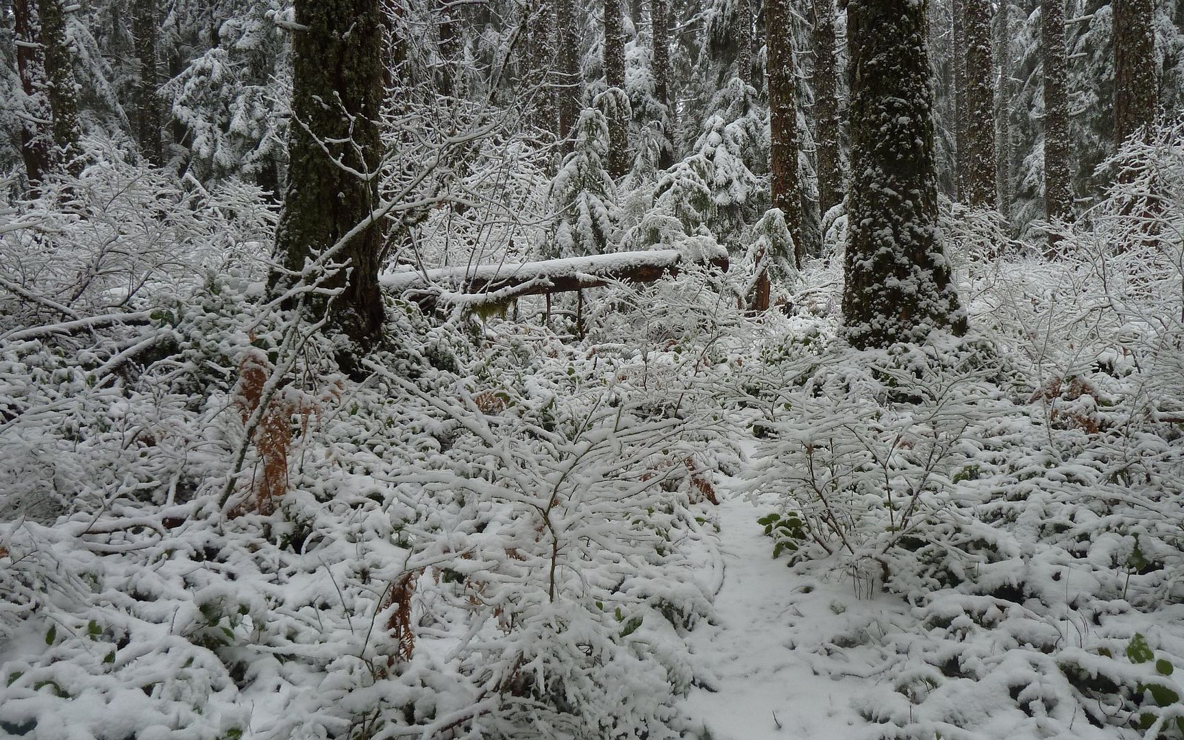
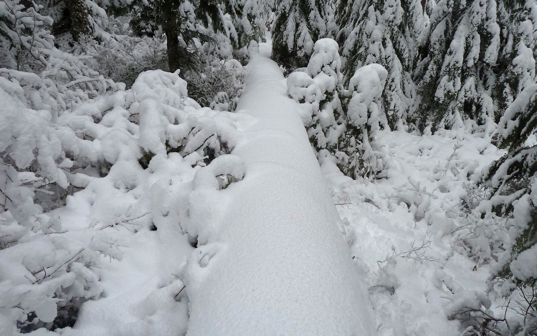
The trail degrades on cue...
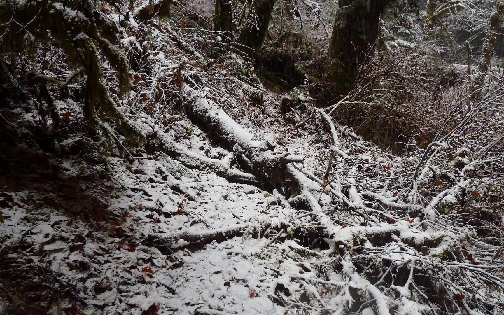
Much of the forest conspires, under heavy snowfall, to hide the trail. Yes, the trail is in this photo.
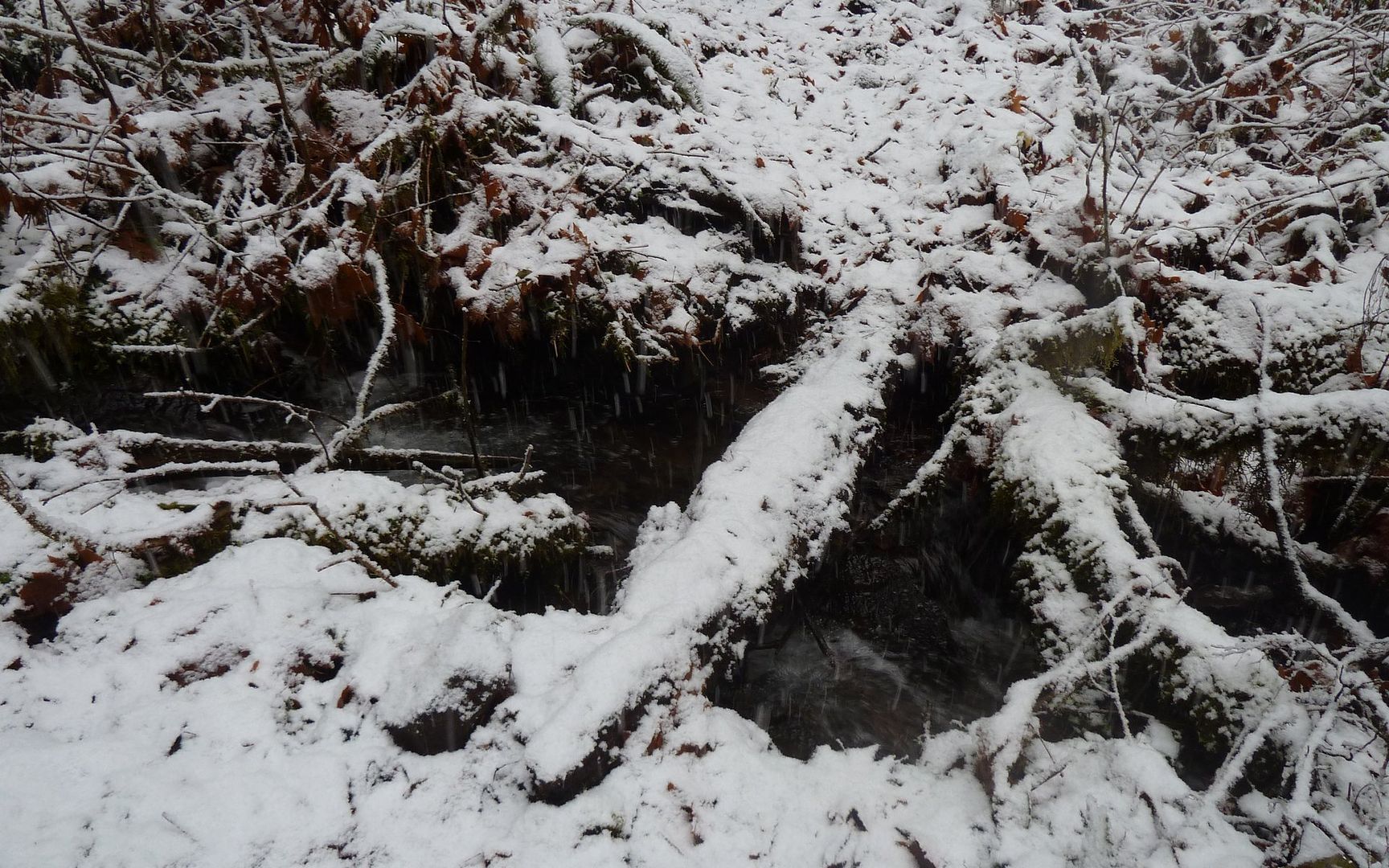
I wondered if the reason they called it Bell Creek Trail was this creek flowing down much of it?

The fungus things were fun to look at, though.

Clearings provided relief from overhangs and creeks, but the snow depth was now well up my shins.

It's not a cruel joke! There really is a Bell Creek!
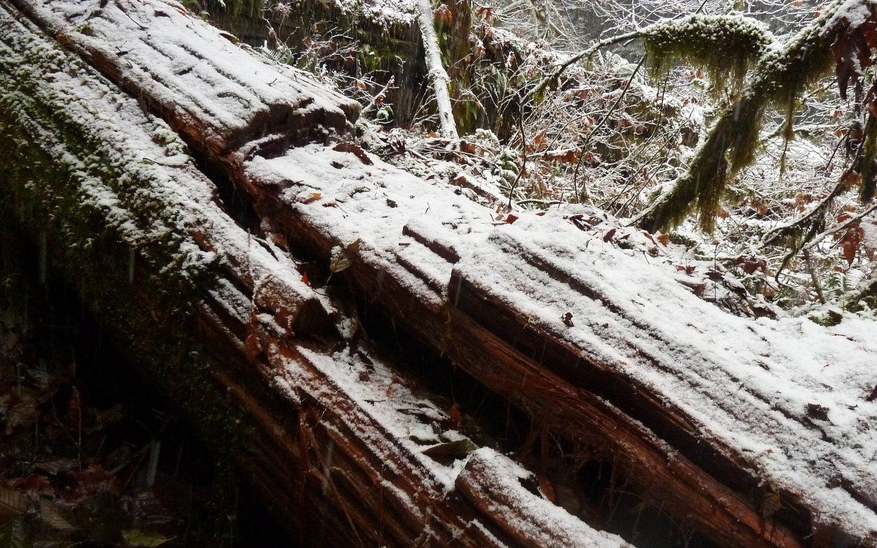
No way to know just how wide the log was. Which may have helped.
Along the way, there were many obstacles. As already mentioned, creeks free-flowing across the landscape were common. Trees sagging under great masses of snow blocked travel almost continuously. At times I had to circle in growing radii as I tried to regain the trail. I'm confident I was the only human who'd been through here since the first snows. I would not recommend this trail in winter to anyone without extreme confidence in their route-finding abilities and strong GPS skills! And then, I hit the grand-daddy of all obstacles! (Which, actually, I appreciated at that moment, as I wasn't entirely sure I was still on the right track! This told me I was.)

No way under. No way directly over. No obvious way around. Hmmm...
I clawed uphill about 20', to stand atop something that gave me enough boost to crawl up onto the beast.
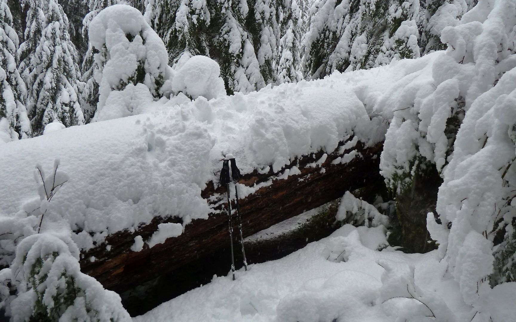
After walking back down it to the trail, I just slid off the other side. That thing needs to go!
Clearings were now offering snow to my knees or above.

Which made for an excellent workout! But also made my goal of 3.3 miles in 1.5 hours seem optimistic.

Two+ miles in, the forest was opening up a bit. Less low stuff, more snow up high. Progress improved.

Hit another bridge. Must be the headwaters of Oneonta Creek!
Deep as it is, this was really the easy part. When I was really working hard, I wasn't taking many photos.
Unbelievably, at 2:01 (check the timestamp!), I hit the junction and was back on the Oneonta Trail (#424) again.
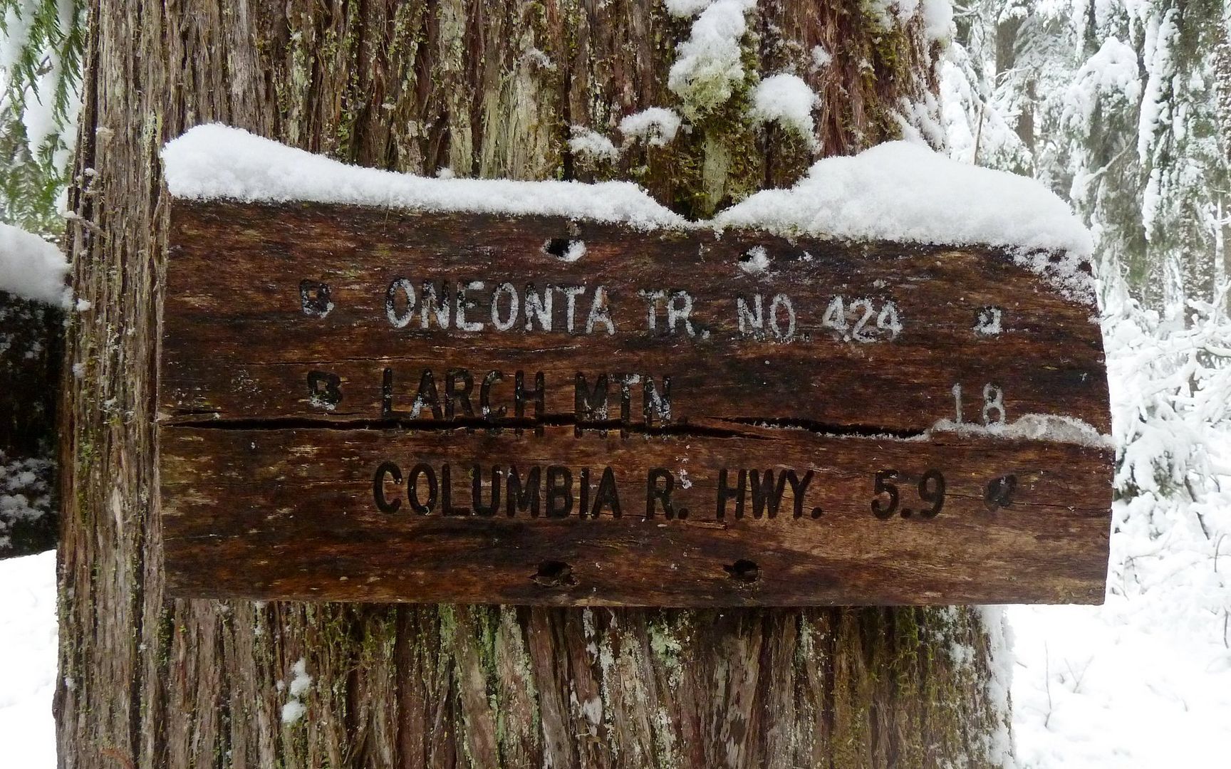
Only 1.8 miles to Larch? Gotta come back here in the summer, and extend the loop!
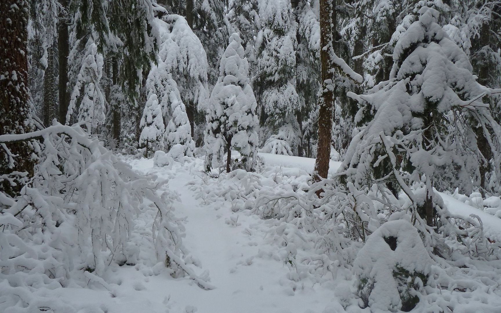
Oneonta Trail was far nicer to hike! I could actually envision skis or snowshoes being feasible here.
In under 30 minutes, I had passed the Franklin Ridge cutoff, and was on my way down into the Oneonta drainage again. It was at this point that I also encountered the first human footsteps I'd seen all day. Looked like two or three folks had come up Franklin Ridge and were on their way down the same direction as me.
A veritable blizzard set in by about 3:00.
The devil's club is fascinating no matter what time of year. I had to wade through that, or the creek, earlier.
About halfway down, I ran into a SAR group. They were on a training exercise, and pretty much had the perfect day for that! And, the biggest surprise was that one of them is a regular here. I won't steal the thunder (just started; not my news to share), and say who, but it was fun crossing paths out there! Wish I'd thought to take a picture at the moment, rather than 1/3 mile farther down the trail, darn it. Then, there was another SAR group about a mile farther down. These were the only other humans I'd seen all day, and given the time of day I was kind of glad to know they were behind me on the trail.
I decided to check out the other side of the ford, as I came down. It wasn't very nice at all. (Other than photogenically, at any rate.)
Oneonta Creek Ford site. Huh? What's the point of the bridge again?
A slip there would not bode well for the rest of the hike.
Infinitely better alternative to wading across that creek!
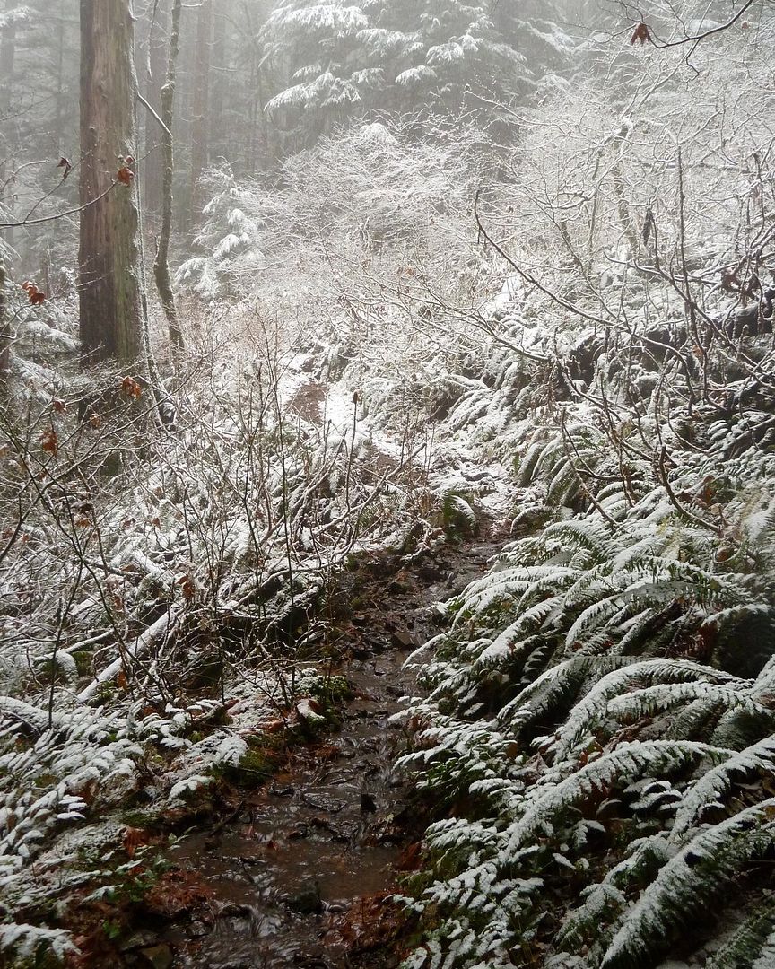
I really expected the snow to stop at some point, as I descended. It never did. Triple Falls was glorious!
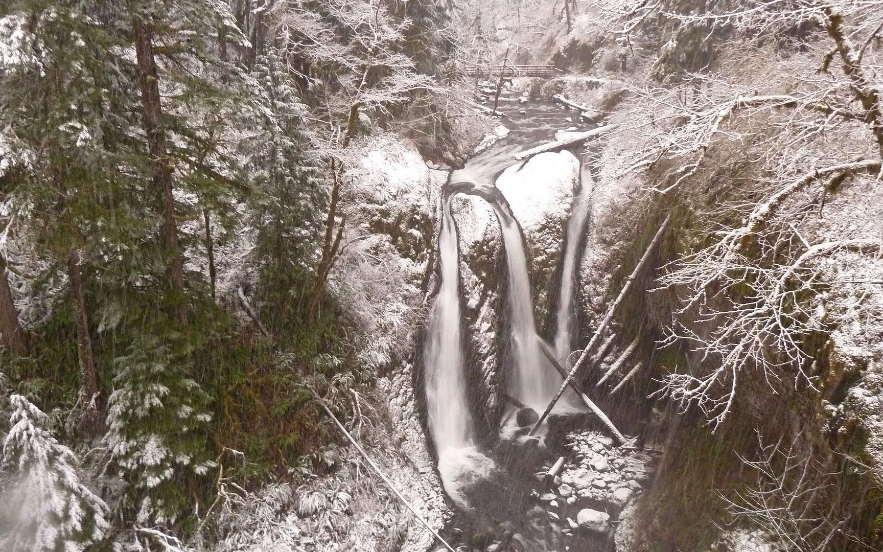
Triple Falls in a fresh coat of new snow, since I was last here six hours ago.
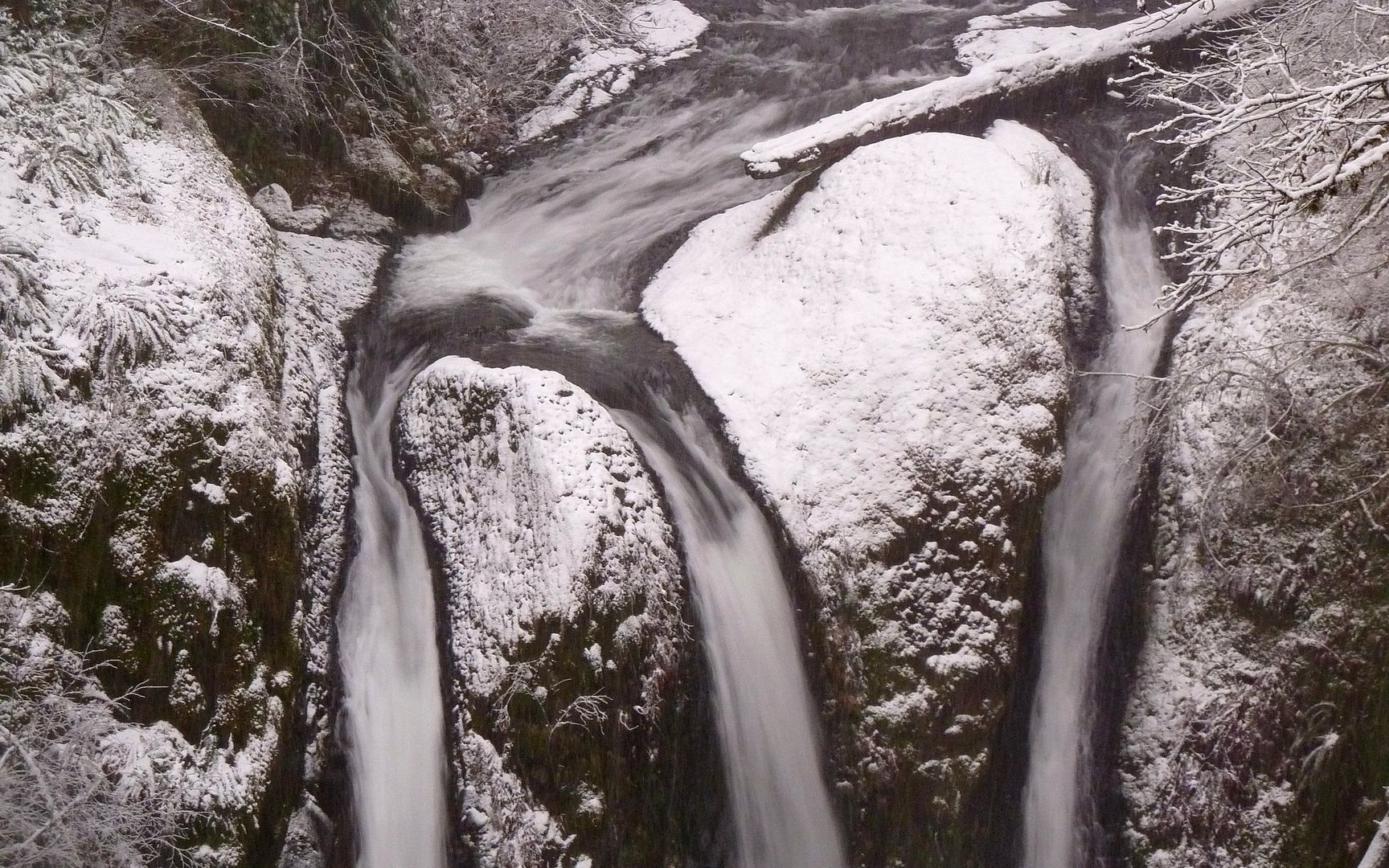
Close-up
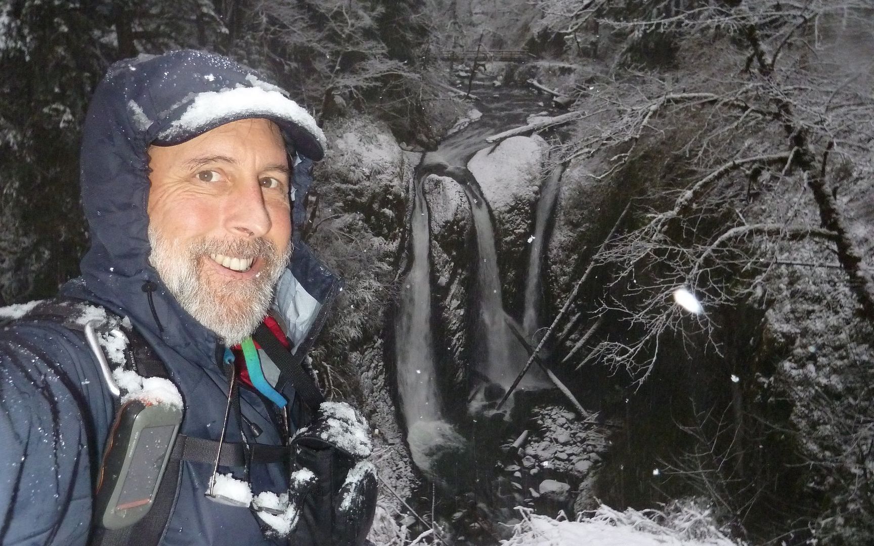
A rolling stone gathers no moss, but a Portland Hiker is another thing altogether!
I made it back to Horsetail Falls by 5:00, which was pretty dark. There was almost 2" of snow on the ground there. The drive home was slow, 35mph on I-84 for awhile, with the defroster not even coping with the raging dampness I had brought into the truck with me.
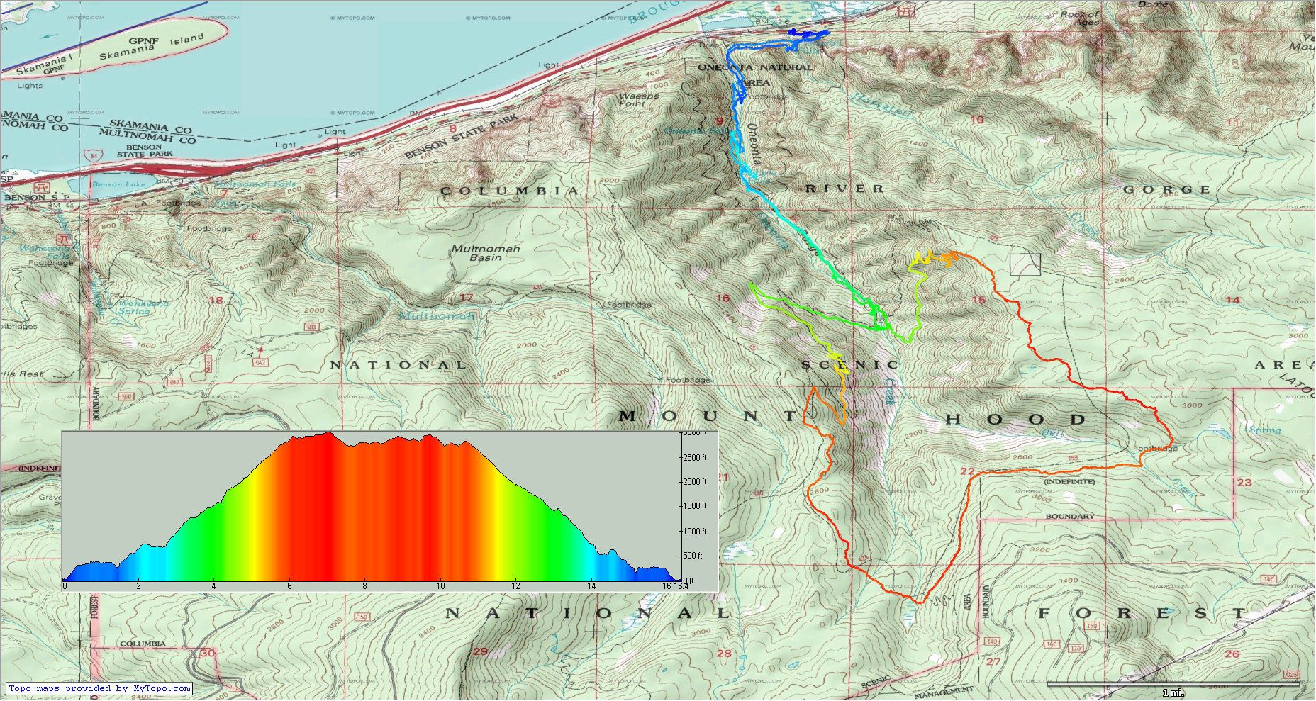
In the end, my Garmin said 19.9 miles on the Trip Computer, but the track seemed to measure out at about 16.5 or so. I'm becoming less and less comfortable quoting any numbers anymore, if they were collected in the gorge! That said, it was about 4500' EG, give or take a few.
http://gpsfly.org/gps_map.php?gps_id=2011&w=645&h=440
Another great day in the woods!


