I visited McNeil Point with a coworker the other day, and here are some photos.
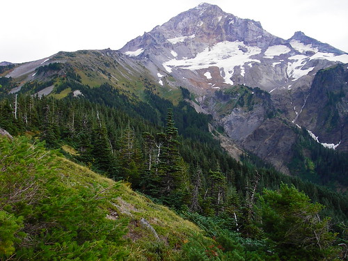
The view of Hood from Bald Mountain:
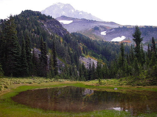
One of the several tiny lakes on the way up:
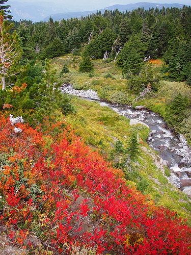
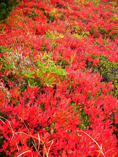
Most of the Huckleberries at this high altitude are turning bright red. Lower down, it was a feast of ripe fruit!
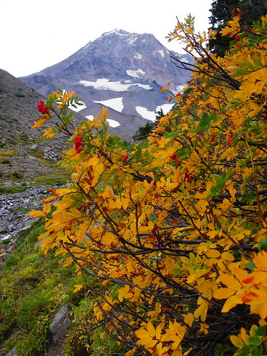
My hiking partner identified this as mountain ash, and wondered if we have that down South. Maybe my grandmother can tell me.
A luxurious bed of huckleberry, heather and lupine (maybe some juniper in there):
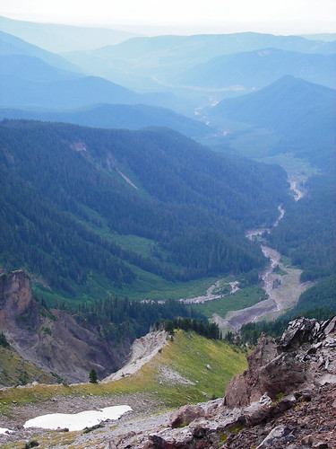
A view down into the Sandy River watershed. The canyon on the lower left is especially treacherous looking, and I wonder how many people have ever been down in there:
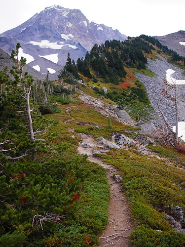
We worked our way up the ridge behind McNeil Point on the "new" rerouted trail:
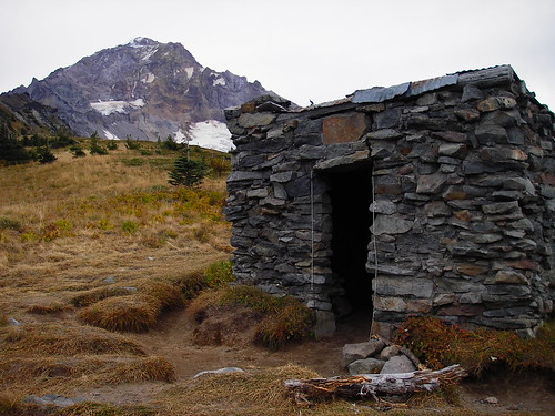
The 1930's CCC shelter at McNeil Point:
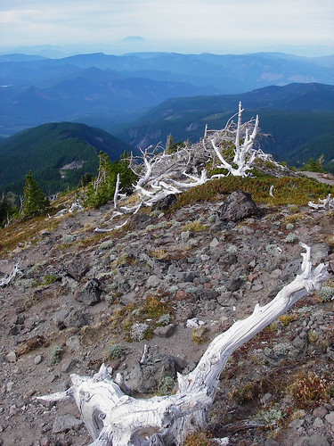
We walked up the ridge above the shelter. The sky was slightly clearing, and Mt. St. Helens came into view above krummholtz:
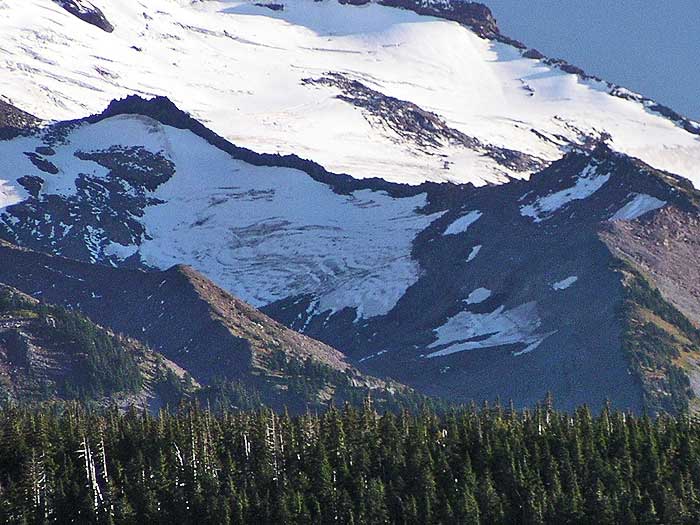
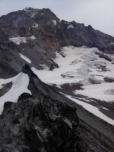
Up close, Hood shifted from being its normally graceful conical shape to an imposing, dark mass of rotten looking rock and blue tinted ice (the Sandy Glacier on the right):
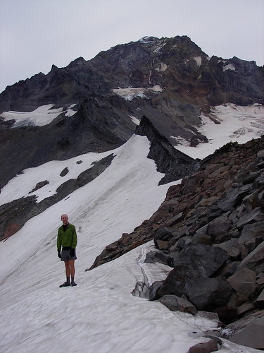
The high point for me (both literally and figuratively) was stepping onto the Glisan Glacier. Okay, my partner disagreed, thinking this might just be unmelted snow from the winter, but on my map, I saw Glisan Glacier, and was satisfied with that. It's my first time to stand on a glacier! (I've been underneath the Rhone Glacier in Switzerland, but not on top of any).
Thanks for reading, and I hope you enjoyed!
Charley