Multnomah Falls - Starvation Cr.(Hatfield Trail) 8/9 - 8/13
Posted: August 14th, 2011, 12:57 am
My girlfriend and I spent the last five days traversing some of the most amazing terrain the Hatfield Wilderness has to offer. With blue skies and my favorite trail buddy along for the ride, I was on cloud nine while we made our way from Multnomah Falls all the way to Starvation Creek State Park.
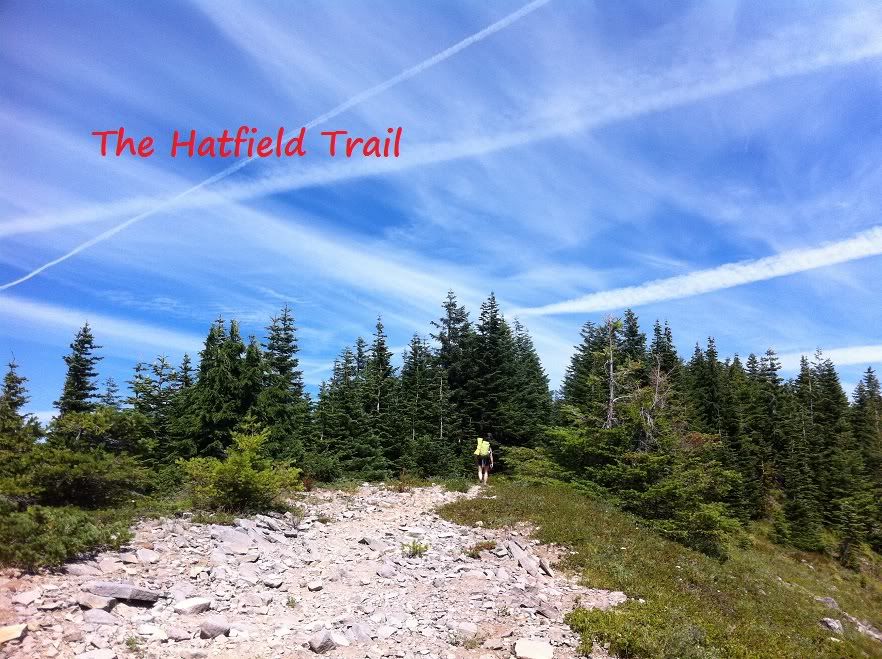
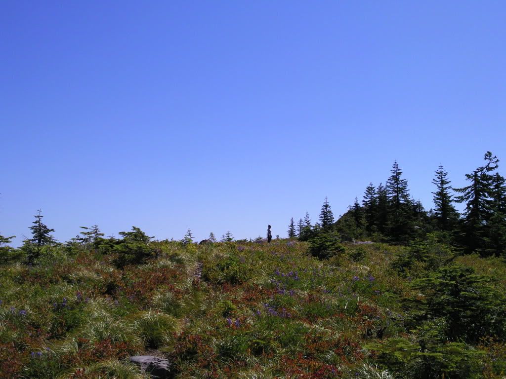
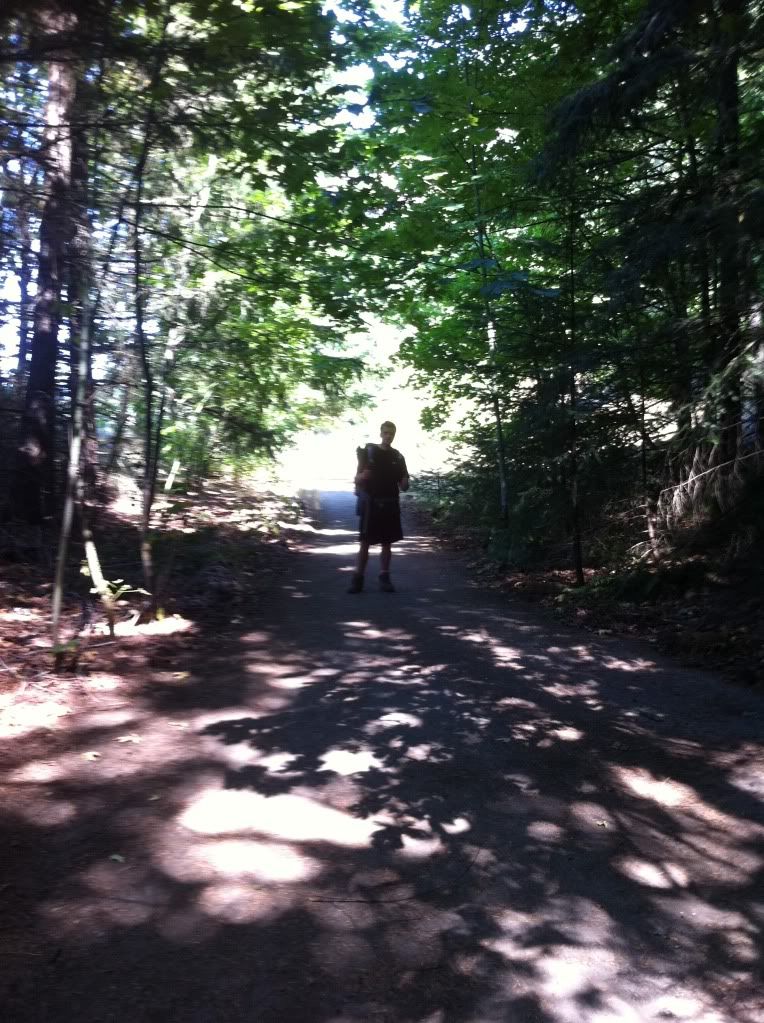
A hiker on the Hatfield Trail:
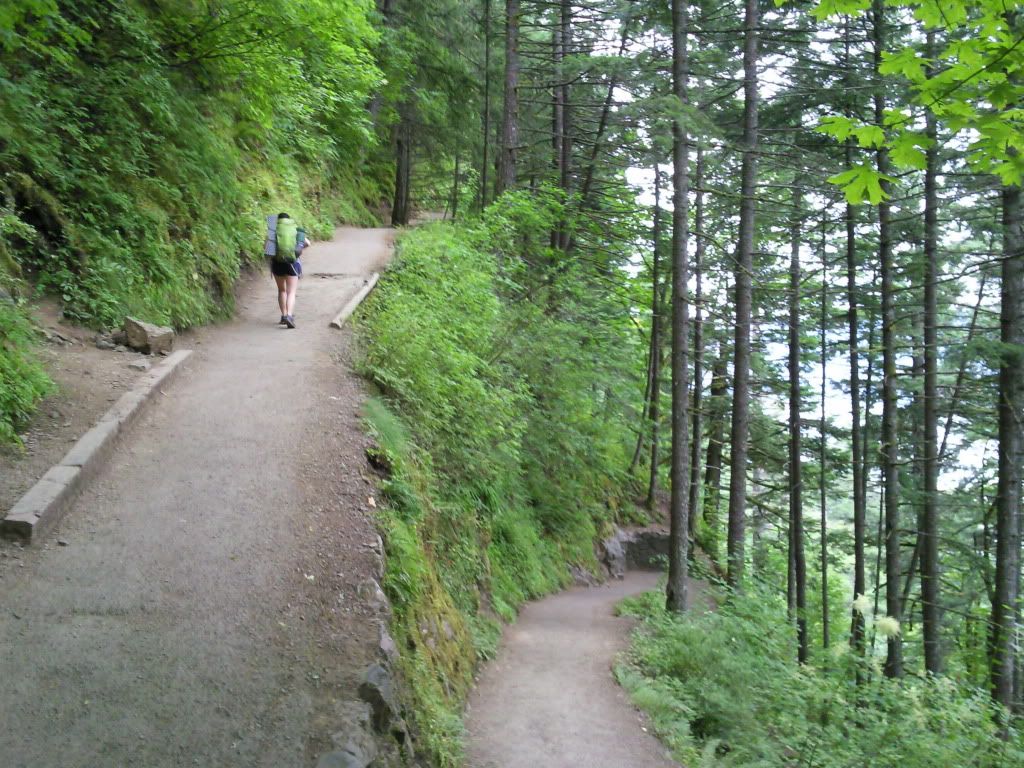
Joie making her way up the switchbacks to the top of Multnomah Falls:
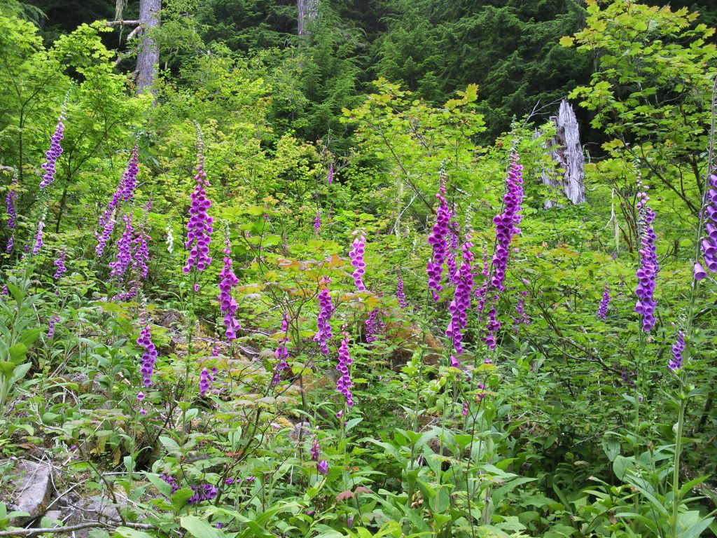
Going along Multnomah Creek the whole way eased the mind and offered me a section of trail I hadnt hiked before. Foxglove just off the Multnomah Trail:
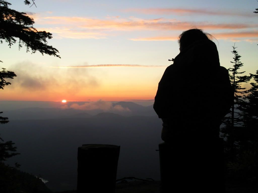
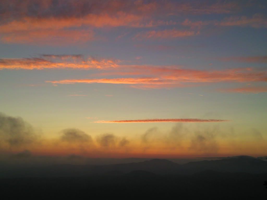
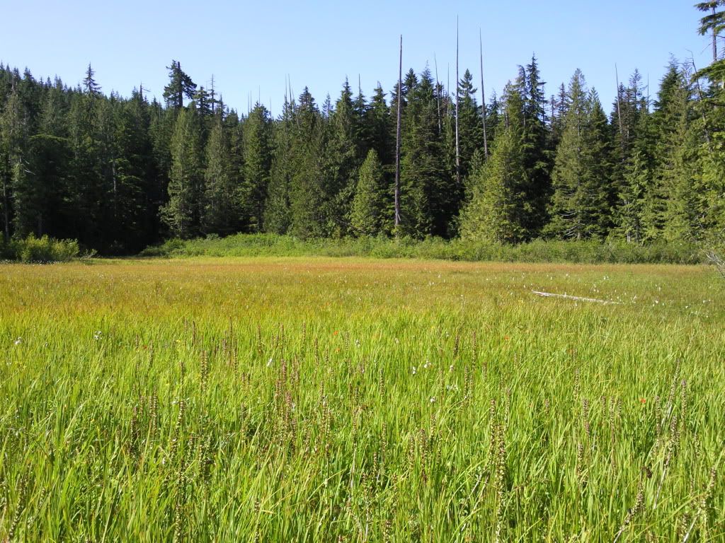
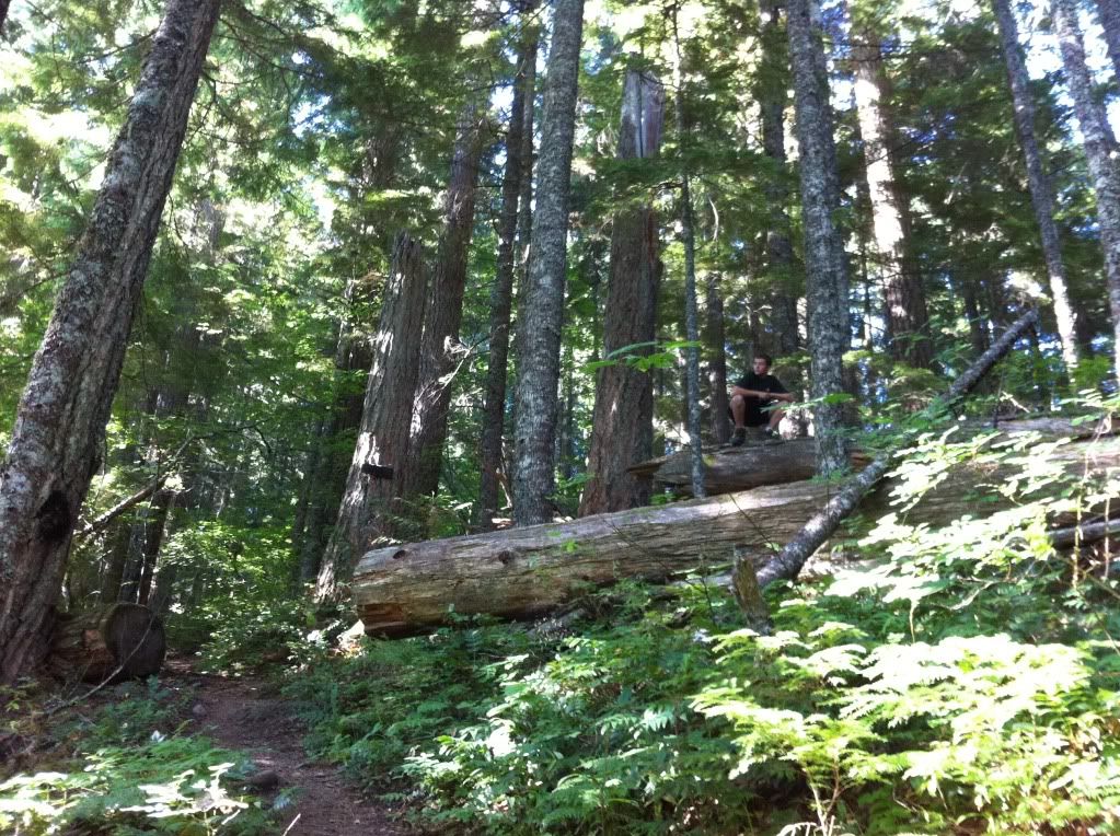
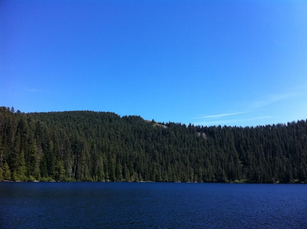
We continued along the upper reaches of the Oneonta Trail and fought our way to Bell Creek for a water refill. Then we stopped for lunch under some of the ancient giants of the Bell Creek Trail. After reaching Nesmith Point and having some dinner we watched the sun go down over the river:
Our second day was the most strenuous as we had to take the overgrown(and quickly vanishing) Moffet Creek and Tanner Creek Trails to the Tanner Cutoff Trail. Then, over the "trail from hell" up to Dublin Lake for the night. Many thanks goes to the ph guide members who messaged/posted about these trail sections. Adrian, Cascade Hiker, Chase, Joe Runner, Van Marmot, Splintercat and several others deserve special thanks for their ideas, inspiration and their knowledge and hard work surrounding these specific areas.
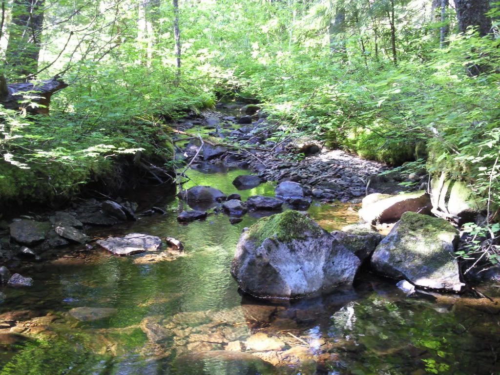
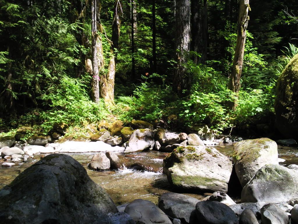
The crossing over McCord Creek was a great little spot for some breakfast. Moffett Creek was completely dry but McCord was still running strong:
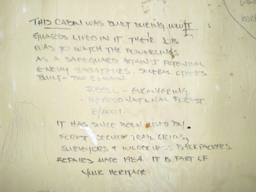
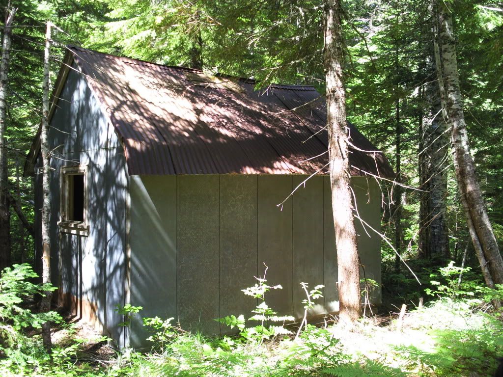
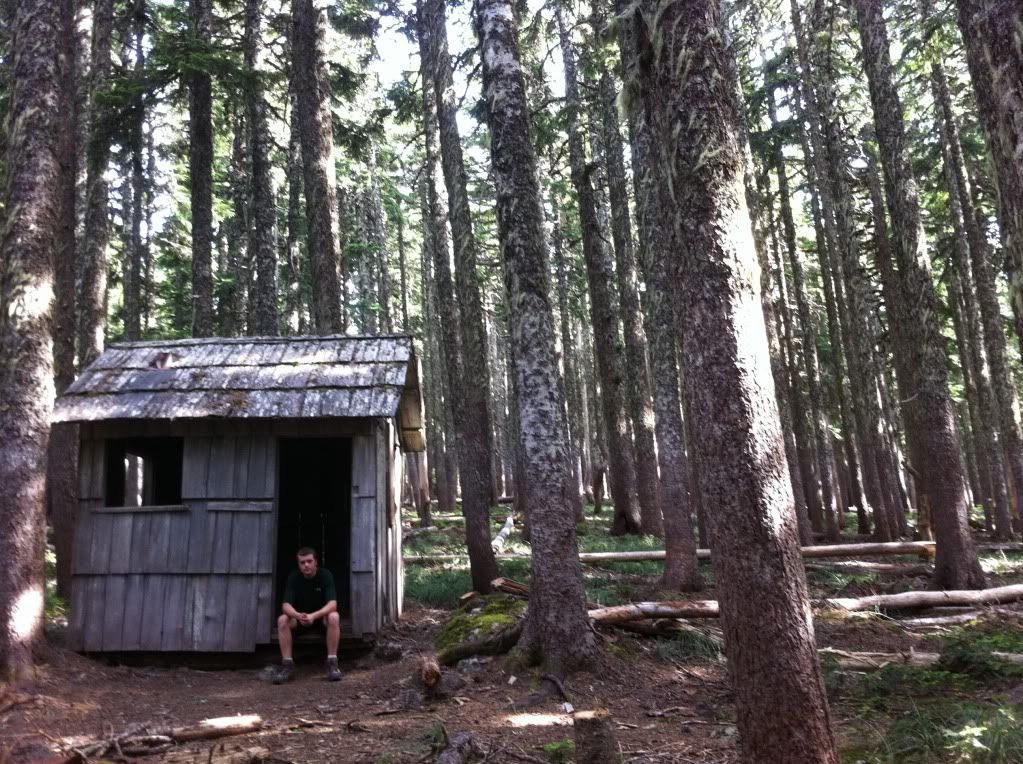
Near it's halfway point, the Moffett Creek Trail crosses old road #104 after it intersects the abandoned Wauneka Point Trail. Just a few hundred yards up the road to the north is an old WWI shelter that was built for gaurdsmen to stay in as they protected a set of powerlines from potential vandals:
Not too long after we passed the road there were a couple of nice areas with hidden camp spots. Here's a shot from one of the campsites just south of the trail:
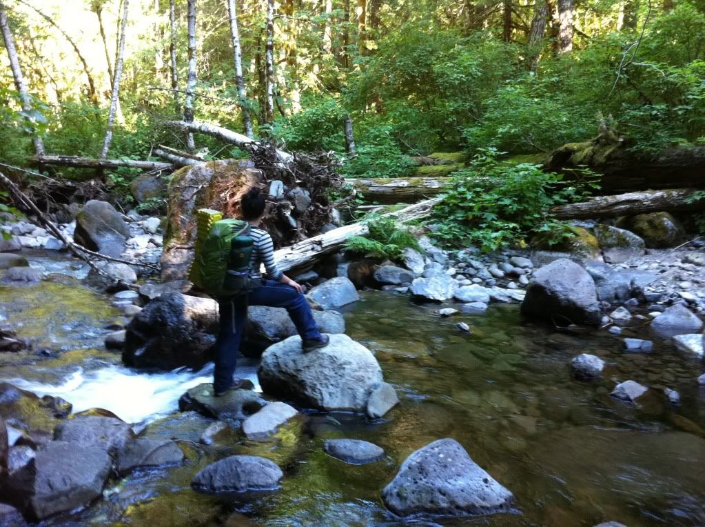
After descending down the more miserable and over grown section of the Moffet Trail we came to the Tanner Creek crossing:
The work/flagging from Adrian and friends made the Tanner Creek Trail feel like a well maintained avenue after the Moffet Trail. Going up the Tanner Cutoff was steep but not too bad until we bothered a nest of yellow jackets and each got stung three times a piece. Finally, we hit the top of the ridge and the Dublin Lake intersection. The lake before dusk:
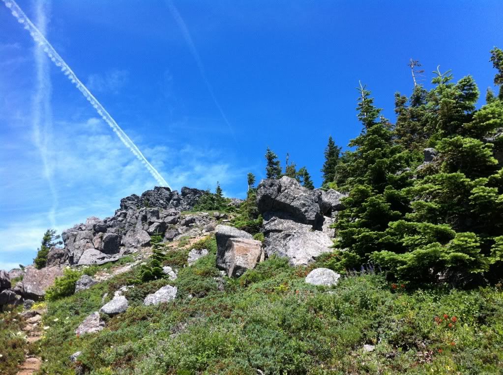
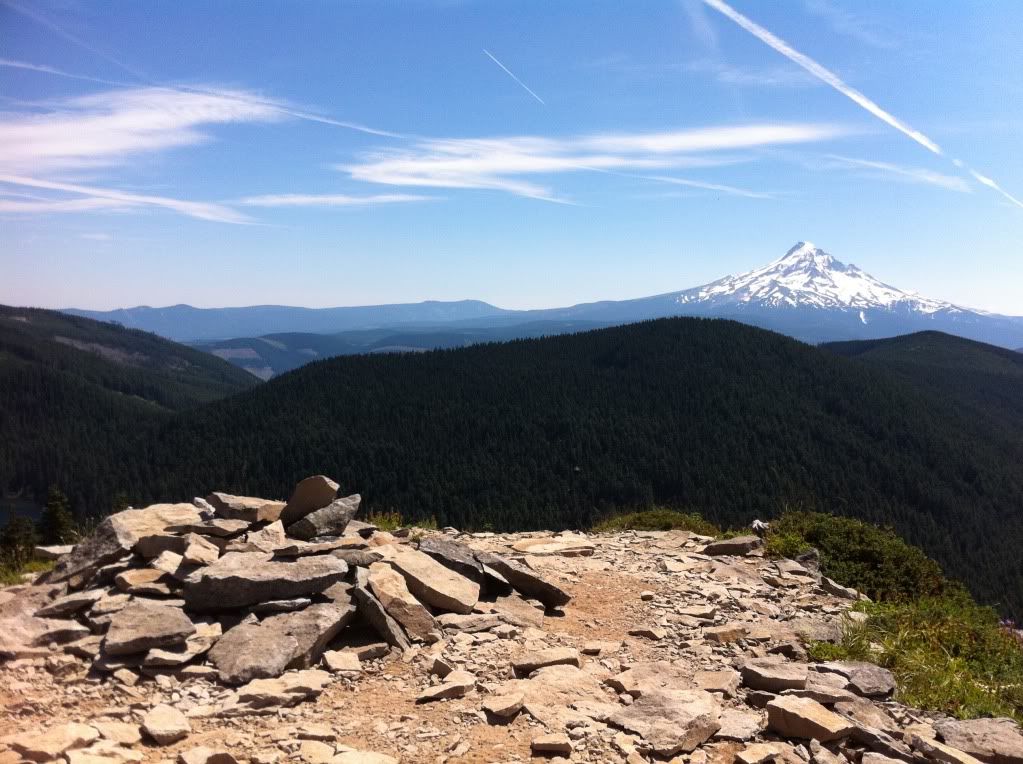
The next morning I was super excited for Tanner Butte and Big Cedar Springs. The views from Tanner were better than I could have imagined and the summit was a great lunch spot. Jo next to the summit pile:
The little known Tanner Lake:
The eagle-tanner trail was overgrown but not hard to follow down to eagle creek with a few glances at my map. When we came to Tanner Springs, a man camping there was extra helpful as he led us to the springs. Thrush Pond was pretty but my favorite part of the whole day was the giant Western Red Cedars at the Big Cedar Springs Camp. After resting under the giants, we headed down and crossed over Eagle Creek into familiar territory:
We spent our third night about 5 miles from Wahtum Lake just off the Eagle Creek Trail. The next morning we passed some trail workers near our camp and headed up to the lake. Here's me above the Indian Springs intersection:
Once we reached the lake, a huge wave of confidence boosted us up the north bound pct-cutoff to the base of Chinidere. Wahtum looking good:
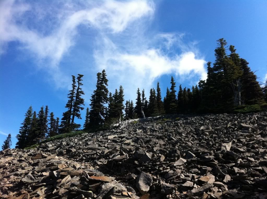
On my way up Chinidere I stepped off the trail for this shot of the summit:
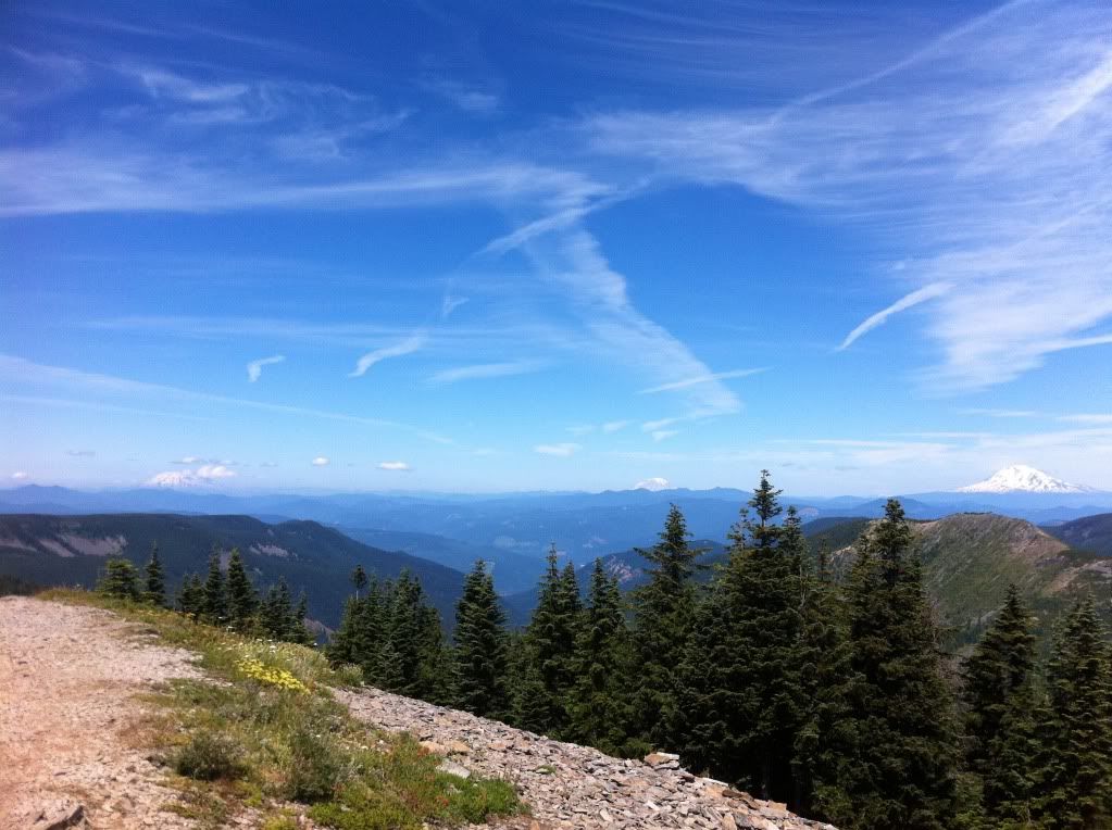
and views from the top:
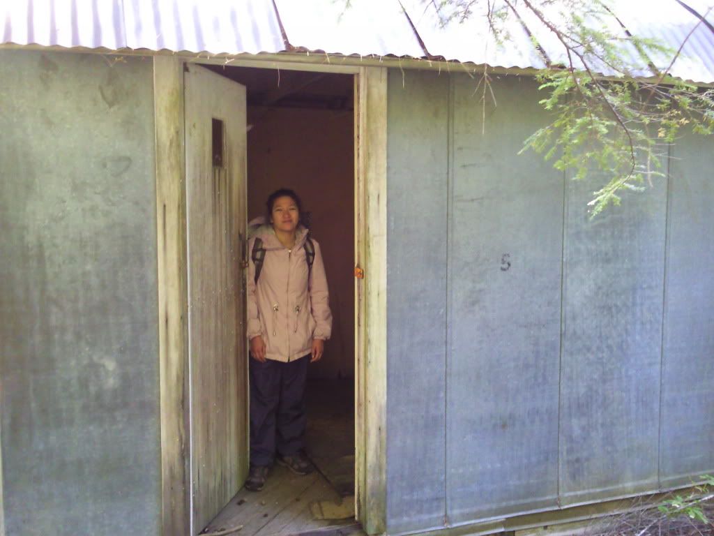
Coming down off Chinidere we cut over to the Anthill Trail that runs above Mud Lake. I really enjoyed this section of the trail and couldnt wait until we made it to the old WWII balloon house at the top of the Herman Creek Cutoff Trail:
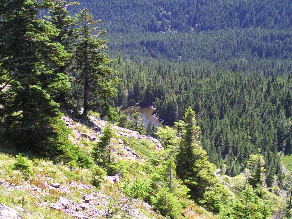
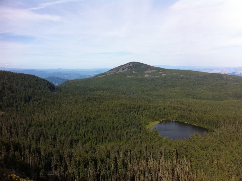
We checked out the old structure for a bit and then headed onto to Green Point Mountain. Where we got a look at Rainy Lake and Mt Defiance:
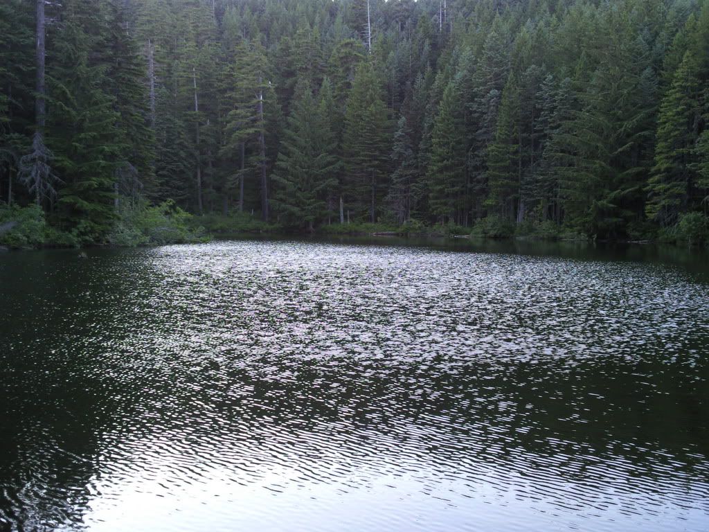
After Green Point we continued on to North Lake for our last night of the trip. Waking up early at the lake with the craw daddies:

For our last day we summited Mt Defiance from the southwest and planned to head down Starvation Creek to finish the journey. Heading up the backside of Defiance:
We got seperated briefly at the summit when we had a miscommunication about where to have lunch. She knew to go down Starvation, so I assumed she raced ahead of me. I ran down to Warren Lake where a man and nice couple told me they hadnt seen anyone on starvation all day. Then, I knew I had made a foolish and amateurish mistake so I ran all the way back to the summit where she was waiting for me.
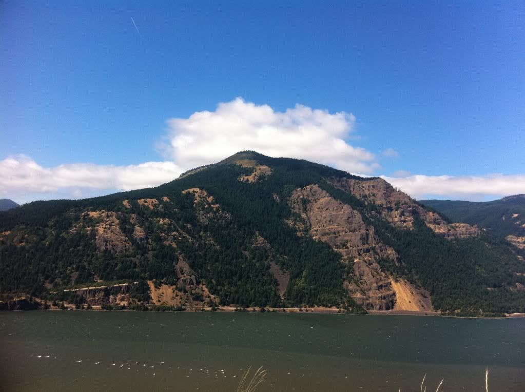
Back on track, we dropped down the steep Starvation Trail to the powerlines for a great view of Dog Mountain across the river:
A tired but happy Thum at the end of the Hatfield Trail along gorge trail 400:
Joie totaled about 67 miles for the trip and I logged 76 over the last five days. I think the trip could be done in 60 miles but it wouldnt allow for many side trips.
A hiker on the Hatfield Trail:
Joie making her way up the switchbacks to the top of Multnomah Falls:
Going along Multnomah Creek the whole way eased the mind and offered me a section of trail I hadnt hiked before. Foxglove just off the Multnomah Trail:
We continued along the upper reaches of the Oneonta Trail and fought our way to Bell Creek for a water refill. Then we stopped for lunch under some of the ancient giants of the Bell Creek Trail. After reaching Nesmith Point and having some dinner we watched the sun go down over the river:
Our second day was the most strenuous as we had to take the overgrown(and quickly vanishing) Moffet Creek and Tanner Creek Trails to the Tanner Cutoff Trail. Then, over the "trail from hell" up to Dublin Lake for the night. Many thanks goes to the ph guide members who messaged/posted about these trail sections. Adrian, Cascade Hiker, Chase, Joe Runner, Van Marmot, Splintercat and several others deserve special thanks for their ideas, inspiration and their knowledge and hard work surrounding these specific areas.
The crossing over McCord Creek was a great little spot for some breakfast. Moffett Creek was completely dry but McCord was still running strong:
Near it's halfway point, the Moffett Creek Trail crosses old road #104 after it intersects the abandoned Wauneka Point Trail. Just a few hundred yards up the road to the north is an old WWI shelter that was built for gaurdsmen to stay in as they protected a set of powerlines from potential vandals:
Not too long after we passed the road there were a couple of nice areas with hidden camp spots. Here's a shot from one of the campsites just south of the trail:
After descending down the more miserable and over grown section of the Moffet Trail we came to the Tanner Creek crossing:
The work/flagging from Adrian and friends made the Tanner Creek Trail feel like a well maintained avenue after the Moffet Trail. Going up the Tanner Cutoff was steep but not too bad until we bothered a nest of yellow jackets and each got stung three times a piece. Finally, we hit the top of the ridge and the Dublin Lake intersection. The lake before dusk:
The next morning I was super excited for Tanner Butte and Big Cedar Springs. The views from Tanner were better than I could have imagined and the summit was a great lunch spot. Jo next to the summit pile:
The little known Tanner Lake:
The eagle-tanner trail was overgrown but not hard to follow down to eagle creek with a few glances at my map. When we came to Tanner Springs, a man camping there was extra helpful as he led us to the springs. Thrush Pond was pretty but my favorite part of the whole day was the giant Western Red Cedars at the Big Cedar Springs Camp. After resting under the giants, we headed down and crossed over Eagle Creek into familiar territory:
We spent our third night about 5 miles from Wahtum Lake just off the Eagle Creek Trail. The next morning we passed some trail workers near our camp and headed up to the lake. Here's me above the Indian Springs intersection:
Once we reached the lake, a huge wave of confidence boosted us up the north bound pct-cutoff to the base of Chinidere. Wahtum looking good:
On my way up Chinidere I stepped off the trail for this shot of the summit:
and views from the top:
Coming down off Chinidere we cut over to the Anthill Trail that runs above Mud Lake. I really enjoyed this section of the trail and couldnt wait until we made it to the old WWII balloon house at the top of the Herman Creek Cutoff Trail:
We checked out the old structure for a bit and then headed onto to Green Point Mountain. Where we got a look at Rainy Lake and Mt Defiance:
After Green Point we continued on to North Lake for our last night of the trip. Waking up early at the lake with the craw daddies:
For our last day we summited Mt Defiance from the southwest and planned to head down Starvation Creek to finish the journey. Heading up the backside of Defiance:
We got seperated briefly at the summit when we had a miscommunication about where to have lunch. She knew to go down Starvation, so I assumed she raced ahead of me. I ran down to Warren Lake where a man and nice couple told me they hadnt seen anyone on starvation all day. Then, I knew I had made a foolish and amateurish mistake so I ran all the way back to the summit where she was waiting for me.
Back on track, we dropped down the steep Starvation Trail to the powerlines for a great view of Dog Mountain across the river:
A tired but happy Thum at the end of the Hatfield Trail along gorge trail 400:
Joie totaled about 67 miles for the trip and I logged 76 over the last five days. I think the trip could be done in 60 miles but it wouldnt allow for many side trips.