
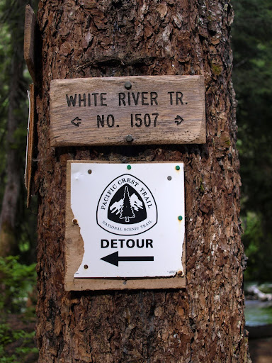
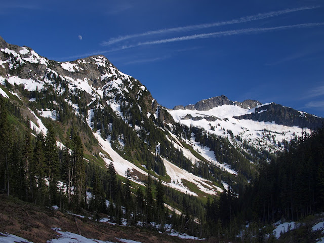
From here, the PCT used to continue N around the W side of Glacier Peak. But when it was heavily damaged by winter storms in 2003, it was re-routed E over Boulder Pass. The trail up to Boulder Basin climbs quickly up the canyon wall, occasionally giving you a bird’s eye view of the river ever farther below. Maybe it was all those REI catalogs I poured over in my youth, but the view from a trail high of the side of a deep, forested river valley became my ideal of hiking & climbing in the NW. The trail was generally in good condition, with only a few minor blowdowns.
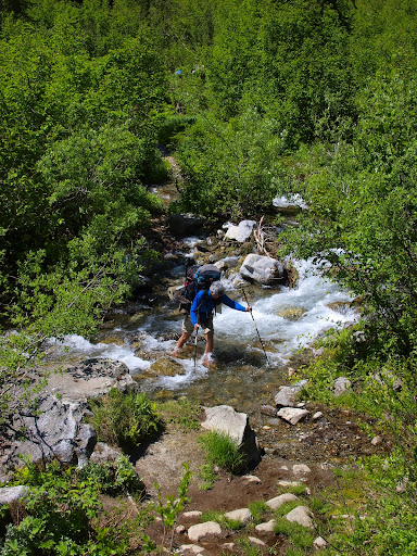
The big adventure was crossing Boulder Creek at about the 4000’ level – there’s no bridge to help you cross three braided channels up to 18” deep.
There were avalanche debris and snow patches across the trail past the creek crossing but the snow didn’t become continuous until around 5000’. We were able to camp on open ground at 4600’,
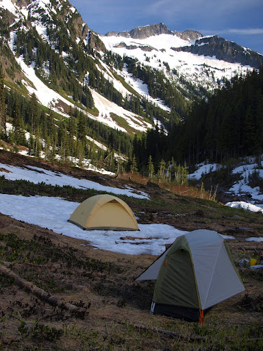
with a nice view of moonrise later that evening - with NO mosquitoes to bother us. Boulder Pass itself was still largely covered in steep, firm snow - some of the switchbacks have melted out, but you'd have to cross steep snow to reach them. Not the best year to be a PCT thru-hiker.
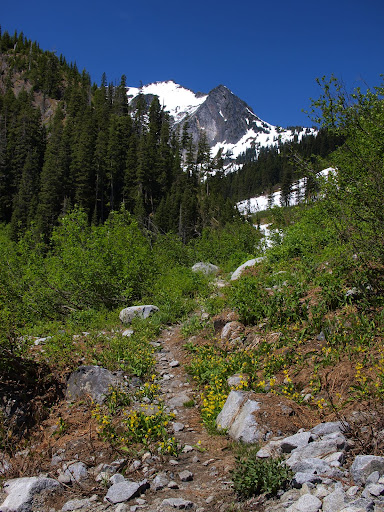
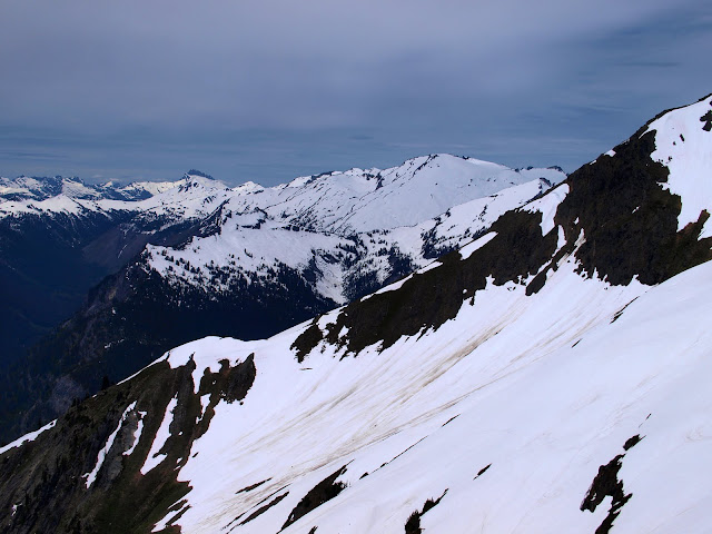
The next day we hiked up out of the valley to a ridge top to get a view of Rainier in the distance,
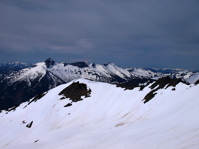
and the mass of Glacier Peak right in front of us.
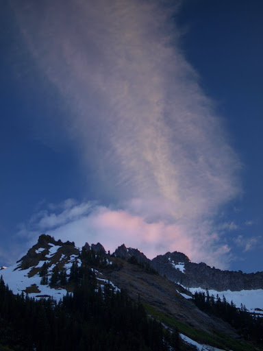
After sunrise on the third day,
we hiked out and headed back to Portland. All told, about 20 mi RT, 4000’ gain. Good weather every day, no mosquitoes in camp, and some spectacular views. Only downside is the 9 hr RT drive from Portland

