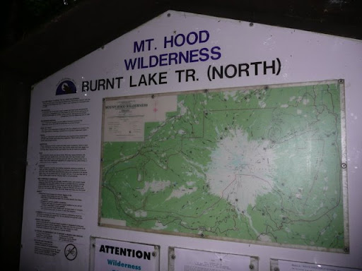
Last Saturday on Sept. 6th I hiked a 19 mile loop around the Zigzag Mountain area. I started from the Lost Creek trail for the Burnt Lake Trail (North). I went to Burnt Lake, East ZigZag Mtn., past Cast Lake, over to the West ZigZag lookout site, down to Devil's Canyon, and back to Burnt Lake and out to the parking lots.
I carried a 20+ lb. day pack, started at 7:00am and exited just before 7:00pm. Kind of a slow pace but it was was only my third week of hiking this year and I am stopping a lot more to check waypoints and snap photos. I took too much food, especially energy bars. I got by on three slices of hearty homemade wheat bread with cheese slices, a large sliced apple, one packet of Carb Boom gel, and three baggies of Gatorade for mixing with one quart of water each. I carried an old PUR Hiker water filter and usually carried one liter of water at any time.
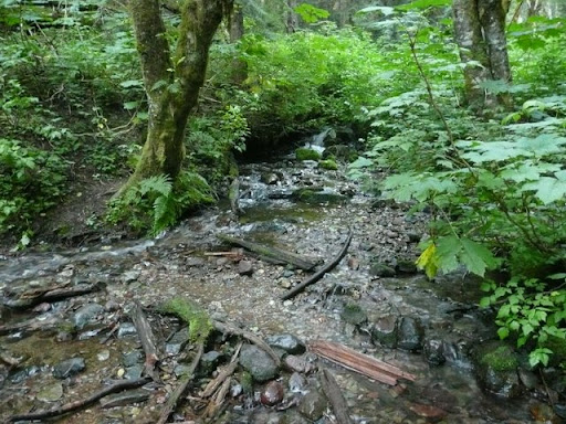
A guide book I read said there was a stream for getting water around the Cast Lake area, but I never saw anything of the sort. I had planned to tank up and carry 2 liters from there until I got down past the lookout and near Devil's Canyon. So I was bummed and thirsty. But I was surprised to find a nice little drinking stream about a mile from the lookout.
View all photos from my ZigZag hike.
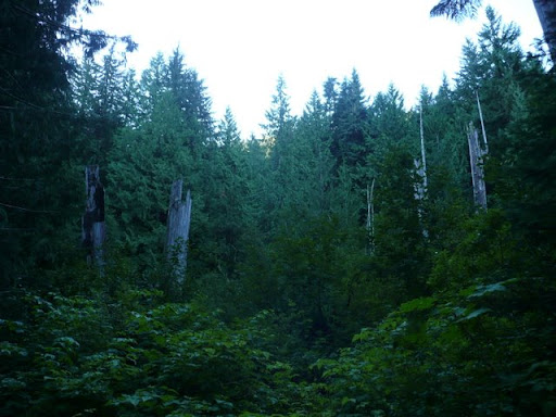
The first section is about 4.6 miles from the trail head to the Junction with the south side of Burnt Lake trail high on a ridge neat East ZigZag Mtn, and then on to the summit of East ZigZag with views of all the mountains.
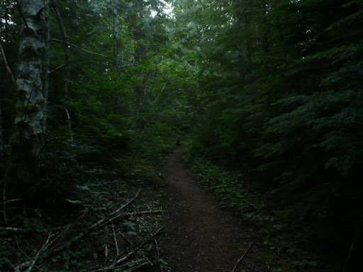
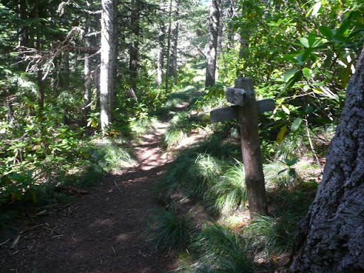
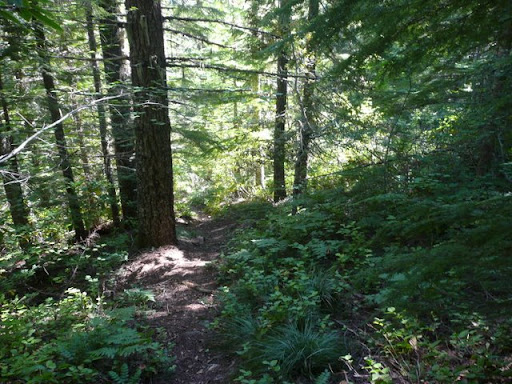
The Burnt Lake (North) trail was kind of dark at 7am
The namesakes of Burnt Creek and Lake, I presume
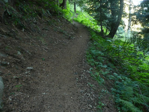
After a gentle incline the first mile, the trail starts a series of long, well graded switchbacks after crossing Burnt Creek.
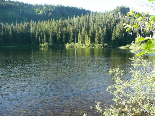
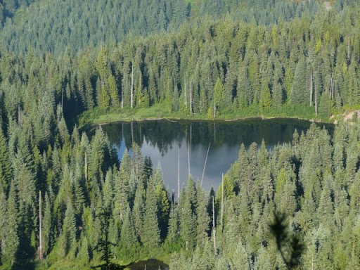
Burnt Lake
Trail does a more serious climb from Burnt Lake toward East ZigZag Mtn.
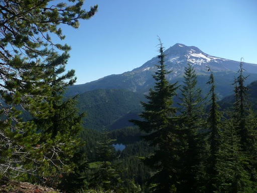
Mt Hood with Burnt Lake below
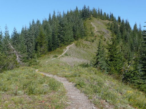
East ZigZag Mtn
Junction with trail to Devil's Canyon. Straight up hill to East ZigZag Mtn.
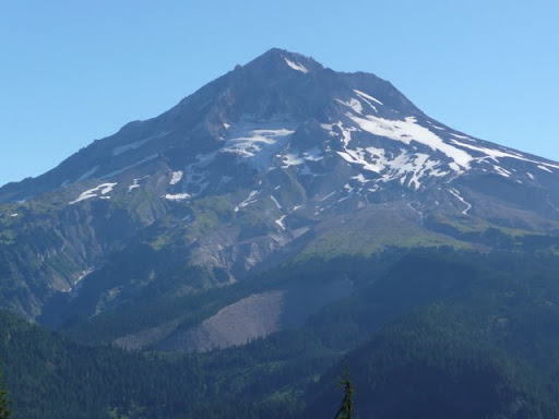
Mt Hood zoomed
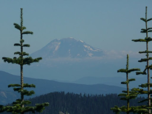
Mt Adams from East ZZ
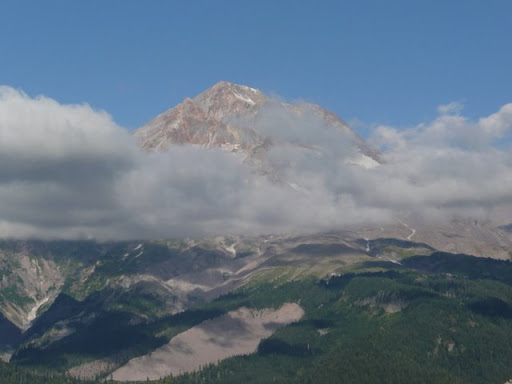
Mt Rainer from East ZZ
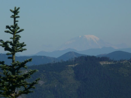
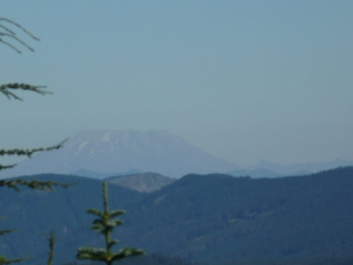
Mt St Helens from East ZZ
The next section of the hike is about 4.7 miles from East ZigZag, down past Cast Lake and over to the ZigZag Lookout site.
Junction of ZigZag Mtn trail (foreground and left) and the Cast Creek trail coming in from the right
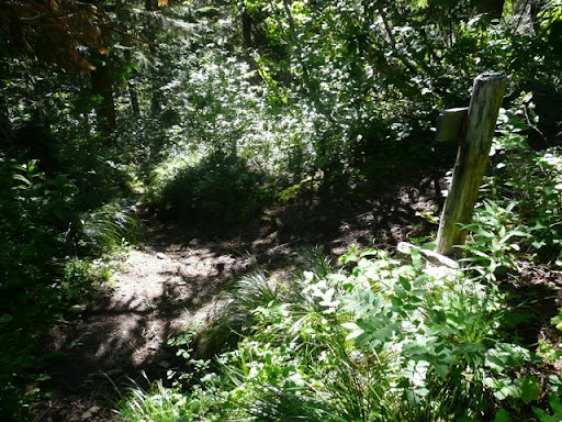
Past the Cast Lake side trail and at the junction with the trail going over to ZigZag lookout. The trail going straight ahead is the Devil's tie going down to the Burnt Lake (South) trail. No water in this area except for going to Cast Lake 0.6 miles down a side trail.
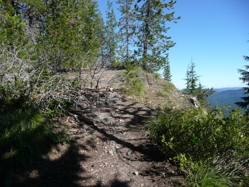
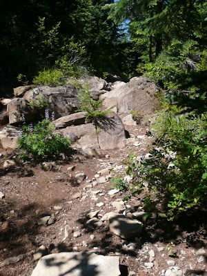
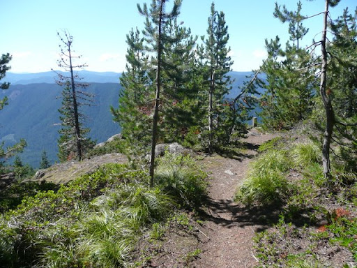
The trail is incredibly rocky and yet I saw lots of old horse manure on the trail. I cannot imagine how horses negotiate among the narrow trail and broken rocks. Heading up to what I call the "first high point" just SW of Cast Lake.
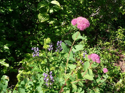
Lupine and some red flower I have never seen or noticed before.
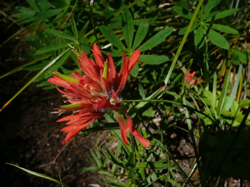
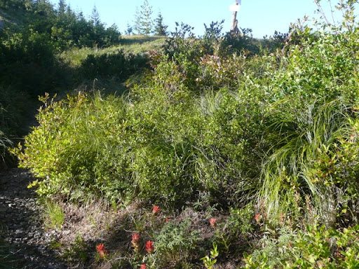
Indian paintbrush was abundant above 4500 ft.
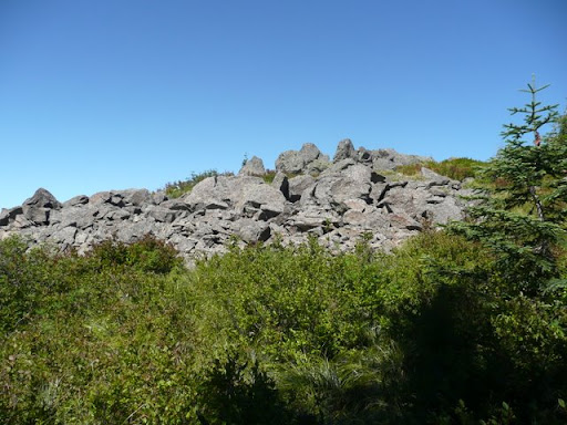
The third rock pile which is what I labeled the “second high point”. Just east of the intersection with the Horsehoe Ridge trail.
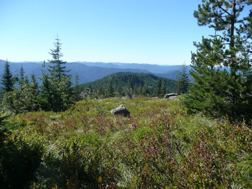
Nice alpine meadow looking south from the second high point.
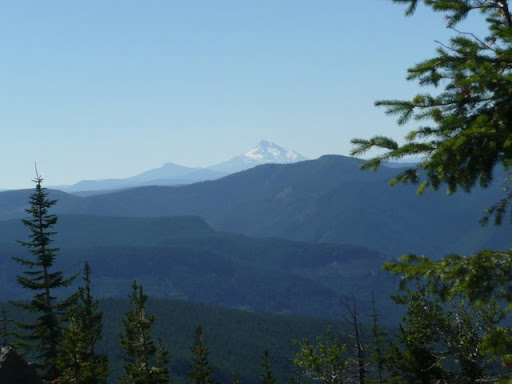
Looking south toward Mt. Jefferson.
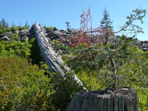
Beautiful weathered log amongst the piles of rocks and boulders.
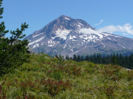
Classic Mt. Hood from an subalpine meadow.
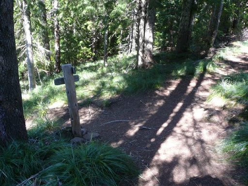
Junction of ZigZag Mtn trail with the Horseshoe Ridge trail (from the right). I keep going straight. About a half hour after this I came across a nice little stream for a water break.
Junction of trail going left to Devil's Canyon and to the right for ZigZag Lookout. It is an easy five minute walk to the lookout for lunch, and then come back this way and head for Devil's Canyon.
First glimpse of the old Zigzag lookout site.
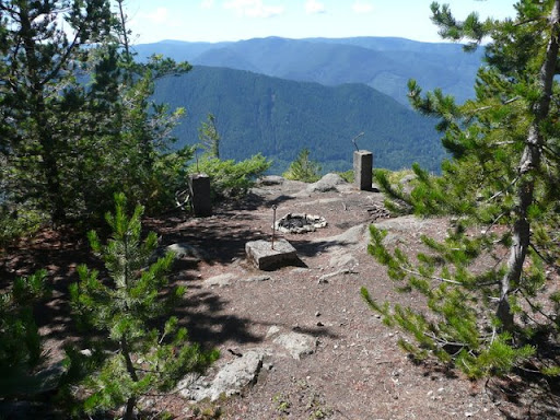
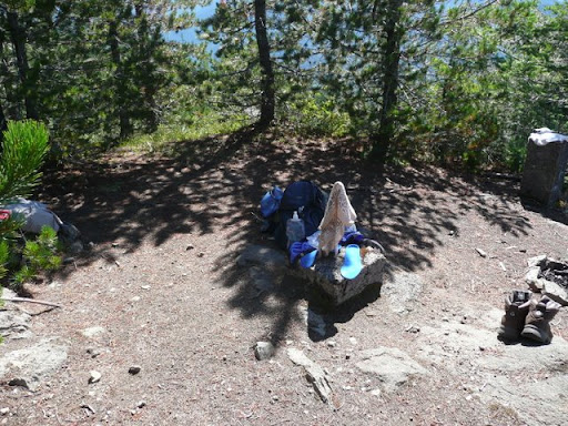
Just the concrete and steel supports remain of the lookout. Ironic that the only campfire cicle I saw on the whole hike now resides at the former site of a fire lookout. Just past the lookout site, across the valley is the beginning of Hunchback Mountain, from which I was rescued three weeks ago.
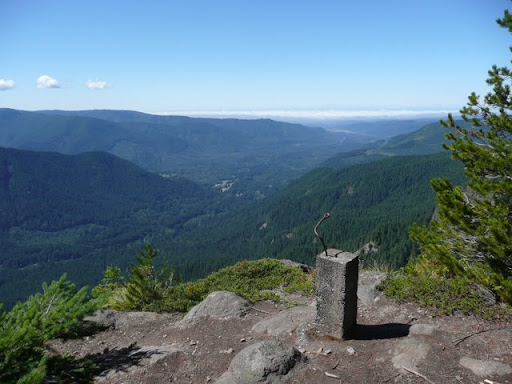
From the lookout, view to the west along highway 26 and the Clackamas River valley.
Drying out my sweaty socks, boots and gear while I enjoy a cheese and homemade bread sandwich, lots of water and some delicious Fuji apple slices. Perfect spot to have lunch about 1:30pm. A fantastic view, sun and shade and comfy rocks to relax upon.
The third section of the hike is about 10 miles from the lookout down to devil's Canyon, up the South Burnt Lake trail to the junction with the Zigzag trail on the high ridge viewpoint.
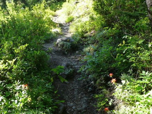
Trail going down to Devil's Canyon. Appears to be heavily used and a fairly gentle slope for the entire 2 miles.
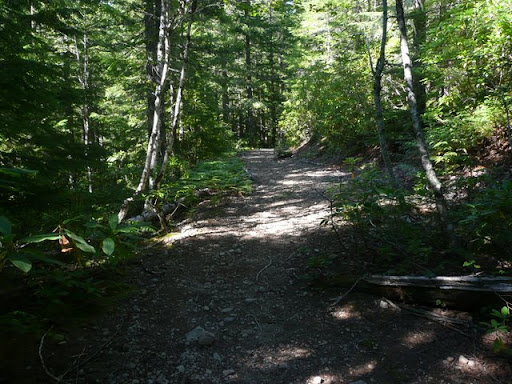
The old forest road now used as a trail coming up from Devil's Canyon campground and trailhead. Nice to stroll along on a wide, clear roadbed for a while.
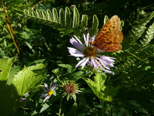
Light purple aster with butterfly.
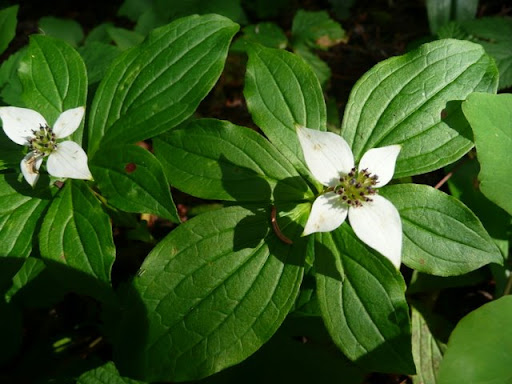
No idea what these flowers are named, but I liked them.
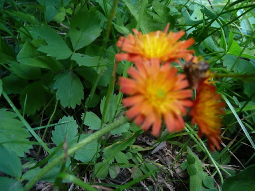
Out of focus but these little orange buttons of a flower were unusual and pretty.
Arrival at Devil's Meadow campground.
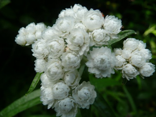
Some other white flowers I see at lower elevations.
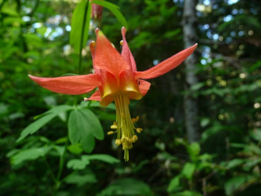
I can't remember the name of this red flower. Aweful pretty. Sylvia says it looks like a ballerina.
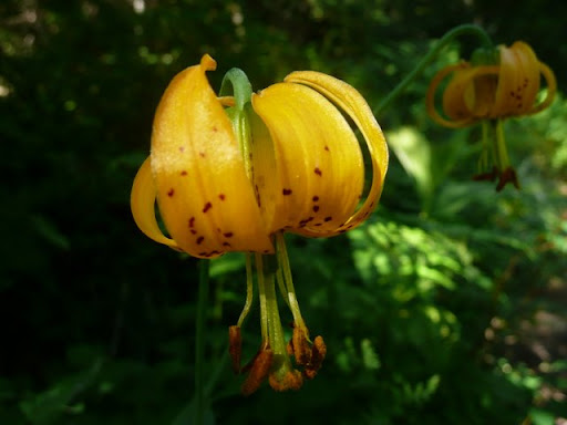
Cute little tiger lily.
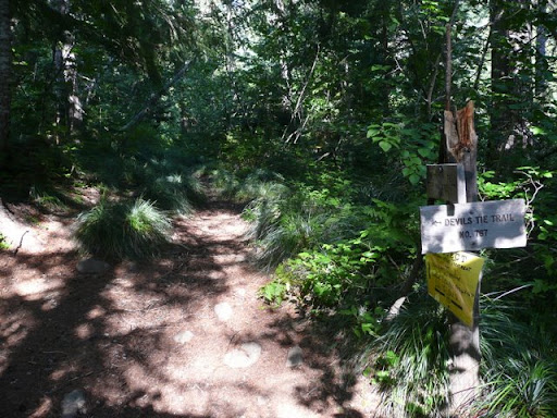
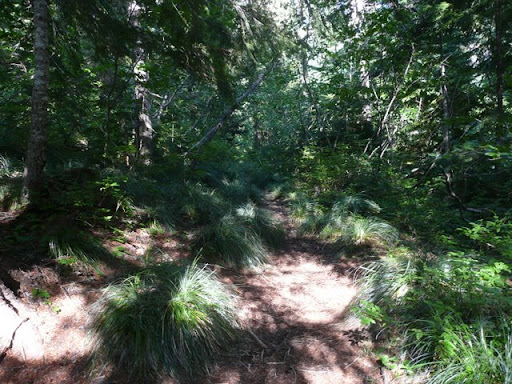
Junction of Burnt Lake trail I am on with the Devil's Tie trail that leads up to Cast Lake area (to the left). The trail will start to climb more now.
Now the Burnt Lake trail climbs more seriously toward the eventual ridge line, but the ridge kept seeming to pull away the more I climbed. It was about 4pm or later by this time and I am getting tuckered out. Time for a shot of Carb Boom and Gatorade.
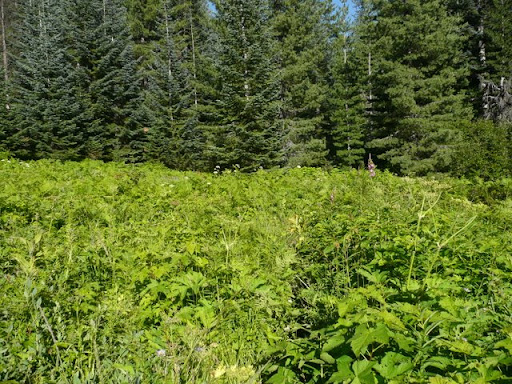
Where is the trail? It appears to be an avalanche meadow or something. the trailwas barely visible going from bottom center angle up and right to about one third of the way form the right middlegound into the trees.
Steep climbing and I am geting preety tired of this uphill stuff. Where in the heck is that ridge line. time for another Gatorade break. I have been sweating buckets. It is about 75F but there has been a lot of inclines today. This about mile 14.5 on my 19 mile loop.
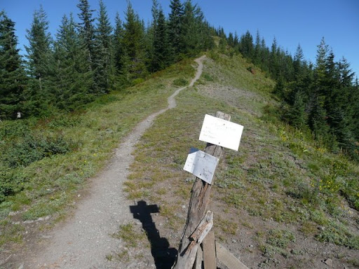
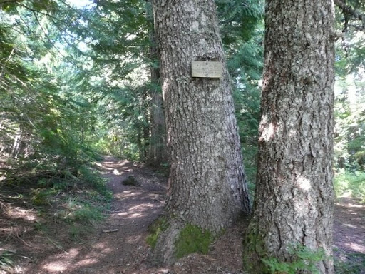
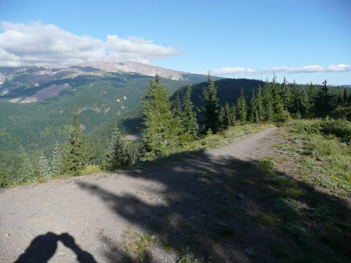
Approaching the top of the ridge and just gaining sight of the “temporary” sign again.
Homeward bound. 4.5 miles to go. It is about 5:30pm.
More of Mt. Hood showing through gathering clouds. What rugged rock!
Zoomed Burnt Lake from the ridgeline view point.
Down past Burnt Lake heading to the trail head. This is the major crossing of Burnt Creek. Below this the trail is a fairly gentle decline.
Back at the trailhead!