From the top, the view of Adams and Rainier today,
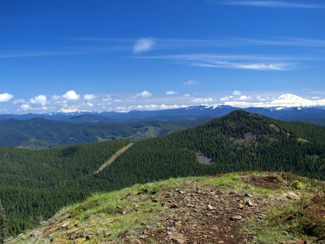
was quite a bit different than the “view” last Sunday.
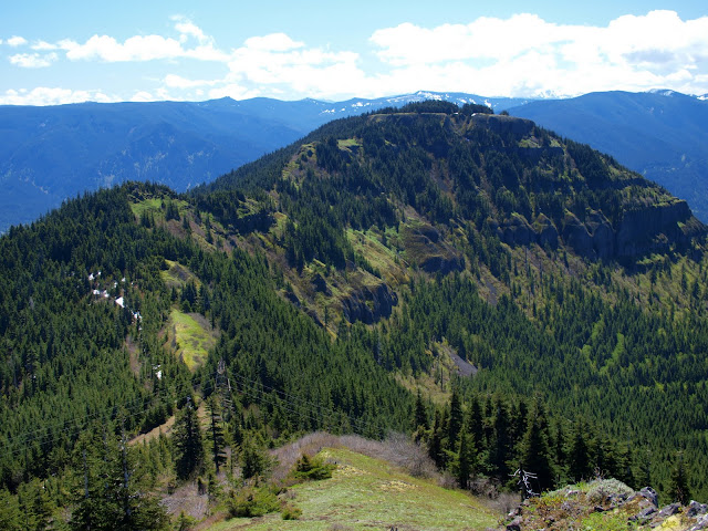
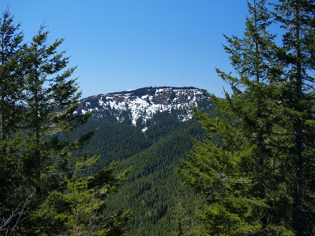
From Table I could see part of my route – down Table’s NW ridge, then up the ridge across South Birkenfeld to Birkenfeld Mtn (the one with snow) and then down Birkenfeld’s W ridge.

Later, from South Birkenfeld, I could look back for a complete view of Table and its NW ridge.
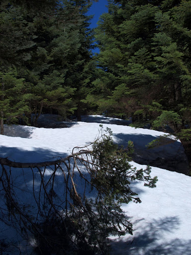
The snow on the road portion of the NW ridge route had managed to melt and consolidate a bit more since last Sunday, so walking it was no problem. I had my folding saw along this time and used it to remove a few of the smaller blowdowns from the “trail.” I passed this old snag near the top of South Birkenfeld,

before reaching the PCT just S of Birkenfeld Mtn.

I used a mixture of sometimes clear and sometimes faint game and use trails for most of this hike, including getting to the top of Birkenfeld Mtn. The only meaningful snow on this route was along the top of Birkenfeld,
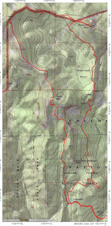
but it was well consolidated and actually made walking through the trees easier. From the summit, I had another great view of Hood,

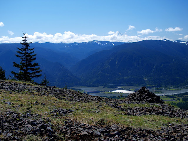
and of the ridge route down to Greenleaf Peak.
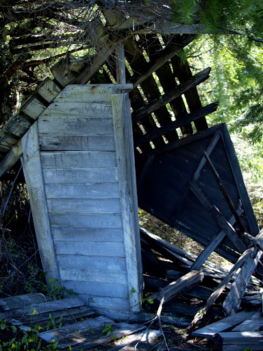
I followed the ridge down to where it intersected an old 4WD road, then followed that road W to a multi-way junction of 4WD and powerline service roads. Rather than continue on roads, I headed due SE along the ridge – a minor bushwhack – to where the powerlines cross the ridge. The use trail (or old trail to the now long-gone lookout) to Greenleaf starts from here. My reward for climbing Greenleaf was a view of an old shed near the top,
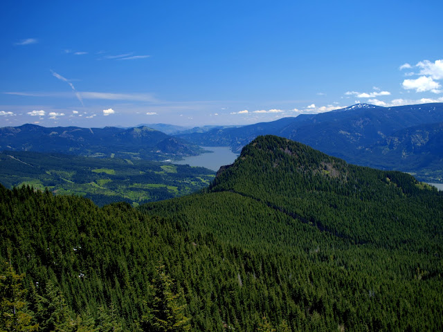
of Birkenfeld Mtn across the Basin,
and Adams to the N.

I then backtracked down Greenleaf to the powerlines, and followed their service road down to the SW to intersect with the old road that hugs the W side of the Basin. From here to the base of Greenleaf Falls proved to be the slowest part of this hike. The surface of the old road was a series of moguls that made walking hard and the further along it I went, the worse it got. Although it looked like someone (ATVs?) had tried to keep it open, it was now overgrown and sporting numerous blowdowns and rock falls.

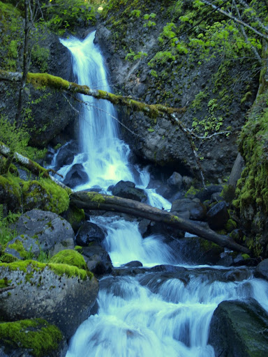
After about 1.5 mi of this, I struck off due S cross-country to a point on the W side of the upper part of Greenleaf Falls. From the old road to the Falls was the only serious bushwhack of this hike, but it was serious and therefore slow. Don’s maps of his many explorations in this area were invaluable in helping me find the right place to start descending the W side of the Falls. I was able to locate a faint trail down the W side of the Falls, a trail that got better the further down I went, but this descent is not for the faint of heart. There are more than a few spots where a slip or fall would have very (very) serious consequences.
From there I took the Two Chiefs trail/road back to Carpenters Lake, then the Dick Thomas (still muddy) back to the Hot Springs. Despite the bushwhacking, this was a very fun trip with great views, some good route finding challenges, and a big adrenaline rush at the end