Hamilton-Hardy: The Big Loop 30-Jan-2011
Posted: January 30th, 2011, 6:40 pm
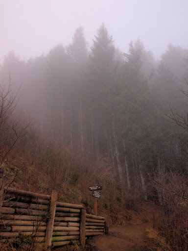
Last November I did a snowshoe hike of Hardy Ridge up to Phlox Point. On my way down, I passed 5 folks who said they were making a circuit around to Hamilton. Seemed ambitious given the snow conditions and the weather but it got me thinking about other hikes to do in the Hamilton-Hardy area. Then I saw one of Don’s maps with a track looping between Hamilton and Hardy to the N and I decided to give it a try. It could have been a nicer day (some promised “sun breaks” never materialized) but the cloud formations turned out to be pretty interesting in their own right. Since it was the weekend, I could drive to the upper parking lot. From there up to about 1500’, everything was enveloped in low clouds.
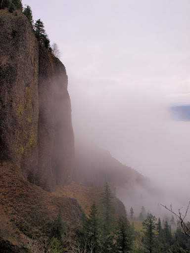
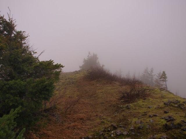
I climbed above the low clouds to find my favorite cliff enshrouded,
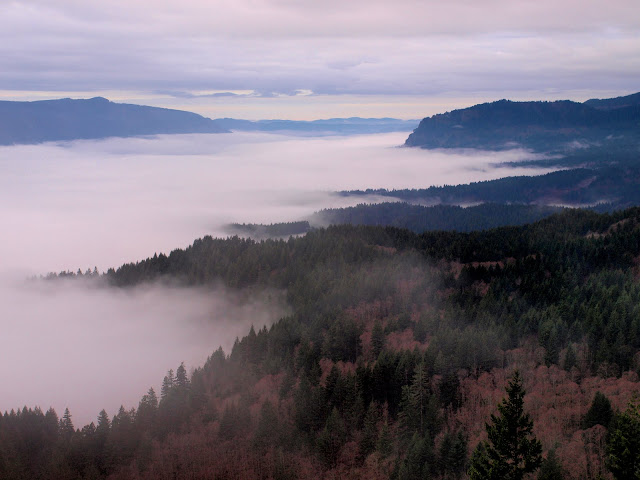
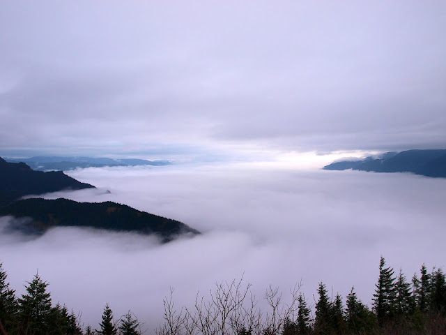
and the Gorge filled with clouds below 1500’ and capped with a cloud ceiling at about 3-4000’. I would spend the day sandwiched between these two weather phenomena.
From the top of Hamilton, I had a unique view of Table caught between the ceiling and the lower cloud deck,
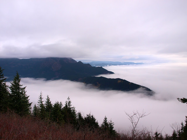
along with Aldrich Butte and Rabbit Ears floating in the cloud sea,
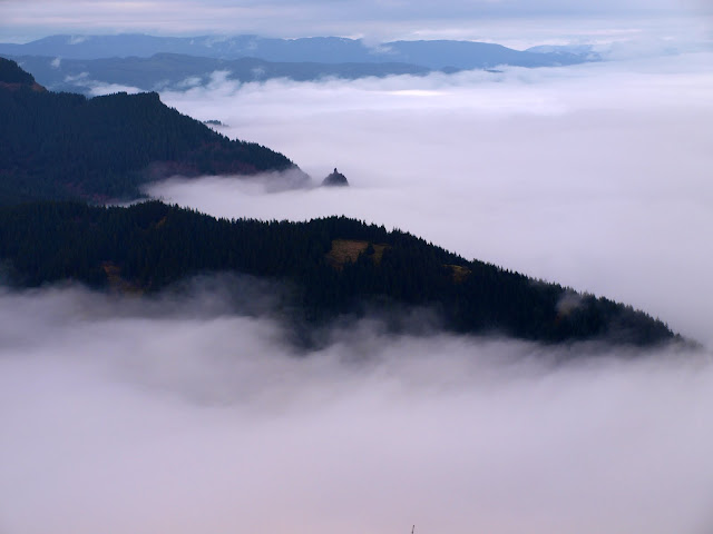
and the whole Gorge to the E filled with clouds.
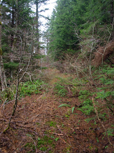
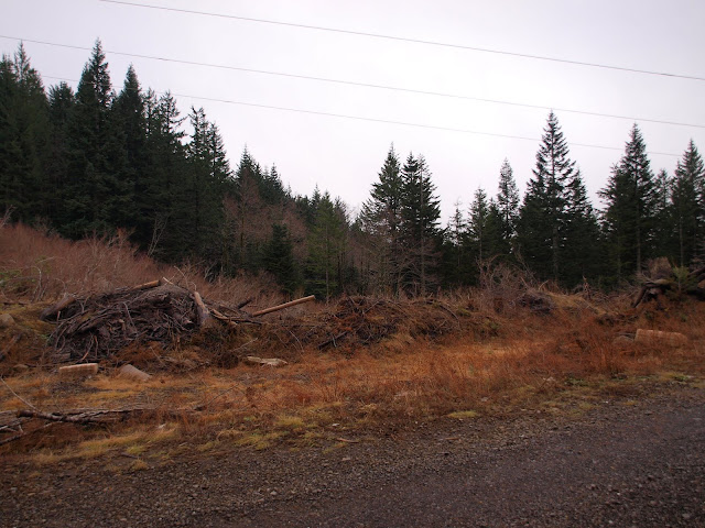
From Hamilton, I headed north to the 3-way road junction at the saddle and took the center road N. After about 1 mi, I came to an old 12” square post that marked a sharp turn in the road and kept heading N. Up to this point, I was on a nice dirt road. After the post, the road – although evident – had deteriorated into a wide trail. At this time of year there was minimal bushwhacking but in the summer there would be plenty more foliage to push through. I had my folding saw along and used it a few times on particularly irritating pieces of brush.
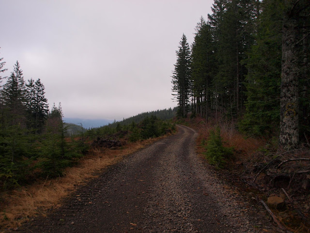
After another 1.25 mi or so, I came to a well maintained gravel road weaving E-W.
The trail from Hamilton emerged from the woods behind this berm and is essentially invisible from the road. Had I been making the loop counterclockwise, I would have had to use GPS coordinates to find it.
I took the gravel road W until just past where it makes a tight turn over the headwaters of Hardy Creek. Here the gravel road headed up and NW but my reckoning had me on an older road heading SSW. From here I could look back and see where the trail from Hamilton emerged onto the road – right at the snow patch below the tower.

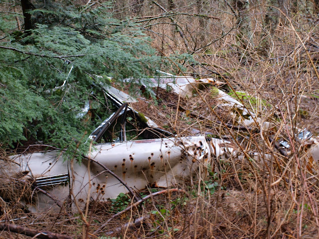
I followed the older road for about 0.5 mi, past a bullet-riddled car wreck,
just past which an even sketchier road headed due S (at 574921mE, 5059120mN). This “road” was questionable even as a 4wd relic but was great as a trail. I followed it for about 1 mi until I was just W of Phlox Point and then bushwhacked due E up the slope to the Point. Doing so took me back into the cloud ceiling, which was like walking through an aerosol spray. Sorry to say there was no view from Phlox this time.
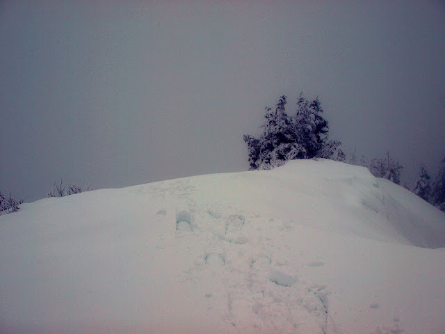
In fact it bore a striking resemblance to my experience last November – sans snow.
From the Point I took trails and roads back to the TH. Although I had seen a few folks when I started, I didn’t see anyone again until just before Rodney Falls. The parking lot was ¾ full so everyone must have been past me on their way to Hamilton(?). Roughly 12 mi and 3000’ gain – fun because it was something new and required a little routefinding. I’ll definitely do it again in better (warmer, drier) weather.