
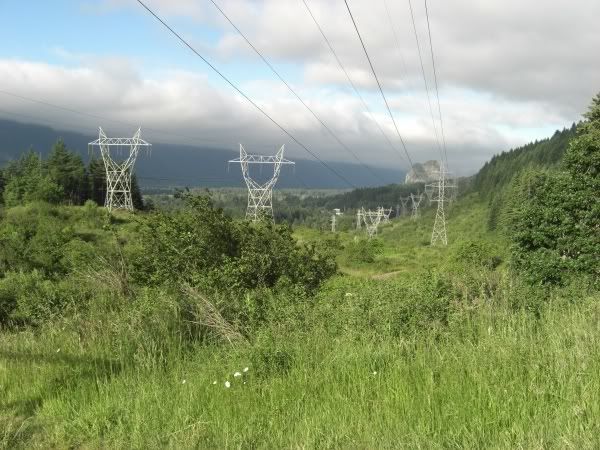
The low hum of electricity from the wires overhead was an interesting way to start things off, but the towers were surrounded by fields full of picturesque flowers that helped take my mind off the fact that it was being irradiated.
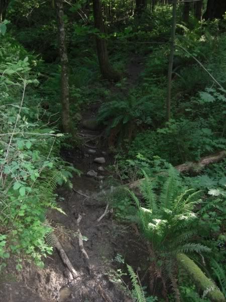
After a very dark, dank, muddy and insect infested (even this early in the morning!) shortcut through some woods, I wound up on the jeep trail leading up to the PCT. I won't be taking this shortcut next time and actually extended my return trip by 3/4 of a mile to avoid it.
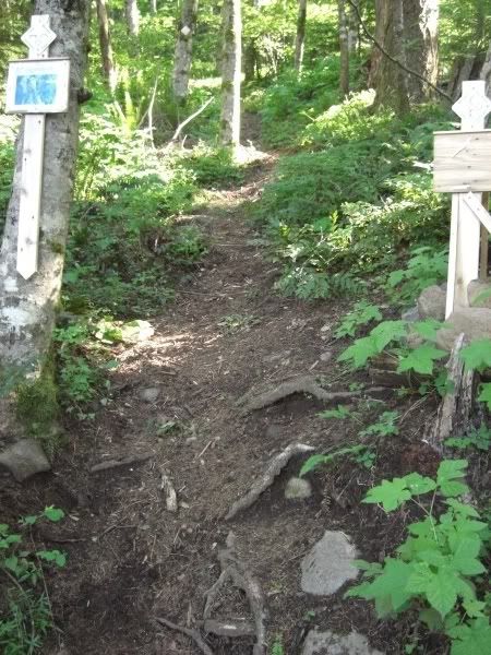
The jeep road and eventual stretch of PCT lulls you into a false sense of security. Gliding through the early miles on these trails made me start to doubt all the veiled warnings about how strenuous this hike is supposed to be...I started to wonder what all the fuss was about. Until I got to the Eastway junction. There is something fairly foreboding about looking dead ahead of you with your head level and seeing where your feet will be in 6 steps.
I am no super-hiker and the thought of going up this sucker was starting to seem like something I could be talked out of, but I started one foot at a time and soon was totally enthralled. Using my GPS I began tracking just how steep this trail is, andnd my favorite piece of deduction was the following: at one point of trail I took 50 steps, travelled about 65 feet, yet managed to climb 73 feet in elevation. Geesh!
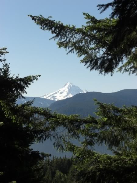
This did make for frequent rest periods and during one such break I was lucky enought o turn around and get my first indication of the eventual rewards!
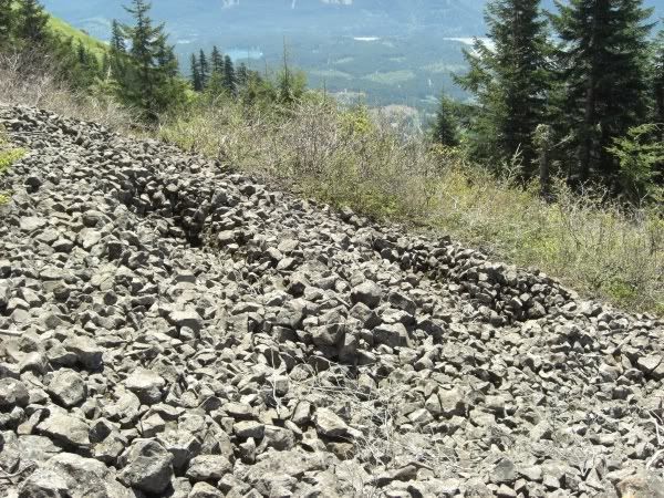
Soon this straight-up trail began to get brighter...there was a thinning up ahead...could I already be near the top!? Um...no. Instead the new Eastway Trail opens onto this little beauty...a talus field stretching upward and onward. The following photo is of the first 2/3, the rest hidden behind younger trees up top.
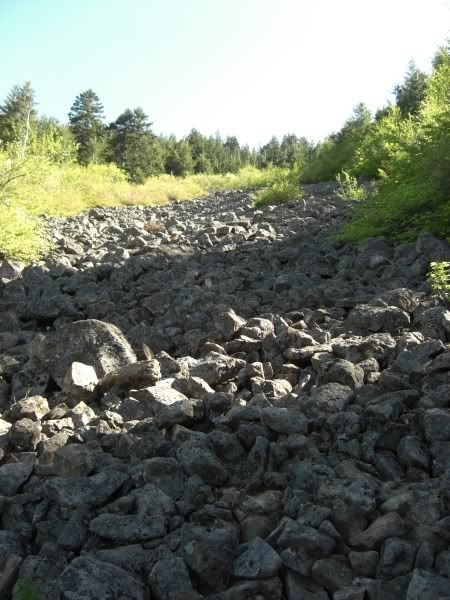
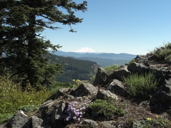
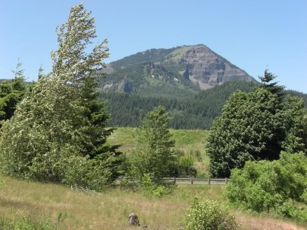
Just prior to the talus were some great views of the top...
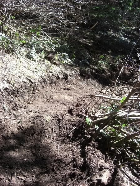
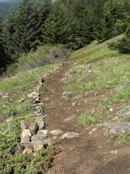
...but afterwards it was back into the trees for the rest of the ascent. After leaving the rocks, it became apparent that I was on the "new and improved" section of Eastway as the trail was very freshly tilled and *gasp* there were three switchbacks! Trying to go easy on us nowadays apparently!
The new section exits out onto the upper meadow not only signalling that my climb was over, but also offering up evidence for just how proud the trail workers are in their work and also how important it is that we all stay ON the new trail.
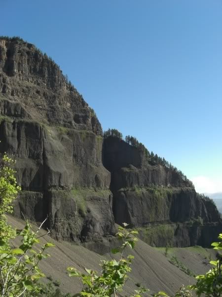
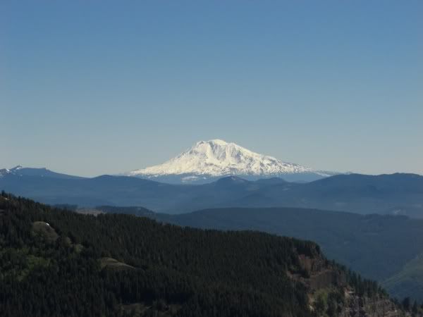
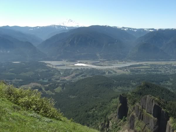
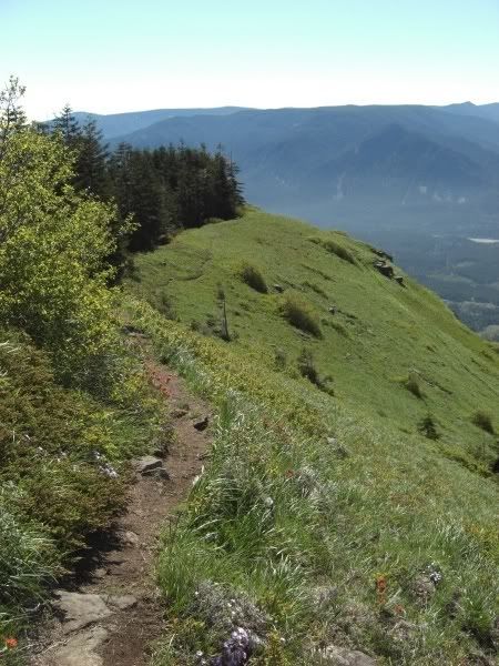
Within a few scant moments of arriving up top, any and all effort of getting up there is immediately worth it. The views are amazing, whether it be Hood, Jefferson, Adams, Rainier, St. Helens; the Gorge - east and west; down the 800 ft. cliffs of the south face; or just the rolling meadow with songbirds and flowers.
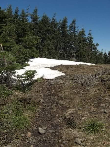
There was a bit of snow still on top, with a few decent sized fields covering up the trail. The top of table however is fairly easy to navigate considering three out of four directions drops you off a cliff (or at least tumbling down a very steep face), so as long as you don't choose one of those everything is hunky-dory.
On the way down the Westway Trail I was surprised that the going was slower than the way up! Everything on this route is slightly less steep, however much more loose and exposed. Slow and steady going was the name of my game and I was delighted to come across a few Indian rock pits on the way down.
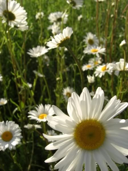
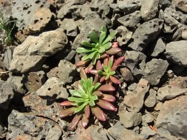
This little plant is a new one to me and was only seen in a single area. It's now one of my new favorite flora!
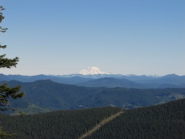
I had met a single gentleman on the summit as I was preparing to leave, but passed several on the way back to the bottom and saw several more dealing with the Eastway talus field far off to the left. It was also starting to warm up pretty good by this point, and for these two reasons alone I recommend an early start on Table; especially on the weekend. After getting back to the car, I drove to a turnoff for one last shot of Table and then was on my way to Cascade Locks for some soft serve ice cream!
Stats for the day: 10.54 miles. 4136' total gain. About 6.5 hours (with nearly an hour playing around up top).
One of my new favorites!!
-aaron

