Where is Cedar Butte? It's an unassuming little bump about 20 miles east of Tillamook. I noticed there was a short (<1 Mile) trail to the top by looking at the excellent Tillamook State Forest map. So... what else was there to do but check it out?
After I got back, I found this:
http://www.oregon.gov/ODF/TSF/docs/CedarButteTrail.pdf
Which gives a little more background.
There was a lot of "tree debris" on the trail - presumably from last winter's storms... There were even a couple gnarly blowdowns that had to be negotiated (not too much trouble I suppose). The view was nice, but the little flies buzzing around my sweaty body were a bit annoying. Anyway, here are some photos...
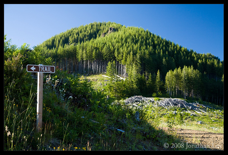
The high point is Cedar Butte. The trail heads just along the border of the clearcut that can be seen at the center of this photo, then heads up through the forest:
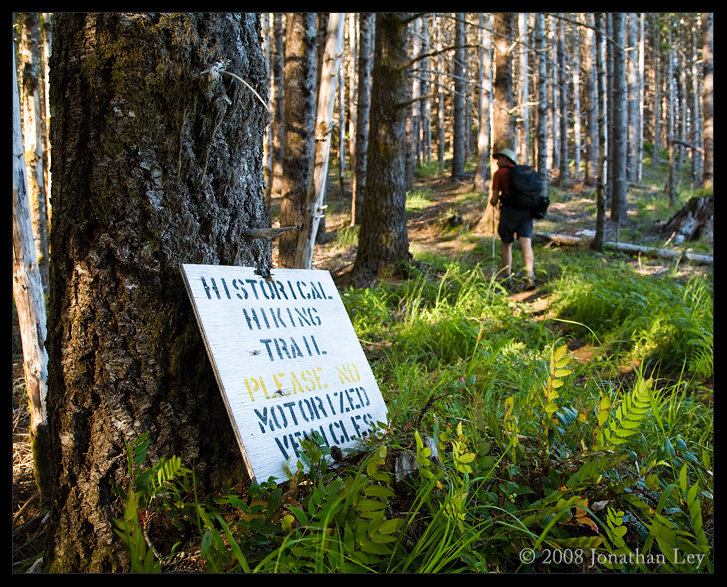
I'm not sure this trail is integral to the history of western civilization, but there's been a trail here for ~100 years, so I guess that's worth noting.
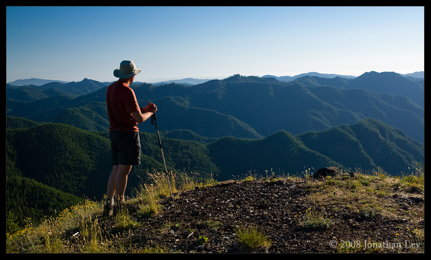
A view from the top, looking southwest-ish:
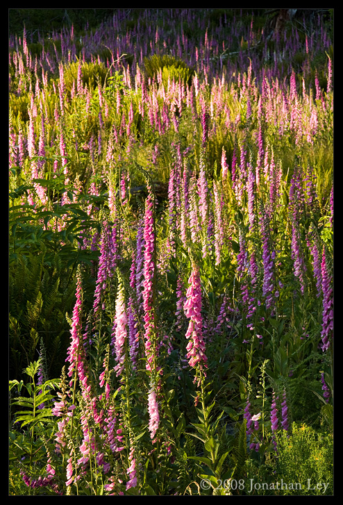
There were some amazing fields (i.e. clearcuts) filled with foxglove along the drive back:
Cedar Butte - 12-July-08
- Cattrapper
- Posts: 224
- Joined: May 28th, 2008, 10:03 pm
- Location: Amity, OR
Re: Cedar Butte - 12-July-08
The historical trail is probably a reference to the fact there used to be a fire lookout up there, first established circa 1917 according to Fire Lookouts of the Northwest. Did you see any evidence of a lookout?
Also, for any rockhound/mineral collectors out there, Cedar Butte is possibly the only location in Oregon where Augite can be found.
"Come visit us again and again. This is a state of excitement. But for heaven's sake, don't move here to live." Tom McCall