
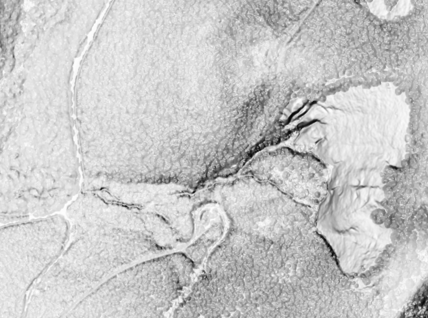
LiDAR, blend of bare earth and highest hits data so forest canopy visible
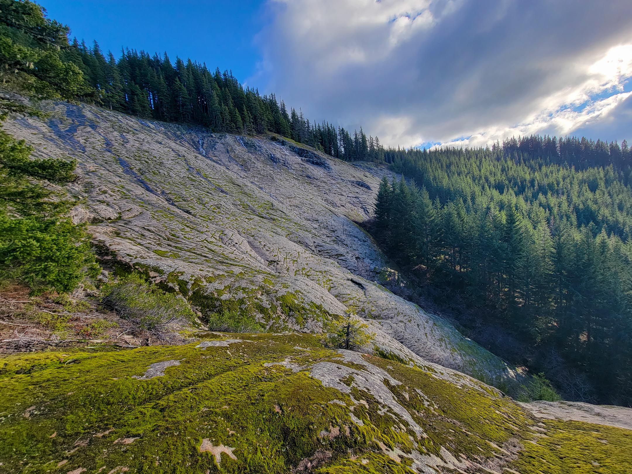
That led me to find some information from climbers about the feature, https://www.portlandrockclimbs.com/gorg ... o-slab.htm which is a nice casual slab climbing spot, and this viewtopic.php?t=24695 2013 post here exploring and discussing the area. Other than those to sources, haven’t found much info, so I decided to incorporate a visit into a Thanksgiving day bike journey in the Gifford Pinchot National Forest. Starting at the Oklahoma Campground I biked up FS86 to Trail Peak, then was pleased to begin the downhill section of my journey on 6610, leaving that for 6610-030 and then the short spur towards the parking area. The spur road is narrow and has a low ceiling but is good for driving, and it ends in a loop where the road turning south is decommissioned and overgrown. Room for maybe 7 cars. The trail begins right at the end of loop with a sign and splits immediately. The right branch climbs steep to the base of Slab, and then follows along the slab, providing access to the varying routes bolted on the slab before heading back down into the forest away from the slab and back to the junction at the parking lot. There isn’t a clear or primary route on the north end of the trail that goes to the spectacular viewpoint and top rope anchors, but it is a relatively unobstructed, although somewhat steep forest walk. It’s a huge slab of Diorite, eroded by glaciers, covered by forest, and then landslide ripped it bare. A really unique spot and great view and worth stopping by if you are in the area to explore.
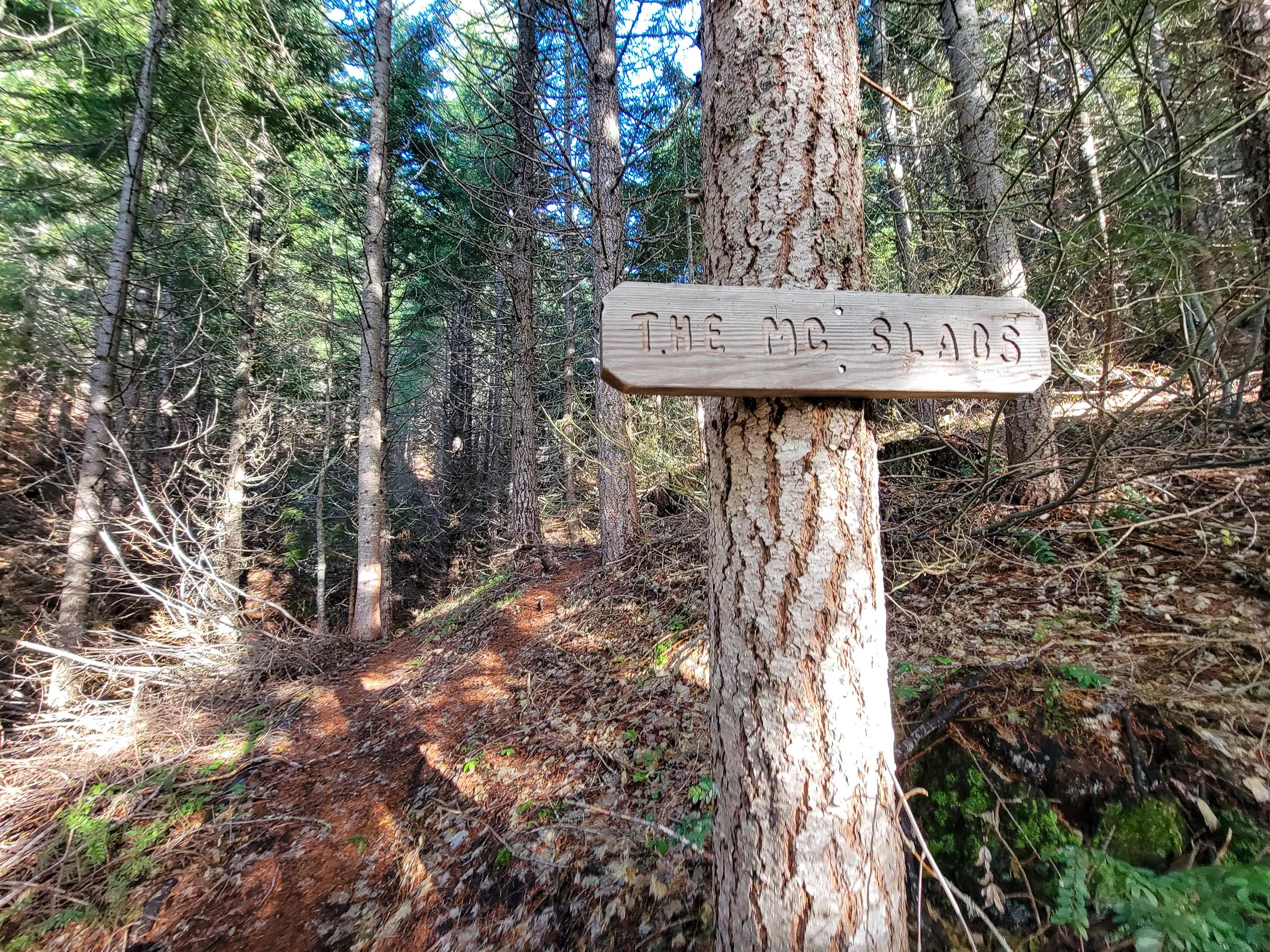
Trailhead

Info at the site
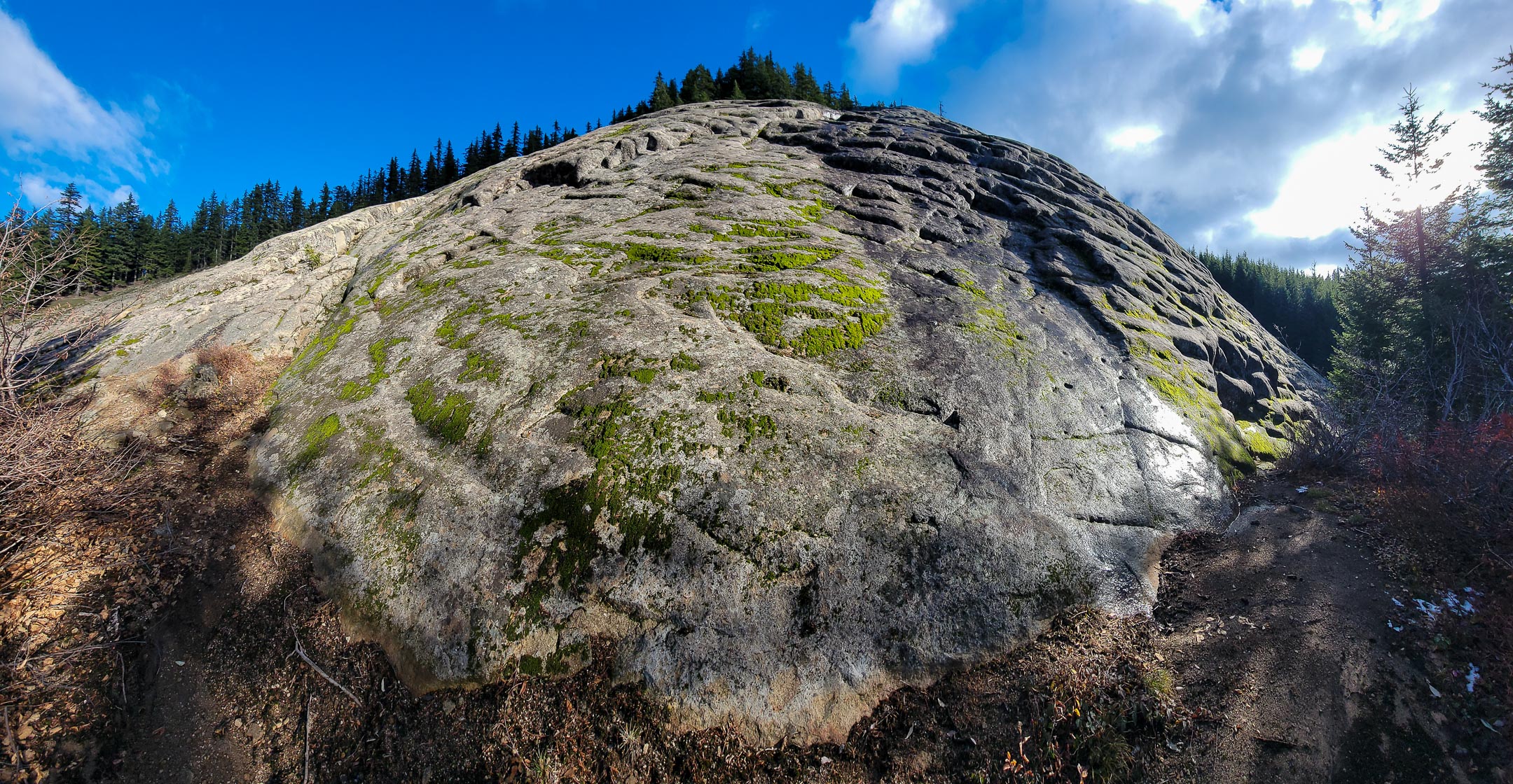
Coming to the Slab
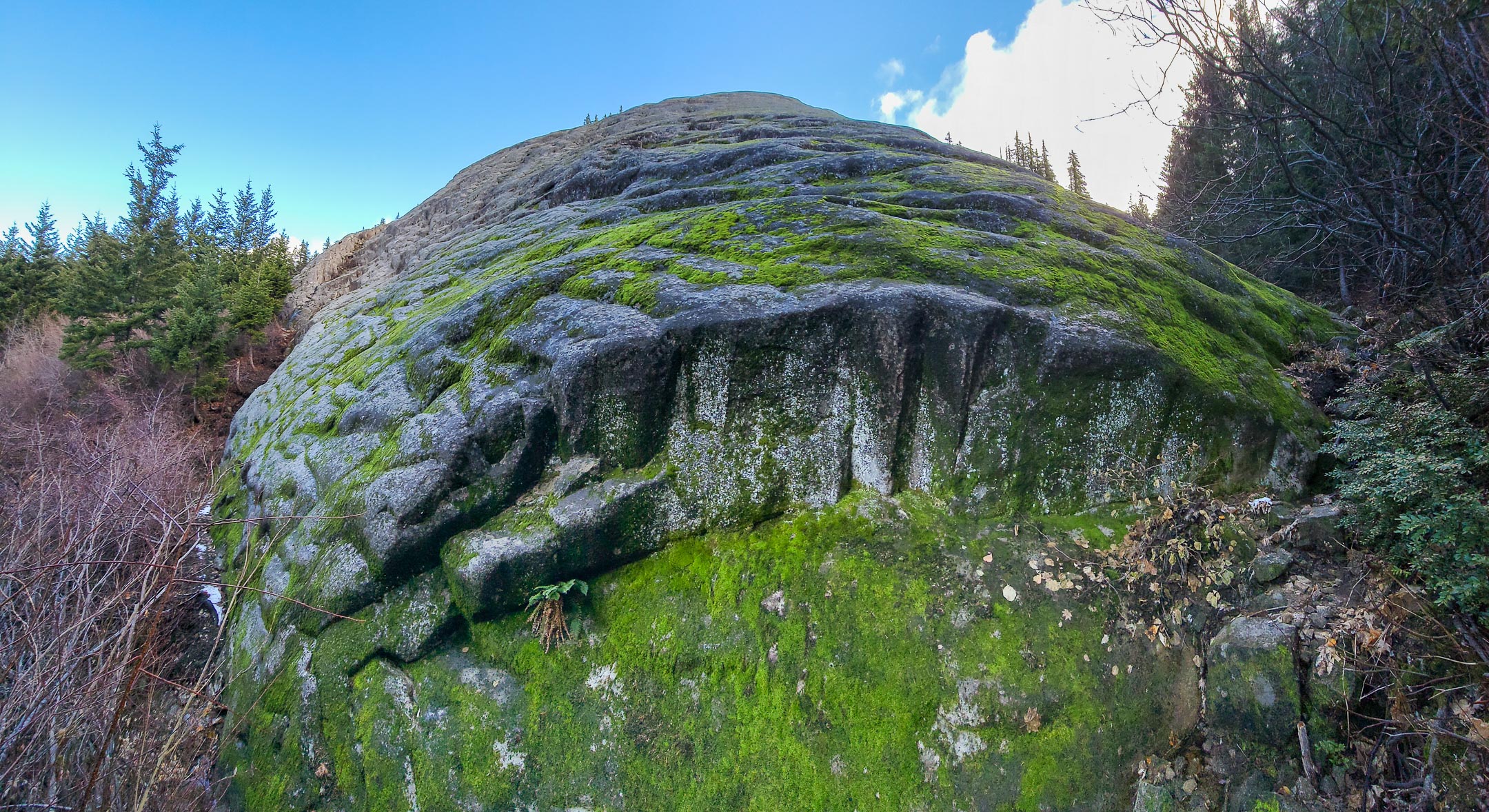
Slab panorama looking up
Up on the outstanding viewpoint
I came back to the spot (driving from Trout Lake) before the weather rolled in, finding the whole area crisp in the low 20s and fog freezing crystals on trees, grasses, spiderwebs and everything else, which provided a different set of viewing conditions. Also did some fun exploration on the road into Big Lava Bed, with its lava flow ponds filled with ice.
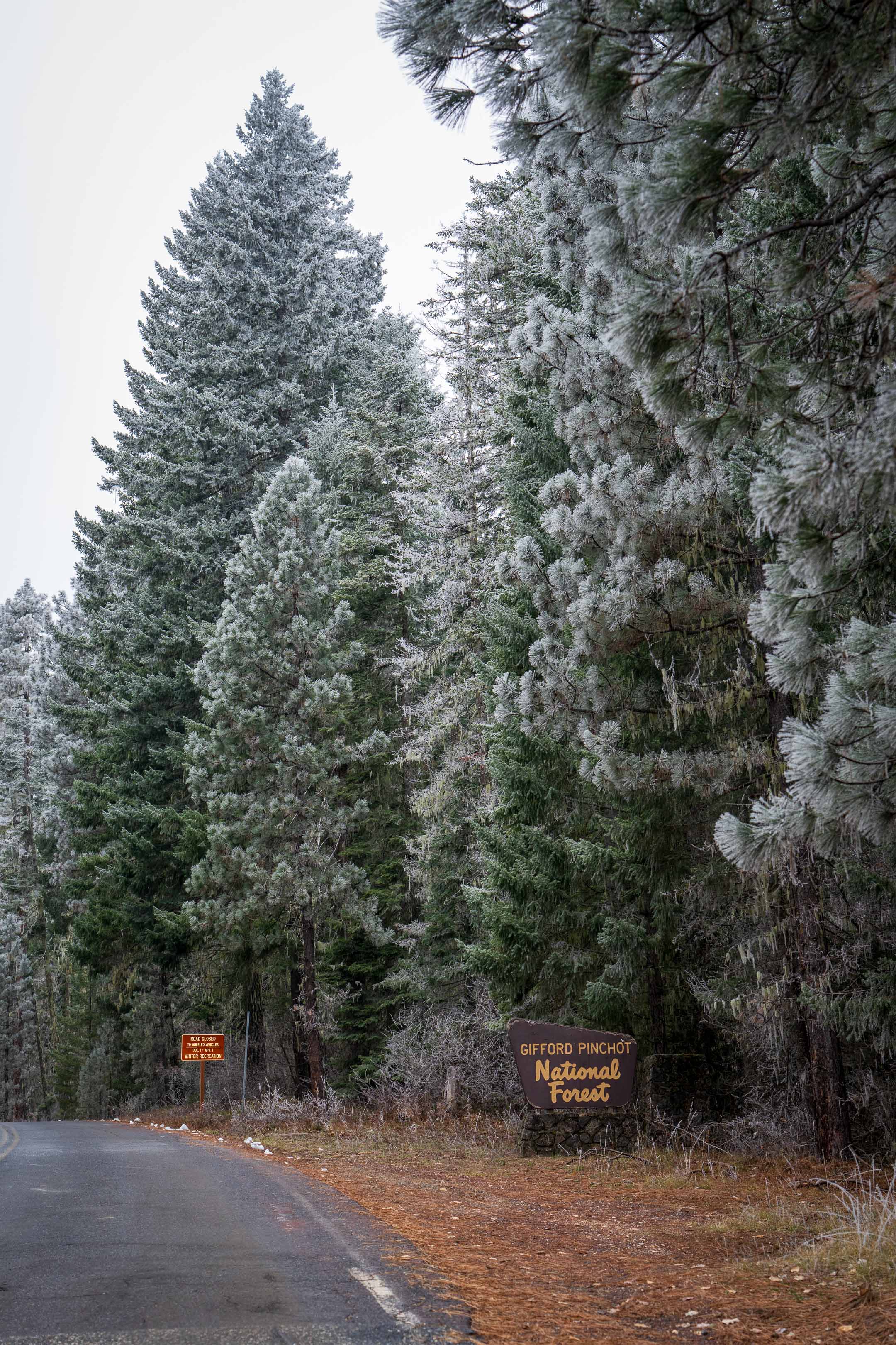
Into the Gifford!
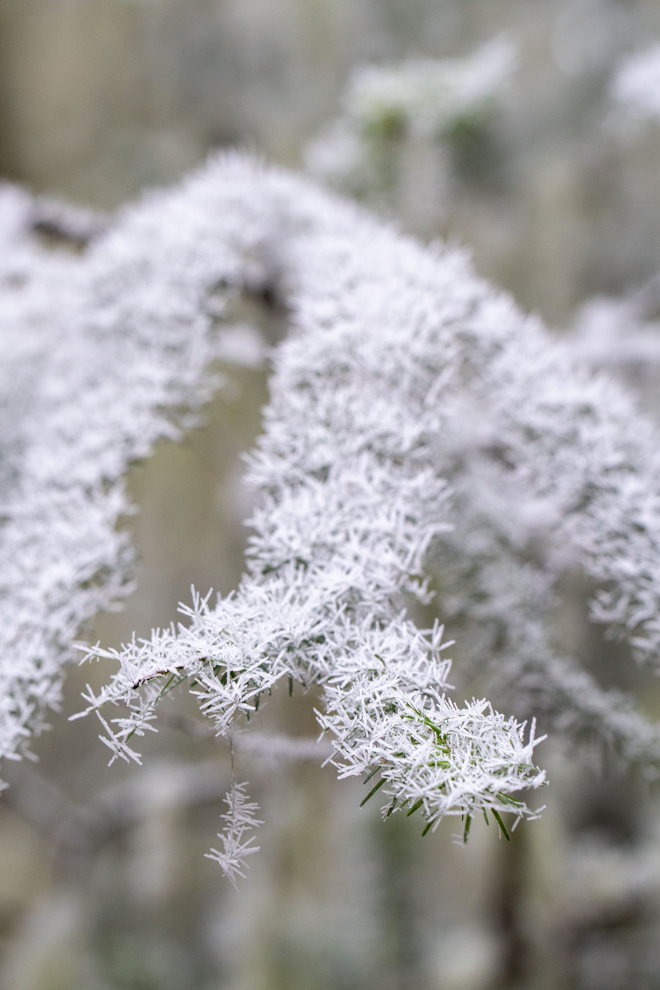
Ice crystals formed on all the surfaces

Had to stop by Natural Bridges
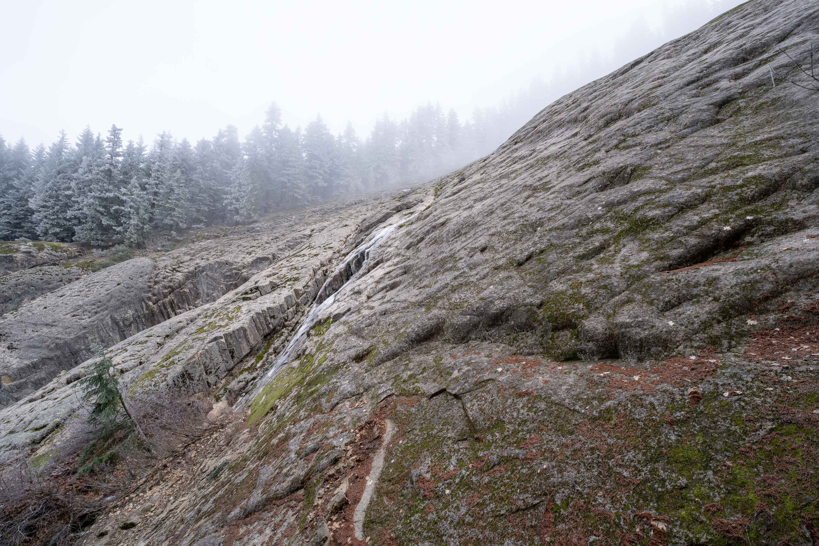
Icy Slab
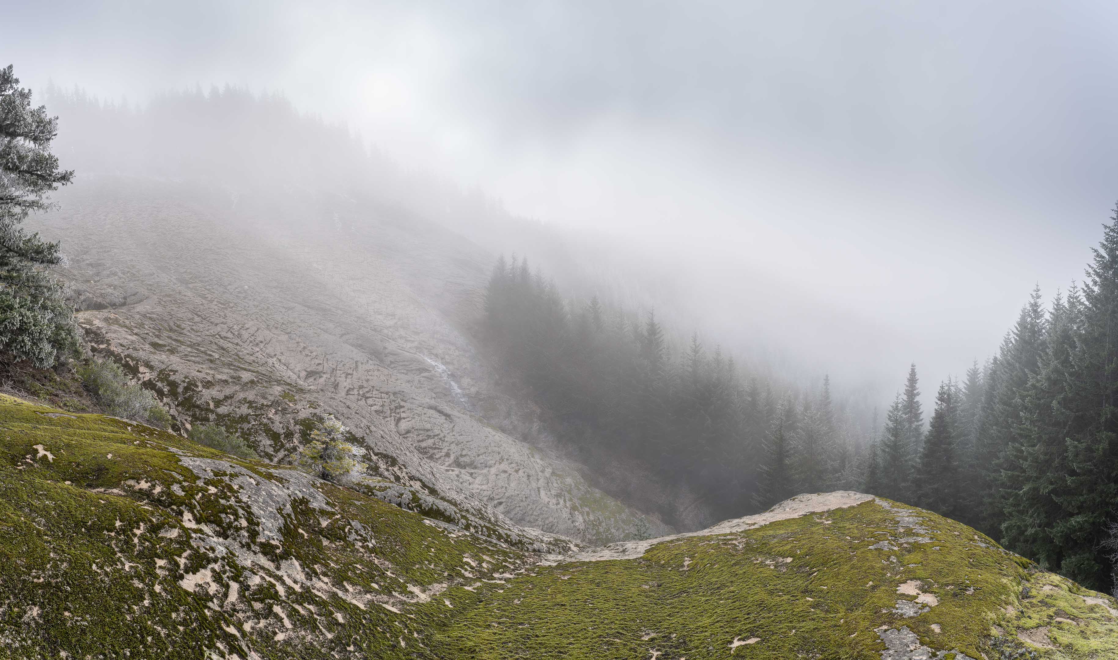
Dramatic conditions at the slab. Absolutely still air though, no movement.
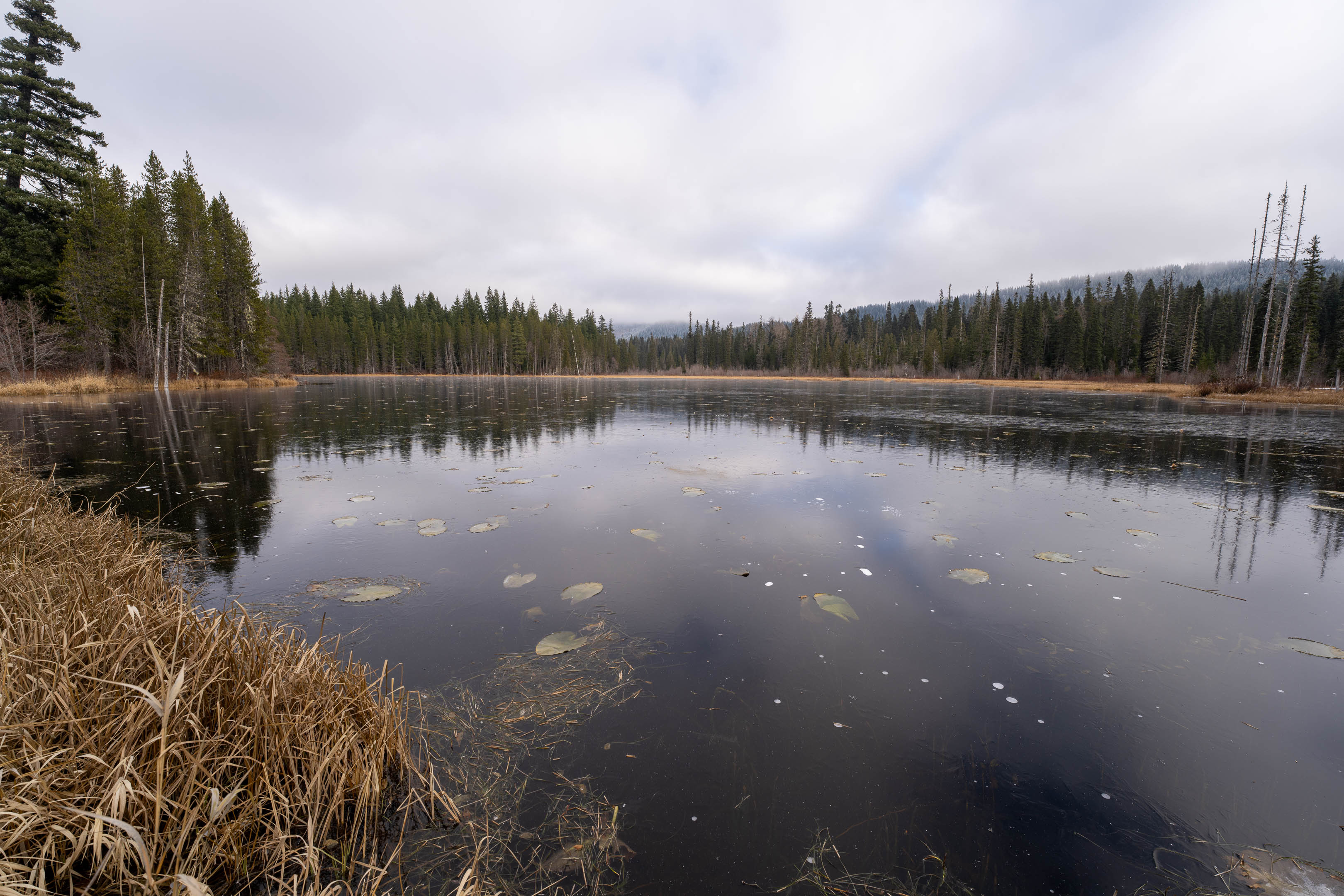
The slab is viewable from South Prairie if you walk out a bit along the lake at the south end.

There it is in the distance
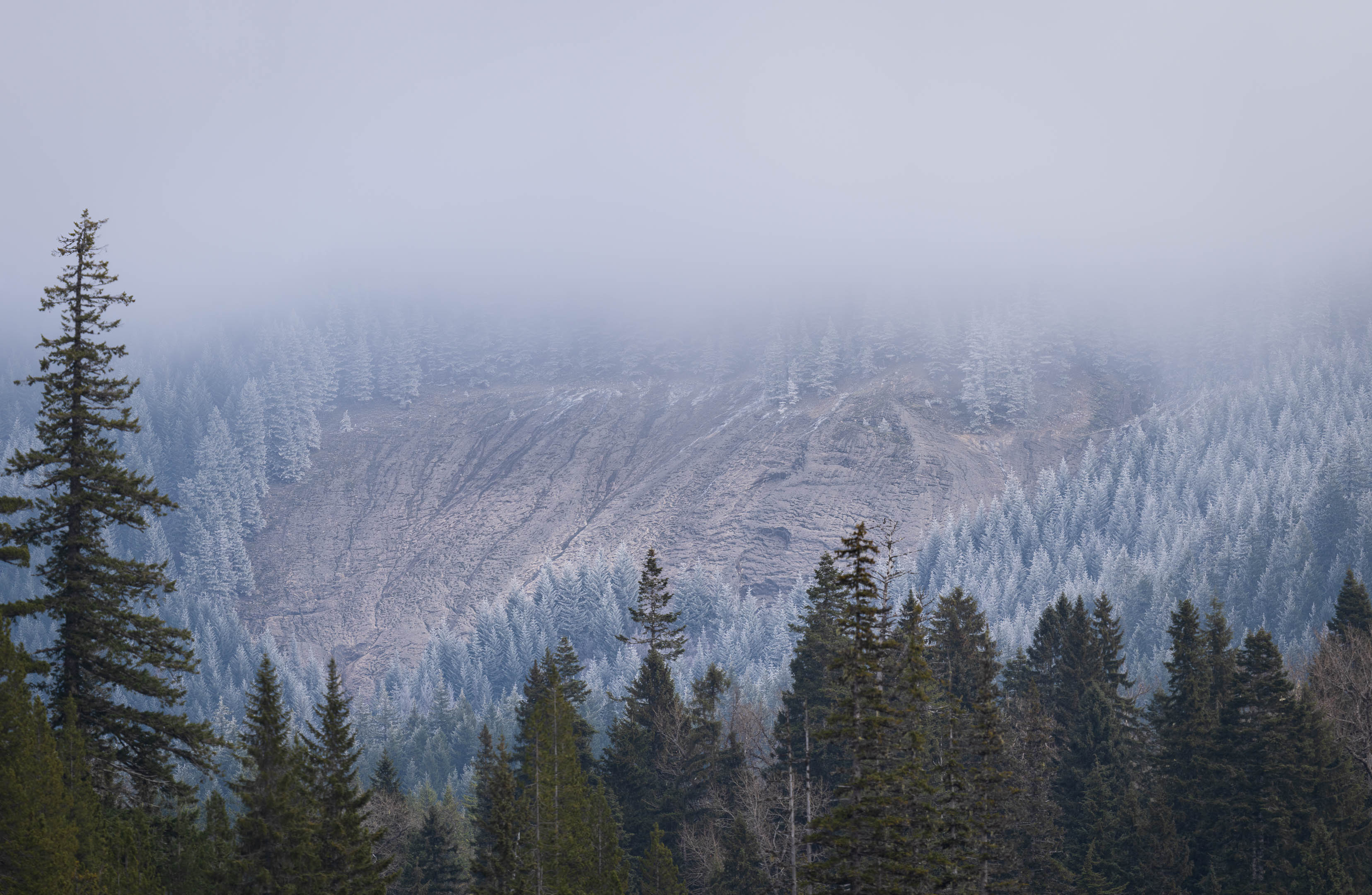
Lets zoom in on that!
I've been loving poking around the Gifford all fall, and this was a nice endcap to the season.


