
When: 5/28/21
Who: Just Me (Born2BBrad)
Opening picture:
-----------------------------------------------------------------------------------
General Information
Route: Buckhorn Lookout (5333’), Eureka Wagon Road to Eureka Creek (1750’), Imnaha Trail #1713 to Cemetery Ridge Saddle (3535’), Cemetery Ridge to Eureka Wagon Road jct (5050’), back to Buckhorn Lookout
Miles: 18)
EG: 5200’
People encountered: 5, none on the trails, Memorial Day weekend too, but a Friday
Drive time from The Dalles: 5 hrs 30 minutes, with stops for gas and rest stop
Links:
Fred Barstad “Hiking Hells Canyon & Idaho's Seven Devils Mountains”
Google Earth overview:

Topographical overview:

Google Earth Video Tour:
Link to video on YouTube:
https://youtu.be/6NGmJhrM6Og
-----------------------------------------------------------------------------------
Trip Narrative and Pictures
About an hour north of Enterprise on FR 46 is Buckhorn Lookout. From the Buckhorn Lookout area, several hikes can be done. Looking at maps and reading Fred Barstad’s book, a route was put together. There were questions as to whether the trails were still there. I was going to find out, and I did.
Buckhorn Lookout:
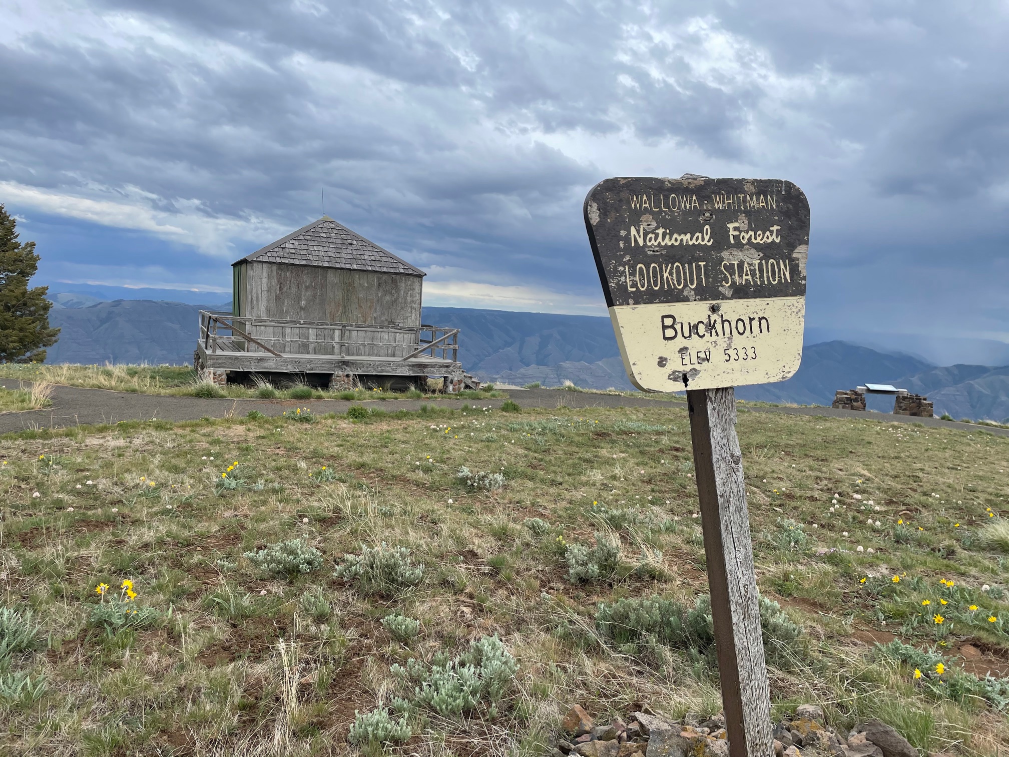
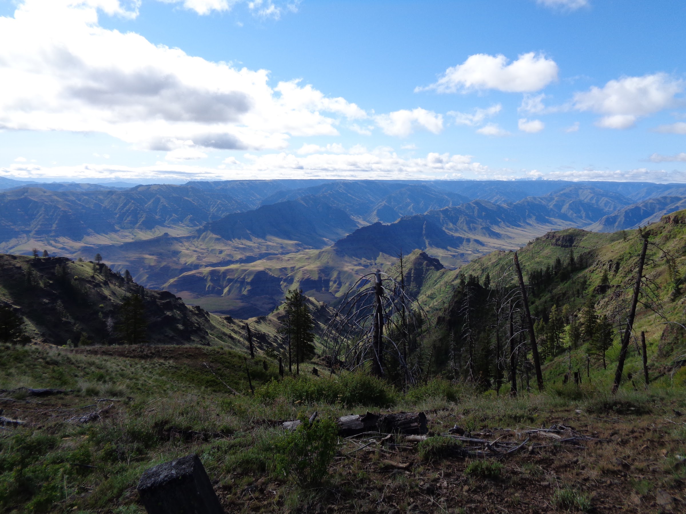
View from Buckhorn Lookout:

Keeping an eye on the weather forecast, a schedule was set. I drove from The Dalles Thursday afternoon (5/27) and made it to Buckhorn Lookout by evening. The initial plan was to sleep in my car at Buckhorn Lookout, but the constant 40 MPH wind was rocking my car, and rain was spitting sideways. So a spot just below the ridge was chosen instead.
The skies cleared overnight, with the temperature getting down to freezing. The temperature was 35 degrees to start the hike at 8 AM. Fortunately the winds were light.
There was a short road walk to get to the TH, which now I know my Subaru could have handled it. While walking on the road I came across a couple who were also from The Dalles, who knew my neighbors. What a small world.
The road at this point is the Eureka Wagon Road. It was built in 1903 to supply miners at Eureka Bar on the Snake River. It goes from 5300’ to 950’.
Road walk just before the TH:

I stayed far away from this guy:

Gate at the TH:

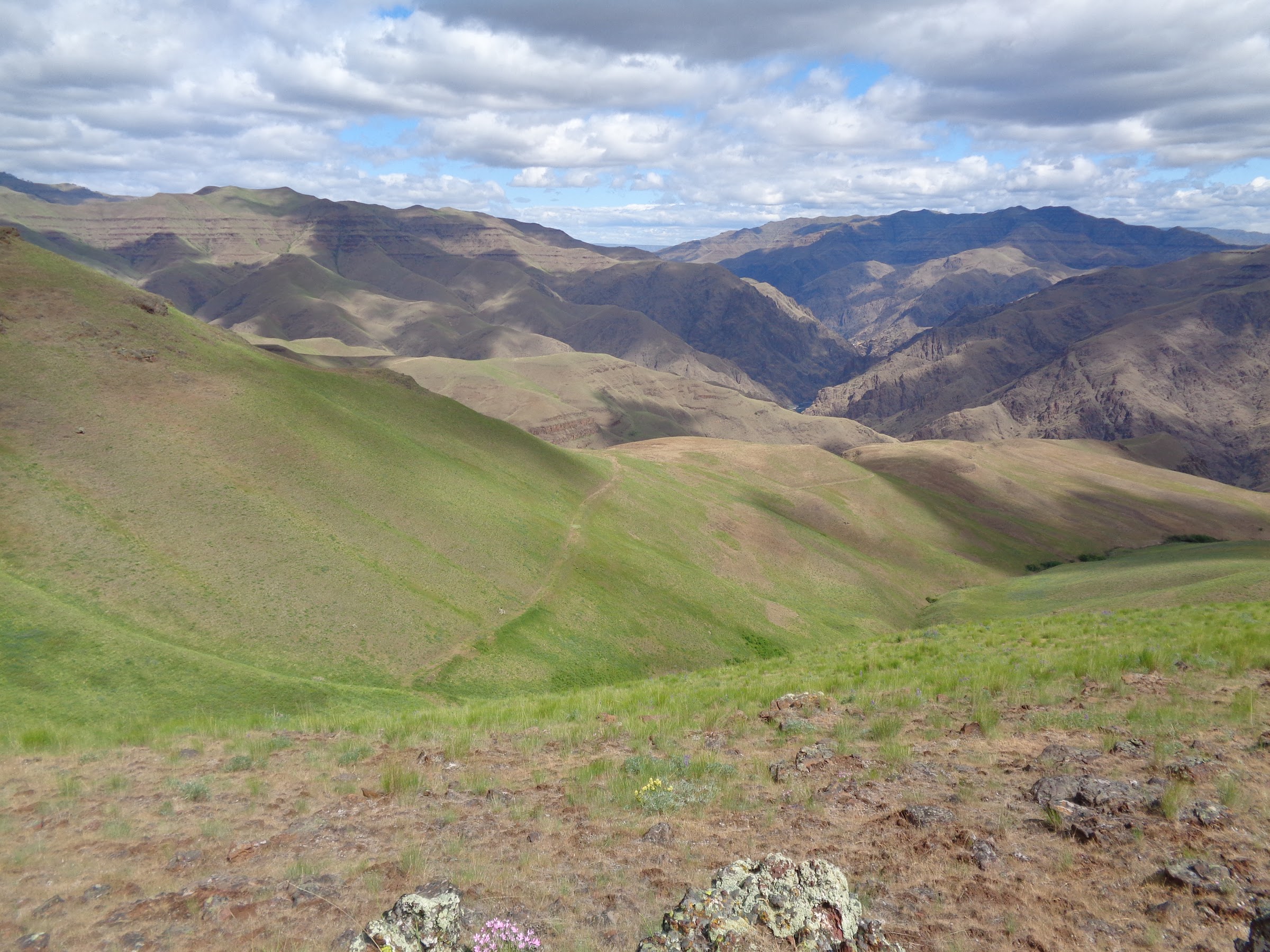
View from the start of the trail:
Cemetery Ridge Trail (L) and Eureka Wagon Road (R):

The wagon road looks like this much of the way to Eureka Creek:
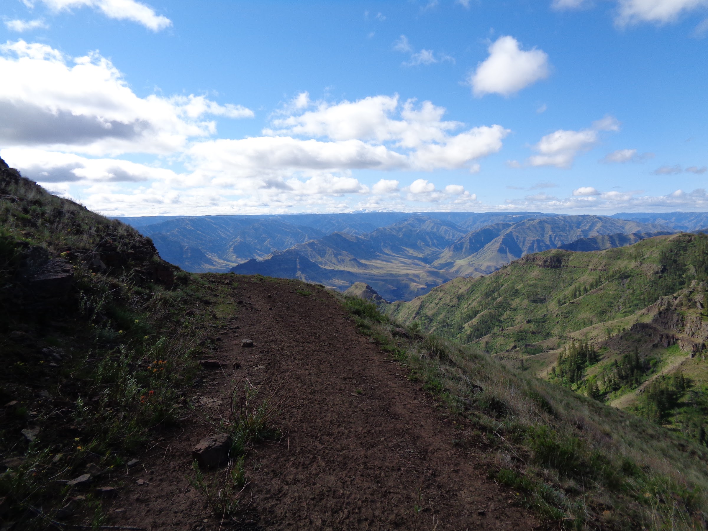
The road goes down, down, down:

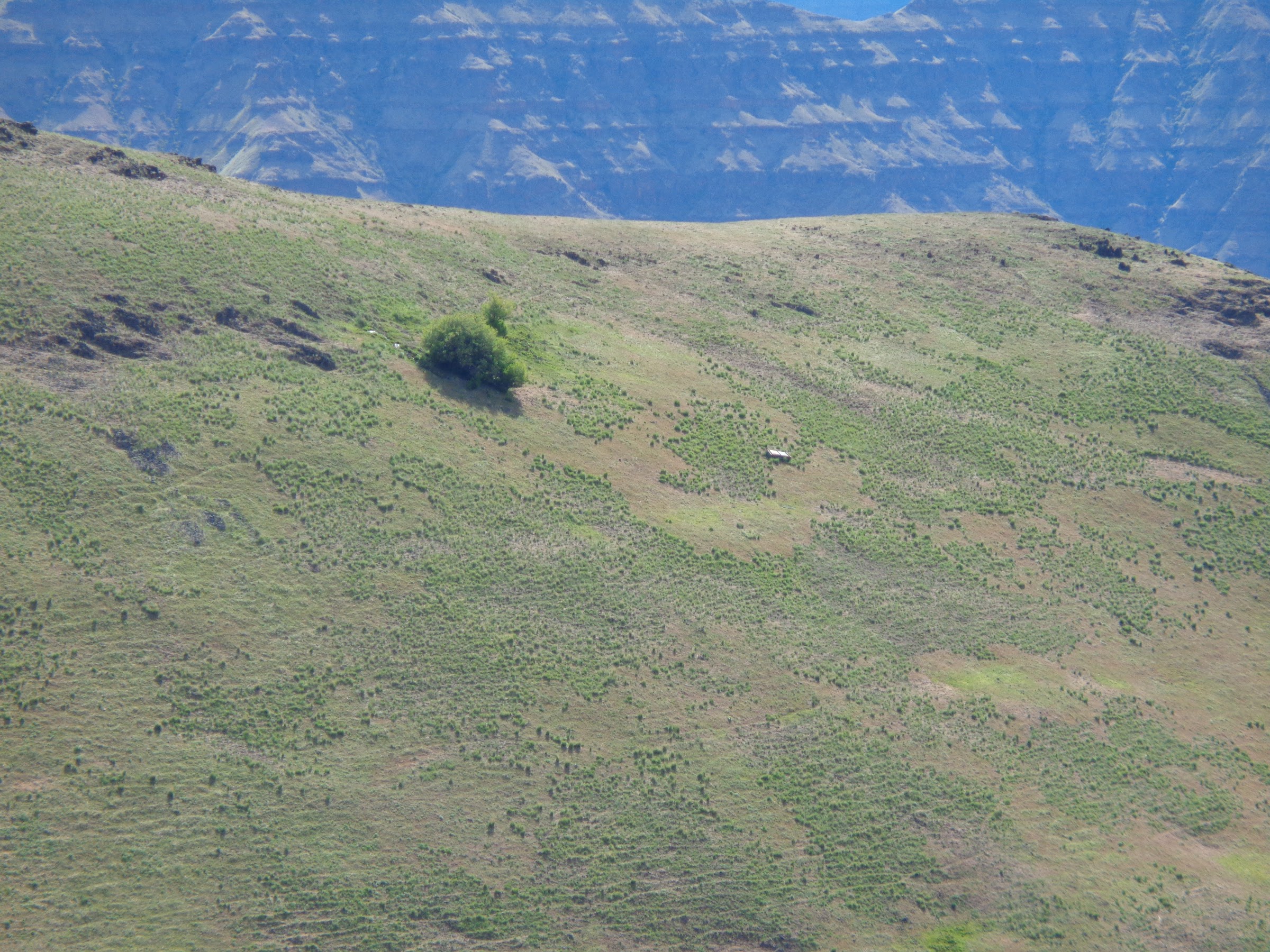
Mystery object on a hillside:
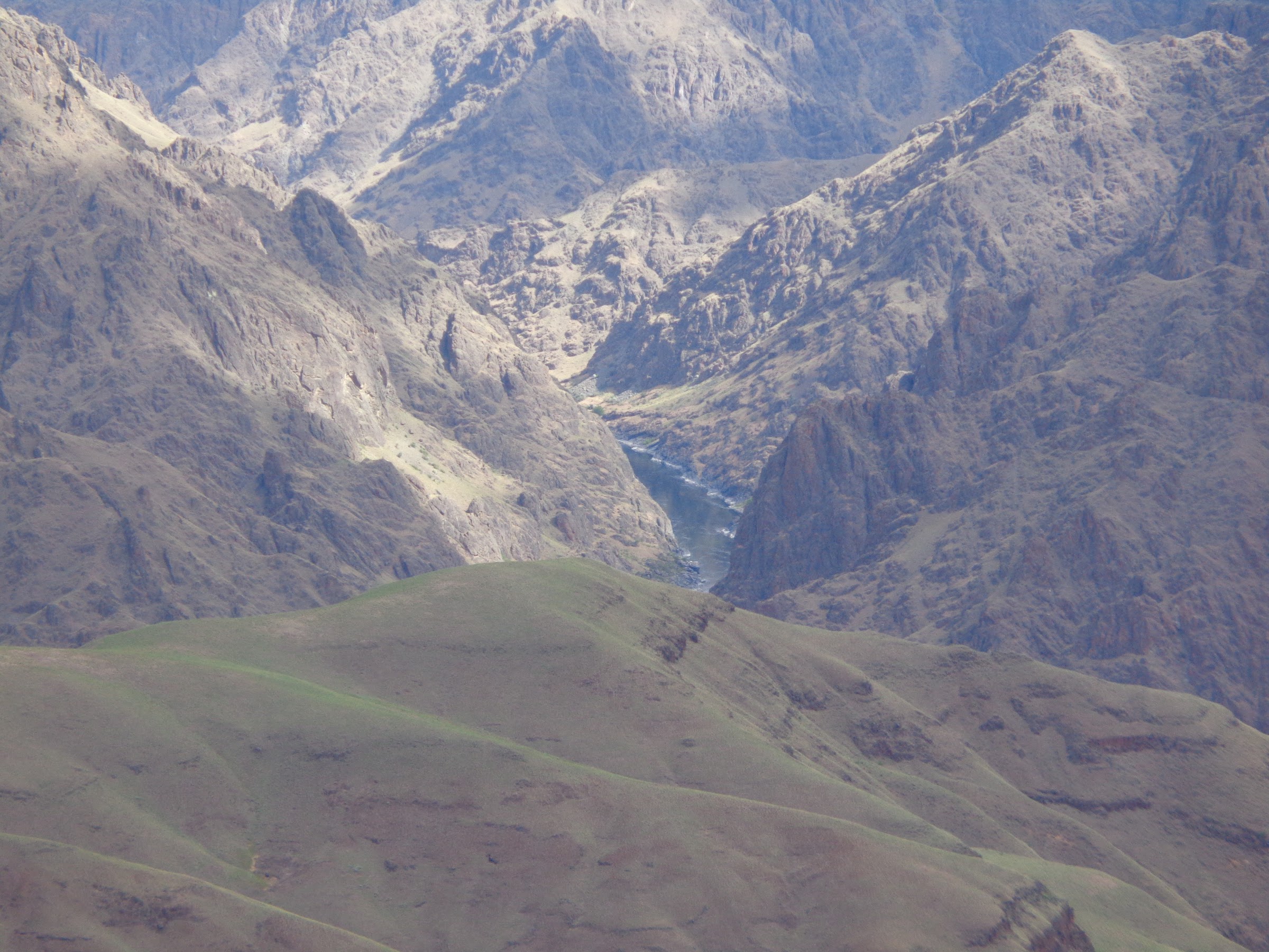
A sliver of the Imnaha River can be seen if you look closely:

Yours truly at Eureka Viewpoint:

There’s the Snake River way down there:
360 Video from near Eureka Viewpoint:
Link to video on YouTube:
https://youtu.be/UM-urx7pgZI
Pretty lupines:

The wagon road continues down:

“Cabin” at Eureka Creek:

Near the Eureka Creek Cabin is where the Imnaha Trail starts. Note: this is not to be confused with the Imnaha River Trail. The Imnaha Trail was described in Fred Barstad’s book, but I questioned how much use it still gets. There was a trail on the NW Topo mapset and a trail on the CalTopo site. Both were put on my GPS, and it was a good thing. While it’s hard to get lost in such an open area, the trail was lost, then found, dozens of times. The trails on the GPS were helpful, as walking on the barely discernable trails was slightly easier.
The Imnaha Trail junction cairn markers were not legible:

Can you tell where the trail is?

At the crossing of Knight Creek the trail disappeared. One way was an impenetrable thicket of thorny bushes. The other was a wall of poison ivy. Trying to avoid the poison ivy, I chose the former first. Like I said, impenetrable and thorny. Many scratches and cuss words later, I went the poison ivy route. No rashes yet, but I’m crossing my fingers, and not scratching my legs.
Lots of poison ivy near the lower creek elevations:

After crossing Knight Creek, the next stretch of the Imnaha trail climbs 1575’ in 1.25 miles. Pretty steep, but it was good traction and great views.
Looking down at the Knight Creek drainage:

The Imnaha Trail meets up with the Cemetery Ridge Trail. I thought it would be at the Cemetery Ridge saddle. While the Imnaha Trail goes over the Cemetery Ridge saddle, that’s not where it meets the Cemetery Ridge Trail. That junction is lower, about a quarter a mile before the ridge where a cairn marker is. I saw the cairn and could barely read directions pointing to the Cemetery Ridge Trail, but there was no discernable trail. So I went to the saddle and followed the ridge up.
Sign cairn pointing to Cemetery Ridge Trail:

360 Video from Cemetery Ridge saddle:
Link to video on YouTube:
https://youtu.be/eWeGuG0bilU
Walking on the ridge was not too difficult. From up there I could see where the trail was down below. Eventually the real trail met up with the ridge. Even after finding the ridge trail again, I lost and found it many times. Eventually the ridge trail meets an old road and the trail was never lost again.
View up Cemetery Ridge from the saddle:

Someone had a lot of time and energy on their hands:

Looking up Cemetery Ridge, no trail in sight:

Sometimes the ridge trail is not on the ridge:

Looking back down Cemetery Ridge:

For those of you watching snow levels, this was the only snow. It was at 4877’ on a north facing slope:

----------------------------------------------------
Final Notes
• This is route that is all downhill, then all uphill.
• If the weather is sunny, the trail is close to 100% sun exposure.
• No permits of any kind are required for parking, hiking or backpacking.
• You’d better have great trail finding skills if you are going to attempt this loop.
• There are very few places to pitch a tent, if you were backpacking this route. Mainly at Eureka Cabin and Knight Creek.
• Eureka Creek and Knight Creek were the only water sources.
• I now can tell the difference between poison ivy and poison oak.
• Lots of snakes below 2000’ in this area. Being that it was freezing the night before, I didn’t see any.
• There are lots more trails in the Hells Canyon NRA to explore. Stay tuned.
Link to pictures on Google Photos:
Link 1
Link 2
Hike the good hike,
Brad


