Winter comes to the Dark Divide - 10/24/20
Posted: October 24th, 2020, 9:13 pm
There is better fall color on the east side of Hood right now, but the Dark Divide has its charms - and as winter has arrived early, you can get the place to yourself. My objectives were Tongue and Juniper pks - FS 29 is in fantastic shape (very flat and hard packed, almost zero potholes) but is closed at the 2904 junction for maintenance. FS 2904 is also in really good shape, with minimal bumps - just a berm every so often - all the way up to the TH at the saddle up top. I would think any passenger car should be able to do it if you go slowly over the berms.
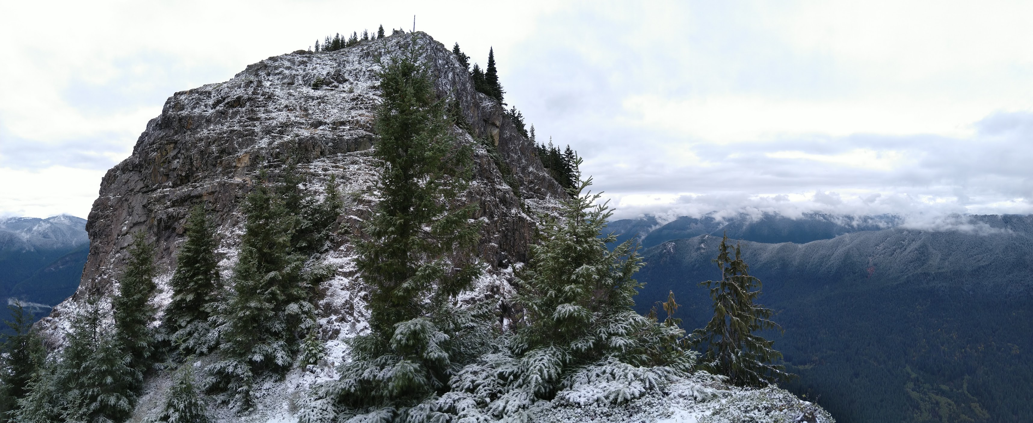
I parked at the lower trail off 2904, below Tongue. Per the USFS map, this doesn't exist; Caltopo Mapbuilder layer shows it, but whatever it is, it appears to be abandoned. (The first part is an old road, and is probably the 604 road spur that shows up on the USFS map but is misaligned - it becomes a trail after that.) It was a bit overgrown and there was some blowdown, so my feet and pants got wet from last night's rain as I climbed towards the snow line (an auspicious start!). Up at the main 294 trail, I turned up the hill to Tongue. I've been meaning to get up here for years and would love to climb Tongue - it looks like a pretty simple scramble from the saddle up top, but the exposure and fall line are severe, so in these conditions, no way. My wet pant cuffs proceeded to freeze while I took pics, which was fun.
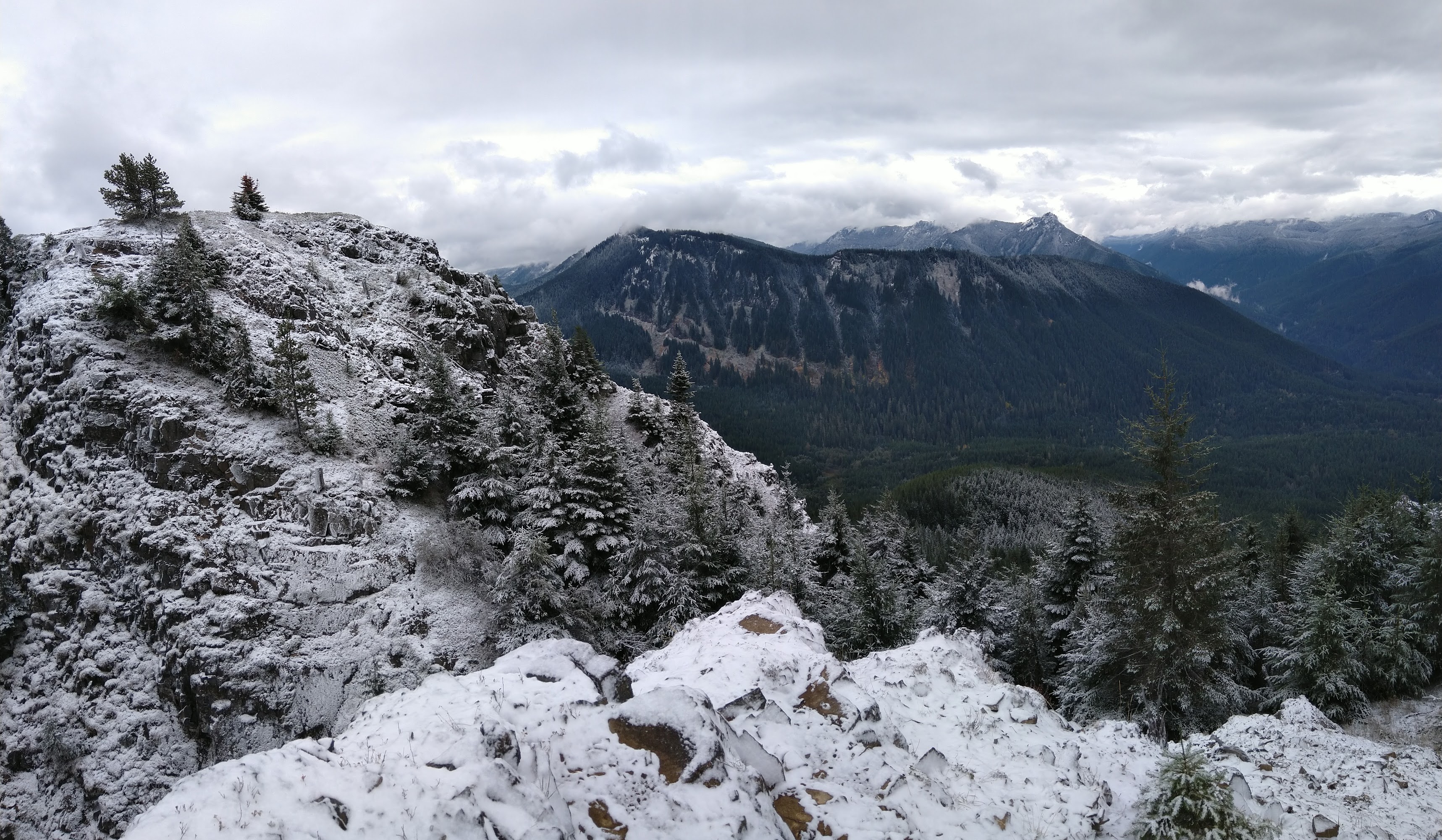
View south - the long right-trending ridge is the ridge coming off pt 5227, north of Juniper; I believe the rocky bump on the ridge behind and right is Langille Pk.
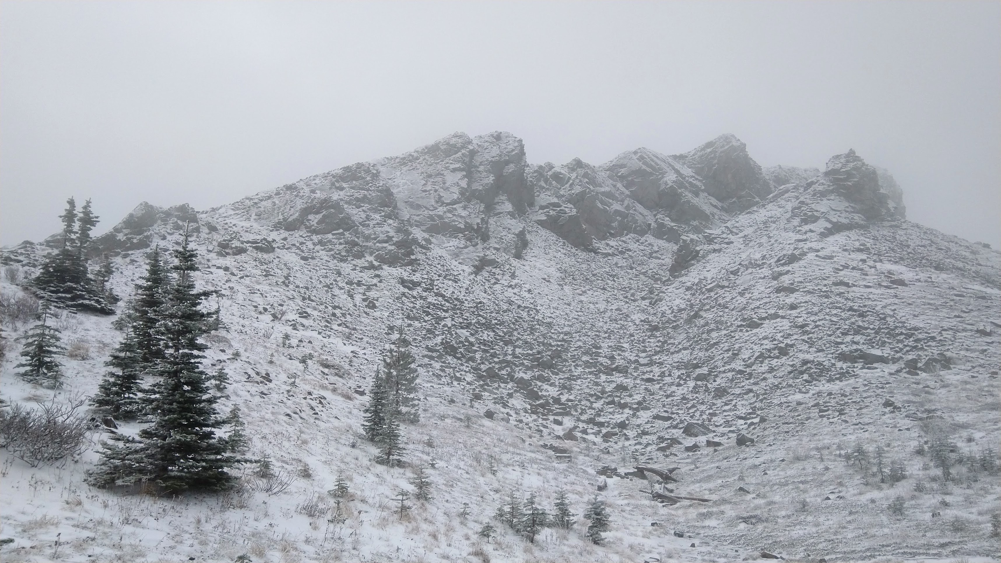
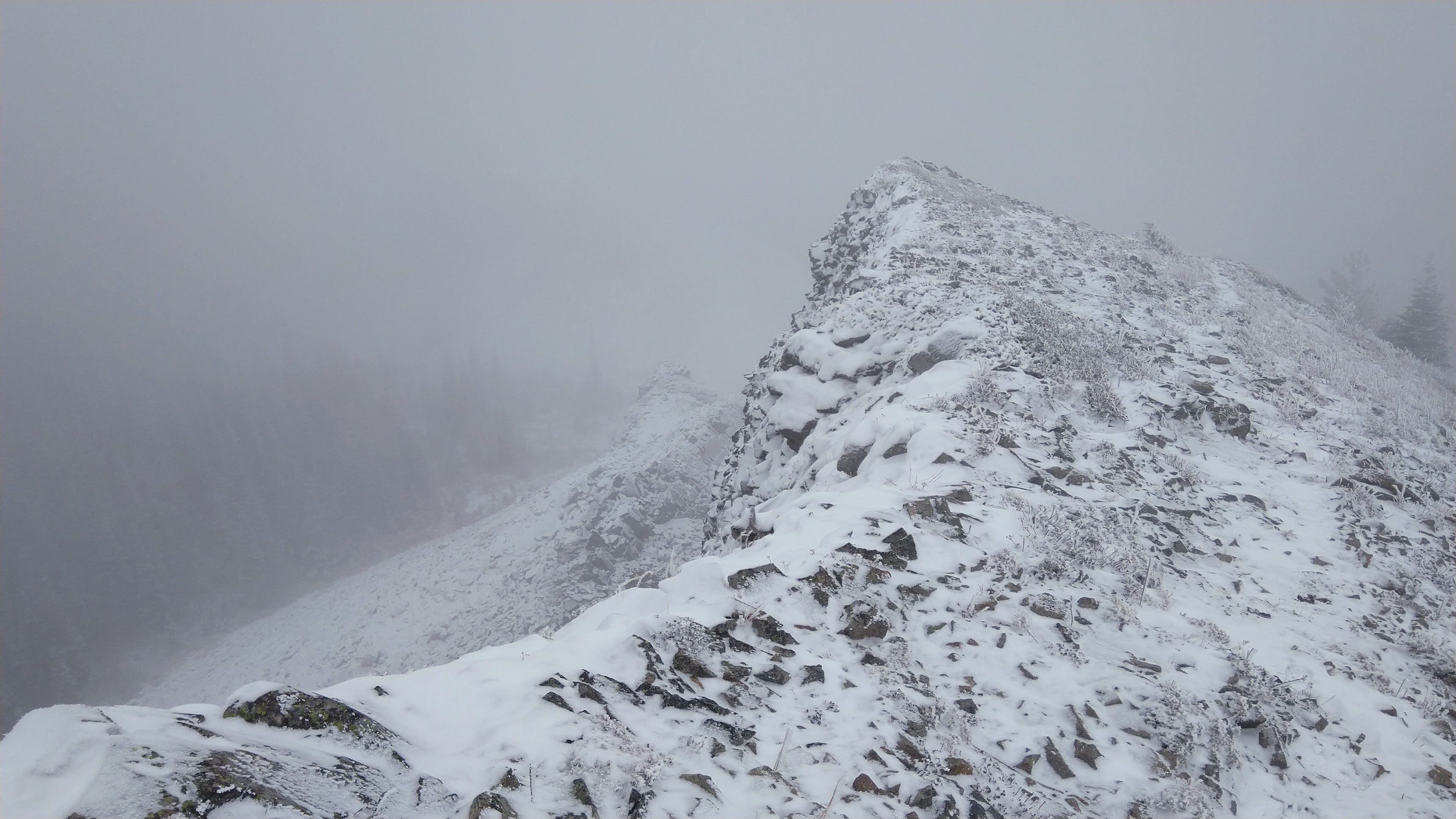
After this, I retraced my steps to 294 and followed it down to the upper TH, then continued on the Juniper Ridge trail. It's in fine shape, though the dirtbike V-rut is annoying. (But they maintain the trails out there, so that's the trade off.) Things got increasingly cold and rimed until I reached the shoulder of Juniper, which was being plastered by a frozen wind.
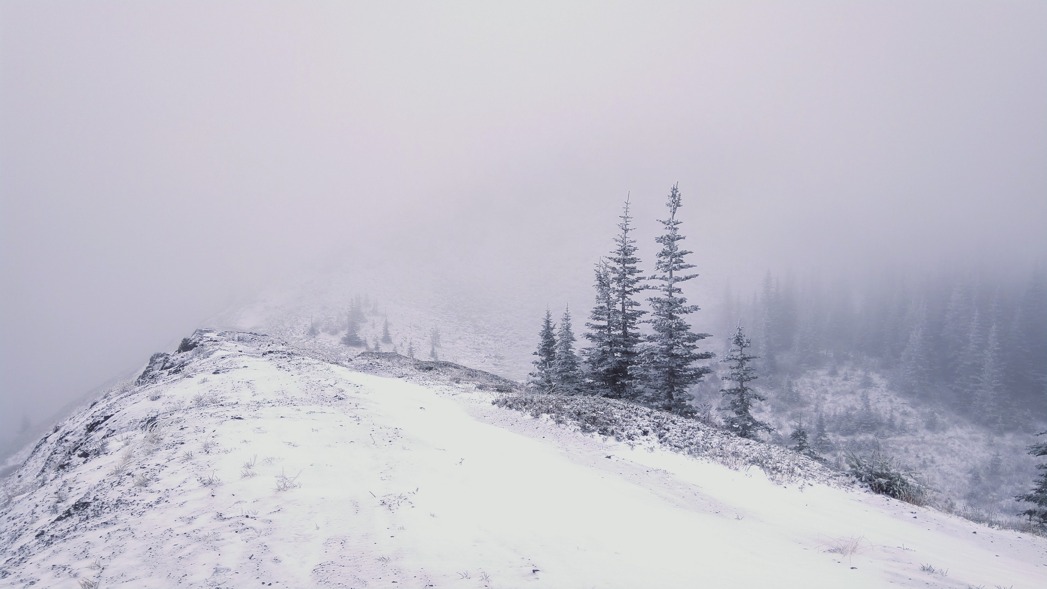
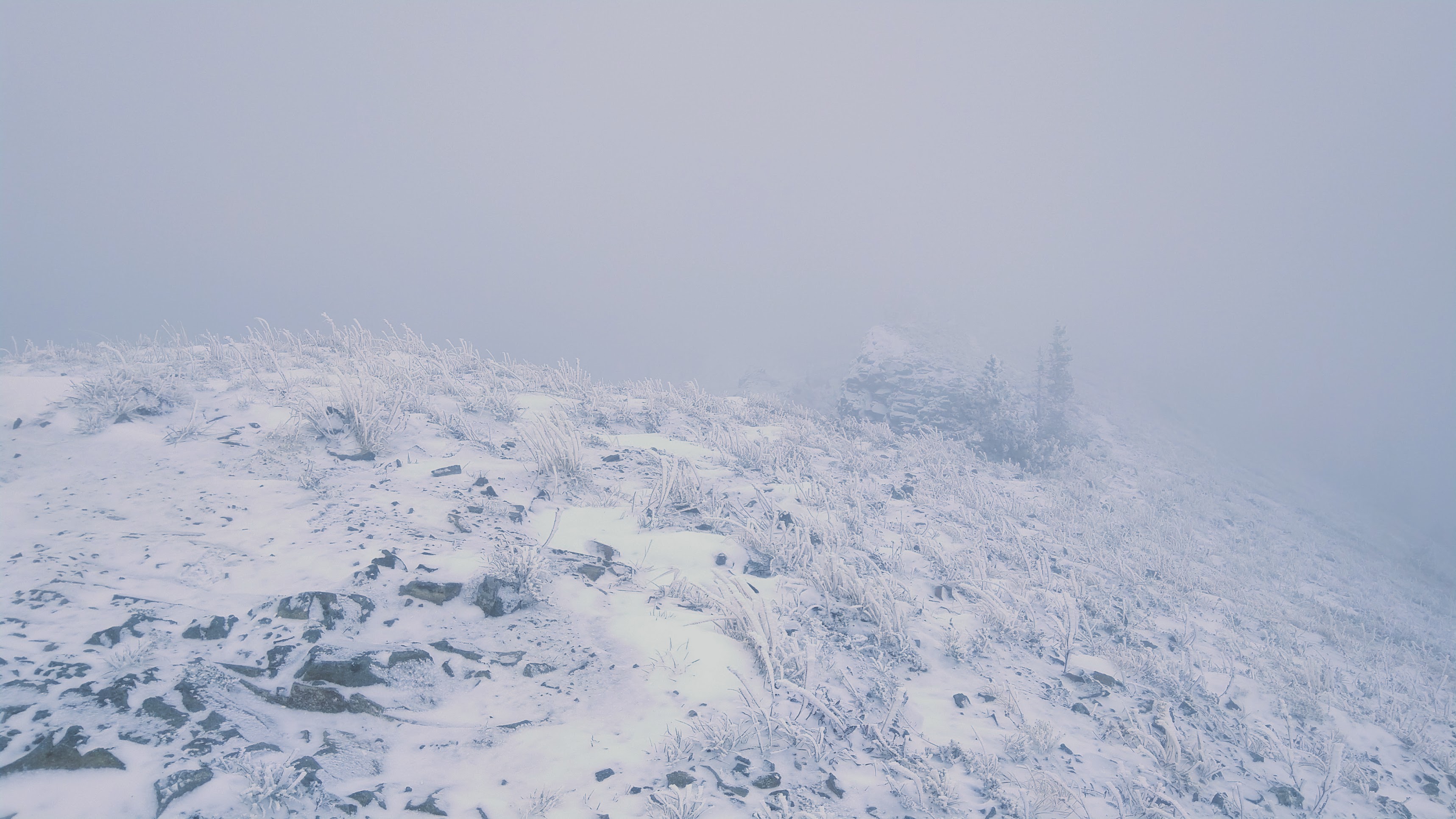
False summit (Juniper is straight ahead but visibility was "not great")
The actual peak of Juniper is a triangle of rock that juts out from the main trail. There appeared to be a user trail up it, though I couldn't completely tell due to snow. It was easy to walk up, though I kept back from the edge due to the wind.
I only managed to get one pic at the summit before my hand froze. Time to head down.
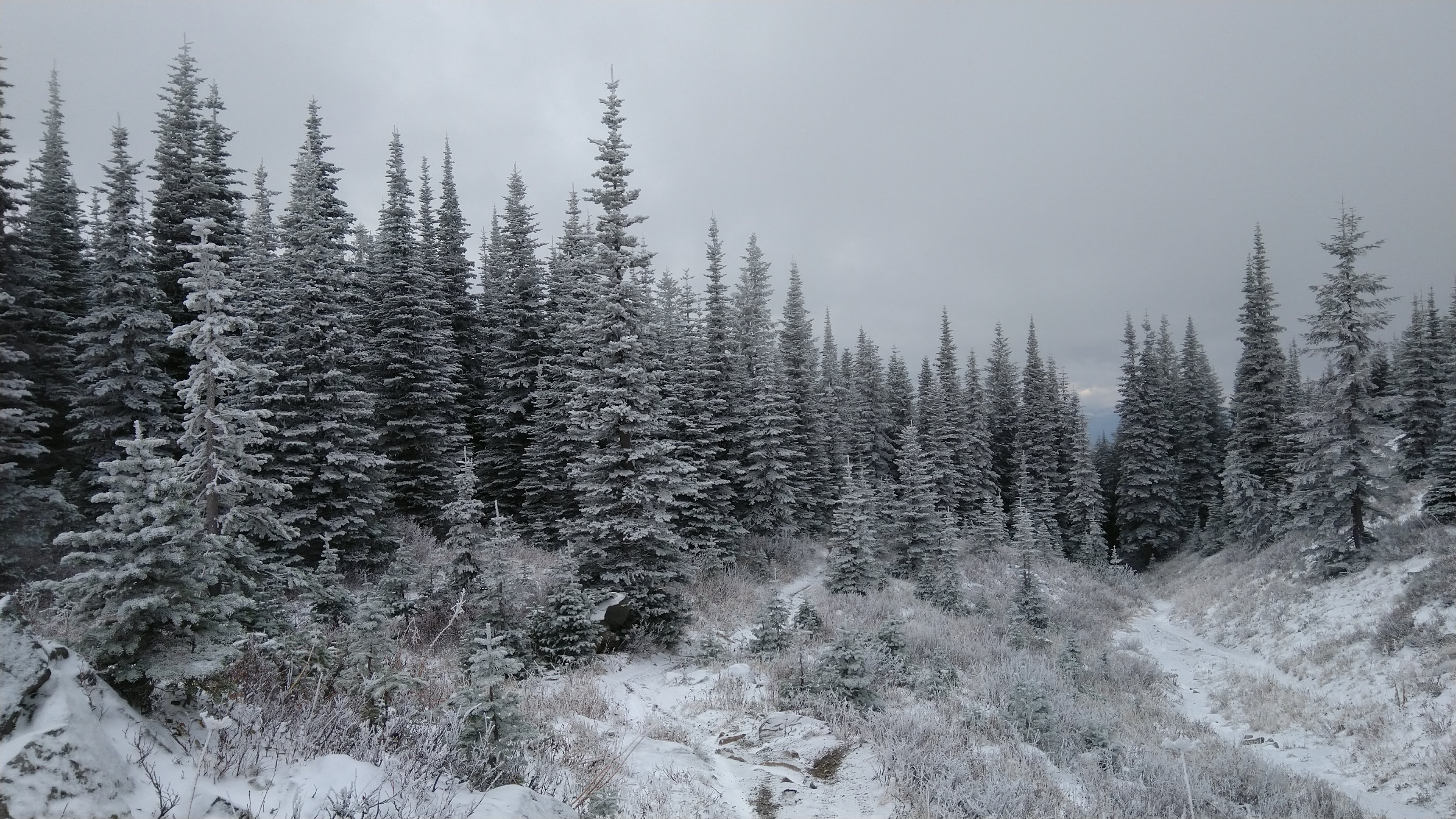
Trail back down below the summit.
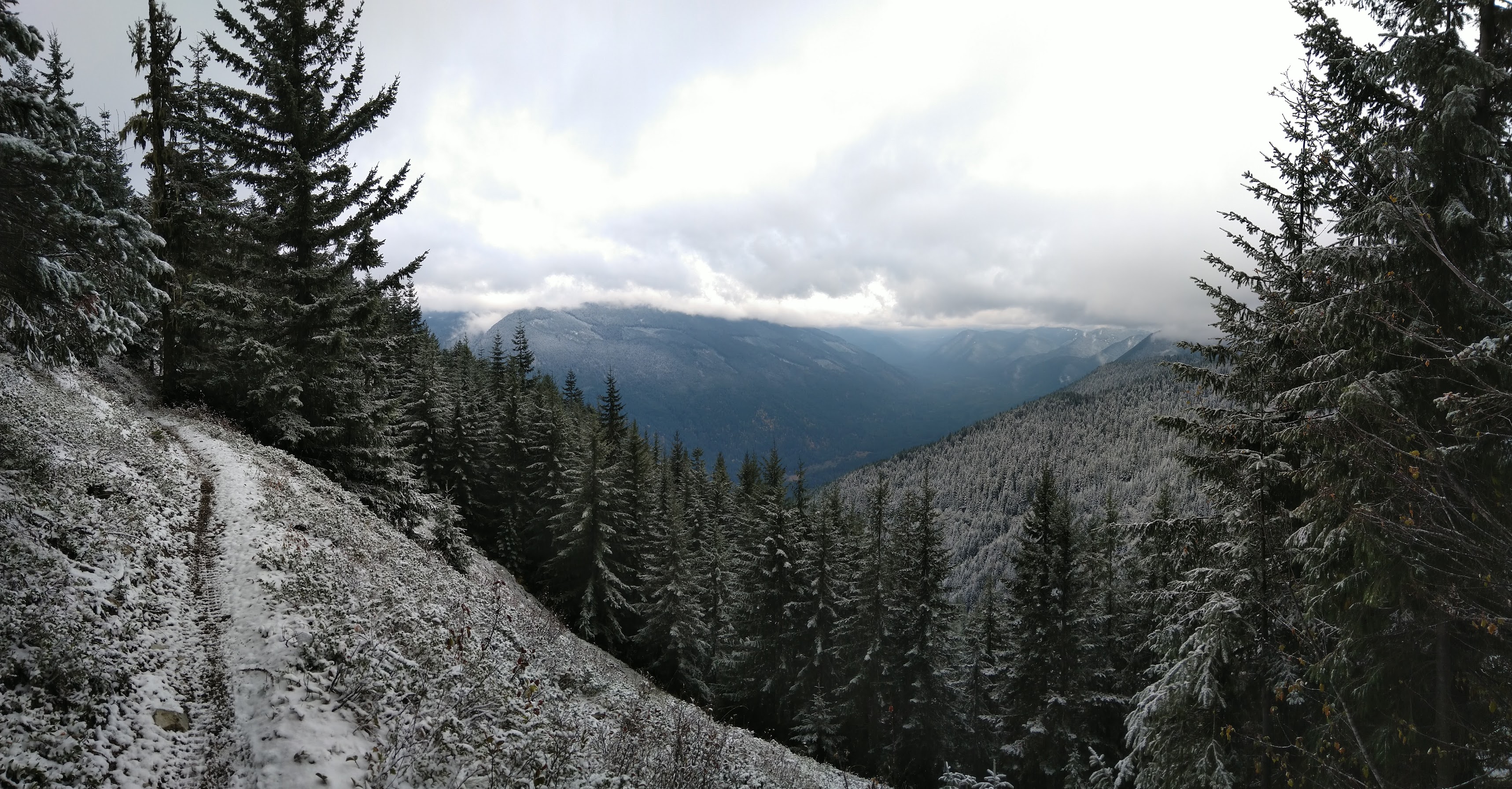
Things brightened a little on the way down once I dropped below the cloud layer.
I opted to walk the 2904 road back down to the car rather than go back uphill and then descend the abandoned trail. (If I were to do this again I would probably skip that trail completely except in dry conditions.) I'm guessing at least single digit windchill up top; it was 36º when I got back to the car. Zero other people seen. Winter is coming...
I parked at the lower trail off 2904, below Tongue. Per the USFS map, this doesn't exist; Caltopo Mapbuilder layer shows it, but whatever it is, it appears to be abandoned. (The first part is an old road, and is probably the 604 road spur that shows up on the USFS map but is misaligned - it becomes a trail after that.) It was a bit overgrown and there was some blowdown, so my feet and pants got wet from last night's rain as I climbed towards the snow line (an auspicious start!). Up at the main 294 trail, I turned up the hill to Tongue. I've been meaning to get up here for years and would love to climb Tongue - it looks like a pretty simple scramble from the saddle up top, but the exposure and fall line are severe, so in these conditions, no way. My wet pant cuffs proceeded to freeze while I took pics, which was fun.
View south - the long right-trending ridge is the ridge coming off pt 5227, north of Juniper; I believe the rocky bump on the ridge behind and right is Langille Pk.
After this, I retraced my steps to 294 and followed it down to the upper TH, then continued on the Juniper Ridge trail. It's in fine shape, though the dirtbike V-rut is annoying. (But they maintain the trails out there, so that's the trade off.) Things got increasingly cold and rimed until I reached the shoulder of Juniper, which was being plastered by a frozen wind.
False summit (Juniper is straight ahead but visibility was "not great")
The actual peak of Juniper is a triangle of rock that juts out from the main trail. There appeared to be a user trail up it, though I couldn't completely tell due to snow. It was easy to walk up, though I kept back from the edge due to the wind.
I only managed to get one pic at the summit before my hand froze. Time to head down.
Trail back down below the summit.
Things brightened a little on the way down once I dropped below the cloud layer.
I opted to walk the 2904 road back down to the car rather than go back uphill and then descend the abandoned trail. (If I were to do this again I would probably skip that trail completely except in dry conditions.) I'm guessing at least single digit windchill up top; it was 36º when I got back to the car. Zero other people seen. Winter is coming...


