
I still believe that the 41 mile Timberline Trail around Mt Hood is the finest backpacking loop in America. This was my 4th year to take on the Timberline, which I use as my age/health meter, and I am pleased with how my old body held up this year. Bryce again joined me for this year's trek, we failed on our attempt last year in mid June due to snow and weather.

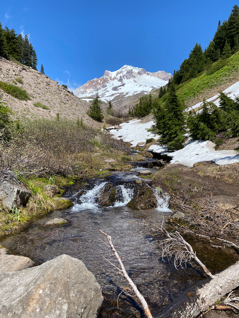
Zig Zag Canyon
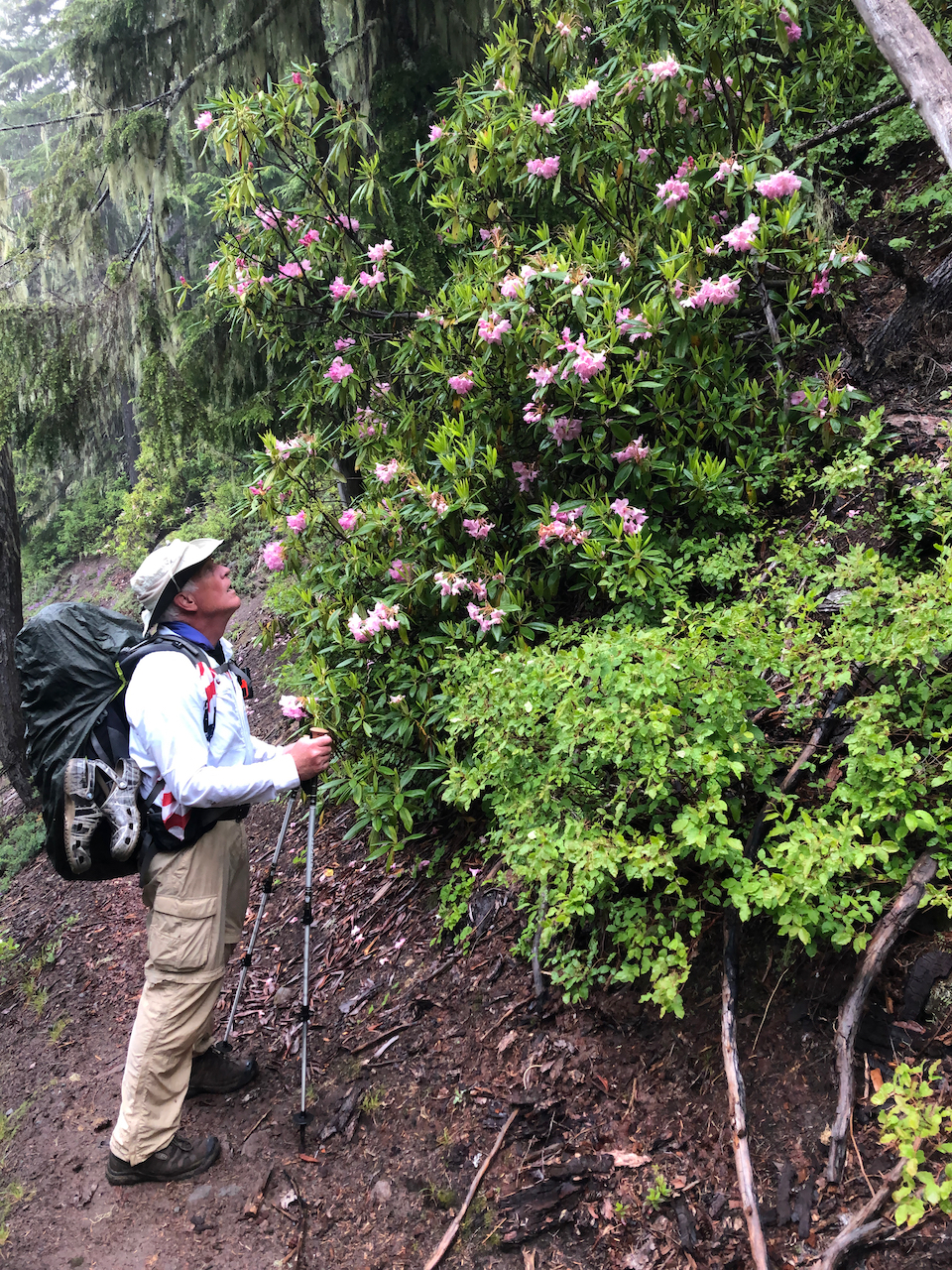
This year's trek started out with beautiful weather for the view from Paradise Park. I had already decided that I wanted to checkout the most western campsite at Paradise Park located next to some tree cover. This turned out to be a fortuitous decision since a heavy wet fog moved in just as we had finished setting up camp. The trees gave us some relief from the wet fog but by morning it didn't really matter, everything was damp and we were set for hiking in a mist. On the trail you quickly adapt to being cold and wet which actually serves as a great motivator for knocking off miles. The emerging Rhododendrons on the lower trail help as well.
Your first concern is making it across the Sandy river, this year we got advice to go up stream where there were a couple of small logs providing a dry crossing. By now it was essentially raining so passing through an empty Ramona Falls was not as inspiring, but Ramona Falls is still one of the most beautiful places on earth. Now begins the most challenging part of the trek, climbing about 2400' over 8 miles taking the upper route but cutting over before Bald Mountain. I had hoped to go all the way to McNeil Point but the rain and low cloud cover nixed that option. We opted to camp at Glisan Creek because we saw a couple of spots that were relatively dry under the trees.

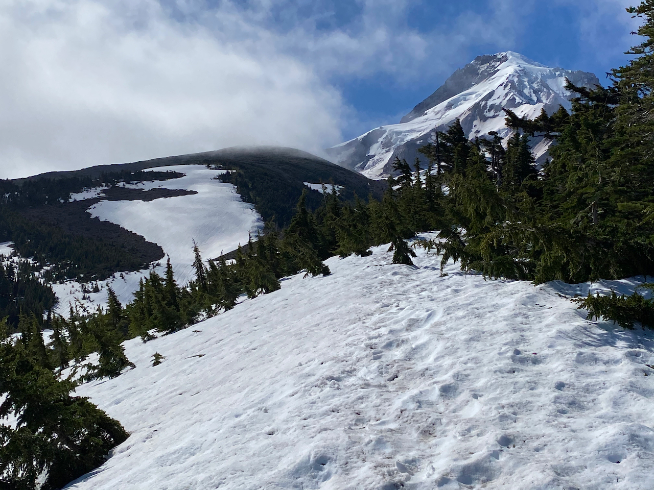
We awoke to blue skies with great anticipation to be warmed by the sun. The goal for the day was to get past Cloud Cap, maybe even go up to Cooper Spur, however, this next section was going to be physically challenging for our tired bodies. We hiked over a lot of snow but unlike last year there had been plenty of people before us to set the trail.
Some of the stream crossings presented you with a decision to trust using the snow bridge, but no real danger.
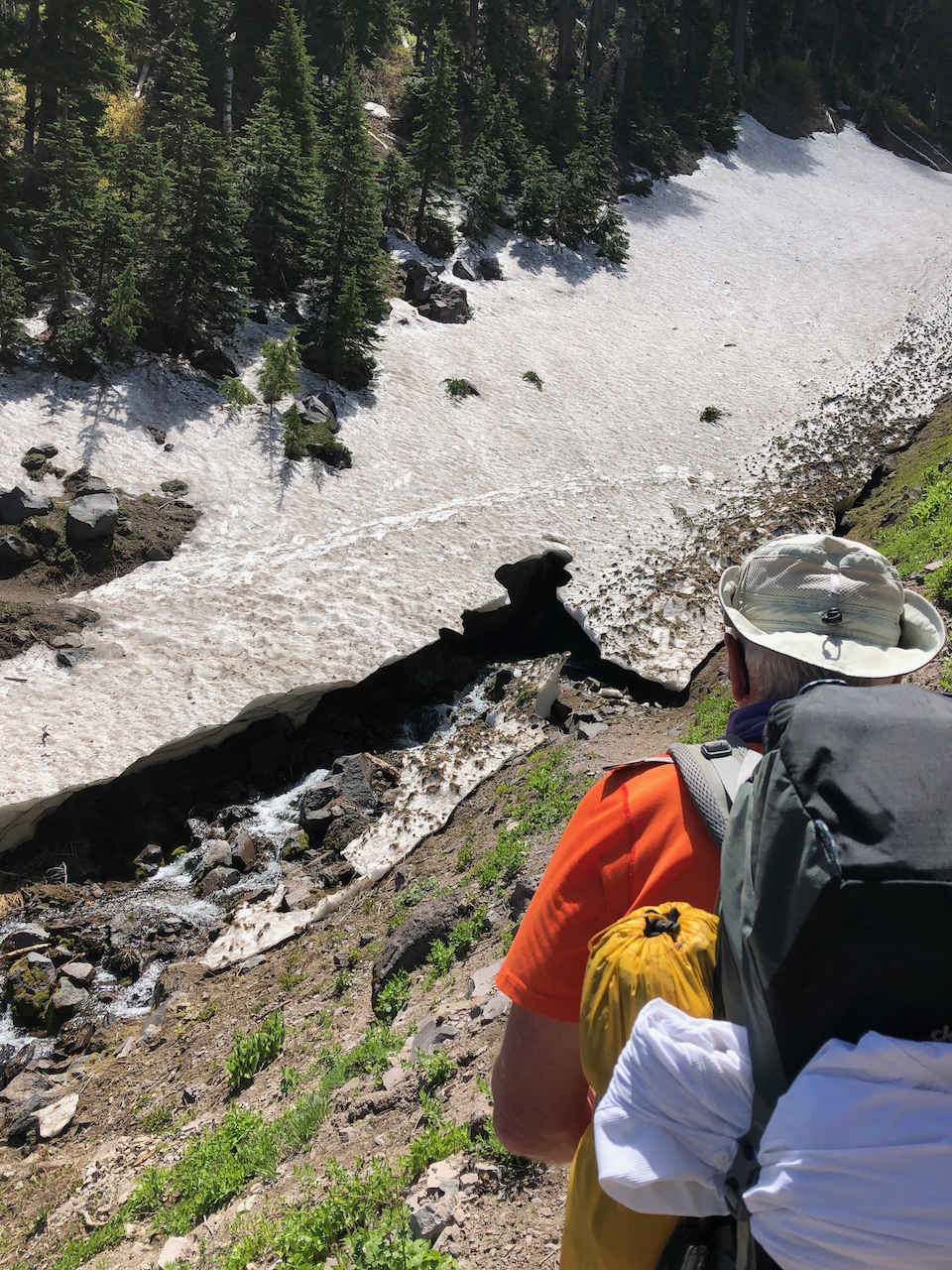
This day was crystal clear giving us some of the best photos I have of the north side of Mt Hood. The challenge for the day was crossing Eliot Creek and it was not about the creek crossing but instead about getting down to the creek. The water was running high probably from the previous day's rain and the sunny day so it was not obvious where we would cross. There is a huge tree that provides an excellent bridge down from the trail entrance, however, you do not see that crossing option at first.
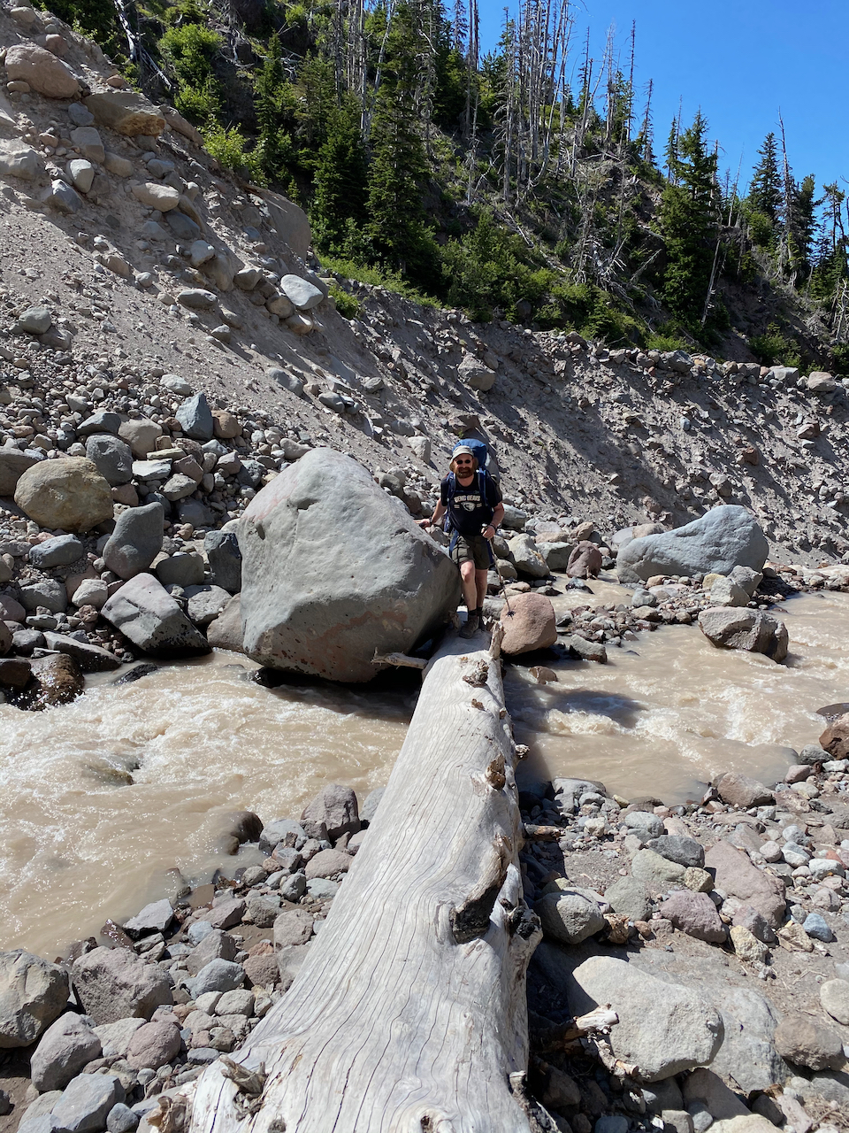
This is the canyon where the trail had to be rerouted in 2017 due to a slide. The 20 feet or so of drop off to the creek is a mixture of loose dirt, rocks and boulders. Getting from the trail entrance to the log bridge crossing was flat out dangerous. You could not trust any rock to step on and when a large rock started to slide you had be be extremely careful not to get dragged along with it. I don't remember this descent to the stream ever being so loose, maybe it is just an early season issue. But somebody could get killed here, so I think it is time for some sort of a reinforced trail down to the stream. Now the climb up to Cloud Cap and all was good. As we climbed east from Cloud Cap our weary bodies enticed us to camp near the head of Tilly Jane Creek in a really nice sandy area. We were able to dry everything out and enjoy a wonderful evening underneath Mt Hood.

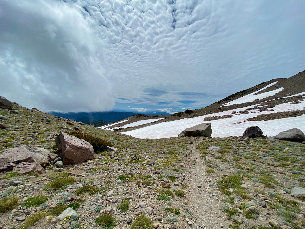
Morning broke with more beautiful weather motivating us for our climb above treeline over high point which is one of my favorite areas. The weather was all over the place with sun and fog but it was a great temperature for the climb.
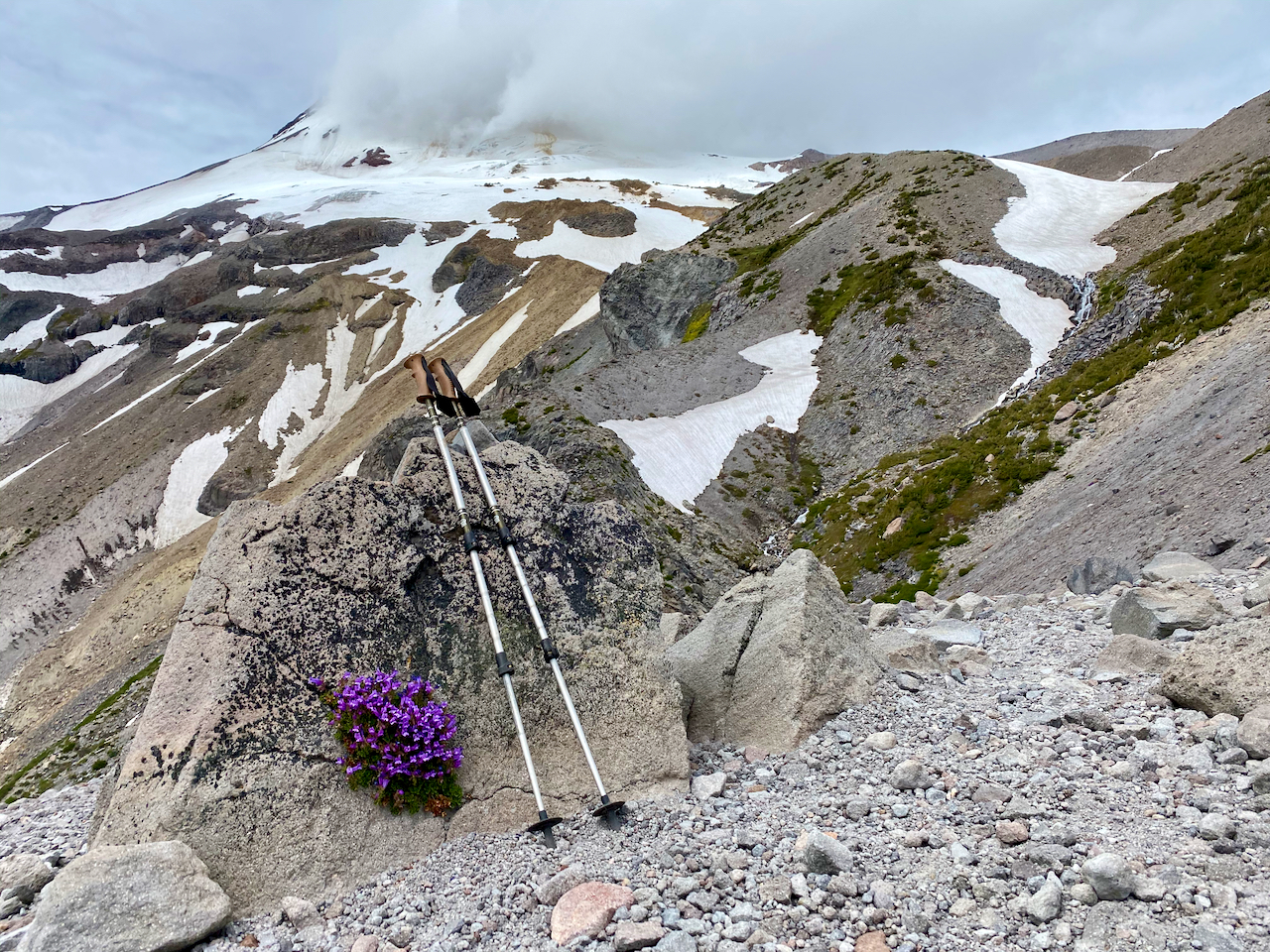
And then you descend down Gnarl Ridge to Newton Creek which presents a unique landscape of a really harsh existence for vegetation.
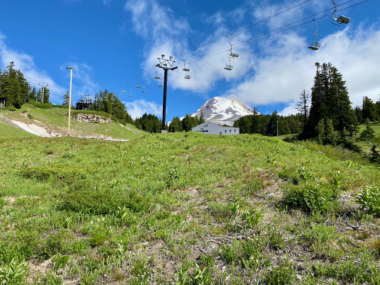
The Newton Creek campsites are excellent and within an easy distance to hike the following day, however, I thought that I remembered a spot near the upcoming waterfalls. Unfortunately just after we left Newton Creek it started to rain and I was not finding those campsites so we ended up camping between Gemini and Voyager ski runs in Mount Hood Meadows Ski Area. The campsite worked out just fine and set us up for a relatively easy final day hike back to Timberline Lodge. I do love hiking through Mt Hood Meadows Ski envisioning how I will ski down those runs next winter.
Crossing the White River was more difficult then I remember, but it was a beautiful day.

The 1000' climb up to the parking lot always seems tough but the motivation of your reward,
this year Halibut Fish & Chips, at the Barlow Trail Roadhouse, puts a hop in your step.
You can view the entire post with many more photos at: https://adventurecontinues.org/2020/07/ ... trail-2020


