Hells Canyon: 7/8/20-7/9/20

This forum is used to share your experiences out on the trails.
Post Reply
User avatar
Born2BBrad
Posts: 1086
Joined: May 1st, 2011, 7:26 pm
Location: The Dalles

Hells Canyon: 7/8/20-7/9/20

Post by Born2BBrad » July 10th, 2020, 7:46 pm

What: Backpacking Hells Canyon Rim
When: 7/8/20-7/9/20
Who: Just Me (Born2BBrad)

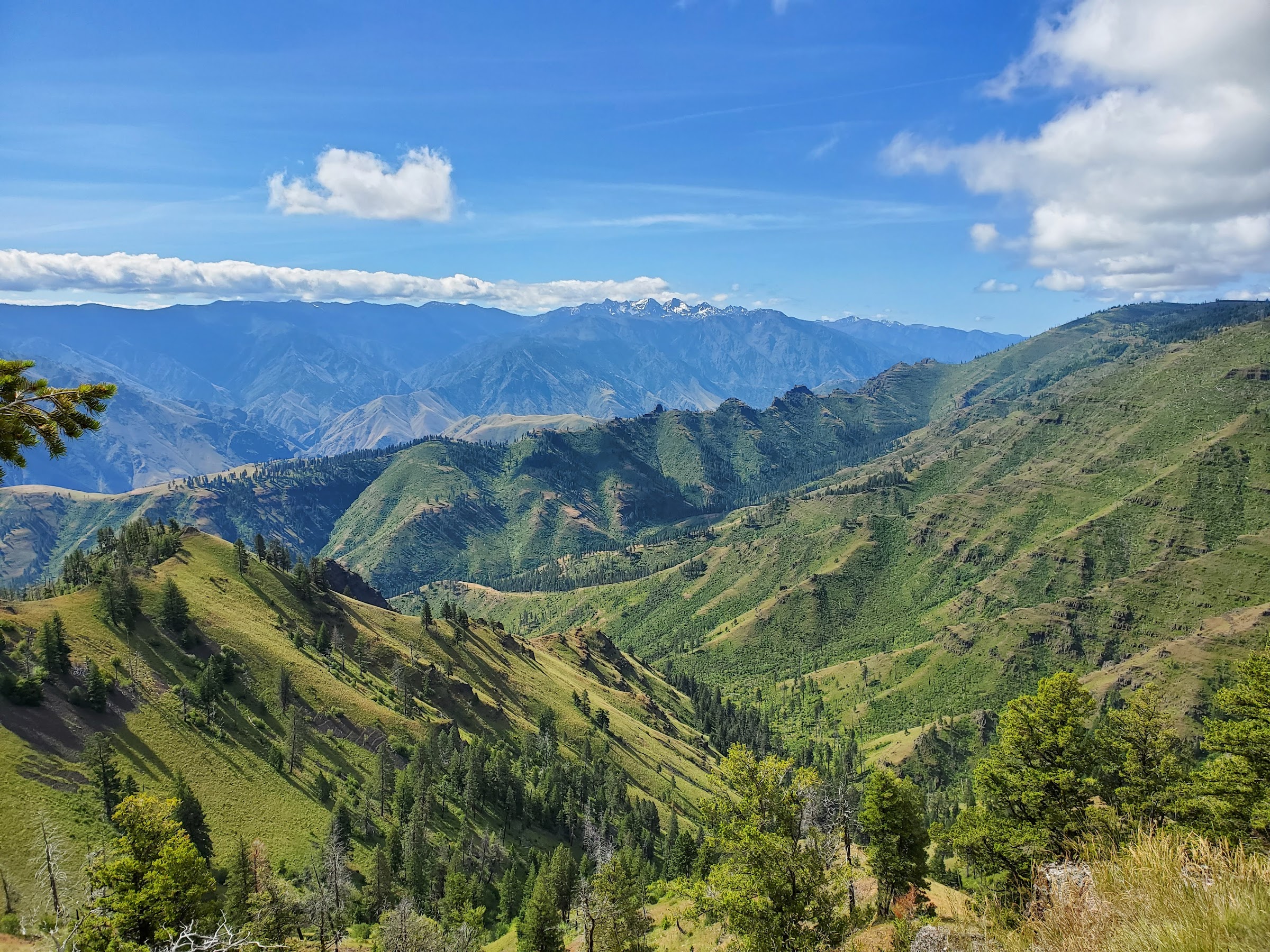
Opening picture, view from LeBlanc Point:
Image

-----------------------------------------------------------------------------------
General Information

WARNING!!! Lots of pictures. Nature’s eye candy

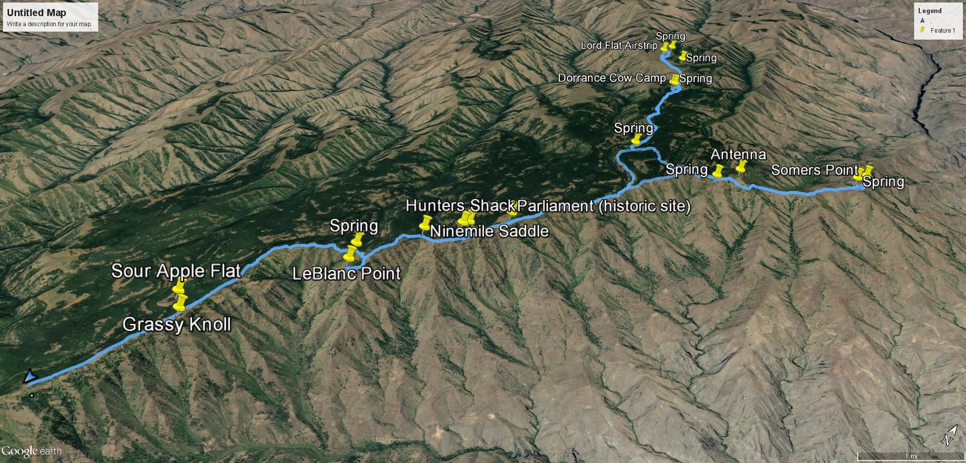
Route: Parked 2 miles north of Warnock TH (6580’), followed Western Rim National Recreation Trail (aka Lord Flat Road) all the way to Lord Flat airstrip (5577’), backtracked to Mikes Cabin Trail, then over to Kneeland Trail, over to Somers Point (5675’), back to Western Rim National Recreation Trail all the way to the car

Miles: 40.4 (GPS)
EG: 5581’ (GPS)
People encountered while hiking: 6
Number of mosquito bites: 0
Number of elk seen: 50+

Google Earth overview:
Image

Elevation profile:
Image

Google Earth video tour of trip (4:16 minutes):


Link to video on YouTube:
https://www.youtube.com/watch?v=Uahg1VHCCRM


-----------------------------------------------------------------------------------

Trip Narrative and Pictures

Looking for a social distancing trip, I looked to NE OR once again. The goal was to repeat this trip. That and to locate some more springs.

My own personal trailhead:
Image

The previous night I slept at Hotel Subaru at the Warnock Corral trailhead. An older couple in a Jeep Rubicon drove by, continuing on Lord Flat Road. The next morning, while slowly driving two more miles, I came across the couple walking on the road. Apparently their car broke down 1/3 of a mile down the road. They were surprised to see a Subaru make it that far, but I knew that was as far as my car could safely make it. We had a nice conversation, and they both were very familiar with the area, with the man mentioning he comes out there 10-12 times a year. He also mentioned living in Enterprise. After parting ways, I got to thinking that he may have been hiking book author Fred Barstad. That will only mean something to a handful of people reading this. Oh yeah, in case you were wondering, they had called their son who was coming to render aid. I did not abandon them.

Broken down Jeep:
Image

After only hiking 30 minutes I spooked a herd of elk:
Image

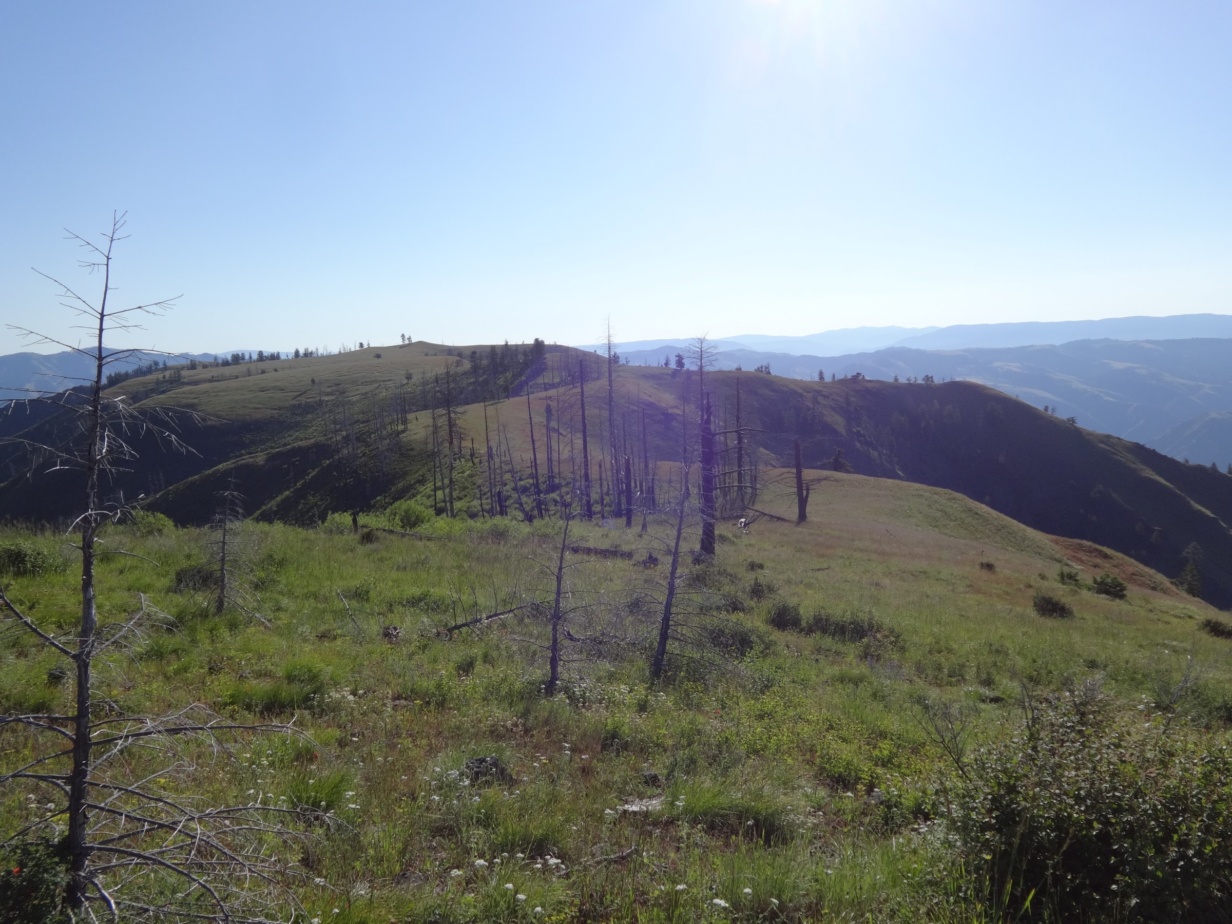
You’ll be seeing lots of pictures of the Seven Devils on the Idaho side:
Image

No surprise, Grassy Knoll is covered in grass:
Image

The Snake River is over 5000’ down there:
Image

LeBlanc Point in the middle of the picture:
Image

View from LeBlanc Point:
Image

Spring just before LeBlanc Point. Most springs are like this:
Image

Somebody does road maintenance way out here every year. Thank you!
Image

Stich pic of one of the drainages:
Image

Run down hunters shack:
Image

I think I’d rather sleep outside in a tent:
Image

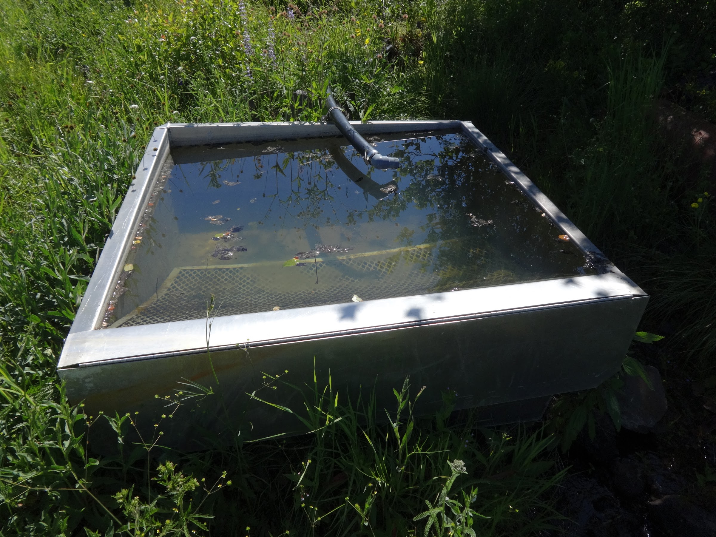
At least there is a spring nearby:
Image

The spring source is in a metal box with this written on the lid:
Image

Bear scratches on a tree maybe?
Image

This area is called Parliament. It is noted as a historical site. Not sure why:
Image

Lots of cool old trail marker cairns:
Image

OK experts out there, what kind of print is this?
Image

OK bird nerds, what kind of bird feather is this?
Image

On the way to Lord Flat:
Image

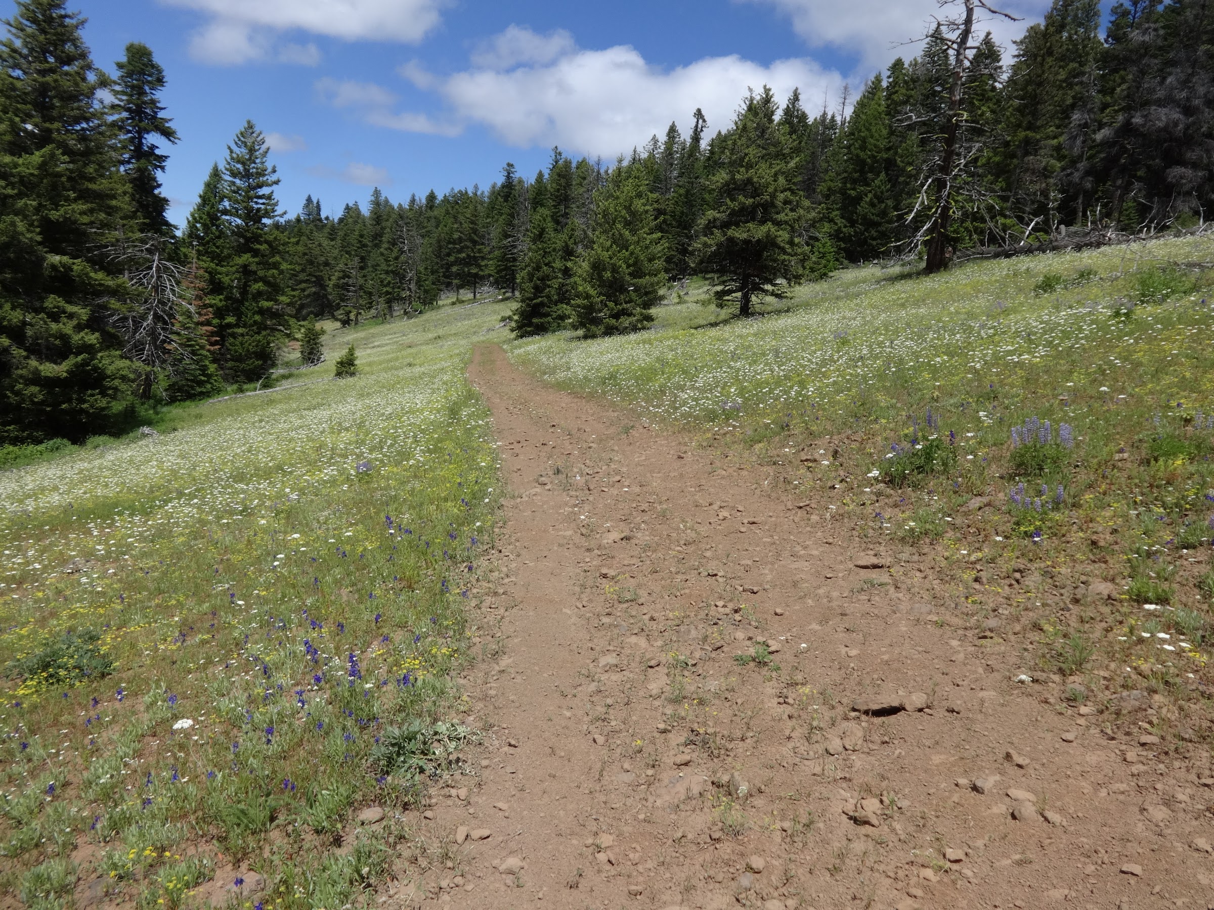
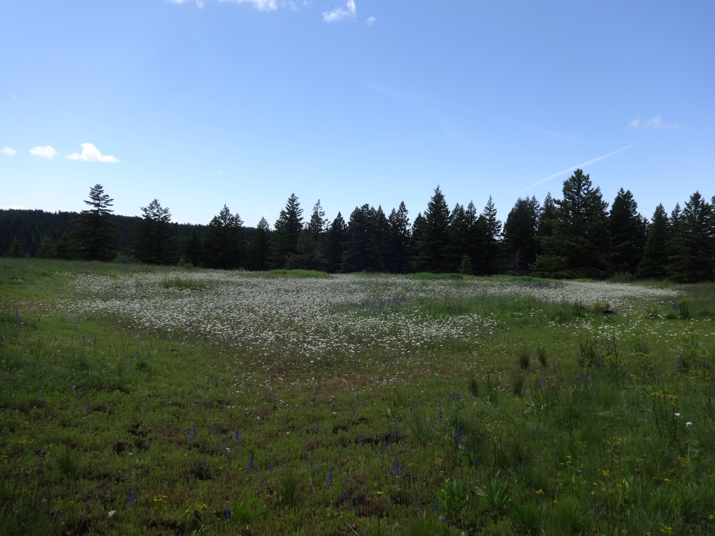
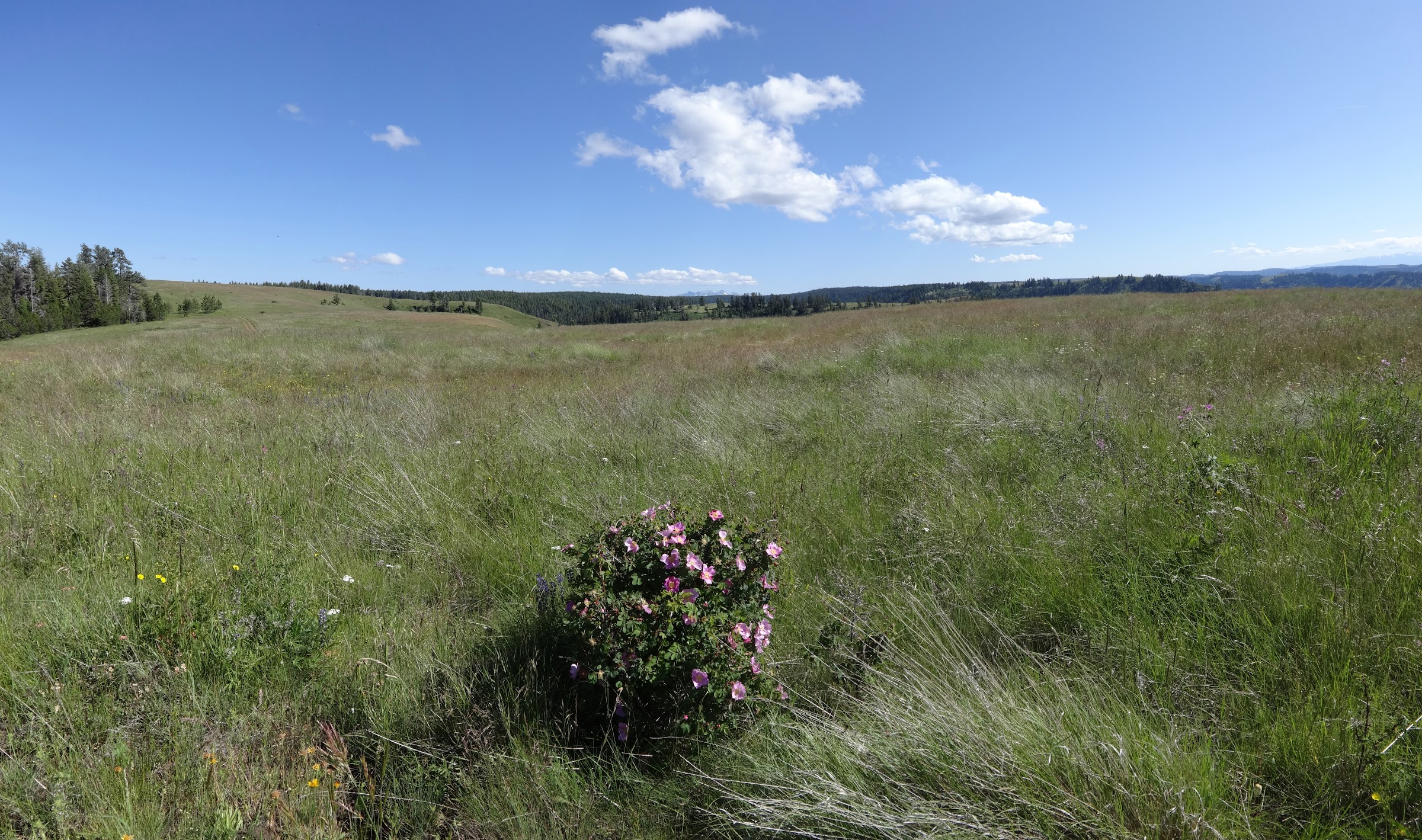
One beautiful meadow after another on the way to Lord Flat:
Image

One meadow after another:
Image

There was a meadow full of spent balsamroot where a chipmunk had gathered balsamroot seeds:
Image

Dorrance Cow Camp was not reserved this year. Probably because of Covid-19:
Image

The main house at the camp:
Image

No one was there, the door was unlocked, so I checked it out:
Image

Steps to take to close up the main house. They missed the “lock up” step:
Image

There were 3M masks there! Probably so cow punchers and their guests can be safe:
Image

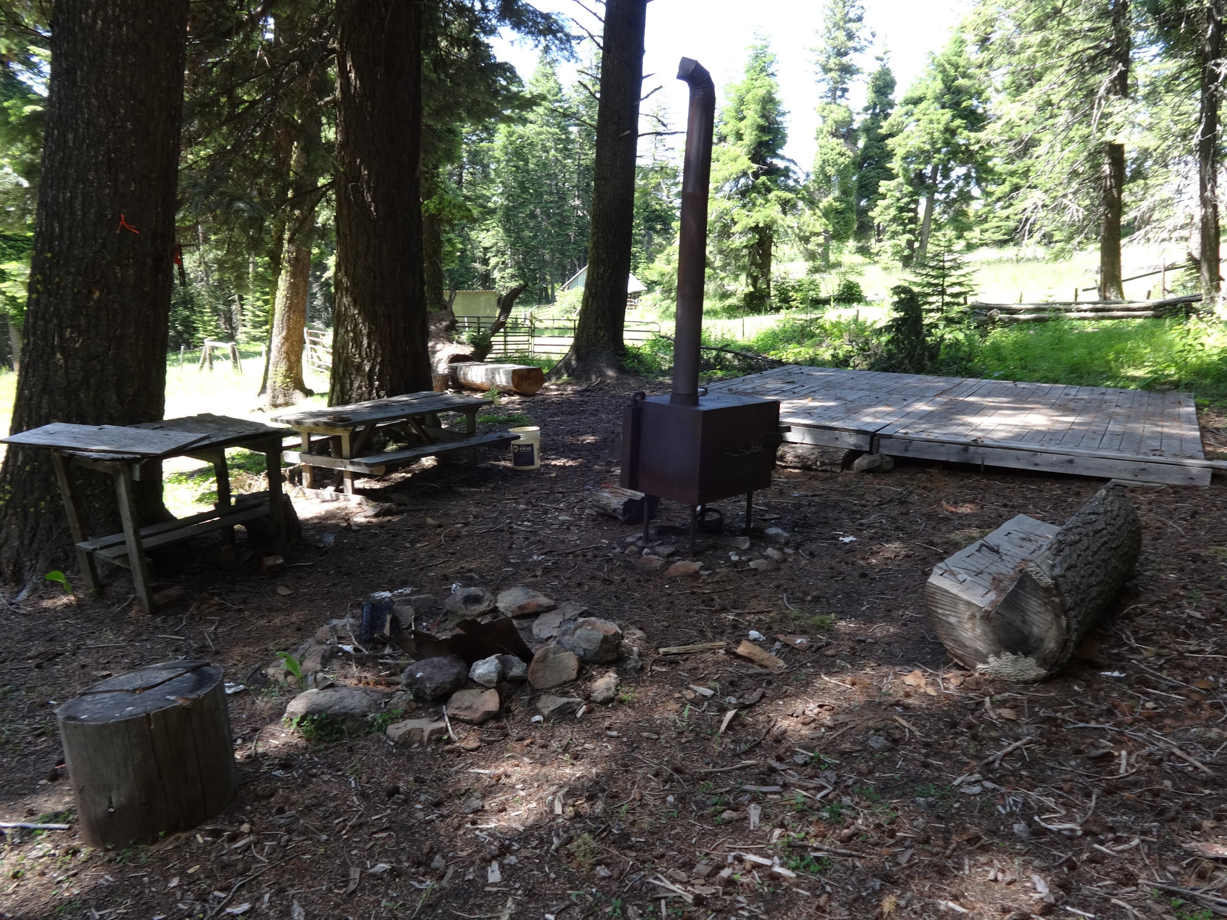
At the camp were amenities such as a piped spring, stove, fire pit, tables and even a stage:
Image

Now on the way to Lord Flat the view is almost all open meadow:
Image

When I was nearing Lord Flat, I heard something behind me. It was 6 people in 3 Polaris OHVs. Yes, motorized vehicles are allowed all the way to Lord Flat. They were nice people that had camped at the Imnaha RV campground and driven their OHVs from there up to Lord Flat.

OHVs on Lord Flat Road:
Image

Sign at Lord Flat airstrip:
Image

Someday I may camp at Lord Flat, so one goal was to find the nearby spring, which I did:
Image

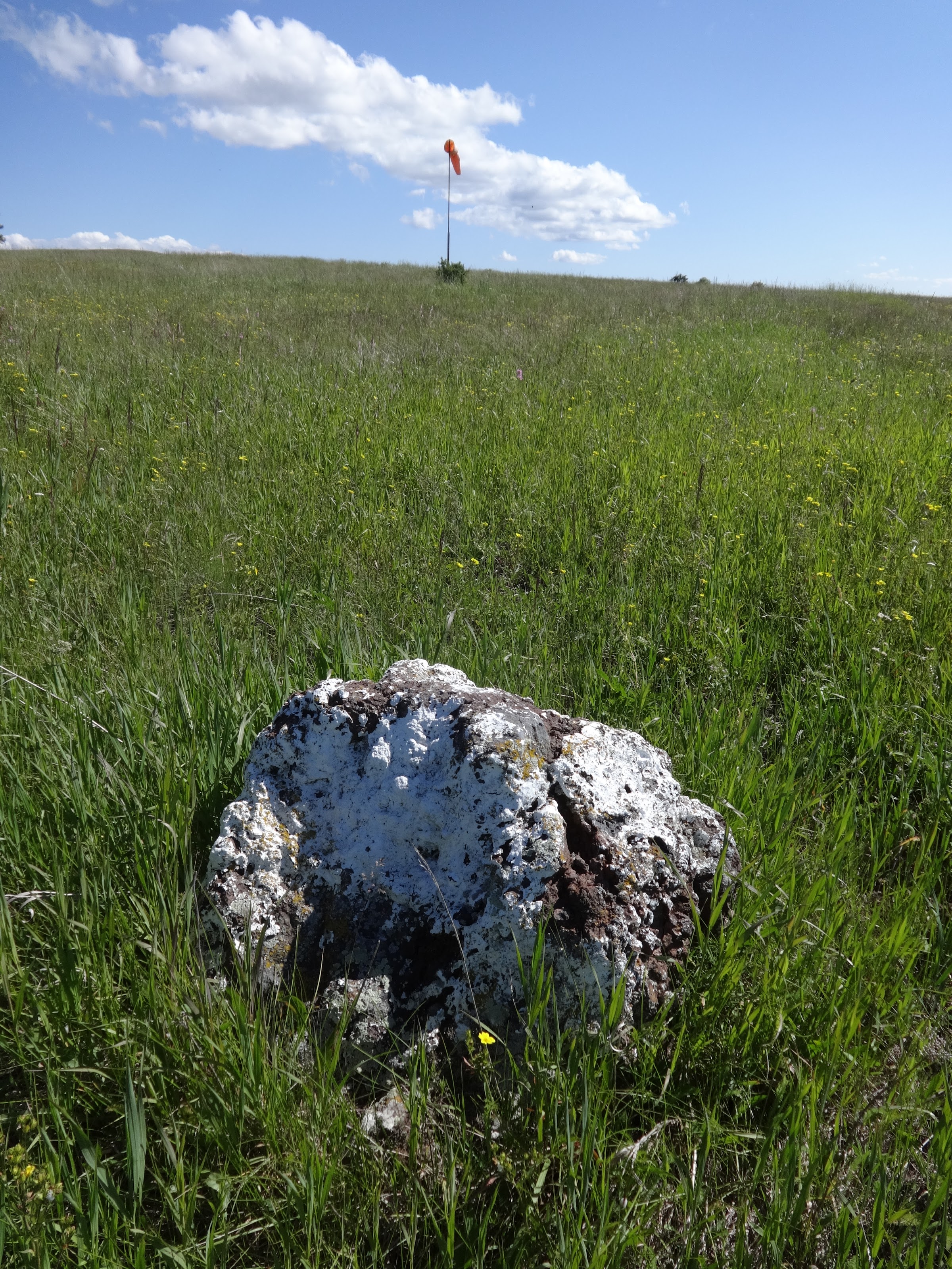
The rocks next to the airstrip are painted white. At first I thought it was bird poop:
Image

It is one rough airstrip. The takeoff and landing must be bumpy:
Image

Someone left a sled there:
Image

Stitch pic on the way back:
Image

Campsite along the way to Somers Point:
Image

One of the most wonderful things ever is the sun hitting your tent on a cold morning:
Image

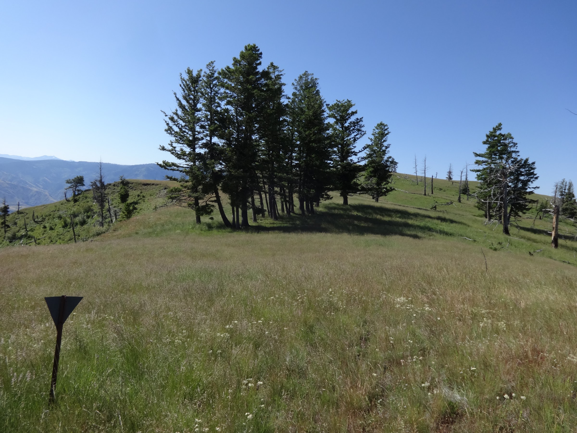
Somers Point is way over on the other side of that far hill:
Image

Nearing Somers Point I started seeing dozens of elk bed down spots:
Image

Then suddenly there they were:
Image

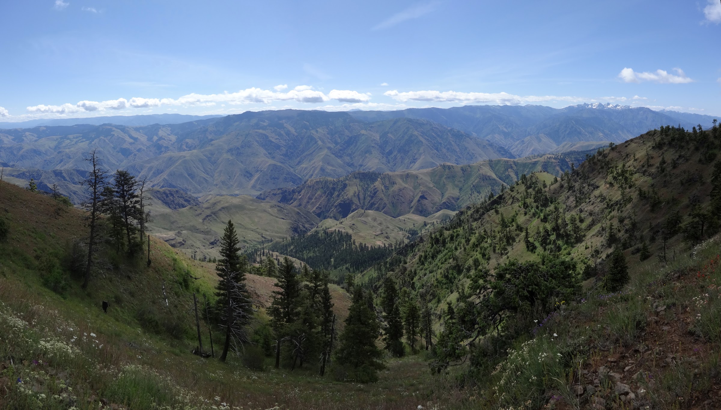
View from Somers Point, looking down at Pittsburg Landing:
Image

Finding the spring at Somers Point was another completed goal:
Image

Who’s that good looking guy? Whoever he is he needs a shave:
Image

On Somers Point there is a great campsite in those trees:
Image

I think this tree looks cool:
Image

What a great resting spot on the way back:
Image

Wow! If this were black and white, it could be an Ansel Adams picture:
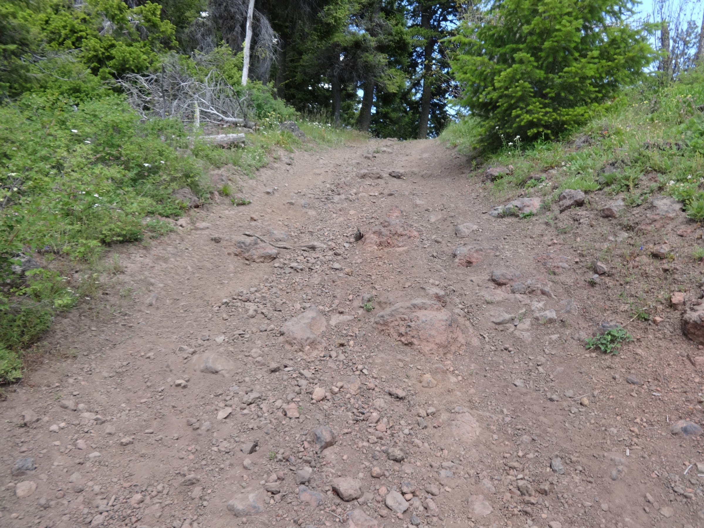
Image

Rough road pic #1:
Image

Rough road pic #2:
Image

Grassy Knoll again:
Image

That’s it for the pics!

----------------------------------------------------

Final Notes

• The road after the turnoff to Hat Point should not be attempted by a standard passenger car. I barely made it to Warnock Corral in my Subaru Outback. Two miles after Warnock Corral, only high clearance 4WD vehicles with 10 ply tires should continue.
• 4G cell signal at Warnock Corral and on Somers Point. No signal at Lord Flat. Signal seemed to be only on the side facing Idaho.
• Took a few pics with my smart phone. Way better that my old point and shoot camera.
• NE OR got much more snow than average and it shows. The Minam and Wallowa Rivers were higher than I’ve ever seen. The inner peaks of the Wallowas look to have a lot of snow still.
• An 8 hour drive from The Dalles to Warnock Corral.
• The flowers were abundant and everywhere. Too many to identify or post pictures of. Check out the Google Photos link if you are curious.
• The section of Mikes Cabin Trail where is crosses Deep Creek is a route finding nightmare. Much of that trail is difficult to find.
• The section of Lord Flat Road from Mikes Cabin Trail to Lord Flat is one of the most beautifully scenic places I have ever been to. It’s a good thing it’s hard to get to.

Link to lots more pictures on Google Photos:
Link 1: https://photos.app.goo.gl/bCWVRTPsDcDcfoJg6
Link 2: https://photos.google.com/share/AF1QipO ... NlOXlwSDRB

Keep on hiking,

Brad
Make now always the most precious time. Now will never come again.
- Jean Luc Picard

Link to GPX tracks
Link to Trip Reports

User avatar
BurnsideBob
Posts: 538
Joined: May 6th, 2014, 3:15 pm
Location: Mount Angel, Oregon

Re: Hells Canyon: 7/8/20-7/9/20

Post by BurnsideBob » July 10th, 2020, 8:43 pm

Very awesome trip report. I have hiked the 7 Devils, but not the Oregon side. Thanks for sharing your adventure.

BurnsideBob


The track. Most likely a bobcat, hind leg. https://www.bear-tracker.com/bobcattrackphotos.html

The feather. Most likely a great horned owl primary flight feather.

https://www.google.com/imgres?imgurl=ht ... egUIARCZAg
I keep making protein shakes but they always turn out like margaritas.

justpeachy
Posts: 3068
Joined: May 28th, 2008, 10:03 pm
Location: Portland, OR
Contact:

Re: Hells Canyon: 7/8/20-7/9/20

Post by justpeachy » July 11th, 2020, 7:41 am

Great trip report and photos! Love the message from Barry Gibb on the lid. :D

Is that an area with a lot of ticks?

bushwhacker
Posts: 166
Joined: September 7th, 2009, 3:56 pm
Location: Troutdale

Re: Hells Canyon: 7/8/20-7/9/20

Post by bushwhacker » July 11th, 2020, 4:27 pm

I am not sure what's more impressive. The views or the fact you drove and hiked that many miles for an overnight backpack :D .

I haven't been to that part of the Western Rim Trail but have done the part out of PO Saddle. Guess I'll have to make a trip there now too. It looks like the South end is more 'jungleie' (probably not a real word). Not sure how often they maintain that part but if you time if wrong you spend a lot of time climbing over logs plus there are other types of critters down there. It appear the North part if more open savanna then the South part. Can you imaging what a zoo that place must be during hunting season with all those elk.
largewoodchuck.jpg
Anyway nice report and excellent pic's.

Webfoot
Posts: 1765
Joined: November 25th, 2015, 11:06 am
Location: Troutdale

Re: Hells Canyon: 7/8/20-7/9/20

Post by Webfoot » July 11th, 2020, 7:05 pm

Wow, great report. It's almost like being there, but I still need to get there in person!

User avatar
drm
Posts: 6154
Joined: May 28th, 2008, 10:03 pm
Location: The Dalles, OR
Contact:

Re: Hells Canyon: 7/8/20-7/9/20

Post by drm » July 12th, 2020, 7:03 am

I hiked out to Somers Point some years ago, didn't have any trouble driving to Warnock then, but noted that the road would not be passable after that to AWD. But I hiked down from Somers and then across and back up to Warnock, a difficult route then, probably worse now.

User avatar
Born2BBrad
Posts: 1086
Joined: May 1st, 2011, 7:26 pm
Location: The Dalles

Re: Hells Canyon: 7/8/20-7/9/20

Post by Born2BBrad » July 12th, 2020, 11:48 am

BurnsideBob wrote:
July 10th, 2020, 8:43 pm
The track. Most likely a bobcat, hind leg. https://www.bear-tracker.com/bobcattrackphotos.html

The feather. Most likely a great horned owl primary flight feather.

https://www.google.com/imgres?imgurl=ht ... egUIARCZAg
Thanks for the ID. I thought the track was a feline vs. canine.
justpeachy wrote:
July 11th, 2020, 7:41 am
Is that an area with a lot of ticks?
In all previous trips to Hells Canyon, not a single ticks has been seen. This last trip I saw one on my pants. All my summer hiking clothes are soaked in permethrin as a precaution.

One would think with all the elk and deer, and all the grass that there should be ticks there.
bushwhacker wrote:
July 11th, 2020, 4:27 pm
I am not sure what's more impressive. The views or the fact you drove and hiked that many miles for an overnight backpack :D .
I don’t mind driving that long for great views and solitude. Even though I only spent one night in a tent, there were two full days on the trail encompassing a large area.
bushwhacker wrote:
July 11th, 2020, 4:27 pm
It appear the North part if more open savanna then the South part. Can you imagine what a zoo that place must be during hunting season with all those elk.
Yes, the north part has many meadows and open grassland, but still plenty of forested area. Based on all the hunter camps and from other sources, and from the large elk population, it is likely hunting season is very busy there. After all, high clearance vehicles and OHVs can make it all the way to the end of the road.
Webfoot wrote:
July 11th, 2020, 7:05 pm
Wow, great report. It's almost like being there, but I still need to get there in person!
I highly recommend making a trip out there.
drm wrote:
July 12th, 2020, 7:03 am
I hiked out to Somers Point some years ago, didn't have any trouble driving to Warnock then, but noted that the road would not be passable after that to AWD. But I hiked down from Somers and then across and back up to Warnock, a difficult route then, probably worse now.
I remember your TR of that trip. Someday I will explore more of the High Trail with the knowledge the trail will be bad to non-existent. No much trail maintenance out there.
Make now always the most precious time. Now will never come again.
- Jean Luc Picard

Link to GPX tracks
Link to Trip Reports

User avatar
drm
Posts: 6154
Joined: May 28th, 2008, 10:03 pm
Location: The Dalles, OR
Contact:

Re: Hells Canyon: 7/8/20-7/9/20

Post by drm » July 12th, 2020, 12:05 pm

Ticks are hot and cold in Hells Canyon. I did a backpack last year. My entire long day hiking into camp I didn't get one. The next day I did a shorter dayhike from camp and had a bunch of them to remove (none had broken skin yet). There wasn't a clear reason why one area had none (at least on me) and the other had a lot. Lord Flat road is actually a road so the risk there would be low, until you head off into any of those meadows.

User avatar
bobcat
Posts: 2768
Joined: August 1st, 2011, 7:51 am
Location: SW Portland

Re: Hells Canyon: 7/8/20-7/9/20

Post by bobcat » July 13th, 2020, 4:26 pm

Splendidly detailed and fascinating report - as usual. Now if I could just get myself to endure the drive out there, I'd head over there more than just once a decade . . .

Also - you've inspired me to consider that Hell's Canyon isn't just a spring thing (at least the higher elevations).

Post Reply