Wrangell St Elias National Park

This forum is used to share your experiences out on the trails.
Post Reply
User avatar
drm
Posts: 6152
Joined: May 28th, 2008, 10:03 pm
Location: The Dalles, OR
Contact:

Wrangell St Elias National Park

Post by drm » July 2nd, 2020, 2:54 pm

Wrangell St Elias (WRST) is the largest national park - 13 million acres, which is slightly over 1/5 the area of Oregon. It is split into park and preserve - the latter allows sport hunting. Both allow subsistance hunting for Native Alaskans. I've been to this park twice before. Both times I took bush flights to the interior for backpacking trips. This time I drove into the northern Nabesna District and rented a remote cabin. It rains a lot in these parts and I've had it with remote camping where it rains almost every day (though mostly later in the day). WRST is considered to be south central Alaska and you can drive there. I would add that those trips where I took bush flights, the dual flights (dropoff and pickup) cost under $500 because they were short flights. The inside of the park is mostly inaccesible by foot in the summer because rivers and marshes are uncrossable on foot. In the winter everything freezes and getting around is easy if daytime highs of -20F (and four hour of daylight) don't bother you.

Although Denali, the highest peak in the US and North America is hundreds of miles away, this park contains 9 of th 16 highest peaks in the US and is sometimes called a mountain kingdom for the concentration of high peaks in the few ranges in the park.

After two previous trips to this park in 2006 and 2011, I wanted to visit this area in the north. The Nabesna Road leaves the highway and is paved for 14 miles. I rented a cabin with Wrangell Mountain Wilderness Cabins, about 28 miles in on the road, and spent 5 nights there. It rained almost every day, but usually late in the day or overnight. But that still caused damage to the road and caused creeks to be overflowing, making some areas inaccessible. As it was June and just weeks before the solstice, it never really got dark. Official sunset was after 11pm and sunrise was before 3am, but it was just dusky in between. Temps were above average getting to the upper 60s every day.

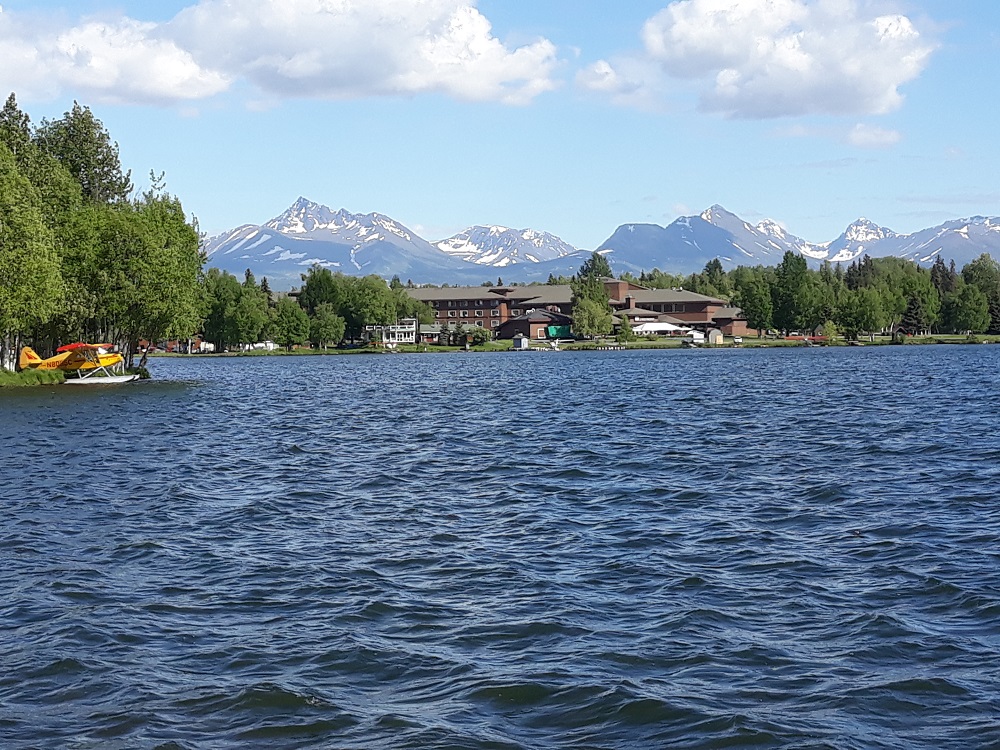
Lake Spenard in Anchorage, a block from my hotel, is also a big floatplane location, and shows the impressive Chugach Mountains State Park east of town.
Image

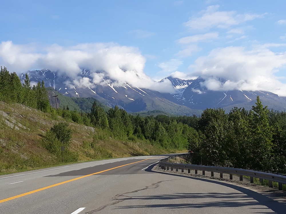
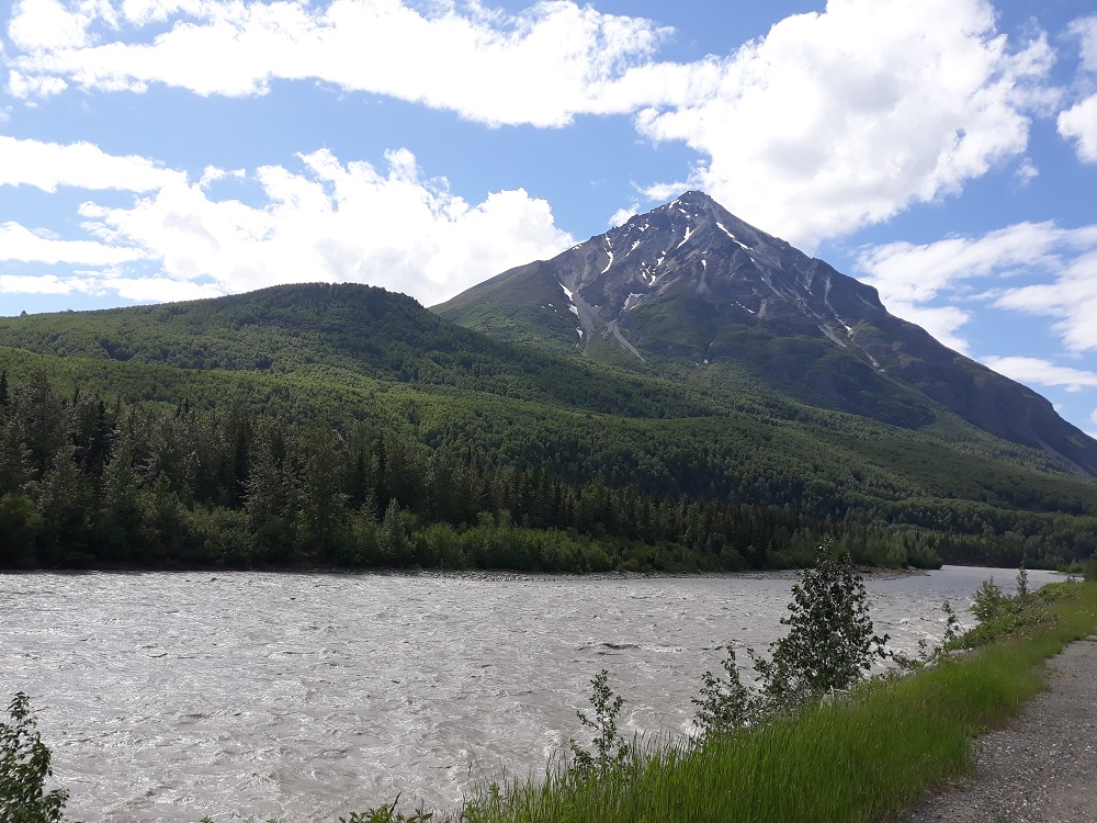
The nearly 300 mile drive from Anchorage is very scenic. Here are more of the Chugach Mountains
Image

Image

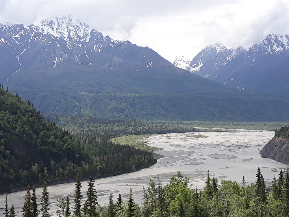
The Matanuska River with more Chugach Mtns
Image

Image

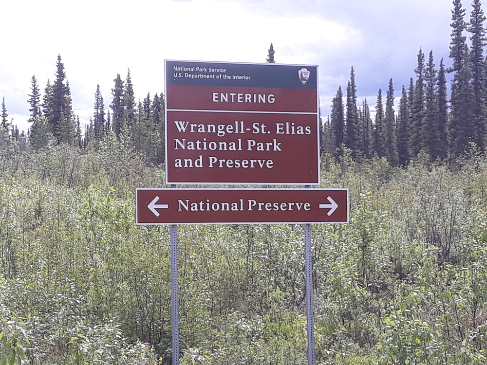
The park is split between preserve, where sport hunting is allowed, and park, where only subsistance hunting is allowed
Image

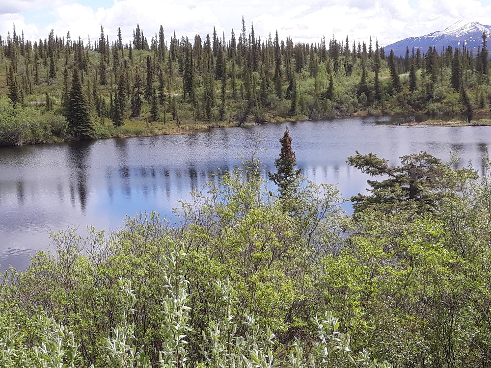
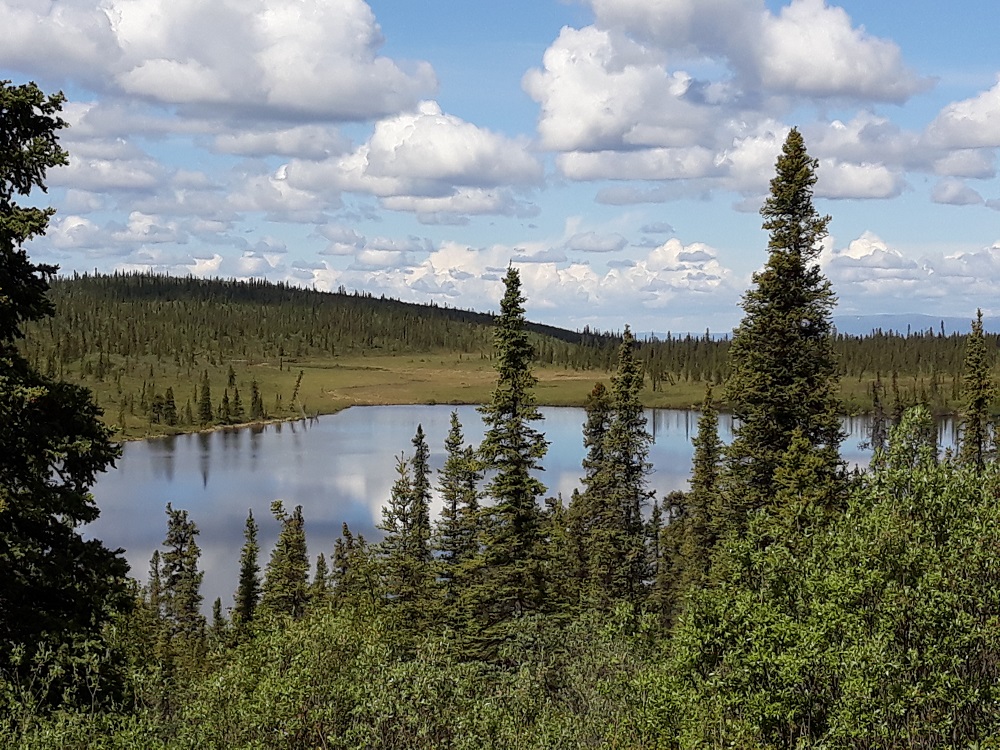
There are many lakes amongst the boreal forest
Image

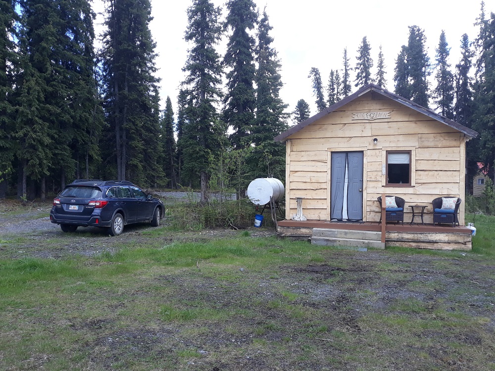
After barely getting through a nasty mud puddle at mile 17, I make it to my cabin
Image

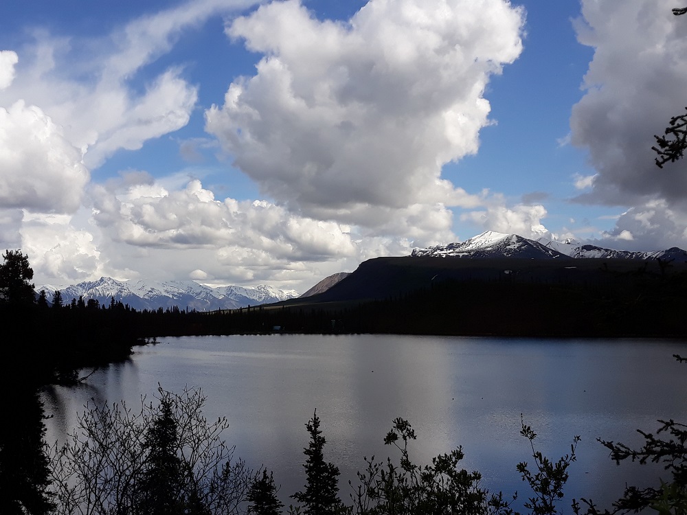
Twin Lakes is near the cabin
Image

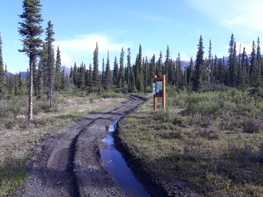
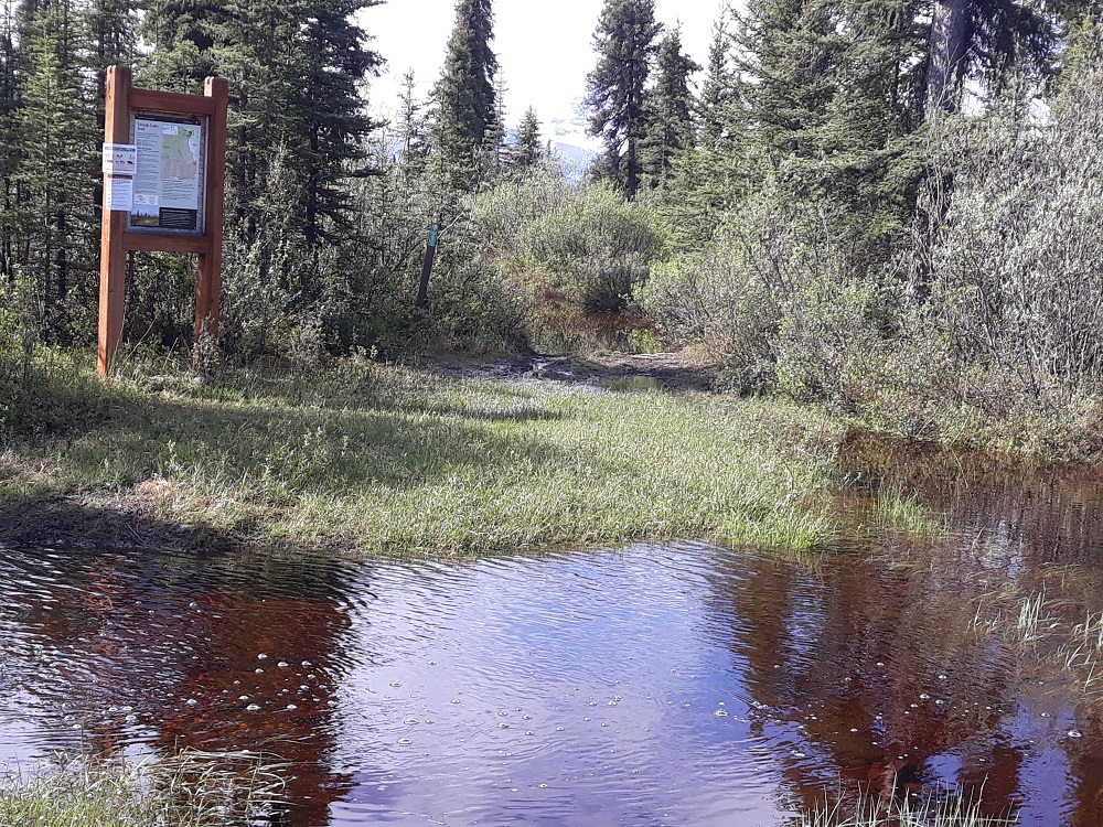
The next day, the start of the Caribou Creek hike, which is an ATV trail also
Image

There were two crossings of Caribou Creek, both of which I managed to rock hop (though not right here)
Image

3+ miles in you get to the Caribou Creek cabin, managed by the NPS. The cabin can be reserved from the park and use of it is free.
Image

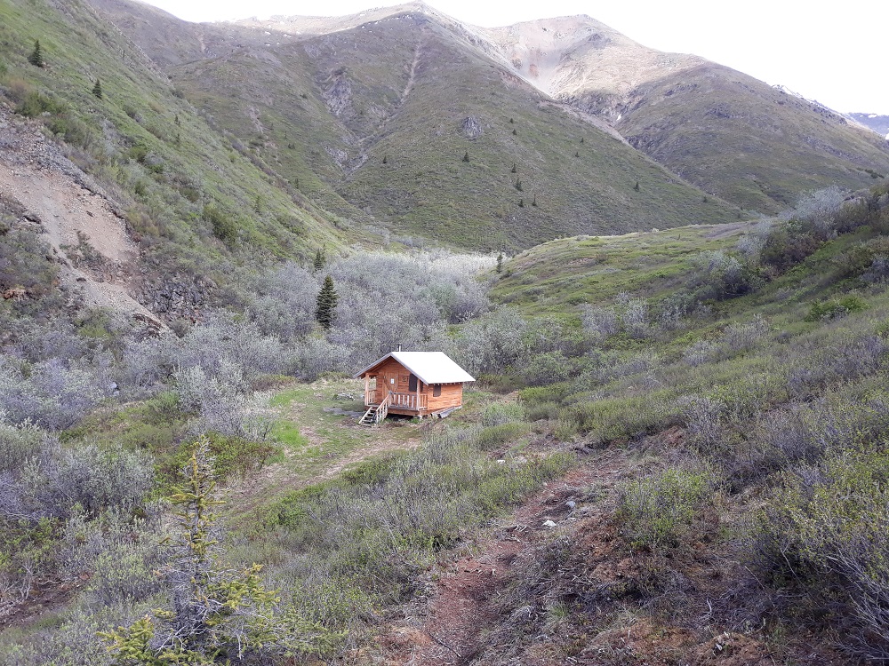
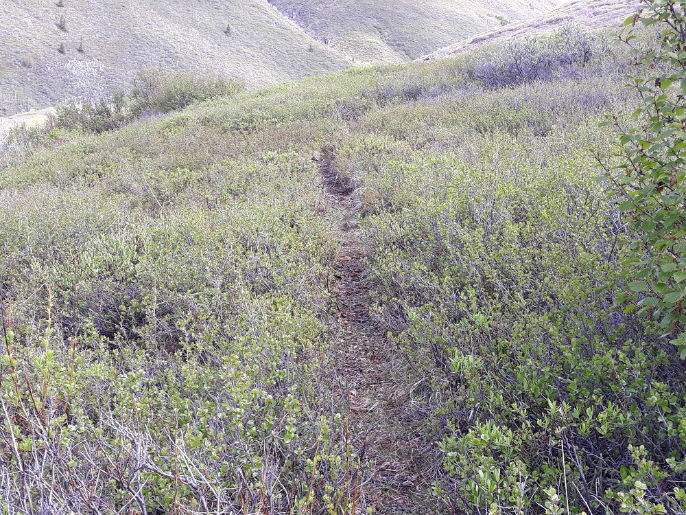
Beyond the cabin, game trails, reibforced by hikers, lead further uphill
Image

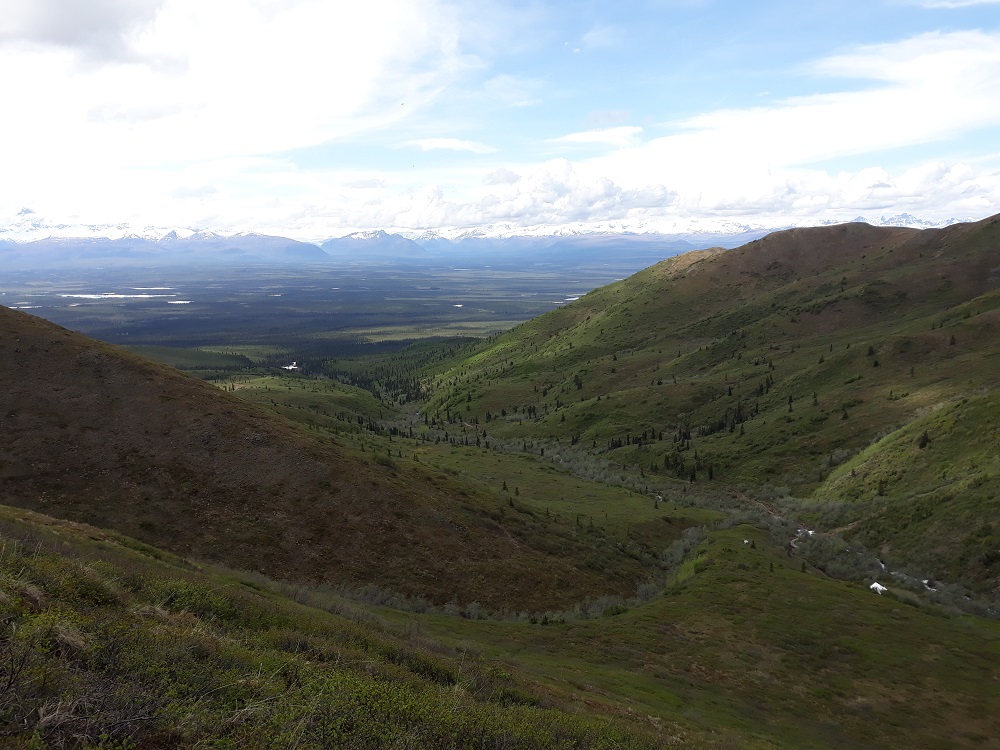
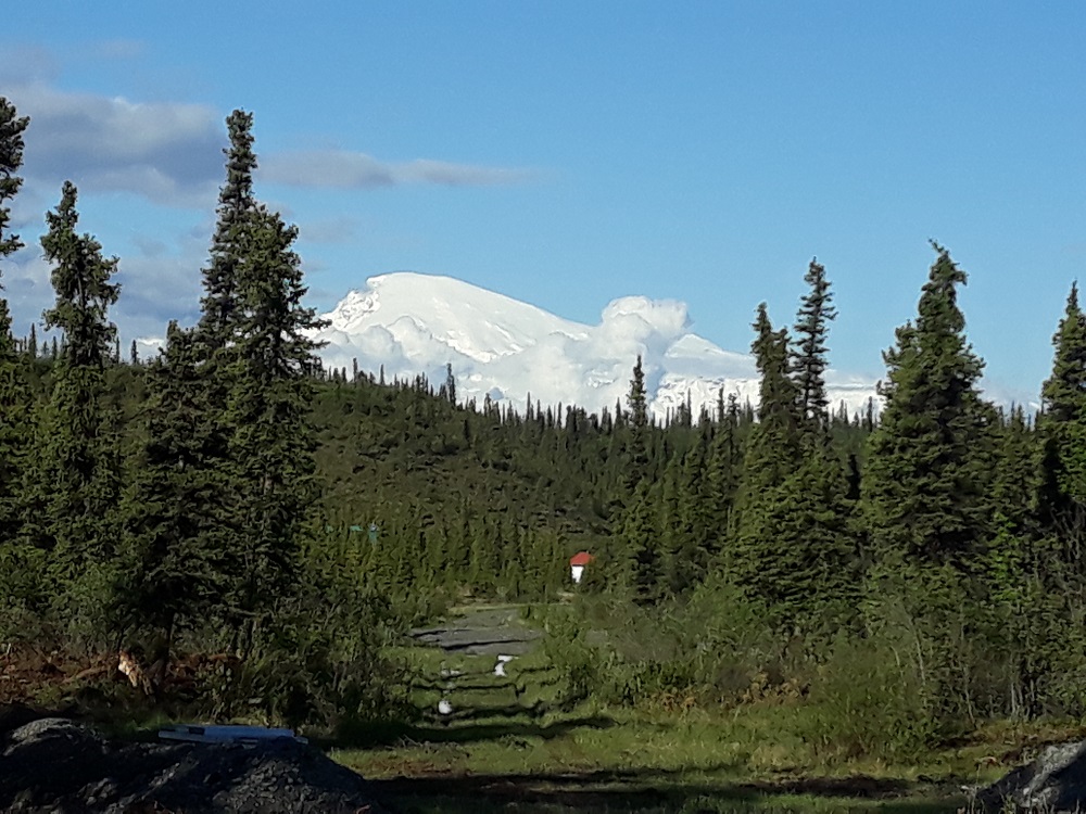
View of the Wrangell Mtns from my highest point. The white in the lower right is the roof of the cabin.
Image

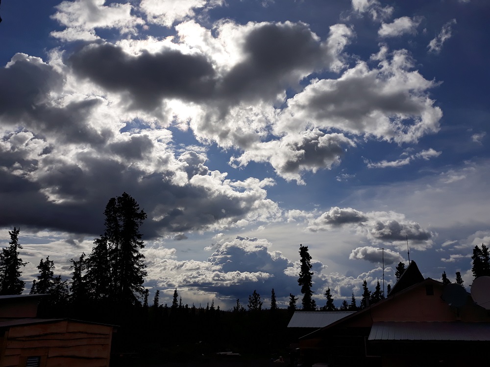
Back at my cabin, dramatic clouds were a common sight.
Image

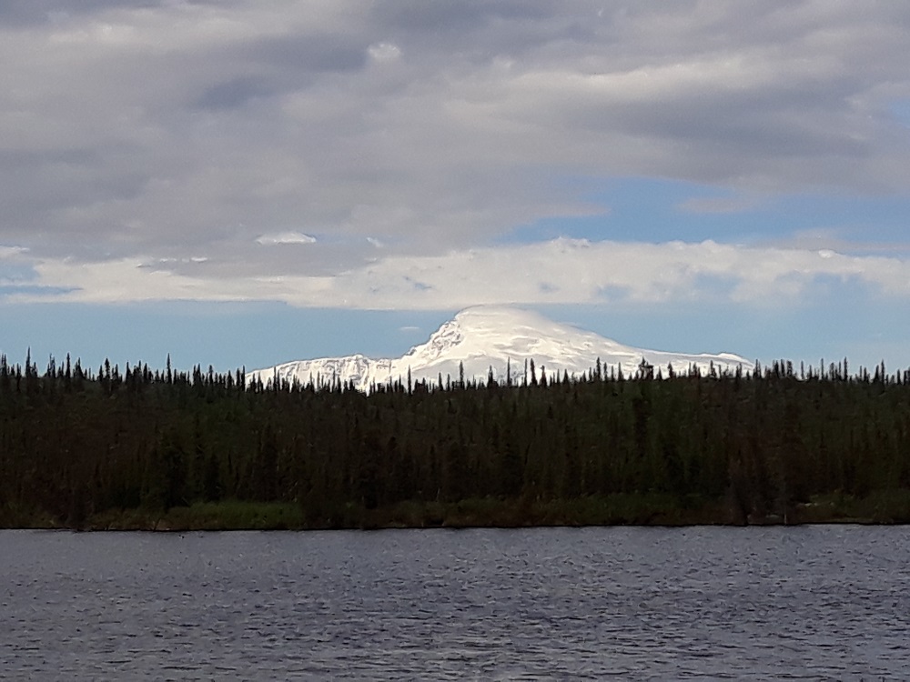
Mt. Sanford (16,237') across Twin Lakes
Image

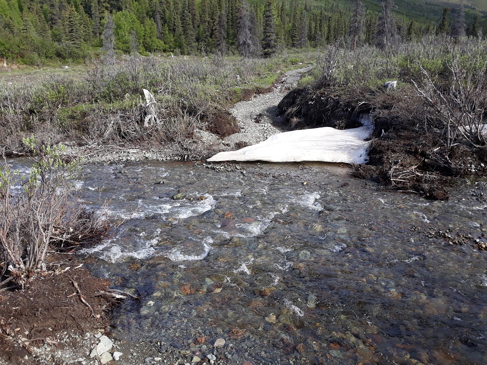
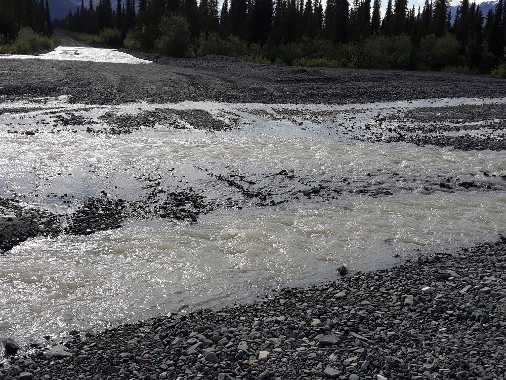
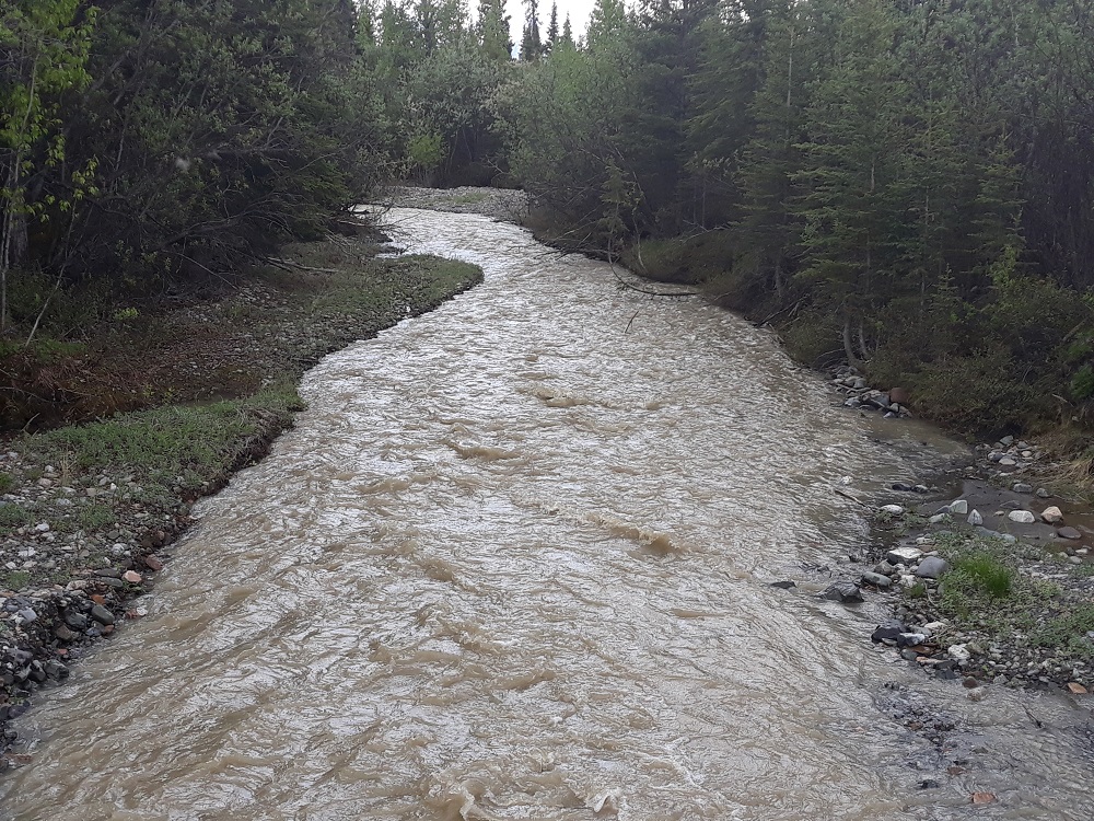
The next day I wanted to do a hike farther up the road. This is where Trail creek crosses the road, note more water in the upper left part of the photo. The road surface was pebbly and solid and I drove across this, as well as Lost Creek, a couple miles further.
Image

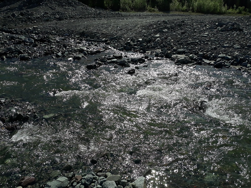
Both Trail and Lost Creeks had been maintained by the DOT, but Boyden Creek here had not been. While not as much water and not as wide, it was a much deeper rut with larger rocks. I don't think my rented Subaru would have gotten across this even if it was dry. Had to turn around and go back.
Image

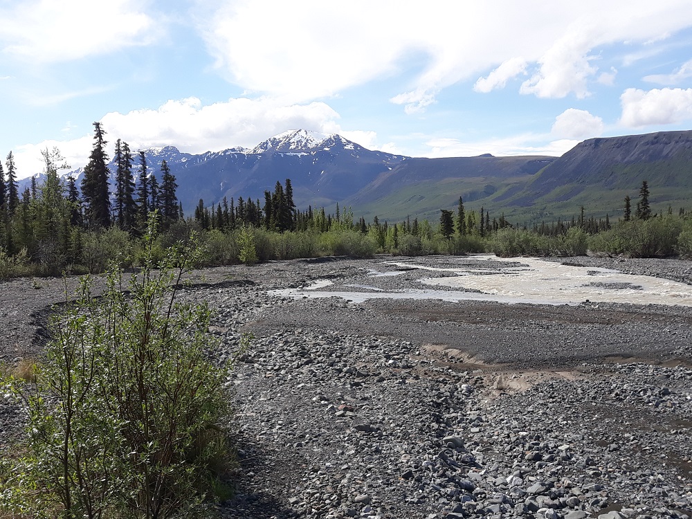
Instead I hiked up the Lost Creek trail a bit. This kind of gravel creekside hiking is standard in Alaska. But there are many wet water crossings and I only went a couple miles. Clouds were gahering.
Image

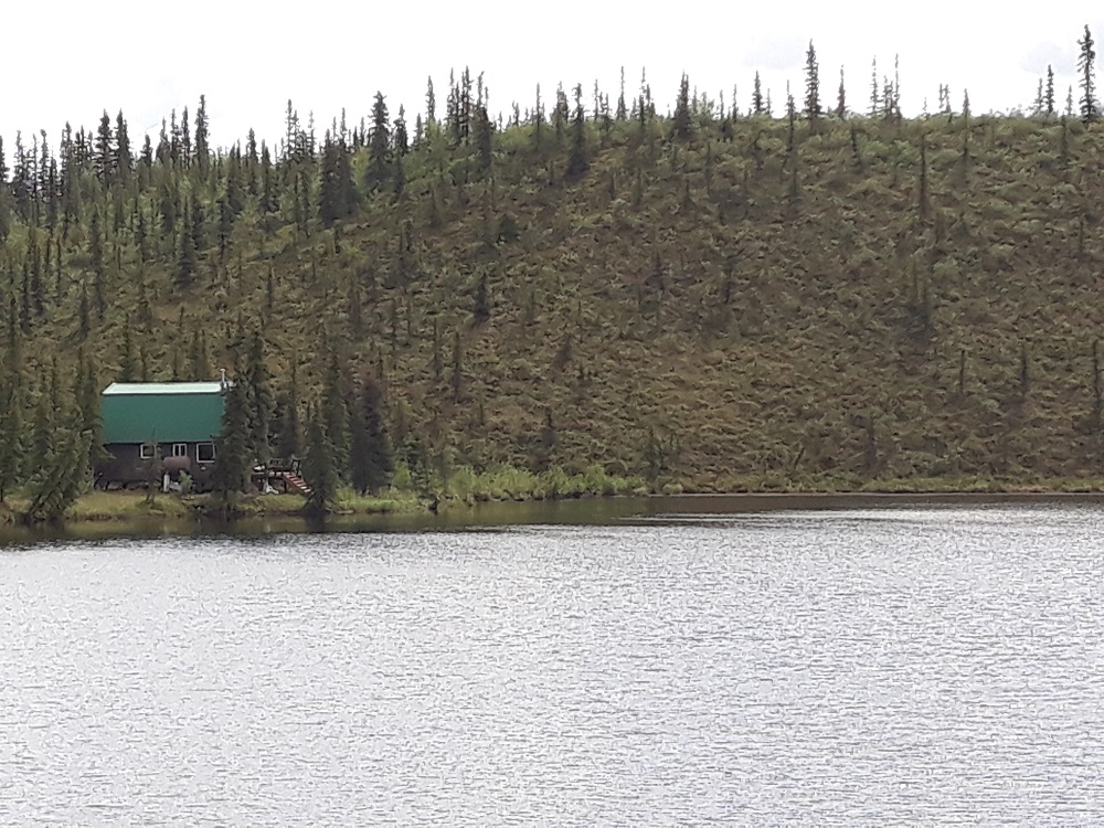
A cabin/home next to Twin Lakes
Image

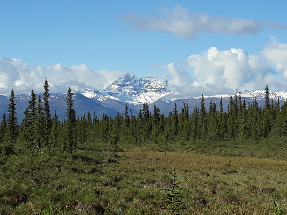
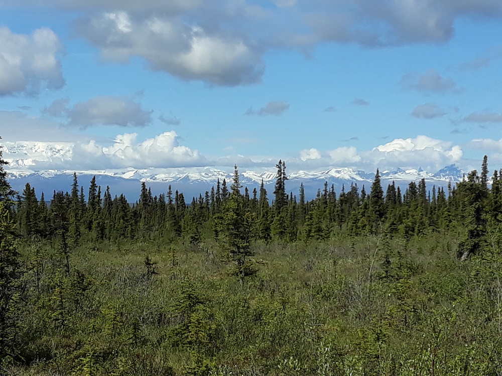
Typical Alaska Boreal forest (due to permafrost not too far down) with the Wrangell's in the distance
Image

The drowning Tanada Lake Trail is listed as suitable only for ATVs, but I talked to a local who said they can't manage this deep water either and get stuck a lot.
Image

Long Lake
Image

Jack Creek
Image

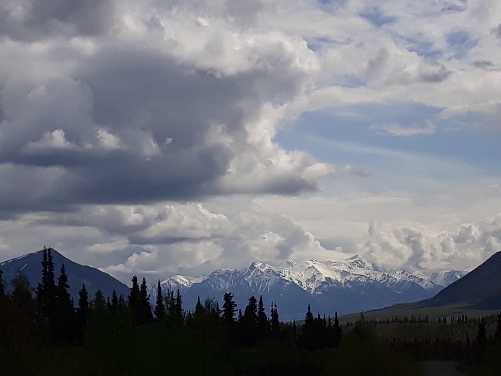
I think this may be the western end of the St Elias Mountains. If so, the pointed peak is Mt. Bona (16,421') with Mt. Churchill immediately to it's left, 15,638'.
Image

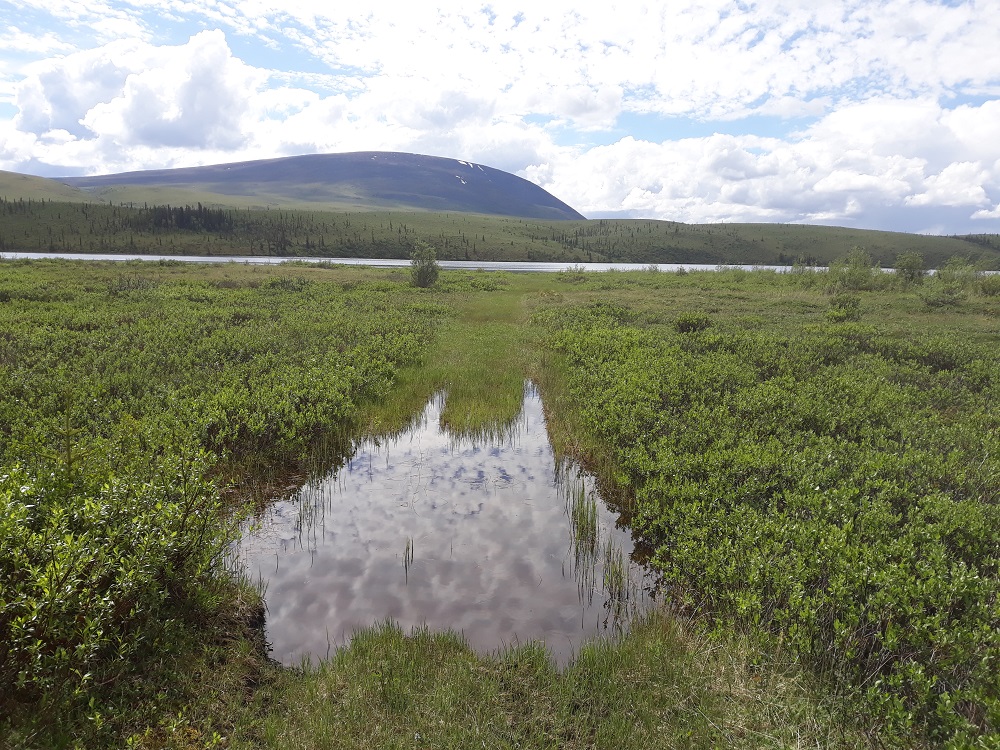
Permafrost in this region (where the high temps are well below zero all winter) means almost everything is boggy. This is the unfinished road to Little Jack Lake. I wore my sandals.
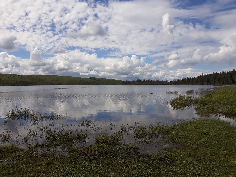
Image

Little Jack Lake
Image

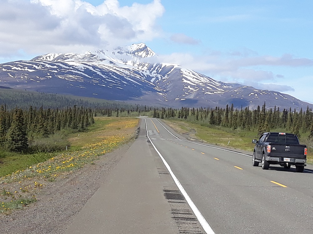
During the drive out, Mt. Sanford again, 16,237'
Image

I think this is Mt. Blackburn, 16,390'
Image

User avatar
retired jerry
Posts: 14417
Joined: May 28th, 2008, 10:03 pm

Re: Wrangell St Elias National Park

Post by retired jerry » July 2nd, 2020, 3:13 pm

you did this recently?

nice!

I'd like to see the Proeneke cabin

did you fly to Anchorage?

User avatar
drm
Posts: 6152
Joined: May 28th, 2008, 10:03 pm
Location: The Dalles, OR
Contact:

Re: Wrangell St Elias National Park

Post by drm » July 3rd, 2020, 7:16 am

June 10-17, flying to Anchorage. The Proeneke cabin is in an even wetter area.

hike
Posts: 10
Joined: September 25th, 2019, 8:22 pm

Re: Wrangell St Elias National Park

Post by hike » July 4th, 2020, 8:13 pm

Looks like a great trip! I did a 9-day backpacking trip out of McCarthy and it was incredible, too.

User avatar
Water
Posts: 1355
Joined: May 28th, 2008, 10:03 pm

Re: Wrangell St Elias National Park

Post by Water » July 6th, 2020, 1:36 am

retired jerry wrote:
July 2nd, 2020, 3:13 pm
you did this recently?

nice!

I'd like to see the Proeneke cabin

did you fly to Anchorage?
I have been to the dick proenneke cabin on upper twin lake in 1996 and I think 1999, each time for 4-5 days. On the first trip I think we had 2 extra days waiting for the float plane-it was windy but otherwise nice by us but the cook inlet side of the mountains were stormy and clouded over so no flights, free extra time at the lake. Except we had to be pretty ready to roll. When we finally heard the plane the pilot's previously relaxed demeanor was pretty amped to get back over lake clark pass before more weather moved in. No small talk until we were back on the Kenai Peninsula.

In June both times and surprisingly did not get rained on that I recall-maybe one drizzle day or so, it is on the west side of the Neacola Range. I am not a pro on Alaskan weather by any stretch but believe the Eastern side of the range and the Chigmit range gets the first pass of storms coming off the gulf of Alaska and up into cook inlet so a little less makes it over towards Twin Lakes where the cabin is. It turns to pretty open tundra country with sparse trees and brushy areas (boggy though I am sure) West of lower Twin Lake along the Chilikadrotna river.
Feel Free to Feel Free

User avatar
retired jerry
Posts: 14417
Joined: May 28th, 2008, 10:03 pm

Re: Wrangell St Elias National Park

Post by retired jerry » July 6th, 2020, 6:20 am

wow! where did you camp? can you go inside the cabin?

User avatar
drm
Posts: 6152
Joined: May 28th, 2008, 10:03 pm
Location: The Dalles, OR
Contact:

Re: Wrangell St Elias National Park

Post by drm » July 6th, 2020, 1:01 pm

hike wrote:
July 4th, 2020, 8:13 pm
Looks like a great trip! I did a 9-day backpacking trip out of McCarthy and it was incredible, too.
I did a backpack out of McCarthy in 2006. It rained every day, though not all day every day.

theoutdooraddiction
Posts: 1
Joined: July 7th, 2020, 2:20 pm

Re: Wrangell St Elias National Park

Post by theoutdooraddiction » July 8th, 2020, 1:54 pm

Man this brings back the memories, gives me goosebumps seeing your pics. I can see the sheep in those hills....

Post Reply